Mori Atlas logo
Park earthquake history

A structured catalogue of historical earthquake events associated with the geography of the Conondale Range.

Bellthorpe National Park Earthquake History and Documented Seismic Activity Records

This archive provides a transparent overview of recorded seismic activity in the vicinity of Bellthorpe National Park. Each entry includes verified event data such as magnitude, focal depth, and geographic coordinates of the epicentre relative to the park boundaries in South East Queensland. These historical records offer insight into regional seismic history without assessing local hazard levels or predictive risk patterns.

Related tags

National ParkQueensland AustraliaEucalypt ForestRainforestConondale Range

Eucalypt forest and rainforest protection in the southern Conondale Range of South East Queensland

Bellthorpe National Park

Bellthorpe National Park is a protected area in South East Queensland, Australia, situated in the southern Conondale Range. The park encompasses approximately 75.5 square kilometres of rugged terrain spanning the localities of Bellthorpe, Booroobin and Sandy Creek. It is administered by the Queensland Parks and Wildlife Service and falls within both the City of Moreton Bay and Somerset Region. The park protects a diverse mosaic of eucalypt forest and rainforest ecosystems that characterize this section of the Great Dividing Range's eastern foothills. Several watercourses traverse the landscape, including Stony Creek, which flows as a tributary of the Stanley River. The park also includes lands within the Brisbane River and Mary River catchments, reflecting its position as a water catchment area for multiple significant Queensland river systems.

Location
Australia
Park type
National park
Area
75.5 km²
Bellthorpe National Park Atlas

Filter reported magnitudes, depths and distances from Bellthorpe’s highland forests and waterfalls

Explore historical earthquake records near Bellthorpe National Park

Investigate source-linked earthquake records around Bellthorpe National Park, a 75.5 km² Australian highland reserve shaped by mountains, forest, woodland, rivers and waterfalls; compare reported time, magnitude, depth, locality and calculated separation from the park. The results describe epicentre geography, not boundary occurrence, landscape effects, seismic causation, present risk or a forecast.

Sort by
Magnitude
Location

This page describes catalogued earthquakes associated with the park by epicentre location and distance. It does not establish causation, assess current danger, or predict future earthquakes.

No earthquake records match the current filters

Park atlas

Continue from Bellthorpe National Park earthquake history into wider discovery

Discover other protected parks after Bellthorpe National Park

A separate protected park collection follows the records associated with Bellthorpe National Park. Its destinations are not claimed to share Australian rainforest, conservation status, earthquake observations, geological settings, proximity, seismic relevance, hazards, risk, or equivalent record pages.
National parkQueensland
3 km away#1 closest

North

Conondale National Park: Protected Landscape, Biodiversity Hotspot in Queensland

Explore its rugged terrain and subtropical rainforests within regional geography.

Conondale National Park offers a deep dive into protected landscape geography, showcasing one of Queensland's most significant subtropical rainforests and a vital refuge for numerous threatened species. Its rugged mountain terrain, deep gorges, and scenic creeks form a pronounced catchment divide, contributing essential regional context. This national park is an Important Bird Area and a stronghold for threatened amphibians and the Richmond birdwing butterfly, highlighting its ecological significance.

Area
368 km²
Established
1977
IUCN
II
Relief
Mountain
National parkQueensland
5.7 km away#2 closest

East

Glass House Mountains National Park: Explore its Protected Landscape and Queensland Geography

Mapped boundaries and regional natural terrain context.

Glass House Mountains National Park serves as a vital protected area, offering a specific geographic focus within Queensland, Australia. This page provides detailed context on its mapped boundaries and landscape character, contributing to a structured understanding of the national park's place in the Sunshine State's diverse geography. It highlights the park's role as a distinct protected territory within the broader Australian atlas.

Area
8.83 km²
Established
1994
IUCN
II
Relief
Mountain
National parkQueensland
9.1 km away#3 closest

South

D'Aguilar National Park: A Queensland National Park with Diverse Mountain Landscapes and Scenic Views

Explore its mapped protected area boundaries and regional geography.

D'Aguilar National Park presents a compelling geographic profile within Queensland, featuring the rugged terrain of the D'Aguilar Range. This national park is notable for its impressive biodiversity and the distinct ecological zones, ranging from arid eucalyptus forests to lush subtropical rainforests. The park's mapped landscape offers significant interest for atlas exploration, providing context on its role as a protected area and its contribution to the regional natural heritage.

Area
20.5 km²
Established
1938
IUCN
II
Visitors
812K annual
National parkQueensland
13 km away#4 closest

East

Dularcha National Park: Queensland National Park Landscape and Geographic Context

Explore mapped protected areas and natural terrain.

Delve into the specific protected landscape of Dularcha National Park, a national park situated in Queensland, Australia. This entry provides detailed information on its geographic features and mapped boundaries, contributing to a structured understanding of protected areas within the Australian atlas. Examine Dularcha National Park's unique natural environment and its place within the Sunshine State's diverse terrain.

Area
4.64 km²
Established
1921
IUCN
II
Climate
Subtropical
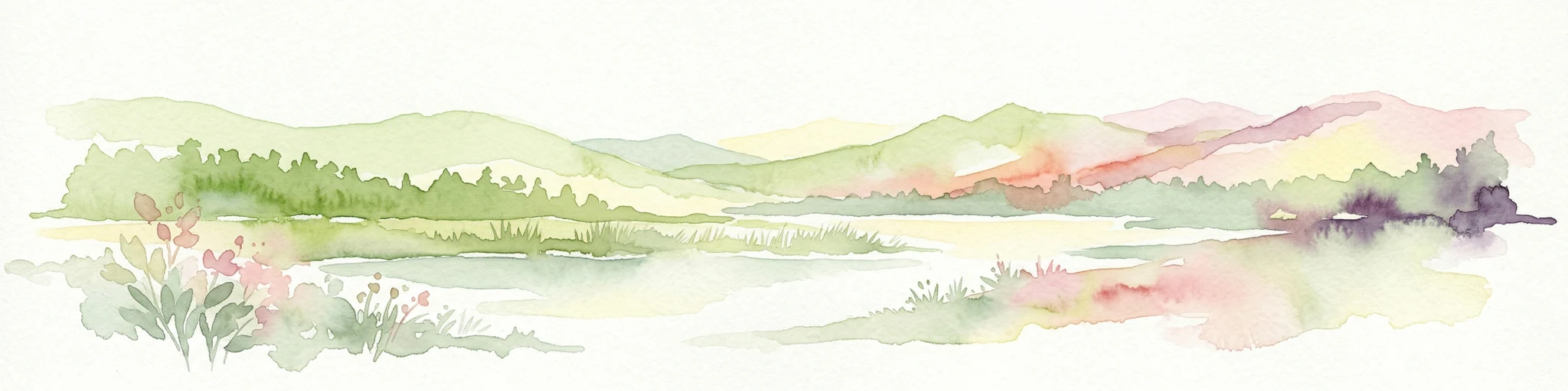
Watercolor painting showing a lake, mountains, trees, and flowers
National parkQueensland
14 km away#5 closest

Northeast

Kondalilla National Park: Protected Waterfall Landscape and Bunya Pine Atlas

Explore Queensland's Blackall Range geography and mapped natural terrain.

Kondalilla National Park is a protected national park on the Blackall Range in Queensland, recognized for its significant remnant subtropical rainforest and spectacular waterfalls. This atlas entry provides detailed insight into its mapped boundaries, geographic setting, and the unique landscape character, including the easternmost bunya pine stands, making it a key destination for protected-area discovery.

Area
3.27 km²
Established
1945
IUCN
II
Relief
Mixed relief
National parkQueensland
20 km away#6 closest

Southwest

Deer Reserve National Park: Queensland National Park Geography and Woodland Landscape

Explore its mapped boundaries and historic wildlife heritage.

Deer Reserve National Park, a designated national park in Queensland, Australia, offers a fascinating glimpse into woodland ecosystems and a unique chapter of the region's history. Covering 32.3 square kilometers, the park sits at an elevation of 480 meters, presenting a subtropical highland terrain characterized by mixed forest and open woodland. Its protected status, established in 2006, highlights its importance for conservation within the South East Queensland bioregion. The park's identity is strongly linked to the historical introduction of red deer, a significant element of its protected landscape value for atlas discovery.

Area
32.3 km²
Established
2006
IUCN
II
Relief
Upland
National parkQueensland
20 km away#7 closest

Northeast

Eudlo Creek National Park: Queensland National Park Protected Landscape

Mapped geography and protected area context.

Eudlo Creek National Park is a designated national park situated within the vast geographical expanse of Queensland, Australia. This entry facilitates an atlas-style understanding of the park, highlighting its mapped boundaries and its significance as a protected natural landscape. Delve into the regional geography and landscape context to appreciate Eudlo Creek National Park's role within Australia's network of conservation areas.

Area
0.43 km²
Established
1951
IUCN
II
Climate
Subtropical
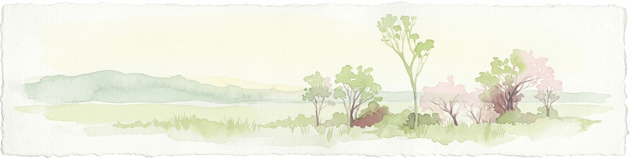
Watercolor illustration of a river landscape with trees, grassy fields, and distant hills under a light sky
National parkQueensland
20 km away#8 closest

East

Mooloolah River National Park: Queensland Protected Landscape and Geographic Context

Explore mapped boundaries and regional natural geography.

Mooloolah River National Park represents a key protected area within Queensland, Australia, offering rich opportunities for geographic and landscape exploration. This page details its specific position within the state's diverse terrain, providing an atlas-style view of its protected boundaries and its significance as a national park. Discover the mapped elements that define this natural landscape and its contribution to regional conservation geography.

Area
6.69 km²
Established
1960
IUCN
II
Relief
Lowland
MoriAtlas Explorer

Continue Exploring Bellthorpe National Park's Geographic and Protected Landscape

Delve deeper into the protected area identity and geographic setting of Bellthorpe National Park. Understanding its mapped boundaries and regional context is crucial for appreciating its place within Queensland's natural atlas. This focused exploration provides structured insights into the park's landscape features and its role within the broader system of protected lands.

Global natural geography