
Mori Atlas logo
Park earthquake history

A historical catalogue of seismic events mapped by proximity to Chukotka protected landscapes

Recorded Earthquake History and Seismic Activity Near Beringia National Park

This collection provides a structured overview of seismic activity recorded in the vicinity of Beringia National Park. Users can browse historical earthquake data, including event dates, magnitude ratings, and epicentre distances calculated in relation to the park boundaries. The data focuses on providing a transparent look at regional tectonic history through an established catalogue of recorded events across the Chukotka Peninsula.

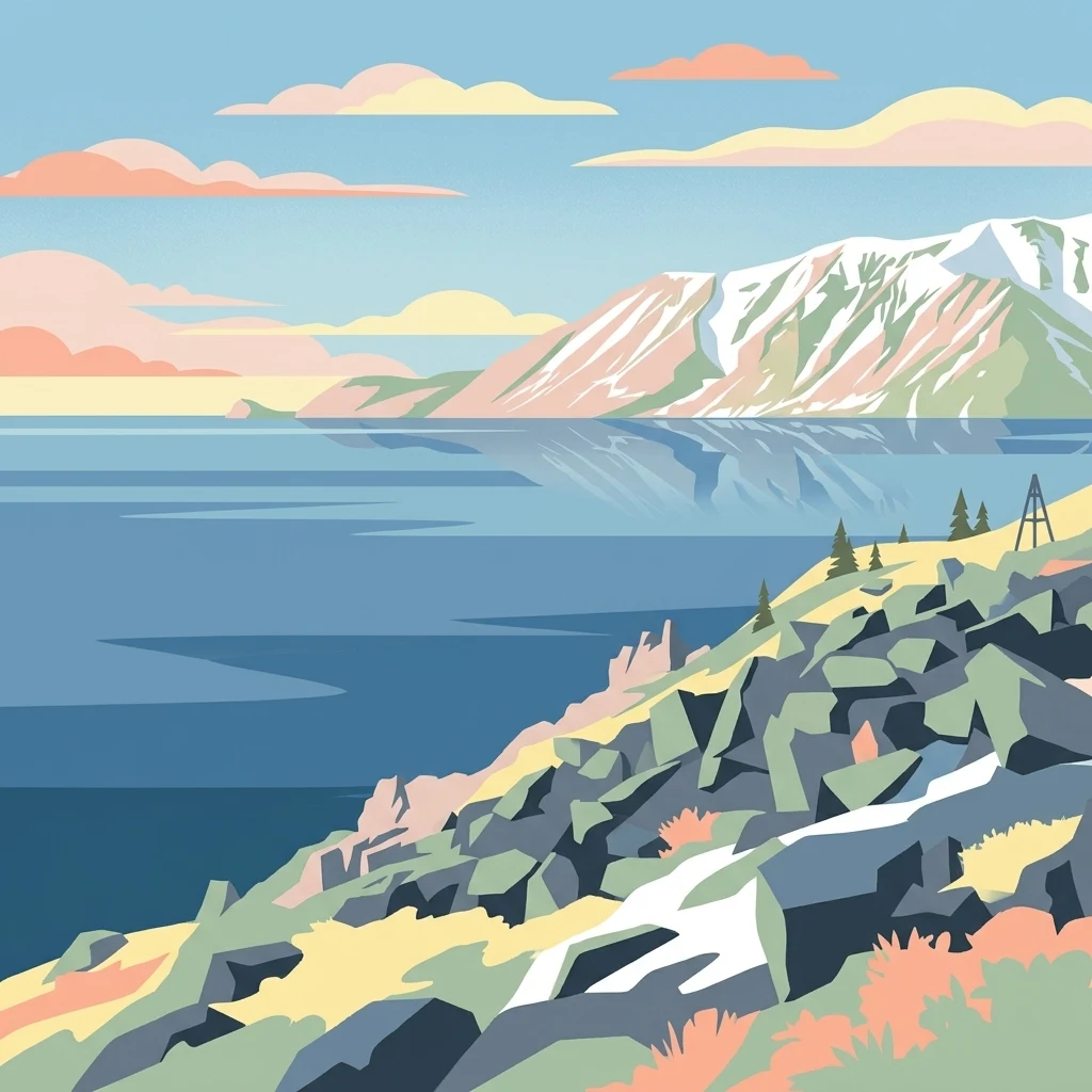
Stylized illustration of a mountainous coastline with rocky shore, calm water, and snow-capped peaks under a sky with clouds

Russia's remote subarctic preserve at the gateway between Asia and North America

Beringia National Park

Beringia National Park is a vast protected area spanning over 30,000 square kilometers along the eastern tip of Chukotka in Russia's far northeastern region. The park occupies a geographically profound position on the Asian side of the Bering Strait, directly opposite Alaska, marking the historical junction where two continents once connected via the legendary Bering land bridge. This landscape preserves some of Earth's most significant archaeological and ecological territory—remnants of the ice-age land connection that allowed human and animal migration between Asia and North America thousands of years ago. The park's remote tundra wilderness remains one of the least-disturbed subarctic ecosystems in Eurasia, with the indigenous Chukchi and Yupik peoples maintaining traditional connections to this land. The terrain combines maritime highland and subarctic tundra characteristics, with mountain ridges averaging around 900 meters in elevation and the highest peak, Mount Iskhodnaya, reaching 1194 meters. Extensive tundra plains stretch between the mountain ranges, creating a characteristic Arctic landscape of mosses, lichens, and dwarf vegetation adapted to the harsh climate. The park encompasses two administrative districts—Providensky to the south and Chukotsky to the north—reflecting its enormous geographic extent across the Chukchi Peninsula. The region's climate produces brief, mild summers and prolonged cold winters, creating conditions that have shaped a distinctive tundra ecosystem recognized internationally for its ecological and paleobiological significance.

Location
Russia
Park type
National park
Established
2013
Area
30,532 km²
Highest point
1,194 m
Beringia National Park Geography and Maps

Review Beringia National Park records by date, magnitude, depth, place, and distance

Search historical earthquake observations for Beringia National Park

Beringia National Park’s searchable history relates earthquake reports to the park by epicentre position and calculated distance, without relocating every event into its vast tundra landscape. Each result carries its recorded date, magnitude, depth, reported locality, separation from the park, and source reference for chronological study—not a conclusion about landscape impact, cause, or risk.

Sort by
Magnitude
Location

This page describes catalogued earthquakes associated with the park by epicentre location and distance. It does not establish causation, assess current danger, or predict future earthquakes.

No earthquake records match the current filters

Park atlas

Expand park discovery beyond the Beringia National Park earthquake catalogue

Continue from Beringia National Park to other protected parks

A separate set of protected destinations creates new exploration paths after the Beringia National Park earthquake records. These links do not establish shared Arctic environments, Russian geography, legal designation, earthquake data, geology, nearby locations, seismic relevance, hazards, or future conditions.
A horizontal watercolor painting depicting a pale, calm body of water in the foreground, with a grassy shoreline and rolling mountain silhouettes in the distance under a soft sky.
National parkChukotka Autonomous Okrug
Mapped location lies within the park boundary#1 closest

East

Beringia National Park: Arctic Tundra and Coastal Protected Area in Chukotka

Geography of the Russian Far East and Bering Strait

Beringia National Park protects a sprawling network of Arctic tundra, dramatic shoreline, and isolated islands within the Chukotka Autonomous Okrug. The area maps the unique environmental transition between Siberia and the Bering Strait, highlighting a complex landscape of river basins and coastal cliffs that support diverse Arctic wildlife and migratory populations.

Area
18,194.5 km²
Established
1993
IUCN
II
Relief
Lowland
National parkNorthwest Arctic Borough
434 km away#2 closest

Northeast

Kobuk Valley National Park: Protected National Park with Regional Geography Context

Explore mapped boundaries and natural terrain within Northwest Arctic Borough.

Kobuk Valley National Park serves as a primary protected landscape within the Northwest Arctic Borough, Alaska. This entry facilitates detailed atlas exploration of its specific geography, mapped protected boundaries, and the natural terrain that defines its character as a designated national park. Understand its place within the broader regional landscape for comprehensive geographic discovery.

Area
7,084.9 km²
Established
1980
IUCN
II
Visitors
17.6K annual
Wildlife reserveAlaska
About 636 km away#3 closest

East

Innoko Wilderness: Geographic Profile and Protected Landscape of Interior Alaska

Subarctic wilderness tracking wetlands and boreal transitions

Spanning over one million acres in the Alaskan interior, Innoko Wilderness offers a unique look at a sprawling subarctic ecosystem. Dominated by muskeg, interconnected lakes, and the floodplains of the Yukon and Innoko Rivers, this protected area functions as a critical transition zone between interior forests and western tundra landscapes.

Area
5,000 km²
Established
1980
IUCN
Ib
Relief
Lowland
National parkAlaska
About 736 km away#4 closest

Northeast

Gates of the Arctic National Park and Preserve: Alaska's Remote Protected Landscape

Explore mapped park boundaries and regional geographic context.

Delve into the protected landscape of Gates of the Arctic National Park and Preserve, a vast national park situated in Alaska. This entry offers a detailed perspective on its geographic setting, focusing on mapped boundaries and its significance as a protected area. Understand the scale and natural context of this remote wilderness for comprehensive atlas-based exploration.

Area
34,287 km²
Established
1978
IUCN
V
Visitors
11.9K annual
National parkAlaska
About 962 km away#5 closest

East

Denali National Park and Preserve: Detailed Protected Landscape and Map Exploration in Alaska

Explore its mapped boundaries and Alaskan regional geography.

Understand Denali National Park and Preserve as a distinct protected landscape within Alaska's vast geography. This park detail page offers insights into its mapped boundaries, natural terrain, and its contribution to the regional atlas of protected areas. Discover the geographic context that defines this significant national park, providing a foundation for detailed map-based exploration and understanding of its conservation significance.

Area
24,464 km²
Established
1917
IUCN
V
Visitors
427.6K annual
National parkAlaska
About 983 km away#6 closest

East

Lake Clark National Park and Preserve National Park: Alaska's Protected Landscape Discovery

Mapping the geographic context and protected park boundaries.

Lake Clark National Park and Preserve stands as a protected national park in Alaska, offering a distinct geographic identity for atlas exploration. Delve into its role as a protected landscape, examining its mapped presence within the Alaskan region. This resource provides structured insights into the park's protected area status and its contribution to the understanding of natural terrain and regional geography.

Area
16,308.9 km²
Established
1980
IUCN
V
Visitors
19.8K annual
National parkAlaska
1,043 km away#7 closest

East

Katmai National Park and Preserve: Alaska National Park Atlas and Protected Landscape Exploration

Discover mapped boundaries and regional geographic context within Alaska.

Katmai National Park and Preserve represents a significant protected landscape within the state of Alaska, offering a unique point for atlas-based geographic inquiry. This detail page provides structured information focused on the park's mapped boundaries, its place within regional geography, and the characteristics of its natural terrain. Understand the core identity of Katmai National Park and Preserve as a protected national park entity for comprehensive map exploration.

Area
16,564.1 km²
Established
1980
IUCN
II
Visitors
34.5K annual
Nature reserveAlaska
About 1,170 km away#8 closest

East

Kachemak Bay National Estuarine Research Reserve: Alaska Protected Nature Reserve Atlas

Coastal and marine watershed geography on the Kenai Peninsula.

Kachemak Bay National Estuarine Research Reserve is a federally protected landscape on the western shore of the Kenai Peninsula. It encompasses diverse terrains including eelgrass meadows, tidal mudflats, and spruce forests. As the largest unit in the national estuarine system, it provides a unique window into the geographic connection between Gulf of Alaska marine zones and upland forest catchments.

Area
1,500 km²
Climate
Subpolar
Scope
Mixed
Water
Water-dominated
MoriAtlas Explorer

Continue Exploring the Geographic Landscape of Beringia National Park

Delve into the mapped terrain and natural boundaries of Beringia National Park through the MoriAtlas collection. Investigate how this remote subarctic region connects to the broader ecological and historical context of the Bering Strait and the surrounding Chukotka environment.
