Mori Atlas logo
Park earthquake history

Explore documented seismic activity and event data for the regional coastal geography

Historical Catalogue of Recorded Earthquakes Associated with Bouddi National Park

This collection provides a comprehensive view of recorded earthquake activity situated within the proximity of Bouddi National Park, New South Wales. By tracking historical events through associated epicentre coordinates, this catalogue offers researchers and regional observers a direct way to examine the seismic history of the surrounding coastal terrain. All records are sourced from standardized datasets and are presented as a reference for understanding past environmental measurements near this protected area.

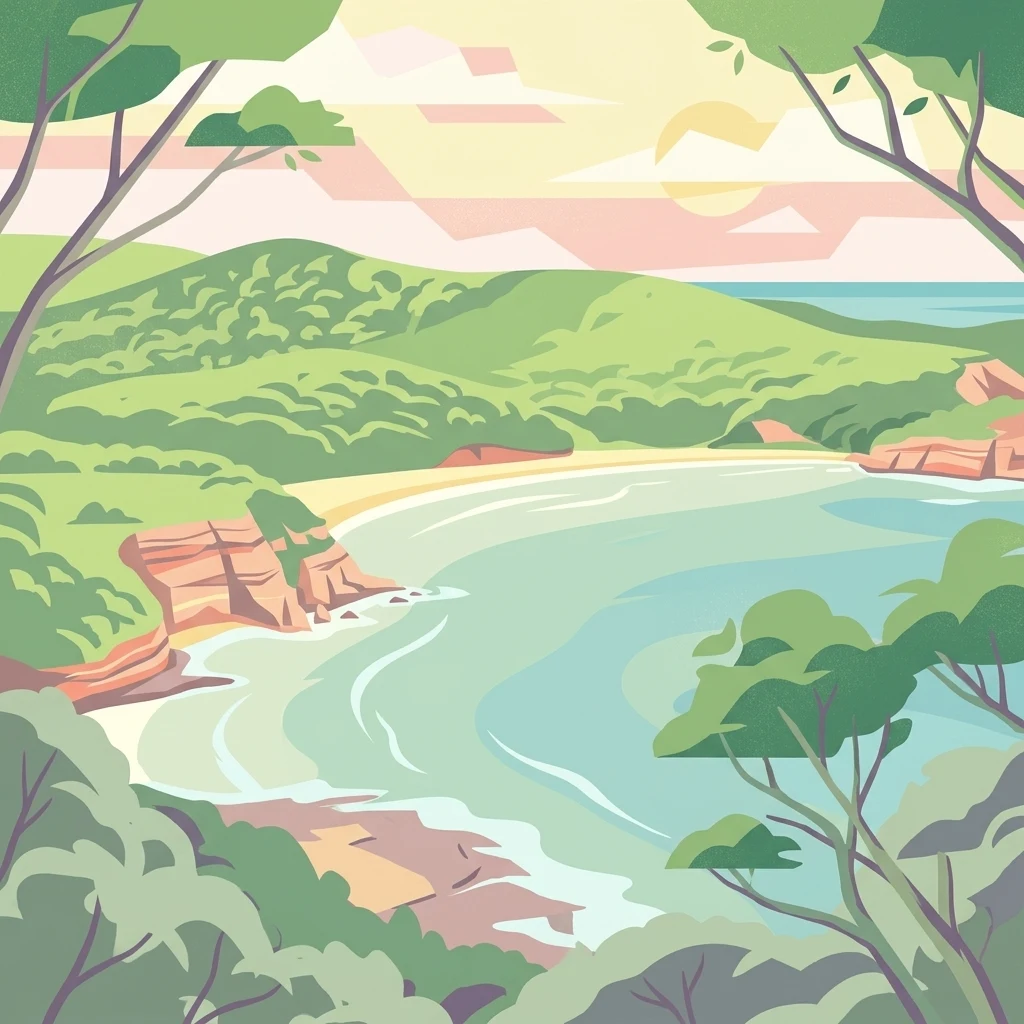
Stylized illustration of a coastal landscape featuring rocky cliffs, sandy beach, turquoise water, and green forest under a sunset sky.

Coastal wilderness on the Central Coast of New South Wales with ancient rainforests and marine habitats

Bouddi National Park

Bouddi National Park is a coastal protected area located in the Central Coast region of New South Wales, approximately 93 kilometers northeast of Sydney. The park encompasses 1,532 hectares of diverse terrain that extends from forested ridgelines down to rocky coastal shores and into the Tasman Sea, creating a fully protected marine environment. One of the park's defining features is Fletchers Glen, which contains one of the last remaining patches of mature temperate rainforest on the Central Coast, representing a rare and ecologically significant habitat within the region. The park's indigenous heritage is reflected in its name, which derives from a local Aboriginal word meaning heart, referencing the prominent natural features of the district that have been documented on maps since 1828. The park was established through decades of advocacy by bushwalking organizations and local councils, evolving from an early reserve managed by a trust to a formally designated national park under New South Wales legislation.

Location
Australia
Park type
National park
Established
1967
Area
15.3 km²
Bouddi National Park Protected Area

Inspect Bouddi National Park dates, magnitudes, depths, places, and park distances

Explore historical earthquake records near Bouddi National Park

Explore earthquake history near Bouddi National Park, a 15.32 km² mixed-scope lowland park in Australia with major waters; each result retains its own coordinates, date, magnitude, depth, locality, source, and calculated park distance. Closeness supplies regional context but does not establish an epicentre inside the protected limits, forest or coastal impacts, current risk, or a prediction.

Sort by
Magnitude
Location

This page describes catalogued earthquakes associated with the park by epicentre location and distance. It does not establish causation, assess current danger, or predict future earthquakes.

No earthquake records match the current filters

Park atlas

Continue from Bouddi National Park earthquake records into broader discovery

Find more protected park destinations beyond Bouddi National Park

After the Bouddi National Park earthquake catalogue, a distinct collection of protected destinations opens new atlas routes. Inclusion does not imply shared Australian coastline or forest, protection status, earthquake observations, geological settings, proximity, seismic relevance, hazards, risk, or equivalent record pages.
National parkNew South Wales
2.6 km away#1 closest

West

Brisbane Water National Park: A Protected Landscape in New South Wales' Sydney Basin Bioregion

Explore mapped terrain, endangered ecosystems, and coastal waterway geography.

Brisbane Water National Park, located in New South Wales, Australia, is a vital protected area safeguarding critical ecosystems within the Sydney Basin bioregion. This national park features a diverse landscape encompassing rugged escarpments, fertile valleys, and important coastal waterways. Its protected status makes it a crucial conservation refuge, offering insights into unique natural terrain and regional geography for those seeking detailed, map-centric exploration.

Area
115.06 km²
Established
1959
IUCN
II
Relief
Mixed relief
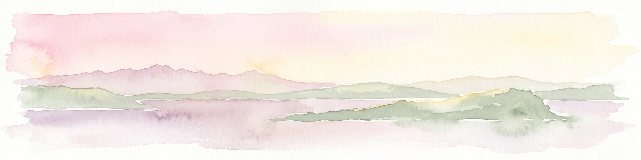
A horizontal watercolor painting depicting a soft-hued coastal landscape with an island in the foreground and distant hills under a pale, sunrise-toned sky.
Nature reserveNew South Wales
About 2.7 km away#2 closest

Southwest

Lion Island Nature Reserve: An Island Protected Area in the Hawkesbury River Estuary

Coastal geography and protected land status in New South Wales

Situated in Broken Bay, Lion Island Nature Reserve serves as a crucial protected refuge within the New South Wales coastal network. This island landscape exhibits distinct geological layering and provides a controlled habitat for significant seabird breeding colonies, illustrating the importance of small, strictly managed protected areas in marine estuary environments.

Area
0.08 km²
Established
1956
IUCN
Ia
Relief
Lowland
National parkNew South Wales
3.7 km away#3 closest

Southwest

Ku-ring-gai Chase National Park: Hawkesbury Sandstone Protected Landscape and Ria Coastline

New South Wales National Park with mapped Aboriginal heritage.

Ku-ring-gai Chase National Park in New South Wales is renowned for its striking Hawkesbury Sandstone geology, defining its rugged plateau and steep, flooded ria valleys that shape a dramatic coastline. As Australia's third oldest national park, it preserves over 800 Aboriginal heritage sites, including rock engravings and art, set within a landscape perfect for geographic exploration and understanding protected areas. Examine its unique mapped terrain, from volcanic intrusions to tessellated pavements, all contributing to its distinct protected landscape identity.

Area
149.77 km²
Established
1894
IUCN
II
Visitors
2M annual
National parkNew South Wales
11 km away#4 closest

Northeast

Wyrrabalong National Park National Park: Protected Littoral Rainforest and Coastal Geography

Explore mapped terrain and vital bird habitats in New South Wales.

Wyrrabalong National Park on New South Wales' Central Coast is an essential protected landscape, noted for safeguarding the last significant coastal littoral rainforest of its kind. This park entry details the mapped geography across its peninsula, island, and beachfront sections, revealing a compact yet ecologically rich environment. It highlights the park's importance as part of an Important Bird Area, supporting significant waterbird and woodland bird populations within its protected boundaries, offering a unique glimpse into a vanishing coastal ecosystem.

Area
6.2 km²
Established
1991
IUCN
II
Relief
Lowland
National parkNew South Wales
13 km away#5 closest

Northwest

Popran National Park National Park: A Protected Landscape Atlas in New South Wales

Explore the valley terrain and Aboriginal heritage of this protected natural area.

Popran National Park in New South Wales is a significant protected national park offering rich insights into Australia's natural and cultural heritage. This park preserves the unique valley landscapes of the Popran Creek catchment and the historically important Glenworth Valley. Its geography reflects the broader Sydney basin, with terrain averaging 135 metres in elevation, showcasing riparian ecosystems and eucalyptus forests. The park's protected status ensures the conservation of this distinctive landscape, making it a key point of interest for geographic discovery and understanding regional Australian protected areas.

Area
39.7 km²
Established
1994
IUCN
II
Relief
Upland
Nature reserveNew South Wales
About 14 km away#6 closest

West

Muogamarra Nature Reserve: Geography, Sandstone Terrain, and Protected Land Boundaries

Exploration of a sandstone wilderness in the Sydney region.

Spanning over 2,200 hectares between Cowan and the Hawkesbury River, Muogamarra Nature Reserve represents a strictly managed protected area known for its distinctive dry sclerophyll forest and sandstone geology. This atlas entry focuses on the interplay between elevated rocky outcrops and tidal river boundaries, offering a detailed perspective on one of the most culturally and ecologically significant reserves in New South Wales.

Area
22.74 km²
Established
1960
IUCN
Ia
Relief
Upland
State or regional parkNew South Wales
17 km away#7 closest

North

Jilliby State Conservation Area: Geographic Boundaries and Regional Protected Landscapes

Forested hinterland and protected bushland in New South Wales

Jilliby State Conservation Area encompasses a rich bushland environment behind the New South Wales Central Coast. The protected territory features a contrast between ridge-top forests and deep, moisture-rich rainforest gullies. Beyond its natural terrain, the area holds cultural significance and provides a vital habitat for diverse birdlife within the broader regional landscape.

Area
121.59 km²
Scope
Terrestrial
National parkNew South Wales
17 km away#8 closest

Southwest

Garigal National Park: National Park Protected Landscape and Geographic Exploration

Mapped boundaries and regional natural terrain context in New South Wales.

Garigal National Park is a designated national park offering a specific focus for geographic and protected-area exploration. This detail page provides an atlas-oriented view of its mapped natural landscape and its role within the broader protected areas of New South Wales. Understand the park's identity through its geographic features and protected boundaries, enabling structured discovery of its unique landscape context.

Area
22.02 km²
Established
1991
IUCN
II
Relief
Mixed relief
MoriAtlas Explorer

Continue Exploring Bouddi National Park's Mapped Terrain and Protected Coastline

Delve deeper into the geographic context of Bouddi National Park, understanding its unique landscape features, protected boundaries, and the ecological significance of its diverse terrain. This exploration offers insights into its role as a key protected area within New South Wales, aiding in broader geographic and atlas discovery.

Global natural geography