Mori Atlas logo
Park earthquake history

A structured database of recorded tremors identified by epicentre proximity to protected forest landscapes.

Butterleaf National Park Earthquake Records and Historical Seismic Data Collection

Access a factual catalogue detailing earthquake events associated by geographical proximity with Butterleaf National Park in northern New South Wales. This resource compiles historical seismic data points, including event dates, recorded magnitudes, and focal depths, sourced to illustrate recorded activity patterns within the regional geography. The data highlights seismic history in relation to the protected old-growth forest boundaries.

Related tags

Old-growth forestArboreal marsupialsNorthern NSWHollow-bearing treesProtected area

Old-growth forest sanctuary for arboreal marsupials in northern New South Wales

Butterleaf National Park

Butterleaf National Park is a protected area in northern New South Wales, Australia, situated approximately 491 kilometres north of Sydney. The park covers a modest area of 30 square kilometres and was established in 1999 under the management of the NSW National Parks and Wildlife Service. The park is characterised by old-growth forest ecosystems featuring large, hollow-bearing trees that provide critical habitat for a range of arboreal wildlife species. This relatively small protected area plays an important role in conserving the remaining old-growth forests of the New England region, supporting populations of cavity-nesting birds and marsupials that depend on hollow-bearing trees for shelter and breeding. The park's significance lies in its preservation of mature forest stands in a landscape that has been extensively cleared for agriculture and pastoral use.

Location
Australia
Park type
National park
Established
1999
Area
30 km²
Butterleaf National Park protected area

Examine regional epicentres around the old-growth forest reserve

Earthquake reports associated with Butterleaf National Park

Butterleaf National Park’s earthquake section links regional reports to the park through epicentre location and measured separation rather than suggesting that every record originated among its old-growth eucalypt forest. The available chronology, magnitude, depth, place description, distance, and source fields support a transparent review of the stored evidence.

Sort by
Magnitude
Location

This page describes catalogued earthquakes associated with the park by epicentre location and distance. It does not establish causation, assess current danger, or predict future earthquakes.

No earthquake records match the current filters

Park atlas

Continue beyond Butterleaf National Park earthquake history in the atlas

Discover other protected parks after Butterleaf National Park

Butterleaf National Park anchors the earthquake collection before the atlas moves from one northern New South Wales old-growth forest and hollow-bearing-tree habitat to other destinations. Their inclusion does not establish shared national-park status, woodland, wildlife, distance, geology, seismic records, hazards, risk, or matching coverage.
National parkNew South Wales
6.8 km away#1 closest

North

Capoompeta National Park National Park: Protected Landscape and Regional Geography

Explore mapped boundaries and natural terrain in New South Wales.

Capoompeta National Park represents a key protected landscape entity within New South Wales, Australia. This detail page provides focused geographic information, emphasizing its status as a national park and its contribution to the regional atlas. Users can investigate the park's mapped terrain, understand its protected land characteristics, and grasp its geographical setting within the Australian context.

Area
39 km²
Established
1999
IUCN
II
Relief
Mountain
National parkNew South Wales
7.6 km away#2 closest

Northeast

Washpool National Park National Park: Protected Area Atlas and New South Wales Geography

Explore the mapped boundaries and natural landscape context.

Washpool National Park represents a significant protected area within the geographic landscape of New South Wales. This entry provides a structured exploration of its identity as a national park, focusing on its mapped boundaries, regional distribution, and the natural terrain it encompasses. Understand its role within a broader atlas of protected lands and its unique geographic characteristics.

Area
587 km²
Established
1983
IUCN
II
Relief
Mountain
National parkNew South Wales
12 km away#3 closest

Southeast

Barool National Park: National Park Discovery and Geographic Context

Mapped protected area within New South Wales.

Barool National Park is identified as a protected national park, contributing to the rich tapestry of natural landscapes across New South Wales. Understanding its specific location and mapped boundaries is essential for appreciating its role within the regional geography of Australia. This entry provides a factual basis for exploring the park's identity as a defined protected area, offering a unique point of reference for geographic discovery.

Area
112.44 km²
Established
1999
IUCN
II
Climate
Temperate
National parkNew South Wales
14 km away#4 closest

East

Nymboida National Park: A Protected National Park in New South Wales with Mapped Geographic Context

Explore its protected landscape and regional park geography

Nymboida National Park is a key protected area within the state of New South Wales, Australia. This page provides essential details for atlas exploration, focusing on its mapped boundaries and the geographic context it occupies. Understand the park's identity as a national park and its contribution to the protected landscape of the region, offering insights into its natural terrain and regional distribution.

Area
316 km²
Established
1980
IUCN
Ib
Relief
Mountain
National parkNew South Wales
14 km away#5 closest

East

Gibraltar Range National Park: New South Wales Protected Landscape Explorer

Mapped park boundaries and regional geography of a key national park.

Delve into the protected landscape identity of Gibraltar Range National Park, a significant national park situated in New South Wales. This page offers detailed insights into its mapped boundaries and its place within the broader regional geography. Understanding Gibraltar Range National Park provides essential context for exploring Australia's network of protected areas and appreciating the diverse natural terrain it safeguards.

Area
253 km²
Established
1987
IUCN
Ib
Relief
Mountain
Nature reserveNew South Wales
About 18 km away#6 closest

South

Mann River Nature Reserve: Geography and Protected Forest Terrain in New South Wales

Highland river valleys and Great Dividing Range landscapes

Spanning over 7,000 hectares of rugged highland terrain, Mann River Nature Reserve provides a vital protected habitat within the Northern Tablelands. The landscape is defined by the incision of the Mann River through deep, forested gorges and sharp mountain ridges, creating a distinct physical setting that serves as a sanctuary for native Australian wildlife.

Area
71.28 km²
Established
1985
IUCN
II
Relief
Mountain
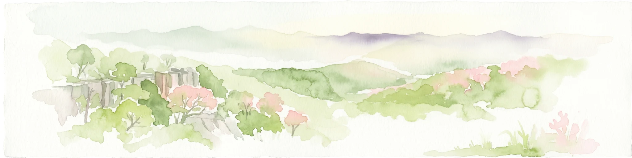
Watercolor illustration of rolling hills, green forests, and pink flowering trees
National parkNew South Wales
26 km away#7 closest

Southeast

Guy Fawkes River National Park: National Park Geographic Context and Mapped Boundaries

Explore the protected landscape and regional geography of this New South Wales national park.

Gain a structured understanding of Guy Fawkes River National Park, a key national park in New South Wales, Australia. This entry provides detailed insights into its mapped geographic boundaries, its role as a protected landscape, and its contribution to the broader regional context for atlas exploration. Examine the park's place within the natural terrain of New South Wales for a clearer picture of conservation lands.

Area
1,005.9 km²
Established
1972
IUCN
Ib
Relief
Highland
National parkNew South Wales
46 km away#8 closest

South

Warra National Park: Protected Landscape Identity and Geographic Setting in New South Wales

Mapped boundaries and regional natural terrain context.

Warra National Park represents a key protected area, offering critical insights into the natural geography of New South Wales, Australia. This detail page focuses on its identity as a national park, detailing its mapped boundaries and the surrounding landscape context. Understand the specific geographic features and the protected land designation that define Warra National Park, enhancing your atlas exploration with precise regional details.

Area
19.2 km²
Established
1999
IUCN
II
Relief
Highland
MoriAtlas Explorer

Continue exploring Butterleaf National Park's geographic and protected landscape features

Delve deeper into the specific mapped boundaries and regional context of Butterleaf National Park. Understanding its place within the broader atlas of New South Wales' protected areas allows for a richer appreciation of its unique geographic identity and landscape characteristics. Continue your structured discovery of this significant national park and its surrounding natural terrain.