Mori Atlas logo
Park earthquake history

A detailed archive of recorded seismic events mapped by proximity to this protected mountain region.

Historical Earthquake Records and Seismic Activity Associated with Cairngorms National Park

This collection presents a catalogue of historical seismic events recorded within the geographic vicinity of Cairngorms National Park. Each entry includes verified event data such as magnitude, depth, and epicentre coordinates, providing context for the region’s long-term seismic history. The records are structured to allow for clear observation of proximity, using epicentre distance to identify activity historically associated with this protected Scottish mountain landscape.

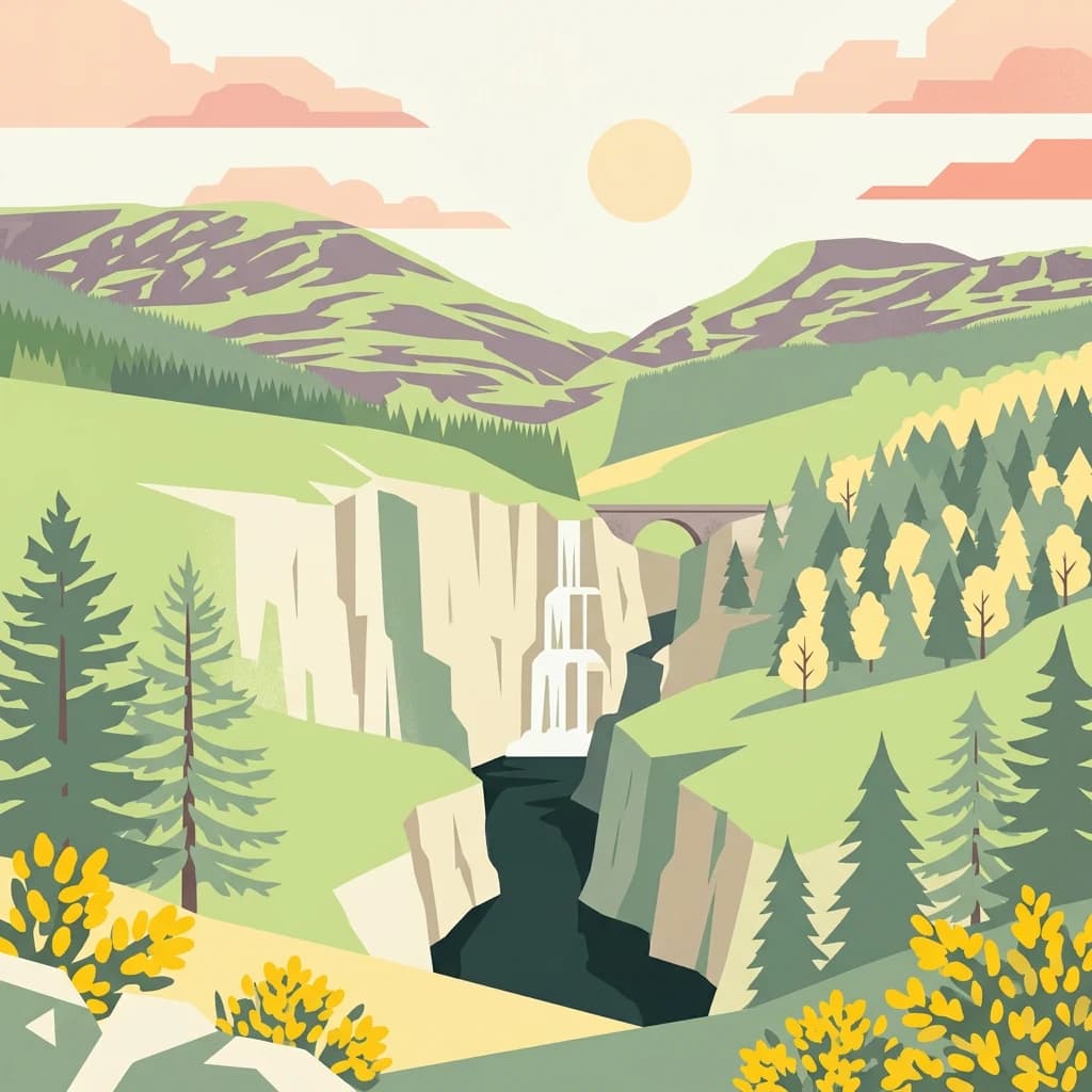
Stylized illustration showing mountains, cliffs, a waterfall, a bridge, and forested areas

Scotland's largest national park with arctic-alpine mountain terrain and ancient Caledonian forest

Cairngorms National Park

Cairngorms National Park is a vast protected landscape in northeast Scotland, established in 2003 as the second national park in Scotland following Loch Lomond and The Trossachs. Covering 4,528 square kilometres, it is the largest national park in the United Kingdom, encompassing the dramatic Cairngorms mountain range alongside surrounding hill ranges including the Angus Glens and Monadhliath, as well as straths such as Strathspey and upper Deeside. The park spans five council areas: Aberdeenshire, Moray, Highland, Angus, and Perth and Kinross, following a 2010 expansion. Around 18,000 people live within the park boundaries, distributed across communities including Aviemore, Ballater, Braemar, Grantown-on-Spey, Kingussie, Newtonmore and Tomintoul. The park is designated as an IUCN Category V protected landscape, reflecting centuries of human interaction with the environment that have shaped its distinctive semi-natural character.

Location
United Kingdom
Park type
National park
Established
2003
Area
4,528 km²
Cairngorms National Park Atlas

Historical seismic event database filtered by epicentre distance from the park boundary

Recorded Earthquakes and Seismic History Near Cairngorms National Park

Seismic event records associated with Cairngorms National Park are mapped and sorted by calculated epicentre distance to illustrate regional geophysical context. Individual records display factual parameters such as occurrence date, magnitude, focal depth, reported location, relative distance, and direct primary source data.

Sort by
Magnitude
Location

This page describes catalogued earthquakes associated with the park by epicentre location and distance. It does not establish causation, assess current danger, or predict future earthquakes.

No earthquake records match the current filters

Park atlas

Expand your geographic search across global protected areas and conservation zones

Discover More National Parks and Protected Landscapes Beyond Cairngorms

Broaden your geographic exploration from Cairngorms National Park by browsing a wider selection of global protected areas and national park systems. Detailed spatial profiles and atlas data help you compare different natural reserves, regional terrain layouts, and established conservation boundaries.
Watercolor illustration showing mountains, green forests, a loch, and a river in a landscape
National parkScotland
38 km away#1 closest

Southwest

Loch Lomond and The Trossachs National Park: Scotland's National Park Atlas and Protected Landscape

Mapping Scotland's Highland Boundary Fault and diverse natural terrain.

As Scotland's first national park, Loch Lomond and The Trossachs National Park offers a prime example of a protected landscape shaped by significant geological features. This atlas entry highlights its strategic location along the Highland Boundary Fault, which delineates distinct highland and lowland terrains. Users can explore the park's extensive network of lochs, including Loch Lomond, its mountainous Munros, and its native woodland ecosystems, providing a rich geographic context for discovery.

Area
1,865 km²
Established
2002
IUCN
V
Visitors
2.9M annual
Watercolor illustration of Hadrian's Wall stretching across rolling green hills with distant mountains and trees under a sunset sky
National parkNorthumberland
146 km away#2 closest

Southeast

Northumberland National Park: England's Northernmost Protected Landscape and Dark Sky Wilderness

Explore its mapped boundaries, Roman heritage, and remote moorland terrain.

Northumberland National Park protects over 1,050 square kilometers of remote and stunning natural beauty in northern England, bordering Scotland. This page provides a structured overview of its protected landscape, focusing on its geographic context within the county of Northumberland, its designation as a National Park, and its renowned status as Europe's largest Dark Sky Park. Users can discover the park's characteristic moorland terrain, the archaeological significance of Hadrian's Wall, and the vast expanses of Kielder Forest, offering an atlas-level understanding of this unique frontier landscape.

Area
1,050 km²
Established
1956
IUCN
V
Relief
Highland
Watercolor painting showing a lake, green hills, and sky
National parkCumbria
222 km away#3 closest

South

Lake District National Park: Protected Landscape Atlas and Geographic Exploration

Mapped mountain terrain and glacial valleys in Cumbria

Delve into the geography of Lake District National Park, a protected area renowned for its dramatic mountainous terrain, U-shaped glacial valleys, and stunning natural lakes. This atlas perspective highlights the park's unique landscape features, mapped boundaries, and its significance within Cumbria, offering a comprehensive view for geographic discovery.

Area
2,292 km²
Established
1951
IUCN
V
Relief
Mountain
Watercolor painting of green hills, a stream, and grassy areas
National parkNorth Yorkshire
249 km away#4 closest

South

Yorkshire Dales National Park: A Protected Landscape in North Yorkshire

Explore mapped boundaries and distinctive limestone terrain.

Yorkshire Dales National Park offers a rich tapestry of mapped natural landscapes, characterized by its iconic limestone valleys, U-shaped glacial formations, and rolling heather-clad moorlands. Situated within North Yorkshire, this protected area showcases a unique karst geology, evident in features like Malham Cove and extensive cave systems. The park's traditional dry-stone walls and working farms contribute to a living cultural landscape, making it a prime destination for atlas-driven geographic discovery and understanding regional terrain.

Area
2,178 km²
Established
1954
IUCN
V
Relief
Mountain
Watercolor illustration showing rolling hills, green vegetation, and a pale sky
National parkNorth Yorkshire
About 296 km away#5 closest

Southeast

North York Moors National Park: Explore its Protected Landscape and Geography

Discover mapped moorland, dales, and coastlines.

The North York Moors National Park is a vital protected landscape in North Yorkshire, celebrated for its extensive heather moorland and distinctive deeply incised dales. This page provides an atlas-style exploration of the park's geography, highlighting its unique terrain, mapped boundaries, and its integral role within the regional landscape context. Understand the diverse natural features that define this iconic national park, from the upland plateau to the dramatic Jurassic coast.

Area
1,430 km²
Established
1952
IUCN
V
Relief
Upland
Watercolor illustration of a mountainous landscape with a lake and forests
National parkCounty Donegal
About 305 km away#6 closest

Southwest

Glenveagh National Park: A Protected Landscape in the Heart of County Donegal

Mapped geography and natural terrain for Ireland's national park.

Delve into the geographic specifics of Glenveagh National Park, a protected area situated in County Donegal. This section provides detailed information on its mapped boundaries and regional landscape context. Understand how this national park fits within the natural geography of Ulster, offering a structured atlas view for detailed exploration of its unique terrain and protected status.

Area
169.58 km²
Established
1986
IUCN
II
Relief
Mixed relief
National parkUnited Kingdom
364 km away#7 closest

South

Peak District National Park: Explore Protected Landscape and Regional Geography

Mapped boundaries and natural terrain context for this UK national park.

Investigate the Peak District National Park, a cornerstone of the United Kingdom's protected natural areas. This MoriAtlas entry provides essential details on its geographic scope, mapped boundaries, and landscape characteristics. Engage with structured data to understand how this national park fits into the atlas of the United Kingdom, supporting detailed geographic and protected-area discovery for researchers and explorers.

Area
1,440 km²
Established
1951
IUCN
V
Visitors
13M annual
Watercolor illustration of rolling mountains and green valleys with distant peaks
National parkWales
384 km away#8 closest

South

Snowdonia National Park: Protected Landscape and Map Exploration in North Wales

Mountain terrain, glacial lakes, and regional geography.

Snowdonia National Park offers a profound exploration of mountainous protected landscapes in North Wales. This page details the park's mapped boundaries, revealing a terrain shaped by glaciation, featuring dramatic peaks like Snowdon, steep valleys, and pristine glacial lakes. Understand its geographic identity within the United Kingdom and how its protected status contributes to the regional landscape context, providing a unique focus for atlas-based discovery.

Area
2,142 km²
Established
1951
IUCN
V
Relief
Mountain
MoriAtlas Explorer

Continue Exploring Cairngorms National Park's Geographic Context and Protected Lands

Delve deeper into the atlas of Cairngorms National Park by examining its specific geographic features and the extent of its protected boundaries. Understanding this park's role within Scotland's natural landscape offers valuable context for exploring other protected areas and mapping regional terrain. Continue your discovery of its unique environment and its place in the UK's geography.

Global natural geography