Mori Atlas logo
Nearby park discovery

Mapping regional park boundaries and surrounding protected land landscapes

National Parks and Protected Areas Near Channel Islands National Park, California

Explore the geographic distribution of protected areas located in the vicinity of Channel Islands National Park. This regional atlas view provides context for the surrounding landscapes, mapped park boundaries, and terrain features across coastal California. Gain insight into the spatial relationship between individual protected sites and the wider ecological geography of the region.

Related tags

IslandsMarine EcosystemsEndemic SpeciesArchaeological SitesSea Caves

A rugged archipelago of five islands protecting endemic species and 13,000 years of human history off the coast of Southern California

Channel Islands National Park

Channel Islands National Park encompasses five of the eight Channel Islands off the Southern California coast, creating a unique protected archipelago that lies just miles from the densely populated mainland yet feels worlds apart. The park spans approximately 249,561 acres, with roughly half extending beneath the ocean surface, making it one of the most maritime-dominated national parks in the United States. The five islands within the park include San Miguel, Santa Rosa, Anacapa, Santa Barbara, and Santa Cruz, each offering distinct landscapes ranging from volcanic peaks and sea cliffs to sheltered coves and grassy hillsides. Established in 1980, the park emerged from earlier designations including a 1938 national monument for Anacapa and Santa Barbara islands, and today represents one of California most significant ecological preserves. The islands hold extraordinary significance for understanding both natural history and human presence in the Americas. Archaeological evidence reveals continuous human occupation dating back 8,000 to 13,000 years, with artifacts representing some of the oldest known sites in North America. The islands were once home to thousands of Chumash people, whose sophisticated maritime culture developed across centuries of inhabiting this island environment. European explorer Juan Rodríguez Cabrillo first documented the islands in 1542, beginning a new chapter in their history. The park protects not only terrestrial environments but also the surrounding marine waters through its proximity to the Channel Islands National Marine Sanctuary.

Location
United States of America
Park type
National park
Established
1980
Area
1,009.9 km²
Channel Islands National Park Protected Area
Regional park map

See the ranked park cluster in its geographic setting

Nearby parks around Channel Islands National Park

This regional map shows the same 20 nearby parks ranked below around Channel Islands National Park. Select a ranked marker to highlight that park’s boundary where boundary data is available.
Reference park: Channel Islands National ParkRanked nearby parkSelected boundary: Channel Islands National Park20 nearby parks shown
20 nearby parks

Analyze surrounding regional park geography and protected landscape separation metrics

Ranked Parks and Protected Areas Geographically Near Channel Islands National Park

Browsing parks near Channel Islands National Park reveals structured distance rankings and surrounding protected landscapes across the region. Evaluating these recorded environmental characteristics provides valuable geographic context for comparative conservation analysis.
Marine protected areaCalifornia
Park boundaries overlap#1 closest

West

Channel Islands National Marine Sanctuary Marine Protected Area Map and Atlas

Southern California marine habitat and island topography

Channel Islands National Marine Sanctuary protects 1,470 square miles of diverse marine environment near the California coast. This sanctuary guards vital kelp forests and deep seafloor ecosystems while preserving deep water archaeological sites and the biological legacy of the Northern Channel Islands.

Area
3,807 km²
Established
1980
IUCN
V
Relief
Lowland
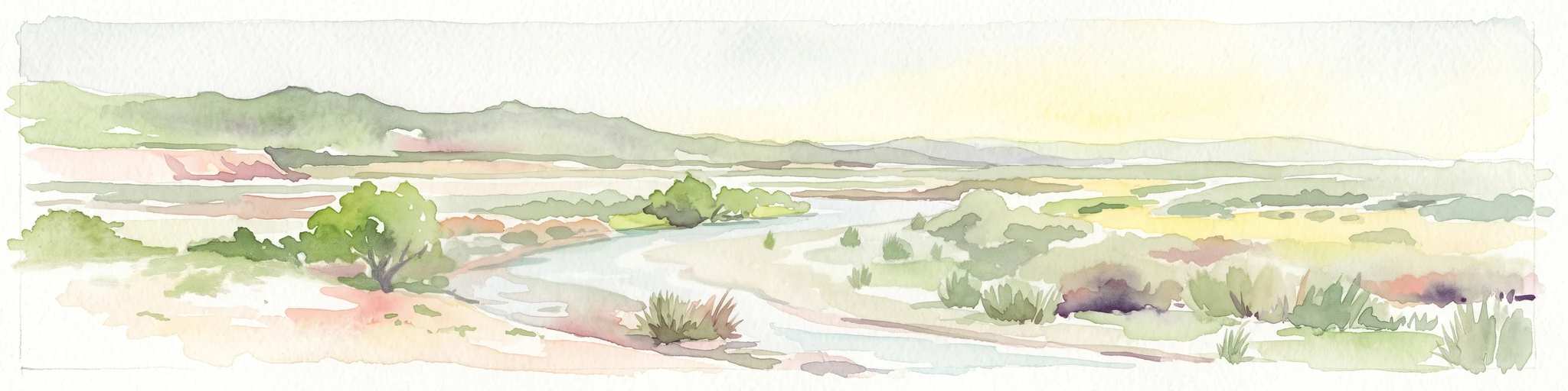
A horizontal watercolor painting depicting a wide, winding river flowing through a coastal valley with rolling hills in the background and sparse green vegetation in the foreground.
Marine protected areaCalifornia
17 km away#2 closest

West

Chumash Heritage National Marine Sanctuary: California Marine Protected Area Atlas

Mapping coastal transition zones and submarine seafloor features

Spanning over 4,500 square miles off the Central Coast of California, the Chumash Heritage National Marine Sanctuary represents a critical ecological intersection between northern and southern marine species. The sanctuary includes dramatic underwater terrain like Arguello Canyon, Rodriguez Seamount, and the Santa Lucia Bank, creating a complex habitat that sustains kelp forests and diverse maritime resources.

Area
11,770 km²
Established
2024
IUCN
V
Relief
Mixed relief
Watercolor painting of a mountain landscape with forested foothills and a valley in the foreground.
Protected landscapeCalifornia
21 km away#3 closest

Northwest

Los Padres National Forest: Geography and Protected Landscape Map of Central California

Extensive wilderness corridors and high mountain ridges

Spanning from the Big Sur coastline to the interior ranges of the Santa Lucia and San Rafael mountains, Los Padres National Forest represents a significant protected area in California. The region contains deep gorges, forest-covered canyons, and high-altitude pine ridges that provide essential habitat and support major river headwaters.

Area
7,700 km²
Established
1936
Relief
Mountain
Climate
Mediterranean
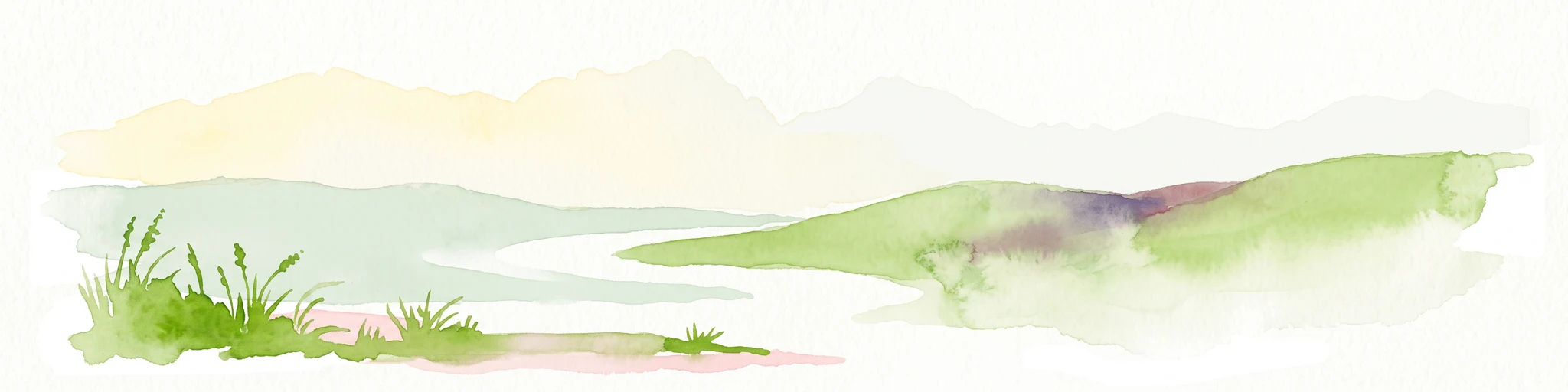
A watercolor illustration of rolling green hills, a small shoreline, and patches of grass against a white background.
Protected landscapeCalifornia
22 km away#4 closest

East

Santa Monica Mountains National Recreation Area: Protected Landscape and Regional Geography

Exploring the ecological and cultural tapestry of Southern California's coastal mountains.

Santa Monica Mountains National Recreation Area comprises a complex array of parks and preserves that protect the unique Mediterranean climate of Southern California. The terrain showcases rugged ridgelines, deeply carved canyons, and vital coastal habitats. As a significant urban protected area, it offers an essential look at how biodiversity, human history, and regional geography coexist within one of the most populated zones in the United States.

Area
638 km²
Established
1978
IUCN
V
Visitors
795.2K annual
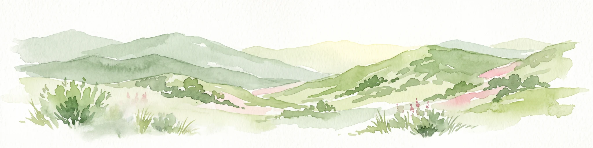
A soft, painterly watercolor illustration depicting layered green mountain ridges and rolling foothills under a bright, open sky.
Protected landscapeCalifornia
59 km away#5 closest

East

Angeles National Forest: Mapped Protected Landscapes and Geographic Terrain in California

Mountain wilderness and Mediterranean watershed geography

Spanning the San Gabriel and Sierra Pelona ranges, Angeles National Forest serves as a dramatic ecological transition zone. This analysis of its protected landscape focuses on the interaction between steep canyons, high peaks, and the distinct chaparral and conifer zones that shape California geography.

Area
2,652.26 km²
Established
1908
Relief
Mountain
Climate
Mediterranean
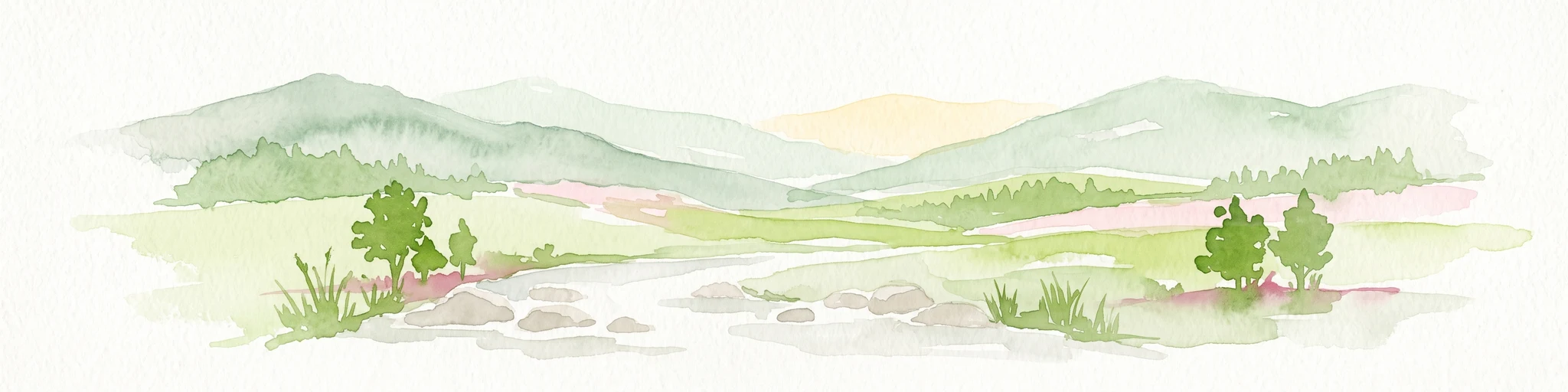
Watercolor painting of a mountain range with a winding stream, small trees, and grassy foreground on a white background.
Wildlife reserveCalifornia
About 64 km away#6 closest

North

Matilija Wilderness: A High Elevation Protected Landscape in the Santa Ynez Mountains

Rugged canyon geography and critical California condor habitat

Spanning from deep canyon bottoms to the high rocky ridges of Monte Arido, Matilija Wilderness represents a significant protected unit within California. The area encompasses a dense network of riparian habitats along Matilija Creek, forming a vital ecological corridor for wildlife and preserving the rugged terrain of the southern Santa Ynez Mountains.

Area
118.2 km²
Established
1992
IUCN
Ib
Relief
Mountain
Wildlife reserveSan Luis Obispo County
122 km away#7 closest

Northwest

Garcia Wilderness: Mapped Boundaries and Geographic Identity in San Luis Obispo County

Studying the Santa Lucia Range ridge and forest ecosystems

Located in San Luis Obispo County, Garcia Wilderness encompasses 14,100 acres of protected coastal mountains. Its topography features a prominent east-west ridge system that dictates local drainage patterns and vegetative shifts, ranging from lower-slope chaparral to dense oak forests. This area represents a vital segment of the federal conservation efforts established to protect the central California landscape.

Area
57 km²
Established
1992
IUCN
Ib
Relief
Mountain
Watercolor painting of a panoramic mountain landscape with stylized pine trees and soft green meadows.
Protected landscapeCalifornia
140 km away#8 closest

North

Sequoia National Forest: Protected Sierra Nevada Geography and Mountain Terrain

A vast protected landscape spanning 1.1 million acres in California

Spanning Tulare, Kern, and Fresno counties, Sequoia National Forest preserves iconic giant sequoia groves across multiple river watersheds. The terrain features vertical relief exceeding 11,000 feet, showcasing a range of ecosystems from chaparral slopes and coniferous forests to glacial cirques and granite spires located within the southern Sierra Nevada range.

Area
4,829.17 km²
Established
1908
Relief
Mountain
Climate
Mediterranean
Watercolor painting of a mountain landscape with rolling green hills and small evergreen trees, with soft purple mountain silhouettes in the distance.
Protected landscapeCalifornia
146 km away#9 closest

East

San Bernardino National Forest: Geography and Protected Landscape Atlas

Transverse and Peninsular mountain ranges in California

Spanning over 820,000 acres, San Bernardino National Forest offers a look at one of Southern California's most significant protected landscapes. The forest features seven wilderness areas and a dramatic range of elevation, moving from arid chaparral to old-growth mixed conifer forests. Our geographic mapping traces the unique structure of four intersecting mountain ranges, detailing the terrain from deep canyons to high alpine peaks.

Area
3,333.87 km²
Established
1907
Relief
Mountain
Climate
Mediterranean
Wildlife reserveKern County
173 km away#10 closest

Northeast

Kiavah Wilderness: Geographic Overview of the Scodie Mountains Plateau

Protected desert wilderness in Kern County, California

Kiavah Wilderness provides a vital protected landscape in Kern County, defined by the Scodie Mountains and a dramatic escarpment above the Mojave Desert floor. Known for its rare pinyon-juniper woodlands and seasonal springs, this wilderness area preserves the complex geography linking the southern Sierra Nevada to the broader Mojave basin.

Area
357.3 km²
Established
1994
IUCN
Ib
Relief
Mountain
A soft watercolor painting of a shoreline with gentle green hills and pale purple water against a white background.
Marine protected areaCalifornia
175 km away#11 closest

Northwest

Monterey Bay National Marine Sanctuary: California Marine Protected Area and Coastal Atlas

Mapping deep submarine canyons and expansive Pacific coastal ecosystems.

Monterey Bay National Marine Sanctuary represents one of the most biologically significant marine protected areas in the United States. Spanning 276 miles of California shoreline, the sanctuary encompasses varied aquatic terrain including towering kelp forests, rocky reefs, and the massive Monterey Submarine Canyon. This protected marine landscape serves as a crucial region for oceanic research and environmental conservation.

Area
15,780 km²
Established
1992
Relief
Mixed relief
Climate
Mediterranean
A watercolor illustration showing a soft-focused desert landscape with gentle rolling hills, sparse desert vegetation, and muted earthy tones.
Wildlife reserveKern County
183 km away#12 closest

Northeast

El Paso Mountains Wilderness: Geological Atlas and Protected Landscape Overview

Mojave Desert geography within Kern County, California

Explore the volcanic structure of El Paso Mountains Wilderness, a desert landscape dominated by Black Mountain, red buttes, and narrow canyons. This atlas entry details the protected boundary and geological features of this Mojave Desert wildlife reserve, highlighting the intersection of volcanic badlands and ancient archaeological sites.

Area
96.2 km²
Established
1994
IUCN
Ib
Relief
Mountain
A soft watercolor painting of rolling hills and mountain ridges, featuring shades of green, yellow, and faint pink on a white background.
Wildlife reserveCalifornia
183 km away#13 closest

Northeast

Domeland Wilderness: Granite Spires and Kern Plateau Geography in the Southern Sierra Nevada

A protected wilderness landscape on the California high plateau

Spanning over 130,000 acres, Domeland Wilderness offers a deep look into the geological transition zone of the southern Sierra Nevada. The protected landscape is characterized by its iconic granite domes and spires, vast summer range meadows for deer, and the winding course of the Wild and Scenic South Fork Kern River. This atlas entry details the rugged terrain, ridge boundaries, and ecological diversity found across this lightly visited high-altitude wilderness.

Area
526.42 km²
Established
1964
IUCN
Ib
Relief
Mountain
A horizontal watercolor painting depicting a mountain range in the background with rolling hills and a winding river or stream in the foreground.
Protected landscapeCalifornia
224 km away#14 closest

North

Inyo National Forest: An Atlas of Protected Landscapes and Sierra Nevada Geography

High altitude wilderness and volcanic terrain in Eastern California

Spanning from the arid Owens Valley floor to the 14,000 foot crest of the Sierra Nevada, Inyo National Forest remains a cornerstone of the American West. This protected landscape contains the Ancient Bristlecone Pine Forest, Mount Whitney, and the Mono Inyo volcanic chain, providing a dense geographic record of glacial, tectonic, and ecological diversity across a vast managed corridor.

Area
7,702.71 km²
Established
1907
IUCN
Ib
Relief
Mountain
National parkCalifornia
232 km away#15 closest

North

Sequoia National Park National Park: Geographic Identity and Protected Landscape Atlas

Explore mapped boundaries and the terrain of this California protected area.

Gain a structured understanding of Sequoia National Park as a protected landscape, focusing on its mapped geographic boundaries and its context within California. This entry provides foundational data for exploring the park's natural terrain and its role in a broader atlas of conservation lands, ideal for users seeking detailed geographic information.

Area
1,635.19 km²
Established
1890
IUCN
II
Visitors
1.2M annual
Watercolor painting of a mountain landscape with trees in the midground and a simple river or valley floor in the foreground, executed in a soft, light-toned palette.
Protected areaUnited States of America
About 242 km away#16 closest

Northeast

Inyo Mountains Wilderness: Protected Landscapes and Geographic Features in California

A study of fault block terrain and desert mountain ecosystems.

The Inyo Mountains Wilderness serves as a dramatic ecological bridge between the Owens Valley and Saline Valley. This expansive protected area offers a look into late Proterozoic to Cambrian geology and distinct vertical plant zonation. Mapping the range reveals a network of canyons, ridges, and slopes that sustain endemic biodiversity and ancient bristlecone pine stands within the Great Basin periphery.

Area
806.17 km²
Relief
Mountain
Climate
Arid
Access
Remote access
National parkCalifornia
242 km away#17 closest

East

Joshua Tree National Park: Mapped Protected Landscape and Regional Geography in California

Explore unique park boundaries and natural terrain across Southern California.

Joshua Tree National Park is a vital protected area in California, known for its distinctive natural landscape and geographic setting. This entry provides detailed information on the park's mapped boundaries and the unique terrain it encompasses, serving as a key point for atlas exploration of protected lands. Understand the regional geography and the specific character of this significant national park.

Area
3,217.9 km²
Established
1994
IUCN
II
Visitors
3.1M annual
National parkCalifornia
261 km away#18 closest

Northeast

Death Valley National Park: Exploring California's Mapped Protected Landscape

View the geographic boundaries and desert terrain.

Access a detailed atlas perspective of Death Valley National Park, a protected national park situated in California. Understand the park's distinct mapped boundaries and its role within the regional geography. This resource highlights the unique desert landscape, offering focused insights into its protected-area identity and natural terrain for geographic discovery.

Area
13,848.4 km²
Established
1994
IUCN
II
Visitors
1.1M annual
A watercolor painting showing a panoramic view of mountain ranges, a treeline, and a calm body of water in the foreground.
Wildlife reserveCalifornia
263 km away#19 closest

North

John Muir Wilderness: Sierra Nevada Protected Landscape and High Mountain Geography

California wilderness area with glacial basins and granite peaks

John Muir Wilderness represents one of the largest protected high-elevation areas in the contiguous United States. Spanning the Sierra Nevada crest, its granite terrain is sculpted by Pleistocene glaciation into sharp arêtes, deep canyons, and hundreds of alpine lakes. This wilderness serves as a vital geographic anchor for mountain ecosystems, offering an extensive look at the high-country landscape of eastern California.

Area
2,641.76 km²
Established
1964
IUCN
Ib
Relief
Mountain
National parkCalifornia
265 km away#20 closest

North

Kings Canyon National Park National Park: California Protected Landscape & Geography Atlas

Mapped park boundaries and regional natural context.

Kings Canyon National Park stands as a key protected national park within California, offering a specific focus for geographic understanding and atlas-based exploration. This page details the park's mapped boundaries and its integration into the broader regional geography of California. For users interested in the distribution of protected lands and the mapping of natural landscapes, Kings Canyon National Park provides a crucial point of study within the comprehensive park atlas.

Area
1,869.25 km²
Established
1890
IUCN
II
Visitors
641K annual
Distance methodology

Geographic measurements, not driving distances

How nearby park distances are calculated

Distances use park boundaries whenever the available geometry allows it. When one or both boundaries are missing, the mapped park locations provide a clearly labelled estimate. Every value represents straight-line geographic separation and does not use roads or routing.

Boundary distance

Calculated between the nearest points of both park boundaries.

Location-to-boundary estimate

Estimated from one mapped park location to the nearest boundary of the other park.

Mapped-location estimate

Estimated between the mapped locations of both parks.

MoriAtlas Explorer

Continue Exploring Channel Islands National Park's Geography and Protected Boundaries

Delve deeper into the unique geographic profile of Channel Islands National Park. Understand how its protected landscape fits within California's regional geography and explore its mapped terrain for comprehensive atlas discovery. This entry provides foundational context for appreciating the park's natural identity and its importance as a conservation landscape.