

Mori Atlas logo
National parkCottan-Bimbang National Park

Discover the mapped boundaries and regional setting of this Australian national park.

Cottan-Bimbang National Park: Protected Landscape Identity and Geographic Context in New South Wales

Cottan-Bimbang National Park stands as a significant protected natural area within New South Wales, Australia. This page offers an in-depth exploration of its protected landscape, providing crucial context for understanding its geographic placement and boundaries. Delve into the mapped terrain and regional setting to appreciate the unique identity of Cottan-Bimbang National Park as part of Australia's network of conservation lands.

Old-growth forestTemperate rainforestEastern escarpmentKoala habitatWilderness protectionNorthern Tablelands

Cottan-Bimbang National Park

National park

Park overview

Structured park overview, official facts, and landscape profile for Cottan-Bimbang National Park

Cottan-Bimbang National Park park facts, protected area profile, and essential visitor context
Review the core facts for Cottan-Bimbang National Park, including designation, size, terrain, visitor scale, habitats, and operating context in one park-focused overview.

About Cottan-Bimbang National Park

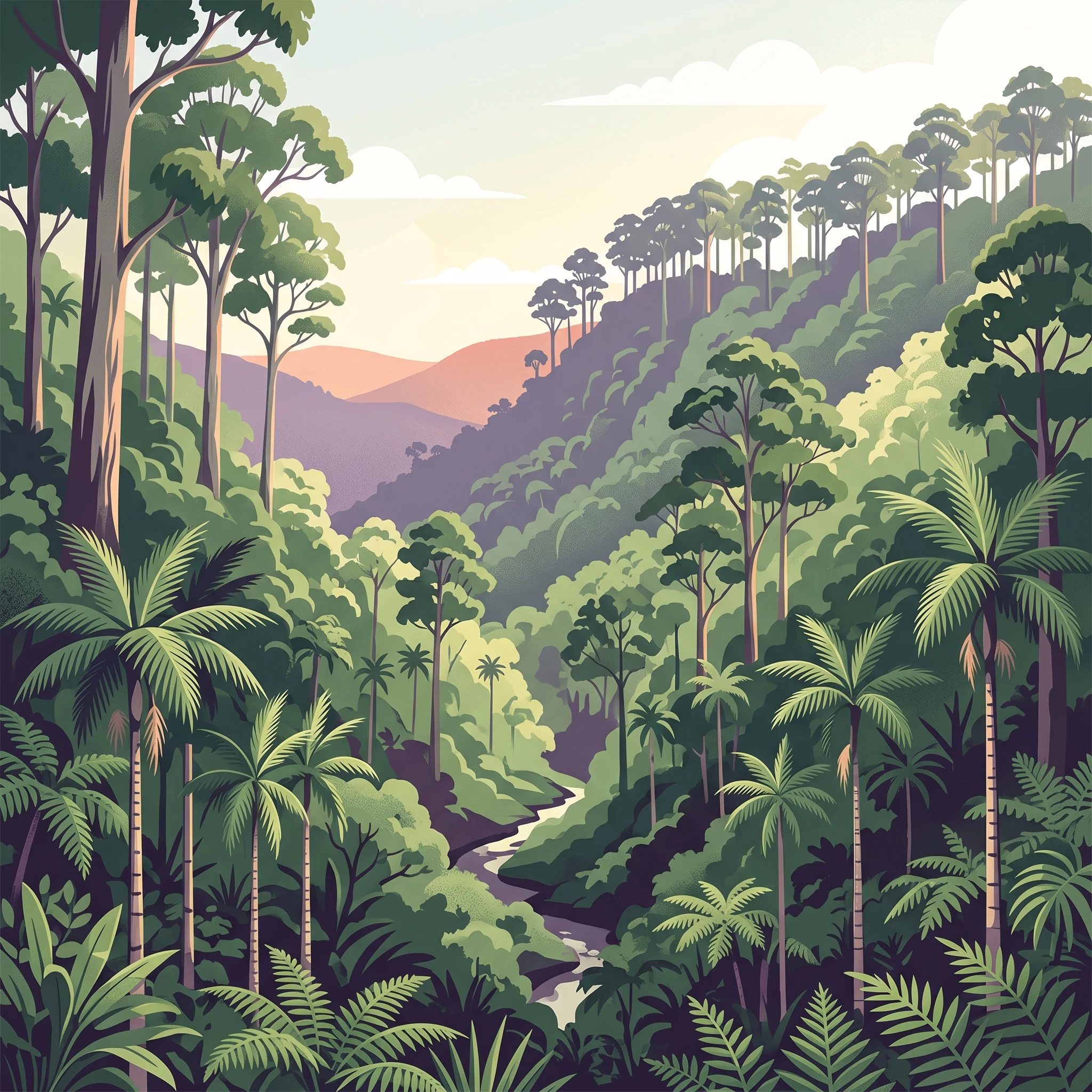
Cottan-Bimbang National Park represents one of the more significant wilderness protection areas in the Northern Tablelands of New South Wales, preserving a substantial block of relatively unmodified forest landscape in a region where extensive land clearing has occurred. The park occupies a strategic position on the eastern escarpment of the Great Dividing Range, where elevation changes create diverse microclimates and vegetation communities. Tall old-growth eucalypts dominate the higher ridgelines and exposed slopes, while dense temperate rainforest fills the protected gullies and lower valley floors where moisture accumulates. This mosaic of forest types supports a correspondingly diverse community of wildlife species, from arboreal marsupials like koalas and yellow-bellied gliders to ground-dwelling amphibians in the moist rainforest understory. The park provides a rare example of intact wilderness character in northern New South Wales, with visitor facilities concentrated at a few key locations including Stockyard Creek along the Oxley Highway and the Myrtle Scrub Road circuit through the western sector.

Quick facts and research context for Cottan-Bimbang National Park

Cottan-Bimbang National Park spans 269 square kilometres of protected wilderness on the eastern escarpment in northern New South Wales. The park was formally established in 1999 after previously existing as state forest land. The Oxley Highway passes through the park, providing vehicle access to several key visitor areas including Stockyard Creek picnic area and the Myrtle Scrub Road circuit in the western section. The park protects a significant belt of old-growth eucalypt forest and temperate rainforest, with the walking stick palm (Linospadix monostachya) giving the park its Aboriginal-derived name. The NSW National Parks and Wildlife Service manages the area as a Category II protected area under the IUCN classification system.

Park context

Deeper park guide and search-rich context for Cottan-Bimbang National Park

Cottan-Bimbang National Park history, landscape, wildlife, and travel context
Explore Cottan-Bimbang National Park through its history, landscape character, ecosystems, wildlife, conservation priorities, cultural context, and seasonal travel timing in a structured park guide built for atlas discovery and search intent.

Why Cottan-Bimbang National Park stands out

Cottan-Bimbang is best known for its extensive tracts of tall old-growth eucalypt forest and the presence of temperate rainforests in its deeper gullies and sheltered valleys. The park protects a notable population of yellow-bellied gliders and koalas, along with several threatened frog species. Its dramatic eastern escarpment setting creates a visually striking landscape of steep forested slopes and ridgelines. The walking stick palm, which gives the park its name, grows abundantly in the park's rainforest understory and remains a defining botanical feature of the area.

Cottan-Bimbang National Park history and protected-area timeline

Cottan-Bimbang National Park was officially established in 1999 when the former state forest land was redesignated under national park protection. The transition from state forest to national park reflected a growing recognition of the area's ecological significance and wilderness values, particularly the old-growth forest communities and the diverse wildlife populations they support. Prior to European settlement, the land was part of the traditional territory of Aboriginal peoples, and the name Cottan-Bimbang itself derives from local Indigenous language, specifically referring to the walking stick palm that grows throughout the area's rainforests. The establishment of the park provided formal protection for landscapes that had previously been subject to forestry operations, ensuring the preservation of old-growth forest stands and the ecological processes they support.

Cottan-Bimbang National Park landscape and geographic character

The landscape of Cottan-Bimbang National Park is defined by its position on the eastern escarpment of the Great Dividing Range, where the terrain drops away steeply toward the coastal plain. The park features a rugged topography of steep ridges, deep V-shaped valleys, and sheltered gullies that create strong variations in aspect and microclimate across relatively short distances. The highest points of the park lie on the main ridgelines, while the drainage lines and lower slopes support the dense temperate rainforest communities. Rock exposures and cliff bands occur in some areas, adding visual complexity to the forest landscape. The combination of elevation, aspect, and moisture availability produces a vegetation pattern where tall eucalypt forest dominates the ridges and upper slopes while rainforest occupies the more sheltered positions below.

Cottan-Bimbang National Park ecosystems, habitats, and plant life

The ecological character of Cottan-Bimbang National Park is defined by the interaction between tall eucalypt forest and temperate rainforest, creating a complex mosaic of vegetation types across the park's elevation range. The old-growth eucalypt forests contain large, mature trees that have developed over centuries, providing critical habitat resources for arboreal wildlife. The rainforest gullies support a distinct suite of plant species including the walking stick palm (Linospadix monostachya), which gives the park its name, along with ferns, epiphytes, and moisture-loving understory plants. The park's position on the eastern escarpment creates a transition zone between different climatic influences, supporting species with different environmental tolerances. This ecological diversity makes the park significant for biodiversity conservation in the northern New South Wales region.

Cottan-Bimbang National Park wildlife and species highlights

Cottan-Bimbang National Park supports several notable wildlife species, with the yellow-bellied glider (Petaurus australis) and koala (Phascolarctos cinereus) being among the most recognizable inhabitants of the tall eucalypt forests. These arboreal marsupials rely on the mature trees and hollows found in old-growth forest for shelter and feeding. The park also contains populations of threatened frog species that inhabit the moist rainforest environments and the creek systems that drain the escarpment. The diverse forest structure provides foraging habitat and movement corridors for wildlife across the landscape. The presence of both eucalypt forest and rainforest creates a variety of microhabitats that support different species assemblages, from canopy-dwelling mammals to ground-dwelling amphibians in the leaf litter.

Cottan-Bimbang National Park conservation status and protection priorities

Cottan-Bimbang National Park plays an important role in conserving old-growth forest and temperate rainforest ecosystems in northern New South Wales. As a Category II protected area under the IUCN system, the park is managed primarily for ecosystem preservation and wilderness protection. The old-growth eucalypt forests represent increasingly rare habitat in a region where extensive clearing has occurred for agricultural development. The park also protects catchment areas that feed into local river systems, providing downstream water quality benefits. The presence of threatened species including frogs and arboreal marsupials adds conservation significance to the area. Invasive blackberry species currently pose a management challenge within the park, requiring ongoing control efforts to protect native vegetation communities.

Cottan-Bimbang National Park cultural meaning and human context

The name Cottan-Bimbang derives from the local Aboriginal word for the walking stick palm (Linospadix monostachya), a palm species that grows abundantly in the park's temperate rainforests. This naming connection reflects the long history of Aboriginal occupation and use of the landscape prior to European settlement. The area would have provided traditional foods, materials, and cultural resources for Indigenous peoples. The transition of the land from state forest to national park in 1999 marked a change in management philosophy toward preservation rather than timber production, aligning with broader recognition of the area's natural and cultural values.

Top sights and standout views in Cottan-Bimbang National Park

The old-growth eucalypt forests of Cottan-Bimbang represent some of the most significant intact forest remaining in the Northern Tablelands region. The park's rainforests, though limited in extent, support the distinctive walking stick palm that defines the park's identity and gives it its name. Visitor access via the Oxley Highway allows exploration of key sites like the Stockyard Creek picnic area where rainforest grows alongside the creek line. The mix of tall eucalypt forest and temperate rainforest in such close proximity creates a distinctive visual and ecological character that distinguishes this park from other protected areas in the region.

Best time to visit Cottan-Bimbang National Park

The park can be visited throughout the year, with autumn and winter generally offering comfortable conditions for bushwalking and forest exploration. Summer months can bring warm temperatures and occasional storms to the escarpment, while spring brings flowering of eucalypts and increased wildlife activity. The forest environment is attractive in all seasons, though visitors should be prepared for variable weather conditions typical of elevated terrain. The availability of basic facilities at Stockyard Creek and camping areas at Maxwells Flat provides options for both day visitors and those wishing to stay overnight.

Park location guide

Geography guide, regional context, and park location map for Cottan-Bimbang National Park

Cottan-Bimbang National Park park geography, regions, and map view in Australia
Understand where Cottan-Bimbang National Park sits in Australia through a broader geographic reading of the surrounding landscape, nearby location context, and its mapped position within the national park landscape.

How Cottan-Bimbang National Park fits into Australia

Australia is a constitutional monarchy and federal parliamentary democracy comprising six states and ten territories. With a population of nearly 28 million, it is one of the world's most urbanised countries, with most people concentrated on the eastern seaboard. The country has a high Human Development Index and is known for its cultural diversity, ancient Aboriginal heritage, and unique wildlife.

Wider geography shaping Cottan-Bimbang National Park in Australia

Australia occupies the entire Australian continent, the island of Tasmania, and numerous smaller islands. It is the world's flattest and driest inhabited continent, featuring vast deserts in the interior (the Outback), tropical rainforests along the eastern coast, and a coastline bordering the Indian and Pacific Oceans.

Map view of Cottan-Bimbang National Park

Use this park location map to pinpoint Cottan-Bimbang National Park in Australia, understand its exact geographic position, and read its mapped placement within the surrounding landscape more clearly.

Pigeon | © OpenStreetMap contributors

Location context for Cottan-Bimbang National Park

New South Wales
Park atlas

Compare forest reserves, temperate rainforests, and escarpment landscapes across New South Wales

Explore Other National Parks and Protected Areas Near Cottan-Bimbang National Park
Discover national parks and protected areas near Cottan-Bimbang National Park, showcasing related old-growth eucalypt forests, rugged escarpment terrain, and temperate rainforests across New South Wales. Compare these conservation landscapes to expand your atlas knowledge of Australia's diverse natural areas and their regional context.
National parkNew South Wales

Werrikimbe National Park National Park: Mapped Boundaries and Protected Landscape

Explore the geographic setting and regional context within New South Wales.

Werrikimbe National Park represents a critical element within the geographic tapestry of New South Wales, Australia. As a national park, it signifies a protected land offering valuable insights into regional terrain and landscape characteristics. Users exploring the MoriAtlas can investigate its mapped features, understand its protected status, and place it within the wider context of Australian natural geography and conservation landscapes.

Area
333 km²
Established
1975
IUCN
Ib
Relief
Mountain
National parkNew South Wales

Biriwal Bulga National Park: Protected Landscape and Geographic Context within New South Wales

Explore mapped boundaries and the national park's regional setting.

Biriwal Bulga National Park represents a significant protected area within New South Wales, Australia, offering crucial insights into the region's natural landscape geography. This dedicated page details the park's specific identity as a national park, focusing on its mapped geographic boundaries and its contribution to the broader atlas of protected lands. It is designed for users who require structured information about individual protected areas and their precise location and landscape context.

Area
65.28 km²
Established
1999
IUCN
II
Relief
Lowland
National parkNew South Wales

Mummel Gulf National Park: New South Wales Protected Area & Mapped Gorge Landscape

Rugged escarpment terrain with diverse forest ecosystems.

Mummel Gulf National Park is a protected area in New South Wales, Australia, renowned for its dramatic V-shaped gorge carved by the Mummel River, reaching depths over 400 metres. This rugged escarpment landscape hosts a variety of vegetation communities, including tall open eucalypt, wet sclerophyll, snow gum forests, and subtropical rainforest patches. The park's geography is central to its ecological significance, providing habitat for numerous species and showcasing a distinct natural terrain within the New England region, ideal for geographic exploration.

Area
122 km²
Established
1999
IUCN
II
Relief
Mountain
National parkMid North Coast

Tapin Tops National Park: Protected Landscape in Mid North Coast, Australia

Mapped geographic context and natural terrain discovery.

Tapin Tops National Park is a designated national park offering rich opportunities for geographic and landscape exploration. This detail page provides a structured look at its protected area status and its location within the Mid North Coast region of Australia. Delve into the mapped boundaries and understand the park's specific natural terrain for comprehensive atlas-based discovery.

Area
110 km²
Established
1999
IUCN
II
Relief
Mountain
National parkNew South Wales

Willi Willi National Park: A Protected Mountain Landscape in New South Wales

Explore ancient rainforests and dramatic terrain.

Willi Willi National Park represents a critical protected wilderness area on Australia's North Coast of New South Wales. Its landscape is defined by steep ridges, prominent peaks such as Mount Banda Banda, and ancient temperate rainforests, forming part of the internationally significant Gondwana Rainforests World Heritage Site. This park offers rich geographic context for understanding the diverse terrain and protected natural heritage of the region, making it a key destination for atlas-based discovery.

Area
298.7 km²
Established
1996
IUCN
Ib
Relief
Mountain
National parkNew South Wales

Oxley Wild Rivers National Park: National Park Protected Landscape and Regional Geography

Explore mapped boundaries and natural terrain.

Oxley Wild Rivers National Park is a key protected area in New South Wales, Australia, designated as a national park. This entity provides essential geographic context, allowing for detailed exploration of its mapped boundaries and the surrounding natural landscape. Understand the park's role within the region and its contribution to a broader atlas of protected lands. Discover the specific landscape character and geographic identity that define this Australian national park.

Area
1,452.33 km²
Established
1986
IUCN
Ib
Relief
Mixed relief
National parkNew South Wales

Barakee National Park: New South Wales Protected Landscape Atlas Explorer

Mapped Boundaries and Regional Geography Insights

Barakee National Park is a vital component of New South Wales's protected natural areas, offering a focused point for geographic discovery. This page provides key details on its protected landscape identity and its place within the mapped terrain of the region. Examine the structured data to grasp the park's geographic footprint and understand its significance as a designated national park within Australia.

Area
50.11 km²
Established
1999
IUCN
II
Relief
Mixed relief
National parkNew South Wales

Kumbatine National Park: Protected Landscape and Geographic Context in New South Wales

Explore its mapped terrain and subtropical forest ecosystems.

Kumbatine National Park represents a vital tract of protected subtropical forest and eucalypt bushland within New South Wales' Northern Rivers region. This detail page provides an atlas perspective on the park's geography, featuring the prominent Mount Kippara and the watershed of Glencoe Creek. Understand its unique landscape context and its significance as a preserved natural area in a region marked by extensive land clearing, offering rich details for geographic exploration.

Area
130 km²
Established
1999
IUCN
II
Relief
Mixed relief

Common questions about visiting, size, designation, and location context for Cottan-Bimbang National Park

Cottan-Bimbang National Park FAQs for park facts, access, geography, and protected area context
Find quick answers about Cottan-Bimbang National Park, including protected-area facts, park geography, trail and visitor context, and how the park fits into its surrounding country and regional landscape.
MoriAtlas Explorer

Continue Your Protected Areas Search Across the Global Atlas

Deepen your exploration by continuing the structured search for national parks and protected areas worldwide. Utilize the comprehensive filtering capabilities to compare different conservation landscapes and refine your understanding of global park geography. Discover more about the distribution and characteristics of protected natural areas.

Global natural geography