Mori Atlas logo
Park earthquake history

Examine historical seismic events and distance-linked records within the regional landscape

Recorded Earthquake History and Seismic Catalogue for Dalby Söderskog National Park in Sweden

Review a detailed catalogue of recorded seismic activity associated by epicentre proximity with the geographic boundaries of Dalby Söderskog National Park. This collection provides event-specific data including recorded magnitude, depth, and calculated distance from the park for historical research. All records are sourced from regional geological databases to support the study of local seismic patterns within southern Sweden.

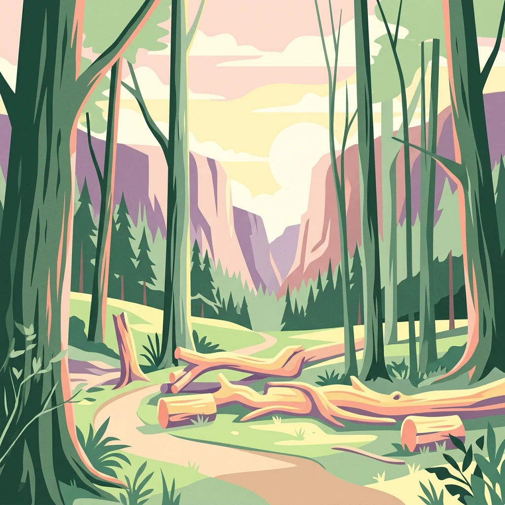
Stylized illustration of a forest path surrounded by tall trees with fallen logs and a mountain backdrop

Sweden's smallest national park with rich deciduous forest and spring wildflowers

Dalby Söderskog National Park

Dalby Söderskog is Sweden's smallest national park, located in the province of Scania (Skåne) in southern Sweden, within Lund Municipality near the village of Dalby. Established in 1918, this compact 36-hectare protected area consists of deciduous broadleaf forest, predominantly composed of elm, ash, and beech trees. The park lies atop limestone and chalk bedrock, creating exceptionally fertile conditions that support a remarkably diverse flora. Though originally believed to be a remnant of ancient primeval forest, historical evidence reveals the area was previously used as meadow land with scattered oak trees before forest succession transformed it into its present state. The park is surrounded by an earth bank of uncertain origin, possibly the ruins of an ancient fortification. A nature reserve, Dalby Norreskog, borders the park to the north, and together these areas form the larger landscape unit known as Dalby hage.

Location
Sweden
Park type
National park
Established
1918
Area
0.4 km²
Dalby Söderskog National Park Atlas

Inspect Dalby Söderskog National Park dates, depths, places, and distances

Review recorded earthquakes around Dalby Söderskog National Park

At just 0.36 km², Dalby Söderskog National Park is a compact Swedish lowland forest and woodland reserve. Earthquake entries appear because of epicentral geography and measured distance, with date, magnitude, depth, place, and source details available for verification; that relationship does not show that an event happened inside the woodland or caused effects there.

Sort by
Magnitude
Location

This page describes catalogued earthquakes associated with the park by epicentre location and distance. It does not establish causation, assess current danger, or predict future earthquakes.

No earthquake records match the current filters

Park atlas

Expand discovery beyond the Dalby Söderskog National Park earthquake catalogue

Find more protected parks after Dalby Söderskog National Park

Dalby Söderskog National Park is a 0.36 km² Swedish lowland forest reserve. The linked park earthquake catalogues have separate spatial evidence and do not imply common woodland conditions, comparable effects, current danger, or predictive meaning.
National parkSweden
36 km away#1 closest

North

Söderåsen National Park: A Protected Ridge Landscape in Southern Sweden's Geography

Mapped protected area with varied terrain and dense forest cover.

Delve into the protected landscape of Söderåsen National Park, a national park in Southern Sweden distinguished by its unique ridge topography, steep slopes, and extensive forests. This site serves as a key point for atlas-based exploration of natural terrain and regional geography, offering a clear view of its mapped boundaries and ecological significance within the Southern Swedish highlands. Understand the character of this protected area and its place in the broader mapped landscape.

Established
2001
IUCN
II
Scope
Terrestrial
A horizontal watercolor painting depicting a soft, light-filled meadow landscape with scattered trees, low vegetation, and patches of water.
Nature reserveCopenhagen
About 47 km away#2 closest

West

Amager Fælled Nature Reserve: Mapping Copenhagen's Distinctive Protected Landscape

Explore pioneer plant habitats and coastal meadow geography

Amager Fælled functions as a 223-hectare nature reserve that borders the urban development of Copenhagen. The landscape offers a study in contrasts, featuring thin drought-prone soils, historical military and landfill substrates, and protected coastal meadow strips. This site remains a vital geographical reference for understanding urban-edge conservation and the long-term layering of human land use.

Area
2.23 km²
Established
1992
Relief
Lowland
Climate
Temperate
Nature reserveGentofte Kommune
About 51 km away#3 closest

West

Brobæk Mose Nature Reserve: Protected Wetland and Glacial Geography in Gentofte Kommune

Mapped wetland habitat and natural terrain analysis.

Brobæk Mose serves as a primary example of a spring-fed wetland within the glacial landscapes of Gentofte Kommune. The area preserves rich fens and developing natural forest, offering a clear view of post-glacial valley geography and protected ecological zones surrounded by the Copenhagen suburban environment.

Established
1988
Water
Major water bodies
A pale watercolor painting depicting a marshy landscape with rolling green hills, tall grasses in the foreground, and a calm body of water, rendered in soft pastel tones.
Protected areaDenmark
About 56 km away#4 closest

West

Smør- og Fedtmosen: Glacial Tunnel Valley and Protected Mire Geography in Denmark

A key hydrological watershed site and managed meadow reserve

Examine the topographic features of Smør- og Fedtmosen, where groundwater-fed mires and dead-ice depressions create a distinct wetland system. This protected area showcases a transition from saturated reed beds to grazed meadows, illustrating the intersection of long-term conservation and the natural geography of a former tunnel valley.

Area
1.5 km²
Established
1943
Relief
Lowland
Scope
Terrestrial
Watercolor illustration of a landscape with green hills, water, and vegetation
National parkSkåne County
57 km away#5 closest

East

Stenshuvud National Park: Discover Skåne County's Distinctive Baltic Headland National Park

Explore broadleaf forests, heathlands, and panoramic coastal geography.

Stenshuvud National Park is a notable national park in Sweden's Skåne County, characterized by a prominent hill that rises 97 meters above the Baltic Sea. This protected landscape offers a rich diversity of habitats within a small area, including dense broadleaf forests, open heathlands, and coastal terrains. Its unique geographic position and varied ecosystems make it a key destination for exploring protected natural areas, mapped terrain, and regional landscape context within the MoriAtlas platform.

Area
3.9 km²
Established
1986
IUCN
II
Relief
Lowland
A watercolor illustration of a serene lakeside landscape with green hills, foliage, and calm water, painted in soft pastel colors.
Protected areaNorth Zealand
About 59 km away#6 closest

West

Furesø Protected Area: Mapping the Deepest Glacial Lake and Wetland Systems of North Zealand

Glacial tunnel valley landscapes and Natura 2000 protected waters.

Spanning deep basins and shallow shorelines, Furesø represents a significant protected freshwater body within the North Zealand region. The surrounding mosaic of peatlands and alder swamps highlights a legacy of glacial activity and ongoing conservation efforts. This area remains a focal point for understanding the interplay between metropolitan geography and preserved natural terrain.

Area
9.41 km²
Relief
Lowland
Climate
Temperate
Access
Easy access
A watercolor illustration of a soft rolling landscape with green forests, gentle hills in shades of yellow and pink, and a winding waterway.
Protected landscapeDenmark
About 70 km away#7 closest

West

Naturpark Mølleåen: A Protected Glacial Landscape and Tunnel Valley Map in Denmark

Glacial landforms and conserved nature corridors near Copenhagen

Naturpark Mølleåen spans fifty square kilometers of protected forests, lake districts, and ice-margin ridges in northern Zealand. This glacial terrain represents a nationally recognized geological area, offering a rare density of tunnel valleys and meltwater channels that serve as an essential ecological refuge within the broader Danish landscape.

Area
50 km²
Established
1942
Relief
Upland
Climate
Temperate
Nature reserveSolrød Kommune
About 72 km away#8 closest

West

Staunings Ø Nature Reserve: Exploring the Coastal Geomorphology of Solrød Kommune

A mapped barrier spit and wetland habitat on the eastern Zealand shoreline.

Staunings Ø functions as a textbook example of a coastal sand bar accretion in the shallow waters of Køge Bugt. This nature reserve protects a vital sequence of dunes, lagoons, and reedbeds that provide a clear view of coastal succession. Located near the urban edge of Solrød Kommune, it serves as a key site for understanding the interaction between natural coastal landforms and maritime environments in eastern Denmark.

Area
0.6 km²
Established
1999
Relief
Lowland
Climate
Temperate
MoriAtlas Explorer

Continue Exploring Dalby Söderskog National Park's Mapped Landscape and Geography

Deepen your understanding of Dalby Söderskog National Park by engaging with its specific geographic context and protected landscape features. Our atlas tools allow for detailed exploration of its mapped boundaries and the unique ecology of its deciduous forest, providing a factual basis for understanding its place within Sweden's protected areas network.

Global natural geography