
Mori Atlas logo
Park earthquake history

A chronological catalogue of seismic events identified by distance from the park landscape

Recorded Earthquake History and Seismic Activity near De Maasduinen National Park in Limburg

Explore a structured collection of historical earthquake data associated by epicentre proximity with the diverse heathland, forest, and dune terrain of De Maasduinen National Park. This resource displays recorded seismic activity, including event dates, magnitudes, and calculated distances from the protected area, providing a factual reference for regional ground movement history. All records are sourced from standardized seismic catalogues to assist in mapping regional geographic patterns.

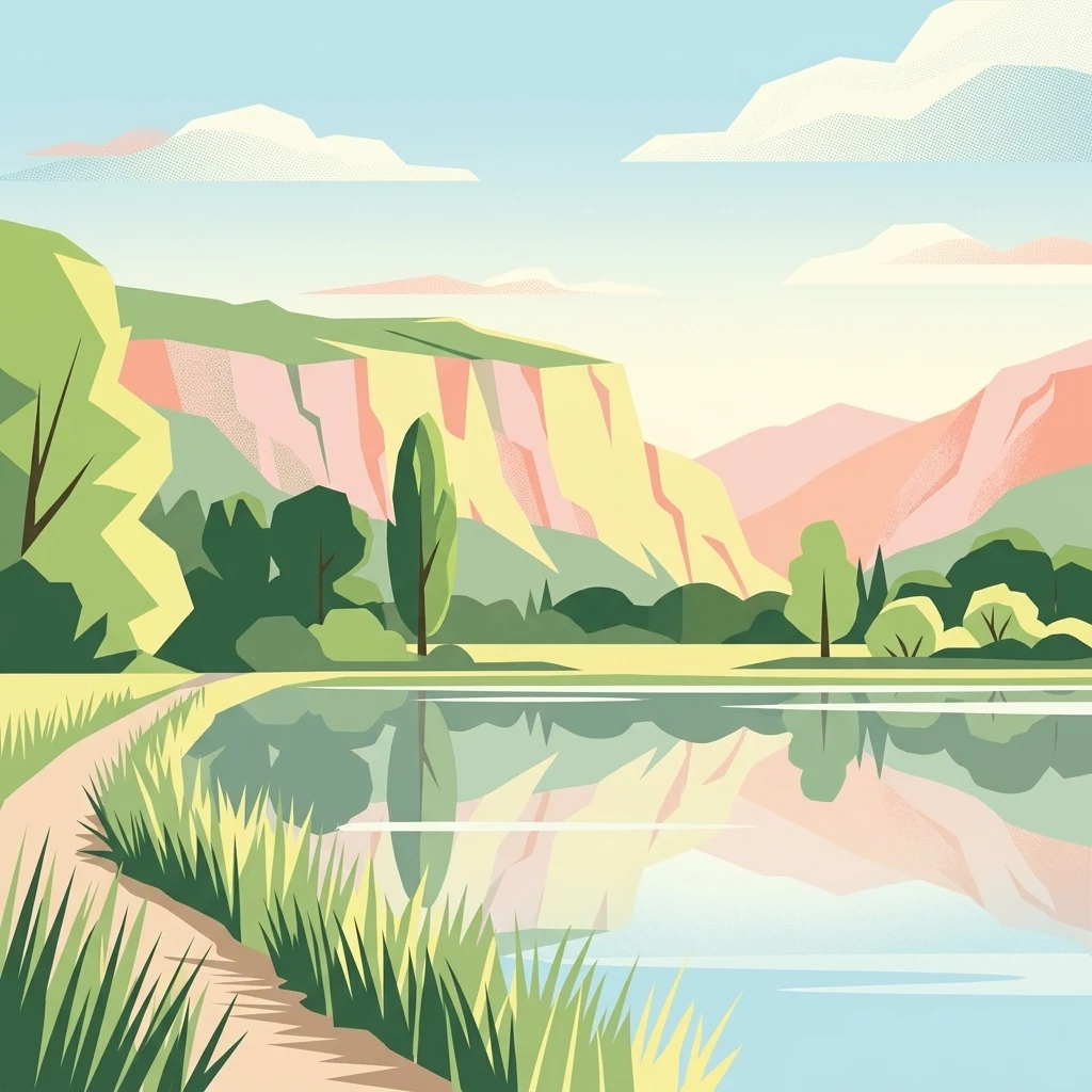
Stylized illustration of a lake with reflective water, grassy shoreline, sandy path, and colorful cliffs under a clear sky

A ribbon of parabolic dunes and heathlands along the Meuse in Dutch Limburg

De Maasduinen National Park

De Maasduinen National Park is a protected area in the Dutch province of Limburg, established in 1996 and covering approximately 4,500 hectares of heathland, forest, and dune terrain. The park occupies a long, narrow sandy ridge stretching over twenty kilometers along the eastern bank of the Meuse River, close to the German border. Its defining landscape feature is a chain of parabolic dunes formed during the last glaciation through the interplay of wind, water, and human activity over millennia. Originally known as De Hamert after the estate at its heart, the park was renamed to reflect these distinctive dune formations. The area represents the longest river dune belt in the Netherlands and supports a mosaic of heathlands, woodlands, and wetlands that form a corridor of ecological significance connecting Dutch and German nature reserves.

Location
Netherlands
Park type
National park
Established
1996
Area
45 km²
De Maasduinen National Park Atlas

Inspect De Maasduinen National Park dates, depths, places, and distances

Review recorded earthquakes around De Maasduinen National Park

De Maasduinen National Park’s 45 km² Dutch lowland mosaic includes forest, grassland, wetlands, lakes, rivers, and dunes. The earthquake search relates source records to this setting by epicentre and distance, retaining chronology, magnitude, depth, and place evidence while stopping short of placing events inside the park, assigning ecological effects, or describing present hazard.

Sort by
Magnitude
Location

This page describes catalogued earthquakes associated with the park by epicentre location and distance. It does not establish causation, assess current danger, or predict future earthquakes.

No earthquake records match the current filters

Park atlas

Expand discovery beyond the De Maasduinen National Park earthquake catalogue

Find more protected parks after De Maasduinen National Park

De Maasduinen National Park protects 45 km² of Dutch forest, grassland, wetlands, lakes, rivers, and dunes. Its related links lead to separate earthquake associations and do not establish shared terrain, ecological effects, danger, or forecast conditions.
Nature reserveNorth Rhine-Westphalia
12 km away#1 closest

Northeast

Unterer Niederrhein Nature Reserve: Geographic Atlas and Floodplain Landscape Mapping

Riverine wetland ecosystems in North Rhine-Westphalia

Uncover the protected landscape of Unterer Niederrhein, an expansive bird protection area along the German Lower Rhine. The region features a mosaic of sand banks, oxbow lakes, and seasonally flooded grasslands, creating a highly interconnected riverine ecosystem that spans across the districts of Kleve and Wesel.

Area
258.094 km²
Established
1983
Relief
Lowland
Climate
Temperate
A soft, light-toned watercolor painting depicting a marshy wetland with patches of grass and distant low trees against a pale, washed-out sky.
Nature reserveNorth Rhine-Westphalia
About 13 km away#2 closest

North

Kranenburger Bruch Nature Reserve: Geography and Protected Wetland Landscapes in North Rhine-Westphalia

A preserved Niedermoor relic in the Düffel floodplain

Kranenburger Bruch stands as a prominent nature reserve in North Rhine-Westphalia, protecting a distinct lowland peat bog and alder carr forest. The area is defined by a low-lying basin topography, seasonal shallow pools, and hedgerow-lined pastures that characterize the traditional Düffel region. This reserve is recognized for its ecological density, hosting diverse birdlife and rare wetland flora across a network of brooks and open water bodies.

Area
1.18 km²
Established
1981
Relief
Lowland
Climate
Temperate
A soft watercolor painting of a winding river surrounded by grassy plains and distant hills, rendered in pale greens and neutral tones.
Protected areaNorth Rhine-Westphalia
About 17 km away#3 closest

South

Schwalm-Nette-Platte mit Grenzwald und Meinweg Protected Area Map and Landscape Analysis

Regional bird sanctuary and habitat mosaic in North Rhine-Westphalia

Schwalm-Nette-Platte mit Grenzwald und Meinweg encompasses roughly 77 square kilometers of varied lowland terrain, featuring pine and oak forests, dry heaths, and wetlands. This geographic overview highlights the unique arrangement of habitats that sustain significant migratory and breeding bird species across the Lower Rhine plain, providing a clear perspective on its role as a cross-border ecological site.

Area
77.22 km²
Established
1983
Watercolor illustration of a peaceful lakeside landscape with soft green trees, rolling hills, and a calm body of water.
Protected landscapeGermany
About 21 km away#4 closest

South

Naturpark Maas-Schwalm-Nette: Geography, Protected Landscapes, and Regional Map Context

A cross-border protected area spanning Germany and the Netherlands

Naturpark Maas-Schwalm-Nette encompasses a wide cross-border expanse defined by the interaction of three distinct river systems. This protected landscape contains notable natural formations including the Krickenbecker Seen peat lakes and the juniper heath of the Lower Rhine. With terrain ranging from quiet border forests to extensive wetlands, the park serves as a primary geographic link between regional conservation zones in Germany and the Netherlands.

Area
870 km²
Established
2002
Relief
Lowland
Climate
Temperate
Watercolor painting of a soft, hazy forest landscape with a pond in the foreground.
Nature reserveNorth Rhine-Westphalia
About 22 km away#5 closest

South

Kaldenkirchener Grenzwald Nature Reserve in North Rhine-Westphalia

Regional border forest with heath moors and rare arboretum stands

Explore the geographic character of the Kaldenkirchener Grenzwald, a significant nature reserve located in the Nettetal region. This area showcases the interplay between native sandy pine forests and protected heath moor remnants, while incorporating the unique Sequoiafarm arboretum. Gain insights into the border landscape of the Lower Rhine and the historical ecological restoration that defines this protected area within Germany.

Established
1949
Relief
Lowland
Climate
Temperate
Access
Easy access
Watercolor painting of a peat bog ecosystem featuring green trees, pink and yellow vegetation, a body of water, and distant mountains
National parkNetherlands
27 km away#6 closest

Southwest

De Groote Peel National Park: Mapped Boundaries of a Unique Raised Bog & Wetland

Protected area with exceptional birdlife and peat landscape.

De Groote Peel National Park represents a crucial protected landscape in the Netherlands, renowned as one of the last substantial raised bogs in Western Europe. Its terrain is characterized by a distinct blend of open lakes formed by historical peat extraction, heathland expanses, and sensitive peat swamps. This Ramsar-designated wetland is a vital habitat for numerous bird species, offering unique opportunities for landscape context and atlas exploration of its ecological significance and mapped geographic features.

Area
13.4 km²
Established
1993
IUCN
II
Relief
Lowland
Nature reserveKrefeld
27 km away#7 closest

Southeast

Hülser Bruch Nature Reserve: Geographic Atlas and Protected Landscape Mapping for Krefeld

A historic glacial plain and protected wetland habitat in the Lower Rhine region.

Hülser Bruch represents a vital protected area in Krefeld, characterized by clay rich soils, high groundwater levels, and ancient brook channels. The reserve preserves a distinct mosaic of coppice woodland and earthen embankments that reveal the geomorphological influence of Pleistocene ice sheets on this lowland territory.

Area
4.3 km²
Established
2002
Relief
Lowland
Climate
Temperate
A watercolor painting showing soft, light green and pink rolling hills with stylized trees against a white background.
Nature reserveNorth Rhine-Westphalia
27 km away#8 closest

Northeast

Hetter-Millinger Bruch Nature Reserve: An Atlas of North Rhine-Westphalia Floodplain Landscapes

Protected wet grasslands and drainage networks near the Rhine

Hetter-Millinger Bruch constitutes an expansive nature reserve in the Lower Rhine region, noted for its four-part structural design and commitment to habitat management. Spanning a landscape of open meadows, grazing pastures, and antique land drainage systems, the reserve acts as a vital ecological corridor along the border of Germany and the Netherlands. Its flat, low-lying terrain provides a classic representation of regional riverine geography.

Area
6.6 km²
Established
1989
IUCN
IV
MoriAtlas Explorer

Continue Your Geographic Exploration of De Maasduinen National Park's Unique Terrain

To further understand the cartographic and geographic significance of De Maasduinen National Park, continue exploring its mapped protected boundaries and the surrounding regional landscape. Discover how this national park fits within the broader atlas of Dutch natural areas and its role as a key protected corridor for ecological discovery.

Global natural geography