Mori Atlas logo
National parkDe Maasduinen National Park

Discover the Protected Areas and Unique Terrain of Limburg's Iconic Dune System

De Maasduinen National Park: Mapping the Longest River Dune Landscape in the Netherlands

(Nationaal Park De Maasduinen)

De Maasduinen National Park in the province of Limburg presents an exceptional protected landscape, characterized by the longest river dune chain in the Netherlands. This national park showcases a unique geography shaped by wind and water over millennia, offering a rich tapestry of heathlands, forests, and wetlands. Explore its mapped boundaries and distinct terrain, understanding its role as a significant natural corridor within regional Dutch and German conservation efforts.

National ParkHeathlandRiver DunesWetlandsPine ForestLimburg

De Maasduinen National Park

National park

Park overview

Structured park overview, official facts, and landscape profile for De Maasduinen National Park

De Maasduinen National Park park facts, protected area profile, and essential visitor context
Review the core facts for De Maasduinen National Park, including designation, size, terrain, visitor scale, habitats, and operating context in one park-focused overview.

About De Maasduinen National Park

De Maasduinen National Park occupies a distinctive position in the Dutch protected area network as the longest linear nature reserve in the Netherlands. The park stretches over twenty kilometers along a sandy ridge between the Meuse River and the German border, with an average width of just two to three kilometers. This elongated form reflects the geological origins of the landscape, which was shaped by the ancient course of the Rhine and subsequent wind erosion during the late glacial period. The parabolic dunes, some of the most distinctive in northwestern Europe, give the park its name and define its visual character. The interior contains a mosaic of dry heathlands on the dune crests, damp fens in the interdunal valleys, and mature pine and deciduous forests that have developed since extensive planting in the nineteenth century. The estate known as De Hamert forms the historical and geographic core of the park, and until 1998 the protected area carried this name before being renamed to emphasize the broader dune landscape. Several former sand and gravel extraction sites within the park have been restored and now contribute to the habitat diversity.

Quick facts and research context for De Maasduinen National Park

De Maasduinen National Park is located in North Limburg, Netherlands, straddling the municipalities of Bergen and Gennep. The park covers roughly 45 square kilometers along a sandy plateau adjacent to the Meuse River, within sight of the German border. It was established in 1996 under IUCN category II and is managed collaboratively by Staatsbosbeheer, Stichting het Limburgs Landschap, the municipality of Bergen, and private landowners. The park contains the longest river dune chain in the Netherlands, with parabolic dunes dating back to the last ice age. Prior to the 20th century, active drifting sand was common across the area, but forestry programs largely stabilized these formations.

Park context

Deeper park guide and search-rich context for De Maasduinen National Park

De Maasduinen National Park history, landscape, wildlife, and travel context
Explore De Maasduinen National Park through its history, landscape character, ecosystems, wildlife, conservation priorities, cultural context, and seasonal travel timing in a structured park guide built for atlas discovery and search intent.

Why De Maasduinen National Park stands out

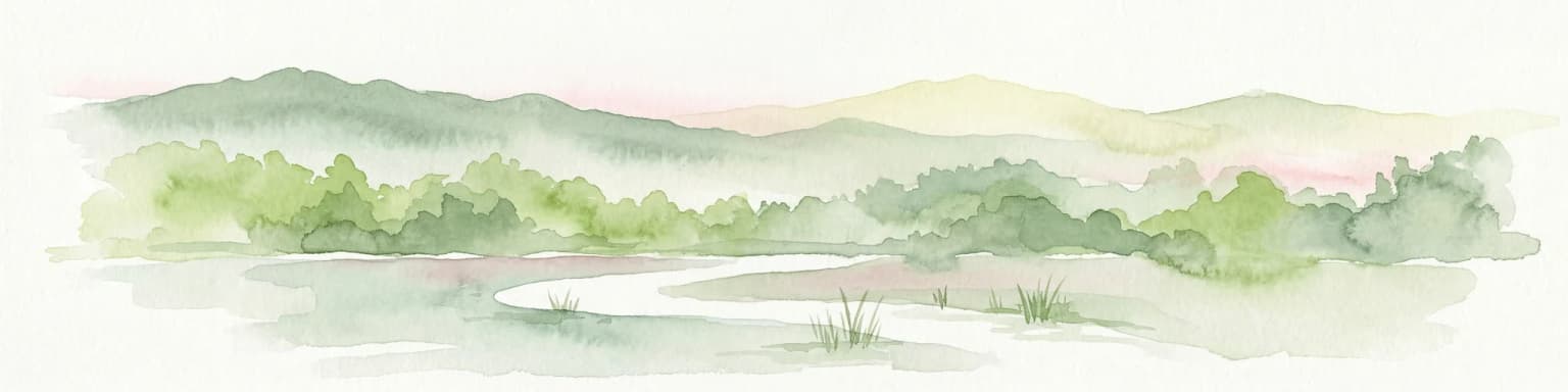
De Maasduinen is best known for its exceptional parabolic dune landscape, the longest river dune system in the Netherlands, which was formed by wind action during the last glaciation. The park is also recognized for its extensive heathlands and the presence of large grazing animals including Galloway cattle and Kempische heideschapen that help maintain the open character of the heath. The area serves as an important corridor for migrating cranes, which stop in the park's wetland complexes during spring and autumn migrations. The rare European nightjar nests in the Bergerbos section, and the park supports populations of smooth snakes, sand lizards, and several bat species.

De Maasduinen National Park history and protected-area timeline

The geological history of De Maasduinen spans roughly 21,000 years to the last ice age, when the landscape was exposed to extreme cold and dryness. During this period, powerful westerly winds lifted sand from the broad, unvegetated plain and deposited it on the eastern banks of the Meuse, creating the characteristic parabolic dune forms. The park contains the longest river dune belt in the Netherlands, a geological feature of considerable scientific and landscape value. Human activity has shaped the area since prehistoric times, with deforestation during the Roman period and intensified agriculture from the sixth century onward progressively altering the natural vegetation. The establishment of the potstal system for sheep farming led to overgrazing and the formation of active drifting sands across large areas. In the nineteenth century, extensive pine plantations were established to stabilize these shifting sands. The modern protected area emerged from a series of nature reserves established through the twentieth century, which were consolidated into De Maasduinen National Park in 1996. The park was originally named De Hamert after the principal estate at its center, but was renamed in 1998 to reflect the broader geographic and geological identity of the area.

De Maasduinen National Park landscape and geographic character

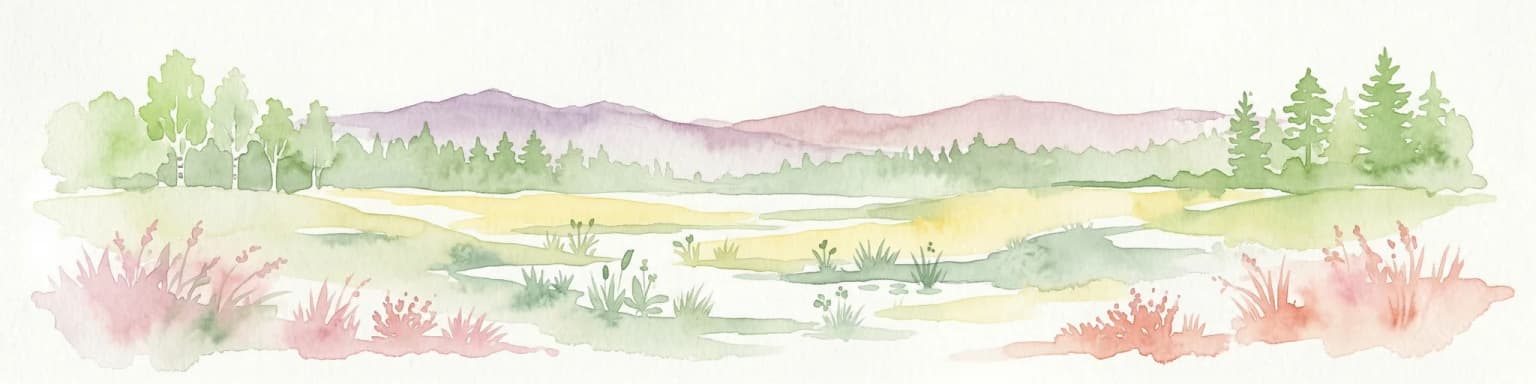
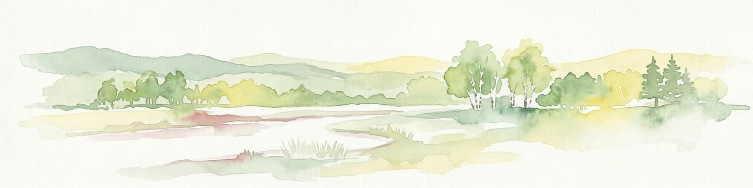
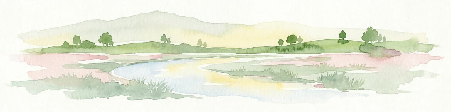
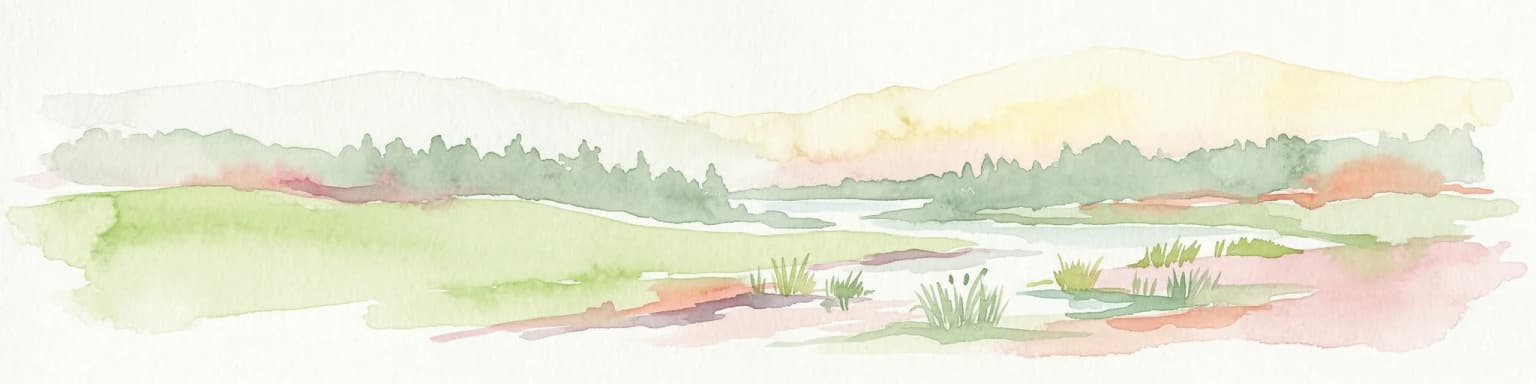
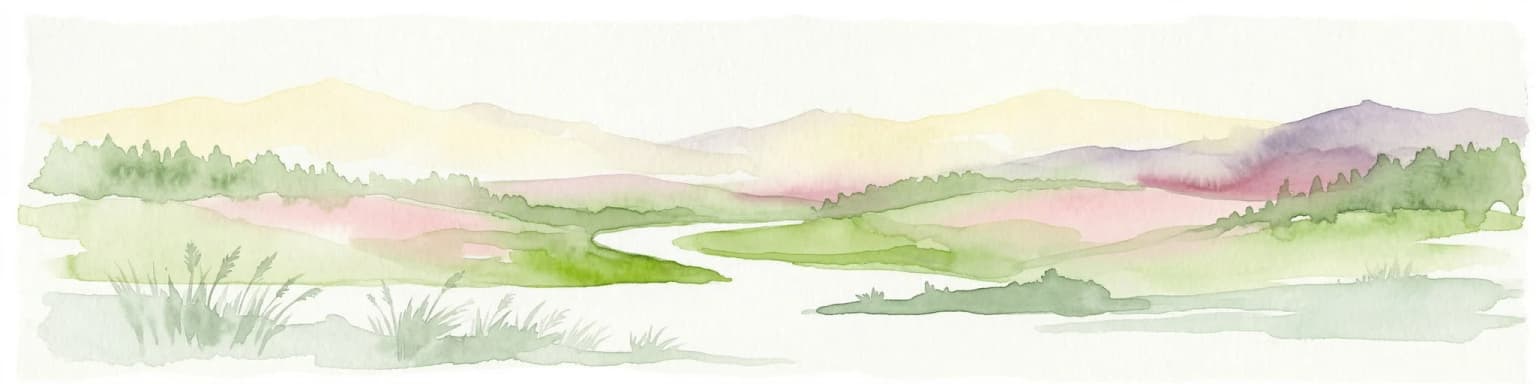
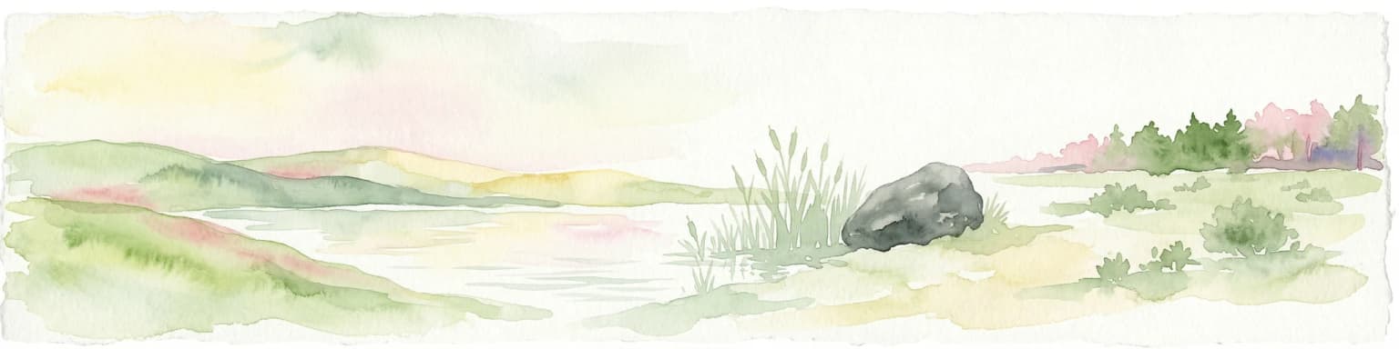
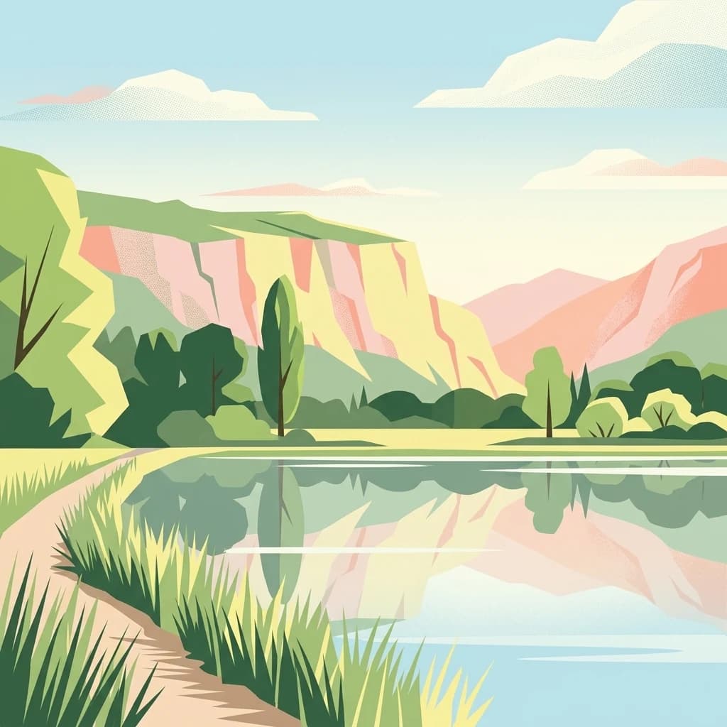
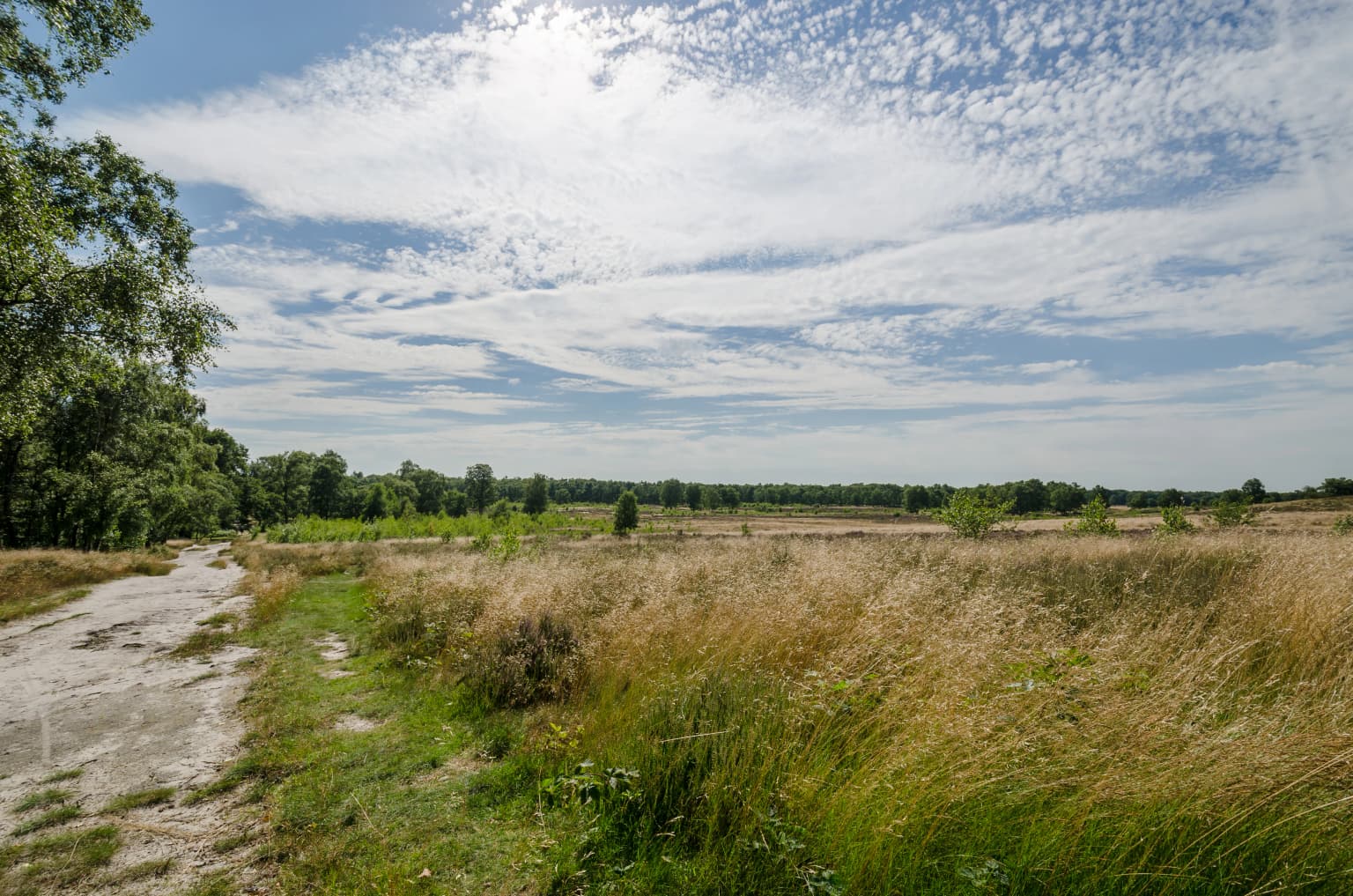
The physical landscape of De Maasduinen is defined by a sequence of parabolic dunes oriented roughly parallel to the Meuse River, forming a distinctive undulating terrain across the sandy plateau. These dunes, which date from the final phase of the last glaciation, represent the most extensive river dune system in the Netherlands. The dune crests are typically stabilized by heath vegetation and pine forest, while the interdunal depressions contain fens and wet heath communities. The area lies on a long, narrow sand ridge that rises slightly above the surrounding agricultural landscape, creating a natural corridor running from north to south along the Dutch-German border. Former sand and gravel extraction in the 1980s created additional water bodies within the park, adding to the diversity of wetland habitats. The forest cover is a combination of planted coniferous stands and more natural deciduous woodlands of oak, birch, and beech.

De Maasduinen National Park ecosystems, habitats, and plant life

The ecological character of De Maasduinen reflects the combination of dry heathland, damp fen, and woodland habitats that occur across the dune landscape. The heathlands, maintained by grazing and historical land use, support specialized plant communities adapted to acidic, nutrient-poor soils. The fens in the dune valleys provide contrasting wetland conditions with distinctive flora including the rare marsh gentian and bog myrtle. The forest habitats range from coniferous plantations to more mature deciduous woodlands, with oak, birch, pine, alder, and beech as the principal tree species. The mosaic of open heath, woodland, and wetland creates a diversity of ecological niches that supports the notable biodiversity recorded in the park, including at least 26 dragonfly species and 33 butterfly species.

De Maasduinen National Park wildlife and species highlights

De Maasduinen supports a noteworthy assemblage of reptile and amphibian species, including the smooth snake, natterjack toad, sand lizard, slow worm, and viviparous lizard. The wetland areas and heathlands provide habitat for a range of bird species characteristic of open and marshy terrain, with the common crane being particularly notable as a migrating species that stops to rest in the park's fen complexes during spring and autumn. Other characteristic birds include the European nightjar, Eurasian hobby, western marsh harrier, black woodpecker, and common kingfisher. Several marten species occur in the park, along with Eurasian beavers that have expanded into the wetter areas from reintroduction programs elsewhere in Limburg. Bat species present include the common pipistrelle and brown long-eared bat, utilizing the woodland and built structures for roosting.

De Maasduinen National Park conservation status and protection priorities

The park is designated under IUCN category II as a national park and is part of the broader Natura 2000 network of European protected areas. The management strategy focuses on maintaining the open heathland character through controlled grazing by sheep and large herbivores including Galloway cattle and land goats, which prevent the natural succession of woodland onto former heath areas. A key objective is the ecological connection of De Maasduinen with adjacent nature reserves, creating a larger functional landscape that facilitates species movement between the Netherlands and Germany. The park forms part of a chain of protected areas along the eastern bank of the Meuse, connecting through National Park De Meinweg toward the German border. The maintenance of the parabolic dune system and the associated heath and fen habitats represents a conservation priority, as these are declining habitat types in the Dutch context.

De Maasduinen National Park cultural meaning and human context

The De Maasduinen area has been inhabited and used by humans since prehistoric times, with archaeological evidence of continuous occupation from the Roman period onward. The traditional agricultural practice of keeping sheep on the heathlands using the potstal system contributed both to the historical economy of the region and to the formation of the characteristic open landscape. The name De Maasduinen, which translates to The Dunes of the Meuse, reflects both the geographical position along the river and the dominant landform. The region encompasses the municipalities of Bergen and Gennep and is sometimes used as a broader regional name for this part of North Limburg, distinguishing it from the adjacent Land of Cuijk on the Brabant side of the river and the German Kleve district across the border.

Top sights and standout views in De Maasduinen National Park

The longest river dune chain in the Netherlands, with well-preserved parabolic dunes from the last glaciation, forms the park's most distinctive feature. The heathlands, maintained by traditional grazing, provide one of the most extensive semi-natural landscapes in the Dutch lowlands. The crane migration corridor passes through the park, with these impressive birds stopping to rest in the wetland complexes during seasonal movements. The Bergerbos section holds the rare European nightjar, a species of conservation concern in northwestern Europe. The combination of dry heath, damp fen, and woodland creates a habitat mosaic that supports exceptional invertebrate diversity, with more than 30 butterfly species and 26 dragonfly species recorded.

Best time to visit De Maasduinen National Park

The park can be visited throughout the year, with each season offering a different character. Spring and early summer bring the heathland into flower and are optimal for observing heathland-specialist butterflies and breeding birds. Autumn is particularly notable for the crane migration, when groups of these large birds can be observed resting in the park's wetland areas. The deciduous forests display strong seasonal color in autumn. Winter, while quieter, offers the opportunity to observe the park's structure and geology without foliage cover and to see the large grazing animals moving through the open heathland.

Park location guide

Geography guide, regional context, and park location map for De Maasduinen National Park

De Maasduinen National Park park geography, regions, and map view in Netherlands
Understand where De Maasduinen National Park sits in Netherlands through a broader geographic reading of the surrounding landscape, nearby location context, and its mapped position within the national park landscape.

How De Maasduinen National Park fits into Netherlands

The Netherlands is a low-lying coastal country in Northwestern Europe, famous for its extensive dike and canal systems that reclaim land from the sea. It consists of twelve provinces and is known for tulips, windmills, and cycling culture. The country is a founding member of the European Union with Amsterdam as its capital and The Hague as the seat of government.

Wider geography shaping De Maasduinen National Park in Netherlands

The Netherlands is located in Northwestern Europe along the North Sea coastline to the north and west. It borders Germany to the east and Belgium to the south. The country is notably flat, with a significant portion of its territory lying below sea level, protected by dikes and dune systems. It consists of twelve provinces and also includes overseas municipalities in the Caribbean.

Map view of De Maasduinen National Park

Use this park location map to pinpoint De Maasduinen National Park in Netherlands, understand its exact geographic position, and read its mapped placement within the surrounding landscape more clearly.

Pigeon | © OpenStreetMap contributors

Location context for De Maasduinen National Park

Limburg
Park atlas

Compare other national parks, nature reserves, and protected landscapes across the Dutch province of Limburg and its cross-border regions.

Explore More National Parks and Protected Areas Near De Maasduinen in Limburg
Explore national parks and protected areas near De Maasduinen National Park, mapping similar conservation landscapes and regional park geography within Dutch Limburg. Continue your park discovery by comparing their distinct geographic characteristics and conservation efforts, gaining valuable context within the broader protected-area network of this border region.
Watercolor painting of a peat bog ecosystem featuring green trees, pink and yellow vegetation, a body of water, and distant mountains
National park

De Groote Peel National Park: Mapped Boundaries of a Unique Raised Bog & Wetland

Protected area with exceptional birdlife and peat landscape.

De Groote Peel National Park represents a crucial protected landscape in the Netherlands, renowned as one of the last substantial raised bogs in Western Europe. Its terrain is characterized by a distinct blend of open lakes formed by historical peat extraction, heathland expanses, and sensitive peat swamps. This Ramsar-designated wetland is a vital habitat for numerous bird species, offering unique opportunities for landscape context and atlas exploration of its ecological significance and mapped geographic features.

Area
13.4 km²
Established
1993
IUCN
II
Relief
Lowland
Watercolor painting of a landscape featuring a stream, trees, and rolling hills
National parkLimburg

De Meinweg National Park: Unique Terraced Landscape and Protected Area in Limburg

National Park with exceptional reptile and amphibian biodiversity.

De Meinweg National Park is a remarkable protected landscape located in the Dutch province of Limburg, distinguished by its rare terraced topography unlike any other in the Netherlands. This national park, covering 1,800 hectares, is a key component of the transboundary Grenspark Maas-Swalm-Nette, bordering Germany. Its ecological significance is underscored by its status as a Natura 2000 site, with notable biodiversity, particularly among reptiles and amphibians, and regenerating raised bogs. MoriAtlas offers a map-centric view of this unique protected area, detailing its geographic context and landscape features for structured discovery.

Area
18 km²
Established
1995
IUCN
II
Relief
Upland
Watercolor illustration of a park landscape with a winding stream, grassy fields, and distant hills
National parkGelderland

Veluwezoom National Park: Protected Landscape Atlas and Gelderland Geography

Explore oldest Dutch national park, heathlands, and glacial terrain.

Veluwezoom National Park is the Netherlands' inaugural national park, located in Gelderland. This page provides an atlas-driven exploration of its protected landscape, characterized by rolling heathlands, ancient forests, and dramatic glacial push moraines. Users can discover the park's geographical features, mapped boundaries, and its significance as a conserved natural area within the Veluwe region.

Area
50 km²
Established
1930
IUCN
II
Watercolor painting of rolling hills, green trees, and a winding path
National parkGelderland

De Hoge Veluwe National Park: Mapped Protected Landscape & Geographic Atlas Context

Explore Gelderland's unique heathland, sand dune, and woodland terrain.

De Hoge Veluwe National Park represents a distinctive protected area within the Gelderland region of the Netherlands. Its landscape is characterized by a unique mosaic of heathlands, sand dunes, and woodlands, shaped by ice age processes and historical land use. This page offers an atlas-focused exploration of its geographic setting, mapped boundaries, and the specific terrain that defines this significant natural and cultural heritage site.

Area
55 km²
Established
1935
IUCN
II
Visitors
629.4K annual
Watercolor landscape showing green hills, forests, and a small stream with grassy patches
National parkUtrecht Province

Utrechtse Heuvelrug National Park: Mapped Protected Landscape and Geographic Atlas

Discover Utrecht Province's glacial ridge and diverse natural terrain.

Utrechtse Heuvelrug National Park is a significant protected natural area located in Utrecht Province, renowned for its unique glacial ridge topography. This entry provides detailed information about its mapped boundaries, diverse landscapes including heathlands and forests, and its importance as an ecological corridor within the Netherlands. Explore the park's distinct geography and its role in regional conservation through our structured atlas view.

Area
100 km²
Established
2003
IUCN
II
Visitors
1M annual
Watercolor illustration of rolling hills, a winding river, and fields with distant mountains
National parkNorth Brabant

Van Gogh National Park: National Park in North Brabant with Dune Landscapes

Explore mapped protected areas and regional geography.

Van Gogh National Park is a significant protected landscape in North Brabant, Netherlands, covering approximately 1,200 square kilometers. This national park is distinguished by its extensive drift sand dune systems, notable heathlands, and wooded valleys, offering a diverse terrain within the Dutch context. Named in tribute to Vincent van Gogh, it merges rich natural landscapes with cultural heritage, serving as a model for collaborative conservation and regional development, all mapped for detailed atlas exploration.

Area
1,200 km²
Established
2024
IUCN
II
Relief
Lowland
Watercolor artwork showing sand dunes, scattered trees, distant mountains, and soft sky
National park

De Loonse en Drunense Duinen National Park: Explore Dutch Protected Sand Drift Landscapes and Heathlands

National Park with unique living sand drift and dune terrain.

Navigate the geographic contours and protected land boundaries of De Loonse en Drunense Duinen National Park, a premier Dutch natural area. This national park is celebrated for its extensive living sand drift, one of the largest in Northern Europe, alongside significant heathlands and coniferous forests. Gain a structured understanding of its landscape character and its role within regional geography through detailed map context and atlas exploration tools.

Area
35 km²
Established
2002
IUCN
II
Relief
Lowland
National parkLimburg

Hoge Kempen National Park: National Park Protected Landscape and Limburg Geographic Context

Explore mapped boundaries within the Limburg region.

Gain a comprehensive understanding of Hoge Kempen National Park as a distinct protected national park. This resource provides critical insights into its geographic setting within the Limburg region, detailing its mapped boundaries and overall landscape context. It serves as an essential point for atlas exploration, allowing users to appreciate the park's role as a protected natural area and its place within the regional geography of Belgium.

Area
67 km²
Established
2006
IUCN
II

Common questions about visiting, size, designation, and location context for De Maasduinen National Park

De Maasduinen National Park FAQs for park facts, access, geography, and protected area context
Find quick answers about De Maasduinen National Park, including protected-area facts, park geography, trail and visitor context, and how the park fits into its surrounding country and regional landscape.
MoriAtlas Explorer

Continue Your Protected Areas Search Across the Global Atlas

Deepen your exploration by continuing the structured search for national parks and protected areas worldwide. Utilize the comprehensive filtering capabilities to compare different conservation landscapes and refine your understanding of global park geography. Discover more about the distribution and characteristics of protected natural areas.

Global natural geography