Mori Atlas logo
Nearby park discovery

Map-based regional discovery of protected areas surrounding the Dreibächel spruce forest

Protected Landscapes and Regional Nature Reserves Near Dreibächel in Saxony, Germany

Examine the distribution of protected landscapes and nature reserves located within the surrounding Westerzgebirge region. This geographic mapping provides a clear overview of the proximity and regional context of sites neighboring the Dreibächel nature reserve. Analyze spatial relationships between these protected forest areas and the broader mountain terrain of the Ore Mountains.

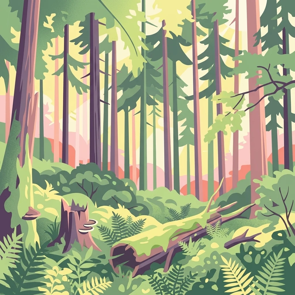
A stylized digital illustration of a dense forest featuring tall spruce trees, a mossy fallen log, a tree stump with shelf mushrooms, and ferns on the forest floor.

A small Saxon forest reserve protecting the oldest spruce stand in Saxony.

Dreibächel Nature Reserve

Dreibächel is a small nature reserve in Saxony, Germany, occupying roughly 14.72 hectares of forested mountainside in the Westerzgebirge, the western part of the Ore Mountains. The reserve lies on the slopes of the Schneehübel, between the communities of Morgenröthe-Rautenkranz in the Vogtlandkreis and Carlsfeld in the Erzgebirgskreis, straddling the boundary between the two modern administrative districts. The reserve takes its name from the three small streams whose waters meet on or near the protected slopes: the Diebsbach and the Markersbach come together within the area, and a short distance downstream the Cunitzbach joins them before the combined flow continues toward the Große Pyra. This confluence of forest streams helped define the boundaries of the protected landscape. Dreibächel is most celebrated for containing the oldest spruce stand in Saxony. Designated in 1961, the reserve safeguards a continuous tradition of selective, plenterwald-style forest management that has allowed veteran trees to grow far beyond typical harvest age. The site serves both as a conservation area and as a quiet outdoor classroom, with a short interpretive trail explaining the forest's history and ecology.

Location
Germany
Park type
Nature reserve
Established
1961
Area
0.1 km²
Dreibächel Nature Reserve Geography
Regional park map

See the ranked park cluster in its geographic setting

Nearby parks around Dreibächel Nature Reserve

This regional map shows the same 20 nearby parks ranked below around Dreibächel Nature Reserve. Select a ranked marker to highlight that park’s boundary where boundary data is available.
Reference park: Dreibächel Nature ReserveRanked nearby park20 nearby parks shown
20 nearby parks

Distance separation and directional comparisons across surrounding landscapes

Ranked Protected Areas and Regional Park Geography Geographically Near Dreibächel

Spatial analysis maps proximity and directional relationships between Dreibächel and neighboring protected areas based on direct geographic coordinates. Structured metrics and environmental attributes provide baseline comparison signals for evaluating surrounding regional terrain.
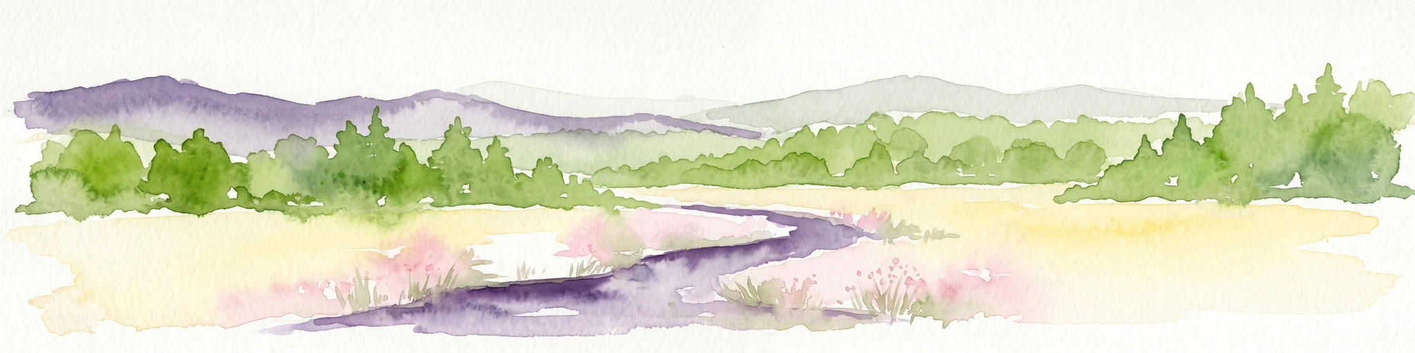
Watercolor painting of a flat marshy landscape with a small winding stream in the foreground, green trees in the midground, and soft purple mountain silhouettes in the distance.
Nature reserveSaxony
About 3.3 km away#1 closest

East

Großer Kranichsee Nature Reserve: Protected Raised Bog Geography and Ore Mountain Landscapes

Watershed moorland, mountain pine forests, and Saxony high plateau geography.

Großer Kranichsee serves as a primary example of an intact raised bog system in the Ore Mountains. The reserve features rare peat-forming vegetation and highland bog forests, occupying a high-altitude plateau that bridges the border between Saxony and the Czech Republic. Its geographic significance stems from its role as a triple watershed, defining the drainage patterns for three distinct regional river systems within the protected Erzgebirgskamm zone.

Area
6.11 km²
Established
1912
A horizontal watercolor illustration of a gentle landscape with scattered trees, soft green foliage, and faint mountain outlines in the background.
Nature reserveSaxony
About 4.6 km away#2 closest

North

Am Riedert Nature Reserve: Protected Mountain Forest Geography in Saxony, Germany

Analyzing the ecological boundaries and Hercynian mountain mixed forest terrain

Am Riedert is a compact but ecologically important nature reserve situated on the rugged slopes of the western Erzgebirge. This site protects a significant example of mountain mixed forest, characterized by its mature silver fir populations and active natural regeneration. By examining its location south of the Zwickauer Mulde river, visitors can trace the intersection of Saxon history and conservation within this unique protected landscape.

Area
0.185 km²
Established
1961
IUCN
IV
Relief
Mountain
Nature reserveSachsen
About 10 km away#3 closest

Northeast

Friedrichsheider Hochmoor Nature Reserve: Geography and Protected Bog Landscape in Sachsen

High-elevation peatland and bog pine forest mapping

Situated at 800 meters above sea level near Sosa, Friedrichsheider Hochmoor serves as a cornerstone of peatland conservation in the Erzgebirge. This reserve is defined by its thick peat body and dense Spirken moor forest, offering a rare look at near-intact mire ecosystems that support diverse Sphagnum mosses and subarctic plant communities within a protected regional framework.

Area
0.19 km²
Established
1967
IUCN
IV
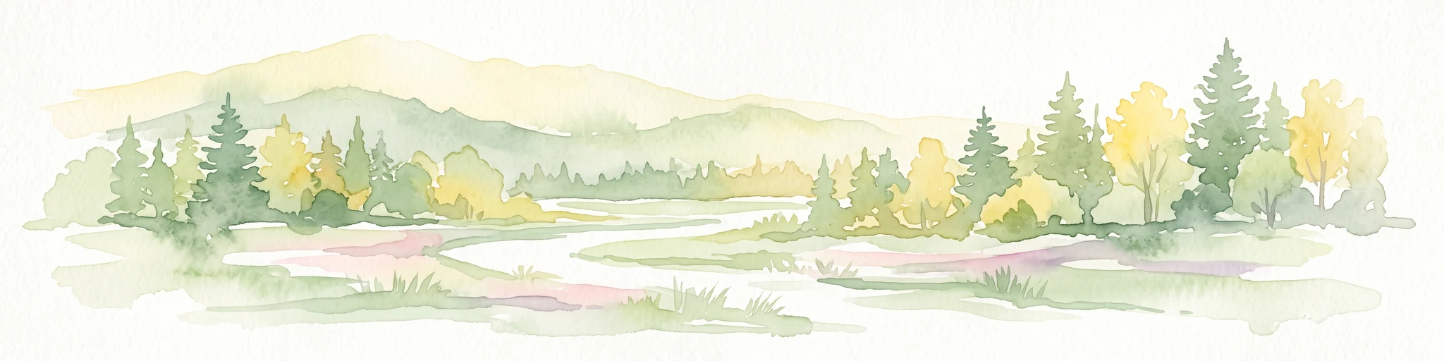
A horizontal watercolor illustration depicting a soft, green, mountain landscape with hills, conifers, and a waterlogged meadow.
Natural monumentKarlovy Vary Region
About 12 km away#4 closest

Southeast

Rudenská luční prameniště Natural Monument: Protected Mountain Wetland Atlas

Karlovy Vary Region Ore Mountains landscape mapping

Rudenská luční prameniště is a protected mountain wetland in the Ore Mountains, defined by a distinct mosaic of spring fens, peat deposits, and mountain meadows. Its geographic layout, spanning twenty three hectares across sloping terrain, creates a vital drainage system for the local landscape. By examining this protected site, you can better understand the unique hydrological and botanical features that distinguish these rare mountain mire complexes from the surrounding highland forests.

Area
0.232 km²
Established
2020
IUCN
IV
Relief
Mountain
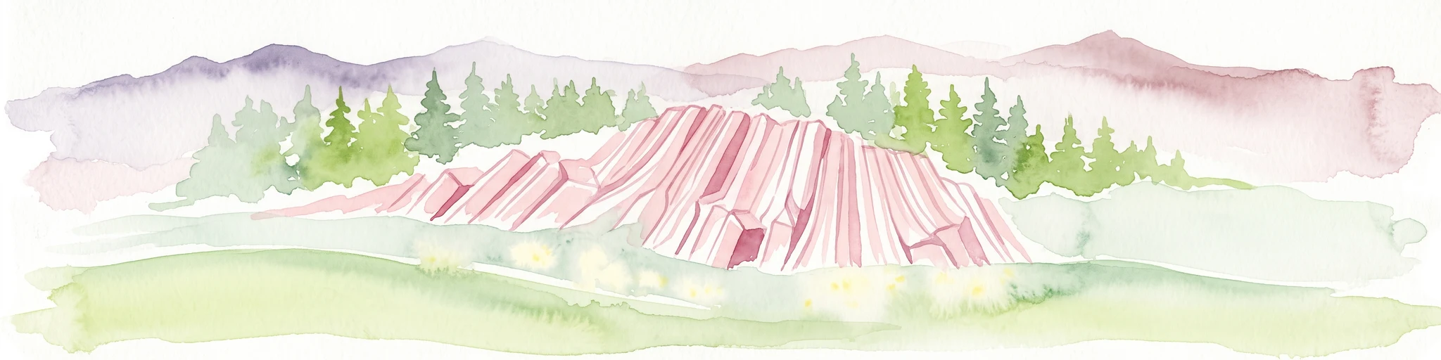
Watercolor painting of columnar basalt formations surrounded by a pine forest and soft, layered hills in the background.
Natural monumentKarlovarský kraj
About 14 km away#5 closest

South

Rotava Natural Monument: Geological Landforms and Basalt Outcrops in the Karlovarský kraj Region

Protected volcanic terrain and rare botanical habitats in the Czech Republic

Rotava Natural Monument showcases remarkable vertical basalt columns formed by ancient volcanic activity. Located in the Karlovarský kraj region, this site provides a dense, concentrated look at columnar jointing and the specific meadow flora that thrives in its mineral-rich, acidic soil conditions, serving as a landmark for regional geological study.

Area
0.003 km²
Established
1978
IUCN
IV
Relief
Mountain
Nature reserveSaxony
About 15 km away#6 closest

North

Heide und Moorwald am Filzteich: Nature Reserve and Bog Landscape in Saxony

Protected moorland forest and heathland geographic context

Heide und Moorwald am Filzteich provides a unique look at habitat management in the Erzgebirge region. This nature reserve, adjacent to the Filzteich reservoir, encompasses a protected mosaic of open heath, remnant bog systems, and historical peatland terrain. Its geographic boundaries offer insights into the transitional landscapes of the Saxon uplands and local water table influences on wetland biodiversity.

Area
3.14 km²
Established
2010
IUCN
IV
Natural monumentKarlovarský kraj
About 16 km away#7 closest

East

Vlčí jámy Natural Monument: Protected Geological and Industrial Heritage in Bohemia

Ore Mountains mining collapse and relict microclimate landscape

Vlčí jámy protects a rare intersection of medieval mining history and environmental significance in the Karlovarský kraj. The site is defined by two deep collapse features, Ledová jáma and Vlčí jáma, which function as persistent cold traps. These geological anomalies support critically endangered mosses and bat colonies, illustrating how abandoned industrial landscapes in the Ore Mountains evolve into essential, small-scale protected habitats.

Area
0.014 km²
Established
1975
IUCN
III
Relief
Mountain
Nature reserveSachsen
About 17 km away#8 closest

Northeast

Conradswiese Nature Reserve: Geographic Overview of the Saxon Ore Mountains Forest Meadow

Protected mountain meadow and mixed forest terrain in Sachsen.

Conradswiese encompasses a distinct Waldwiese clearing embedded within the Bergmischwald of the western Ore Mountains. Located near the Morgenleithe, this nature reserve is positioned along a watershed boundary between two river systems, making it a point of geographic interest for those exploring the natural heritage and silvicultural history of Germany.

Area
38.97 km²
IUCN
IV
Nature reserveSachsen
About 25 km away#9 closest

North

Hartensteiner Wald Nature Reserve: Saxon Protected Landscapes and Regional Geography

Woodland habitat and river valley terrain in Zwickau

Hartensteiner Wald functions as a key Natura 2000 protected area within the Free State of Sachsen. This reserve offers a layered landscape of native beech woodlands, steep valley slopes, and striking rocky outcrops along the Zwickauer Mulde. Use this atlas perspective to map the reserve's historic features, such as the Prinzenhöhle and Knoblauchfelsen, while understanding its conservation role in the broader Erzgebirge transition zone.

Area
0.89 km²
Established
1961
IUCN
IV
Relief
Upland
Nature reserveSachsen
About 28 km away#10 closest

East

Fichtelberg Nature Reserve: Mapped Protected Landscapes and Geography of the Saxon Erzgebirge

High-altitude mountain meadows, subalpine mires, and rare periglacial landforms.

Fichtelberg Nature Reserve protects a mosaic of high-altitude habitats across the Erzgebirge mountain range. This area features rare Nardus grasslands, spruce forests, and waterlogged mire systems. The landscape is defined by its complex ice-age legacy, containing notable frost-patterned ground structures that provide an essential window into the natural history of Saxony.

Area
2.09 km²
Established
2008
IUCN
IV
Nature reserveSaxony
About 31 km away#11 closest

Northwest

Waschteich Reuth Nature Reserve: Mapped Wetland Landscapes of the Saxony Vogtland

Protected pond habitats and regional woodland ecosystems

Waschteich Reuth serves as a compact yet ecologically rich nature reserve in the Vogtland. Its protected boundaries encompass a traditional pond with floating-leaf vegetation, damp meadows, and native oak-hornbeam forest. This site stands as a prime example of Saxony's wetland heritage, illustrating the importance of small-scale habitat preservation within the broader German river network.

Area
0.212 km²
Established
1995
Water
Major water bodies
Natural monumentKarlovarský kraj
About 32 km away#12 closest

Southwest

Vernéřovské doly Natural Monument: A Geological Landmark in the Karlovarský kraj

Rare pegmatite mineralogy and historic mining terrain in western Czechia.

Located in the Cheb District, Vernéřovské doly functions as a specialized natural monument dedicated to preserving a quartz-amblygonite-microcline vein system. This protected area provides a window into hydrothermal ore formation, featuring geological structures comparable only to sites in Portugal and the Ural Mountains.

Area
0.003 km²
Established
1999
IUCN
III
Relief
Upland
Nature reserveÚstecký kraj
About 33 km away#13 closest

East

Vápenka v Háji u Loučné pod Klínovcem: Nature Reserve and Calcareous Landscape Map

Examining rare flora and industrial heritage in Ústecký kraj.

Vápenka v Háji u Loučné pod Klínovcem protects an 8.37 hectare site defined by its unusual dolomitic geology and history of lime extraction. This landscape hosts a specialized assemblage of critically endangered fungi and plants, offering a distinct contrast to the acidic soils of the surrounding Ore Mountains.

Area
0.084 km²
Established
2024
IUCN
IV
Relief
Mountain
A soft watercolor painting showing a pond landscape with rolling hills in the background, green trees in the midground, and tall grasses along the water edge.
Nature reserveSachsen
About 35 km away#14 closest

West

Großer Weidenteich Nature Reserve: Mapping the Biodiversity of the Saxon Vogtland

A vital protected landscape shaped by traditional grazing management

Großer Weidenteich acts as a crucial refuge for diverse species, including nearly 700 butterfly varieties and numerous breeding bird populations. The reserve's landscape is characterized by a mix of wetlands, meadows, and shrubby margins that rely on continuous sheep grazing for structural maintenance. This area provides a clear perspective on how small-scale water bodies and varied vegetation patches contribute to the health of the broader Saxon regional ecosystem.

Area
3.349 km²
Established
1994
IUCN
IV
A stylized vector-style illustration showing a man and a child standing on the grassy bank of a pond, watching a swimmer in the middle of the water, with a waterfall and forest in the background.
Natural monumentKarlovarský kraj
About 37 km away#15 closest

South

Na Vážkách Natural Monument: Mapping Protected Forest Landscapes in Karlovarský kraj

A rare oligotrophic pond and wetland habitat in Western Bohemia.

Na Vážkách provides a unique example of small-scale landscape protection, featuring clear, sandy-bottomed waters within the broader forest mosaic of Karlovarský kraj. Designated in 2017, this natural monument is recognized for its significant dragonfly populations and its role in preserving historical aquatic water systems.

Area
0.026 km²
Established
2017
IUCN
III
Relief
Upland
Natural monumentKarlovarský kraj
About 37 km away#16 closest

East

Malý Stolec Natural Monument: Volcanic Landscape and Regional Protected Area Atlas

Exposing neovolcanic rock and ancient feeder conduits in Karlovarský kraj

Malý Stolec provides a focused view into the volcanic processes of the Doupovské hory. This natural monument displays rare geologic features including columnar jointing, coarse agglomeratic tuffs, and an intruded lava body. Its location on the southern slopes above the Ohře river offers a distinct landscape character that demonstrates how localized protected areas contribute to broader European conservation frameworks.

Area
0.06 km²
Established
2016
IUCN
IV
Relief
Mountain
Protected areaThuringia
About 38 km away#17 closest

Northwest

Wälder um Greiz und Werdau: Protected Landscape and Regional Woodland Atlas for Thuringia

Continuous forest terrain on the Thuringia and Saxony border

The protected landscape of Wälder um Greiz und Werdau covers rolling hills and valleys between the Pleiße and Weiße Elster rivers. Use this atlas resource to understand the park's mapped boundaries, forest pond distribution, and its role as a green corridor between regional townscapes.

Area
62 km²
Established
1961
Relief
Upland
Climate
Temperate
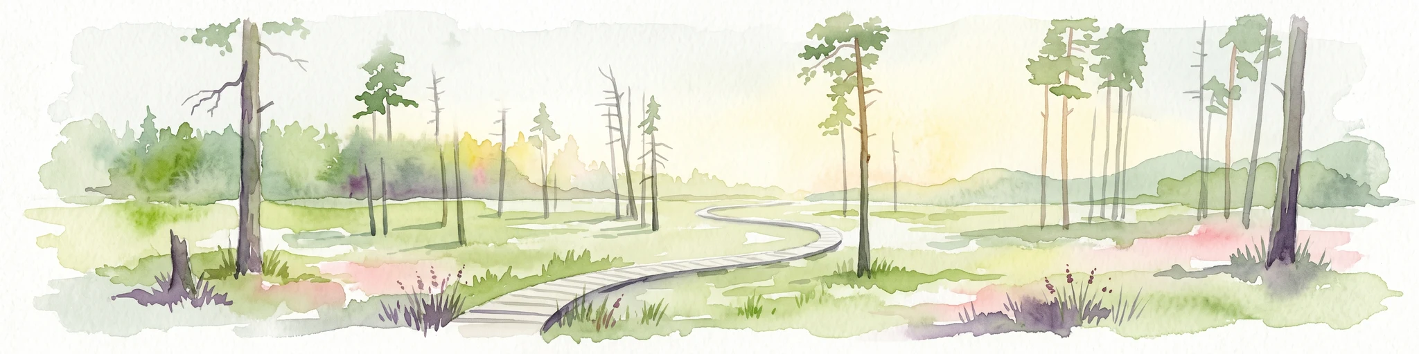
A horizontal watercolor painting of a wooden boardwalk path cutting through a forest clearing with scattered pine trees, rendered in soft light tones.
Nature reserveThuringia
About 40 km away#18 closest

Northwest

Pöllwitzer Wald Nature Reserve: Geographic Overview and Protected Area Mapping

Historic forest landscapes in the Thuringia region

Pöllwitzer Wald represents a dense, historically significant nature reserve located near the Thuringia and Saxony border. This detailed overview covers the essential geographic features, including the unique moorland basin, coniferous forest transitions, and the remnants of early modern log floating infrastructure that shaped the regional topography.

Area
9.62 km²
Relief
Upland
Climate
Temperate
Access
Easy access
Natural monumentKarlovarský kraj
About 41 km away#19 closest

Southeast

Viklan Natural Monument: A Geological Landmark in the Karlovarský kraj Landscape

Exploring the historic balancing granite boulder and surrounding pastoral terrain

Viklan functions as a compact yet iconic natural monument, shielding a prominent 3.5 meter granite boulder from modern disturbance. Set amidst the rolling, short-grass pastures of the Karlovarský kraj, the site serves as a vital point for geological mapping and historical study, documenting both natural weathering processes and long-standing regional folklore tied to this unusual stone formation.

Established
1979
IUCN
III
Relief
Upland
Access
Easy access
Nature reserveKarlovarský kraj
About 44 km away#20 closest

Southwest

Pomezní rybník Nature Reserve: Geographic Overview and Protected Wetland Boundaries

Borderland wetland ecology in the Karlovarský kraj region

Pomezní rybník represents a small but significant nature reserve known for its unique location where the state boundary bisects the central pond. The reserve provides a concentrated habitat for wetland species, featuring a rare botanical assemblage and transitional terrain between the lowland basin and highland slopes of the western Czech Republic.

Area
0.017 km²
Established
1990
Relief
Lowland
Scope
Terrestrial
Distance methodology

Geographic measurements, not driving distances

How nearby park distances are calculated

Distances use park boundaries whenever the available geometry allows it. When one or both boundaries are missing, the mapped park locations provide a clearly labelled estimate. Every value represents straight-line geographic separation and does not use roads or routing.

Boundary distance

Calculated between the nearest points of both park boundaries.

Location-to-boundary estimate

Estimated from one mapped park location to the nearest boundary of the other park.

Mapped-location estimate

Estimated between the mapped locations of both parks.

MoriAtlas Explorer

Continue Exploring the Protected Landscapes and Mountain Geography of Dreibächel

Uncover the rich forest history and stream-fed terrain of Dreibächel through the MoriAtlas structured database. Delve into the specific geographic boundaries and ecological character of this vital Saxon nature reserve to better understand its role within the wider Ore Mountains environment.

Global natural geography