Mori Atlas logo
Park earthquake history

A transparent historical catalogue of regional epicentre proximity and magnitude distributions

Recorded Earthquake History and Seismic Records associated with the Entlebuch Landscape

Review the comprehensive catalogue of recorded seismic events associated by proximity with the Entlebuch region. This collection aggregates historical data including event dates, epicentre locations, calculated distances, and magnitude details sourced from established geological archives. Users can examine historical seismic patterns within the pre-Alpine topography to understand the geographical context of local ground activity over time.

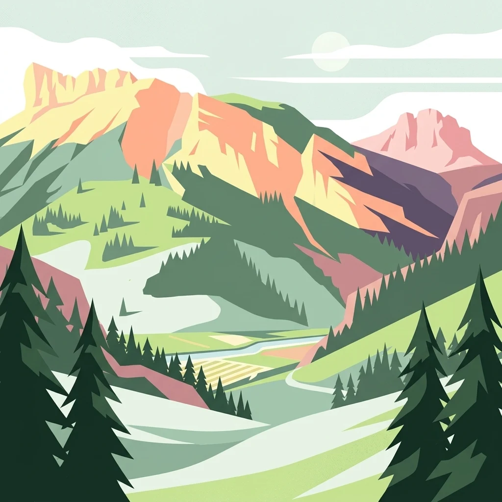
A stylized flat vector illustration of a mountainous landscape with evergreen trees in the foreground, green slopes, a winding path, and jagged peaks in the background under a pale sky.

A UNESCO Biosphere Reserve in the heart of central Switzerland, centered on the upper valley of the Kleine Emme.

UNESCO Biosphere Entlebuch

Entlebuch is a 397 square kilometer Alpine valley region in the canton of Lucerne, Switzerland, forming the main valley of the Kleine Emme between the cities of Bern and Lucerne. Since 2001 the region has been designated a UNESCO Biosphere Reserve under the Seville criteria, making it the second UNESCO biosphere reserve in Switzerland alongside the Swiss National Park and the first in the world to be established through a popular vote with participatory input from the local population. Since 2008 it has also been recognized as a Regional Nature Park of national importance under Swiss park law. The landscape combines extensive forests, agricultural land, alpine pastures, and a high concentration of intact peatlands with the dramatic karst massif of the Schrattenfluh. More than half of the biosphere reserve's total area is under protection, and the region is widely noted for its exceptional biodiversity, rural cultural identity, and ongoing efforts to balance traditional land use with sustainable regional development. Entlebuch is known as much for its community-based approach to conservation as for its natural values. Local products, education programs, and regional tourism initiatives connected to the biosphere reserve are central to how this central Swiss valley presents itself, making it a notable example of how a historically agricultural Alpine region can adapt to the modern demands of conservation and sustainable living.

Location
Switzerland
Park type
Biosphere reserve
Established
2001
Area
397 km²
Entlebuch Biosphere Reserve Atlas

Search Entlebuch observations by date, magnitude, depth, and distance

Investigate recorded earthquake history associated with Entlebuch

Earthquakes associated with Entlebuch are selected through epicentres and distance, not evidence that every record lies within the protected area. Dates, magnitudes, depths, locations, distance measures, and sources preserve a historical trail without attributing landscape effects, declaring seismic causation, describing present hazard, or anticipating events.

Sort by
Magnitude
Location

This page describes catalogued earthquakes associated with the park by epicentre location and distance. It does not establish causation, assess current danger, or predict future earthquakes.

No earthquake records match the current filters

Park atlas

Move from Entlebuch earthquake history to wider park discovery

Find more protected destinations beyond the Entlebuch records

After the historical earthquake records linked with Entlebuch, a standalone destination group provides new atlas routes. Its park pages do not claim common landscapes, legal status, earthquake history, geological context, nearby geography, seismic importance, hazard, risk, or equally detailed source coverage.
Nature reserveKanton Luzern
About 2.1 km away#1 closest

East

Naturschutzgebiet Laubersmad - Salwidili: Exploring a Vast Swiss Moorland and Alpine Reserve

A critical moorland complex in the heart of Kanton Luzern

Spanning over 1,300 hectares, this protected nature reserve in Kanton Luzern constitutes the largest contiguous moorland landscape in Switzerland. The area is defined by a unique geological flysch trough that supports a rich diversity of peatland types, including raised bogs and fens, alongside spruce forest and alpine pasture. As an IUCN Category IV area, it provides essential habitat for endangered mire flora and high-altitude wildlife in a remarkably intact hydrological setting.

Area
13.76 km²
IUCN
IV
Relief
Mountain
Scope
Terrestrial
A soft watercolor painting of a green landscape featuring rolling hills and a winding river with distant mountains in the background.
Nature reserveBern
About 22 km away#2 closest

Southeast

Naturschutzgebiet Gauligletscher: Glacial Landscape and Nature Reserve in Bern

A high-alpine protected area in the Bernese Oberland

Discover the unique geography of Naturschutzgebiet Gauligletscher, a protected area in Bern featuring a wide amphitheater of moraines, glacial lakes, and retreating ice. This site functions as an active laboratory for river dynamics and alpine vegetation colonization across an expansive, mineral-dominated valley floor.

Area
5.7 km²
Established
2001
IUCN
IV
Relief
Mountain
A soft watercolor painting of a river flowing through a green landscape with rolling hills and trees in the distance.
Protected landscapeKanton Bern
About 23 km away#3 closest

Northwest

Aarelandschaft zwischen Thun und Bern: Protected Landscape and River Corridor Geography

Mapping the floodplain remnants of the Aare river corridor

The Aarelandschaft zwischen Thun und Bern protects a unique corridor of riparian forest, wet meadows, and springs along the Aare river. Situated in the Kanton Bern, this landscape retains evidence of historic river engineering alongside ongoing restoration programs that reconnect vital lowland ecosystems. It stands as a significant natural corridor in a densely populated region, marked by its molasse hills and varied alluvial topography.

Area
10.4 km²
Established
1983
Relief
Lowland
Climate
Temperate
A horizontal watercolor painting of a winding river flowing through green rolling hills and wooded areas, with soft-colored mountain silhouettes in the background.
Protected landscapeSwitzerland
About 31 km away#4 closest

North

Aareknie Wolfwil-Wynau: Geographic Profile of a Swiss Protected River Landscape

Mapping dynamic river bends and lowland floodplains in the Swiss Mittelland.

Aareknie Wolfwil-Wynau preserves a rare, non-engineered river reach where the Aare cuts through molasse rock. The area is defined by its active gravel bars, rapids, and federally protected floodplain habitats. This site provides a critical look at how lowland river ecosystems function alongside historic cultural landmarks like the medieval church at Wynau.

Area
1.1 km²
Established
1996
Relief
Lowland
Climate
Temperate
Watercolor painting of soft, rolling alpine terrain, green vegetation, and distant purple-toned mountains under a pale sky.
Nature reserveBern
About 31 km away#5 closest

Southeast

Naturschutzgebiet Mederlouwenen: Alpine Moor and Protected Glacial Terrain in the Bernese Oberland

A high-elevation nature reserve featuring rare flat-moor vegetation and peat-forming bogs.

Naturschutzgebiet Mederlouwenen occupies a distinctive series of glacial granite terraces in the Bernese Oberland, where high-altitude slope bogs and relict conifer forests create a vital refuge for rare alpine flora. This protected area stands as a primary example of Swiss mountain ecology, blending ancient geological history with the fragile, moisture-dependent ecosystems found at the head of the Aare valley.

Area
0.053 km²
Established
2004
IUCN
IV
Relief
Mountain
A soft watercolor painting of a panoramic landscape featuring a marshy fen area in the foreground with distant mountain ranges in the background, rendered in pastel greens, purples, and yellows.
Nature reserveBern
About 32 km away#6 closest

Southeast

Chessibidmer Nature Reserve: Glacial Granite and Protected Alpine Moorland Landscapes

Protected alpine bog and granite terrace in the Bernese Oberland

Chessibidmer offers a detailed look at a nationally significant flat bog and moorland landscape situated above the upper Aare valley in the Bernese Oberland. The area provides an exceptional map of glacial geomorphology, featuring granite domes, rock-bound tarns, and successional peatlands that sit as a protected mosaic within the surrounding high-alpine terrain of the Swiss Alps.

Area
0.5 km²
Established
1998
IUCN
IV
Relief
Mountain
Watercolor painting of a green landscape with rolling hills, meadows, and a water body in the foreground against a light background.
Protected areaSwitzerland
34 km away#7 closest

East

Rhonegletschervorfeld Protected Area: Alpine Glacier Geography and Mapping

Proglacial landscape and glacial history in the Swiss Alps.

The Rhonegletschervorfeld provides an unparalleled view into the geomorphology of the Swiss Alps, showcasing a continuous record of ice loss through moraines, exposed bedrock, and emerging meltwater systems. Situated near the Furka Pass, this protected area serves as an essential reference for glaciology, offering a clear visual timeline of glacier retreat that has shaped modern alpine tourism and climate science. Explore the mapped terrain where the Rhone River headwaters emerge from the retreating ice.

Area
13.58 km²
Relief
Mountain
Climate
Alpine
Access
Easy access
A watercolor painting showing a panoramic view of layered rolling hills and mountains in purple, green, and yellow hues against a white background.
Protected landscapeSwitzerland
About 38 km away#8 closest

Southwest

Diemtigtal: Protected Alpine Landscape in the Bernese Oberland, Switzerland

Mapped valley geography and mountain terrain context

Explore the structured geography of Diemtigtal, a regional nature park in the Bernese Oberland. This valley landscape is defined by its enclosed U-shaped topography, the Niesenkette skyline, and a network of traditional settlements nested between mountain ridges and alpine streams. Gain insight into the protected boundaries and the distinctive terrain of this Swiss Alpine region.

Established
2009
Relief
Mountain
Climate
Alpine
Scope
Terrestrial
MoriAtlas Explorer

Continue Your Geographic Exploration of the Entlebuch Biosphere Reserve

Gain deeper insights into the Entlebuch Biosphere Reserve by examining its mapped boundaries and diverse alpine terrain. Through the MoriAtlas data, visualize the intersection of protected wetlands and rugged karst geology in the heart of the Lucerne canton.

Global natural geography