Mori Atlas logo
Nearby park discovery

Geographic overview of surrounding protected areas and mapped park terrain

Regional Protected Landscapes and Parks Near Exchamsiks River Provincial Park

Examine the geographic distribution of protected lands in the vicinity of Exchamsiks River Provincial Park. Gain insight into the regional landscape context by comparing proximity, terrain, and the surrounding network of provincial parks located along the British Columbia north coast.

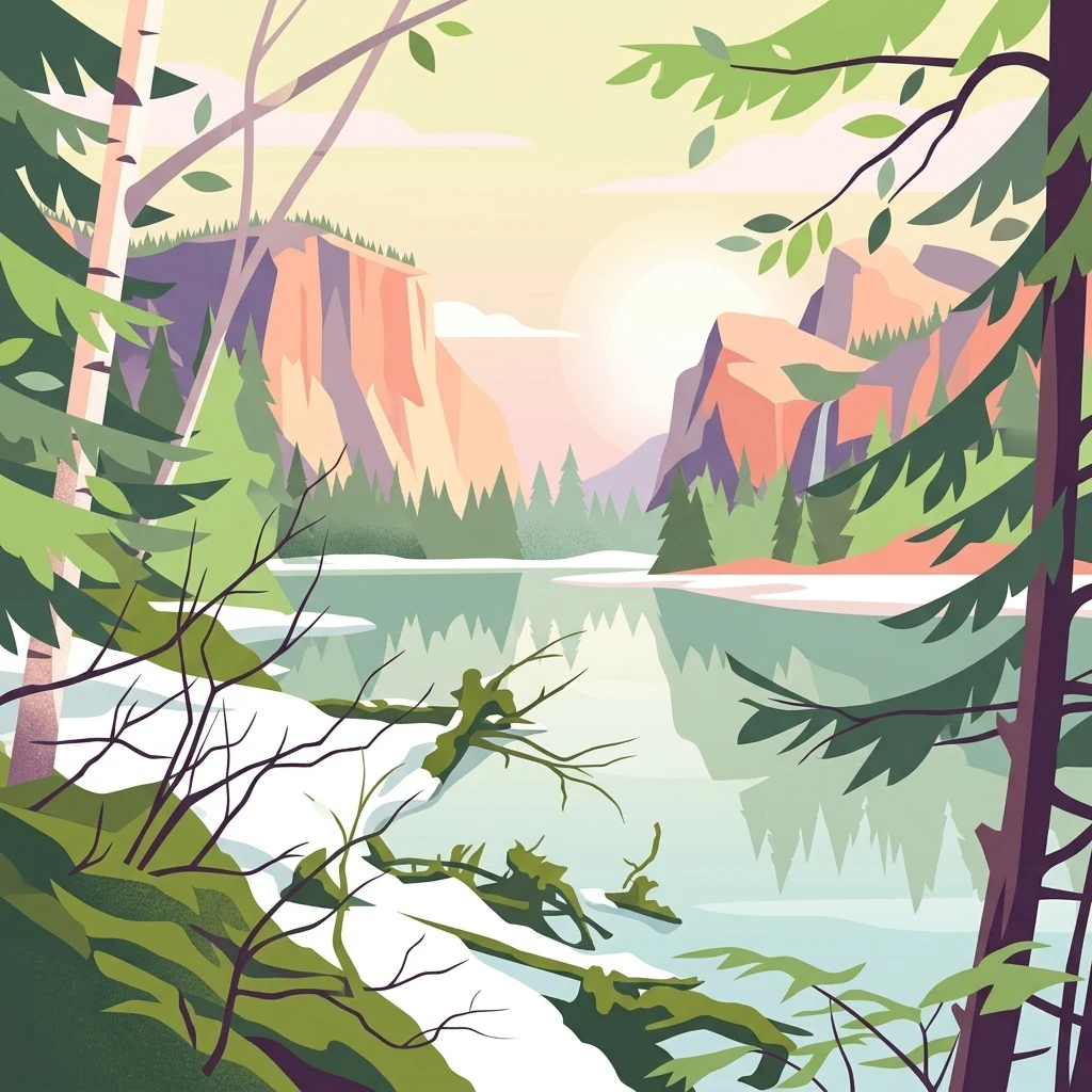
A flat-style digital illustration of a serene river flowing through a mountain valley, viewed from a shoreline with snow and coniferous trees in the foreground.

A small coastal British Columbia park protecting one of the last unlogged old-growth Sitka spruce forests along the Skeena River.

Exchamsiks River Provincial Park

Exchamsiks River Provincial Park is a small protected area in British Columbia, Canada, situated on the north side of the Skeena River between the communities of Terrace and Prince Rupert. The park occupies a relatively compact footprint at the mouth of the Exchamsiks River where it meets the larger Skeena, a region characterized by the maritime influence of the Pacific coast and the heavy rainfall that defines the temperate rainforest of the province's northwest. The park's principal conservation significance lies in its protection of one of the last known unlogged old-growth maritime coastal forests dominated by Sitka spruce in association with salmonberry understory. This type of ecosystem has been heavily reduced elsewhere along the coast, making the Exchamsiks lowlands an important reference site for the region's natural history. Beyond its ecological role, the park is used by visitors as an accessible day-use area offering river access, short walking trails through coastal rainforest, and salmon fishing on both the Exchamsiks and Skeena rivers. It does not provide camping facilities, keeping its character oriented toward short visits and local recreation rather than extended backcountry stays.

Location
Canada
Park type
State or regional park
Established
1956
Area
0.2 km²
Exchamsiks River Provincial Park Map
Regional park map

See the ranked park cluster in its geographic setting

Nearby parks around Exchamsiks River Provincial Park

This regional map shows the same 20 nearby parks ranked below around Exchamsiks River Provincial Park. Select a ranked marker to highlight that park’s boundary where boundary data is available.
Reference park: Exchamsiks River Provincial ParkRanked nearby park20 nearby parks shown
20 nearby parks

Regional distance rankings and surrounding protected landscape comparisons

Parks and Protected Areas Geographically Near Exchamsiks River Provincial Park

Browse nearby protected areas ranked by geographic proximity to Exchamsiks River Provincial Park using boundary-derived separation metrics. Compare surrounding regional landscapes and environmental characteristics across the wider provincial territory.
State or regional parkBritish Columbia
About 45 km away#1 closest

Northwest

Khutzeymateen Provincial Park: Protected Wilderness and Coastal Forest Geography

North Coast British Columbia protected area and estuary map.

Khutzeymateen Provincial Park represents a pivotal conservation achievement on the British Columbia North Coast. This wilderness sanctuary protects a critical estuarine complex where rugged mountain ranges meet a sheltered Pacific inlet. Beyond its designation as a grizzly bear stronghold, the park holds globally significant old-growth Sitka spruce forests, providing a rare look at an intact temperate rainforest landscape.

Area
450.52 km²
Established
1994
IUCN
Ib
Relief
Mountain
A soft watercolor painting of a winding river flowing through a lush, green landscape with forested hills in the background.
Nature reserveBritish Columbia
About 49 km away#2 closest

West

Gamble Creek Ecological Reserve: Protected Nature Reserve Geography and Forest Map

British Columbia North Coast forest and peatland research landscape.

Situated on the North Coast of British Columbia, Gamble Creek Ecological Reserve is a designated nature reserve comprising forest and bog ecosystems. The protected area serves as an important site for studying plant communities, including sphagnum moss and coastal bog species, within a unique altitudinal transition between coastal hemlock and subalpine zones.

Area
10.26 km²
Established
1991
IUCN
Ia
Relief
Mixed relief
State or regional parkBritish Columbia
About 55 km away#3 closest

Northeast

Kitsumkalum Provincial Park: Geography and Landscape Atlas of Northern British Columbia

Mapped protected areas and forest terrain in the Skeena region

Kitsumkalum Provincial Park serves as a compact protected node within the mountainous landscape of northern British Columbia. This record details the park's transition from lake to river outlet, the surrounding coniferous forests, and the geographic significance of the Skeena watershed. Gain spatial insight into the park boundaries and the historical context of its shoreline where early homesteading once flourished.

Area
0.4 km²
Established
1946
IUCN
II
Relief
Lowland
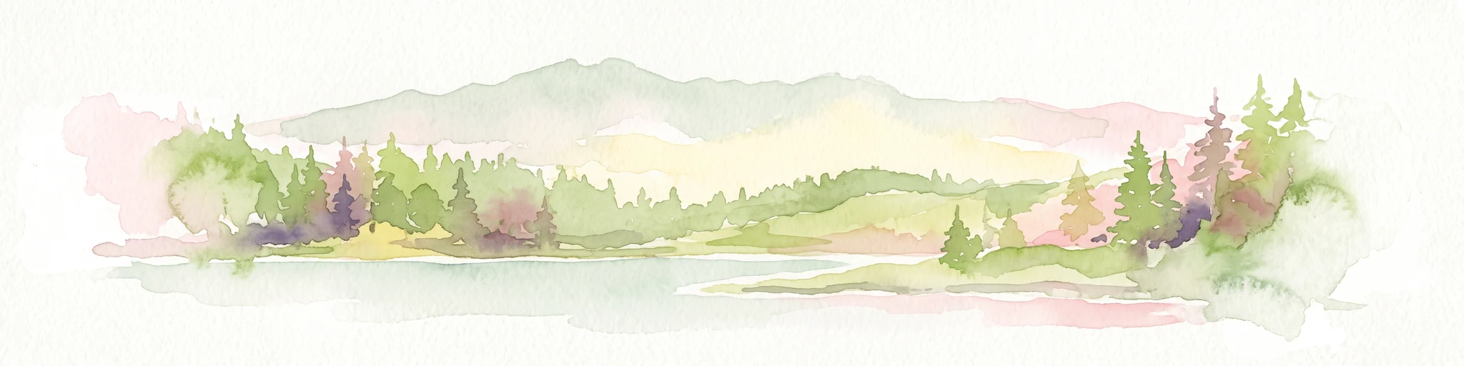
A watercolor painting showing a lake, a forested shoreline, and distant mountains in a soft palette.
State or regional parkBritish Columbia
About 58 km away#4 closest

West

Diana Lake Provincial Park: Mapping Coastal Rainforest and Wetland Geography in British Columbia

An examination of North Coast forest and freshwater ecosystems

Diana Lake Provincial Park represents a significant protected area in British Columbia, showcasing the diverse ecological character of the North Coast. The park boundary encompasses a mosaic of old-growth rainforest, open blanket bogs, and freshwater aquatic systems. By protecting these varied terrains, the region maintains vital habitats for Pacific salmon species while providing a structured landscape for understanding the wet maritime environment of the Pacific Northwest.

Area
2.33 km²
Established
1980
IUCN
II
Relief
Upland
A soft watercolor illustration depicting a winding creek bordered by pine forests, with rolling mountains in the background, set against a plain white background.
State or regional parkBritish Columbia
About 65 km away#5 closest

Northeast

Kleanza Creek Provincial Park: Coast Mountains Canyon and Salmon Protected Landscape

Regional protected geography in northwestern British Columbia

Kleanza Creek Provincial Park offers an intimate look at a rugged Coast Mountains landscape. The area is defined by its deep, forested rock canyons and the cascading waters of Kleanza Creek, which serve as essential habitat for spawning pink salmon. This protected site retains historical significance from nineteenth-century placer mining and provides a compact example of the complex terrain found in this part of British Columbia.

Area
2.69 km²
Established
1956
Relief
Mountain
Climate
Temperate
Watercolor painting of a coastal scene with green islands, coniferous trees, and soft, hazy mountains in the background, set against a white background.
Marine protected areaBritish Columbia
About 69 km away#6 closest

West

Kitson Island Marine Provincial Park Map and Coastal Protected Area Atlas

Protected island and estuarine landscape in British Columbia

Kitson Island Marine Provincial Park encompasses a vital coastal island and the adjacent Flora Bank at the mouth of the Skeena River. This protected marine environment provides a rare example of accessible sandy beach terrain on the North Coast. Use this atlas resource to understand the park boundaries, island geography, and estuarine interface within the broader Inside Passage conservation network.

Area
0.45 km²
Established
1993
IUCN
II
Relief
Lowland
A horizontal watercolor painting showing a calm inlet surrounded by forested hills and distant mountains.
State or regional parkBritish Columbia
About 77 km away#7 closest

South

Klewnuggit Inlet Marine Provincial Park: Regional Geography and Protected Area Mapping

Coastal inlet, freshwater lakes, and northern forest ecosystems.

Klewnuggit Inlet Marine Provincial Park showcases the dramatic meeting of mountain, forest, and sea. Spanning from the sheltered waters of the Grenville Channel to inland freshwater systems, the park offers a detailed study of northern coastal geography, fjord-like marine channels, and diverse bird and marine wildlife habitats.

Area
18 km²
Established
1993
IUCN
II
Relief
Mixed relief
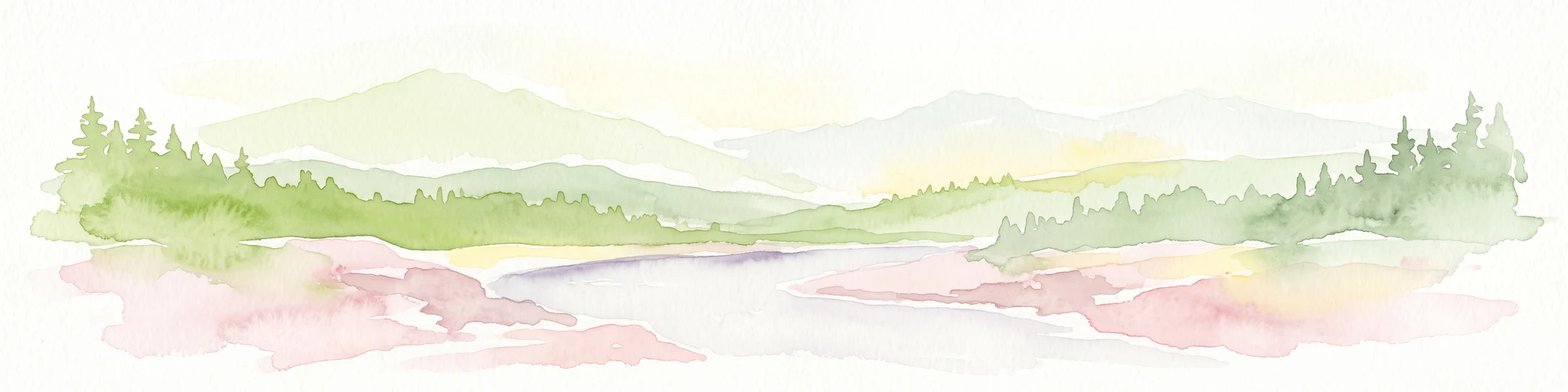
A soft, light watercolor painting of a winding river flowing through a forested valley with distant, muted mountain ranges under a pale sky.
Protected areaBritish Columbia
About 140 km away#8 closest

Southeast

Kitlope Heritage Conservancy: Coastal Temperate Rainforest and Mountain Watersheds

A vast protected area in the Kitimat-Stikine region of British Columbia

Spanning from the Gardner Canal to glaciated inland summits, the Kitlope Heritage Conservancy protects an entire, undisturbed watershed. It is defined by its transition from saltwater fjords through ancient, salmon-bearing river valleys to high granite peaks, acting as a vital benchmark for coastal ecosystem integrity in the Pacific Northwest.

Area
3,220.2 km²
Established
1996
IUCN
Ib
Relief
Mountain
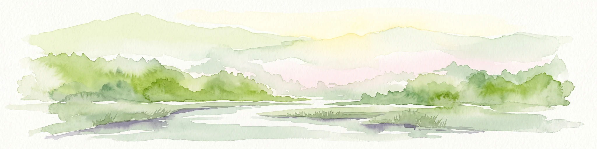
A soft watercolor painting of a serene coastal landscape with distant green hills, calm water, and foreground grasses, rendered in a minimalist style on a white background.
Protected areaBritish Columbia
About 186 km away#9 closest

Southeast

Fiordland Conservancy Protected Area: Mapping British Columbia's Glacial Fjord Coastline

A remote coastal wilderness in the Kitimat Ranges

Fiordland Conservancy guards an important stretch of the central British Columbia coast, where the steep, forested slopes of the Kitimat Ranges meet deep marine inlets. Known for its role in protecting the province's fjord environments, the area consists of an undeveloped, roadless landscape accessible only by sea, showcasing a dramatic transition from tidal shorelines to high mountain peaks.

Area
768.25 km²
Established
1987
IUCN
Ib
Relief
Mountain
Protected landscapeBritish Columbia
About 212 km away#10 closest

West

Duu Guusd Heritage Site/Conservancy: Coastal Geography and Protected Land Map

A unified land and sea protected landscape in Haida Gwaii, British Columbia

Spanning over 227,000 hectares, Duu Guusd Heritage Site/Conservancy creates a massive protected corridor along the Pacific coast of British Columbia. This area links terrestrial forest ecosystems with marine waters, preserving complex island landscapes and significant Haida cultural sites throughout the northwestern corner of Graham Island.

Area
2,277.12 km²
Established
2008
IUCN
II
Relief
Mixed relief
National parkHaida Gwaii
About 229 km away#11 closest

Southwest

Gwaii Haanas National Park Reserve and Haida Heritage Site: National Park Protected Area

Explore the mapped geography and landscape context of Haida Gwaii.

Gwaii Haanas National Park Reserve and Haida Heritage Site offers a clear view of a protected national park's landscape and geographic positioning. This page provides detailed information on its specific boundaries and its location within the Haida Gwaii region, serving as a key point for understanding protected land distribution and regional geography through an atlas lens.

Area
1,470 km²
Established
1988
IUCN
II
Relief
Mountain
State or regional parkBritish Columbia
About 256 km away#12 closest

Northwest

Lava Forks Provincial Park: Geological Mapping and Protected Area Overview

Remote volcanic wilderness in northern British Columbia

This protected area preserves the fresh geological features created by the 1904 eruption of The Volcano. The site offers a detailed look at ash dunes, lava flows, and water-filled potholes within a remote northern British Columbia setting. Use this atlas resource to examine the park boundaries and the unique terrain that characterizes this significant transboundary conservation landscape.

Area
74.63 km²
Established
2001
IUCN
III
Relief
Mountain
Wildlife reserveAlaska
About 278 km away#13 closest

West

Forrester Island Wilderness: Mapped Protected Landscapes and Wildlife Reserve Geography

Isolated island terrain in the Alaska Maritime National Wildlife Refuge

This remote wilderness area in Alaska features a mountainous, forested profile and sheer coastal cliffs that drop directly into the Pacific Ocean. Its protected boundaries are vital for maintaining undisturbed marine mammal habitat and temperate coastal forest ecosystems, offering a distinct example of isolated island geography within the United States.

Area
10.29 km²
Established
1912
Relief
Upland
Climate
Temperate
Protected areaBritish Columbia
About 290 km away#14 closest

South

Hakai Lúxvbálís Conservancy: Protected Coastal Landscapes and Geography in British Columbia

Coastal wilderness, island terrain, and marine foreshore habitats

Spanning over 51,000 hectares of upland, Hakai Lúxvbálís Conservancy is defined by its connection between forested island ridges and the Pacific marine environment. This protected area on the British Columbia Central Coast offers a deep look into temperate rainforest geography and indigenous-led conservation frameworks that prioritize ecosystem integrity across island and sea.

Area
1,229.98 km²
Established
2008
IUCN
II
Relief
Lowland
State or regional parkBritish Columbia
About 321 km away#15 closest

Northwest

Great Glacier Provincial Park: Glacial Geography and Protected Wilderness in Northern British Columbia

A rugged mountain landscape within the Stikine River corridor.

Great Glacier Provincial Park protects a compact, visually intense glacial environment along the Stikine River. Established to preserve the dramatic Great Glacier as it descends from the Boundary Ranges, this protected area features deep river valleys, steep mountainous slopes, and a unique ecological transition zone near the international border.

Area
93 km²
Established
2001
IUCN
II
Relief
Mountain
Nature reserveBritish Columbia
About 363 km away#16 closest

North

Gladys Lake Ecological Reserve: Remote Wilderness and Alpine Geography in British Columbia

Scientific reference area on the Spatsizi Plateau

Explore the expansive geography of Gladys Lake Ecological Reserve, a major protected area located in the remote interior of British Columbia. This reserve provides a strictly preserved natural landscape defined by high-elevation ridges, subalpine transitions, and the pristine wilderness of the Eaglenest Range, serving as a benchmark for ecological research in Canada.

Area
440.98 km²
Established
1975
IUCN
Ia
Relief
Mountain
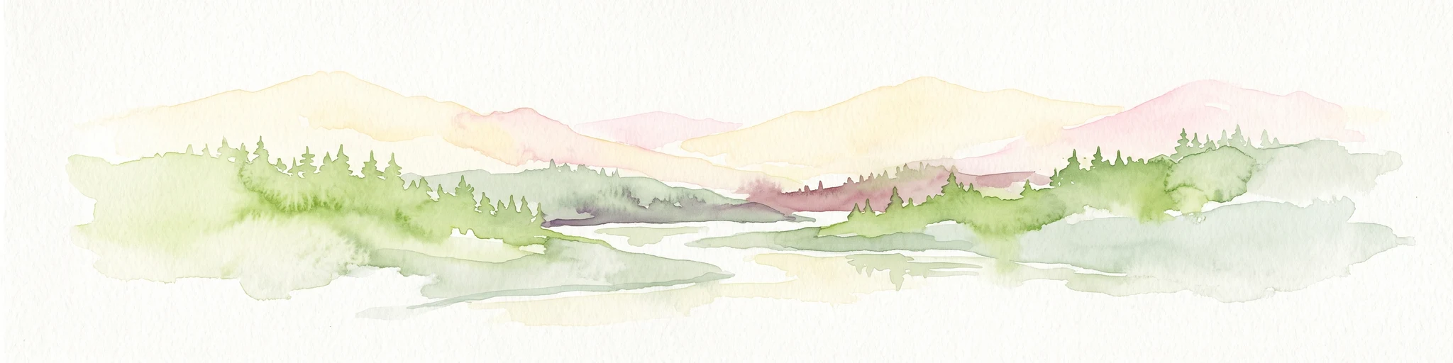
A minimalist watercolor painting showing layered hills and coastal terrain in soft shades of green, gray, and pink, resembling the Alaskan wilderness.
Wildlife reserveAlaska
About 374 km away#17 closest

Northwest

Kuiu Wilderness: An Alaska Protected Area of Temperate Rainforest and Fjord Geography

A remote wilderness expanse within the Alexander Archipelago

The Kuiu Wilderness serves as a primary example of coastal conservation in Alaska, offering a vast roadless territory that spans from sea level to alpine elevations. Mapped through a series of deep fjords and temperate rainforests, this reserve provides a critical look at the complex landscape transitions that define the ecology of the Alexander Archipelago.

Area
245.16 km²
Established
1990
Relief
Mountain
Climate
Temperate
State or regional parkBritish Columbia
About 407 km away#18 closest

Northeast

Finlay-Russel Provincial Park and Protected Area: Mapping Northern British Columbia Wilderness

A remote river corridor in the Muskwa-Kechika Management Area.

Located in northern British Columbia, Finlay-Russel Provincial Park and Protected Area preserves an essential 85-kilometre river corridor along the Finlay River. This expansive wilderness territory serves as an integral part of the Muskwa-Kechika Management Area, showcasing deep boreal forest landscapes and rugged river valley terrain far from established road networks.

Area
1,092.05 km²
Established
2001
IUCN
II
Access
Remote access
State or regional parkBritish Columbia
About 423 km away#19 closest

South

Raft Cove Provincial Park: Coastal Wilderness and Protected Landscapes in British Columbia

Rugged shorelines and temperate rainforest terrain

Raft Cove Provincial Park protects a wild segment of Vancouver Island's northwestern coast. The region features a crescent-shaped sandy beach, significant river estuaries, and dense western hemlock forests. This protected area offers insight into the isolated coastal geography and the raw Pacific marine influences that shape the local wilderness terrain.

Area
7.87 km²
Established
1990
IUCN
II
Relief
Lowland
State or regional parkBritish Columbia
About 429 km away#20 closest

Northeast

Graham-Laurier Provincial Park: Protected Boreal Landscape and Geographic Context

Remote wilderness exploration in the Peace River region

Graham-Laurier Provincial Park represents a massive, intact wilderness area in northeastern British Columbia. Defined by boreal forests, undulating ridges, and the cascading waters of Christina Falls, this region serves as a crucial natural refuge within the Muskwa-Kechika Management Area. Access is centered on rugged forest service roads and backcountry trails, making the area a primary destination for self-reliant exploration and terrain study.

Area
999.82 km²
Established
1999
IUCN
II
Relief
Mountain
Distance methodology

Geographic measurements, not driving distances

How nearby park distances are calculated

Distances use park boundaries whenever the available geometry allows it. When one or both boundaries are missing, the mapped park locations provide a clearly labelled estimate. Every value represents straight-line geographic separation and does not use roads or routing.

Boundary distance

Calculated between the nearest points of both park boundaries.

Location-to-boundary estimate

Estimated from one mapped park location to the nearest boundary of the other park.

Mapped-location estimate

Estimated between the mapped locations of both parks.

MoriAtlas Explorer

Continue Exploring the Protected Landscapes of Exchamsiks River Provincial Park

Trace the geography of the Skeena River estuary and gain a deeper understanding of the old-growth Sitka spruce forests preserved within Exchamsiks River Provincial Park. MoriAtlas provides a structured view of these coastal ecosystems for those interested in the regional natural history of British Columbia.

Global natural geography