Mori Atlas logo
Nearby park discovery

Geographic distribution of nearby reserves and protected woodland corridors

Protected Areas and Natural Landscapes Near Fauler See/Markendorfer Wald in Brandenburg

Identify the regional network of protected spaces located within the vicinity of Fauler See/Markendorfer Wald. This overview maps the geographic proximity of surrounding nature reserves, highlighting how these distinct forest and lake habitats connect across the Brandenburg lowland terrain.

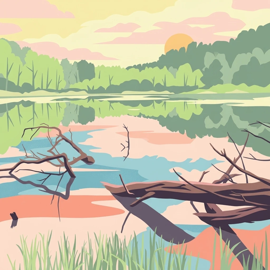
A flat-style digital illustration depicting a calm lake surrounded by forest at sunset. In the foreground, fallen tree trunks extend into the water, and reeds grow along the shore. The scene features soft pastel colors and a reflective water surface.

A small Brandenburg nature reserve combining a forest-framed lake with protected woodland near Frankfurt (Oder).

Fauler See/Markendorfer Wald

Fauler See/Markendorfer Wald is a protected nature reserve in the German state of Brandenburg, within the city limits of Frankfurt (Oder). Designated in late 2002 under the official safeguarding order of 20 December 2002, the reserve is officially listed as a Naturschutzgebiet, Germany's strictest category of nature protection, with a registry code of 1526 and an area of roughly 171 hectares. The reserve's defining feature is the Fauler See, a small lake set within a surrounding forested landscape, the so-called Markendorfer Wald. The protected area lies southwest of the central city of Frankfurt (Oder), at the northeastern edge of the Markendorf district, and forms part of a network of nature reserves that shape the outskirts of the city. Although modest in size, the area is significant within the regional context of Brandenburg because it integrates lake habitat with woodland ecosystems on the urban fringe. Its accessibility from nearby federal highways and its proximity to a sizable city make it an example of how small-scale nature reserves can serve as refuges for local biodiversity within otherwise heavily used landscapes.

Location
Germany
Park type
Nature reserve
Established
2003
Area
1.7 km²
Fauler See/Markendorfer Wald Nature Reserve Map
Regional park map

See the ranked park cluster in its geographic setting

Nearby parks around Fauler See/Markendorfer Wald

This regional map shows the same 20 nearby parks ranked below around Fauler See/Markendorfer Wald. Select a ranked marker to highlight that park’s boundary where boundary data is available.
Reference park: Fauler See/Markendorfer WaldRanked nearby parkSelected boundary: Fauler See/Markendorfer Wald20 nearby parks shown
20 nearby parks

Ranked spatial proximity, direction, and regional landscape context

Parks and Protected Areas Geographically Near Fauler See/Markendorfer Wald

Examine the ranked collection of nearby protected areas structured by direct geographic separation and spatial direction from Fauler See/Markendorfer Wald. Compare surrounding conservation lands to understand broader environmental patterns across the regional lowland terrain.
Nature reserveBrandenburg
3.5 km away#1 closest

Northeast

Fledermausquartier Brauereikeller Frankfurt (Oder) Nature Reserve and Protected Landscape

Urban bat conservation site in Brandenburg, Germany

The Fledermausquartier Brauereikeller Frankfurt (Oder) encompasses 1.34 hectares of protected land, centered on a historic brewery ruin that has become a vital habitat for hibernating bats. By leveraging specialized microclimates within brick cellars and maintaining a protective green buffer, the reserve functions as a landmark for urban wildlife preservation and transboundary conservation efforts in Brandenburg.

Area
0.013 km²
Established
2006
IUCN
IV
Relief
Lowland
A watercolor painting showing a quiet wetland with calm water, scattered dark tree stumps, reeds in the foreground, and rolling green hills in the distance under a pale sky.
Nature reserveBrandenburg
6.5 km away#2 closest

North

Booßener Teichgebiet Nature Reserve: Regional Geography and Protected Landscape Analysis

Glacial meltwater valleys and pond ecosystems in eastern Brandenburg

Discover the geographic footprint of Booßener Teichgebiet, a 104-hectare nature reserve in Brandenburg. This protected area features a unique combination of managed stream corridors, impoundment ponds, and xerothermic biotopes nestled within a glacial meltwater valley near the German-Polish border.

Area
1.04 km²
Established
2008
IUCN
IV
Relief
Lowland
Watercolor painting showing a winding river through a wetland with trees and hills in the background.
Nature reserveLubusz Voivodeship
About 15 km away#3 closest

Northeast

Mokradła Sułowskie Nature Reserve: Mapping Wetland Protected Areas in Lubusz Voivodeship

A comprehensive geographic atlas of Polish peatland and forest marsh habitats

The Mokradła Sułowskie nature reserve protects a vital cluster of eutrophic lakes and waterlogged mires in western Poland. This atlas entry provides a detailed look at its unique landscape, where divided northern and southern sections showcase diverse stages of marshland succession and regional biodiversity within the broader Lubusz Voivodeship.

Area
0.451 km²
Established
1990
Water
Water-dominated
Protected landscapePoland
16 km away#4 closest

North

Park Krajobrazowy Ujście Warty: Protected Landscape and River Valley Atlas

Mapping wetland ecosystems and floodplain geography in western Poland

Park Krajobrazowy Ujście Warty preserves a significant lowland river valley landscape characterized by vast open pastures, marshes, and rare riparian oak forests. Located primarily within the Lubuskie region, this protected area offers a clear view into the floodplain processes of the Warta river basin, providing a distinct geographic context for wetland conservation and waterbird habitat mapping in Poland.

Area
194.96 km²
Established
1996
Relief
Lowland
Climate
Temperate
A horizontal watercolor illustration showing soft, pastel-colored rolling hills and a calm lake or pond in the foreground, surrounded by grassy banks.
Nature reserveBrandenburg
About 26 km away#5 closest

West

Beerenbusch Nature Reserve: Geographic Profile and Protected Woodland Landscapes of Brandenburg

Mapping forest boundaries in the German lowlands

Located in the Oder-Spree district, Beerenbusch protects rare oak-hornbeam and alder swamp forest ecosystems. This profile details the reserve landscape, cultural landmarks like the Königskiefer, and its importance as a surviving woodland refuge within the Brandenburg forest belt.

Area
0.7 km²
Established
1967
IUCN
IV
Relief
Lowland
Nature reserveLubusz Voivodeship
About 27 km away#6 closest

Southeast

Młodno Nature Reserve: Mapped Protected Peatland and Wetland Landscapes in Lubusz Voivodeship

Geographic analysis of lowland mire and pine forest mosaic

Examine the territorial footprint of Młodno Nature Reserve in western Poland. This site offers insight into deep-sediment organic basins and the ecological transition zones between marshland and pine-dominated woodlands within the Torzym Plain.

Area
0.929 km²
Established
1988
Relief
Lowland
Scope
Terrestrial
Nature reserveBrandenburg
About 28 km away#7 closest

Southwest

Dammühlenfließniederung Nature Reserve: Brandenburg Protected Land and Geography Atlas

Floodplain and riparian habitats in the Niederlausitz region

Explore the geographic framework of Dammühlenfließniederung, an essential nature reserve in eastern Brandenburg. This area safeguards the Dammühlenfließ stream valley and a segment of the Schwielochsee lakeshore, representing the unique glacial lowlands of the region through a focused wetland and floodplain corridor.

Area
0.79 km²
Established
1998
IUCN
IV
National parkLubusz Voivodeship
29 km away#8 closest

Northeast

Park Narodowy „Ujście Warty” National Park: Regional Geography and Wetland Landscapes

A major protected riparian and floodplain zone in western Poland

Located in the Lubusz Voivodeship, Park Narodowy „Ujście Warty” features an extensive network of wetlands, marshes, and meadows at the Warta and Oder confluence. This atlas entry provides essential geographic context for the park's lowland terrain and riverine ecosystems, which are defined by constant shifts in water levels and seasonal flooding patterns that sustain dense bird populations.

Area
80.74 km²
Established
2001
Visitors
52K annual
Relief
Lowland
Watercolor illustration showing a river winding through rolling green hills with sparse vegetation
National parkLubusz Voivodeship
29 km away#9 closest

Northeast

Warta Mouth National Park: A National Park Protecting Vital European Wetlands

Explore mapped protected areas and bird habitats in Lubusz Voivodeship.

Warta Mouth National Park, located in Poland's Lubusz Voivodeship, is a significant protected landscape safeguarding the ecologically rich confluence of the Warta and Oder rivers. As the nation's most recently established national park, it provides critical habitat for a vast array of migratory and breeding bird species within its extensive marshlands and floodplains. This park offers a unique opportunity for atlas-driven exploration of Central European wetland geography and the mapped boundaries of a vital conservation area.

Area
80.38 km²
Established
2001
IUCN
II
Visitors
52K annual
Protected areaLubusz Voivodeship
About 29 km away#10 closest

Northeast

Ujście Warty Protected Area: Geography and Landscape Atlas of the Warta River Valley

Natura 2000 wetland and floodplain mapping in Lubusz Voivodeship

Examine the physical geography of Ujście Warty, a major lowland protected area in western Poland. This landscape features a unique layering of river arms, alluvial forests, and dry grasslands, serving as a vital ecological corridor within the broader Oder basin. Use this mapped overview to study the terrain features and structural connectivity of these significant floodplain habitats.

Area
332.15 km²
Water
Water-dominated
A watercolor painting showing a panoramic view of the Spree River mouth with green trees, reeds, and marshy water areas.
Nature reserveBrandenburg
31 km away#11 closest

Southwest

Alte Spreemündung Nature Reserve: Protected Wetland and River Geography in Brandenburg

A preserved mosaic of river mouths and lake shorelines

Alte Spreemündung serves as a focal point for understanding the transition between the River Spree and the Schwielochsee in Brandenburg. This protected area covers a compact, water-shaped terrain characterized by riparian habitats and ancient river arms. It remains a key site for examining the glacial geomorphology and lowland water dynamics prevalent across northeastern Germany.

Area
1.08 km²
Established
1990
IUCN
IV
Soft, muted watercolor illustration depicting a marshy, low-lying landscape with gentle hills in the background and grassy vegetation in the foreground.
Nature reserveBrandenburg
33 km away#12 closest

Southwest

Dammer Moor Nature Reserve: Protected Wetland and Mire Landscapes in Brandenburg

Geographic overview of a rare Natura 2000 watershed habitat

Dammer Moor features a distinctive calcareous valley mire characterized by calcium mudde, forming a vital protected mosaic within the Lieberose area of Brandenburg. This reserve supports a diverse range of habitats including base-rich Molinion meadows, old oak woodlands, and alder-ash riparian zones that provide essential refuge for numerous amphibian and reptile species.

Area
1.807 km²
Established
1990
IUCN
IV
Relief
Lowland
A soft watercolor painting of a wetland featuring grassy foregrounds, a winding stream, distant rolling hills, and a pale sky.
Protected areaBrandenburg
About 34 km away#13 closest

Southwest

Reichardtsluch Protected Area: A Wetland Geography Overview in Brandenburg, Germany

Glacial moraine terrain and seasonal amphibian habitats

Reichardtsluch acts as a vital, two-hectare wetland refuge within the Beeskower Platte region of Brandenburg. This protected landscape is defined by its dramatic seasonal hydrology, alternating between full inundation and dry spells. The site remains a core component of the broader Natura 2000 network, offering insight into postglacial drainage patterns and forest-fringed amphibian breeding ecology in eastern Germany.

Area
0.29 km²
Established
2003
Relief
Lowland
Climate
Temperate
Nature reserveLubusz Voivodeship
About 35 km away#14 closest

East

Rezerwat przyrody Dolina Ilanki II: Protected Peatland and River Valley Geography

A vital nature reserve within the Ilanka River corridor

Rezerwat przyrody Dolina Ilanki II represents a key ecological site in the Lubusz Voivodeship. Focused on the conservation of spring-fed mires and alder swamp forests, the reserve forms a critical part of the larger Ilanka valley habitat network. Discover the terrain characteristics and mapped extent of this protected lowland wetland.

Area
0.113 km²
Established
2017
Relief
Lowland
Scope
Terrestrial
Nature reserveLubusz Voivodeship
About 35 km away#15 closest

East

Rezerwat przyrody Jezioro Ratno: Nature Reserve and Wetland Geography in Lubusz Voivodeship

Tracing aquatic-terrestrial transitions in western Poland

Located within the Równina Torzymska, Rezerwat przyrody Jezioro Ratno preserves a rare cutrophic lake ecosystem in the process of natural infilling. This nature reserve provides essential protected ground for soligenous peatlands, spring habitats, and riverine networks, offering a clear window into the post-glacial hydrological patterns of the Polish lowlands.

Area
0.487 km²
Established
2017
Relief
Lowland
Scope
Terrestrial
A horizontal watercolor painting showing layers of soft-toned hills in green and purple, with tall blades of grass in the foreground.
Nature reserveBrandenburg
36 km away#16 closest

Northwest

Klobichsee Nature Reserve: Protected Landscape and Glacial Lake Geography in Brandenburg

Mapping aquatic ecosystems and protected boundaries in eastern Germany

Klobichsee Nature Reserve covers roughly 5.59 square kilometers, centering on the Großer Klobichsee and Kleiner Klobichsee glacial lakes. This protected area in Brandenburg preserves essential forest and wetland habitats, maintaining the ecological character of the region situated between Buckow and Münchehofe.

Area
5.59 km²
Established
1990
IUCN
IV
Climate
Temperate
A watercolor illustration of an open dune landscape with soft yellow sand, green grass, and scattered trees under a light sky.
Nature reserveBrandenburg
36 km away#17 closest

West

Binnendüne Waltersberge: Nature Reserve and Glacial Landscape in Brandenburg

Exploring inland sand dune geography and protected habitat boundaries.

Binnendüne Waltersberge is a significant nature reserve representing the glacial history of Brandenburg. Its terrain features a wave-like sand ridge that contrasts bare, sun-exposed surfaces with lichen-rich pine forests. This site serves as an essential example of psammophilic ecosystem restoration and regional geomorphology within the Oder-Spree landscape.

Area
0.14 km²
Established
1990
Relief
Upland
Climate
Temperate
Nature reserveBrandenburg
37 km away#18 closest

Northwest

Stobbertal Nature Reserve: Geography, Mapped Boundaries, and Protected Landscape Context

A detailed geographic study of the Stöbber river valley in Brandenburg, Germany

Stobbertal represents a compact yet ecologically dense protected area in Brandenburg. This study provides access to information regarding its diverse forest and wetland habitats, ranging from ancient oak-hornbeam woodlands to rare floodplain remnants. Gain insight into the regional importance of the river corridor, its hydrologic features, and the protected species that inhabit this distinct northeastern German landscape.

Area
8.84 km²
Established
1990
IUCN
IV
Nature reserveLubusz Voivodeship
About 37 km away#19 closest

Northeast

Dolina Postomii Nature Reserve: Geography, Protected Forests, and River Valley Mapping

Mapping the protected landscapes of Lubusz Voivodeship

Dolina Postomii Nature Reserve is a significant protected area situated within the river-focused geography of western Poland. The reserve preserves a distinct mosaic of oak-hornbeam forests, acidophilous woodlands, and rich floodplain meadows. This compact landscape offers a window into the natural ecological transition between higher forested terraces and the wetland floor, providing essential habitats for breeding birds and rare beetles within the regional Warta basin.

Area
0.687 km²
Established
2005
Relief
Lowland
Scope
Terrestrial
Nature reserveBrandenburg
37 km away#20 closest

West

Groß Schauener Seenkette Nature Reserve: Mapped Wetlands and Brandenburg Lake Geography

An undisturbed chain of shallow lakes and protected fen landscapes

This protected nature reserve in Brandenburg preserves a vital chain of six interconnected lakes. The geography is defined by extensive reedbeds, sedge stands, and rare inland saline meadows, providing a crucial habitat mosaic. Learn how these wetlands connect to the surrounding Dahme-Heideseen region through a network of terrain-focused conservation areas and historic trails.

Area
21.249 km²
Established
2000
Relief
Lowland
Climate
Temperate
Distance methodology

Geographic measurements, not driving distances

How nearby park distances are calculated

Distances use park boundaries whenever the available geometry allows it. When one or both boundaries are missing, the mapped park locations provide a clearly labelled estimate. Every value represents straight-line geographic separation and does not use roads or routing.

Boundary distance

Calculated between the nearest points of both park boundaries.

Location-to-boundary estimate

Estimated from one mapped park location to the nearest boundary of the other park.

Mapped-location estimate

Estimated between the mapped locations of both parks.

MoriAtlas Explorer

Map and Analyze the Fauler See/Markendorfer Wald Protected Landscape

Begin your investigation into the geographic and ecological structure of Fauler See/Markendorfer Wald. Use MoriAtlas to trace the protected boundaries of this Brandenburg nature reserve and examine how its woodland and lake features persist within the regional landscape.