Mori Atlas logo
Nearby park discovery

Analyzing regional park boundaries and nearby natural terrain in southern Benin

Geographic Distribution of Protected Areas and Parks Near Forêt relique de Niaouli

Gain insight into the geographic landscape surrounding Forêt relique de Niaouli through a mapped collection of nearby protected areas. This regional overview highlights the distribution of preserved forest fragments and natural habitats within the Atlantique department, providing essential context for the broader environmental character of southern Benin.

An illustration of a tropical forest featuring tall white-barked trees, ferns, and vines, with a waterfall cascading down a distant cliff in the center at sunset.

A small remnant of dense semi-deciduous forest preserved within one of Benin's oldest agricultural research stations.

Forêt relique de Niaouli

Forêt relique de Niaouli is a small protected woodland in southern Benin, located in the commune of Allada within the Atlantique Department, roughly 50 km north of Cotonou. Set inside the historic Niaouli agricultural research station, one of the country's oldest scientific installations, it represents a surviving fragment of the once much larger semi-deciduous forest that once stretched across this part of the coastal region. Today the protected area covers around 220 hectares, of which roughly 65 hectares still hold relatively intact dense forest. These surviving patches are ecologically remarkable because they sit within a broader landscape that has largely been cleared for agriculture, making the site an important refuge for native plant species, birds, bats, and insects. The forest is also scientifically significant as a research site, with long-running studies documenting flora, birds, bats, and butterflies. For Benin and the wider West African region, Niaouli is more than just a small local reserve. It sits near the Dahomey Gap, a well-known biogeographic break in the forest belt, which gives the site particular value for understanding how tropical forest wildlife is distributed across this part of Africa. Protected since 1997, the forest continues to serve as a living laboratory for forest ecology, ethnobotany, and conservation in southern Benin.

Location
Benin
Park type
Nature reserve
Established
1997
Area
2.2 km²
Forêt relique de Niaouli Nature Reserve Atlas
Regional park map

See the ranked park cluster in its geographic setting

Nearby parks around Forêt relique de Niaouli

This regional map shows the same 20 nearby parks ranked below around Forêt relique de Niaouli. Select a ranked marker to highlight that park’s boundary where boundary data is available.
Reference park: Forêt relique de NiaouliRanked nearby park20 nearby parks shown
20 nearby parks

Geographic proximity, regional separation, and comparative environmental patterns across surrounding landscapes

Ranked Protected Areas and Nearby Parks Surrounding Forêt relique de Niaouli

Examine the ranked collection of protected areas geographically closest to Forêt relique de Niaouli by evaluating measured spatial separation and directional orientation. Compare regional park geography, country context, and recorded environmental attributes to understand broader ecological patterns across surrounding terrain.
Protected areaOuémé
About 2.3 km away#1 closest

East

Basse vallée de l'Ouémé, lagune de Porto-Novo, lac Nokoué: Benin Wetland and Protected Area

Geographic analysis of a major West African riverine and lagoon system

Spanning the lower reaches of the Ouémé River, this protected wetland area in southern Benin integrates complex fluvial and coastal landscapes. The territory includes Lake Nokoué and the Porto-Novo lagoon, creating a vital hydrological basin that supports seasonal floodplains, mangrove fringes, and significant ecological connectivity. Examine the mapped boundaries and natural terrain of this unique West African environmental corridor.

Area
916 km²
Relief
Lowland
Climate
Tropical
Access
Access unknown
A watercolor painting showing a panoramic view of a river landscape with lush green trees, grasses, and soft pink foreground flowers against a light sky.
Nature reserveBenin
About 21 km away#2 closest

North

Forêt classée de la Lama: Nature Reserve Geography and Protected Area Landscape

A dense forest refuge located within the Dahomey Gap

The Forêt classée de la Lama is a significant nature reserve in Benin, characterized by its unique position in the Lama depression. This area preserves a crucial core of dense semi-deciduous forest surrounded by managed buffer zones. Examine the mapped terrain, hydrological features, and the distinct ecological role this reserve plays in West African forest conservation.

Area
162.5 km²
Established
1946
Relief
Lowland
Climate
Subtropical
Nature reserveAtlantique
About 27 km away#3 closest

Southeast

Vallée du Sitatunga: Nature Reserve Geography and Wetland Protected Area Context

Community-managed marshland ecosystems in southern Benin

Vallée du Sitatunga encompasses over 67,000 hectares of diverse terrain in southern Benin, ranging from humid forest to expansive floodplains. As a community-led nature reserve, it preserves a vital network of waterways and swamp habitats that sustain rare species such as the sitatunga. This landscape focus offers clear insight into the protected basin geography of the Atlantique region.

Area
700 km²
Established
2009
IUCN
VI
Relief
Lowland
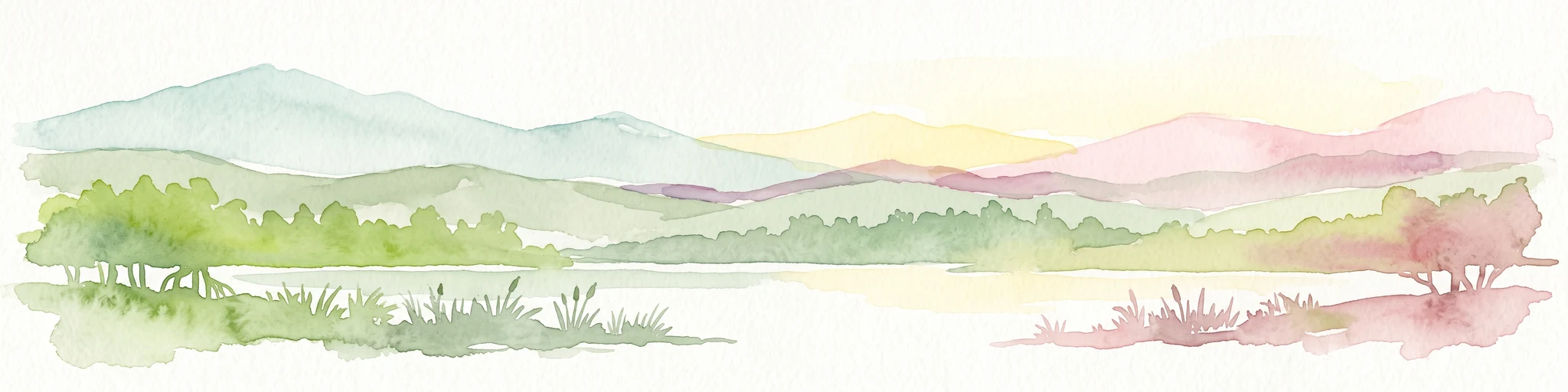
A soft watercolor painting of a wetland scene with green trees and reeds in the foreground and rolling hills in the background.
Protected areaZou Department
About 37 km away#4 closest

North

Forêt marécageuse de Lokoli: Protected Alluvial Forest and Wetland Geography in Zou Department

A rare flooded ecosystem in southern Benin

Spanning approximately 500 hectares, Forêt marécageuse de Lokoli serves as a crucial refuge for primate species and native swamp-forest vegetation. The area illustrates a distinct alluvial geography, characterized by seasonal flooding from the Hlan stream that transforms the forest floor into a mosaic of shallow pools and dense, stilt-rooted woodland environments.

Area
5 km²
Relief
Lowland
Water
Major water bodies
Biosphere reserveBenin
About 51 km away#5 closest

Southeast

Réserve de biosphère de la Basse vallée de l’Ouémé: Geographic Overview and Protected Area Map

Coastal lagoon and river delta ecosystems in Benin

The Réserve de biosphère de la Basse vallée de l’Ouémé represents a significant protected landscape in southern Benin where riverine and marine influences converge. This biosphere reserve map highlights a dense network of mangroves, seasonally flooded grasslands, and freshwater lakes. Gain insights into the regional geography and hydrologic patterns of this important wetland complex.

Area
3,143.4 km²
Established
2020
Relief
Lowland
Climate
Tropical
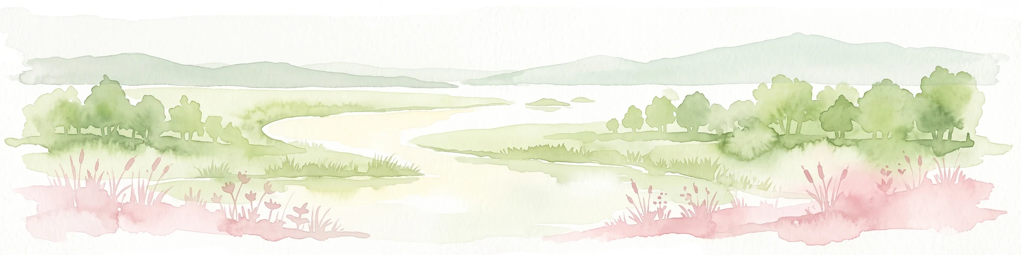
A horizontal watercolor painting depicting a winding river flowing through a lush green landscape with distant hills under a light sky.
Biosphere reserveBenin
About 72 km away#6 closest

Southwest

Mono Transboundary Biosphere Reserve: Mapped Protected Landscapes and Regional Geography

Coastal river deltas, wetlands, and savanna transition zones

The Mono Transboundary Biosphere Reserve preserves a critical intersection of freshwater river systems and marine coastal environments. Stretching along the border of Benin and Togo, this protected area includes expansive mangroves, lagoons, and floodplains that transition into inland savanna. The geography of the reserve reflects a dynamic interface between land and water, encompassing a range of natural terrain that supports both ecological conservation and integrated regional land use.

Area
3,462.85 km²
Established
2017
Relief
Lowland
Climate
Tropical
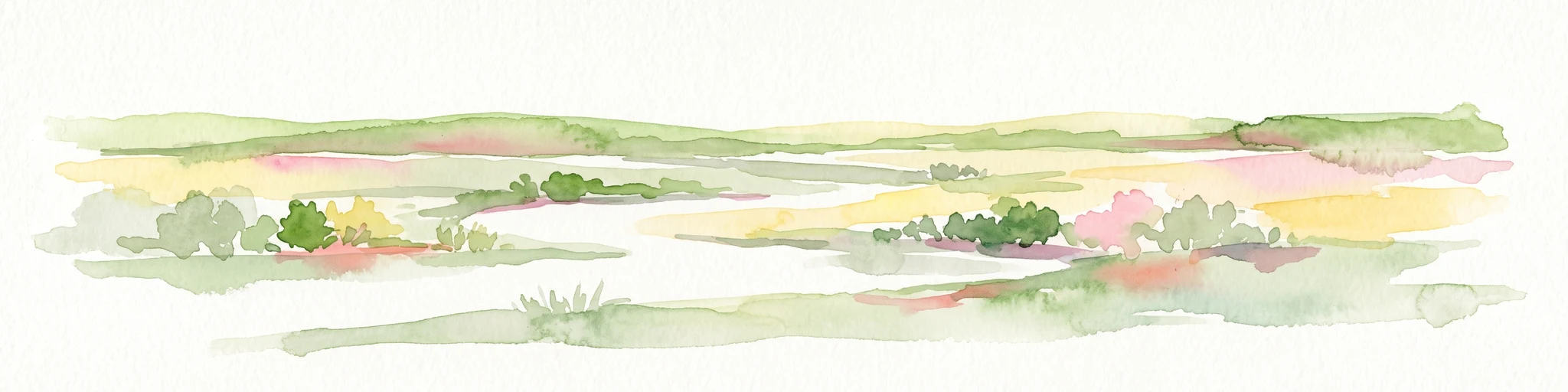
A watercolor painting showing a soft, impressionistic landscape of Keta Lagoon, featuring patches of green vegetation, yellow grasses, and calm water against a light, airy background.
Protected areaVolta Region
About 172 km away#7 closest

Southwest

Keta Lagoon Protected Area: Coastal Wetland Geography and Regional Landscape Mapping

A vital ecological and cultural landscape in Ghana's Volta Region

Keta Lagoon represents a primary coastal wetland system in eastern Ghana. Spanning the coastline between sandy barriers and inland floodplains, this protected area features a unique mosaic of mangroves, tidal flats, and islands. Its role as a major waterbird habitat and the center of Anlo-Ewe cultural life makes it a significant site for understanding West African coastal geography and environmental conservation.

Area
1,200 km²
Established
1992
Relief
Lowland
Climate
Tropical
Wildlife reserveVolta Region
About 185 km away#8 closest

West

Kalakpa Game Production Reserve: Atlas Overview of Protected Terrain in Ghana

Ecological mosaic landscape in the Volta Region

Kalakpa Game Production Reserve represents a diverse protected area where Borassus and Combretum woodlands meet semi-deciduous gallery forests. Situated on the foothills of the Togo Mountains, this reserve provides essential habitat in the forest-savanna transition of southeastern Ghana, defined by its rugged rocky hills and seasonal valley streams.

Area
320 km²
Established
1975
IUCN
VI
Relief
Upland
Wildlife reserveVolta Region
About 194 km away#9 closest

West

Tafi Atome Monkey Sanctuary: Mapping Ghana's Community Protected Wildlife Reserves

Protected sacred grove geography in the Volta Region

Tafi Atome Monkey Sanctuary preserves a unique tropical forest ecosystem that has been protected by local tradition for over two centuries. Located in the Volta Region of Ghana, this wildlife reserve demonstrates the significance of community-based conservation. View the sanctuary through the lens of its forest structure, primate populations, and the surrounding rural mosaic that makes this site a key element of the region's protected landscape.

Established
1993
Relief
Lowland
Climate
Tropical
Access
Access unknown
National parkOti Region
About 250 km away#10 closest

Northwest

Kyabobo National Park: Ghana's Highland National Park with Mount Dzebobo and Forest-Savanna Transition

Explore mountainous terrain, park boundaries, and regional geography in Oti Region.

Kyabobo National Park is a significant protected landscape in Ghana's Oti Region, celebrated for its mountainous topography and the commanding presence of Mount Dzebobo. This national park, established in 1993, safeguards a critical ecological transition zone featuring diverse habitats from dense forests to open tree savanna. Its unique geography and protected status make it a vital site for understanding regional conservation and atlas-based landscape exploration in West Africa, offering insights into varied terrain and ecosystems.

Area
360 km²
Established
1993
IUCN
II
Relief
Mountain
National parkOyo State
About 264 km away#11 closest

Northeast

Old Oyo National Park: Mapped Savanna Terrain and Historical Significance in Nigeria

Explore its geographic setting and protected landscape features.

Old Oyo National Park is a prominent national park situated in Nigeria's Oyo State, covering a substantial area of lowland savanna. The park's terrain features include scattered granite outcrops, ridges, and important archaeological sites, remnants of the ancient Oyo Empire. Its mapped geography reveals a dynamic landscape shaped by river systems and elevated formations, offering a unique blend of natural and cultural heritage for dedicated atlas exploration.

Area
2,512 km²
IUCN
II
Relief
Lowland
Climate
Tropical
Wildlife reserveGreater Accra Region
About 268 km away#12 closest

Southwest

Sakumo Ramsar Site Wildlife Reserve: Geographic and Protected Landscape Overview

Coastal lagoon and savanna wetland within the Greater Accra Region

Located along the southern coast of Ghana, the Sakumo Ramsar Site functions as a unique wildlife reserve where a seasonally shifting lagoon meets freshwater marshes and coastal savanna. This map-focused profile examines the ecological boundaries and terrain features of this significant wetland, which serves as a vital sanctuary for migratory birds despite its position within the dense urban fabric of the Accra-Tema metropolitan area.

Area
14 km²
Established
1992
Relief
Lowland
Climate
Tropical
National parkBono East Region
About 277 km away#13 closest

West

Digya National Park: Ghana's Oldest National Park, Bordering Lake Volta

Explore its unique geography and mapped protected boundaries.

Digya National Park is a significant protected area in Ghana, renowned as the nation's oldest, established in 1900 and gazetted as a national park in 1971. Occupying 3,743 square kilometers in the Bono East Region, it is distinctively bordered on three sides by the vast Lake Volta, creating an unparalleled terrestrial-aquatic habitat interface. This national park represents a key point in Ghana's geographic atlas, situated in a transitional zone between forest and savanna ecosystems, and is a vital hub for wildlife conservation and the study of its unique landscape character.

Area
3,743 km²
Established
1971
IUCN
II
Relief
Lowland
National parkTogo
About 280 km away#14 closest

Northwest

Fazao-Malfakassa National Park: Togo's Expansive Protected Mountainous Terrain and Forest Refuge

Explore a unique West African national park with diverse ecosystems and vital conservation importance.

Fazao-Malfakassa National Park stands as Togo's largest national park, a protected expanse of mountainous terrain in the eastern highlands crucial for regional conservation. This wilderness area shelters significant forest ecosystems and serves as a vital watershed, contributing to the ecological integrity of West Africa. Its diverse landscape, characterized by rugged ridges and valleys, offers a unique insight into Togo's protected natural heritage and its role as a biodiversity corridor.

IUCN
II
Scope
Terrestrial
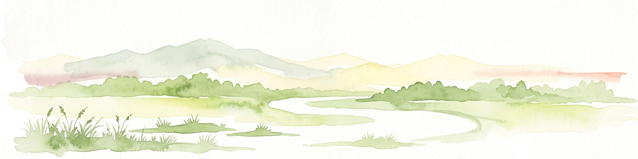
A horizontal watercolor painting showing a winding river flowing through a lush marshy landscape with distant hills in the background.
Nature reserveGreater Accra Region
About 296 km away#15 closest

Southwest

Densu Delta Ramsar Site: Coastal Wetland Geography in the Greater Accra Region

Protected nature reserve, lagoon network, and tidal marshland

Located at the mouth of the Densu River, this Ramsar site features an interconnected system of mangroves, salt pans, and shallow lagoons. The protected area serves as an essential coastal buffer and bird habitat, showcasing the complex interplay between riverine freshwater and the marine environment of the Gulf of Guinea.

Area
58.93 km²
Established
1992
Water
Water-dominated
Wildlife reserveCentral Region
About 340 km away#16 closest

Southwest

Muni-Pomadze Ramsar Site: Protected Coastal Wetlands and Forest Reserves in Ghana

Coastal lagoons, mangrove stands, and undulating hill geography

Covering a compressed sequence of coastal and inland landforms, the Muni-Pomadze Ramsar Site serves as a significant protected landscape. This area encompasses the Muni Lagoon, shoreline dunes, and the forested slopes of the Yenku and Egyasimanku Hills, creating an ecologically diverse habitat that defines the geography of the surrounding coastline.

Area
3 km²
Established
1992
IUCN
II
Protected areaBorgou
About 344 km away#17 closest

North

Forêt classée de N'Dali: Protected Savanna and Woodland Mosaic in Borgou, Benin

A study in northern Benin savanna and gallery forest geography

Forêt classée de N'Dali stands as a defined protected area within Benin, preserving a complex mosaic of tree savanna and open woodland. This reserve captures the essential Sudano-Sahelian landscape character of the Borgou region, featuring a pattern of vegetation controlled by seasonal drainage and soil variation.

Established
1942
National parkEdo State
About 349 km away#18 closest

East

Okomu National Park: Protected Landscape and National Park Geography in Edo State

Explore mapped terrain and protected area boundaries.

Okomu National Park represents a significant protected area within Nigeria, situated in Edo State. This dedicated page offers a focused view of its geography and landscape, aiding in atlas-driven discovery of its mapped terrain and conservation boundaries. Understand the park's role within the regional geographic framework and explore its unique natural landscape context.

Area
200 km²
Established
1935
IUCN
II
Relief
Lowland
Wildlife reserveGhana
About 379 km away#19 closest

West

Bomfobiri Wildlife Sanctuary: Mapped Geography and Protected Landscapes in Central Ghana

A diverse habitat mosaic featuring forests, savanna, and waterfalls.

Bomfobiri Wildlife Sanctuary offers a compressed look at Ghana's natural diversity, where riverine corridors transition into open savanna. The protected area is recognized for its combination of dense forest, varied geological rock formations, and significant natural landmarks like the Lion Stone and local waterfalls, providing a clear perspective on the region's complex physical geography.

Area
53 km²
Established
1975
Wildlife reserveAshanti Region
About 384 km away#20 closest

West

Bobiri Forest Reserve and Butterfly Sanctuary: Mapped Wildlife Reserve and Forest Geography

Ashanti Region protected landscape and butterfly habitat

Focusing on its status as a dedicated butterfly sanctuary, this protected forest reserve in Ghana offers a clear window into semi-deciduous ecology. Covering 54 square kilometers, the site is recognized for high insect biodiversity and its unique position as both an active research area and a managed wildlife reserve near the village of Kubease.

Area
54.65 km²
Established
1939
Relief
Upland
Climate
Tropical
Distance methodology

Geographic measurements, not driving distances

How nearby park distances are calculated

Distances use park boundaries whenever the available geometry allows it. When one or both boundaries are missing, the mapped park locations provide a clearly labelled estimate. Every value represents straight-line geographic separation and does not use roads or routing.

Boundary distance

Calculated between the nearest points of both park boundaries.

Location-to-boundary estimate

Estimated from one mapped park location to the nearest boundary of the other park.

Mapped-location estimate

Estimated between the mapped locations of both parks.

MoriAtlas Explorer

Explore the Geographic Details of Forêt relique de Niaouli Nature Reserve

Deepen your understanding of this important protected area through our structured forest mapping and regional geographic insights. MoriAtlas provides a clear view into the terrain and ecological status of Forêt relique de Niaouli within the context of southern Benin, perfect for those researching tropical forest fragments and biogeographic patterns.