
Mori Atlas logo
Nature reserveGashi Valley

Mapping the glacial terrain, primeval beech forests, and rugged ridges of the Albanian Alps

Gashi Valley Nature Reserve and the Protected Alpine Geography of Northern Albania

(Lugina e Gashit)

Gashi Valley stands as a significant nature reserve in the Albanian Alps, encompassing roughly 3,000 hectares of rugged alpine terrain within Kukës County. This protected landscape is defined by its magmatic and limestone geology, featuring deep glacial cirques, morainic lakes, and extensive old-growth beech forests. The valley serves as a critical refuge for biodiversity and a central element of the highland regional geography, preserving pristine mountain ecosystems shaped by harsh continental climates and historic glacial activity.

strict nature reserveprimeval beech forestUNESCO World Heritagealpine landscapeglacial geologynorthern Albania
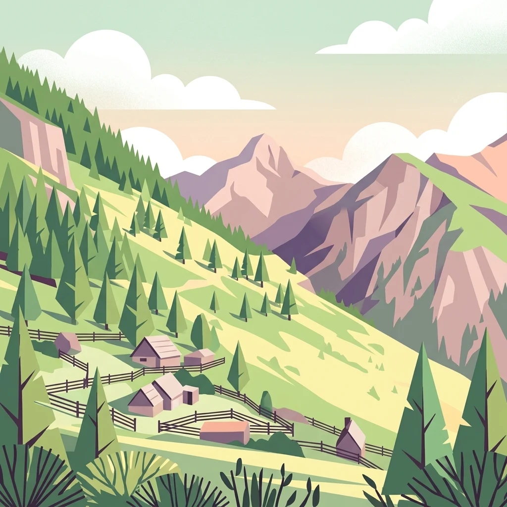
A flat-style digital illustration of an alpine valley in Gashi Valley, Albania, showing small mountain cabins with wooden fences on a grassy slope, backed by large jagged mountains under a soft sky.

Gashi Valley

Nature reserve

Park overview

Structured park overview, official facts, and landscape profile for Gashi Valley

Gashi Valley park facts, protected area profile, and essential visitor context

Review the core facts for Gashi Valley, including designation, size, terrain, visitor scale, habitats, and operating context in one park-focused overview.

About Gashi Valley

Gashi Valley occupies an exceptional position in northern Albania's highland geography, anchoring a protected landscape that links the country's remote eastern mountains to a continent-wide conservation network. Located in Kukës County near the town of Tropojë, the reserve follows the course of the Gashi River through a deeply incised alpine basin. The valley's terrain is rugged and fragmented, a product of long geological processes that have combined magmatic intrusions with limestone bedrock and shaped the resulting landscapes through glacial activity.

The defining feature of the reserve is its extensive cover of primeval and old-growth beech forests. These forests are not isolated stands but form part of a much larger transnational system, the Ancient and Primeval Beech Forests of the Carpathians and Other Regions of Europe, which links protected forest sites across 18 European countries. Gashi Valley, together with Albania's Rrajcë reserve, represents Albania's contribution to that UNESCO-recognized ecological chain and secures some of the last remaining areas where European beech forests have never been substantially altered by human activity.

Ecologically, the reserve spans a full vertical gradient from forested river valleys up to alpine meadows and rocky ridges. Beech dominates the forest composition, but it mingles with spruce, mountain maple, cypress, and hornbeam to create complex, multilayered woodland habitats. Above the treeline, alpine meadows rich in blueberry cultivation give way to glacially sculpted highlands with cirques, moraines, and small lakes fed by snowmelt and rainfall. The region's clean waters and cold continental climate support a wide range of plant and animal life, including endemic and subendemic species and notable populations of large mammals.

Gashi Valley is therefore more than a single protected site. It functions as a bridge between Albania's living pastoral and cultural traditions in the Tropojë region and a broader European framework for conserving primeval forests. Its combination of geological drama, ecological depth, and cultural continuity makes it a cornerstone for understanding how biodiversity conservation and cultural heritage can be preserved together in one of the continent's least-disturbed mountain regions.

Quick facts and research context for Gashi Valley

Gashi Valley is a strict nature reserve (IUCN Category Ia) in Kukës County, northern Albania, managed by the National Agency of Protected Areas. It covers about 3,000 hectares in the upper basin of the Gashi River, near the town of Tropojë.

The reserve was inscribed in 2017 as part of the transnational UNESCO World Heritage Site known as the Ancient and Primeval Beech Forests of the Carpathians and Other Regions of Europe. Together with Albania's other strict reserve, Rrajcë, it contributes to a network of 94 nature sites across 18 European countries receiving that recognition. The landscape combines magmatic and limestone alpine terrain with glacial cirques, moraines, and alpine meadows.

Protection and recognition

Documented conservation history and transboundary protected area scope for Gashi Valley

Gashi Valley Protection Status and Terrestrial Designation Records

Gashi Valley maintains a terrestrial protection scope established in 2017 with confirmed transboundary status. Official records compile the historical designation data and management parameters associated with this protected natural landscape.

Protection details

Protection scope
Terrestrial
Designated year
2017
Transboundary protection
Yes
Park context

Deeper park guide and search-rich context for Gashi Valley

Gashi Valley history, landscape, wildlife, and travel context

Explore Gashi Valley through its history, landscape character, ecosystems, wildlife, conservation priorities, cultural context, and seasonal travel timing in a structured park guide built for atlas discovery and search intent.

Why Gashi Valley stands out

Gashi Valley is best known for its old-growth and primeval beech forests, which are protected as part of one of Europe's most important transnational natural heritage designations. The reserve preserves forests of beech mixed with spruce, mountain maple, cypress, and hornbeam, allowing visitors and researchers to witness what comparatively little remains of Europe's original broadleaf forest cover. It is equally celebrated for its dramatic alpine geology: glacial cirques, ridges, rapids, and morainic lakes carved into magmatic and limestone bedrock. This combination of ecologically valuable forest and strikingly sculpted mountain terrain makes the valley a flagship site for understanding both the natural and the glacial heritage of the Albanian Alps.
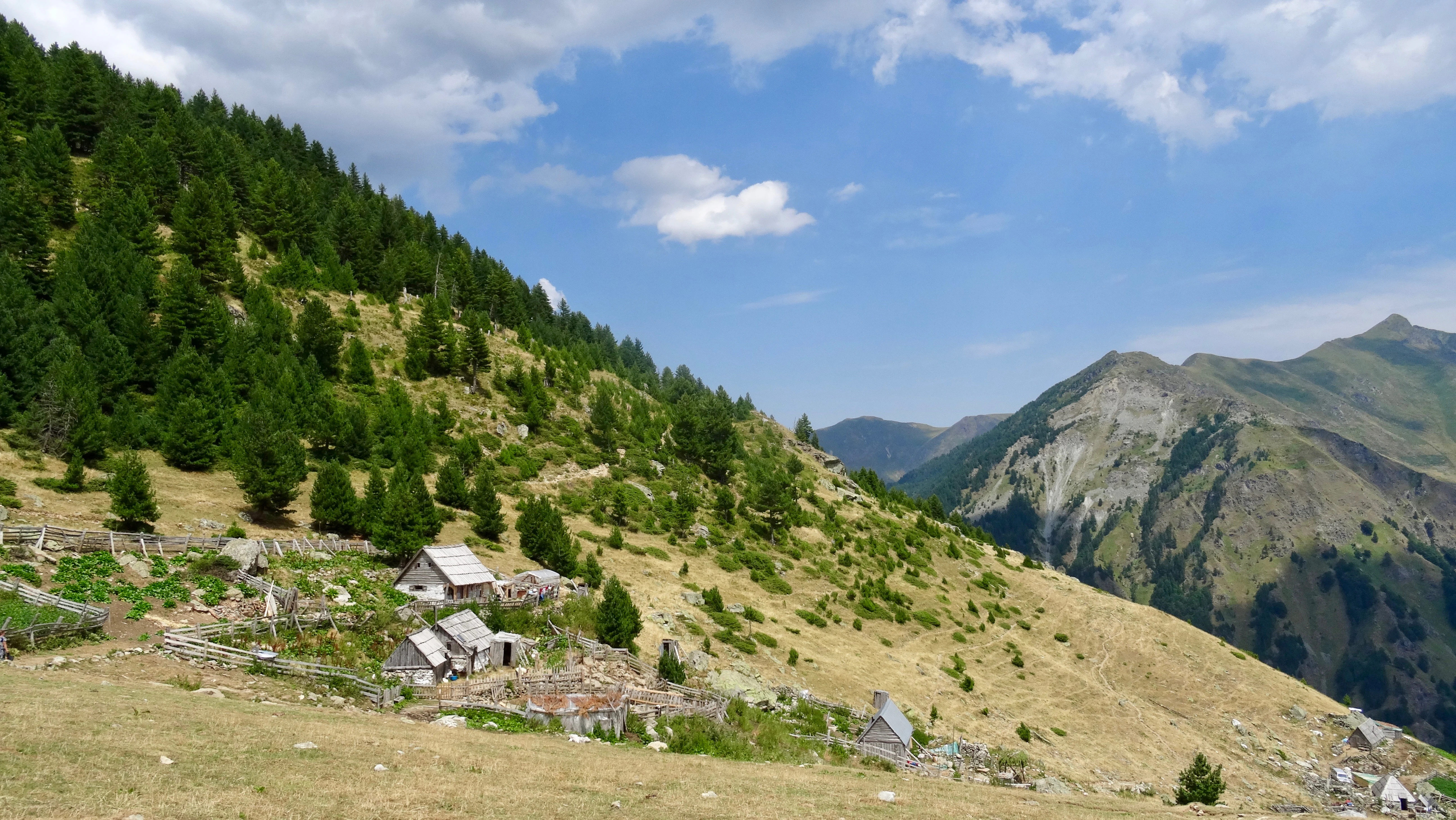
A wide view of a sloped mountain pasture featuring small stone huts, scattered pine trees, and rugged peaks in the distance under a partly cloudy sky.
Mountain pasture with stone huts in the Gashi Valley region of Albania.

Gashi Valley history and protected-area timeline

Gashi Valley was formally established as a strict nature reserve, the highest level of protection recognized under Albania's protected-area framework, to safeguard the ecological integrity of its primeval beech forests and alpine landscapes. Its institutional base rests with Albania's National Agency of Protected Areas, which oversees the reserve's management and ensures its alignment with national and international biodiversity objectives.

The defining moment in the reserve's modern history came on 7 July 2017, when it was inscribed as part of the UNESCO World Heritage Site entitled 'Primeval Beech Forests of the Carpathians.' Along with the Rrajcë Strict Nature Reserve, Gashi Valley became Albania's contribution to a transnational inscription that ultimately encompassed 94 nature sites in 18 European countries, formalizing decades of scientific interest in the continent's surviving beech forest ecosystems.

The valley's deeper human history is intertwined with the pastoral and cultural traditions of highland Albania. Communities of the Tropojë region have long used the valley's alpine meadows for seasonal grazing and the cultivation of blueberries, while oral traditions and folk practices preserved across generations gave the surrounding landscape its rich symbolic identity in Albanian folklore.

Inscription as a UNESCO World Heritage Site (2017) Typical sequencing: establishment first, then international recognition, then cultural context. Formatting: implicit list above; this section must always be a bulleted list using the dash, not em dash or hyphen.

Gashi Valley landscape and geographic character

The landscape of Gashi Valley is defined by the dramatic interplay between tectonic geology and glacial shaping. Magmatic intrusions and limestone formations together create a rugged, deeply fragmented alpine terrain in which steep valley walls alternate with sharp ridges and rockfalls. The Gashi River runs through the heart of this terrain, fed by cold, clean mountain waters that sustain both the forests below and the wetlands and meadows higher up.

Glacial processes have left clear signatures across the valley. Cirques and morainic deposits form distinctive basins and small lakes high above the valley floor, while rapids and rocky channels trace the path of glacial meltwater down toward the Gashi River. The result is a landscape of strong contrasts: dark forested slopes, bright alpine meadows, pale limestone outcrops, and the deep blue of glacial pools all coexist within relatively short distances.

A strong continental climate shapes the valley's seasonal character. Winters are harsh and prolonged, summers cool and relatively short, and snowmelt drives much of the hydrological cycle. This climatic regime, combined with the valley's elevation and isolation, has helped preserve both the primeval forests and the fragile alpine soils above them.

Gashi Valley ecosystems, habitats, and plant life

Gashi Valley protects one of the most ecologically significant mosaics in the Albanian Alps. The lower and middle elevations are cloaked in old-growth beech forests, often mixed with spruce and enriched by understory species such as mountain maple, cypress, and hornbeam. These forests are exceptionally valuable because they represent stands of European beech that have continued largely outside the patterns of intensive forest management seen elsewhere on the continent.

Above the timberline, the valley gives way to a network of alpine meadows and rocky outcrops. The meadows are traditionally used for blueberry cultivation, giving parts of the reserve a distinctive cultural-natural character. The transition from forest to alpine zone is unusually well preserved, allowing for a continuous gradient of habitats from dense canopy to open fellfield.

The reserve's clean waters, from glacial cirque lakes to the Gashi River itself, support a high diversity of aquatic and riparian habitats. Combined with the varied microclimates created by the rugged topography, this hydrological richness contributes to the presence of numerous endemic and subendemic plant species, reinforcing the valley's importance as a refugium for species that have receded from much of their former range in southern Europe.

Gashi Valley wildlife and species highlights

The wildlife of Gashi Valley reflects the quality and continuity of its habitats. Brown bears roam the forested slopes, an indicator of the large, ecologically functional forest blocks preserved within the reserve. Wild boar, roe deer, and mountain goats are among the other mammals regularly associated with the valley, while smaller carnivores and mesopredators inhabit the transitional zones between dense forest and open meadow.

The reserve's altitudinal range supports a wide spectrum of birdlife, with forest species nesting in old-growth beeches and alpine or rock-associated species using the higher ridges and cliffs. The combination of intact forest, clean water, and undisturbed highland habitat makes the valley attractive to species that are sensitive to human disturbance and forest fragmentation.

The persistence of these mammal and bird populations within Gashi Valley is closely tied to the surrounding cultural landscape of low-intensity pastoral use and traditional land stewardship. The relative absence of intensive land use beyond the reserve's boundaries helps maintain the ecological corridors that allow wildlife to move between the valley and adjacent highland areas.

Gashi Valley conservation status and protection priorities

Gashi Valley holds exceptional conservation significance at national, regional, and continental scales. At the national level, it is one of the few areas in Albania with strict nature reserve status (IUCN Category Ia), the highest level of protection under Albania's protected-area framework, ensuring that natural ecological processes take precedence over other forms of land use.

At the international level, the reserve's inclusion in the UNESCO World Heritage Site 'Primeval Beech Forests of the Carpathians' places Gashi Valley within a continental network of primeval and ancient beech forests. Recognition under criterion ix acknowledges the site's outstanding importance for ongoing ecological and biological processes, particularly the evolution and development of forest ecosystems and the communities they support.

The reserve also serves as a critical refugium for endemic and subendemic plant species that depend on the specific microclimatic conditions created by the valley's elevation, geology, and humid continental climate. By protecting both the forests and the alpine habitats above them, Gashi Valley safeguards a vertical ecological gradient that is increasingly rare in densely populated parts of Europe, contributing to long-term biodiversity conservation and to the resilience of the wider Carpathian and Balkan forest system.

Gashi Valley cultural meaning and human context

Gashi Valley sits within a cultural landscape shaped by highland Albanian pastoral traditions, folklore, and artisanal heritage. The surrounding Tropojë region is renowned for its oral and literary traditions, including references in the epic Eposi i Kreshnikëve, symbolic figures such as Muji and the mountain fairy, and legendary heroes like Mic Sokoli. These stories are not external to the landscape but emerge directly from the valley's geography, seasonal rhythms, and the historical experience of life in the Albanian Alps.

The valley's communities have long practiced transhumance and seasonal land use, including the extensive cultivation of blueberries on alpine meadows. This blend of pastoralism, seasonal harvesting, and forest stewardship has shaped the visible character of the landscape and continues to influence how the reserve's natural values are understood locally.

The cultural identity of the region is also expressed through intangible heritage. The Tropojë Dance (Vallja e Tropojës) is recognized as a candidate for inclusion on UNESCO's Intangible Cultural Heritage tentative list and is closely associated with the Gashi area. Equally distinctive is the Xhubleta, a traditional bell-shaped folk skirt worn by local women since at least the 17th century. Together, these traditions tie Gashi Valley to a broader Albanian highland cultural heritage that the reserve helps to preserve alongside its natural values.

Top sights and standout views in Gashi Valley

Gashi Valley is distinctive for the combination of primeval beech forests inscribed in a transnational UNESCO World Heritage Site with a dramatic glacial alpine landscape in the Albanian Alps. Its biodiversity, including brown bears, endemic plant species, and old-growth forest stands, and its deep ties to the cultural traditions of the Tropojë region make it a place where European natural and intangible heritage meet.

Visitors and researchers value the valley for the opportunity to experience one of the continent's least-disturbed broadleaf forest ecosystems alongside living highland culture, including the Xhubleta traditional dress and the Tropojë Dance, demonstrating how ecological and cultural preservation can reinforce each other in a single landscape.

Best time to visit Gashi Valley

Because Gashi Valley lies at high elevation in the Albanian Alps under a continental climate, the character of a visit changes strongly with the seasons. Late spring through early autumn typically offers the mildest conditions, with snow retreating from the lower slopes and alpine meadows becoming accessible. This window allows for fuller appreciation of both the beech forests and the higher meadows, where blueberries are cultivated.

Winter brings heavy snowfall and harsh conditions that close off many of the higher trails and dramatically reduce accessibility. For visitors focused on landscape atmosphere rather than traversal, the quieter shoulder seasons can offer a balance between accessibility and solitude, though a high-altitude, mountain-appropriate approach is advisable in any season.

Monthly climate preview

Long term representative measurements tracking average temperature swings and monthly precipitation patterns

Gashi Valley Climate Normals, Annual Temperature and Precipitation Rhythm

Representative coordinates record sustained temperature variation alongside shifting monthly precipitation levels across the terrain. Reviewing the complete twelve month climate profile reveals full statistical depth for long term planning.
Annual mean8 °C
-2 °C19 °C
Jan-2°
Feb-1°
Mar
Apr
May12°
Jun16°
Jul19°
Aug19°
Sep14°
Oct
Nov
Dec-1°
Warmest month
August

19.4 °C

Coolest month
January

-2.5 °C

Wettest month
November

4.7 mm/day

Driest month
August

1.5 mm/day

Park location guide

Geography guide, regional context, and park location map for Gashi Valley

Gashi Valley park geography, regions, and map view in Albania

Understand where Gashi Valley sits in Albania through a broader geographic reading of the surrounding landscape, nearby location context, and its mapped position within the national park landscape.

How Gashi Valley fits into Albania

Albania is a unitary parliamentary republic in Southeast Europe, situated on the Balkan Peninsula along the Adriatic and Ionian coastal regions. With a population of approximately 2.4 million people, it borders Montenegro, Kosovo, North Macedonia, and Greece. The country features varied landscapes ranging from the Albanian Alps to fertile coastal plains, with Tirana as its capital and largest city.

Wider geography shaping Gashi Valley in Albania

Albania occupies the western part of the Balkan Peninsula in Southeast Europe. The country features a varied terrain with rugged mountain ranges including the Albanian Alps (Accursed Mountains), Korab, Skanderbeg Mountains, Pindus, and Ceraunian Mountains. Fertile lowland plains extend along the Adriatic and Ionian coastal regions. The country borders Montenegro to the northwest, Kosovo to the northeast, North Macedonia to the east, and Greece to the south.

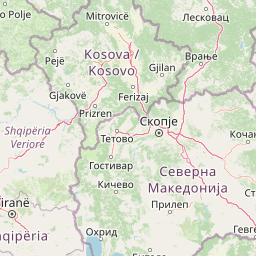
Map view of Gashi Valley

Use this park location map to pinpoint Gashi Valley in Albania, understand its exact geographic position, and read its mapped placement within the surrounding landscape more clearly.

Pigeon | © OpenStreetMap contributors

Location context for Gashi Valley

Kukës County

Explore primeval beech forests, glacial cirques, and rugged northern Albanian terrain.

Gashi Valley Photos and Scenery: Visualizing Protected Alpine Landscapes

Visual records capture the rugged terrain, primeval beech forests, and glacial landforms defining Gashi Valley. Detailed imagery reveals remote alpine habitats and protected mountain scenery across the Albanian highlands.

A wide view of a sloped mountain pasture featuring small stone huts, scattered pine trees, and rugged peaks in the distance under a partly cloudy sky.

Park atlas

Compare alpine terrain, glacial geography, and surrounding mountain reserves

Explore Other Parks Near Gashi Valley and Protected Areas Across the Region

Browse other protected areas and national parks situated within the surrounding mountainous region. Expanding the geographic view helps place the primeval forests and alpine terrain of Gashi Valley into a broader regional conservation context.
Watercolor painting showing a mountainous landscape with a lake, green hills, and pink flowers
National parkAlbania
About 4.7 km away#1 closest

West

Alps of Albania National Park: Explore Albania's Largest Protected Alpine Wilderness

Dramatic karst, glacial valleys, and high-altitude ecosystems await.

The Alps of Albania National Park offers an expansive view into one of the Balkans' most significant mountain protected areas. This national park encompasses a spectacular landscape characterized by towering limestone peaks, deep glacial valleys carved over millennia, and intricate karst formations like Grunas Canyon. Its pristine wilderness protects diverse high-altitude ecosystems and unique geological features, serving as a key destination for understanding regional geography and protected landscapes.

Area
828.447 km²
Established
2022
IUCN
II
Relief
Mountain
Watercolor painting of green mountains, forests, and fields under a light sky
National parkKosovo
About 8.5 km away#2 closest

North

Bjeshkët e Nemuna National Park: Kosovo's Largest Alpine Protected Landscape

Explore dramatic mountains, glacial lakes, and diverse ecosystems.

Delve into the protected geography of Bjeshkët e Nemuna National Park, Kosovo's expansive national park located in the Accursed Mountains. This atlas entry details its significant alpine terrain, from dense forests to high-altitude meadows, and highlights the presence of glacial lakes like Liqenat. Understand its role as a vital conservation corridor and a key component of the Balkan's natural heritage.

Area
630.28 km²
Established
2012
IUCN
II
Relief
Mountain
A watercolor illustration of a soft mountain range landscape with pine trees in the foreground against a white background.
Protected areaAlbania
About 23 km away#3 closest

West

Accursed Mountains: Geographic Analysis of Albania High Alpine Protected Terrain

Rugged karstic relief and glacial mountain landscapes.

Discover the Accursed Mountains, a formidable high-mountain range in northern Albania known for its sheer limestone cliffs and profound glacial sculpting. This protected area provides a critical habitat for relict flora and fauna while maintaining one of the most intense relief profiles in the Balkans. Examine the mapped canyons, alpine cirques, and jagged ridges that shape this landmark range.

Relief
Mountain
Climate
Alpine
Access
Moderate access
Scope
Terrestrial
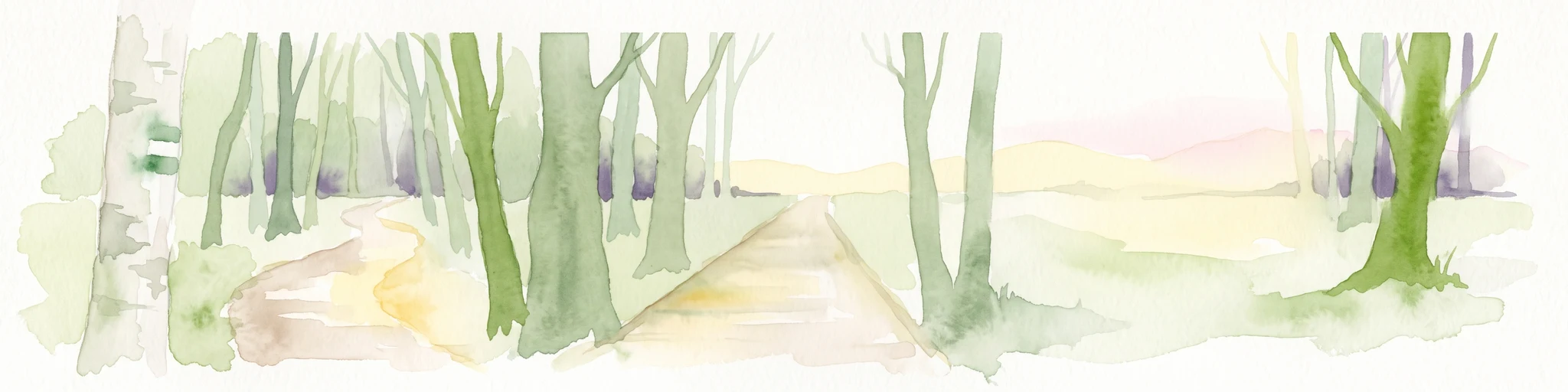
A watercolor painting showing a light-colored walking path leading into a forest of green trees against a pale sky.
National parkKolašin Municipality
About 57 km away#4 closest

Northwest

Biogradska Gora National Park: Mountain Geography and Old-Growth Forest Map Exploration

Protected wilderness in the Bjelasica mountain range of central Montenegro

Biogradska Gora serves as a vital protected area in Montenegro, characterized by its sprawling Bjelasica ridges, six distinct glacial lakes, and primeval beech ecosystems. The park terrain offers an expansive look at Balkan high-mountain geography, ranging from deep forested valleys to alpine meadows and peaks exceeding 2,000 meters in elevation.

Area
54 km²
Established
1952
IUCN
II
Relief
Mountain
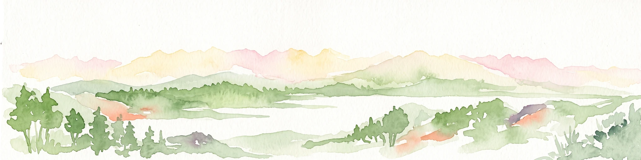
A watercolor painting showing a panoramic view of green rolling hills and a body of water under a soft, light sky.
Nature reserveShkodër District
About 64 km away#5 closest

Southwest

Lake Shkodër Nature Reserve: Mapping Protected Wetland and Riverine Geography in Albania

A critical Balkan freshwater protected area.

The Lake Shkodër Nature Reserve serves as a foundational protected landscape in northern Albania, encompassing the extensive shoreline and riverine floodplains of Lake Skadar. This geographic entity showcases a transition from fertile lowlands to mountainous ridges, offering a detailed look at how hydrologic processes and alpine proximity define Balkan wetland habitats.

Area
265.35 km²
Established
2005
IUCN
IV
Relief
Lowland
Watercolor painting showing a mountain landscape with green forests, valleys, and distant hills
National parkMontenegro
About 66 km away#6 closest

Northwest

Biogradska Gora National Park: Ancient Beech Forest and Protected Landscape Exploration

Discover Montenegro's oldest national park with mapped terrain and regional geography.

Biogradska Gora National Park represents a critical protected area in Montenegro, celebrated for its exceptionally well-preserved ancient beech forest. This national park features a heterogeneous terrain of rolling hills and river valleys that create a unique natural setting. The dense, old-growth canopy offers an immersive experience of a primeval forest ecosystem, providing significant value for understanding Balkan nature and protected forest dynamics. Explore the mapped boundaries and discover the distinct landscape character that defines this remarkable natural reserve.

IUCN
II
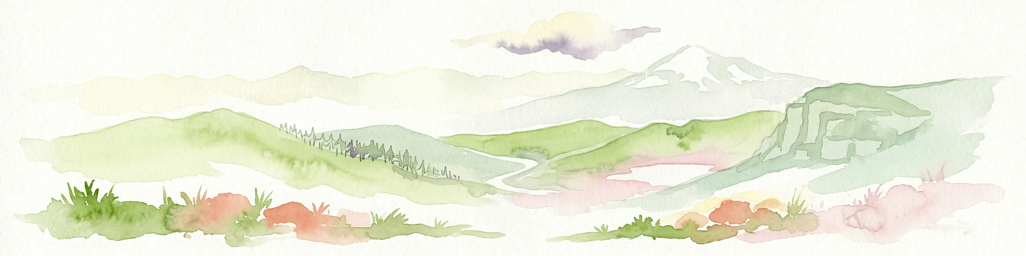
Watercolor illustration of mountainous landscape with rolling hills, green fields, and distant snow-capped peaks.
National parkNorth Macedonia
About 69 km away#7 closest

Southeast

Šar Planina National Park: North Macedonia's Premier Alpine Protected Landscape

Explore glacial lakes, high peaks, and critical Balkan lynx habitat.

Šar Planina National Park is an expansive protected area in North Macedonia, defined by its striking alpine terrain and significant ecological value. The park safeguards a landscape featuring approximately 220 peaks over 2,000 meters and 29 permanent glacial lakes, known as 'Šar's Eyes.' This national park serves as a vital refuge for endangered wildlife, including the Balkan lynx, and offers a unique geographic context for understanding mountain wilderness and protected land distribution in the Balkan region. Its mapped boundaries encompass a rich biodiversity and a landscape shaped by glacial and fluvial processes.

Area
627 km²
Established
2021
IUCN
II
Relief
Mountain
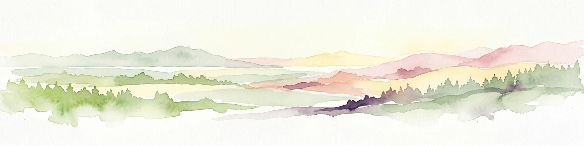
Watercolor painting of a lake landscape with green marshes in the foreground, small islands in the middle, and rolling hills in the background.
National parkMontenegro
About 70 km away#8 closest

Southwest

Lake Skadar National Park: An Atlas Overview of Montenegro's Largest Freshwater Wetland

Karst Terrain and Transboundary Protected Landscapes

Lake Skadar stands as a monumental geographic feature in Montenegro, serving as the largest lake in Southern Europe. This national park protects a diverse ecosystem ranging from submerged karst springs to expansive seasonal marshes. Its status as a transboundary system offers insights into Mediterranean hydrology and endemic freshwater biodiversity within the unique Balkan karst basin.

Area
450 km²
Established
1983
Relief
Lowland
Climate
Mediterranean

Common questions about visiting, size, designation, and location context for Gashi Valley

Gashi Valley FAQs for park facts, access, geography, and protected area context

Find quick answers about Gashi Valley, including protected-area facts, park geography, trail and visitor context, and how the park fits into its surrounding country and regional landscape.
MoriAtlas Explorer

Continue Your Protected Areas Search Across the Global Atlas

Deepen your exploration by continuing the structured search for national parks and protected areas worldwide. Utilize the comprehensive filtering capabilities to compare different conservation landscapes and refine your understanding of global park geography. Discover more about the distribution and characteristics of protected natural areas.

Global natural geography