
Mori Atlas logo
Nearby park discovery

Analyzing the geographic distribution and surrounding terrain of protected areas

Regional Protected Landscapes Near Gates of the Mountains Wilderness in Central Montana

Examine the wider geographic context of Gates of the Mountains Wilderness by identifying adjacent protected areas across the central Montana landscape. Explore how neighboring wilderness sites and forest designations relate through shared terrain characteristics and regional proximity. The mapped landscape displays the distribution of protected corridors surrounding the historic Missouri River canyon.

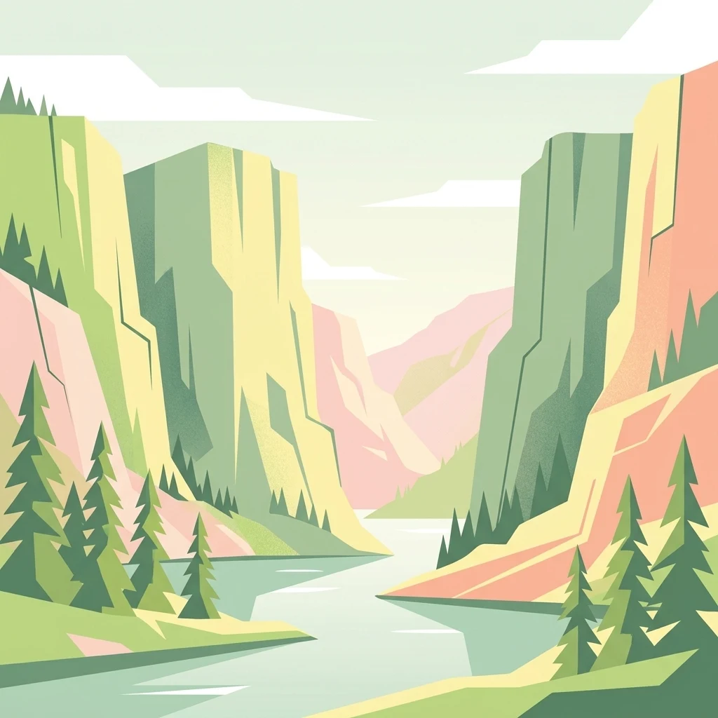
A flat-style digital illustration showing a river flowing between high, steep limestone canyon walls, flanked by coniferous trees under a pale sky.

A federally designated wilderness along the Missouri River canyon named by the Lewis and Clark expedition.

Gates of the Mountains Wilderness

The Gates of the Mountains Wilderness is a federally protected wilderness area in central Montana, set along a dramatic stretch of the Missouri River north of Helena. Managed by the U.S. Forest Service as part of the Helena National Forest, it preserves a deeply carved canyon flanked by towering limestone cliffs that rise directly from the river. The wilderness takes its name from the Lewis and Clark Expedition, which encountered these sheer rock walls in 1805 and described them as the most remarkable cliffs seen on the entire journey. Designated under the 1964 Wilderness Act, the area is closed to motorized and mechanized travel, logging, mining, and permanent structures, while still allowing traditional low-impact activities such as hiking, camping, fishing, and seasonal hunting. Beyond its geological drama, the wilderness carries a powerful human history. It includes the site of the 1949 Mann Gulch fire, one of the most studied wildfires in American history, and remains a landscape where exploration, scientific interest, and conservation values are tightly intertwined.

Location
United States of America
Park type
Wildlife reserve
Established
1964
Area
115.6 km²
Gates of the Mountains Wilderness Map and Geography
Regional park map

See the ranked park cluster in its geographic setting

Nearby parks around Gates of the Mountains Wilderness

This regional map shows the same 20 nearby parks ranked below around Gates of the Mountains Wilderness. Select a ranked marker to highlight that park’s boundary where boundary data is available.
Reference park: Gates of the Mountains WildernessRanked nearby parkSelected boundary: Gates of the Mountains Wilderness20 nearby parks shown
20 nearby parks

Distance-ranked protected landscapes and regional park geography across central Montana

Parks and Protected Areas Geographically Near Gates of the Mountains Wilderness

Examine the ranked collection of protected areas situated geographically near Gates of the Mountains Wilderness to analyze spatial separation and directional placement. Compare recorded environmental characteristics and country context to understand broader protected-landscape patterns across the region.
A watercolor painting depicting a soft, stylized mountain range and a river winding through a valley.
Protected landscapeMontana
Park boundaries overlap#1 closest

Northeast

Helena-Lewis and Clark National Forest: Geographic Overview and Protected Area Map

Montana wilderness spanning the Continental Divide

Spanning from the rolling eastern plains to the crest of the Northern Rockies, Helena-Lewis and Clark National Forest serves as a massive protected landscape in central Montana. This forest system protects eight unique mountain ranges and critical wilderness corridors, offering a comprehensive look at the ecological transition zones of the American Mountain West.

Area
11,000 km²
Established
1897
Relief
Mountain
Climate
Temperate
Protected areaMontana
75 km away#2 closest

West

Lolo National Forest: An Atlas of Protected Lands and Mountainous Terrain in Montana

Ecological transition zone of the northern Rocky Mountains

This protected area covers two million acres of diverse northern Rocky Mountain geography. Known for its massive western red cedars and transitional ecology, the forest features a complex network of ridgelines, glacial lake basins, and river corridors that serve as vital habitat across the Montana landscape.

Area
8,894.85 km²
Established
1906
Relief
Mountain
Climate
Temperate
Wildlife reserveMontana
139 km away#3 closest

South

Lee Metcalf Wilderness: Geographic Profile and Protected Landscape Boundaries in Montana

Mapping rugged alpine terrain across four distinct mountainous units

Located in southwestern Montana, the Lee Metcalf Wilderness serves as a cornerstone of ecological connectivity within the Greater Yellowstone Ecosystem. Spanning over 250,000 acres, this protected area features a unique fragmented geography consisting of the Bear Trap Canyon, Spanish Peaks, Taylor-Hilgard, and Monument Mountains units. The landscape is defined by its roadless mountain ridges, forested slopes, and deep river corridors, providing essential sanctuary for large mammal populations.

Area
1,029.07 km²
Established
1983
IUCN
Ib
Relief
Mountain
Wildlife reserveMontana
143 km away#4 closest

West

Rattlesnake Wilderness: Exploring the Protected Landscapes and Geography of Montana

Rugged alpine terrain and roadless mountain wilderness in the Northern Rockies.

Located in the Lolo National Forest of western Montana, Rattlesnake Wilderness protects an essential network of forested slopes, alpine ridges, and drainage headwaters. This roadless wildlife reserve provides an ecologically intact landscape that serves as a core component of the northern Rockies wilderness system, offering a clear view into the rugged relief of the Rattlesnake Mountains and their significant influence on local watersheds.

Area
133.45 km²
Established
1980
IUCN
Ib
Relief
Mountain
Wildlife reserveMontana
147 km away#5 closest

Northwest

Mission Mountains Wilderness: A Rugged Protected Area in the Montana Rocky Mountains

Glacial topography and high elevation alpine ecosystems

Mission Mountains Wilderness is a defining landmark in northwestern Montana, characterized by a steep and narrow mountain spine that rises abruptly above the Flathead Valley. The area protects a full spectrum of ecosystems, from dense coniferous forests to exposed talus slopes and alpine tundra. With its glacially carved cirques and deep U shaped valleys, this wilderness functions as a key component of a larger, jointly managed regional conservation landscape in the United States.

Area
298.97 km²
Established
1975
IUCN
Ib
Relief
Mountain
A watercolor painting of a serene landscape with coniferous trees, rolling hills, and soft-toned, layered mountains.
Protected landscapeMontana
About 153 km away#6 closest

West

Rattlesnake National Recreation Area: Geography and Protected Landscape Analysis

A mapped Northern Rockies gateway in western Montana

The recreation area encompasses 28,000 acres of forested mountain terrain, montane wetlands, and creek-carved valleys located just north of Missoula. This protected landscape is defined by its diverse trail network and significant ecological systems, including the rare Sphagnum bogs of Shoo Fly Meadows. The area provides essential habitat for grizzly bears, elk, and bull trout while framing a transition zone into the remote backcountry of the surrounding national forest.

Area
110 km²
Established
1980
Relief
Mountain
Scope
Terrestrial
National parkMontana
192 km away#7 closest

Northwest

Glacier National Park: A Montana National Park with Distinct Protected Landscape Geography

Explore its mapped boundaries and regional natural terrain.

Glacier National Park represents a significant national park entity within Montana, providing a unique lens for understanding protected landscapes and regional geography. As a key component of the US protected areas network, it offers valuable insights into mapped park boundaries and the surrounding natural terrain. This page serves as a gateway to exploring the specific geographic context and landscape identity of Glacier National Park.

Area
4,100.77 km²
Established
1910
IUCN
II
Visitors
2.9M annual
National parkWyoming
198 km away#8 closest

Southeast

Yellowstone National Park: US National Park Protected Landscape & Geographic Atlas

Explore mapped boundaries and regional natural landscape context.

Yellowstone National Park represents a significant protected landscape within Wyoming, designated as a US national park. This entry offers detailed insight into its geographic scope, mapped boundaries, and the unique natural terrain that defines it. Understand its role in regional geography and discover its protected-area identity through a structured atlas exploration, providing context for its conservation landscape.

Area
8,983.18 km²
Established
1872
IUCN
II
Visitors
4.7M annual
Soft watercolor illustration of a rolling mountain landscape with a forested foreground and faded, distant peaks.
Protected landscapeIdaho
200 km away#9 closest

Southwest

Salmon, Challis National Forest: Geography and Protected Land Map in Central Idaho

Extensive alpine ridges and wild river corridors

Spanning over 4.2 million acres, Salmon, Challis National Forest is a foundational protected landscape in Idaho. This area includes the highest peaks in the state, such as Borah Peak, and holds the majority of the Frank Church, River of No Return Wilderness. Utilize this atlas resource to examine the intricate mountain topography, expansive river systems, and the contiguous wild corridors that define this significant portion of the northern Rockies.

Area
17,142.2 km²
Established
1908
Relief
Mountain
Climate
Temperate
A horizontal watercolor illustration depicting a winding river flowing through a forested valley surrounded by soft, hazy mountain silhouettes.
Wildlife reserveIdaho
235 km away#10 closest

Southwest

Frank Church, River of No Return Wilderness: Idaho Protected Mountain and River Landscapes

Discover massive roadless geography and river-carved mountain terrain.

Spanning over 2.3 million acres in central Idaho, the Frank Church, River of No Return Wilderness represents one of the most significant intact roadless landscapes in the lower 48 states. This protected area features a complex mosaic of coniferous forests, high-altitude alpine ridges, and the steep, jagged canyons of the Salmon River, creating a unique geographic profile for regional exploration.

Area
9,578.21 km²
Established
1980
IUCN
Ib
Relief
Mountain
Nature reserveBeaverhead County
238 km away#11 closest

South

Red Rock Lakes Wilderness: Nature Reserve and Wetland Geography in Beaverhead County

High elevation marshes and protected water basins.

Red Rock Lakes Wilderness preserves an extensive high-elevation wetland complex in Beaverhead County, Montana. This nature reserve, characterized by shallow lake basins and forested mountain ridges, serves as a vital ecological corridor in the Northern Rockies. Its protected landscape offers a study in water-driven geography, where remote marshes and reflective lakes define the terrain's character.

Area
130.9 km²
Established
1976
IUCN
Ib
Relief
Upland
Watercolor painting of a peaceful mountain valley landscape, showing a small winding stream in the foreground, grassy meadows, clusters of pine trees, and rolling mountain peaks in a soft, sunset-colored sky.
Protected landscapeWyoming
246 km away#12 closest

Southeast

Shoshone National Forest: A Comprehensive Map and Geography of America's Oldest National Forest

Rugged wilderness and glacial peaks in Wyoming

Discover the immense geographic scale of Shoshone National Forest, which protects a diverse landscape ranging from sagebrush valleys to 13,000-foot granite summits. This atlas overview details its role within the Greater Yellowstone Ecosystem and its expansive, federally designated wilderness areas, offering a clear perspective on its volcanic and glacial terrain.

Area
9,992.69 km²
Established
1891
IUCN
VI
Visitors
500K annual
A soft watercolor painting depicting rolling mountains in the background with a line of forest in the midground and open terrain in the foreground.
Protected landscapeMontana
251 km away#13 closest

Northwest

Kootenai National Forest: Geography and Protected Land Map for Northwestern Montana

Northern Rockies mountain ranges and watershed analysis.

Spanning over two million acres, Kootenai National Forest represents a critical protected landscape in the Northern Rockies. This atlas entry details the interplay between the Cabinet Mountains, regional river systems like the Kootenai and Clark Fork, and the dense conifer forests that define this uniquely wet corner of Montana.

Area
8,900 km²
Established
1907
Relief
Mountain
Climate
Temperate
National parkAlberta
268 km away#14 closest

Northwest

Waterton Lakes National Park: Alberta's Protected Landscape and Geographic Atlas

Explore mapped boundaries and regional terrain context.

Waterton Lakes National Park represents a vital protected area situated within the province of Alberta. This atlas view focuses on its mapped boundaries and the characteristic natural terrain, providing essential geographic context for understanding its significance. Discover its role as a national park and its placement within the regional geography of Western Canada, ideal for users seeking structured data on protected lands and landscape features.

Area
505 km²
Established
1895
IUCN
II
Visitors
475.8K annual
Protected landscapeIdaho
275 km away#15 closest

Southwest

Payette National Forest: Geographic Overview of Idaho's Rugged Mountain Wilderness

Protected granite landscapes and glacial basin geography

Encompassing a vast portion of central Idaho, Payette National Forest represents a significant protected wilderness corridor. The forest geography transitions from granite-based alpine peaks and deep river gorges to dense coniferous slopes, providing essential habitat and extensive trail connectivity throughout the Northern Rockies.

Area
9,419.55 km²
Established
1944
Relief
Mountain
Access
Access unknown
Wildlife reserveWyoming
309 km away#16 closest

South

Jedediah Smith Wilderness: Protected Alpine Terrain and Teton Range Geography

Glacially sculpted high-country basins in western Wyoming

Spanning the western face of the Teton Range, the Jedediah Smith Wilderness serves as a federally protected buffer for iconic mountain landscapes. The region features dramatic cirques, hanging valleys, and dense subalpine forest habitats, forming an essential, roadless link within the broader Greater Yellowstone Ecosystem. Explore the terrain features and structural geography that define this remote high-country wilderness area.

Area
499.59 km²
Established
1984
IUCN
Ib
Relief
Mountain
National parkUnited States of America
314 km away#17 closest

South

Grand Teton National Park: Protected Landscape and Geographic Atlas Exploration

Explore the mapped terrain and regional park geography.

Grand Teton National Park is a protected landscape offering rich geographic discovery opportunities within the United States of America. This detailed entry facilitates an atlas-style exploration of its mapped boundaries, the surrounding regional geography, and its identity as a significant national park. Understand the specific landscape context and discover its placement within the broader natural terrain of North America.

Area
1,300 km²
Established
1929
IUCN
II
Visitors
2.8M annual
Protected landscapeMontana
326 km away#18 closest

Southeast

Bighorn Canyon National Recreation Area: Maps and Protected Landscape Geography

A reservoir-anchored protected area in the Montana high desert

Defined by its striking contrast between deep blue reservoir water and sheer canyon walls, Bighorn Canyon National Recreation Area protects an essential arid landscape in the Mountain West. This region encompasses portions of the Pryor Mountains and the historic Bad Pass Trail, offering a window into the intersection of vast high-desert plains and rugged mountain terrain.

Area
486.82 km²
Established
1966
Visitors
217.7K annual
Relief
Upland
A soft, horizontal watercolor painting depicting a winding river through a grassy valley with distant, rolling mountains under a light sky.
Protected landscapeIdaho
About 339 km away#19 closest

West

Idaho Panhandle National Forests: Mapping the Inland Pacific Northwest Protected Landscapes

Geographic analysis of mountain ranges and river valley ecosystems

Spanning over 2.5 million acres, the Idaho Panhandle National Forests comprise a massive, interconnected network of mountain ranges, pristine lakes, and river corridors. This detailed look at the geography examines the structural backbone of the Selkirk, Cabinet, and Bitterroot ranges, highlighting the diverse ecological gradients and protected wilderness areas that characterize this significant portion of the inland Northwest.

Area
13,000 km²
Established
1912
Relief
Mountain
Climate
Temperate
Watercolor painting of a calm lake surrounded by forested shores and distant mountains, depicted in soft pastel tones.
Protected landscapeIdaho
348 km away#20 closest

Southwest

Sawtooth National Forest: Geographic Overview and Protected Mountain Boundaries

Central Idaho mountain systems and wilderness corridors

Spanning over two million acres, Sawtooth National Forest defines the heart of the Rocky Mountains in Idaho. This protected landscape contains a complex network of glacial basins, alpine lakes, and varied ecosystems ranging from arid sagebrush foothills to high-altitude peaks. Explore the internal boundaries, drainage systems, and structural geography of this significant wilderness area.

Area
8,540.52 km²
Established
1905
Visitors
1.2M annual
Relief
Mountain
Distance methodology

Geographic measurements, not driving distances

How nearby park distances are calculated

Distances use park boundaries whenever the available geometry allows it. When one or both boundaries are missing, the mapped park locations provide a clearly labelled estimate. Every value represents straight-line geographic separation and does not use roads or routing.

Boundary distance

Calculated between the nearest points of both park boundaries.

Location-to-boundary estimate

Estimated from one mapped park location to the nearest boundary of the other park.

Mapped-location estimate

Estimated between the mapped locations of both parks.

MoriAtlas Explorer

Continue Exploring the Gates of the Mountains Wilderness Protected Landscape

Discover the geographic layout and historical context of this prominent Montana wildlife reserve. Use the MoriAtlas dataset to trace the limestone cliffs, ancient fault lines, and river corridors that define this significant wilderness area, providing a comprehensive understanding of its unique position within the broader mountain landscape.