Mori Atlas logo
Nearby park discovery

Geographic distribution and boundary context for protected areas in Western China

Regional Protected Landscapes and National Parks Near Giant Panda National Park

Examine the geographic distribution and spatial relationships of protected areas located near Giant Panda National Park. This regional overview provides mapped landscape context and distance data to help visualize the broader network of conserved mountain forests and wildlife habitats across Sichuan, Gansu, and Shaanxi.

Related tags

National ParkPanda ConservationMountain ForestsBamboo HabitatWildlife Protection

World's largest panda conservation landscape spanning Sichuan, Gansu, and Shaanxi

Giant Panda National Park

Giant Panda National Park is a massive protected area established in 2020 to safeguard China's iconic giant panda population. Spanning the mountainous western provinces of Sichuan, Gansu, and Shaanxi, the park covers approximately 27,134 square kilometers, making it more than three times the size of Yellowstone National Park. The park was created by consolidating 67 existing nature reserves and protected areas that had become fragmented by human activity, natural disasters, and climate change. This unified landscape now provides habitat for approximately 1,864 giant pandas, representing about 80 percent of China's total panda population and the vast majority of pandas surviving in the wild worldwide. The park also shelters the rare Qinling panda subspecies, a genetically distinct population found in the秦岭 mountains.

Location
China
Park type
National park
Established
2020
Area
27,134 km²
Giant Panda National Park protected landscape
Regional park map

See the ranked park cluster in its geographic setting

Nearby parks around Giant Panda National Park

This regional map shows the same 20 nearby parks ranked below around Giant Panda National Park. Select a ranked marker to highlight that park’s boundary where boundary data is available.
Reference park: Giant Panda National ParkRanked nearby parkSelected boundary: Giant Panda National Park20 nearby parks shown
20 nearby parks

Distance-ranked regional park geography and surrounding conservation landscapes

Parks and Protected Areas Geographically Near Giant Panda National Park

Examine the ranked collection of protected areas situated geographically near Giant Panda National Park to evaluate surrounding regional terrain separations. Compare recorded environmental characteristics and geographic positioning signals across adjacent conservation landscapes.
Nature reserveChina
Mapped location lies within the park boundary#1 closest

Northeast

Changqing Nature Reserve: Mountain Forest Geography and Conservation Mapping

A vital Qinling Range protected area in Shaanxi Province, China

This reserve provides a deep look at the biodiversity of the Qinling Mountains, featuring steep terrain, bamboo-rich slopes, and vital forest river corridors. It serves as a globally recognized model for protected area management and provides a habitat for rare species within its vertical landscape.

Area
300 km²
Established
1995
Relief
Mountain
Access
Access unknown
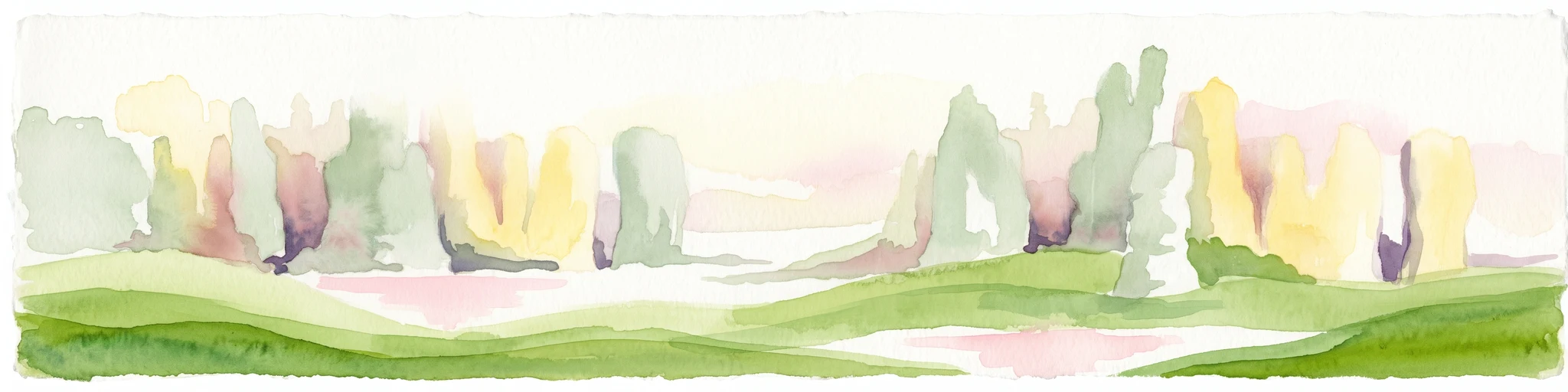
A soft, watercolor painting of a terraced landscape with shallow pools, grassy slopes, and distant tree-lined hills.
Protected areaSichuan
Park boundaries overlap#2 closest

Northwest

Huanglong Scenic and Historic Interest Area: Protected Alpine Landscapes and Travertine Map

High-altitude karst geography in the Minshan Mountains of Sichuan

Huanglong Scenic and Historic Interest Area presents a unique geological profile centered on a long valley of stepped travertine pools that cascade through alpine forests and meadows. This protected area offers a distinct look at the high-mountain geography of Sichuan, providing a clear view of how mineral-rich springs, deep canyons, and glaciated summits create a layered and ecologically significant environment for rare wildlife.

Area
600 km²
Established
1992
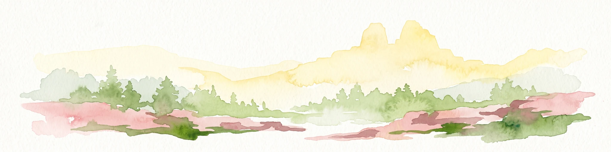
A horizontal watercolor illustration depicting a soft, rolling landscape with green fields, a winding stream, a line of trees, and distant hills against a plain background.
National parkSichuan
Park boundaries overlap#3 closest

Northwest

Jiuzhaigou National Park: Mapped Geography and Protected Area Overview in Sichuan, China

Travertine terrace systems and high mountain forest landscapes

Located on the edge of the Qinghai-Tibet Plateau, Jiuzhaigou is a protected landscape characterized by a network of clear alpine lakes known as haizi and extensive coniferous forest blocks. The park showcases a rare interplay of water and mineral-rich rock, creating expansive travertine dams and cascading waterfalls across its three main gullies. This atlas entry focuses on the regional geography, habitat distribution, and natural terrain that constitute the essential character of this prominent conservation area within the Min Mountains.

Area
720 km²
Established
1978
Relief
Mountain
Climate
Alpine
Nature reserveSichuan
Park boundaries overlap#4 closest

West

Wolong National Nature Reserve: Mapping Sichuan's Rugged Mountain Protected Lands

A critical mountain nature reserve in the Qionglai range.

Delve into the geography of Wolong National Nature Reserve, a cornerstone of China's protected areas. This site offers insight into the vertical ecology of the eastern Qionglai Mountains, where steep river valleys and extensive bamboo forests characterize the transition toward the Tibetan Plateau. Access map-based insights into this essential wildlife corridor and its role in the larger regional landscape.

Area
2,000 km²
Established
1963
Relief
Mountain
Climate
Alpine
Nature reserveZhaotong
About 184 km away#5 closest

Southwest

Dashanbao Black-necked Crane National Nature Reserve Geographic and Atlas Overview

Protected highland wetlands within the Zhaotong regional geography.

Dashanbao Black-necked Crane National Nature Reserve is a nationally significant protected area in Zhaotong, representing a rare high-elevation wintering habitat for migratory cranes. This rugged plateau landscape features shallow marshlands, alpine grasslands, and an interconnected system of lakes that support delicate highland ecological zones. Use this atlas resource to understand the park terrain and its formal conservation boundaries within the broader context of northeast Yunnan.

Area
192 km²
Established
1990
Relief
Mountain
Climate
Subtropical
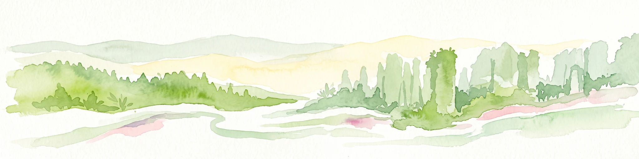
A minimalist watercolor painting featuring soft, abstract layers of rolling green hills in the midground and pale, hazy mountain peaks in the background, set against a light background.
Nature reserveSichuan
About 199 km away#6 closest

Southwest

Sichuan Yading National Nature Reserve: Mapped Protected Landscapes in Western Sichuan

High altitude terrain, glaciated peaks, and alpine geography.

Sichuan Yading National Nature Reserve is a significant protected area in the Garzê Tibetan Autonomous Prefecture, home to the Three Holy Mountains and extensive glacial features. This entry details the reserve geography, focusing on the distribution of alpine meadows, high elevation forests, and the dramatic vertical landscape carved by the Litang River tributaries.

Area
3,815.06 km²
Established
1996
Relief
Mountain
Climate
Alpine
National parkQinghai
373 km away#7 closest

West

Sanjiangyuan National Park: Qinghai's High-Altitude Headwater Protected Landscape

Mapped geography of the Yellow, Yangtze, and Mekong river sources.

Sanjiangyuan National Park, situated in the high-altitude Qinghai region of China, is a crucial protected area established to safeguard the headwaters of three of Asia's most significant rivers: the Yellow, Yangtze, and Mekong. Covering an immense area with an average elevation exceeding 4,700 meters, the park preserves vital alpine wetlands, grasslands, and the source ecosystems that sustain hundreds of millions downstream. Its protected landscape identity is defined by its extreme elevation, vast marshlands, and its role as a critical water source, offering unparalleled opportunities for geographic and atlas-style exploration of pristine high-altitude terrain.

Area
190,700 km²
Established
2021
IUCN
II
Relief
Highland
Protected areaYunnan
About 385 km away#8 closest

Southwest

Three Parallel Rivers of Yunnan Protected Areas: Mapped Geography and Protected Mountain Terrain

An atlas perspective on the Hengduan Mountain river corridor

The Three Parallel Rivers of Yunnan Protected Areas represents a unique geographic phenomenon in the Hengduan Mountains of China. The protected area is defined by deep, parallel river canyons, massive snow-capped peaks, and an exceptional vertical range of ecosystems. This atlas entry focuses on the regional layout, mapped mountain corridors, and the ecological significance of a site where three major rivers flow in close proximity for over 170 kilometers.

Area
17,000 km²
Established
2003
Relief
Mountain
Climate
Alpine
National parkKachin State
About 428 km away#9 closest

Southwest

Hkakaborazi National Park: National Park Protected Landscape and Map Explorer

Explore its mapped boundaries and regional geography in Kachin State.

Hkakaborazi National Park serves as a critical protected area within Kachin State, offering a unique geographic profile for atlas and map exploration. This dedicated entry focuses on its identity as a national park, detailing its mapped landscape context and its role within the broader protected areas network. Understand the specific geographic features and boundaries that define this important natural landscape, essential for any detailed cartographic or regional study.

Area
3,810 km²
Established
1998
IUCN
II
Relief
Mountain
Wide watercolor painting of tall pale rock formations in a green field under a pastel sky.
Protected landscapeYunnan
About 458 km away#10 closest

South

Shilin Scenic Area: Mapping the Karst Pinnacles and Protected Landscape of Yunnan

A detailed look at limestone morphology and plateau geography.

Shilin Scenic Area offers a comprehensive study of karst pinnacle development within the Yunnan province. The terrain is characterized by jagged limestone towers, deep solution fissures, and intricate subsurface drainage, providing a clear example of plateau-based geological processes. This protected area stands as a central feature in regional geography, showcasing both surface stone forests and hidden cave environments.

Established
1982
National parkMyanmar
About 463 km away#11 closest

Southwest

Emawbum National Park: Myanmar's Protected National Park Landscape Identity

Explore the geography and mapped boundaries.

Emawbum National Park offers a distinct focus for understanding protected areas within Myanmar. This detail page facilitates an exploration of its unique geographic setting and the mapped extent of its protected landscape. Discover what makes this national park a vital component of regional geographic context for atlas-based discovery and conservation insights.

IUCN
II
Protected landscapeHenan
About 484 km away#12 closest

Northeast

郑州黄河风景名胜区: Geographic Profile of a Henan Protected Landscape

Mapping the confluence of the Yellow River and Mang Mountain

The 郑州黄河风景名胜区 is a prominent protected landscape in Henan that highlights the dynamic geography of the Yellow River basin. Characterized by the transition between loess highlands and river floodplains, this area offers an essential study of how terrain and water define regional boundaries. Users can examine the specific topographical features, including Wulong Peak and the river-facing ridges, that distinguish this site within the broader Central China atlas.

Area
20 km²
Established
1981
Relief
Upland
Climate
Temperate
Protected areaHunan
496 km away#13 closest

Southeast

Wulingyuan Scenic and Historic Interest Area: Quartz-Sandstone Peak Forest and Protected Geography

Explore the tectonic landscape and forest-covered plateau in Hunan Province.

Wulingyuan Scenic and Historic Interest Area represents a massive protected landscape in Hunan, China, defined by its extraordinary density of quartz-sandstone pillars. This atlas record documents the geological signature of these vertical rock formations, the surrounding gorge networks, and the high-canopy forest environment that characterizes this significant regional landform.

Area
264 km²
Established
1982
Relief
Mountain
Climate
Subtropical
National parkArunachal Pradesh
About 589 km away#14 closest

Southwest

Namdapha National Park: A National Park Detailed Entry for Geographic and Atlas Exploration

Explore mapped boundaries and regional landscape context in Arunachal Pradesh.

Namdapha National Park serves as a key protected area, offering a unique opportunity for structured geographic discovery. This entry focuses on its designation as a national park, providing detailed information about its mapped landscape, regional setting within Arunachal Pradesh, and overall protected territory context. It is designed to assist users in understanding the park's boundaries and its significance within a broader atlas framework.

Area
1,985 km²
Established
1983
IUCN
II
Relief
Mountain
Wildlife reserveArunachal Pradesh
About 612 km away#15 closest

West

Mehao Wildlife Sanctuary: Geography and Protected Habitat Mapping in Northeast India

A diverse reserve within the Eastern Himalaya biodiversity hotspot.

Mehao Wildlife Sanctuary protects an expansive landscape featuring rare orchid-rich forests and high-altitude lake ecosystems. By preserving terrain that spans subtropical valleys to temperate coniferous ridges, this reserve provides essential habitat for iconic species like the Mishmi takin and red panda. Examine the complex forest layers and geographic features that define this significant Indian protected area.

Area
281.5 km²
Established
1980
IUCN
II
Relief
Mountain
Wildlife reserveArunachal Pradesh
About 617 km away#16 closest

West

Dibang Wildlife Sanctuary: Protected Landscape and Geography in Arunachal Pradesh

A vast eastern Himalayan wildlife reserve in the Mishmi Hills

Located in the Upper Dibang Valley, this wildlife reserve occupies an expansive mosaic of montane forests and steep gorges. As a key segment of the Dihang-Dibang Biosphere Reserve, the sanctuary provides vital habitat continuity across elevation gradients ranging from river valleys to high temperate slopes, forming a major unit of protected land in the Indian Himalayas.

Area
4,149 km²
Established
1992
IUCN
IV
Relief
Mountain
Wildlife reserveArunachal Pradesh
About 665 km away#17 closest

West

D'Ering Memorial Wildlife Sanctuary: Mapped Grassland and Floodplain Geography

A vital wildlife reserve within the Arunachal Pradesh landscape.

Spanning 190 square kilometers in the eastern Himalayas, D'Ering Memorial Wildlife Sanctuary is a distinct floodplain reserve characterized by open grasslands and riverine forest patches. The sanctuary serves as a key ecological anchor in the Siang river system, offering a look at managed, low-lying habitats that support predators and small mammals across the plains of Arunachal Pradesh.

Area
190 km²
Established
1978
IUCN
IV
Scope
Terrestrial
Wildlife reserveArunachal Pradesh
About 673 km away#18 closest

West

Yordi Rabe Supse Wildlife Sanctuary: Protected Forest Landscapes and Himalayan Geography

A detailed map and atlas overview of West Siang district terrain

Spanning elevations between 1,500 and 2,500 meters, this wildlife reserve in Arunachal Pradesh acts as a crucial refuge for high-altitude ungulates and rare mammals. The sanctuary offers a unique look at continuous vegetation gradients ranging from tropical canopy to coniferous pine forest, defining the ecological character of this eastern Himalayan mountainous region.

Area
397 km²
Established
1996
IUCN
IV
Relief
Mountain
National parkAssam
About 674 km away#19 closest

Southwest

Dehing Patkai National Park: Assam's Extensive Lowland Tropical Rainforest Atlas

Explore mapped boundaries and critical primate habitat.

Dehing Patkai National Park is a vital protected area in Assam, renowned as India's largest contiguous lowland rainforest. This park provides a crucial habitat for diverse species, notably featuring seven primate species including the Hoolock gibbon, and serves as a key elephant reserve. Explore the mapped geography of this unique four-layered tropical forest ecosystem, understanding its ecological significance and protected landscape identity within northeastern India.

Area
231.65 km²
Established
2004
IUCN
II
Relief
Lowland
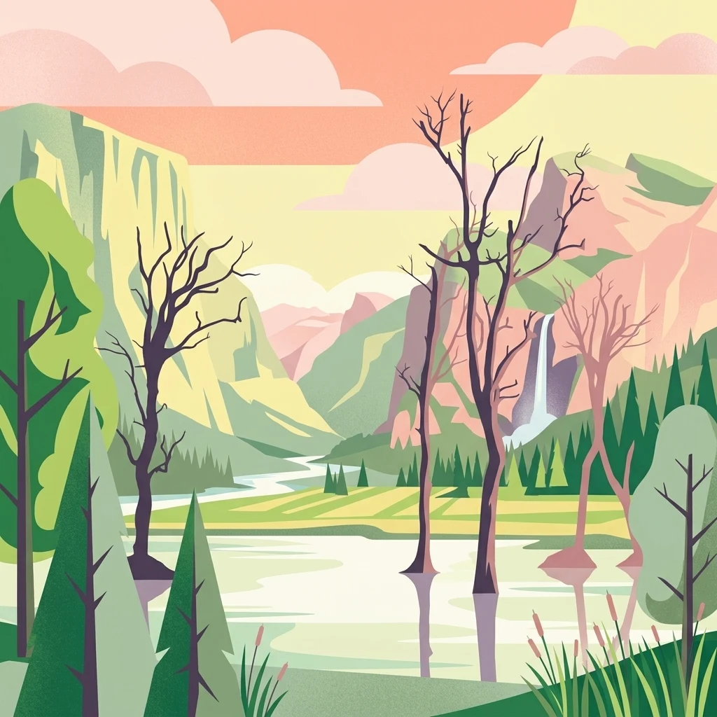
Illustration of a landscape with green mountains, a river, bare trees, and a waterfall under a colorful sky
National parkAssam
About 678 km away#20 closest

West

Dibru-Saikhowa National Park: Mapped Protected Landscape and Regional Geography

Explore Assam's protected natural terrain and park boundaries.

Dibru-Saikhowa National Park represents a key protected area, providing valuable insight into the natural geography and landscape context of Assam. As a designated national park, its mapped boundaries and distinct regional setting are crucial for understanding the distribution of conservation lands in northeastern India. Explore the geographic specifics and atlas relevance of Dibru-Saikhowa National Park for a structured view of this protected landscape.

Area
350 km²
Established
1999
IUCN
II
Relief
Lowland
Distance methodology

Geographic measurements, not driving distances

How nearby park distances are calculated

Distances use park boundaries whenever the available geometry allows it. When one or both boundaries are missing, the mapped park locations provide a clearly labelled estimate. Every value represents straight-line geographic separation and does not use roads or routing.

Boundary distance

Calculated between the nearest points of both park boundaries.

Location-to-boundary estimate

Estimated from one mapped park location to the nearest boundary of the other park.

Mapped-location estimate

Estimated between the mapped locations of both parks.

MoriAtlas Explorer

Continue Exploring Giant Panda National Park's Geographic and Landscape Context

Delve deeper into the geographic identity and protected landscape of Giant Panda National Park. Understanding its expansive mapped boundaries and diverse terrain offers crucial insights into its role as a vital sanctuary for pandas and other wildlife across western China. This focus on landscape-scale conservation provides a unique lens for exploring regional protected areas and their ecological significance.