Mori Atlas logo
Park earthquake history

A historical dataset of epicentre distances and magnitude records for the regional landscape.

Recorded Earthquake History and Seismic Activity Records for Greater Bendigo National Park

Explore a structured catalogue of seismic events recorded in the vicinity of Greater Bendigo National Park. This historical dataset identifies individual earthquakes based on their proximity to the protected woodland boundaries, providing access to essential event details including epicentre coordinates, timing, and magnitude. The collection serves as an informative resource for understanding past regional seismic records within the context of Victorian geography.

Related tags

National ParkVictoria AustraliaBox-Ironbark ForestSwift Parrot HabitatWoodland Bird Area

Victorian box-ironbark woodland sanctuary protecting swift parrot habitat near Bendigo

Greater Bendigo National Park

Greater Bendigo National Park is a protected area in the Loddon Mallee region of Victoria, Australia, situated approximately 150 kilometers northwest of Melbourne. The park encompasses approximately 17,020 hectares of box-ironbark forest and woodland ecosystems, making it one of the largest remaining areas of this distinctive Victorian forest type. Established in 2002 through the consolidation of several former reserves including Whipstick State Park, Kamarooka State Park, One Tree Hill Regional Park, Mandurang State Forest, and Sandhurst State Forest, the park serves as a critical refuge for biodiversity in a region historically dominated by gold mining and agricultural activity. The park lies immediately east of the city of Bendigo and provides important recreational opportunities for local communities while serving as a living reminder of Victoria's forest heritage.

Location
Australia
Park type
National park
Established
2002
Area
170 km²
Greater Bendigo National Park protected area atlas

Review Greater Bendigo National Park dates, depths, and distances

Study historical earthquake records around Greater Bendigo National Park

Greater Bendigo National Park’s earthquake collection compares reported epicentres with a Victorian box-ironbark woodland park, calculating distance for each event. Dates, magnitudes, depths, locations, separation, and sources document past observations without implying that proximity means an inside-park event, woodland impact, current warning, causal connection, or forecast.

Sort by
Magnitude
Location

This page describes catalogued earthquakes associated with the park by epicentre location and distance. It does not establish causation, assess current danger, or predict future earthquakes.

No earthquake records match the current filters

Park atlas

Go beyond Greater Bendigo National Park earthquake history

Discover other protected parks after Greater Bendigo National Park

Beyond the Greater Bendigo National Park earthquake catalogue, this section supports wider park discovery through separately framed destinations. It makes no claim of shared Box-Ironbark forest, Victoria geography, wildlife habitat, national-park status, proximity, seismic evidence, hazard, risk, or dedicated earthquake pages; each profile defines its own scope.
National parkAustralia
30 km away#1 closest

North

Terrick Terrick National Park: National Park Geography and Protected Land Exploration

Semi-arid woodland and grassland ecosystems in northern Victoria.

Terrick Terrick National Park represents a crucial protected area showcasing the characteristic Box-Ironbark forest and native grassland ecosystems of northern Victoria. This park is defined by its gently undulating terrain and semi-arid woodland character, offering a distinct natural landscape for geographic study and atlas exploration. Its mapped extent clearly delineates an environment vital for conservation, providing a valuable point of reference for understanding regional protected land distribution and ecological significance within Australia.

Area
38.8 km²
Established
1988
IUCN
II
Relief
Lowland
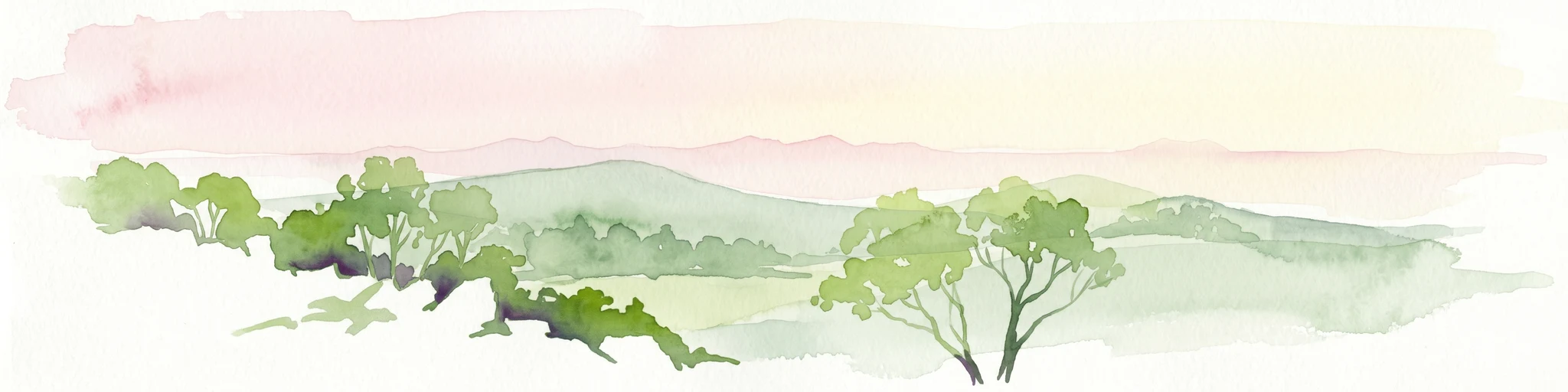
Watercolor painting of green trees, rolling hills, and a pastel sky.
National parkAustralia
32 km away#2 closest

East

Heathcote-Graytown National Park: Protected Box-Ironbark Forests and Swift Parrot Habitat

Mapping the landscape and geography of this Australian National Park.

Heathcote-Graytown National Park is a significant protected area safeguarding one of Victoria's remaining box-ironbark forest ecosystems. Its landscape, nestled within the Great Dividing Range, provides essential habitat for migratory swift parrots and supports diverse woodland bird species recognized by BirdLife International. Explore the park's mapped terrain and understand its role within the Central Highlands' regional geography as a vital conservation landscape.

Area
128.33 km²
Established
2002
IUCN
II
Relief
Mountain
National parkAustralia
58 km away#3 closest

Northeast

Lower Goulburn National Park: Australia's River Red Gum Woodland Protected Landscape

Explore mapped boundaries and riparian geography.

Lower Goulburn National Park in Victoria, Australia, safeguards a critical segment of the Goulburn River, celebrated for its magnificent river red gum woodlands. This protected area offers a linear exploration of a rare riparian ecosystem, providing essential habitat and scenic beauty. Understand its geographic layout, mapped extent, and the distinctive landscape formed by these iconic Australian trees, offering a vital natural contrast to the surrounding agricultural areas.

Area
93.1 km²
Established
2010
IUCN
II
Relief
Lowland
National parkAustralia
58 km away#4 closest

North

Gunbower National Park: A National Park Protecting River Red Gum Forests and Ramsar Wetlands

Explore its mapped riverine landscape and regional protected area context.

Gunbower National Park offers a unique glimpse into Victoria's vital floodplain ecosystems, prominently featuring extensive River Red Gum forests and Ramsar-designated wetlands. This protected national park, situated along the Murray River, serves as a crucial sanctuary for migratory bird species within the Murray-Darling Basin. Its landscape is defined by waterways like Gunbower Creek and a mosaic of aquatic habitats, representing an important conservation area for its ecological communities and geographic significance.

Area
93.3 km²
Established
2010
IUCN
II
Relief
Lowland
National parkNew South Wales
66 km away#5 closest

Northeast

Murray Valley National Park: Explore its Mapped Boundaries and Regional Geography in New South Wales

Protected landscape identity and geographic context.

Gain a structured understanding of Murray Valley National Park, a designated national park within New South Wales. This detail page provides essential geographic context, highlighting the park's mapped boundaries and its significance as a protected natural landscape. Utilize this entry point for comprehensive atlas-based exploration of its unique regional setting and terrain.

Area
416.01 km²
Established
2010
IUCN
II
Relief
Lowland
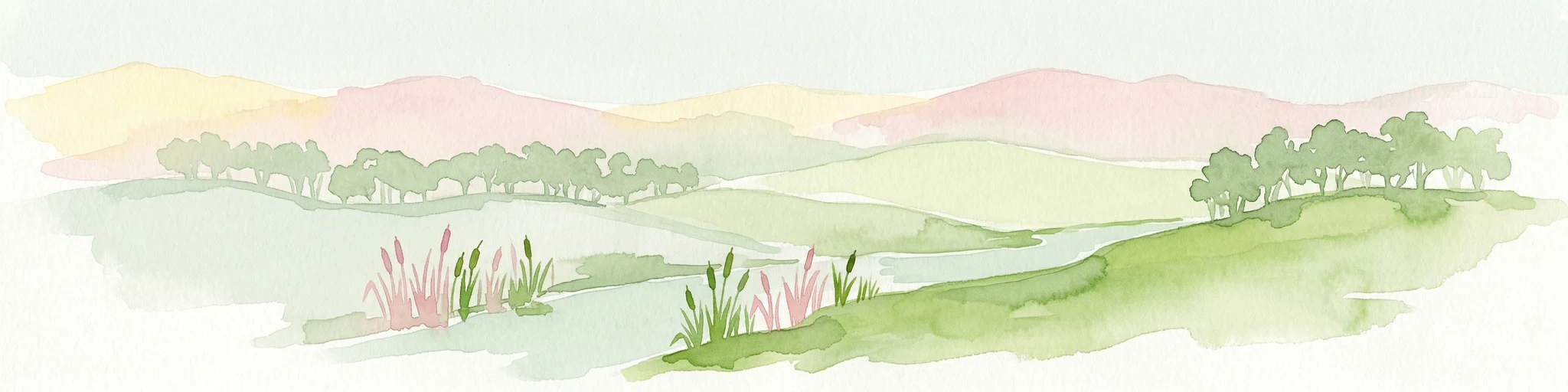
Watercolor illustration of a river landscape with green hills, trees, and pink reeds
National parkAustralia
73 km away#6 closest

Northeast

Barmah National Park National Park: World's Largest River Red Gum Forest Landscape

Explore Mapped Boundaries and Wetland Geography

Barmah National Park in Victoria, Australia, is renowned for protecting the largest river red gum floodplain forest on Earth, a globally significant Ramsar-listed wetland. This protected area's landscape is defined by majestic eucalypts bordering freshwater marshes along the Murray River. Dive into its distinct geography, mapped terrain, and the protected status of this remarkable ecosystem, offering unparalleled opportunities for understanding regional natural landscapes and conservation.

Area
285.21 km²
Established
2010
IUCN
II
Relief
Lowland
National parkAustralia
77 km away#7 closest

West

Kara Kara National Park: Mapped Protected Landscape and Box-Ironbark Forest Ecology

Explore Victoria's protected natural geography and woodland habitats.

Kara Kara National Park is an essential protected area in Victoria, Australia, recognized for its significant box-ironbark forest ecosystems and the conservation of the endangered swift parrot. The park's geography is defined by the St Arnaud Range, offering a distinct topography of ridges and valleys that contrast with the surrounding plains. Understanding this park's mapped boundaries and its role within the regional landscape provides critical insight into its ecological value and its representation of historical woodland environments.

Area
139.9 km²
Established
2002
IUCN
II
Relief
Upland
National parkAustralia
92 km away#8 closest

South

Brisbane Ranges National Park: Mapped Protected Terrain and Wildlife Observation

Explore its landscape context and geographic identity.

Brisbane Ranges National Park offers a protected natural landscape west of Melbourne, known for its accessible bushland scenery and wildlife observation opportunities. As a national park, it preserves a unique region of forested gullies and moderate elevation hills, providing valuable insight into Victoria's geographic diversity. Explore the mapped terrain, understand the park's role as a protected area, and discover the features that make it a distinct component of Australia's natural atlas.

Area
77.18 km²
Established
1973
IUCN
II
Relief
Upland
MoriAtlas Explorer

Continue Exploring Greater Bendigo National Park's Protected Landscape and Geography

Deepen your understanding of Greater Bendigo National Park by examining its protected landscape features and regional geographic context. Discover its vital role as a national park safeguarding Victoria's unique box-ironbark woodlands and supporting critical bird habitats. Continued exploration reveals the mapped natural terrain and ecological significance of this protected area.