
Mori Atlas logo
Nearby park discovery

Geographic discovery of nearby protected sites within the North Rhine-Westphalia landscape

Protected Areas and Natural Landscapes Near Houverather Bach und Nebenbäche, Eifel

Browse the distribution of nature reserves and protected areas surrounding the stream valleys of Houverather Bach und Nebenbäche. This geographic overview highlights the density of riparian corridors, wet meadows, and forest stands across the Eifel foothills, allowing for a broader understanding of regional land protection patterns near the Rhineland-Palatinate border.

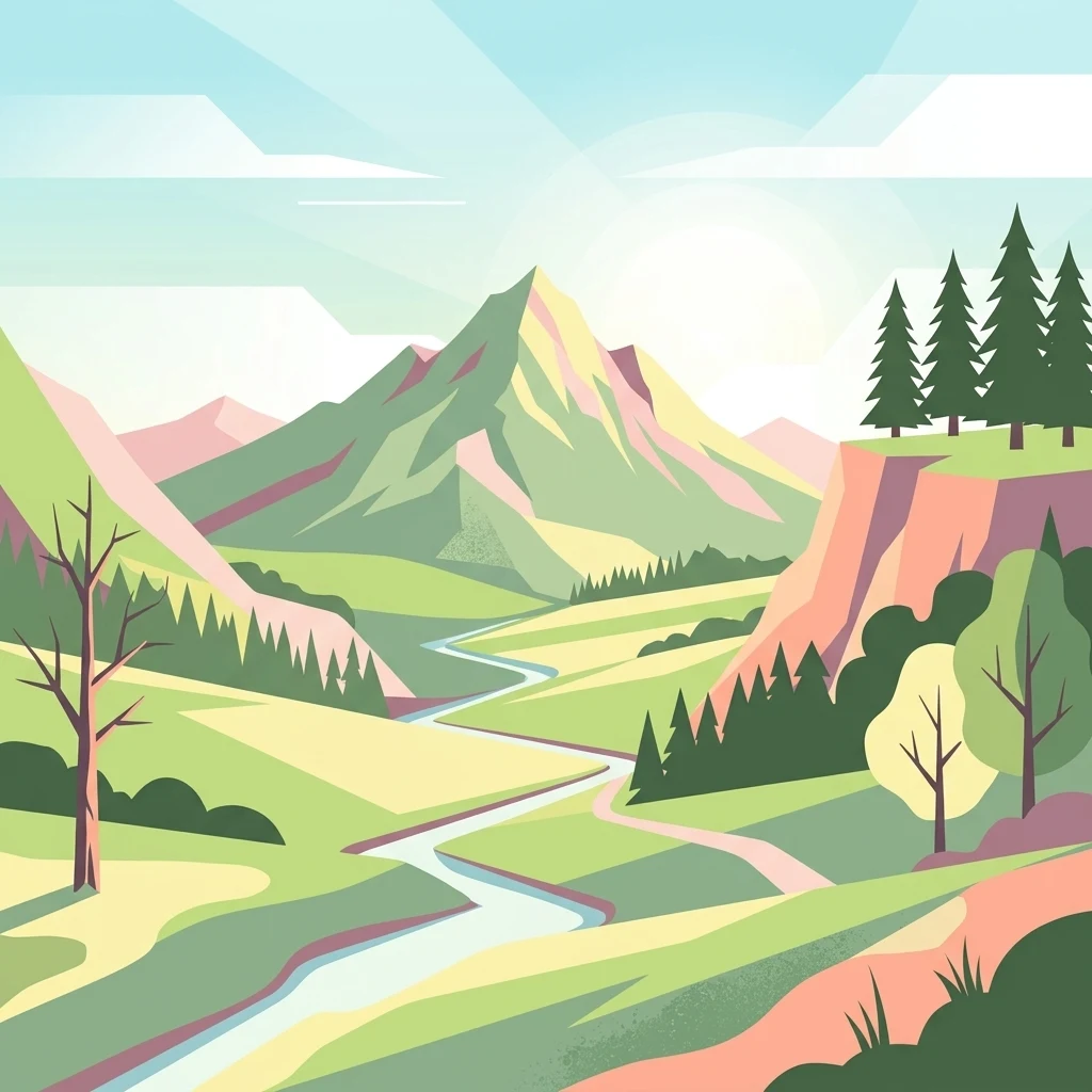
Vector illustration showing a valley with a winding river, distant mountains, pine forests, and a sunlit sky.

A patchwork stream valley sanctuary in the Eifel protecting wet meadows, reed belts, and stream-side woodlands.

Houverather Bach und Nebenbäche Nature Reserve

Houverather Bach und Nebenbäche is a small nature reserve in the Eifel region of western Germany, lying on the territory of the town of Bad Münstereifel in the district of Euskirchen, North Rhine-Westphalia. Rather than a single contiguous block, the reserve is composed of eight separate parcels that together follow the Houverather Bach and several of its tributary streams south and east of the Bad Münstereifel town centre. The protected area sits near the state border with Rhineland-Palatinate, occupying transitional terrain between agricultural land, straightened lowland brooks, wet meadows, and small patches of stream-side woodland. Although compact in scale, it preserves a mosaic of habitats typical of the northern edge of the Ahr Eifel, including brook valleys, wet grassland, fish ponds with reed fringes, and reforested and older conifer stands along tributaries. Designated in 2007 under the official code EU-159, the reserve is best understood as a stream-valley conservation site shaped by centuries of agricultural use, where stream channels, wet meadows, and riparian vegetation have been formally brought together under a single protection framework for the benefit of meadow-breeding birds, butterflies, and characteristic wetland flora.

Location
Germany
Park type
Nature reserve
Established
2007
Area
0.7 km²
Houverather Bach und Nebenbäche Nature Reserve Atlas
Regional park map

See the ranked park cluster in its geographic setting

Nearby parks around Houverather Bach und Nebenbäche Nature Reserve

This regional map shows the same 20 nearby parks ranked below around Houverather Bach und Nebenbäche Nature Reserve. Select a ranked marker to highlight that park’s boundary where boundary data is available.
Reference park: Houverather Bach und Nebenbäche Nature ReserveRanked nearby park20 nearby parks shown
20 nearby parks

Ranked spatial proximity, surrounding regional geography, and comparative environmental context

Parks and Protected Areas Geographically Near Houverather Bach und Nebenbäche

Nearby protected areas are ordered by direct geographic separation to map surrounding regional park geography relative to Houverather Bach und Nebenbäche. Analyzing these adjacent locations provides structural comparison signals across varied terrain and country contexts.
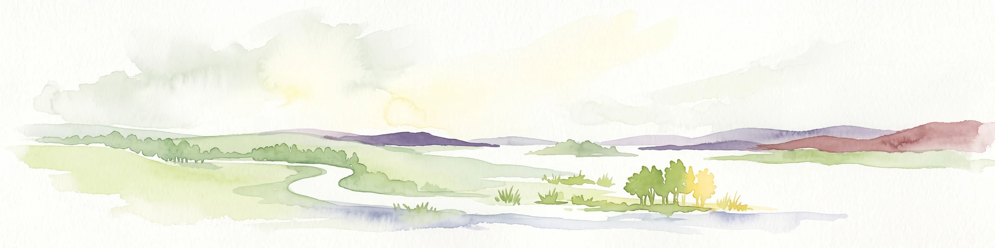
A horizontal watercolor painting depicting a gentle, hazy green landscape with rolling hills, a line of trees, and a foreground meadow.
Protected landscapeNorth Rhine-Westphalia
About 2 km away#1 closest

North

Naturpark Rheinland: Geography and Protected Area Overview in North Rhine-Westphalia

A complex metropolitan nature park and lake district

Naturpark Rheinland represents a distinct convergence of reclaimed lignite mining landscapes, quiet lowland forests, and floodplain wetlands. Its mapped boundaries reveal a diverse terrain of ridges and river valleys that define the environmental character of the Cologne-Bonn metropolitan region.

Area
1,045 km²
Established
1959
Relief
Upland
Climate
Temperate
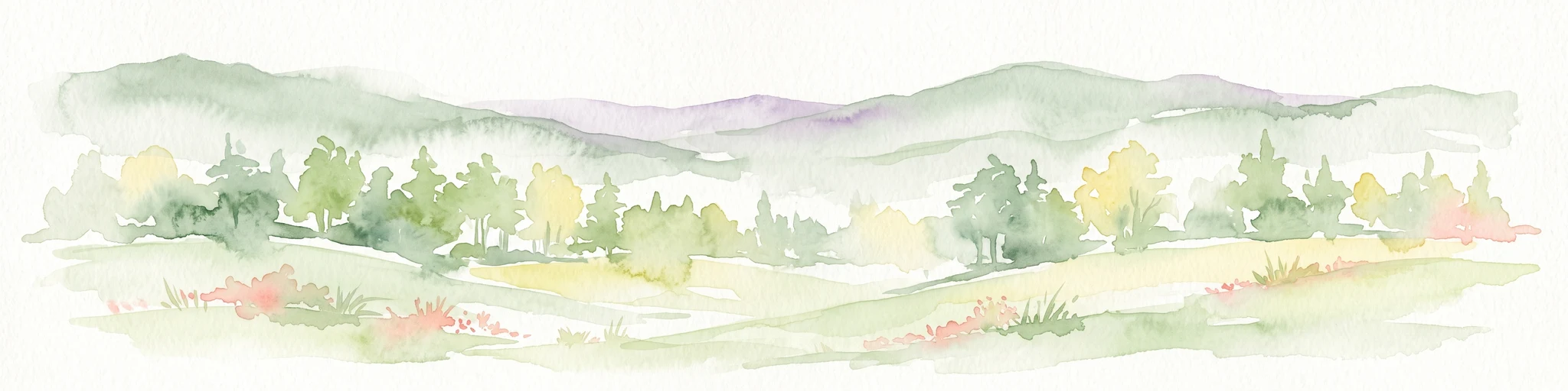
A watercolor painting of a gentle, rolling landscape with soft-focus hills in the distance and a cluster of light green and yellow trees in the middle ground.
Nature reserveNorth Rhine-Westphalia
About 11 km away#2 closest

Northwest

Kalkarer Moor / Tongrube Toni: Wetland Mosaic and Protected Reserve in North Rhine-Westphalia

A study of calcareous fens and industrial landscape recovery.

Located in the Euskirchen district, this nature reserve is defined by the coexistence of a centuries-old calcareous flat mire and an abandoned clay pit now transformed into a vibrant groundwater wetland. The site provides a distinct look at hydrological recovery, featuring a dense patchwork of reedbeds, damp meadows, and successional woodland that remains ecologically vital for regional flora and avian habitats.

Area
0.496 km²
Established
1935
Relief
Lowland
Climate
Temperate
Nature reserveNorth Rhine-Westphalia
About 16 km away#3 closest

Southwest

Vogelschutzgebiet Ahrgebirge Nature Reserve, North Rhine-Westphalia Protected Landscape

Mapped ridge terrain and woodland habitat in the western Eifel region

The Vogelschutzgebiet Ahrgebirge serves as a significant nature reserve protecting the North Rhine-Westphalian side of the Ahrgebirge ridge. Its geography consists of dense, near-natural deciduous forests, stream-cut valleys, and deadwood habitats that provide breeding ground for specialist avian species, forming part of a larger interconnected network across the Rhenish Slate Mountains.

Area
5.8 km²
Established
2004
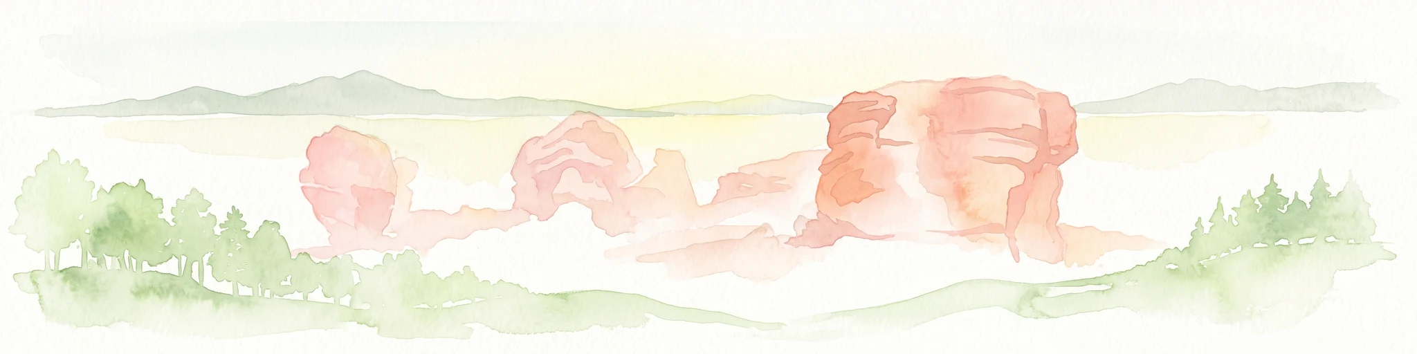
A horizontal watercolor illustration showing red sandstone rock formations nestled among stylized green trees against a pale yellow background.
Nature reserveMechernich
About 16 km away#4 closest

West

Katzensteine Nature Reserve: Red Sandstone Formations and Archaeological Heritage in Mechernich

Protected geological terrain in the North Rhine-Westphalia Eifel region

Katzensteine stands as a distinctive protected landscape defined by 15 meter high red Middle Buntsandstein cliffs. Beyond its geological status, the nature reserve links Stone Age archaeology and Roman industrial history within the Veybach valley. This area provides essential context for the broader sandstone belt spanning the Eifel, showcasing the interplay between natural erosion, sediment layering, and long-standing human presence in the German landscape.

Established
1937
Relief
Upland
Climate
Temperate
Access
Access unknown
Nature reserveNorth Rhine-Westphalia
About 17 km away#5 closest

West

Kakushöhle Nature Reserve: Atlas and Geographic Mapping of an Eifel Travertine Landscape

Geographic study of travertine cave formations and archaeological terrain in Germany

Kakushöhle constitutes an essential protected area for understanding travertine rock formation and human history within the Eifel. The site features an open cave complex nestled in the Kakusfelsen, providing a clear window into prehistoric geological and human occupation patterns across the North Rhine-Westphalia landscape.

Area
0.058 km²
Established
1932
Relief
Upland
Climate
Temperate
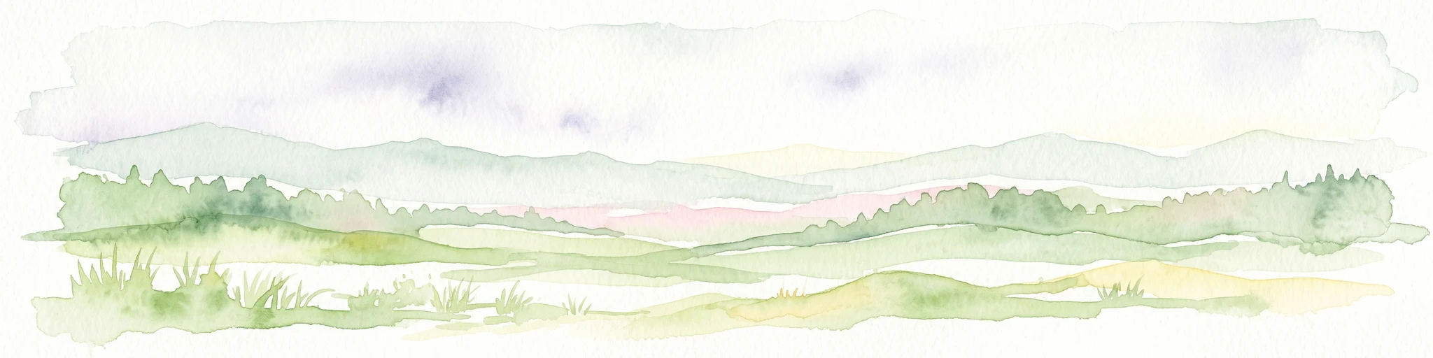
A soft watercolor painting depicting a panoramic landscape with rolling green hills, patches of forest, and gentle terrain.
Nature reserveNordrhein-Westfalen
About 17 km away#6 closest

Northeast

Kottenforst-Waldville Nature Reserve: Protected Landscape Geography and Forest Mapping

A significant oak-hornbeam woodland complex within Nordrhein-Westfalen.

Kottenforst-Waldville comprises extensive, interconnected forest blocks defined by their high-value oak-hornbeam stands and rare woodland pools known as Maare. This protected area supports a dense regional network of spring brooks and floodplain woodlands, serving as a critical refuge for woodpecker populations and raptors within the anthropogenically shaped landscape of the Rhine valley.

Area
35.853 km²
Established
2004
Nature reserveRhineland-Palatinate
About 18 km away#7 closest

Southeast

Nettetal Nature Reserve: Geography and Protected Boundaries in Rhineland-Palatinate

Steep-sided valley landscapes and biodiversity corridors.

Nettetal Nature Reserve offers a deep look into the geomorphology of a classic Kerbtal in Rhineland-Palatinate. This protected area along the Nette tributary showcases a rare density of contrasting terrains, from sun-exposed rock formations to damp valley floors, providing a clear window into regional conservation mapping.

Area
7.05 km²
Established
1986
Scope
Terrestrial
Water
Major water bodies
A pale watercolor painting showing soft green hills, distant mountain silhouettes, and light forest vegetation against a white background.
Nature reserveRheinland-Pfalz
About 20 km away#8 closest

Southeast

Hohe Acht Nature Reserve: Geographic Profile and Protected Landscape of the Eifel Range

Highest volcanic summit in the Rhenish Massif

Hohe Acht reaches 746 meters in the Hocheifel, marking the highest point in the entire Eifel mountain region. As a protected nature reserve, the mountain features an eroded volcanic basalt neck surrounded by dense mixed woodland. Its elevation and prominent position above the surrounding ridges create a distinct focal point in the regional geography of Rhineland-Palatinate, providing a unique look at ancient volcanic history.

Area
1.67 km²
Established
1970
Relief
Mountain
Climate
Temperate
Nature reserveRhineland-Palatinate
About 21 km away#9 closest

Southeast

Wacholderheiden Raßberg und Heidbüchel: Protected Juniper Heathland in Rhineland-Palatinate

Mapping traditional Eifel bergheide landscapes

Located in the Arft municipality, this nature reserve protects two distinct sections of Raßberg and Heidbüchel. The area is defined by its characteristic juniper-dotted slopes that exemplify the rare mountain-heath ecosystems once common across the German uplands. This site serves as a vital anchor for regional habitat conservation within the broader Rhein-Ahr-Eifel landscape context.

Area
0.24 km²
Established
1981
Relief
Upland
Scope
Terrestrial
Nature reserveNorth Rhine-Westphalia
About 22 km away#10 closest

Northeast

Melbtal Nature Reserve in North Rhine-Westphalia: Map, Terrain, and Geographic Context

Deep-cut forested valley with unique geological instability

Melbtal stands as a protected nature reserve in Bonn, Germany, defined by its steep wooded slopes and the meandering Melbbach. This geographic entity offers a study in earth-science dynamics, featuring active landslides and a distinct cold-air flow that persists within a dense urban setting. Use this atlas perspective to understand the boundaries, terrain, and layered cultural history of one of the region's most prominent green corridors.

Area
0.2 km²
Established
2013
IUCN
IV
Relief
Upland
Nature reserveRheinland-Pfalz
About 23 km away#11 closest

South

Quiddelbacher Höhe / Nürburgring Nature Reserve: A Protected Highland Plateau in the Eifel

Explore the regional geography and conservation landscape of Rheinland-Pfalz

Quiddelbacher Höhe / Nürburgring protects a distinct highland plateau surface known for its rare vegetation and critical role in local ecological conservation. Situated near major transit corridors and the famous racing circuit, the site provides a quiet, open landscape contrast within the larger Ahrweiler region of Germany.

Area
0.27 km²
Established
2002
Relief
Upland
Climate
Temperate
A soft watercolor illustration showing a peaceful landscape with gentle hills, trees, and small ponds reflecting light.
Nature reserveNordrhein-Westfalen
About 23 km away#12 closest

North

Quarzsandgrube Nature Reserve: Geographic Profile and Protected Landscape Context

Protected mosaic of pioneer habitats in the Rhein-Sieg-Kreis

Located on the terrace slopes of the Rhein-Sieg-Kreis, Quarzsandgrube represents a significant refuge for early successional flora and fauna. The site features an uneven terrain of exposed sandy soils and water-filled hollows, providing a vital habitat corridor alongside adjacent protected areas. This detailed geographic profile maps the environmental conditions that define its current status as a protected nature reserve.

Area
0.29 km²
Established
1994
IUCN
IV
Nature reserveRhineland-Palatinate
About 23 km away#13 closest

Southeast

Lehrenkopf Nature Reserve: Mapped Volcanic Terrain and Regional Eifel Geography

Geological landscape and protected botanical site in Ahrweiler

Lehrenkopf stands as a compact nature reserve characterized by its 496-meter volcanic hill, which anchors the botanical and geological identity of the site. Spanning across the municipal territories of Kempenich and Brenk, this protected area serves as a focal point for regional conservation within the Eifel, emphasizing the preservation of rare wild plant species and the maintenance of distinct skyline features in the Ahrweiler district.

Area
0.35 km²
Established
1989
IUCN
IV
Relief
Mountain
Nature reserveRheinland-Pfalz
About 24 km away#14 closest

East

Bausenberg Nature Reserve: Geological Scoria Cone and Volcanic Landscape in Rhineland-Palatinate

Protected Eifel volcanic terrain and ancient earthwork geography.

Bausenberg serves as a protected window into eastern Eifel volcanism, showcasing a classic scoria cone and horseshoe-shaped crater profile. Located between Niederzissen and Waldorf, this 127-hectare reserve preserves critical lava-flow remnants and rare habitats, offering a deep look at the volcanic and human history shaped into the landscape of Rhineland-Palatinate.

Area
1.27 km²
Established
1981
Relief
Mountain
Climate
Temperate
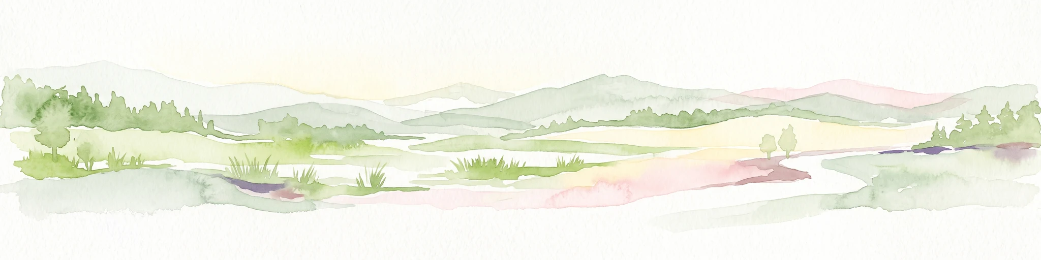
A minimalist watercolor illustration depicting a river winding through soft, rolling hills in pastel tones of green, yellow, and purple.
Nature reserveRhineland-Palatinate
About 25 km away#15 closest

East

Erpeler Ley Nature Reserve: A Volcanic Basalt Landmark in Rhineland-Palatinate

Mapping the geology and protected flora of the Middle Rhine valley.

The Erpeler Ley serves as a monumental volcanic remnant, rising vertically from the Rhine to showcase rare fan-shaped columnar basalt formations. As a protected nature reserve, the site offers vital insight into the heat-loving plant and animal communities that thrive on these ancient lava flows, providing an essential geographic link between the Siebengebirge and the Eifel landscape.

Established
1941
Relief
Mountain
Climate
Temperate
Access
Easy access
Watercolor illustration of rolling green hills and meadows with patches of pink and yellow flowers
National parkNorth Rhine-Westphalia
About 25 km away#16 closest

West

Eifel National Park: North Rhine-Westphalia Protected Area Atlas

Explore mapped boundaries and regional geography.

Gain a structured understanding of Eifel National Park, a key protected area within Germany's North Rhine-Westphalia region. This page focuses on its geographic identity, detailing mapped boundaries and offering context within the state's broader natural landscapes. MoriAtlas enhances your exploration by presenting Eifel National Park as a distinct entity within a larger geographic framework, ideal for atlas-based research and understanding protected land distribution.

Area
107 km²
Established
2004
IUCN
II
Relief
Upland
A horizontal watercolor illustration showing soft, rolling green hills, a background of distant purple mountains, and small clusters of pinkish trees.
Nature reserveNorth Rhine-Westphalia
About 25 km away#17 closest

Southwest

Lampertstal und Alendorfer Kalktriften mit Fuhrbach und Mackental: Eifel Protected Landscapes

A diverse nature reserve in North Rhine-Westphalia featuring karst geography

This extensive nature reserve in the Eifel region serves as a crucial habitat for limestone flora, featuring the largest juniper conservation site in North Rhine-Westphalia. Spanning a complex of valleys and hills, the area demonstrates a distinctive interaction between karst geology, medieval historical sites, and rare calcareous ecosystems that support a wide range of protected species.

Area
11.01 km²
Established
2007
Relief
Upland
Climate
Temperate
A watercolor illustration of a river landscape featuring green plains, a winding river, and rolling hills in the background.
Nature reserveRhineland-Palatinate
About 26 km away#18 closest

East

Naturschutzgebiet Mündungsgebiet der Ahr: Protected Delta and Fluvial Landscape

A dynamic nature reserve in the Rhineland-Palatinate river valley

Located in Sinzig, this protected nature reserve preserves the only remaining natural river-mouth delta of a Rhine tributary. The landscape is defined by continuous sediment deposition and erosion, allowing the Ahr to create a fluid, ever-changing environment of sandbanks and gravel bars. This reserve is essential for observing pioneer biocoenoses and floodplain dynamics within the broader context of Western German river geography.

Established
1981
Scope
Terrestrial
Water
Water-dominated
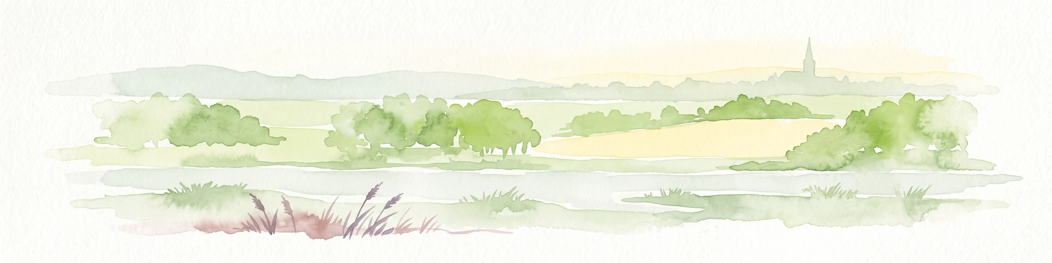
A horizontal watercolor painting of a river landscape with lush green trees, fields, and a distant church spire on the horizon.
Nature reserveRhein-Sieg-Kreis
About 27 km away#19 closest

Northeast

Siegaue und Siegmündung Nature Reserve in Rhein-Sieg-Kreis: A Geographic Overview

Protected floodplain ecosystems and river-mouth geography

The Siegaue und Siegmündung nature reserve protects a critical river-mouth landscape where the Sieg flows into the Rhine. This area features a complex mosaic of wet meadows, softwood alluvial forests, and abandoned river channels, providing essential habitat for migratory waders. The reserve represents a near-natural floodplain environment within the densely populated Cologne-Bonn Rhine plain.

Established
1985
Relief
Lowland
Climate
Temperate
Scope
Terrestrial
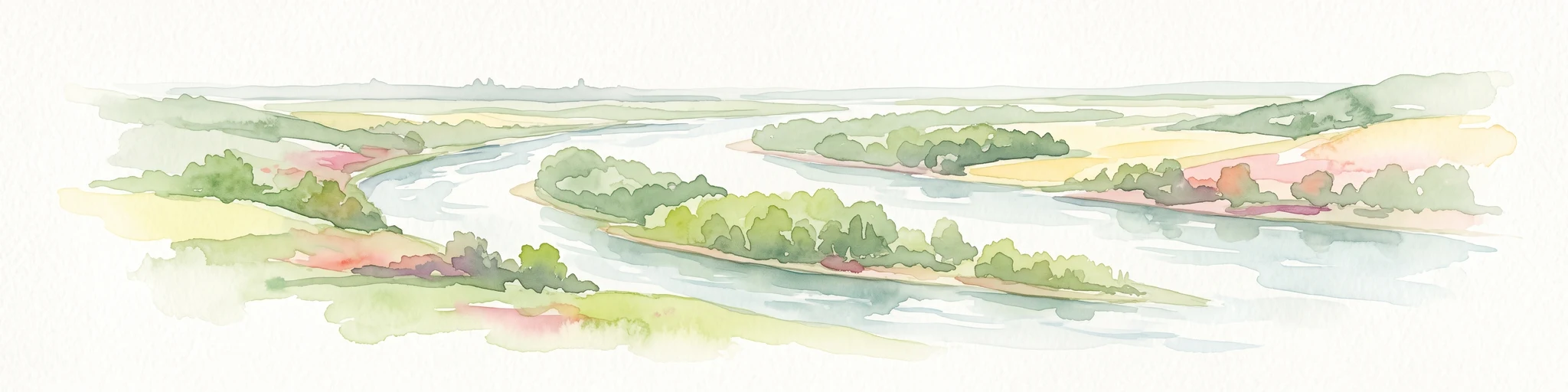
A soft watercolor painting showing a winding river with a lush green island in the middle, surrounded by soft-toned riverbanks and trees.
Nature reserveNorth Rhine-Westphalia
About 27 km away#20 closest

North

Herseler Werth Nature Reserve: Geographic Overview of the Rhine River Island Landscape

A strictly protected riverine refuge in North Rhine-Westphalia

Herseler Werth represents a unique study in protected geography as the only non-publicly accessible Rhine island within North Rhine-Westphalia. Spanning 14.8 hectares, this long, narrow river island serves as a critical, human-excluded sanctuary that protects endangered species from industrial and urban disturbance. Its mapped boundaries and poplar-covered terrain illustrate the complex interaction between historical river hydrology and modern conservation efforts along the busy Bonn-Cologne corridor.

Area
0.148 km²
Established
1993
Relief
Lowland
Climate
Temperate
Distance methodology

Geographic measurements, not driving distances

How nearby park distances are calculated

Distances use park boundaries whenever the available geometry allows it. When one or both boundaries are missing, the mapped park locations provide a clearly labelled estimate. Every value represents straight-line geographic separation and does not use roads or routing.

Boundary distance

Calculated between the nearest points of both park boundaries.

Location-to-boundary estimate

Estimated from one mapped park location to the nearest boundary of the other park.

Mapped-location estimate

Estimated between the mapped locations of both parks.

MoriAtlas Explorer

Explore the Geographic Boundaries and Protected Landscape of Houverather Bach und Nebenbäche

Dive into the technical mapping and spatial structure of this Eifel stream valley reserve. Our MoriAtlas database details how these eight disparate parcels form a coherent network of wet meadows and riparian woodland corridors, providing essential habitat context for this protected site in North Rhine-Westphalia.