Mori Atlas logo
Nearby park discovery

Mapping the geographic distribution and regional context of surrounding natural landscapes

Protected Areas and Wilderness Landscapes Near Kanangra-Boyd National Park in New South Wales

Explore the regional geography and distribution of protected areas surrounding the wilderness terrain of Kanangra-Boyd National Park. This overview provides spatial context for nearby wilderness areas and landscape units within the New South Wales region, highlighting how individual parks connect to the broader physical geography of the Central Tablelands.

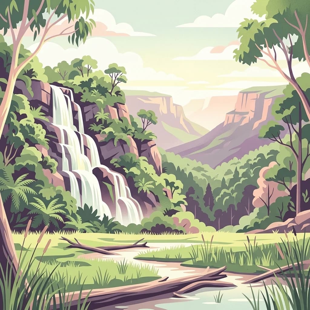
A stylized digital illustration of a waterfall flowing down from high, layered rock cliffs into a foreground stream, framed by eucalyptus trees and forest greenery.

Rugged wilderness on the south-western edge of the Greater Blue Mountains World Heritage Area

Kanangra-Boyd National Park

Kanangra-Boyd National Park is a protected wilderness area located in the Central Tablelands of New South Wales, approximately 180 kilometres south-west of Sydney. The 68,660-hectare park sits on the south-western edge of the Greater Blue Mountains World Heritage Area, contiguous with Blue Mountains National Park to the north and east, and Nattai National Park to the south. The park encompasses two distinct land units: the elevated, gently undulating Boyd Plateau and the dramatic landscape of creeks, rivers, gorges and ridges into which the plateau falls away. The landscape is characterised by rugged terrain, deep gorges, and prominent geological features including the Thurat Spires, Kanangra Walls, and Mount Cloudmaker. Three notable waterfall systems cascade through the park: the Kalang Falls, the two-tiered 225-metre Kanangra Falls, and Morong Falls. The park also contains extensive karst landforms with cave systems that offer exploration opportunities for experienced cavers. The Kanangra-Boyd Wilderness is among the largest and most rugged wilderness areas in New South Wales. The park holds IUCN Category Ib designation as a wilderness area and forms part of the Greater Blue Mountains Area, which was inscribed on the UNESCO World Heritage List in 2000. The geological character is notably distinct from the Permian sandstone formations that dominate the rest of the Blue Mountains, with Palaeozoic basement rocks including quartzite, diorite, Devonian rhyolites, and Silurian phyllites exposed at the surface.

Location
Australia
Park type
National park
Established
1969
Area
686.6 km²
Kanangra-Boyd National Park Protected Area
Regional park map

See the ranked park cluster in its geographic setting

Nearby parks around Kanangra-Boyd National Park

This regional map shows the same 20 nearby parks ranked below around Kanangra-Boyd National Park. Select a ranked marker to highlight that park’s boundary where boundary data is available.
Reference park: Kanangra-Boyd National ParkRanked nearby parkSelected boundary: Kanangra-Boyd National Park20 nearby parks shown
20 nearby parks

Ranked distance relationships and regional protected landscape comparison

Parks and Protected Areas Geographically Near Kanangra-Boyd National Park

Geographic proximity measurements establish a structured ranking of protected areas surrounding Kanangra-Boyd National Park based on boundary separation and regional terrain. Analyzing these neighboring locations reveals broader conservation patterns across the surrounding plateau and gorge ecosystems.
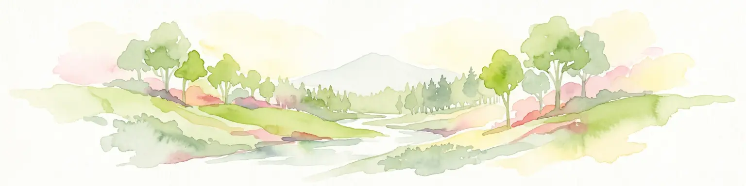
A horizontal watercolor painting showing layers of rolling hills in shades of green, yellow, and soft pink against a white background.
Nature reserveNew South Wales
About 1.6 km away#1 closest

Northwest

Jenolan Karst Conservation Reserve

Protected nature reserve in the New South Wales Central Tablelands

Jenolan Karst Conservation Reserve, in New South Wales, Australia. Landscapes: mountains, valleys, and cliffs.

Area
30.83 km²
Established
1997
IUCN
III
Visitors
250K annual
Watercolor illustration of a soft, pastel-colored landscape featuring rolling hills, gentle slopes, and sparse woodland against a light background.
Regional parkNew South Wales
About 9.6 km away#2 closest

Northeast

Ngula Bulgarabang Regional Park: Geography and Protected Land Profile

Upper Blue Mountains plateau and escarpment terrain

Located in the upper Blue Mountains of New South Wales, Ngula Bulgarabang Regional Park encompasses a distinct plateau characterized by both natural eucalypt bushland and a twentieth-century radiata pine plantation. This protected area overlooks the Megalong Valley, providing a vital connection between local escarpment ecosystems and the broader heritage-listed terrain of the region.

Area
3.06 km²
Established
2020
Relief
Upland
Climate
Temperate
A stylized illustration of a mountain valley in Nattai National Park, featuring native eucalyptus trees, banksia flowers in the foreground, and layers of hills under a soft sunrise light.
National parkNew South Wales
13 km away#3 closest

Southeast

Nattai National Park: Protected Landscape Within New South Wales Geography

Mapped boundaries and regional context for this national park.

Nattai National Park represents a distinct protected landscape within the broader geographic context of New South Wales, Australia. This entry focuses on its identity as a national park, detailing its mapped boundaries and its significance for structured geographic and atlas exploration. Users can uncover the specific park identity and its role within the regional mapped terrain.

Area
489.84 km²
Established
1991
IUCN
II
Visitors
1K annual
A stylized digital illustration showing a winding river flowing through a forested valley with gentle rolling hills under a soft pink sunset sky.
National parkNew South Wales
15 km away#4 closest

Southwest

Abercrombie River National Park: A Protected Landscape in New South Wales

Explore its national park designation and mapped geography.

Delve into the details of Abercrombie River National Park, a designated national park situated in New South Wales. This entry focuses on its identity as a protected landscape, providing a geographically specific atlas perspective. Understand the extent of its mapped boundaries and its contribution to the regional geography, offering a clear view of its protected area status for discovery and reference.

Area
190 km²
Established
1995
IUCN
II
Relief
Mountain
A digital illustration of a dirt trail leading through a dense forest of tall, thin eucalyptus trees with light green foliage and fern undergrowth.
National parkNew South Wales
19 km away#5 closest

South

Mares Forest National Park: New South Wales National Park Atlas and Protected Landscape

Explore mapped boundaries and forest terrain.

Mares Forest National Park, situated in New South Wales, offers a distinct protected landscape defined by its wet eucalyptus forest and kurrajong trees. As a national park, it provides valuable insight into the regional geography of the Southern Tablelands, showcasing its unique terrain and role as wildlife habitat. This park serves as an essential point for atlas-based exploration of Australia's conservation estate, highlighting its mapped boundaries and natural features.

Area
25.59 km²
Established
2010
IUCN
II
Relief
Upland
A stylized, flat-color digital illustration showing a cave interior with stalactites, stalagmites, and rock formations in shades of green, cream, and purple.
Nature reserveNew South Wales
About 22 km away#6 closest

South

Wombeyan Caves Nature Reserve: Exploring the Marble Karst Landscapes of New South Wales

Geological formations and forest refuges in the Southern Highlands

The Wombeyan Caves karst reserve offers a distinct window into marble geology, featuring complex chambers and sculpted flowstone formations beneath the forested ridges of the Southern Highlands. This protected landscape serves as both a site of significant geological interest and a refuge for native wildlife, providing a layered terrain of subterranean paths and surface forest tracks across this part of New South Wales.

Area
5.68 km²
Established
1997
Relief
Mountain
Climate
Temperate
An illustrative digital artwork depicting the Three Sisters sandstone peaks in the Blue Mountains, surrounded by lush eucalyptus forest and misty valleys.
National parkNew South Wales
About 30 km away#7 closest

Northeast

Blue Mountains National Park

Explore New South Wales park geography and natural terrain.

Blue Mountains National Park, in New South Wales, Australia. Landscapes: valleys, cliffs, and forests.

Area
2,679.54 km²
Established
1959
IUCN
II
Visitors
8.4M annual
National parkNew South Wales
32 km away#8 closest

South

Bangadilly National Park: Protected Sandstone Plateau and Gorge Landscape in NSW

Explore its unique terrain and Wingecarribee River geography.

Bangadilly National Park, situated in New South Wales, is a critical protected area characterized by its striking sandstone plateau and gorge formations bordering the Wingecarribee River. As a strict nature reserve, it safeguards a significant transition zone for local flora and provides essential habitat for numerous rare and threatened species, making it a key site for understanding regional landscape ecology and protected area distribution in Australia.

Area
21.35 km²
Established
2001
IUCN
Ia
Relief
Mixed relief
National parkNew South Wales
36 km away#9 closest

South

Tarlo River National Park: Rugged Protected Wilderness Landscape of New South Wales

Explore its unique terrain, mapped boundaries, and cultural heritage.

Tarlo River National Park stands as a testament to rugged protected wilderness within New South Wales, Australia. Its distinctive terrain, marked by steep valleys and rocky ridges, presents a rare topographical feature not replicated elsewhere in the region. This national park is also a vital site for Aboriginal cultural heritage, offering a unique lens through which to understand Australia's protected landscapes. The park's mapped geography provides essential context for appreciating its conservation significance and the preservation of its natural and cultural values.

Area
80.74 km²
Established
1982
IUCN
II
Relief
Upland
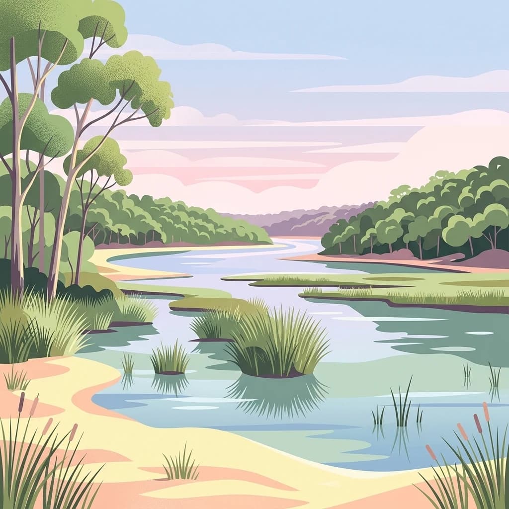
A digital illustration showing a calm, winding lake surrounded by lush green forest, tall eucalyptus-style trees on the left, and grassy shorelines.
National parkAustralia
36 km away#10 closest

Southeast

Thirlmere Lakes National Park: Explore Australia's National Park Geography

Mapped boundaries and protected landscape context.

Thirlmere Lakes National Park offers a focused view into Australia's network of protected natural areas. This atlas-oriented content details the park's specific geographic identity, its mapped boundaries, and its significance as a conserved landscape. Engage with the structured data to understand the terrain and regional context of this unique Australian national park.

Area
6.29 km²
Established
1972
IUCN
II
Climate
Temperate
A soft watercolor illustration of a river flowing through a grassy valley with scattered trees and distant rolling hills on a white background.
State or regional parkNew South Wales
About 37 km away#11 closest

East

Bents Basin State Conservation Area: A Geographic Atlas of the Nepean River Gorge

Protected river basin and sandstone terrain in New South Wales

Centered on a lagoon-like swimming hole formed by the Nepean River, Bents Basin State Conservation Area represents a critical protected landscape within New South Wales. The reserve showcases a transition between rugged sandstone gorge topography and the undulating shale-based soils of the Cumberland Plain. Examine the mapped boundaries and natural features of this ecologically rich riparian corridor located in the Sydney metropolitan area.

Area
0.62 km²
Established
1980
IUCN
II
Relief
Upland
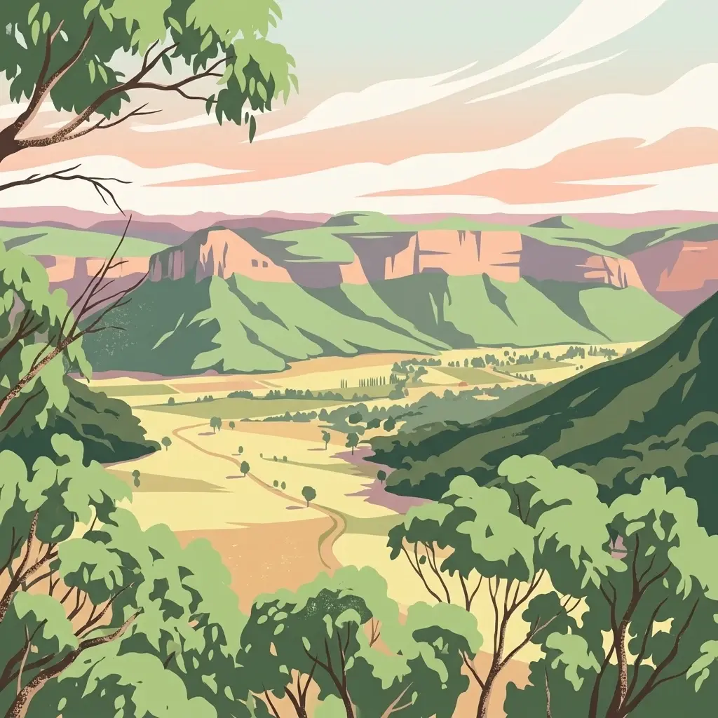
A stylized illustration of a wide valley surrounded by green forested hills and distant sandstone cliffs under a soft sunset sky.
National parkNew South Wales
38 km away#12 closest

North

Wollemi National Park: Mapping Australia's Protected Natural Landscape in New South Wales

Detailed geographic context and protected area exploration.

Wollemi National Park is a critical component of New South Wales' protected natural areas, offering rich opportunities for geographic discovery. This national park provides a distinct focus for understanding the mapped terrain and regional landscape context of Australia. Explore its position within New South Wales, uncovering the details that define its unique protected status and natural geography for dedicated atlas exploration.

Area
5,017.03 km²
Established
1979
IUCN
Ib
Relief
Mountain
Wildlife reserveNew South Wales
About 43 km away#13 closest

Southeast

Wirrimbirra Sanctuary Wildlife Reserve: Protected Bargo Brush Landscape in New South Wales

Heritage-listed woodland and conservation corridor

Wirrimbirra Sanctuary is a 95-hectare wildlife reserve near Bargo, New South Wales, recognized for its rare surviving tracts of Bargo Brush woodland. Owned by the National Trust of Australia, the site functions as an important ecological link and center for native plant conservation, housing thousands of indigenous species within its curated gardens and bushland remnants.

Area
0.95 km²
Established
1962
Relief
Upland
Climate
Temperate
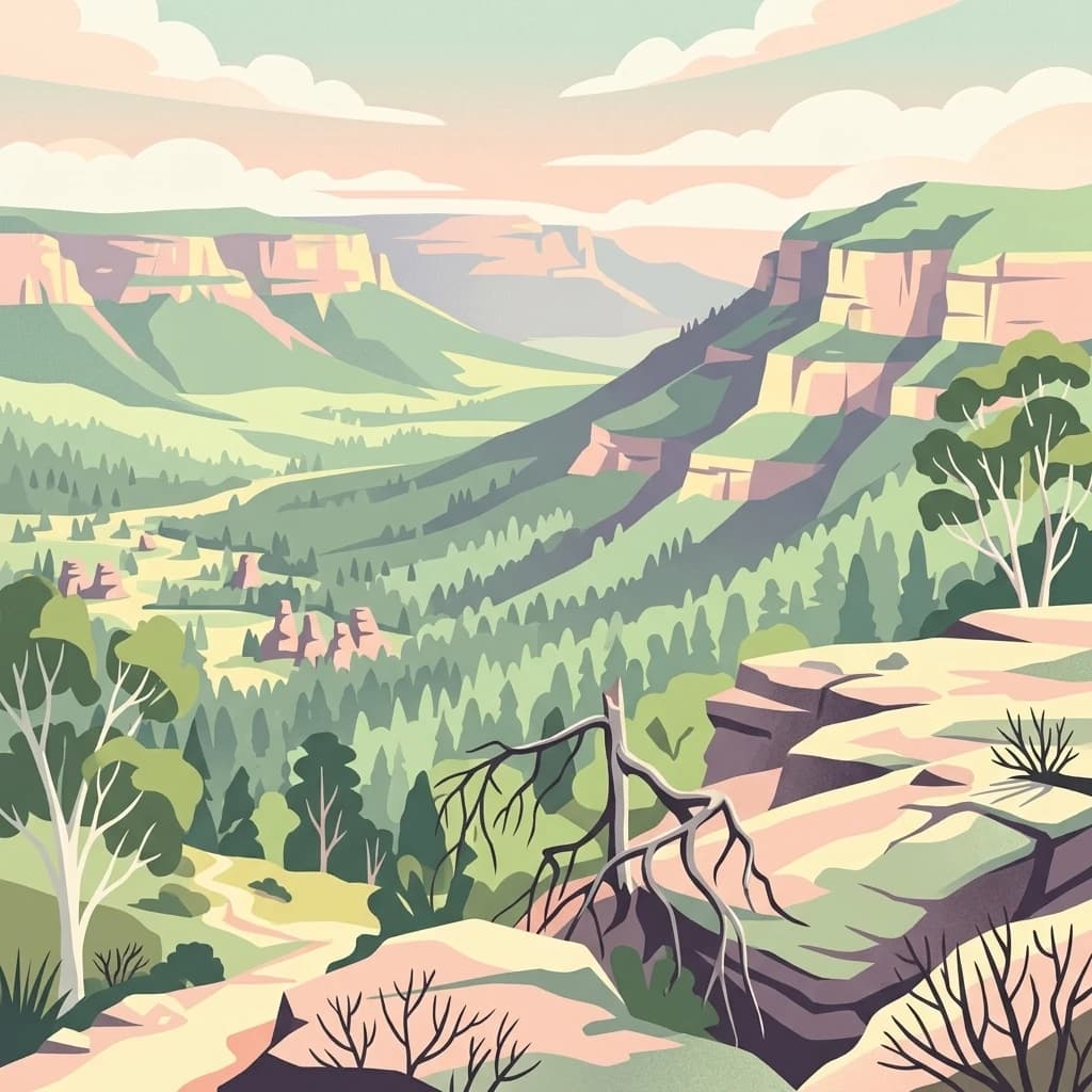
An illustration of a sweeping valley landscape with sandstone cliffs and pagoda-like rock formations characteristic of the Blue Mountains region, with native trees in the foreground.
National parkNew South Wales
43 km away#14 closest

North

Gardens of Stone National Park: National Park Protected Landscape and Geographic Atlas

New South Wales protected area and mapped terrain exploration.

Delve into the protected landscape of Gardens of Stone National Park, an important national park situated in New South Wales, Australia. This page offers an atlas-centric view, focusing on the park's distinct geographic identity, its mapped protected boundaries, and its contribution to the regional context of protected lands. Understand the fundamental landscape character and terrain that define this significant natural area for structured geographic discovery.

Area
150.8 km²
Established
1994
IUCN
II
Relief
Highland
State or regional parkNew South Wales
About 44 km away#15 closest

Northeast

Yellomundee Regional Park: Mapped Escarpment Boundaries and Nepean River Geography

A significant bushland reserve in New South Wales, Australia

Yellomundee Regional Park serves as a protected bushland buffer on the Blue Mountains escarpment, where ridge topography meets the Nepean River. With a landscape largely untouched by human development, this reserve offers a window into the natural bushland ecosystems and riverine corridors of the Great Dividing Range in New South Wales. Use this atlas to visualize the park's ridgelines, gullies, and vertical transition from mountain slopes to river valley flats.

Area
4.85 km²
Established
2000
IUCN
V
Relief
Mountain
Nature reserveNew South Wales
About 49 km away#16 closest

Northeast

Agnes Banks Natural Area Nature Reserve and Geological Landscape in New South Wales

Rare inland sand dunes and native flora habitats

The Agnes Banks Natural Area preserves an ancient, wind-reworked sand deposit that supports coastal-style woodland communities far from the ocean. This site serves as a crucial ecological link within the Cumberland Plain, offering significant value for studying sand-dune evolution, geological history, and rare flora species unique to this protected landscape in New South Wales.

Established
1999
Relief
Lowland
Scope
Terrestrial
Water
Minor water
A soft, horizontal watercolor painting depicting a calm wetland area with grassy banks, still water reflecting soft colors, and distant rolling hills.
Nature reserveNew South Wales
About 49 km away#17 closest

Southeast

Cecil Hoskins Nature Reserve Protected Wetland Landscape in New South Wales Australia

Mapped riverine terrain and ecological sanctuary boundaries

This protected area centers on the Wingecarribee River, providing a rare refuge for waterbirds and remnant native bushland in the Southern Highlands. The reserve integrates dammed swampy floodplains with open grassy meadows and eucalypt stands, creating a compact yet ecologically significant site that demonstrates the importance of small-scale landscape restoration in New South Wales.

Area
0.46 km²
Established
1975
IUCN
IV
Relief
Lowland
National parkNew South Wales
53 km away#18 closest

North

Turon National Park National Park: Protected Landscape and Geographic Atlas Details

Mapped boundaries and regional context within New South Wales.

Turon National Park is a protected national park in New South Wales, Australia, offering a distinct geographic identity for atlas exploration. This entry focuses on its mapped boundaries, natural terrain, and its role as a conservation landscape. Users can discover its specific features and regional context, enhancing their understanding of Australia's protected areas.

Established
2002
IUCN
II
Relief
Mixed relief
Climate
Temperate
Natural monumentNew South Wales
About 56 km away#19 closest

West

Abercrombie Caves: Protected Karst Landscape and Geological Monument in New South Wales

Exploration of karst formations and cave morphology

Abercrombie Caves preserve a sophisticated limestone karst system within the Central West region of New South Wales. The reserve is anchored by The Archway, a massive natural bridge sculpted by water erosion, alongside various chambers including King Solomon's Temple and Bushranger's Cave. This natural monument highlights the interplay between rugged range geography, solutional cave development, and the site's enduring historical significance as a former gold-mining and bushranger landscape.

Area
14.34 km²
Established
1997
IUCN
III
Relief
Upland
National parkNew South Wales
About 57 km away#20 closest

East

Georges River Koala National Park: A Protected Landscape for Critical Koala Habitat in New South Wales

Mapped geography and unique wildlife sanctuary.

Georges River Koala National Park represents a key protected area within New South Wales, specifically designated for safeguarding critical koala populations. This national park offers an invaluable insight into the region's undulating woodland terrain and the Georges River corridor's role in providing essential habitat. Understand the park's landscape character, its mapped boundaries, and its importance as a sanctuary for chlamydia-free koala colonies.

Area
18.3 km²
Established
2023
IUCN
II
Relief
Lowland
Distance methodology

Geographic measurements, not driving distances

How nearby park distances are calculated

Distances use park boundaries whenever the available geometry allows it. When one or both boundaries are missing, the mapped park locations provide a clearly labelled estimate. Every value represents straight-line geographic separation and does not use roads or routing.

Boundary distance

Calculated between the nearest points of both park boundaries.

Location-to-boundary estimate

Estimated from one mapped park location to the nearest boundary of the other park.

Mapped-location estimate

Estimated between the mapped locations of both parks.

MoriAtlas Explorer

Continue Exploring Kanangra-Boyd National Park's Geographic and Protected Landscape Identity

Delve deeper into Kanangra-Boyd National Park to uncover its specific geographic features and its role as a protected landscape within New South Wales. Understanding the mapped context and regional setting of this national park enhances your exploration of Australia's diverse natural terrain. Continue your atlas journey by examining the unique attributes that define this protected area.