
Mori Atlas logo
National parkKenozersky National Park

Tracing the intersection of boreal wilderness, ancient lake basins, and centuries of traditional heritage.

Kenozersky National Park: Mapping the Cultural and Natural Landscapes of the Russian North

(National Park Kenozersky (Кенозерский национальный парк))

Kenozersky National Park forms an elongated protected polygon within the southwestern Arkhangelsk Oblast, serving as a critical refuge for middle taiga ecosystems and traditional Russian Northern cultural landscapes. This territory preserves the Maselga esker watershed ridge, the deep Porzhenka River canyon, and interconnected lake systems that define the geography of the Russian North. Through a complex mosaic of peat bogs, boreal forests, and sacred historical sites, the park demonstrates an exceptional integration of natural geological features and human-managed environments.

national parkUNESCO World Heritagebiosphere reservemiddle taigaboreal forestpeat bogs
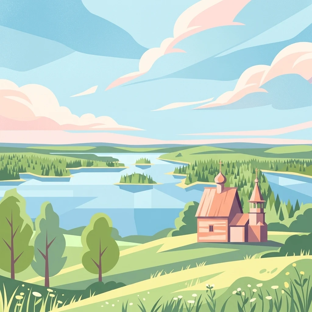
A stylized flat-design illustration of a wooden church with a tower and dome situated on a grassy hill overlooking a sprawling blue lake with small islands and forested shores.

Kenozersky National Park

National park

Park overview

Structured park overview, official facts, and landscape profile for Kenozersky National Park

Kenozersky National Park park facts, protected area profile, and essential visitor context

Review the core facts for Kenozersky National Park, including designation, size, terrain, visitor scale, habitats, and operating context in one park-focused overview.

About Kenozersky National Park

Kenozersky National Park occupies a substantial block of the middle taiga in the European Russian North, on the borderlands between Arkhangelsk Oblast and Karelia. The protected territory stretches across the Plesetsk and Kargopol districts and is built around a network of lakes, rivers, canals, and ancient portages that once linked trading routes between the White Sea basin and the inland waterways of northern Russia. Lakes Kenozero and Lekshmozero lie at the heart of the park, and around them a dense ribbon of traditional villages has survived, along with wooden churches, chapels, bell towers, painted interiors, and wayside crosses that reflect many centuries of Orthodox religious and folk culture.

What sets the park apart from many other Russian protected areas is that its official object of conservation is not only the natural environment but the entire historical human habitat of the Russian North. Within its boundaries one finds sacred groves considered among the oldest forms of protected nature in the country, surviving fragments of old-growth taiga that have escaped intensive slash-and-burn agriculture, and an unusually well documented vernacular cultural landscape. The park's museum collection alone holds around 8,600 objects representing the material and spiritual culture of the local population, with several hundred items added each year.

Ecologically, the park lies near the northern edge of the middle-taiga subzone, where boreal forests, mires, lakes, and traditional land-use mosaics come together. This position has produced a mixed fauna that includes both typical taiga mammals and birds and species normally associated with broadleaf forests, steppes, or northern tundra. The combination of intact landscape, dense traditional settlement, and strong institutional protection has made Kenozero a reference area for understanding how people and nature have shaped each other across centuries in the European North.

Quick facts and research context for Kenozersky National Park

Kenozersky National Park covers roughly 141,354 hectares in the southwestern corner of Arkhangelsk Oblast, at the meeting point of the Plesetsk and Kargopol districts and along the border with Karelia. It was established by decree of the Council of Ministers of the RSFSR on 28 December 1991, following the initiative of Elena Shatkovskaya, who later received a State Prize of the Russian Federation for her role in preserving the area.

The park holds UNESCO biosphere reserve status (since 2004), was recognized as a Key Ornithological Territory of international importance in 1999, and since 2024 has been inscribed as the UNESCO World Heritage property "Cultural Landscape of Kenozero Lake." Its territory is about three-quarters forested with middle-taiga vegetation and contains the lakes Kenozero and Lekshmozero, an extensive canal-and-lake system with ancient portages, the Maselga esker ridge marking the Arctic–Atlantic watershed, and the deep Kenozero depression formed by an ancient crustal fracture.

Protection and recognition

Documented terrestrial protection metrics and official UNESCO biosphere designation history

Kenozersky National Park Protection Status and International Recognition

Kenozersky National Park maintains a documented terrestrial protection status established through official designation history and management scope. Verified records outline the baseline protected area framework alongside recognized international biosphere program affiliations.

International recognition

Protection details

Protection scope
Terrestrial
Designated year
2024
Transboundary protection
No
Core area
186.88 km²
Buffer area
719.51 km²
Park context

Deeper park guide and search-rich context for Kenozersky National Park

Kenozersky National Park history, landscape, wildlife, and travel context

Explore Kenozersky National Park through its history, landscape character, ecosystems, wildlife, conservation priorities, cultural context, and seasonal travel timing in a structured park guide built for atlas discovery and search intent.

Why Kenozersky National Park stands out

Kenozersky is best known as a UNESCO-recognized cultural landscape where the traditional way of life, folk architecture, and sacred traditions of the Russian North survive alongside intact taiga and lake wilderness. The park contains an exceptional collection of wooden churches, bell towers, chapels, painted "heavenly ceilings" (nebesа), and wayside crosses, many of them dating from the fourteenth through seventeenth centuries. It is equally recognized for its geological character, including the Maselga esker ridge, which forms part of the watershed between the Arctic and Atlantic oceans, the ancient Kenozero crustal fracture basin, and the deep Porzhenka River canyon cut into Cretaceous deposits. Together, these natural and cultural layers make Kenozero one of the most distinctive preserved cultural-natural landscapes anywhere in northern European Russia.
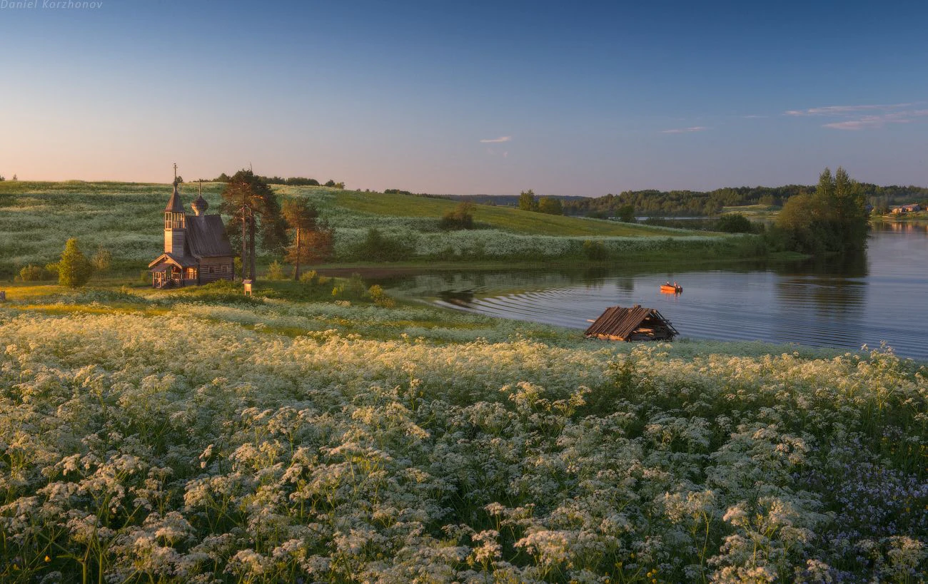
A golden hour landscape view of a green meadow filled with white wildflowers in the foreground, with a traditional wooden chapel on the left and a calm lake with a small boat on the right.
A peaceful evening view of the traditional cultural landscape in Glazovo village, featuring a wooden chapel and a quiet lake in Kenozersky National Park.

Kenozersky National Park history and protected-area timeline

Kenozersky National Park was created on 28 December 1991 by Resolution No. 84 of the Council of Ministers of the RSFSR, covering an initial area of about 139,663 hectares. Its establishment was driven by the conservationist Elena Shatkovskaya, who became the park's first director and is widely credited with shaping its dual focus on natural and cultural heritage. In 1999 the park was recognized as a Key Ornithological Territory of international importance, and in 2004 it was designated a UNESCO biosphere reserve and joined the World Network of Biosphere Reserves.

The cultural significance of the territory long predated these designations. Between the fourteenth and seventeenth centuries, a network of Orthodox monasteries and hermitages rose across the area, including the Kirillo-Chelmogorsky Monastery, the Kenskaya Pakhomiyeva Hermitage, and the Makaryevskaya Khergozerskaya Hermitage. The wooden churches, chapels, bell towers, and painted "nebesа" ceilings that survive today are the physical legacy of this monastic and parish culture, layered over even older Neolithic archaeology represented by sites such as Medvezhy Island and Kositsyno of the Kargopol archaeological culture.

In 2019 the President of the Russian Federation awarded Elena Shatkovskaya the State Prize of the Russian Federation in literature and the arts for her contribution to the preservation of Russia's historical, cultural, and natural heritage, in recognition of decades of work at Kenozero. In 2024, during the 46th session of the UNESCO World Heritage Committee, the park's "Cultural Landscape of Kenozero Lake" was inscribed on the World Heritage List under cultural criterion (iii), placing the area among Russia's internationally recognized cultural landscapes.

Kenozersky National Park landscape and geographic character

The landscape of Kenozersky is shaped by the meeting of ancient geology and glacial history. The Maselga esker ridge is one of the park's most striking features; it is a fragment of the watershed that separates rivers draining to the Arctic Ocean from those flowing toward the Atlantic. Nearby, the Kenozero basin itself is a very ancient crustal fracture more than 600 million years old, with lake depths exceeding 100 meters, while the Porzhenka River has carved a canyon up to 120 meters deep into old Cretaceous deposits. An interconnected lake-and-canal system with ancient portages ties the water bodies together and historically allowed boats to travel between major northern drainage basins.

In broader terms, the terrain is a gently undulating mosaic of middle-taiga forest, peat bogs, meadows, and lakes, surrounded on all sides by continuous boreal woodland. About three-quarters of the park is forested, with pine and spruce mixed forests of relatively recent origin alongside scattered fragments of older, undisturbed taiga. The relatively young age of much of the forest is itself a visible element of the cultural landscape, a result of centuries of traditional slash-and-burn agriculture that altered the age and species structure of woodland across the region. Together these features give Kenozero a layered, human-touched wilderness that remains visually distinctive even within the broader Russian North.
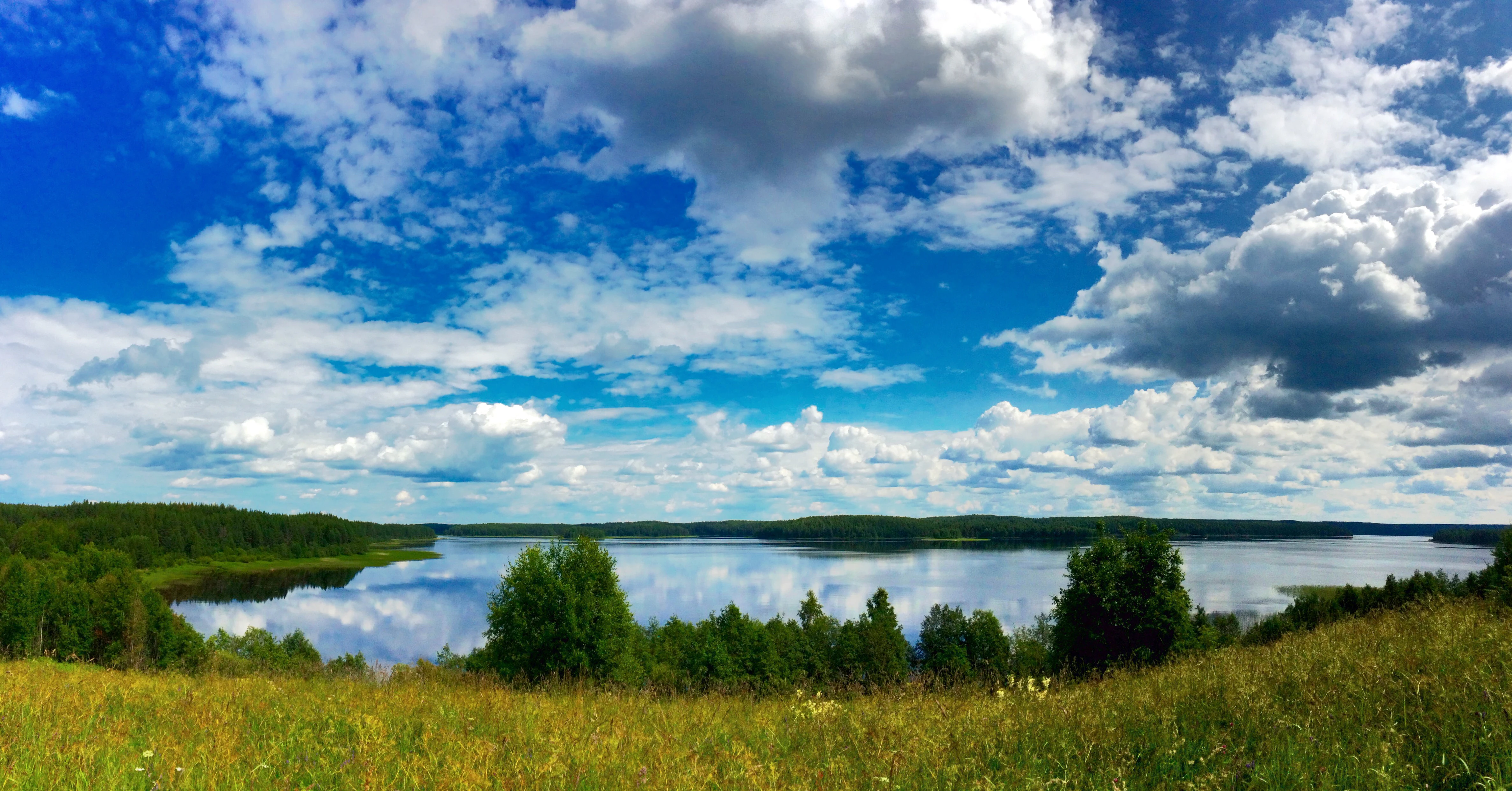
A scenic, wide-angle landscape view looking out over Kenozero Lake in Russia, featuring grassy meadows in the foreground, a reflective lake in the center, and dense forest along the distant shoreline under a bright blue sky with scattered white clouds.
A wide view of Kenozero Lake, capturing the expansive water, forested shorelines, and sweeping sky within the park.

Kenozersky National Park ecosystems, habitats, and plant life

The park protects a characteristic middle-taiga ecosystem with strong lateral connections to both western Siberia and Europe in its flora. Plant communities include pine and spruce mixed forests of relatively recent age, occupying about three-quarters of the park, as well as fragments of genuinely old-growth spruce and sphagnum pine forests on low-lying boggy ground. These fragments, though small, function as refugia for the biological diversity of taiga and mire complexes that have largely vanished from the surrounding region.

Mire ecosystems cover thousands of hectares within the park and represent nearly all major bog types, from sphagnum-rich raised bogs to mires with abundant cranberry, cloudberry, blueberry, lingonberry, and crowberry. The flora overall includes more than 600 species of higher vascular plants from 77 families, with composites, grasses, sedges, roses, and figworts being especially well represented. Among the plants of conservation concern are several orchid species and quillworts, some of which appear on the Russian Red Data Book.

Sacred groves are treated as among the oldest forms of conservation on Russian territory and remain under formal protection within the park. Their presence adds a distinct cultural-ecological layer, linking traditional spiritual land use to the surviving patterns of woodland and biodiversity. The overall vegetation pattern gives Kenozero a feeling of an old, softly tended forest-and-water landscape rather than a strict wilderness preservation zone.
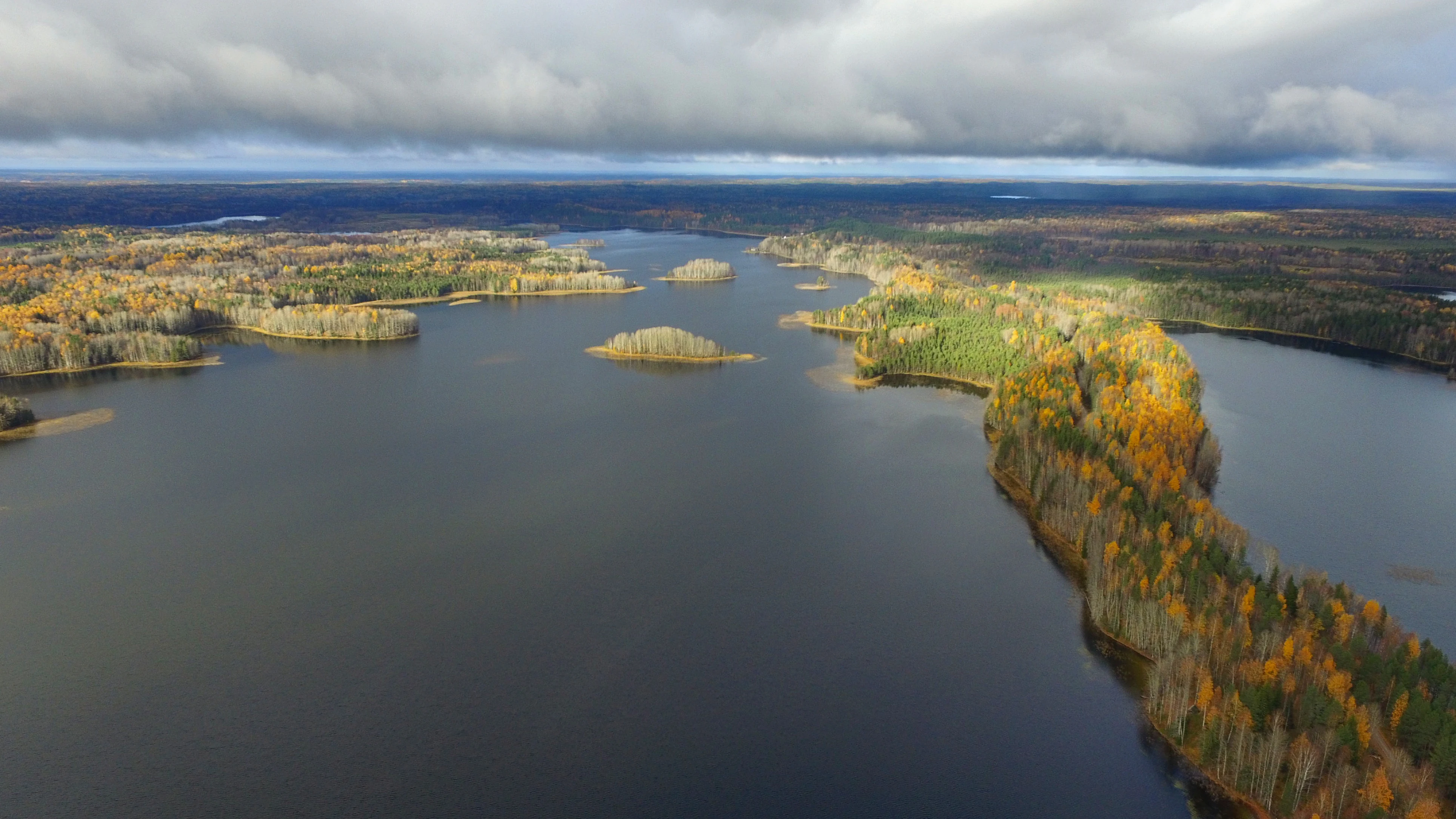
Aerial view of a forested, elongated ridge extending into a large lake during autumn, under a cloudy sky.
An aerial view of the forested esker ridge at Maselga, which acts as a watershed divide within Kenozersky National Park.

Kenozersky National Park wildlife and species highlights

Wildlife at Kenozero reflects the park's position at the northern margin of the middle-taiga subzone, where habitats and species from different climatic zones overlap. Typical taiga animals such as red voles, forest birch mice, squirrels, mountain hares, brown bears, moose, hazel grouse, and capercaillie are all present, alongside species more often associated with broadleaf forests, steppe, or even tundra environments, including harvest mice, common voles, quails, grey partridges, corncrakes, kestrels, wood lemmings, red voles, wolverines, and willow ptarmigan. Up to 40 percent of recorded species live here at the northern or southern edge of their range.

The park hosts about 263 bird species, 50 mammal species, 5 amphibian species, and 4 reptile species, with 28 fish species from 7 orders documented in its lakes and rivers. Lake Kenozero also supports two species of lampreys, an unusual feature for the region. Among the conservation priorities are species listed in the IUCN Red List and the Russian Red Data Book, including white-tailed eagle, peregrine falcon, freshwater pearl mussel, and a glacial relict amphipod, as well as birds such as the white-billed diver, lesser white-fronted goose, golden eagle, and gyrfalcon. The mix of forest, mires, lakes, and traditional villages makes the area productive for both resident wildlife and seasonally important bird populations.

Kenozersky National Park conservation status and protection priorities

Kenozersky is significant from a conservation perspective because it combines protection of an ancient taiga and lake landscape with preservation of the traditional Russian Northern way of life. It has been recognized as a UNESCO biosphere reserve since 2004, designated a Key Ornithological Territory of international importance in 1999, and inscribed as the UNESCO World Heritage property "Cultural Landscape of Kenozero Lake" in 2024, reflecting its standing both as an ecological refuge and as a cultural landscape of international importance.

Ecologically, the park safeguards rare fragments of old-growth boreal forest, an unusually complete set of mire types, several Red Data Book plant species, and a mixed fauna typical of transitional taiga zones. Culturally, it protects the sacred groves that are among the oldest documented forms of environmental protection on Russian territory, along with a dense ensemble of wooden churches, chapels, painted ceilings, water mills, and wayside crosses that embody centuries of Orthodox and folk culture. Together these layers support biodiversity research, traditional knowledge preservation, and integrated land-use planning that links nature protection with the sustaining of historic rural communities.

Kenozersky National Park cultural meaning and human context

The cultural context of Kenozero is inseparable from the natural landscape. For centuries the area has been inhabited by communities whose livelihood combined small-scale agriculture, fishing, hunting, and craft work, and whose spiritual life left behind not only wooden churches but also sacred groves, wayside crosses, and chapels scattered through the forest. The painted church ceilings known as nebesа are particularly characteristic of the Russian North and are among the park's most distinctive cultural treasures.

The park's museum collection of about 8,600 objects, most dating to the nineteenth and early twentieth centuries, documents household utensils, clothing, tools used in crafts and trades, interior elements, and ritual objects. The territory also contains Neolithic archaeological sites such as Medvezhy Island and Kositsyno, attributed to the Kargopol archaeological culture of the second half of the fourth millennium BCE, as well as later Neolithic finds near the village of Ust-Pocha. Together these layers make Kenozero a living archive of how human communities have shaped and been shaped by the taiga and lake landscape of the European Russian North.

Top sights and standout views in Kenozersky National Park

Among Kenozero's standout features are the wooden churches and chapels of the former Kargopol and Plesetsk parishes, especially the painted nebesа ceilings that are unique to the Russian North, and the wayside crosses and water mills that mark centuries of rural spiritual and economic life. Geological highlights include the Maselga esker, an actual section of the Arctic and Atlantic watershed, the Kenozero basin formed by a Precambrian crustal fracture, and the dramatic Porzhenka River canyon.

On the natural side, the park protects an unusually complete set of boreal mire types, fragments of genuinely old-growth taiga, and a transitional fauna in which taiga, broadleaf forest, steppe, and tundra species meet. Combined with UNESCO biosphere reserve and World Heritage recognition, these natural and cultural layers give Kenozero an unusually concentrated sense of place within Russia's network of protected cultural landscapes.

Best time to visit Kenozersky National Park

The climate at Kenozero is moderately continental, with long snowy winters, summers that are short and frost-free for roughly 105 to 110 days, and a stable snow cover that lasts about 160 days a year. Temperatures swing from extreme winter lows near -47 degrees Celsius to summer highs around +34 degrees Celsius, with annual precipitation close to 500 millimeters, and the landscape is shaped by clearly distinct seasons rather than a uniform climate window.

For experiencing the landscape, summer and early autumn are generally the most rewarding, when the taiga forests, mires, and lake systems are fully active, berries ripen across the bogs, and the villages and wooden churches are most accessible. Winter transforms the park into a snow-covered cultural landscape with its own quiet appeal, particularly for those interested in traditional northern rural architecture, though visitors should be prepared for deep cold and very limited daylight. Transitional shoulder seasons are short and can feel harsh, so timing matters more than at parks in milder regions, but the area rewards visitors at any well-chosen moment of the year.

Monthly climate preview

Long-term monthly temperature and precipitation averages across the protected area coordinate

Kenozersky National Park Climate Normals, Temperature and Precipitation Rhythm

Representative point records outline the multi-year temperature and precipitation progression across Kenozersky National Park from winter lows to summer peaks. Detailed monthly climate normals provide broader context for analyzing long-term atmospheric patterns within the protected landscape.
Annual mean1 °C
-13 °C17 °C
Jan-13°
Feb-12°
Mar-7°
Apr0°
May8°
Jun14°
Jul17°
Aug14°
Sep9°
Oct2°
Nov-6°
Dec-11°
Warmest month
July

16.7 °C

Coolest month
January

-13.3 °C

Wettest month
August

3.4 mm/day

Driest month
February

1.4 mm/day

Park location guide

Geography guide, regional context, and park location map for Kenozersky National Park

Kenozersky National Park park geography, regions, and map view in Russia

Understand where Kenozersky National Park sits in Russia through a broader geographic reading of the surrounding landscape, nearby location context, and its mapped position within the national park landscape.

How Kenozersky National Park fits into Russia

Russia is a transcontinental nation spanning eleven time zones, bordered by fourteen countries. It is the world's largest country by area, covering 17,098,246 km². Moscow is the capital and largest city, while Saint Petersburg is the second-largest and a major cultural centre.

Wider geography shaping Kenozersky National Park in Russia

Russia spans Eastern Europe and North Asia, covering 17,098,246 km². It shares land borders with fourteen countries, more than any other nation, and spans eleven time zones. The landscape includes vast plains, mountain ranges such as the Urals and Caucasus, and extensive coastlines along the Arctic Ocean, Pacific Ocean, Baltic Sea, Black Sea, and Caspian Sea.

Map view of Kenozersky National Park

Use this park location map to pinpoint Kenozersky National Park in Russia, understand its exact geographic position, and read its mapped placement within the surrounding landscape more clearly.

Pigeon | © OpenStreetMap contributors

Location context for Kenozersky National Park

Arkhangelsk Oblast

Visual reference of boreal forests, lake systems, and traditional northern wooden architecture

Kenozersky National Park Photos and Protected Landscape Scenery

Visual records reveal the diverse terrain, middle-taiga forests, and lake basins that define Kenozersky National Park. Examining these protected-area photographs helps observers understand the unique intersection of ancient boreal wilderness and historical cultural landscapes.

A golden hour landscape view of a green meadow filled with white wildflowers in the foreground, with a traditional wooden chapel on the left and a calm lake with a small boat on the right.

A traditional Russian wooden church with a small onion dome sits on a grassy lakeshore at twilight, with a calm lake and forested hills in the background under a cloudy sky.

A scenic, wide-angle landscape view looking out over Kenozero Lake in Russia, featuring grassy meadows in the foreground, a reflective lake in the center, and dense forest along the distant shoreline under a bright blue sky with scattered white clouds.

Aerial view of a forested, elongated ridge extending into a large lake during autumn, under a cloudy sky.

Park atlas

Compare regional protected landscapes, boreal forest reserves, and lake districts

Explore Other Parks Near Kenozersky National Park and Surrounding Protected Regions

Continue browsing nearby protected areas and related boreal reserves after exploring Kenozersky National Park. Comparing adjacent regional geography provides deeper context into northern taiga ecosystems and preserved cultural landscapes.
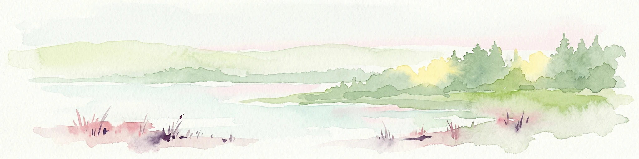
Watercolor painting showing a lake surrounded by forests with mountains in the background
National parkRussia
Mapped park locations coincide#1 closest

West

Kenozersky National Park: Geography, Glacial Landscapes, and Protected Taiga Forests in Russia

Exploring the lake-studded terrain of the Arkhangelsk Oblast

Kenozersky National Park offers a profound look at the glacial geology of northern Russia. The area encompasses an integrated network of streams, wetlands, and spruce-dominated forests, providing essential habitat and reflecting centuries of human interaction with the natural terrain.

IUCN
II
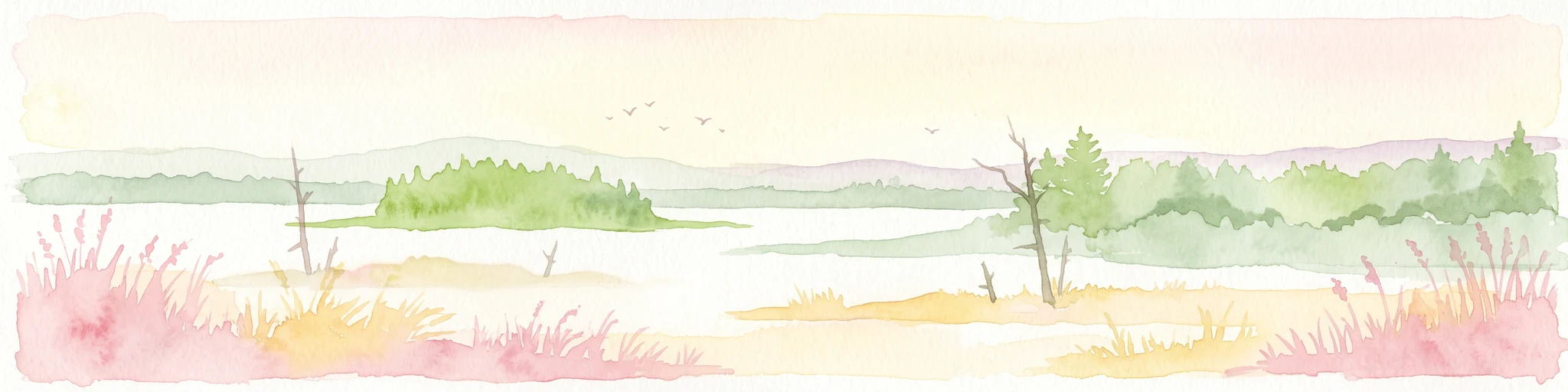
Watercolor painting depicting a lake surrounded by trees and hills under a soft sky
National parkArkhangelsk Oblast
About 13 km away#2 closest

Northwest

Vodlozersky National Park: A Protected National Park within Arkhangelsk Oblast's Geography

Explore the mapped boundaries and natural landscape of this national park.

Vodlozersky National Park serves as a significant protected landscape within the Arkhangelsk Oblast region. This national park detail page provides focused access to its geographic identity, mapped terrain, and protected area status. Utilize MoriAtlas to understand the specific context of Vodlozersky National Park and its role in the regional atlas of natural areas, enhancing your geographic discovery.

Area
4,280 km²
Established
1991
IUCN
II
Visitors
1K annual
National parkRepublic of Karelia
About 81 km away#3 closest

Northwest

Vodlozero National Park: Geographic Profile of Russia's Pristine Taiga and Wetland Landscapes

Protected boreal ecosystems in the Republic of Karelia

Vodlozero National Park protects a significant expanse of pristine boreal forest, lake systems, and river basins in the Russian North. This entry provides a structured look at the park geography, covering its status as a biosphere reserve, its sprawling taiga terrain, and the cultural landscape that defines its remote northern boundaries.

Area
4,683 km²
Established
1991
IUCN
II
Relief
Lowland
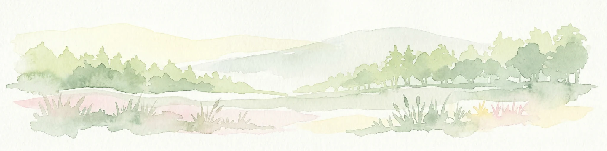
Watercolor illustration of a landscape with trees, hills, and water
National parkVologda Oblast
About 237 km away#4 closest

South

Russky Sever National Park: Glacial Landscapes and Historical Protected Areas

Regional geography in the Vologda Oblast of Russia

Situated in the Vologda Oblast, Russky Sever National Park encompasses extensive forests, glacial hills, and riverine ecosystems. This protected area stands out for its deep connection to medieval Russian architecture, featuring preserved monasteries within a landscape shaped by long-standing agricultural and religious traditions.

Area
1,664 km²
Established
1992
IUCN
II
Relief
Highland
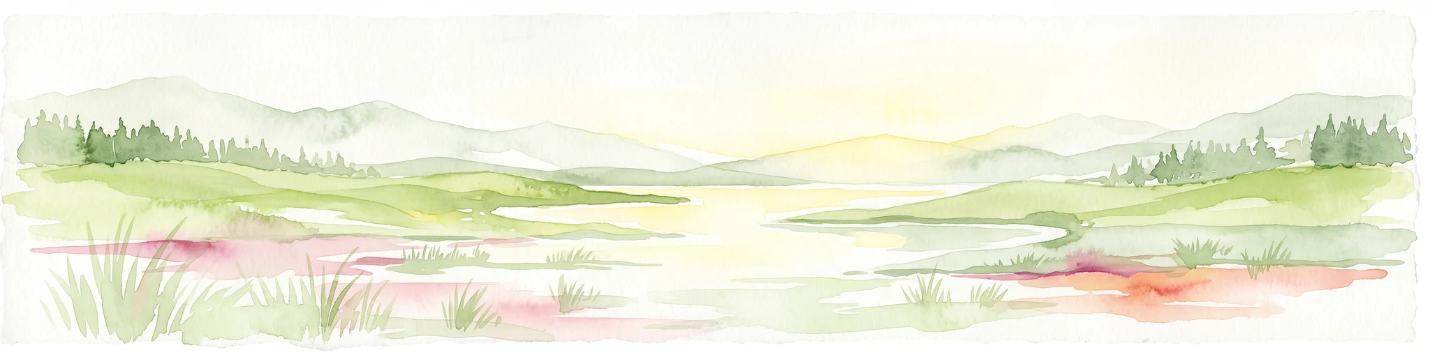
A soft watercolor illustration of a tranquil lake surrounded by rolling green hills, a forest of evergreen trees, and wetlands with patches of reddish flora in the foreground.
National parkVologda Oblast
About 248 km away#5 closest

South

Russky Sever National Park: Glacial Lake Systems and Boreal Forests in Vologda Oblast

Regional landscape context and protected area mapping

Russky Sever National Park stands as a vital protected area in Vologda Oblast, bridging the hydrological divide between the Caspian and White Sea basins. Its territory is shaped by a complex interplay of low-lying ridges, interconnected lake chains, and ancient forest massifs like Shalgo-Bodunovsky Bor. This atlas record provides a clear overview of the park's distinct natural character and its structural place within the broader Russian North landscape.

Area
1,680 km²
Established
1992
IUCN
II
Relief
Upland
Watercolor painting showing a river flowing through a grassy field with trees and hills in the background
National parkArkhangelsk Oblast
About 305 km away#6 closest

North

Onezhskoye Pomorye National Park: A Geographic Profile of Northern Russian Protected Lands

Tracing the coastal and boreal landscape boundaries in Arkhangelsk Oblast

Onezhskoye Pomorye National Park preserves an isolated wilderness of immense ecological importance. The territory encompasses ancient taiga forests that descend directly into the White Sea, showcasing a rare transition zone between inland boreal ecosystems and marine coastal environments. This protected area offers a look into northern Russian geography, characterized by its glaciated terrain and historic maritime heritage sites.

Area
2,016.68 km²
Established
2013
IUCN
II
Relief
Lowland
A stylized vector illustration featuring a large, balanced boulder perched on a cliff edge, surrounded by evergreen trees and a distant mountain waterfall.
Natural monumentRepublic of Karelia
About 307 km away#7 closest

Northwest

Vottovaara National Park and Natural Monument: Mapping the West Karelian Upland

Protected quartzite massifs and glacial boulder fields in Russia

Vottovaara stands as a significant natural landmark in the Republic of Karelia, defined by its quartzite bedrock and plateau covered in glacial erratics. As a protected national park and natural monument, it represents the high-relief landscape of the West Karelian Upland, providing mapped access to a unique convergence of taiga forest and exposed geological formations.

Area
140.59 km²
Established
2023
IUCN
III
Relief
Mountain
Natural monumentRepublic of Karelia
About 307 km away#8 closest

Northwest

Mount Vottovaara Natural Monument: Explore Protected Landscape and Geographic Context in Karelia

Mapped protected area boundaries and regional terrain in the Republic of Karelia.

Mount Vottovaara represents a significant natural monument within the Republic of Karelia, offering a focal point for structured geographic exploration. This protected landscape's mapped boundaries and its setting within the region's broader geography are key to understanding its atlas value. MoriAtlas provides the framework to examine the specific identity of Mount Vottovaara as a protected area, encouraging detailed study of its natural features and regional context.

Area
15 km²
Established
2011
IUCN
III
Relief
Mixed relief

Common questions about visiting, size, designation, and location context for Kenozersky National Park

Kenozersky National Park FAQs for park facts, access, geography, and protected area context

Find quick answers about Kenozersky National Park, including protected-area facts, park geography, trail and visitor context, and how the park fits into its surrounding country and regional landscape.
MoriAtlas Explorer

Continue Your Protected Areas Search Across the Global Atlas

Deepen your exploration by continuing the structured search for national parks and protected areas worldwide. Utilize the comprehensive filtering capabilities to compare different conservation landscapes and refine your understanding of global park geography. Discover more about the distribution and characteristics of protected natural areas.

Global natural geography