Mori Atlas logo
National parkKenozersky National Park

Discover mapped boundaries, historic wooden architecture, and regional geography in this unique national park.

Kenozersky National Park: A Protected Landscape of Northern Russia's Glacial Terrain

Kenozersky National Park stands as a protected natural area in northwestern Russia, safeguarding a remarkable landscape shaped by glacial forces and northern forest ecosystems. Established to preserve its unique terrain, the park encompasses the basin of Lake Kenozero and surrounding areas, showcasing a mosaic of boreal forests, rolling hills, and extensive lake systems. This national park offers a distinct window into the geographic context and cultural heritage of the Arkhangelsk Oblast, making it a significant site for atlas exploration and understanding protected lands.

national parkprotected areaboreal foresttaiga ecosystemsnorthern Russialake landscape

Kenozersky National Park

National park

Park overview

Structured park overview, official facts, and landscape profile for Kenozero National Park

Kenozero National Park park facts, protected area profile, and essential visitor context
Review the core facts for Kenozero National Park, including designation, size, terrain, visitor scale, habitats, and operating context in one park-focused overview.

About Kenozero National Park

Kenozero National Park occupies a distinctive place among Russia's protected areas as a place where natural landscapes and centuries of human settlement have shaped together a cohesive cultural-ecological system. The park's territory encompasses the drainage basin of Lake Kenozero, a large irregular lake with multiple arms and inlets that serves as the hydrological heart of the region. Surrounding the lake and its tributaries is a varied landscape of forested hills, marshy depressions, and open peat bogs that reflects the complex glacial history of this part of northwestern Russia. The human presence in the region, though modest, has left an indelible mark on the landscape through the construction of wooden churches, chapels, and seasonal settlements that have become integral to the park's identity. The park was created in 1991 with the dual purpose of preserving both the natural ecosystems of the northern taiga and the traditional cultural landscape that has developed here over centuries. Management of the park balances conservation objectives with sustainable traditional use of natural resources by local communities, including fishing, berry picking, and limited forestry that has shaped the landscape for generations.

Quick facts and research context for Kenozero National Park

Kenozero National Park is located in the Pinega River basin of Arkhangelsk Oblast, approximately 180 kilometers south of the city of Arkhangelsk. The protected area encompasses around 1,400 square kilometers of diverse terrain centered on Lake Kenozero, one of the largest lakes in the region. The park lies within the northern taiga zone, featuring a mixture of coniferous forests dominated by spruce and pine, with birch and aspen in younger growth areas. The region's landscape was shaped by glacial activity, leaving behind a characteristic hilly terrain with numerous lake basins and depressions. The park is recognized as an Important Bird Area and supports populations of species such as the white-tailed eagle and lesser spotted eagle.

Park context

Deeper park guide and search-rich context for Kenozero National Park

Kenozero National Park history, landscape, wildlife, and travel context
Explore Kenozero National Park through its history, landscape character, ecosystems, wildlife, conservation priorities, cultural context, and seasonal travel timing in a structured park guide built for atlas discovery and search intent.

Why Kenozero National Park stands out

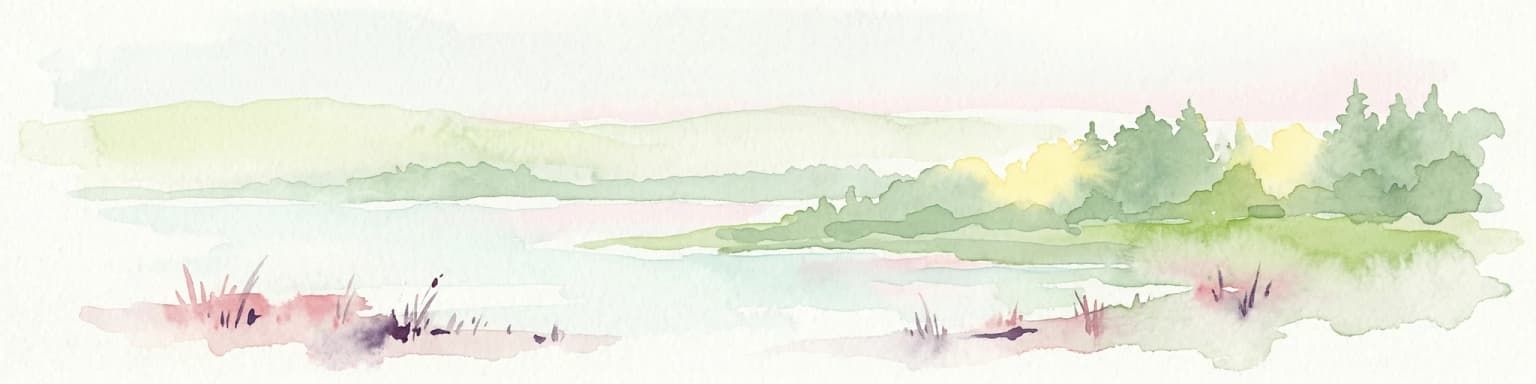
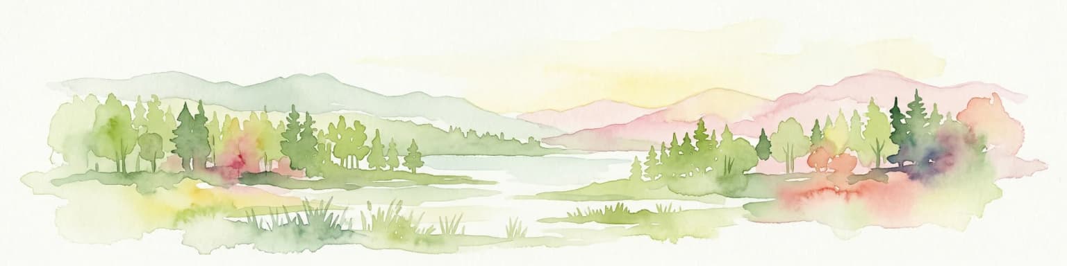
Kenozero National Park is best known for its exceptional combination of natural landscapes and cultural heritage. The park protects one of the few remaining areas in northern Russia where traditional wooden church architecture survives in a relatively untouched setting, with several 17th and 18th century churches and chapels dotted throughout the landscape. The area is famed for its distinctive kame landscape, rolling hills and ridges formed by glacial deposits, that create a visually striking backdrop of forests and lakes. The park also serves as a refuge for northern taiga wildlife and provides important habitat for rare bird species, particularly birds of prey that nest in the old-growth forest areas surrounding the lakes.

Kenozero National Park history and protected-area timeline

The history of human settlement in the Kenozero region dates back several centuries, with the area becoming known for its distinctive tradition of wooden church construction beginning in the 17th century. The villages that developed around Lake Kenozero and along the rivers flowing into it became centers of a unique cultural tradition, with local carpenters constructing elaborate wooden churches that became landmarks across the northern Russian landscape. Several of these churches, including notable examples at Pochozyevo and Konevo, have survived to the present day and represent masterpieces of traditional Russian wooden architecture. The Soviet period brought significant changes to the region, with collectivization and industrial forestry operations affecting traditional land use patterns, though the remote location of the area prevented complete transformation of the landscape. Kenozero National Park was established in 1991 during a period of renewed interest in environmental protection and cultural heritage preservation in post-Soviet Russia. The park's creation recognized both the ecological importance of the northern taiga ecosystems and the need to protect the surviving cultural landmarks of traditional wooden architecture that remained in the area.

Kenozero National Park landscape and geographic character

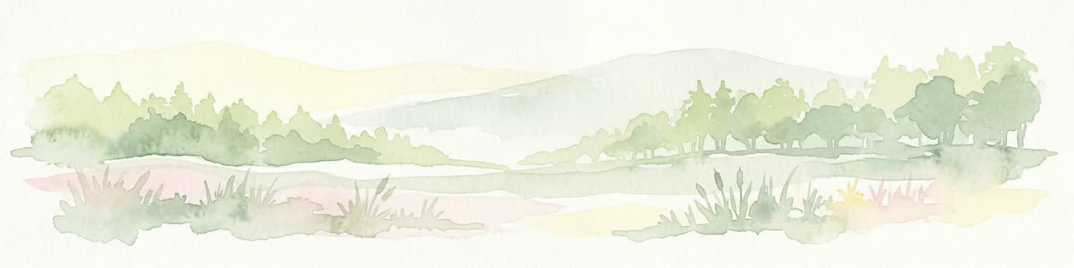
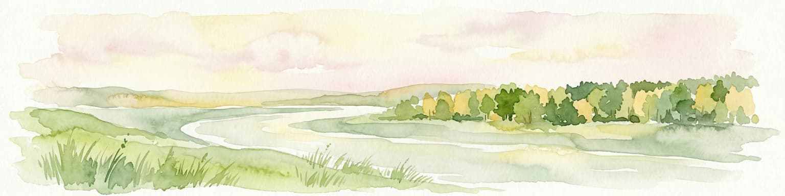
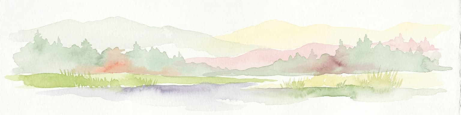
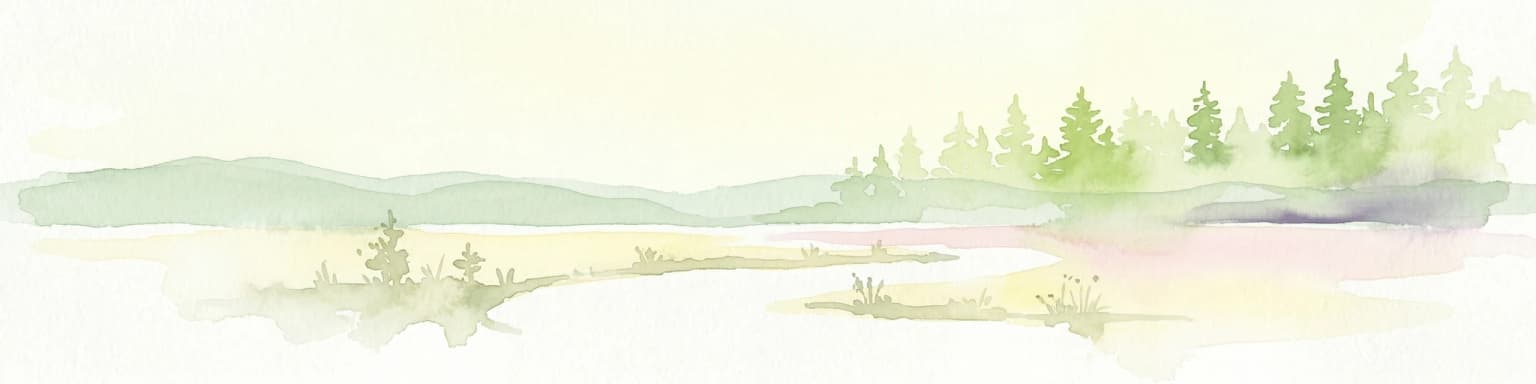
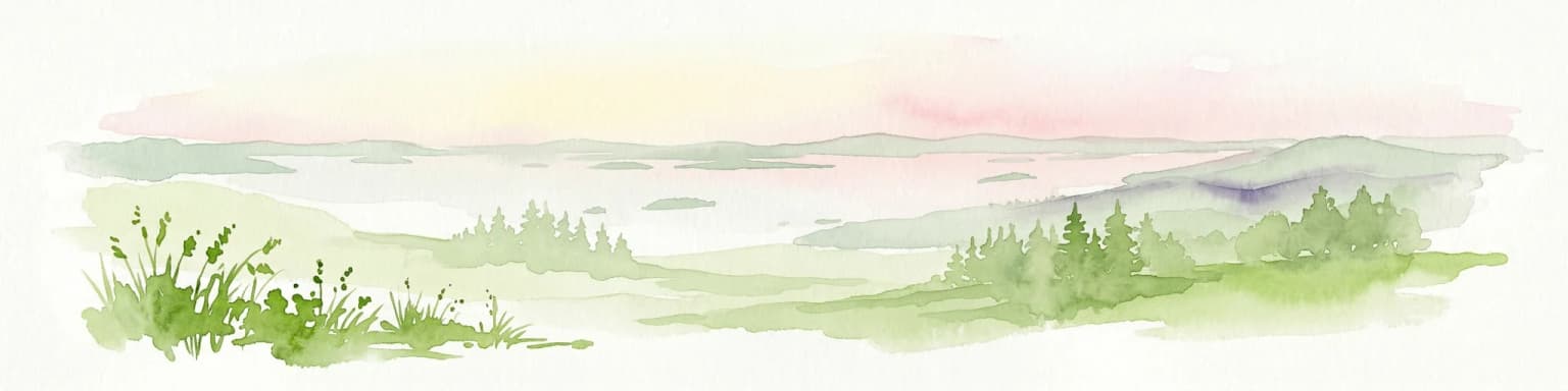
The landscape of Kenozero National Park is defined by the interplay of glacial topography, water systems, and forest cover that creates a characteristically northern Russian scenery. The terrain is dominated by gently rolling hills and ridges formed by glacial moraines and outwash deposits, with elevation differences generally modest but creating an intricately varied topography. The park's name derives from Lake Kenozero, a large lake with a complex shape featuring multiple arms and islands that reflects the underlying glacial geology. Smaller lakes dot the landscape throughout the park, often nestled in depressions between the glacial ridges and connected by small rivers and streams that create a integrated hydrological network. The forest cover is typical of the northern taiga, with mature spruce forests in the valleys and moisture-retaining areas, while pine dominates the drier ridges and sandy soils. Open areas include both natural peat bogs and former agricultural lands that have been left to revert to forest or remain as open meadows.

Kenozero National Park ecosystems, habitats, and plant life

The nature of Kenozero National Park represents the southern edge of the northern taiga biome, creating a transitional environment where boreal forest ecosystems reach their southern limit in this part of Russia. The forest composition is dominated by coniferous species, with Norway spruce forming the primary tree species in the more moist and fertile locations, while Scots pine dominates the drier sites and peat bogs. Deciduous species, particularly birch and aspen, occur as secondary forest types and in areas affected by disturbance or historical human activity. The park's numerous lakes and wetlands create habitat diversity that supports a variety of plant communities, from submerged aquatic vegetation in the lakes to sphagnum mosses and cottongrass in the peat bogs. The mosaic of forest types, water bodies, and open wetlands creates a heterogeneous landscape that supports considerable biodiversity despite the northern location. The region is recognized as an Important Bird Area, with the old-growth forest areas providing crucial habitat for raptors and other bird species associated with minimally disturbed boreal ecosystems.

Kenozero National Park wildlife and species highlights

The wildlife of Kenozero National Park reflects the character of northern taiga ecosystems, with species assemblages typical of the boreal forest zone of European Russia. The forest habitats support populations of large mammals including moose, which is the most common ungulate in the region, along with smaller species such as squirrels, hares, and various mustelids including stoat and least weasel. Predators present in the park include wolves, which maintain populations in the area, along with red fox and the smaller北方匐. The bird fauna is particularly noteworthy, with the park providing important nesting habitat for birds of prey including the white-tailed eagle and lesser spotted eagle, both species of conservation concern in the region. The lakes and wetlands support diverse waterfowl communities, with species such as common goldeneye, tufted duck, and various grebes breeding in the marshy shores and island habitats. Fish populations in the lakes include species typical of northern Russian waters, with pike, perch, and various cyprinids supporting both ecological functions and traditional fishing by local communities.

Kenozero National Park conservation status and protection priorities

Kenozero National Park serves multiple conservation functions, protecting both the natural ecosystems of the northern taiga and the cultural landscape heritage that distinguishes this area from other Russian protected areas. The park's creation recognized that the region's value lies not only in its biological resources but in the integration of natural and cultural elements that together create a landscape of exceptional significance. The protection of old-growth forest areas within the park boundaries preserves habitat for species dependent on mature forest conditions, particularly the raptors that use the large trees for nesting. The lake ecosystems and wetland complexes are protected from development pressures that have affected similar waters elsewhere in the region, maintaining water quality and the ecological integrity of these interconnected systems. The management approach of the park explicitly acknowledges the traditional use of natural resources by local communities as compatible with conservation objectives, recognizing that centuries of sustainable use have shaped rather than degraded the landscape.

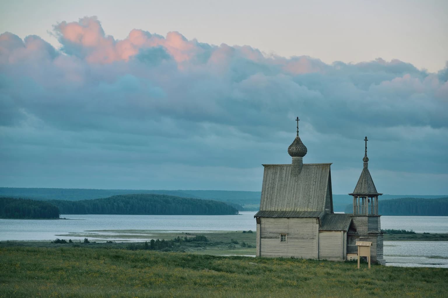
Kenozero National Park cultural meaning and human context

The cultural context of Kenozero National Park is defined by the survival of traditional Russian wooden architecture in a relatively untouched rural landscape, creating a cultural-ecological system that is increasingly rare in modern Russia. The villages and settlements within the park boundaries preserve patterns of land use and settlement that developed over centuries, with wooden houses, barns, and churches forming a built environment that blends with the surrounding forest and lake landscape. The wooden churches of the Kenozero region represent a distinctive architectural tradition, with designs adapted to local materials and building techniques that produced structures of remarkable elegance and durability. These churches, many dating to the 17th and 18th centuries, serve as both religious buildings and cultural symbols that connect the present landscape to centuries of human presence in the region. The cultural landscape is maintained through traditional activities including fishing, haymaking, and seasonal livestock grazing that have shaped the open areas and maintained the visual character of the region.

Top sights and standout views in Kenozero National Park

The outstanding highlights of Kenozero National Park include the ensemble of historic wooden churches that remain standing in villages throughout the park, the scenic landscape of forested hills surrounding Lake Kenozero with its complex island-studded shoreline, and the opportunity to experience a living traditional culture within a protected wilderness setting. The park offers visitors the chance to see some of the finest examples of northern Russian wooden church architecture, including the famous Pokrovsky church at Konevo with its distinctive multiple-tiered roof design. The natural landscape provides exceptional opportunities for wilderness recreation in a region where the combination of lakes, forests, and rolling terrain creates endlessly varied scenery. The park also serves as a window onto traditional Russian rural life, with local communities continuing practices of fishing, berry gathering, and seasonal land use that have defined the region for generations.

Best time to visit Kenozero National Park

The best time to visit Kenozero National Park is during the summer months from June through August, when the long northern days provide extended opportunities for outdoor exploration and the landscape is at its most accessible. Summer brings warm temperatures and the full development of the boreal forest, with wildflowers blooming in the open areas and the lakes and rivers fully accessible for boating and fishing. The autumn season from September through October offers a different experience, with the boreal forest displaying the characteristic colors of the taiga as birch and aspen turn golden before the long winter. Autumn can be an excellent time for wildlife viewing as animals become more active in preparation for winter. Winter visits are possible but require appropriate preparation for the harsh northern Russian climate, with snow covering the landscape and frozen lakes providing alternative access routes. The shoulder seasons of late spring and early autumn often provide the best combination of comfortable conditions and fewer visitors.

Park location guide

Geography guide, regional context, and park location map for Kenozero National Park

Kenozero National Park park geography, regions, and map view in Russia
Understand where Kenozero National Park sits in Russia through a broader geographic reading of the surrounding landscape, nearby location context, and its mapped position within the national park landscape.

How Kenozero National Park fits into Russia

Russia is a transcontinental nation spanning eleven time zones, bordered by fourteen countries. It is the world's largest country by area, covering 17,098,246 km². Moscow is the capital and largest city, while Saint Petersburg is the second-largest and a major cultural centre.

Wider geography shaping Kenozero National Park in Russia

Russia spans Eastern Europe and North Asia, covering 17,098,246 km². It shares land borders with fourteen countries, more than any other nation, and spans eleven time zones. The landscape includes vast plains, mountain ranges such as the Urals and Caucasus, and extensive coastlines along the Arctic Ocean, Pacific Ocean, Baltic Sea, Black Sea, and Caspian Sea.

Map view of Kenozero National Park

Use this park location map to pinpoint Kenozero National Park in Russia, understand its exact geographic position, and read its mapped placement within the surrounding landscape more clearly.

Pigeon | © OpenStreetMap contributors

Location context for Kenozero National Park

Arkhangelsk Oblast
Park atlas

Explore the Surrounding Boreal Forest Landscapes and Lakes in Northwestern Russia

Discover Other National Parks and Protected Areas Near Kenozersky National Park
Discover other national parks and protected areas situated near Kenozersky National Park, exploring a wider geographic context of boreal forest ecosystems and northern lake landscapes. Compare their unique conservation features, diverse mapped terrain, and cultural heritage, expanding your atlas-style discovery of the region's protected landscapes.
National parkArkhangelsk Oblast

Vodlozersky National Park: A Protected National Park within Arkhangelsk Oblast's Geography

Explore the mapped boundaries and natural landscape of this national park.

Vodlozersky National Park serves as a significant protected landscape within the Arkhangelsk Oblast region. This national park detail page provides focused access to its geographic identity, mapped terrain, and protected area status. Utilize MoriAtlas to understand the specific context of Vodlozersky National Park and its role in the regional atlas of natural areas, enhancing your geographic discovery.

Area
4,280 km²
Established
1991
IUCN
II
Visitors
1K annual
Watercolor illustration of a landscape with trees, hills, and water
National parkVologda Oblast

Russky Sever National Park: National Park Protected Landscape and Regional Geography

Explore mapped boundaries and natural terrain context.

Delve into the specifics of Russky Sever National Park, a key protected area situated in the Vologda Oblast region of Northwestern Russia. This page serves as a geographic anchor, detailing the park's protected landscape and its mapped presence within the regional atlas. Understand the natural terrain and boundaries that define this significant national park, providing a focused perspective for atlas-based exploration and geographic discovery.

Area
1,664 km²
Established
1992
IUCN
II
Relief
Highland
National parkArkhangelsk Oblast

Onezhskoye Pomorye National Park: National Park Protected Landscape and Geographic Context

Explore Arkhangelsk Oblast's mapped natural terrain and protected areas.

This detail provides a focused look at Onezhskoye Pomorye National Park, a designated national park within Russia's Arkhangelsk Oblast. Understand its precise geographic setting and the mapped boundaries that define its protected landscape. MoriAtlas offers a structured approach to exploring the natural terrain and regional geography, making it an essential resource for detailed park and atlas-based discovery.

Area
2,016.68 km²
Established
2013
IUCN
II
Relief
Lowland
Natural monumentRepublic of Karelia

Mount Vottovaara Natural Monument: Explore Protected Landscape and Geographic Context in Karelia

Mapped protected area boundaries and regional terrain in the Republic of Karelia.

Mount Vottovaara represents a significant natural monument within the Republic of Karelia, offering a focal point for structured geographic exploration. This protected landscape's mapped boundaries and its setting within the region's broader geography are key to understanding its atlas value. MoriAtlas provides the framework to examine the specific identity of Mount Vottovaara as a protected area, encouraging detailed study of its natural features and regional context.

Area
15 km²
Established
2011
Relief
Mixed relief
Climate
Boreal
National parkNorth Karelia

Petkeljärvi National Park: Distinct Protected Landscape and Esker Formations in North Karelia

Discover Finland's unique esker ridges and boreal forests.

Petkeljärvi National Park represents a distinctive protected landscape in North Karelia, Finland, celebrated for its prominent esker formations that define its topography. The park showcases light Scots pine forests growing on sandy soils, creating an open forest character that sets it apart. Visitors can explore the mapped geography, including winding ridges, wetlands, and lake scenery, alongside preserved historical fortifications from the Continuation War, offering a rich blend of natural and cultural heritage within this compact national park.

Area
7 km²
Established
1956
IUCN
II
Visitors
17.3K annual
Watercolor illustration showing a lake with forested shores and mountains in the background
National parkRepublic of Karelia

Ladoga Skerries National Park: National Park Protected Landscape & Geography

Mapped boundaries and regional context in the Republic of Karelia.

Discover Ladoga Skerries National Park, a key protected area recognized as a national park within the Republic of Karelia. This page provides essential context for understanding its mapped boundaries, the natural terrain it encompasses, and its geographical significance within the broader regional landscape. Utilize this information for structured atlas exploration of protected natural environments, focusing on the distinct identity of Ladoga Skerries National Park.

Area
1,220 km²
Established
2017
IUCN
II
Relief
Lowland
National parkNorth Karelia

Patvinsuo National Park: Protected Landscape Geography and Map Context

National park exploration in North Karelia, Finland.

Patvinsuo National Park stands as a vital protected area within North Karelia, Finland. This page serves as an atlas entry point, detailing the park's geographic scope, mapped boundaries, and its significance as a protected landscape. Users can explore the regional context and understand the natural terrain that characterizes this important Finnish national park, facilitating structured geographic discovery.

Area
105 km²
Established
1982
IUCN
II
Visitors
18.6K annual
Watercolor illustration of a landscape featuring green vegetation, rolling hills, and a body of water under a pastel sky
National parkNorth Karelia

Koli National Park: Protected National Park in North Karelia, Finland

Explore mapped landscape and regional geography.

Koli National Park represents a significant protected area within the eastern Finnish region of North Karelia. This page offers detailed geographic context and insight into the park's mapped landscape, essential for understanding its place within the broader atlas of Finland's natural terrain. Discover the protected boundaries and regional setting of this key national park.

Area
30 km²
Established
1991
IUCN
II
Visitors
249.8K annual

Common questions about visiting, size, designation, and location context for Kenozero National Park

Kenozero National Park FAQs for park facts, access, geography, and protected area context
Find quick answers about Kenozero National Park, including protected-area facts, park geography, trail and visitor context, and how the park fits into its surrounding country and regional landscape.
MoriAtlas Explorer

Continue Your Protected Areas Search Across the Global Atlas

Deepen your exploration by continuing the structured search for national parks and protected areas worldwide. Utilize the comprehensive filtering capabilities to compare different conservation landscapes and refine your understanding of global park geography. Discover more about the distribution and characteristics of protected natural areas.

Global natural geography