Mori Atlas logo
Park earthquake history

Review recorded seismic events by magnitude, date, and geographic proximity to park boundaries

Historical Earthquake Data and Recorded Seismic Activity Near Khangchendzonga National Park

This collection presents a catalogue of recorded earthquakes associated by epicentre distance with the high altitude terrain of Khangchendzonga National Park in Sikkim. Users can examine historical seismic event details, including event dates, magnitudes, and calculated distances from the park boundaries. The data provides a geographic perspective on seismic occurrences within this Himalayan region, focusing on transparency and archival accuracy through external geological reporting.

Related tags

Himalayan national parksUNESCO World Heritage SitesMixed heritage sitesHigh altitude protected areasBirdwatching destinations

India's first UNESCO Mixed Heritage site protecting the third-highest mountain in the world

Khangchendzonga National Park

Khangchendzonga National Park is a prestigious protected area located in the Himalayan state of Sikkim, India. Covering approximately 1,784 square kilometers, the park encompasses a dramatic altitudinal range from 1,829 meters to over 8,550 meters, making it one of the few high-altitude national parks in India. The park is named after Mount Kangchenjunga, the third-highest mountain in the world at 8,586 meters, which rises dramatically within the park's boundaries. In July 2016, Khangchendzonga became India's first UNESCO Mixed Heritage site, recognized for both its outstanding natural universal value and cultural significance. The park forms part of the larger Khangchendzonga Biosphere Reserve and shares international boundaries with the Qomolangma National Nature Preserve in Tibet to the north and the Kanchenjunga Conservation Area in Nepal to the west, creating a transboundary conservation landscape of global importance.

Location
India
Park type
National park
Established
1977
Area
1,784 km²
Highest point
8,586 m
Khangchendzonga National Park details

Search Khangchendzonga National Park records by depth and distance

Review earthquake history associated with Khangchendzonga National Park

The Khangchendzonga National Park earthquake record is organised by event epicentres and calculated park distance, without claiming each event occurred inside it. Search dates, magnitudes, depths, named places, distances, and cited sources for historical understanding without assigning seismic causation to park features, assessing current danger, or predicting activity.

Sort by
Magnitude
Location

This page describes catalogued earthquakes associated with the park by epicentre location and distance. It does not establish causation, assess current danger, or predict future earthquakes.

No earthquake records match the current filters

Park atlas

Move from Khangchendzonga National Park earthquake data to new places

Explore other protected parks beyond Khangchendzonga National Park

After the Khangchendzonga National Park earthquake catalogue, a distinct park selection opens further atlas routes. Inclusion does not imply shared national-park status, terrain, geological context, earthquake evidence, nearby geography, seismic relevance, hazards, risk, or equal record detail.
National parkDarjeeling District
About 34 km away#1 closest

South

Singalila National Park: A High-Altitude Protected Landscape on the Eastern Himalayan Ridge

Explore mapped terrain and alpine park geography in Darjeeling District.

Singalila National Park represents a crucial protected natural landscape within the Eastern Himalayas, located in India's Darjeeling District. Defined by its dramatic ridgeline that ascends to over 4,000 meters, the park offers a unique alpine environment with stunning panoramic views. Its designation as a national park highlights its importance for conservation and its role in the regional geographic atlas. Discover the mapped boundaries and ecological context of this remarkable mountain wilderness, from its dense forests to its open alpine meadows.

Area
78.6 km²
Established
1986
IUCN
II
Relief
Mountain
National parkKalimpong district
49 km away#2 closest

Southeast

Neora Valley National Park: India's Protected Landscape in Kalimpong District

Explore mapped boundaries and regional geography.

Neora Valley National Park is a significant protected area designated as a national park in India, located within the Kalimpong district. This dedicated page provides detailed geographic information, focusing on its mapped boundaries and its role as a natural landscape within the region. Understand the specific protected-area context of Neora Valley National Park for atlas-based discovery.

Area
88 km²
Established
1986
IUCN
II
Relief
Mountain
Nature reserveBhutan
About 52 km away#3 closest

Southeast

Torsa Strict Nature Reserve: Bhutan Nature Reserve Protected Landscape Discovery

Mapped geography and protected boundaries within the Eastern Himalayas.

Torsa Strict Nature Reserve represents a vital component of Bhutan's protected natural areas. This detail page offers a structured exploration of its identity as a nature reserve, focusing on its geographic placement within the country and the surrounding Himalayan terrain. Users can investigate the mapped outlines of this protected landscape, gaining a clearer understanding of its regional context and its significance for atlas-driven geographic discovery.

Area
609.51 km²
Established
1993
Relief
Mountain
Scope
Terrestrial
National parkBhutan
62 km away#4 closest

East

Jigme Dorji National Park: Bhutan's Vast Protected Landscape and Himalayan Geography

Explore mapped boundaries and diverse ecosystems within this national park.

Jigme Dorji National Park, located in the heart of Bhutan, is a testament to the country's commitment to conservation, covering over 4,300 square kilometers of pristine Himalayan terrain. This national park encompasses diverse ecosystems, from lush subtropical forests in its lower reaches to barren alpine meadows and permanent snowfields at its highest elevations. The park's extensive mapped boundaries showcase a landscape vital for unique wildlife and sacred cultural sites, offering a comprehensive view for atlas-based geographic discovery.

Area
4,316 km²
Established
1974
IUCN
II
Relief
Mountain
National parkJalpaiguri district
About 96 km away#5 closest

Southeast

Gorumara National Park: India National Park Atlas and Protected Landscape Geography

Discover the mapped boundaries and regional terrain.

Gorumara National Park stands as a vital protected natural area within India's Jalpaiguri district. This entry provides detailed atlas-focused information, detailing the park's geographic identity and its position within the regional landscape context. Understand the mapped protected boundaries and explore the unique terrain that characterizes Gorumara National Park as a key national park entity. It serves as a foundational point for geographic discovery within India's network of protected lands.

Area
79.99 km²
Established
1992
IUCN
II
Relief
Mixed relief
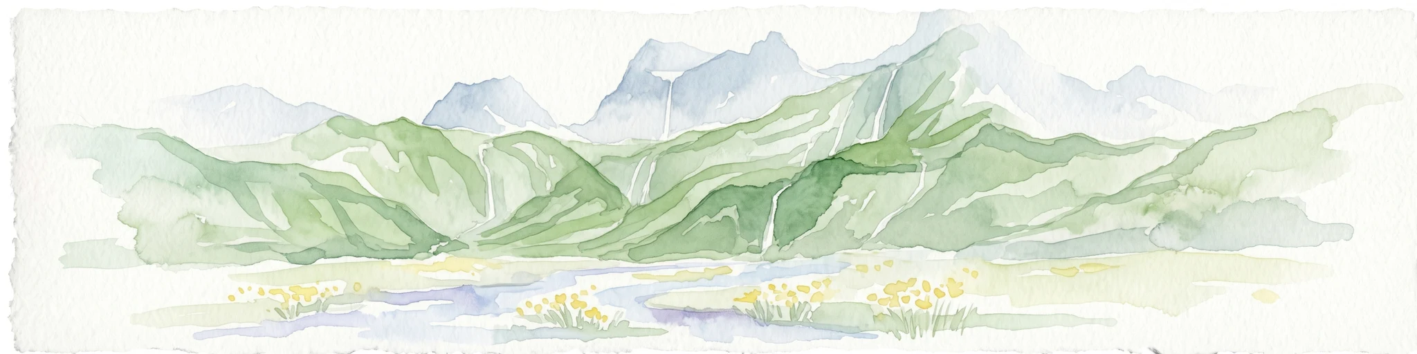
Watercolor illustration of mountain landscape with green slopes and blue peaks, showing a valley with yellow flowers in the foreground
National parkKoshi Province
About 96 km away#6 closest

West

Makalu Barun National Park: Protected Landscape and Regional Geography in Koshi Province

Explore the mapped boundaries of this national park.

Makalu Barun National Park is a designated national park providing critical protected landscape data for geographic discovery. Understand its position within Koshi Province and its specific mapped boundaries, offering insights into Nepal's protected areas. This entry is designed for users seeking detailed atlas information on the park's terrain and its role in regional conservation contexts.

Area
1,500 km²
Established
1992
IUCN
II
Relief
Mountain
Wildlife reserveBhutan
About 98 km away#7 closest

East

Motithang Takin Preserve: Bhutan Wildlife Reserve with Unique Protected Landscape Context

Explore the mapped geography and national animal sanctuary.

The Motithang Takin Preserve offers a unique glimpse into Bhutan's dedication to its national animal, the takin. This wildlife reserve, located near the capital city, provides a defined protected area where the distinctive goat-antelope thrives. By examining the preserve's mapped boundaries and its forested terrain, users gain insight into Bhutan's approach to conservation and the cultural significance of this iconic species within the Himalayan landscape.

Area
0.034 km²
IUCN
IV
Relief
Upland
Climate
Temperate
National parkKoshi Province
113 km away#8 closest

West

Sagarmatha National Park: Mapped Protected Landscape and Geographic Identity in Koshi Province

Explore the protected area's regional geographic context.

Sagarmatha National Park serves as a distinct protected national park entity. This page facilitates an in-depth understanding of its mapped boundaries and its location within Koshi Province. Users can explore the park's specific landscape characteristics and its position within the broader regional geography, providing a foundation for atlas and map-driven discovery.

Area
1,148 km²
Established
1976
IUCN
II
Visitors
19K annual
MoriAtlas Explorer

Continue Khangchendzonga National Park Discovery: Map and Regional Landscape Context

Deepen your understanding of Khangchendzonga National Park by exploring its detailed geographic context and mapped protected area boundaries. This focus allows for a richer appreciation of its regional landscape setting within Sikkim, facilitating structured atlas exploration and contributing to a comprehensive view of India's natural heritage.