Mori Atlas logo
Nearby park discovery

Mapping the geographic context and distribution of conservation lands in the Northern Territory

Protected Areas and Surrounding Regional Landscapes Near Kintore Caves Conservation Reserve

Explore the regional geography of the Northern Territory by identifying protected areas surrounding the Kintore Caves Conservation Reserve. This overview displays the spatial distribution of nearby natural landscapes and conservation sites to help clarify the relationship between local karst environments and broader regional terrain.

Related tags

karst landscapelimestone cavescave faunasubterranean habitattropical north australia

A karst limestone conservation reserve with rare cave fauna near Katherine, Northern Territory

Kintore Caves Conservation Reserve

Kintore Caves Conservation Reserve is a protected area in the Northern Territory of Australia, situated roughly 12 kilometres west of the regional town of Katherine and about 330 kilometres southeast of the territorial capital, Darwin. The reserve protects an outcropping of karst limestone that holds an extensive network of caves, combining a distinctive geological landscape with biological and archaeological significance. Beyond its geological character, the reserve is recognized for the rare fauna sheltered within its cave systems and for the evidence it preserves of a long history of human occupation in the region. Its relatively compact footprint makes it a focused conservation site rather than a broad landscape park, and it is formally classified as IUCN Category V, recognizing it as a protected landscape and seascape where the interaction of people and nature over time is part of its conservation value. The reserve is administered by the Parks and Wildlife Commission of the Northern Territory and sits in a transitional rural setting, bordered to the north by the Northern Territory Rural College and to the south by privately held rural land. This positioning places the protection of the karst environment in direct relationship with adjacent land uses in the Katherine region.

Location
Australia
Park type
Protected landscape
Established
1965
Area
4.2 km²
Kintore Caves Conservation Reserve Atlas
Regional park map

See the ranked park cluster in its geographic setting

Nearby parks around Kintore Caves Conservation Reserve

This regional map shows the same 20 nearby parks ranked below around Kintore Caves Conservation Reserve. Select a ranked marker to highlight that park’s boundary where boundary data is available.
Reference park: Kintore Caves Conservation ReserveRanked nearby park20 nearby parks shown
20 nearby parks

Geographic proximity and regional terrain comparison across Northern Territory conservation landscapes

Ranked Protected Areas and Parks Near Kintore Caves Conservation Reserve

Examine distance-ranked protected areas situated geographically near Kintore Caves Conservation Reserve through mapped boundary measurements and directional separation. Compare surrounding regional park geography and contextual environmental traits to analyze adjacent protected landscapes across the territory.
National parkNorthern Territory
About 21 km away#1 closest

Northeast

Nitmiluk National Park: Detailed Protected Landscape and Geographic Context

Explore mapped park boundaries and regional terrain.

Delve into the specifics of Nitmiluk National Park, a designated national park within the Northern Territory of Australia. This section focuses on its protected-area status and how its geography contributes to the regional landscape. Users can explore the park's mapped extent and understand its placement within the broader geographical atlas, highlighting its importance as a distinct protected natural area.

Area
2,946.64 km²
Established
1977
IUCN
II
Visitors
309.8K annual
Nature reserveNorthern Territory
About 38 km away#2 closest

Southeast

Cutta Cutta Caves Nature Park: A Tropical Karst and Cave Reserve in Northern Territory

Protected tropical limestone karst and subterranean landscape geography.

Cutta Cutta Caves Nature Park is a specialized protected area in Australia, safeguarding a unique tropical limestone karst landscape near Katherine. This reserve manages subterranean cave systems, mineral-rich chambers, and the surrounding woodland terrain. As a significant ecological site, it provides essential habitat for rare wildlife, highlighting the complex intersection of geological formations and tropical biodiversity within the Northern Territory.

Area
14.99 km²
Established
1967
IUCN
III
Visitors
17.2K annual
Nature reserveNorthern Territory
About 69 km away#3 closest

Southwest

Giwining / Flora River Nature Park: Protected Limestone Landscapes of Northern Territory

Geological spring systems and tropical riverine corridors.

The landscape of Giwining / Flora River Nature Park is defined by a network of calcium-rich springs emerging from Tindall Limestone. These waters have sculpted tufa dams and cascading waterfalls along the Flora River, creating a unique geological environment within the savanna woodlands of the Northern Territory.

Area
78.24 km²
Established
1993
IUCN
V
Relief
Lowland
National parkAustralia
About 71 km away#4 closest

North

Kakadu National Park: Australia's Protected Landscape and Regional Geography

Explore Kakadu National Park's mapped boundaries and natural terrain.

Kakadu National Park stands as a significant national park entity within Australia, providing rich geographic context for atlas discovery. This page details the park's protected area identity, its mapped natural landscapes, and its place within the broader Australian continent's geography. Understand the unique regional setting and the specific topographic features that define Kakadu National Park for detailed exploration and comparative geographic analysis.

Area
19,804 km²
Established
1979
IUCN
II
Visitors
250K annual
National parkNorthern Territory
About 113 km away#5 closest

Southeast

Elsey National Park: Northern Territory National Park Atlas and Protected Landscape Context

Discover the mapped terrain and unique natural features of Elsey National Park.

Elsey National Park, located in Australia's Northern Territory, is a significant protected area known for its distinctive thermal springs and characteristic paperbark woodlands. This national park provides a valuable point of study for understanding regional geography, mapped natural landscapes, and the hydrological importance of its riverine environments, offering a concrete example of protected land within the tropical savanna biome.

Area
138.96 km²
Established
1991
IUCN
II
Visitors
207.7K annual
National parkNorthern Territory
About 133 km away#6 closest

North

Mary River National Park: National Park in Northern Territory, Australia

Mapped protected landscape and regional geographic context.

Mary River National Park is an officially designated national park located in the vast Northern Territory of Australia. This protected area offers rich opportunities for geographic discovery, allowing users to explore its mapped boundaries and understand its significance within the regional landscape. Discover the natural context and atlas positioning of Mary River National Park, contributing to a broader understanding of protected lands in Northern Australia.

Area
1,215.25 km²
Established
1966
IUCN
II
Visitors
336.4K annual
National parkNorthern Territory
About 141 km away#7 closest

West

Fish River Station National Park: Protected Landscapes and Geographic Atlas

Indigenous-managed conservation in the Northern Territory

Fish River Station serves as a critical conservation block south of Darwin, featuring a distinctive blend of riverine floodplains, billabongs, and rugged upland ranges. Its protected boundaries preserve a wide array of tropical habitats, highlighting the intersection of traditional land management and large-scale environmental preservation within the Australian National Reserve System.

Area
1,781 km²
Established
2010
IUCN
II
Relief
Mixed relief
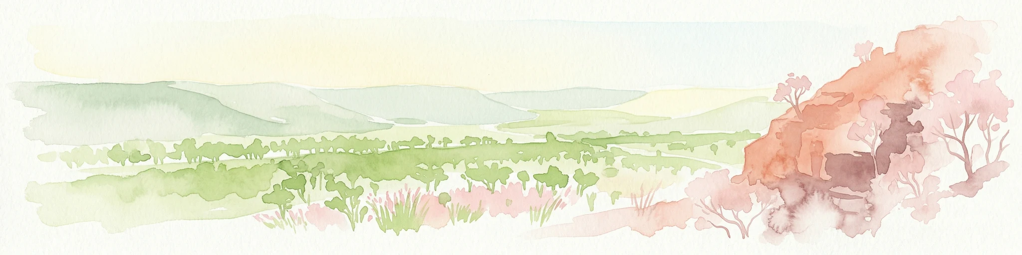
Watercolor illustration showing rolling green hills, a red rock formation, and scattered trees
National parkNorthern Territory
About 144 km away#8 closest

Southwest

Judbarra National Park: Northern Territory National Park Protected Landscape and Geography

Discover its mapped terrain and ancient Indigenous rock art.

Judbarra National Park is a major national park in Australia's Northern Territory, recognized for its extensive Indigenous rock art, which constitutes a significant artistic province. Spanning a vast area with two distinct geographic sections, the park showcases a transition between tropical and semi-arid ecosystems. Users can explore its rugged terrain, sandstone escarpments, and mapped park boundaries to understand its unique regional geographic context and rich cultural heritage.

Area
13,004.1 km²
Established
1990
IUCN
II
Relief
Mixed relief
National parkNorthern Territory
About 164 km away#9 closest

Northwest

Litchfield National Park: Northern Territory National Park Protected Landscape Atlas

Explore regional geography and mapped park boundaries.

Litchfield National Park is a protected natural area located in Australia's Northern Territory, designated as a national park. This page offers detailed geographic context and explores the park's mapped boundaries, providing a foundational understanding of its protected landscape identity. Discover how Litchfield National Park fits within the broader atlas of Australian conservation lands, highlighting its regional geographic significance and mapped terrain.

Area
1,458.47 km²
Established
1991
IUCN
II
Visitors
329.6K annual
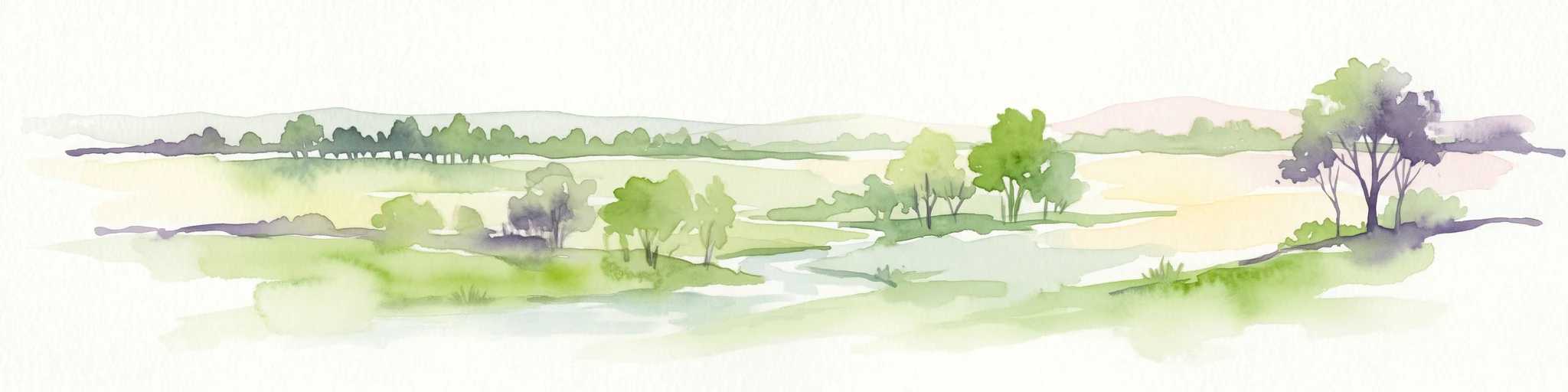
Watercolor illustration of a landscape with trees, open fields, and distant hills.
National parkNorthern Territory
About 195 km away#10 closest

North

Djukbinj National Park: Protected Landscape and Geographic Atlas Entry for Northern Territory

Mapped boundaries and regional landscape context for Djukbinj National Park.

Delve into Djukbinj National Park, a designated national park situated within the extensive Northern Territory of Australia. This entry provides an atlas-style examination of the park, highlighting its protected landscape features and geographic positioning. Discover detailed information on its mapped boundaries and how it contributes to the overall regional geography and natural terrain of Northern Australia, offering a unique lens for protected-area exploration.

Area
554.41 km²
Established
1997
IUCN
II
Climate
Tropical
Nature reserveNorthern Territory
About 225 km away#11 closest

Northwest

Fogg Dam Conservation Reserve: Mapping the Floodplains of the Northern Territory

A critical monsoonal wetland and protected nature reserve.

Fogg Dam Conservation Reserve serves as a primary example of Top End floodplain geography. This detailed look covers the shifting landscape patterns, from expansive wet season inundations to the receding pools of the dry season, providing a clear overview of the reserve's protected environmental boundaries and ecological setting.

Area
37.08 km²
Established
1982
IUCN
V
Visitors
63.2K annual
Wildlife reserveNorthern Territory
About 229 km away#12 closest

Northwest

Blackmore River Conservation Reserve: Protected Riverine Geography in the Northern Territory

A tropical riparian conservation corridor near Darwin

Blackmore River Conservation Reserve features a distinct 6.5-kilometre river corridor that shelters threatened plant species within the Northern Territory. This protected area offers insight into tropical riparian ecology, showcasing the transition between lush watercourse vegetation and surrounding woodland in the Darwin hinterland.

Area
5.47 km²
Established
1984
IUCN
V
Relief
Lowland
Wildlife reserveNorthern Territory
About 236 km away#13 closest

Northwest

Black Jungle Conservation Reserve: Map, Geography, and Protected Landscape Context

Protected tropical savanna and floodplain wetlands in Northern Territory

Situated in the Northern Territory, Black Jungle Conservation Reserve preserves an essential link within the Adelaide River Coastal Floodplain. This wildlife reserve features rare spring-fed monsoon rainforests set against a backdrop of open eucalypt savanna, providing a protected sanctuary for internationally significant waterbird populations and saltwater crocodiles within a complex mosaic of tidal and seasonal wetlands.

Area
49.51 km²
Established
1986
IUCN
VI
Relief
Lowland
Nature reserveNorthern Territory
About 247 km away#14 closest

Northwest

Howard Springs Nature Park: Protected Landscape Maps and Regional Geography in Northern Territory

Detailed overview of tropical springs and monsoon forest terrain.

Howard Springs Nature Park offers a concentrated look at the unique Top End landscape through its permanent freshwater springs and bordering paperbark wetlands. Located near Darwin, this reserve provides essential habitat for waterfowl and serves as a primary example of protected inland spring systems within the Australian Northern Territory geography.

Area
2.86 km²
Established
1952
IUCN
V
Relief
Lowland
Wildlife reserveNorthern Territory
About 250 km away#15 closest

Northwest

Howard Springs Hunting Reserve: Mapped Protected Landscape and Regional Geography

Wildlife reserve terrain within the Howard Sand Plains

Howard Springs Hunting Reserve is a specifically managed wildlife reserve in Australia's Northern Territory, positioned within the Howard Sand Plains. This area serves as a vital component of a larger interconnected landscape that flows from inland wetlands toward the Shoal Bay coastal environment. Providing a unique look at sustainable-use protected lands, this resource offers geographic insights into how the reserve interacts with adjacent conservation corridors in the Darwin region.

Area
16.05 km²
Established
1984
IUCN
VI
Relief
Lowland
Nature reserveNorthern Territory
About 252 km away#16 closest

East

Wongalara Sanctuary: Protected Landscapes and Top End Geography

Nature reserve featuring sandstone escarpments and savannah woodlands

Wongalara Sanctuary acts as a vital nature reserve and ecological refuge within Australia's Northern Territory. Spanning rugged sandstone plateaus, monsoon rainforests, and seasonal wetlands, the protected area maintains a rare, feral herbivore-free environment that supports extensive biodiversity across its mapped river corridors.

Area
1,910 km²
Established
2007
Relief
Upland
Climate
Tropical
Protected areaNorthern Territory
About 254 km away#17 closest

Northwest

Shoal Bay Coastal Reserve Protected Landscape Mapping and Geographic Context

Coastal wetlands and eucalypt woodland in Northern Territory

Shoal Bay Coastal Reserve protects an expansive coastal fringe characterized by large tidal mud-flats and surrounding saline wetlands. This Northern Territory site offers a complex landscape where monsoon vine forests and woodland-covered uplands meet tidal substrates, providing significant habitat for migratory waterbirds.

Area
123 km²
Established
2000
IUCN
VI
Relief
Lowland
National parkNorthern Territory
About 256 km away#18 closest

Northwest

Charles Darwin National Park: Discover its Mapped Landscape, WWII Bunkers, and Larrakia Heritage

Northern Territory protected area with significant historical and geographic context.

Charles Darwin National Park represents a distinct protected landscape in Australia's Northern Territory, offering a rich tapestry of natural beauty and historical significance. This national park is renowned for its well-preserved World War II concrete bunker complex, serving as a direct link to Australia's wartime past. Beyond its military history, the park encompasses tropical savanna woodlands and coastal terrains that provide panoramic views of Darwin Harbour. Its indigenous heritage, including ancient shell middens, highlights thousands of years of Larrakia land use, making it a layered geographic and cultural discovery point.

Area
13.03 km²
Established
1998
IUCN
II
Climate
Tropical
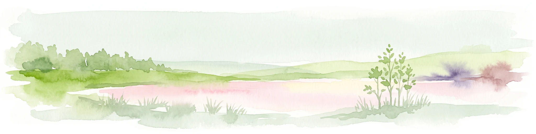
A soft watercolor painting showing a pinkish lagoon surrounded by green vegetation and rolling hills in the distance.
Wildlife reserveNorthern Territory
About 256 km away#19 closest

Northwest

Knuckey Lagoons Conservation Reserve: Geographic Profile and Protected Wetland Map

Tropical lagoon habitat within the Northern Territory landscape

This wildlife reserve preserves an essential tropical lagoon and wetland environment on the suburban edge of Darwin. Established in 1966, it maintains a fragment of the seasonal coastal plain character within a heavily developed corridor, serving as an important case for localized habitat management in the Northern Territory.

Area
1.25 km²
Established
1966
IUCN
IV
Relief
Lowland
National parkNorthern Territory
About 257 km away#20 closest

East

Limmen National Park: Explore Australia's Northern Territory National Park & Protected Landscape

Discover mapped geography and regional context for this protected area.

Limmen National Park stands as a distinct protected area within the Northern Territory, offering valuable insights for geographic exploration. This national park serves as a focal point for understanding the mapped landscape and the broader regional context of protected lands in Northern Australia. Its identity as a national park contributes significantly to the geographic narrative of the territory, making it a crucial point for atlas-based discovery.

Area
9,369.26 km²
Established
2012
IUCN
II
Relief
Upland
Distance methodology

Geographic measurements, not driving distances

How nearby park distances are calculated

Distances use park boundaries whenever the available geometry allows it. When one or both boundaries are missing, the mapped park locations provide a clearly labelled estimate. Every value represents straight-line geographic separation and does not use roads or routing.

Boundary distance

Calculated between the nearest points of both park boundaries.

Location-to-boundary estimate

Estimated from one mapped park location to the nearest boundary of the other park.

Mapped-location estimate

Estimated between the mapped locations of both parks.

MoriAtlas Explorer

Explore the Geological Map and Protected Landscape of Kintore Caves Conservation Reserve

Examine the specific karst terrain and conservation boundaries of Kintore Caves Conservation Reserve within the Northern Territory. MoriAtlas provides a clear geographic perspective on this unique subterranean site and its place in the regional landscape. Begin exploring the protected features and geological heritage of this notable Australian conservation reserve today.