Mori Atlas logo
Park earthquake history

Review historical earthquake records and epicentre data linked to this vast Alaskan wilderness region

Catalogue of Recorded Seismic Activity and Earthquake History Near Kobuk Valley National Park

This archival catalogue provides a structured record of earthquakes associated by proximity to Kobuk Valley National Park. Users can trace historical seismic data, including event magnitude, depth, and calculated distance from the park boundary, sourced from comprehensive geological databases. These records offer a transparent view of the documented seismic activity surrounding this northwestern Alaskan landscape over time.

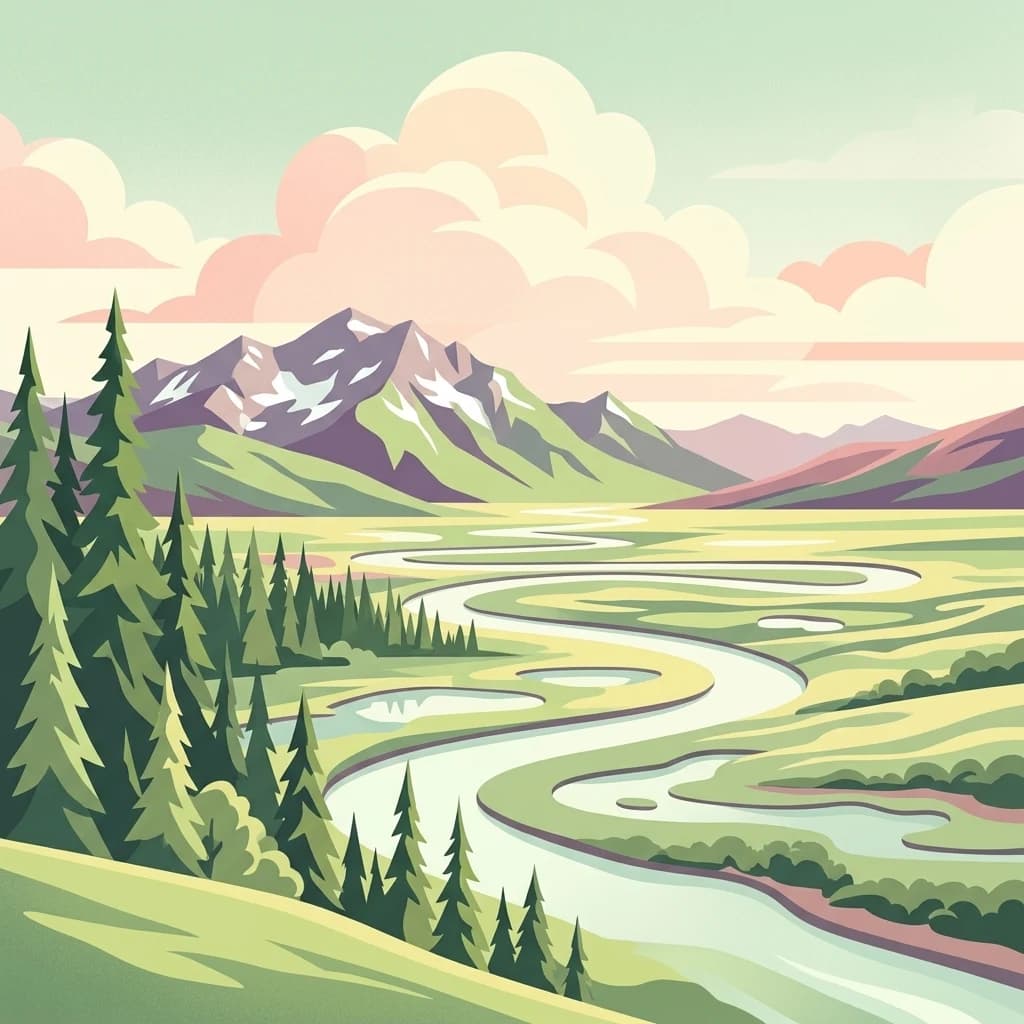
A stylized vector illustration of a meandering river flowing through a lush green valley toward distant snow-capped mountains, flanked by a dense forest of evergreen trees under soft pastel clouds.

Arctic sand dunes and caribou migration corridor in northwestern Alaska

Kobuk Valley National Park

Kobuk Valley National Park is a vast protected area in northwestern Alaska, situated about 25 miles north of the Arctic Circle within the Northwest Arctic Borough. The park encompasses a broad wetlands valley formed by the Kobuk River as it flows along the southern edge of the Baird Mountains, part of the western Brooks Range. What makes this park truly distinctive is the presence of the Great Kobuk Sand Dunes, the largest active Arctic dune field in North America, which are remnants of much larger dune systems that covered hundreds of thousands of acres following the retreat of Pleistocene glaciation. The park also protects critical migration routes for the Western Arctic caribou herd, one of the largest caribou herds in North America, whose annual crossing of the Kobuk River has supported Inupiat subsistence hunting for thousands of years. At nearly 1.75 million acres, the park is slightly larger than the state of Delaware and ranks among Alaska's eight national parks.

Location
United States of America
Park type
National park
Established
1980
Area
7,084.9 km²
Kobuk Valley National Park Protected Landscape

Search Kobuk Valley National Park events by magnitude and distance

Review the earthquake catalogue associated with Kobuk Valley National Park

Investigate historical earthquakes near Kobuk Valley National Park, a 7,084.9 km² terrestrial park in the United States with mixed relief and major waters; Event positions establish park proximity while dates, magnitudes, depths, localities, sources, and distances remain explicit. The search does not claim epicentres inside the boundary or derive current hazard from dunes, tundra, rivers, and mountains.

Sort by
Magnitude
Location

This page describes catalogued earthquakes associated with the park by epicentre location and distance. It does not establish causation, assess current danger, or predict future earthquakes.

No earthquake records match the current filters

Park atlas

Move from Kobuk Valley National Park earthquake records to new places

Discover other protected parks beyond Kobuk Valley National Park

The Kobuk Valley National Park earthquake catalogue is followed by an independently chosen group of protected destinations. Their inclusion does not establish shared valleys, national-park designation, geology, seismic evidence, geographic closeness, hazard conditions, risk, or comparable documentation.
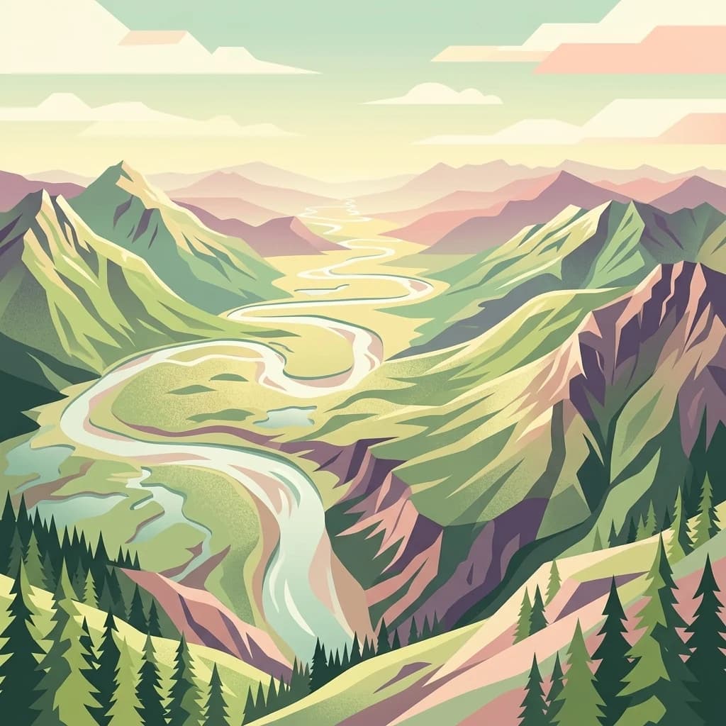
A digital illustration of a wide, winding river carving through a lush, mountainous valley with coniferous trees in the foreground and layered mountain ridges in the distance.
National parkAlaska
About 197 km away#1 closest

East

Gates of the Arctic National Park and Preserve: Alaska's Remote Protected Landscape

Explore mapped park boundaries and regional geographic context.

Delve into the protected landscape of Gates of the Arctic National Park and Preserve, a vast national park situated in Alaska. This entry offers a detailed perspective on its geographic setting, focusing on mapped boundaries and its significance as a protected area. Understand the scale and natural context of this remote wilderness for comprehensive atlas-based exploration.

Area
34,287 km²
Established
1978
IUCN
V
Visitors
11.9K annual
A stylized illustration of a wide Alaskan wetland area featuring winding waterways, patches of green grasses and reeds, and a distant boreal forest line under a pastel sky.
Wildlife reserveAlaska
About 431 km away#2 closest

South

Innoko Wilderness: Geographic Profile and Protected Landscape of Interior Alaska

Subarctic wilderness tracking wetlands and boreal transitions

Spanning over one million acres in the Alaskan interior, Innoko Wilderness offers a unique look at a sprawling subarctic ecosystem. Dominated by muskeg, interconnected lakes, and the floodplains of the Yukon and Innoko Rivers, this protected area functions as a critical transition zone between interior forests and western tundra landscapes.

Area
5,000 km²
Established
1980
IUCN
Ib
Relief
Lowland
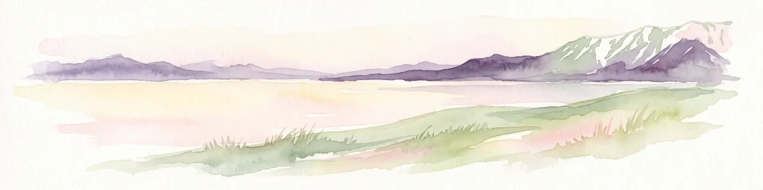
A horizontal watercolor painting depicting a pale, calm body of water in the foreground, with a grassy shoreline and rolling mountain silhouettes in the distance under a soft sky.
National parkChukotka Autonomous Okrug
434 km away#3 closest

West

Beringia National Park: Arctic Tundra and Mountain Landscape Discovery in Chukotka

Explore protected boundaries and subarctic geographic features

Beringia National Park offers an expansive look at the subarctic ecosystems of the Chukchi Peninsula. This protected area preserves a unique terrain characterized by low-lying tundra plains and dramatic mountain ridges. Its position along the Bering Strait provides significant geographic context for understanding northern land connections and the remnants of ice age migrations within the Russian Arctic wilderness.

Area
30,532 km²
Established
2013
IUCN
II
Relief
Mixed relief
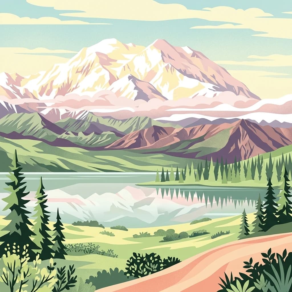
A stylized digital illustration of Denali, featuring a prominent snow-covered mountain peak reflected in a still body of water, surrounded by evergreen trees, low shrubs, and a winding dirt path in the foreground.
National parkAlaska
About 542 km away#4 closest

Southeast

Denali National Park and Preserve

Explore its mapped boundaries and Alaskan regional geography.

Denali National Park and Preserve, in Alaska, United States of America.

Area
24,464 km²
Established
1917
IUCN
V
Visitors
427.6K annual
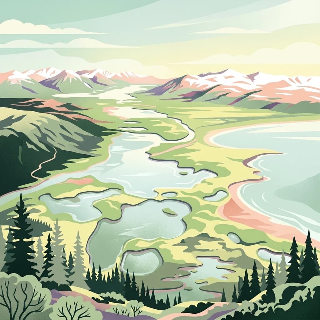
A stylized digital illustration of a mountainous landscape with snow-capped peaks in the background, winding river systems, multiple small lakes, and a coastal beach in the midground, framed by evergreen trees in the foreground.
National parkAlaska
About 709 km away#5 closest

Southeast

Lake Clark National Park and Preserve

Mapping the geographic context and protected park boundaries.

Lake Clark National Park and Preserve, in Alaska, United States of America. Landscapes: beaches, cliffs, and coasts.

Area
16,308.9 km²
Established
1980
IUCN
V
Visitors
19.8K annual
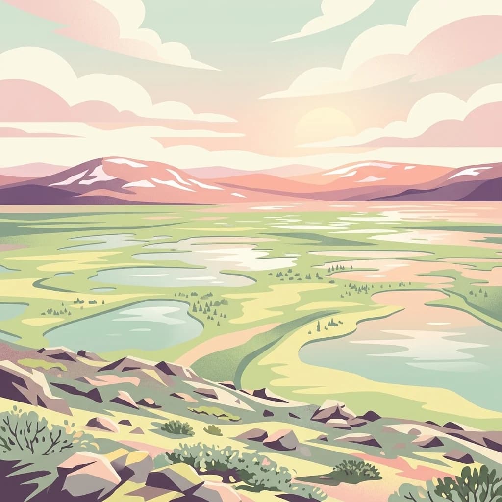
An illustration of the Old Crow Flats landscape with numerous small ponds in the foreground and distant, low snow-capped mountains under a sunset sky.
National parkYukon
712 km away#6 closest

East

Vuntut National Park: Yukon National Park Protected Area Map Exploration

Understanding its mapped protected boundaries and regional geography.

Delve into the specifics of Vuntut National Park, a designated national park situated within the Yukon region. This detail offers a focused look at its protected landscape identity, providing critical context for its geographic boundaries and role as a mapped natural area. Users can explore the core attributes of Vuntut National Park to enrich their understanding of its contribution to the protected lands atlas and regional geography.

Area
4,345 km²
Established
1995
IUCN
II
Relief
Lowland
A stylized illustration showing a winding river valley, evergreen trees, and distant mountains under a soft light.
National parkYukon
713 km away#7 closest

Northeast

Ivvavik National Park: Yukon National Park Protected Landscape and Geography

Explore mapped boundaries and regional context.

Ivvavik National Park is a designated national park within Yukon, representing a significant protected landscape. This page offers a focused exploration of its geographic identity, mapped boundaries, and its place within the broader atlas of Canada's natural areas. Understand Ivvavik National Park as a defined entity contributing to the regional geography and protected land distribution of Yukon.

Area
10,168 km²
Established
1984
IUCN
II
Visitors
179 annual
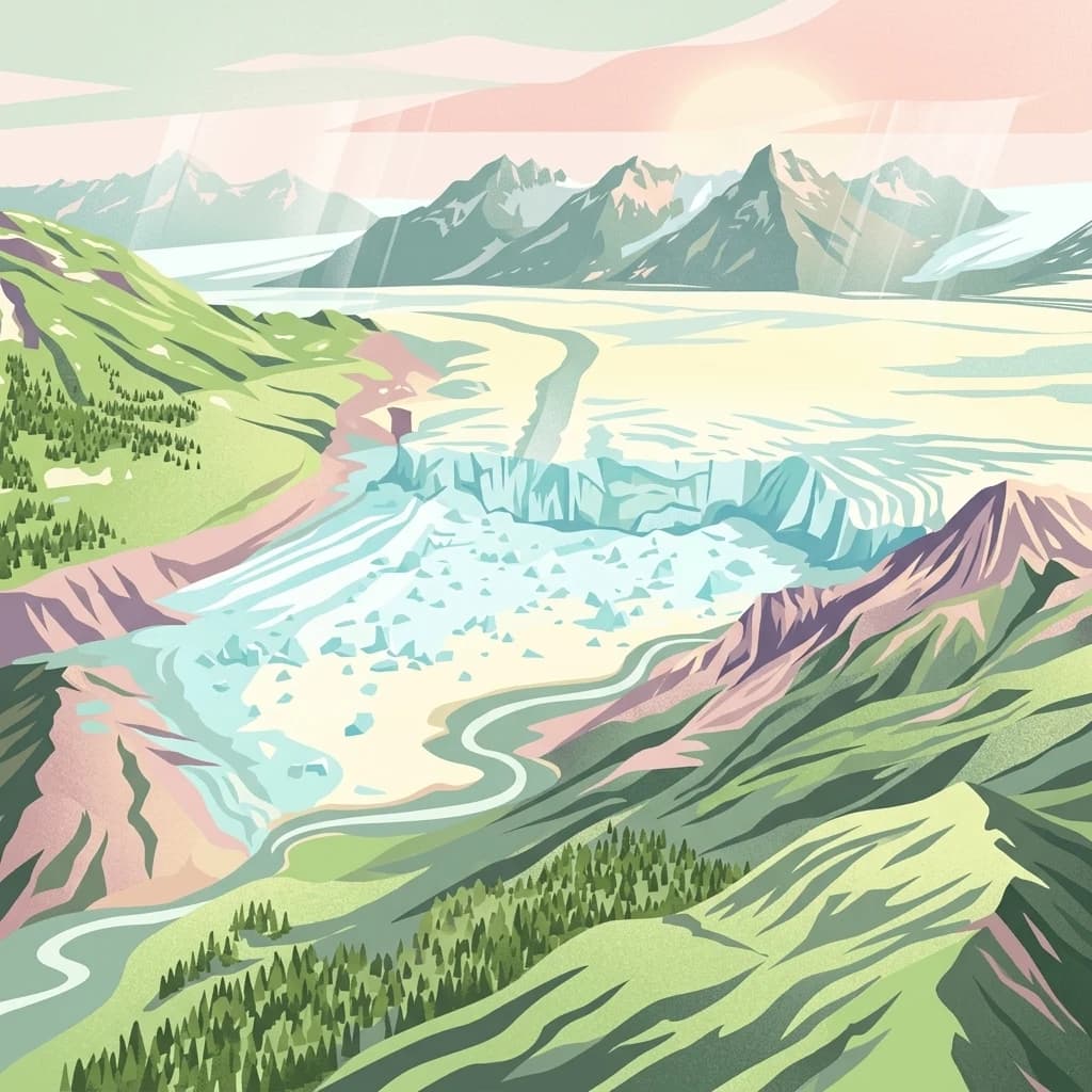
A stylized digital illustration showing an aerial view of a wide glacier flowing through a valley between mountain ranges, with evergreen forests on the slopes and a river winding through the foreground.
National parkAlaska
807 km away#8 closest

Southeast

Wrangell, St. Elias National Park and Preserve: Alaska's Expansive National Park Geography

Mapped protected lands and regional landscape context.

Dive into the detailed geography of Wrangell, St. Elias National Park and Preserve, a prominent national park located in Alaska. This resource focuses on its extensive mapped boundaries and its role as a protected landscape, offering insights valuable for understanding regional geography and the distribution of natural areas.

Area
53,320.6 km²
Established
1980
IUCN
II
Visitors
79.5K annual
MoriAtlas Explorer

Kobuk Valley National Park

Explore the map, landscapes, and protection details for Kobuk Valley National Park.