Mori Atlas logo
Nearby park discovery

Regional mapping of protected landscapes and geographic boundaries in the vicinity

National Parks and Protected Areas Surrounding Laguna de La Restinga National Park

Identify protected areas and natural landscapes surrounding the coastal ecosystems of Laguna de La Restinga National Park. This geographic overview visualizes the regional distribution of conservation areas across the nearby terrain, allowing for a structured comparison of mapped boundaries and regional park geography throughout the Venezuelan landscape.

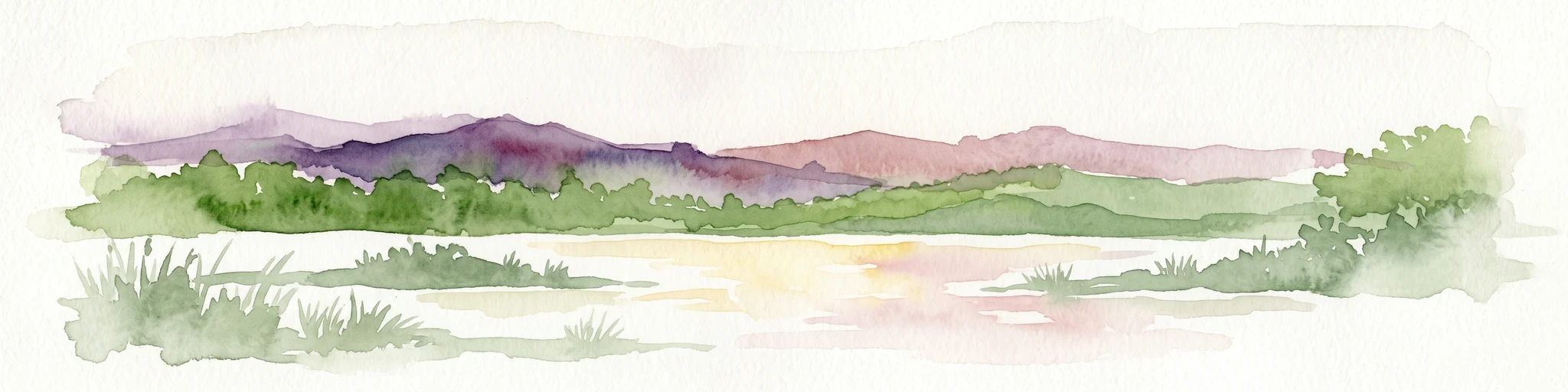
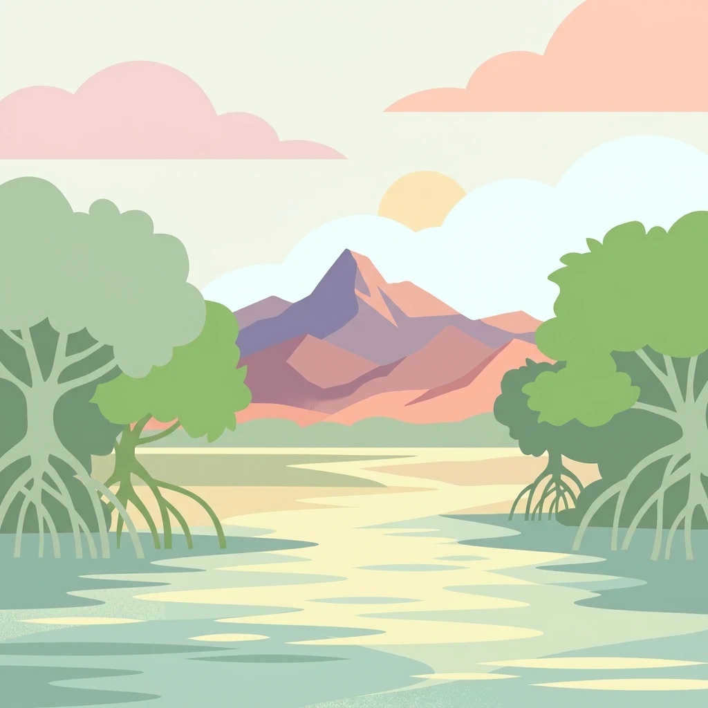
Illustration of mangrove trees in a wetland with a mountain range and sunset sky

Ramsar wetland sanctuary of mangroves and migratory birds on Isla Margarita

Laguna de La Restinga National Park

Laguna de La Restinga National Park is a coastal protected area on Isla Margarita in Nueva Esparta state, Venezuela. The park centers on a large shallow salt lagoon covering approximately 2,500 hectares, separated from the Caribbean Sea by a narrow sandbar and surrounded by extensive mangrove forests. Established in 1974 and later designated as a Ramsar Wetland of International Importance in 1996, the park protects one of Venezuela's most significant wetland ecosystems. The lagoon features 18 kilometres of winding channels that thread through mangrove islands, creating a distinctive labyrinthine landscape. The surrounding terrain lies within the Venezuelan Dry Forest biogeographical province, characterized by semi-arid conditions and xerophytic vegetation. The park supports exceptional biodiversity, particularly as a habitat for waterfowl, wading birds, and marine fish species.

Location
Venezuela
Park type
National park
Established
1974
Area
188 km²
Laguna de La Restinga National Park Geography
Regional park map

See the ranked park cluster in its geographic setting

Nearby parks around Laguna de La Restinga National Park

This regional map shows the same 20 nearby parks ranked below around Laguna de La Restinga National Park. Select a ranked marker to highlight that park’s boundary where boundary data is available.
Reference park: Laguna de La Restinga National ParkRanked nearby parkSelected boundary: Laguna de La Restinga National Park20 nearby parks shown
20 nearby parks

Ranked distance metrics and regional environmental comparisons across surrounding conservation landscapes

Parks and Protected Areas Geographically Near Laguna de La Restinga National Park

Geographic distance calculations establish a ranked collection of protected areas surrounding Laguna de La Restinga National Park for spatial comparison. Country context and recorded environmental characteristics reveal broader patterns across regional park geography without implying shared habitats or travel routes.
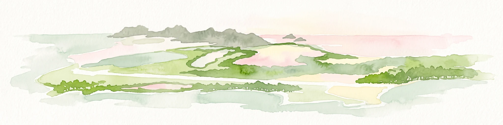
A soft-toned watercolor painting of a calm coastal lagoon with marshy green banks and distant hills against a light sky.
National parkNueva Esparta
Park boundaries overlap#1 closest

Southeast

Parque nacional Laguna de La Restinga: Protected Coastal Lagoon and Island Geography

Wetland ecosystems of Nueva Esparta, Venezuela

Parque nacional Laguna de La Restinga protects an extensive coastal lagoon bordered by dense mangrove forests and arid coastal scrub on Isla de Margarita. This critical wetland habitat serves as a biological bridge between the two halves of the island, offering a complex network of channels and sandy flats that support diverse coastal species and marine turtle nesting sites.

Area
188.62 km²
Established
1974
IUCN
II
Relief
Lowland
A soft watercolor illustration depicting a landscape of gently rolling hills, trees, and a winding path against a white background.
Natural monumentNueva Esparta
0.2 km away#2 closest

Southeast

Monumento natural Tetas de María Guevara: Protected Land and Coastal Geography

Analyzing the arid hills and mangrove lagoons of Isla de Margarita

Spanning 1,670 hectares in the Municipio Tubores, Monumento natural Tetas de María Guevara features a distinctive silhouette formed by twin hills. This protected landscape provides critical geographic contrast, pairing dry scrubland terrain with vital coastal wetland systems. The area serves as a significant natural reference point and ecological component within the broader Nueva Esparta island region.

Area
16.7 km²
Established
1974
Relief
Upland
Climate
Arid
National parkNueva Esparta
6.6 km away#3 closest

East

Cerro El Copey National Park: Mapped Protected Area in Nueva Esparta

Explore the geographic context and landscape of this national park.

Cerro El Copey National Park offers a distinct protected landscape within Nueva Esparta, Venezuela. This page details the park's geographic identity, its mapped boundaries, and its significance as a national park. Investigate the terrain and regional context to understand the protected area's ecological and geographical footprint, providing essential data for atlas-driven exploration.

Area
71 km²
Established
1974
IUCN
II
Relief
Mountain
National parkSucre
55 km away#4 closest

Southwest

Mochima National Park: Venezuela National Park Protected Landscape Atlas

Explore Sucre's mapped conservation boundaries.

Mochima National Park stands as a distinct national park within the Sucre region, offering a focal point for understanding protected landscapes and their geographic context. This entry provides specific details relevant to atlas exploration, allowing for a clear view of the park's mapped boundaries and its contribution to the national park system. Engage with the mapped terrain and regional geography that define this conservation area.

Area
949.35 km²
Established
1973
IUCN
II
Visitors
500K annual
National parkMonagas
87 km away#5 closest

Southeast

Cueva del Guácharo National Park: Venezuela's Protected Natural Landscape

Mapping protected areas and natural terrain in Monagas.

Cueva del Guácharo National Park represents a distinct protected landscape within Venezuela's Monagas region. This entry provides essential context for understanding the park's geographic scope, mapped boundaries, and role as a national park. It is designed to facilitate detailed atlas exploration of protected natural areas and their regional landscape context, offering a foundation for understanding Venezuela's conservation geography.

Area
627 km²
Established
1975
IUCN
II
Relief
Mountain
National parkSucre State
116 km away#6 closest

East

Turuépano National Park: National Park Protected Landscape and Geographic Context

Explore the mapped boundaries and natural terrain of Sucre State's national park.

Investigate Turuépano National Park, a protected national park situated within Sucre State, Venezuela. This entry provides detailed geographic context and information on its mapped protected-area boundaries, essential for understanding its role in the region's natural landscape atlas. Explore the specific terrain and protected land features that define this significant Venezuelan park.

Area
726 km²
Established
1991
IUCN
II
Relief
Lowland
National parkSucre
150 km away#7 closest

East

Península de Paria National Park: Venezuela's Protected Landscape Geography and Atlas Context

Explore mapped park boundaries and regional geographic setting.

Discover Península de Paria National Park, a vital protected area within the Sucre region of Venezuela. This page offers a detailed look at the park's geographic identity, focusing on its mapped boundaries and its significance as a national park for atlas-based exploration. Understand its landscape context and its contribution to Venezuela's network of protected lands, providing a clear geographic overview for researchers and explorers.

Area
375 km²
Established
1978
IUCN
II
Relief
Mountain
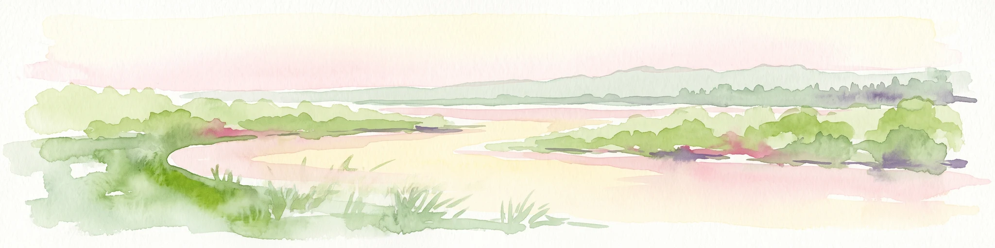
Watercolor painting of a lagoon surrounded by green vegetation and mountains in the background
National parkMiranda State
178 km away#8 closest

Southwest

Laguna de Tacarigua National Park: Protected Area and Miranda State Geography

Mapped natural landscape and park boundaries in Venezuela.

Laguna de Tacarigua National Park is a designated national park offering critical protected landscape features within Miranda State. This park provides essential context for understanding Venezuela's protected areas, with a focus on its mapped boundaries and regional geographic setting. Dive into the atlas-style details to comprehend its place in the natural landscape.

Area
391 km²
Established
1974
IUCN
II
Relief
Lowland
Watercolor painting showing a winding river flowing through a landscape with rolling hills in the background
National parkVenezuela
227 km away#9 closest

West

El Ávila National Park: Venezuela's Premier Coastal Mountain National Park Exploration

Discover diverse terrain, mapped boundaries, and unique geographic context.

El Ávila National Park offers an exceptional gateway into Venezuela's mountainous protected landscapes. This national park features a dramatic rise from the Caribbean coast into varied terrain, including unique cloud forest and alpine zones. Its mapped geography showcases steep slopes, deep ravines, and remarkable elevation changes, providing a significant atlas-style study of coastal mountain environments. Exploring El Ávila National Park reveals a vital natural barrier and a rich ecosystem supporting diverse flora and fauna, making it a key destination for understanding regional protected areas.

Area
819 km²
Established
1958
IUCN
II
Relief
Mountain
Natural monumentMiranda
About 234 km away#10 closest

West

Monumento natural Cueva Alfredo Jahn: Exploring Protected Limestone Caves in Miranda

Geology, karst topography, and cave system mapping

Monumento natural Cueva Alfredo Jahn serves as a primary geological research site and protected natural area in the Serranía Litoral. The cave system, shaped by perennial waterways, features significant calcite formations and mineral rarity. Examine the mapped extent, elevations, and landscape context of this central Venezuelan cave complex.

Area
0.58 km²
Established
1978
IUCN
III
Visitors
3.5K annual
National parkVenezuela
260 km away#11 closest

West

Archipiélago Los Roques National Park: Venezuela's Caribbean Marine Protected Landscape Explorer

Mapped coral reefs, protected islands, and Caribbean geography.

Archipiélago Los Roques National Park is a critical national park in Venezuela, safeguarding a remarkable archipelago in the Caribbean Sea. The park's landscape is defined by its vibrant coral reef systems, pristine white-sand beaches, and diverse marine habitats. Users can explore the geographic extent of this protected marine area, understanding its importance for conservation and its unique position within the southern Caribbean's natural geography.

IUCN
II
Climate
Tropical
Scope
Marine
Water
Water-dominated
National parkMiranda
About 263 km away#12 closest

West

Guatopo National Park: Venezuela's National Park Mapped Landscape Context

Discover Guatopo National Park's protected area geography.

Guatopo National Park represents a key protected natural landscape in Venezuela's Miranda region. This entry offers detailed geographic context, focusing on the park's mapped boundaries and its status as a national park. It is designed for users seeking structured information about protected areas, enabling a deeper understanding of natural landscapes and their regional distribution within an atlas framework. Explore the park's distinct protected-area identity and its place in the national geography.

Area
1,224.64 km²
Established
1958
IUCN
II
Relief
Mixed relief
National parkDiego Martin
About 264 km away#13 closest

East

Chaguaramas National Park in Diego Martin: Coastal Landscape and Protected Area Geography

Mapping the peninsular terrain and northern coastal boundaries of Trinidad

Chaguaramas National Park is defined by its strategic coastal position between the Caribbean Sea and the Gulf of Paria. As a significant protected area in the Diego Martin region, it features a blend of coastal flats and forested foothills that extend from the Northern Range. This overview examines the geographic layout, terrain features, and protected boundaries that define the identity of this unique Trinidadian landscape.

Established
1961
Scope
Terrestrial
Water
Major water bodies
National parkDelta Amacuro
283 km away#14 closest

Southeast

Parque nacional Mariusa: A Detailed Geographic Study of Orinoco Delta Wetlands

Mapped tidal channels and protected wetland geography

Located in Delta Amacuro, Parque nacional Mariusa represents a key protected area where the Orinoco River meets the Atlantic. Its geography is defined by a dynamic system of caños, seasonally flooded rainforests, and mangrove forests that support high ecological complexity. This atlas entry provides an overview of the park boundaries and the physical terrain that shapes this critical Venezuelan protected landscape.

Area
3,310 km²
Established
1991
IUCN
II
Water
Water-dominated
A horizontal watercolor illustration showing soft green rolling hills in the background, with lush green trees and a winding path in the foreground.
Nature reserveGrenada
About 288 km away#15 closest

Northeast

Mount St. Catherine Forest Reserve: Protected Volcanic Landscapes and Cloud Forest Geography

Highland terrain and watershed ecosystems in Grenada

Spanning 934 hectares across Grenada's central massif, Mount St. Catherine Forest Reserve protects the island's tallest peak and most vital watershed catchment zones. This area features a dramatic volcanic landscape characterized by steep ravines, thermal springs, and an altitudinal transition from mature rainforest to fragile elfin woodland at the summit.

Area
9.34 km²
Relief
Mountain
Climate
Tropical
Access
Moderate access
Natural monumentGuárico State
About 294 km away#16 closest

Southwest

Monumento natural Morros de Macaira: Mapping the Karst Geology of Guárico State

Limestone massifs, vertical cliff profiles, and protected cavern networks.

Monumento natural Morros de Macaira features a distinct landscape dominated by three limestone massifs. These formations, characterized by sheer vertical cliffs and carved cavern systems, provide a unique geological footprint within the broader plains of Guárico State. The area acts as a vital transition point, sheltering montane vegetation and complex karstic structures that define its role in regional environmental conservation.

Area
0.99 km²
Established
1978
Relief
Upland
Access
Access unknown
A wide watercolor illustration showing green islands and vegetation surrounded by pale water, with distant grey hills and a soft pink sky.
National parkDependencias Federales
About 295 km away#17 closest

West

Parque nacional Archipiélago de Los Roques: Caribbean Coral Atoll and Marine Protected Area

Mapping the reef architecture and maritime geography of the Dependencias Federales

Explore the expansive marine geography of Parque nacional Archipiélago de Los Roques, a massive protected coral atoll system. This unique environment features vibrant reef barriers, extensive seagrass meadows, and shallow turquoise lagoons that define one of the Caribbean's most significant conservation zones.

Area
2,112 km²
Established
1972
IUCN
II
Relief
Lowland
National parkSaint Patrick
About 297 km away#18 closest

Northeast

Levera National Park: Protected Wetlands, Coastal Lagoons, and Offshore Cays in Saint Patrick

Coastal geography and ecological landscape mapping

Levera National Park serves as a central protected area in Saint Patrick, defined by its rare combination of coastal lagoons, mangrove fringes, and dry bush woodland. This geography bridges inland habitats with a chain of offshore islets, providing a critical perspective on the island's coastal ecosystem and biodiversity patterns within the broader Caribbean region.

Area
5.18 km²
Relief
Lowland
Scope
Mixed
Water
Major water bodies
National parkVenezuela
317 km away#19 closest

West

Macarao National Park: Venezuela's National Park with Mapped Boundaries and Regional Atlas Context

Explore its protected landscape and geographic setting within South America.

Delve into Macarao National Park, a significant national park situated in Venezuela. This page offers an atlas-centric view of the park, detailing its mapped boundaries and highlighting its importance within the regional geography of northern South America. Understand how Macarao National Park contributes to the country's network of protected landscapes and provides foundational geographic context for explorers and researchers.

Area
150 km²
Established
1973
IUCN
II
Relief
Mountain
Nature reserveEstado Bolívar
325 km away#20 closest

Southeast

Reserva forestal de Imataca: Geographic Overview of a Major Venezuelan Nature Reserve

Mapping the Sierra de Imataca and regional forest ecosystems

Reserva forestal de Imataca serves as a key conservation zone, characterized by the Sierra de Imataca and a dense network of major rivers. This large-scale protected area provides an essential look at the tropical wilderness and upland forest terrain found within Estado Bolivar, mapping out a significant slice of the Venezuelan Guayana region.

Area
38,219 km²
Established
1961
Relief
Mountain
Climate
Tropical
Distance methodology

Geographic measurements, not driving distances

How nearby park distances are calculated

Distances use park boundaries whenever the available geometry allows it. When one or both boundaries are missing, the mapped park locations provide a clearly labelled estimate. Every value represents straight-line geographic separation and does not use roads or routing.

Boundary distance

Calculated between the nearest points of both park boundaries.

Location-to-boundary estimate

Estimated from one mapped park location to the nearest boundary of the other park.

Mapped-location estimate

Estimated between the mapped locations of both parks.

MoriAtlas Explorer

Continue exploring the protected geography of Laguna de La Restinga National Park

Delve deeper into the structured atlas information for Laguna de La Restinga National Park, uncovering the specifics of its unique mapped landscape and protected wetland ecosystem. Understanding this park's distinct geography and its role as a vital habitat offers valuable insight into Venezuela's conservation landscapes and coastal environments. Continue your geographic discovery by examining its mapped boundaries and ecological context.