Mori Atlas logo
Park earthquake history

A structured catalogue of registered geological events mapped by epicentre distance from the park boundary.

Historical Earthquake Records and Seismic Activity for Lake Nakuru National Park

Review documented earthquake events occurring within the proximity of Lake Nakuru National Park. This catalogue provides a chronological overview of seismic activity, detailing event magnitudes, recorded focal depths, and relative epicentre distances to support regional geographic research. The records presented here derive from historical geological data and offer a transparent look at recorded patterns within this specific section of the Great Rift Valley.

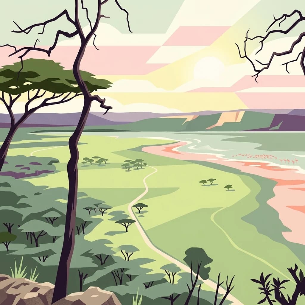
A stylized vector illustration of an African savanna with a lake in the distance, acacia trees in the foreground, and a path winding through the green plains under a soft pastel sky.

Rift Valley alkaline lake famous for spectacular flamingo colonies and protected rhino populations

Lake Nakuru National Park

Lake Nakuru National Park is a protected area in Kenya's Great Rift Valley, centered on a shallow alkaline lake approximately 164 kilometers north of Nairobi. Established in 1961, the park covers roughly 188 square kilometers and is renowned worldwide for its extraordinary concentrations of flamingos that mass along the lake's shores, creating a distinctive pink spectacle visible for kilometers. The park lies at an elevation of 1,754 meters above sea level and forms part of a unique hydrological system that includes neighboring Lake Elementaita and Lake Bogoria, together designated as a UNESCO World Heritage Site in 2011 as the Kenya Lake System of the Great Rift Valley. Beyond its famous avian populations, the park serves as a critical sanctuary for both black and white rhinos, with the enclosed rhino保护区 supporting significant populations of these endangered species alongside giraffes, buffaloes, waterbucks, and various predators including lions and leopards. The park also holds Ramsar Wetland status, recognizing its international importance as a vital habitat for migratory waterbirds and ecological diversity.

Location
Kenya
Park type
National park
Established
1961
Area
188 km²
Highest point
2,300 m
Explore Lake Nakuru National Park Geography

Search Lake Nakuru National Park records by depth and distance

Review recorded earthquakes near Lake Nakuru National Park

Lake Nakuru National Park’s earthquake view maps reported epicentres by calculated distance from its Kenyan Great Rift Valley boundary, separating the records from the alkaline lake, escarpments, flamingo habitat, and wildlife sanctuary. Dates, magnitudes, depths, localities, sources, and park distances support historical comparison without claiming ecological effects, current danger, or prediction.

Sort by
Magnitude
Location

This page describes catalogued earthquakes associated with the park by epicentre location and distance. It does not establish causation, assess current danger, or predict future earthquakes.

No earthquake records match the current filters

Park atlas

Move past Lake Nakuru National Park earthquake data

Discover other protected parks beyond Lake Nakuru National Park

After Lake Nakuru National Park’s earthquake section, discover protected destinations through their own atlas pages and geographic records. These routes broaden exploration beyond Kenya’s Rift Valley lake and flamingo habitat without comparing national-park status, freshwater ecology, geology, earthquake evidence, geographic distance, present hazard, risk, or documentation depth.
A digital illustration depicting a narrow canyon with tall, layered rock walls and a prominent tower formation in the center, surrounded by sparse green vegetation.
National parkNakuru County
About 53 km away#1 closest

Southeast

Hell's Gate National Park: National Park Atlas and Mapped Landscape Exploration

Discover Nakuru County's protected terrain and geographic context.

Explore the mapped boundaries and unique geographic identity of Hell's Gate National Park, a protected national park within Kenya's Nakuru County. This detailed atlas view focuses on the park's natural landscape and its place within the regional geography, offering structured discovery of its protected terrain and surrounding context. Understand the visual and geographic essence of this significant conservation area.

Area
68.25 km²
Established
1984
IUCN
II
Relief
Mountain
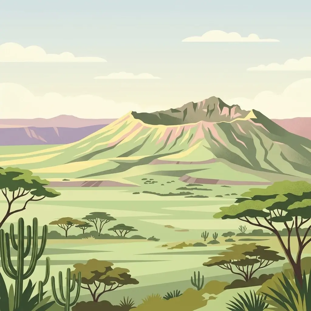
A stylized flat illustration of a dormant volcanic mountain with a large crater at its peak, set in a savanna landscape with acacia trees and cacti in the foreground.
National parkKenya
About 61 km away#2 closest

Southeast

Mount Longonot National Park: Kenya's Mapped Protected Landscape for Atlas Exploration

Discover the natural terrain and park boundaries.

Mount Longonot National Park serves as a vital protected area within Kenya, offering a focused lens for geographical exploration. This national park's defined landscape and mapped boundaries provide essential context for understanding its place in the broader regional geography. Ideal for users seeking detailed information on protected territories, Mount Longonot National Park offers insights into Kenya's natural heritage through an atlas-centric approach.

Scope
Terrestrial
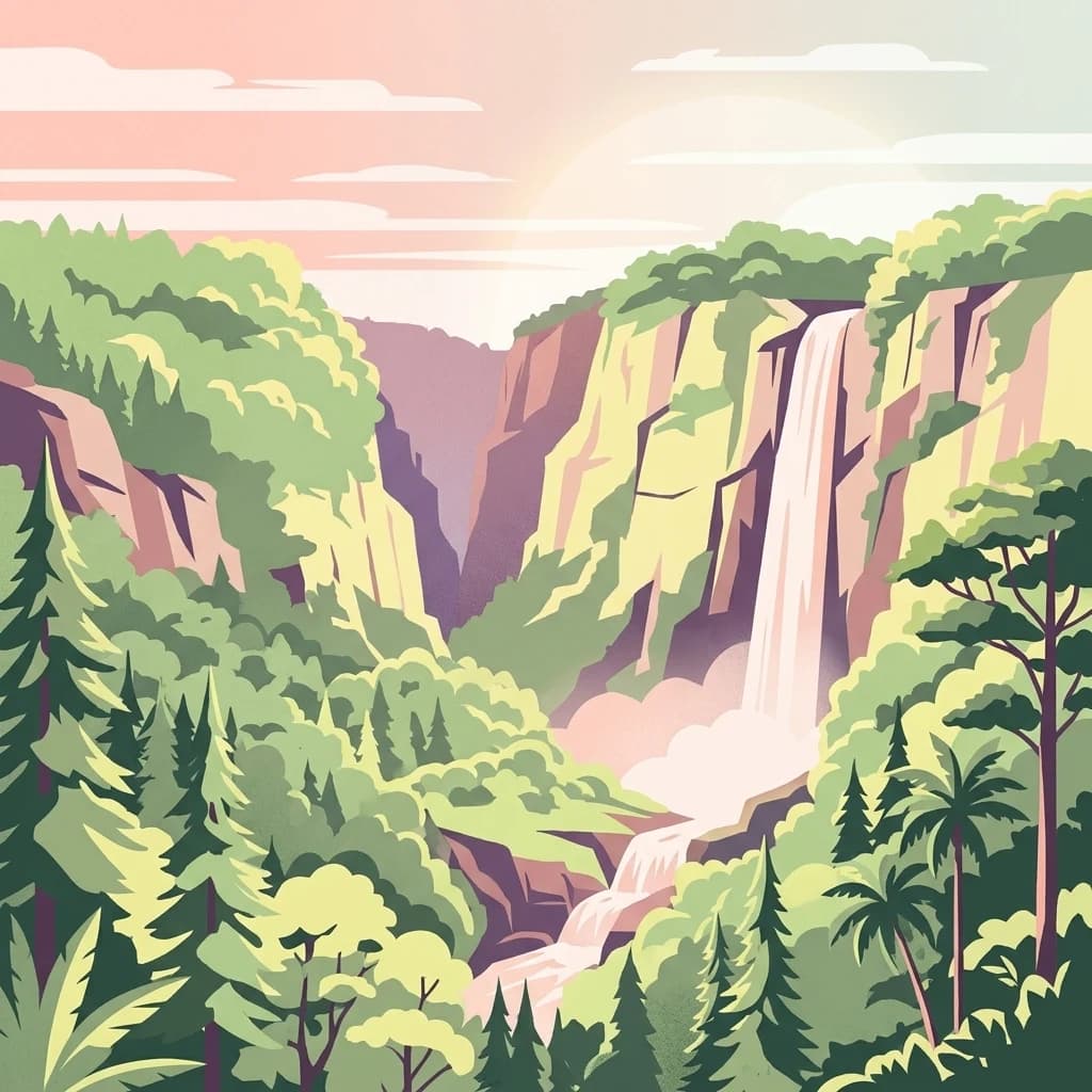
An illustrative style digital painting showing a waterfall plunging from high cliffs into a forested valley during sunrise or sunset.
National parkNyeri County
About 64 km away#3 closest

East

Aberdare National Park: Mapped Protected Landscape in Nyeri County

National Park Geography and Atlas Context

Aberdare National Park is a protected national park located within Nyeri County, Kenya. This entry offers detailed geographic information and map context, highlighting its protected boundaries and landscape characteristics. Users can explore its regional setting, understand its specific terrain features, and discover its significance as a conservation area within the Kenyan geography. Access structured data that clarifies the park's identity as a vital protected landscape.

Area
767 km²
Established
1950
IUCN
II
Relief
Mountain
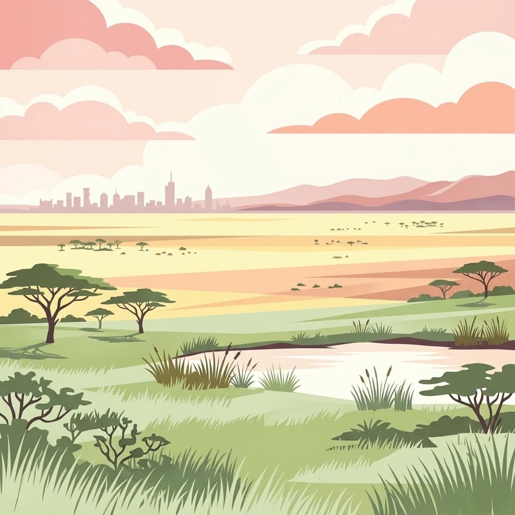
A stylized vector illustration of an African savanna with acacia trees and a small pond in the foreground, with the distant city skyline of Nairobi on the horizon under a pastel sunset sky.
National parkKenya
120 km away#4 closest

Southeast

Nairobi National Park

Explore the mapped boundaries and regional context of this Kenyan national park.

Nairobi National Park, in Kenya. Landscapes: grasslands, forests, and woodlands.

Area
117 km²
Established
1946
IUCN
II
Relief
Mixed relief
A digital illustration of a mountainous landscape with jagged peaks in the background, a central lake, and foreground vegetation including bamboo stalks and rosette-shaped alpine plants.
National parkKenya
About 135 km away#5 closest

East

Mount Kenya National Park

Kenya's high-altitude Afro-alpine ecosystems and mapped park boundaries.

Mount Kenya National Park, in Kenya. Landscapes: mountains, forests, and rivers.

Area
715 km²
Established
1949
IUCN
II
Relief
Mountain
National parkKenya
About 141 km away#6 closest

Southeast

Ol Donyo Sabuk National Park: Kenya's Prominent Highland Volcanic Protected Landscape

Mapped National Park boundaries and montane forest geography.

Ol Donyo Sabuk National Park represents a vital protected natural area situated in Kenya's central highlands. Its landscape is dominated by a striking volcanic peak, offering a unique montane forest environment and significant primate habitat. This entry provides essential details for atlas exploration, focusing on the park's geographic placement, its protected landscape features, and the ecological context it represents within Kenya's protected areas system.

IUCN
II
Relief
Mountain
Scope
Terrestrial
Water
Minor water
A flat-style digital illustration of an African savanna landscape with a dirt path winding through grassy plains, scattered acacia-like trees, and mesa-style hills under a pink and soft yellow sunrise.
National parkMara Region
161 km away#7 closest

Southwest

Serengeti National Park: National Park Atlas and Protected Landscape Discovery

Explore savanna grasslands, regional geography, and mapped park boundaries.

Serengeti National Park, a significant national park within Tanzania's Mara Region, offers an unparalleled view into a vast protected landscape. This page provides access to the park's geographic identity, its defining savanna ecosystem, and its role as a critical component of the regional atlas. Understand the mapped extent of its protected boundaries and the unique natural context that supports its renowned wildlife.

Area
14,763 km²
Established
1940
IUCN
II
Visitors
350K annual
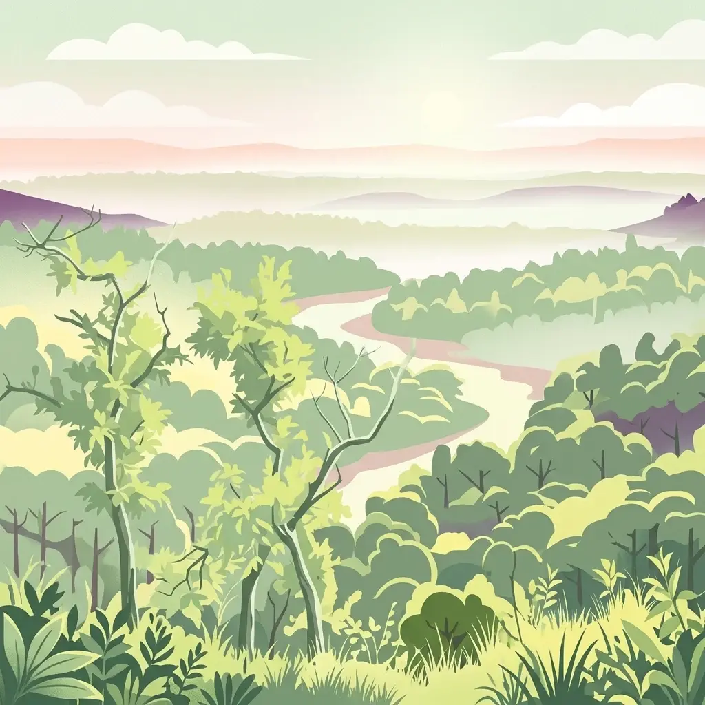
An illustration of a lush green forest with a winding river flowing through the center toward distant rolling hills under a soft pastel sky.
National parkTrans-Nzoia County
About 189 km away#8 closest

Northwest

Saiwa Swamp National Park National Park: Mapped Protected Area in Trans-Nzoia County

Explore the geographic context and protected landscape features.

Saiwa Swamp National Park serves as a vital national park within Trans-Nzoia County, Kenya, offering a unique perspective on protected lands. This page details its mapped geography and landscape characteristics, providing essential context for atlas-based exploration of its protected boundaries and regional setting. Understand the specific features that define this important conservation area.

Area
3 km²
Established
1974
IUCN
II
Relief
Lowland
MoriAtlas Explorer

Lake Nakuru National Park

Explore the map, landscapes, and protection details for Lake Nakuru National Park.