Mori Atlas logo
Nearby park discovery

Regional landscape context and geographic distribution of nearby protected lands

National Parks and Protected Areas Near Loch Lomond and The Trossachs National Park

Explore the geographic surroundings of Loch Lomond and The Trossachs National Park through a regional analysis of nearby protected areas. This collection highlights the diverse natural terrain and spatial patterns defining the Highland and Lowland transitions. Gain a broader understanding of the protected landscapes that share the regional geography of this iconic Scottish park.

Vector-style illustration of a waterfall flowing between mountains into a lake, with trees in the foreground.

Scotland's first national park: lochs, mountains, woodlands, and the Highland Boundary Fault in one landscape.

Loch Lomond and The Trossachs National Park

Loch Lomond and The Trossachs National Park is Scotland's first national park, established in 2002, and the most accessible of the country's protected landscapes, lying roughly 23 kilometres northwest of Glasgow. At its heart sits Loch Lomond, the largest freshwater lake in Great Britain by surface area, but the park extends far beyond the loch to include the mountains, glens, and forests of the Trossachs, reaching into both the Highlands and the Lowlands. The park's landscape is defined in part by geology: the Highland Boundary Fault runs through the area, and Loch Lomond itself straddles that line. To the north lies a deep, narrow, fjord-like basin carved from ancient schist; to the south the basin broadens across softer sandstone. This contrast between Highland and Lowland character is felt throughout the park, from the Munros of Ben Lomond and the surrounding peaks to the gentler farmed land and oak woodlands of the southern lowlands. The park is significant ecologically, culturally, and recreationally. It contains nationally important habitats including Atlantic oak woodland, Caledonian pine remnants, and freshwater Ramsar wetlands; it binds together crannog-dotted islands, prehistoric sites, and ancient clan territory; and it draws visitors for walking, boating, angling, and cycling. The famous song "The Bonnie Banks o' Loch Lomond" reflects how deeply the name resonates in Scottish identity.

Location
United Kingdom
Park type
National park
Established
2002
Area
71 km²
Highest point
974 m
Loch Lomond and The Trossachs National Park Atlas
Regional park map

See the ranked park cluster in its geographic setting

Nearby parks around Loch Lomond and The Trossachs National Park

This regional map shows the same 20 nearby parks ranked below around Loch Lomond and The Trossachs National Park. Select a ranked marker to highlight that park’s boundary where boundary data is available.
Reference park: Loch Lomond and The Trossachs National ParkRanked nearby park20 nearby parks shown
20 nearby parks

Explore surrounding regional park geography, distance ranking, and nearby protected landscapes

Parks and Protected Areas Geographically Near Loch Lomond and The Trossachs National Park

Examine a distance-ranked collection of protected areas situated geographically near Loch Lomond and The Trossachs National Park. Spatial measurements and recorded environmental attributes reveal surrounding regional landscape patterns for comparative atlas analysis.
Watercolor illustration showing mountains, green forests, a loch, and a river in a landscape
National parkScotland
Mapped location lies within the park boundary#1 closest

North

Loch Lomond and The Trossachs National Park: Mapped Landscapes and Terrain

Regional geography and protected Highland boundaries in Scotland

Loch Lomond and The Trossachs National Park covers a vast array of protected habitats, from coastal sea lochs to high-altitude Munros. This geographic profile outlines the park's position across the Highland Boundary Fault, highlighting its role as a core protected area for Caledonian forests and freshwater lake ecosystems within Scotland.

Area
1,865 km²
Established
2002
IUCN
V
Visitors
2.9M annual
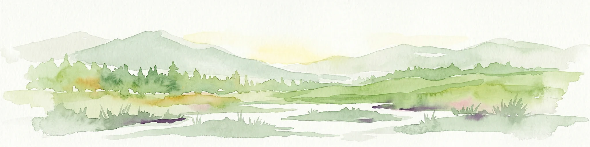
A soft, artistic watercolor painting of a Scottish sea loch surrounded by gentle, green hills against a faint mountainous background.
Marine protected areaArgyll and Bute
About 21 km away#2 closest

West

Loch Goil Marine Protected Area: Geography and Landscape Overview

Protected marine habitats in the Argyll and Bute region

Loch Goil offers a distinct look at an enclosed, sea loch landscape in western Scotland. Surrounded by the Arrochar Alps and steep conifer slopes, this marine protected area demonstrates the intersection of Highland wilderness and formal conservation zones. Use this atlas resource to understand its topographical form and regional context.

Established
2014
Relief
Mountain
Climate
Temperate
Access
Moderate access
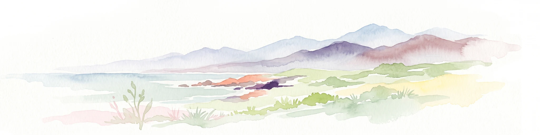
A soft watercolor illustration depicting green rolling hills and a body of water in a minimalist style.
Marine protected areaArgyll and Bute
About 45 km away#3 closest

West

Loch Fyne Marine Protected Area and Highland Coastal Geography

Mapped sea loch landscapes in Argyll and Bute

Loch Fyne represents a unique intersection of maritime tradition and protected natural terrain. This entry maps the loch as it winds through the Cowal Peninsula, highlighting the contrast between northern mountain hinterlands and southern coastal inlets. Users can examine the extent of its protected waters, the surrounding topography, and its historical significance within the geography of western Scotland.

Established
2014
Relief
Mixed relief
Climate
Temperate
Access
Easy access
Marine protected areaArgyll and Bute
About 67 km away#4 closest

West

Loch Sween Marine Protected Area: Coastal Geography and Regional Atlas Map

A distinctive sea loch ecosystem in Argyll and Bute.

Investigate the coastal topography and protected marine boundaries of Loch Sween. This sea loch is defined by its irregular branching inlets and islands, creating a unique habitat mosaic of maerl beds and burrowed mud within the broader context of the western Scottish coastline.

Area
41 km²
Established
2014
IUCN
IV
Access
Access unknown
Marine protected areaArgyll and Bute
About 68 km away#5 closest

Northwest

Loch Creran Marine Protected Area: Atlas and Coastal Geography of Argyll and Bute

Mapped tidal basins, flame shell reefs, and Atlantic oakwood habitats

Loch Creran is a primary example of integrated marine and coastal conservation on the west coast of Scotland. Characterized by its long, narrow form and dramatic bathymetry, the loch creates a rich environment where rapid tidal currents meet sheltered forest shorelines. This record provides a detailed look at the geographic structure, protected seabed zones, and the transition from sea loch to the ancient woodlands at the head of the inlet.

Area
12 km²
Established
2014
IUCN
IV
Relief
Lowland
A soft watercolor illustration featuring green rolling hills; pink foliage; and a calm bay under a pale sky.
Marine protected areaScotland
About 68 km away#6 closest

Southwest

Lamlash Marine Protected Area: Coastal Geography and Protected Waters in Scotland

Maritime terrain and conservation landscapes of the Firth of Clyde

Located along the eastern coast of the Isle of Arran, the Lamlash Marine Protected Area serves as a landmark for community-led conservation in Scotland. The site protects a vital marine ecosystem including maerl beds within a sheltered natural harbour, providing a distinct study of coastal boundaries and marine terrain facing Holy Isle across the Firth of Clyde.

Established
2008
Visitors
1.1K annual
Relief
Lowland
Climate
Temperate
Protected landscapeArgyll and Bute
About 71 km away#7 closest

West

Scarba, Lunga and the Garvellachs National Scenic Area: Protected Island Geography

Coastal landscapes and tidal seascapes of Argyll and Bute

Gain insight into the distinct protected landscape of the Scarba, Lunga and the Garvellachs National Scenic Area. This area balances mountainous moorland with green meadows, while its submerged marine reefs and fierce tidal waters contribute to a complex ecological and geographic identity within the Firth of Lorn.

Area
65 km²
Established
1981
Relief
Upland
Climate
Temperate
Marine protected areaScotland
About 73 km away#8 closest

Northwest

Loch Sunart to the Sound of Jura Marine Protected Area: A Scottish Marine Geography Guide

Charting habitat management and Quaternary seabed geology in the western Highlands.

This protected area reaches across the waters of Loch Sunart, the Sound of Mull, the Firth of Lorne, and the Sound of Jura. By mapping this diverse bathymetry, the area safeguards essential marine habitats and the rare common skate population within a complex network of Highland sounds and coastal basins.

Area
741 km²
Established
2014
IUCN
IV
Climate
Temperate
A horizontal watercolor painting showing a soft, impressionistic view of green hills, trees, and a lake, set against a light background.
Protected landscapePerth and Kinross
About 82 km away#9 closest

Northeast

Loch Tummel National Scenic Area: Geography and Mapped Protected Landscape Features

Highland landscape corridor in Perth and Kinross

Loch Tummel National Scenic Area encompasses a vital Highland corridor where freshwater lochs, river gorges, and managed woodlands intersect. This overview focuses on the physical geography of the Tummel valley, providing a detailed look at the protected land, elevation changes, and the hydro-electric history that shaped the current terrain of this scenic region.

Area
90.1 km²
Established
1981
Relief
Upland
Climate
Temperate
Watercolor painting depicting mountains, forested hills, and a river in a scenic landscape
National parkScotland
About 85 km away#10 closest

Northeast

Cairngorms National Park: Explore Scotland's Largest Protected Mountain Landscape

Mapped boundaries and arctic-alpine geography.

As the United Kingdom's largest national park, Cairngorms National Park in Scotland presents a vast expanse of distinctive arctic-alpine terrain and ancient Caledonian forests. This protected landscape offers a unique opportunity to explore mapped geographic features, from its extensive mountain plateaus to its vital river systems. Discover the contours and context of this significant natural area within the broader atlas of Scotland's protected lands.

Area
4,528 km²
Established
2003
IUCN
V
Visitors
1.9M annual
Protected landscapeScottish Borders
About 94 km away#11 closest

Southeast

Upper Tweeddale National Scenic Area: Geography and Protected Landscape Atlas Map

Regional landscape profile in the Scottish Borders

Upper Tweeddale National Scenic Area encompasses 12,770 hectares of refined southern Scottish countryside. This atlas entry provides an overview of the area landscape, defined by its narrow river valley, tributary glens, and the significant upland plateau of the Tweedsmuir Hills. Examine the geographic intersection of protected habitats, historic estates, and the winding course of the River Tweed.

Area
128 km²
Established
1981
Relief
Upland
Climate
Temperate
Protected areaPerth and Kinross
About 97 km away#12 closest

Northeast

Coupar Angus Protected Area: Geographic Boundaries and Regional Landscape Mapping

Located in the Perth and Kinross council area of Scotland

Coupar Angus is a key protected area providing essential insights into the geography and terrain of the Perth and Kinross council area. This detailed mapping overview captures the unique landscape features and boundary distributions characteristic of this Scottish region. Perfect for understanding the spatial configuration and natural setting of the site within its broader local government context.

Area
3.76 km²
Established
1976
Relief
Lowland
Climate
Temperate
Marine protected areaLochaber
About 101 km away#13 closest

Northwest

Loch Sunart Marine Protected Area: Coastal Geography and Highland Seascape Atlas

Deep-water marine basins and protected Highland coastal terrain.

Discover the mapped landscape of Loch Sunart, a 31-kilometre sea loch in the Lochaber region of Scotland. This marine protected area is characterized by its complex underwater bathymetry, ranging from shallow tidal channels to deep basins reaching 124 metres, providing a unique look into the intersection of terrestrial Highland mountains and essential underwater bivalve and reef communities.

Area
49 km²
Established
2014
IUCN
IV
Relief
Lowland
Protected landscapeHighland
About 107 km away#14 closest

Northwest

Morar, Moidart and Ardnamurchan National Scenic Area: Coastal Geography and Protected Lands

A mapped overview of peninsulas, lochs, and Highland terrain

Investigate the protected landscape of Morar, Moidart and Ardnamurchan. This area combines dramatic basalt cliffs, silver sands, and significant historical sites within a remote maritime setting. Gain clarity on the overlapping conservation zones and the complex geography that shapes this distinctive Scottish coastal region.

Area
369.6 km²
Established
1981
Relief
Mixed relief
Access
Moderate access
Watercolor painting of a coastal landscape with distant mountains, a rocky shoreline, and light foreground vegetation on a white background.
Protected landscapeHighland
About 144 km away#15 closest

Northwest

Small Isles Protected Landscape: Atlas of the Highland Inner Hebrides Archipelago

Mapped terrain, volcanic geology, and coastal protected areas.

Delve into the geography of the Small Isles, a protected landscape encompassing Rùm, Eigg, Canna, and Muck. This atlas entry provides a structured look at the volcanic peaks, maritime skerries, and diverse land-stewardship boundaries that define this remote Scottish archipelago.

Area
472.35 km²
Established
1981
Relief
Mountain
Climate
Temperate
Marine protected areaHighland
About 149 km away#16 closest

Northwest

Loch Alsh Nature Conservation Marine Protected Area: Geography and Protected Boundaries

A vital Highland marine landscape featuring rare underwater flame shell colonies.

Loch Alsh sits as a distinct marine boundary in the Northwest Highlands of Scotland. This protected area safeguards a vast seafloor ecosystem, most notably a massive flame shell colony that has transformed local understanding of marine biodiversity in the region. The loch landscape blends ancient metamorphic geology with the fjord-like waters separating Skye from the mainland, offering a unique perspective on protected coastal terrains.

Area
0.75 km²
Established
2014
Relief
Mountain
Climate
Temperate
Protected areaCounty Antrim
About 151 km away#17 closest

Southwest

Benbane Head Protected Area: Geographic Profile and Regional Landscape Mapping

Coastal terrain and protected boundaries in County Antrim

Examine the geographic characteristics of Benbane Head, a significant protected area located in County Antrim. This profile highlights the site's physical boundaries and its place within the regional landscape, providing essential mapping context for understanding Northern Ireland's diverse natural terrain and conservation geography.

Area
0.052 km²
Established
1953
Relief
Lowland
Climate
Temperate
Protected areaCounty Antrim
About 154 km away#18 closest

Southwest

Slieveanorra Forest Protected Area: Geography, Maps, and Upland Landscape Context

A comprehensive look at the Antrim forest and glacial landscape.

Slieveanorra Forest serves as a prominent protected area within the County Antrim uplands. Featuring expansive conifer woodlands, the site includes rugged terrain, reservoir edges, and scenic summit views. Understand the geological and environmental composition of this working forest landscape through its mapped boundaries and regional context.

Relief
Upland
Water
Minor water
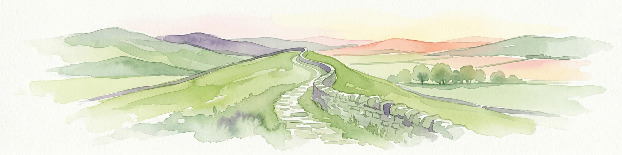
Watercolor illustration of Hadrian's Wall stretching across rolling green hills with distant mountains and trees under a sunset sky
National parkNorthumberland
About 154 km away#19 closest

Southeast

Northumberland National Park: England's Northernmost Protected Landscape and Dark Sky Wilderness

Explore its mapped boundaries, Roman heritage, and remote moorland terrain.

Northumberland National Park protects over 1,050 square kilometers of remote and stunning natural beauty in northern England, bordering Scotland. This page provides a structured overview of its protected landscape, focusing on its geographic context within the county of Northumberland, its designation as a National Park, and its renowned status as Europe's largest Dark Sky Park. Users can discover the park's characteristic moorland terrain, the archaeological significance of Hadrian's Wall, and the vast expanses of Kielder Forest, offering an atlas-level understanding of this unique frontier landscape.

Area
1,050 km²
Established
1956
IUCN
V
Relief
Highland
A soft, impressionistic watercolor painting of a Scottish loch surrounded by rolling green hills and distant mountain silhouettes.
Marine protected areaRoss and Cromarty
About 156 km away#20 closest

North

Loch Carron Marine Protected Area: Coastal Geography and Protected Seabed Landscape Atlas

Exploring the tidal basins and underwater terrain of Ross and Cromarty.

Loch Carron stands as a landmark marine protected area defined by its dramatic underwater depth changes and robust tidal currents. This protected sea loch features the world's largest flame shell colony nestled beneath the cliffs at Strome Castle. The surrounding Highland geography of Ross and Cromarty creates a compressed, mountain-framed landscape that influences the rich ecological character of this essential coastal habitat.

Area
23 km²
Established
2019
Relief
Lowland
Climate
Temperate
Distance methodology

Geographic measurements, not driving distances

How nearby park distances are calculated

Distances use park boundaries whenever the available geometry allows it. When one or both boundaries are missing, the mapped park locations provide a clearly labelled estimate. Every value represents straight-line geographic separation and does not use roads or routing.

Boundary distance

Calculated between the nearest points of both park boundaries.

Location-to-boundary estimate

Estimated from one mapped park location to the nearest boundary of the other park.

Mapped-location estimate

Estimated between the mapped locations of both parks.

MoriAtlas Explorer

Discover the Geographic Boundaries of Loch Lomond and The Trossachs National Park

Examine the detailed landscape and terrain characteristics of Scotland's first national park through the MoriAtlas platform. Analyze the intersection of freshwater ecosystems and rugged mountain corridors that define this vital protected region, providing a clearer understanding of its place in the Scottish landscape.