Peaks
Cerro Cuerno Blanco
2,480 m

A comprehensive analysis of park dimensions, elevation context, and natural features.
Location: Argentina. Recorded area: 7,269.27 km².
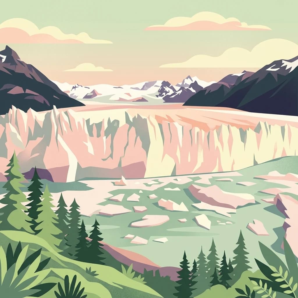
Patagonian glacial wilderness with dramatic ice fields and towering granite peaks
Los Glaciares National Park is a federal protected area in Santa Cruz Province, Argentina, representing the largest national park in the country. Established on May 11, 1937, the park encompasses a vast expanse of 726,927 hectares, roughly thirty percent of which is covered by ice. The park derives its name from the massive Patagonian ice cap in the Andes, the largest ice field outside Antarctica, Greenland, and Iceland, which feeds 47 large glaciers descending from elevations around 1,500 meters down to 200 meters above sea level. This extraordinary glacial system creates a dramatic landscape of ice fields, glaciers, and glacial lakes that defines one of the most spectacular wilderness areas in South America. In 1981, Los Glaciares was inscribed as a UNESCO World Heritage Site in recognition of its outstanding natural value and representativeness of Magellanic subpolar forest and Patagonian steppe ecosystems.
Administrative boundaries and national status in Argentina
Interactive boundary geometry and derived spatial measurements
Browse mountain terrain classifications and recorded geographical features
Peaks
2,480 m
Bays
Peaks
2,207 m
Mountain saddles
Lakes
Peaks
2,751 m
Temperate mountain relief, dominant water presence, and seasonal forest cover
Glacier · Mountains · Grassland · Forest · Lakes · Rivers
Boreal forest · Steppe · Glacial habitat
Map the Surrounding Patagonian Andes, Compare Protected Area Geography, and Trace Regional Conservation Landscapes
West

Chile's largest protected area: a map of vast ice caps and fjords.
Bernardo O'Higgins National Park, in Aysén del General Carlos Ibáñez del Campo Region, Chile.
South
Explore mapped protected landscapes and regional context.
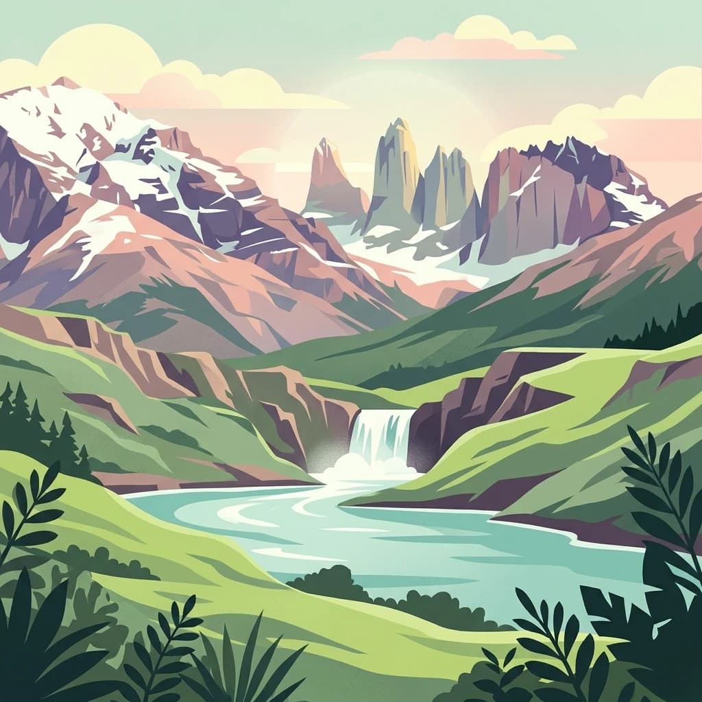
Torres del Paine National Park represents a distinct protected landscape within Chile's Magallanes Region, offering valuable insights for geographic discovery and atlas exploration. This national park's mapped boundaries and unique terrain contribute to a comprehensive understanding of its protected status and environmental context. MoriAtlas provides structured data to explore the park's geography, landscape features, and its role as a vital protected natural area for detailed study.

South
Explore the mapped geography and protected area boundaries.
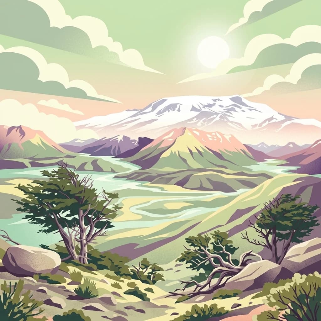
Kawésqar National Park is a key national park entity situated within the Magallanes and Chilean Antártica Region, contributing to the protected landscape of southern Chile. This atlas-focused profile details the park's geographic scope and its significance as a designated protected area. It serves as an entry point for understanding the mapped terrain and regional park context, crucial for structured geographic discovery.
North

Explore its mapped terrain and significant protected area geography.
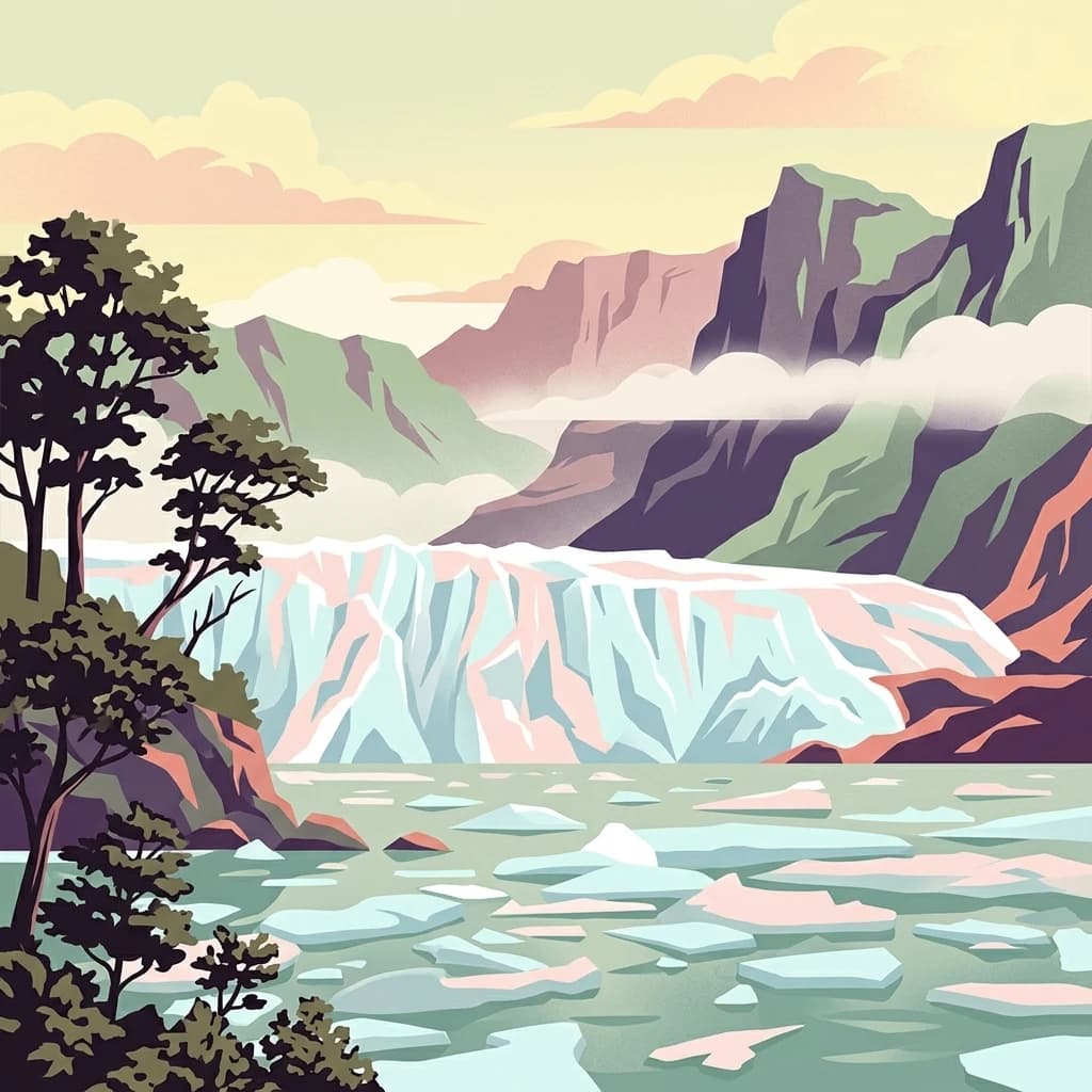
Perito Moreno National Park stands as a cornerstone of Argentinian conservation, safeguarding over 126,000 hectares of striking Patagonian mountain wilderness. This national park protects a rare ecological transition zone, blending wet Andean forests with dry steppe environments across its dramatic amphitheater-like terrain and dual-watershed hydrography. Its mapped boundaries encompass significant natural geography, offering a clear atlas view of protected Patagonian landscapes.
North
A National Park within Aysén del General Carlos Ibáñez del Campo Region.
Laguna San Rafael National Park stands as a key protected area within the vast geography of the Aysén del General Carlos Ibáñez del Campo Region. This entry provides an atlas-focused perspective, detailing the park's geographic significance, mapped natural landscapes, and its role as a vital conservation territory. Understand how this national park fits into the broader context of Patagonia's unique terrain and protected areas.
North
Mapped boundaries and natural terrain in Aysén Region.
Patagonia National Park, situated within the Aysén Region of Chile, serves as a significant protected area offering rich opportunities for atlas-based geographic exploration. This national park's specific landscape identity and mapped boundaries provide a clear focal point for understanding regional conservation and natural terrain. Discover the geographic context of this protected land and its place within the broader landscape of southern Chile through structured data and map exploration.

East
Explore its unique sandstone formations and rich marine geography.
Monte León National Park stands as a significant federal protected area along Argentina's Patagonian coast. Known for its dramatic sandstone cliffs, including the iconic Monte Cabeza de León, and extensive Magellanic penguin colonies, this park offers a unique glimpse into coastal ecosystems. Its designation as Argentina's first continental marine park highlights its importance for biodiversity and landscape conservation along the southern Argentine Sea shoreline, providing rich context for atlas exploration.
Northeast
Explore the mapped boundaries of this semi-arid grassland ecosystem.
Patagonia National Park is a protected national park in Argentina established to preserve the representative Patagonian steppe ecosystem. Covering 528.11 square kilometers, it offers a deep dive into the unique semi-arid grassland environment, known for its rolling plains and wind-shaped terrain. This park provides crucial context for understanding the broader geography of southern Argentina and the conservation of its distinctive natural landscapes.
Explore the map, landscapes, and protection details for Los Glaciares National Park.