National parkAlaotra-Mangoro
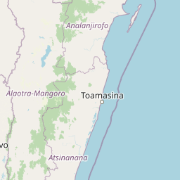
Mapped park locations coincide#1 closest

Andasibe-Mantadia National Park: National Park and Protected Landscape Identity
Explore its mapped boundaries and geographic context.
Andasibe-Mantadia National Park is a distinct protected territory within the Alaotra-Mangoro region, serving as a crucial focal point for understanding Madagascar's regional geography and protected land distribution. This detail page provides essential atlas-style information on the park's mapped area and its natural landscape characteristics. Engage with structured data that highlights the park's protected status and its position within the broader geographic framework of eastern Madagascar, supporting focused discovery for researchers and explorers.
- Area
- 155 km²
- Established
- 1989
- IUCN
- II
- Visitors
- 26.1K annual