Why Mariy Chodra National Park stands out
Mariy Chodra is best known for its extensive karst lakes, which are among the most popular natural recreation sites in the region and form the core of the park's identity. The combination of mixed coniferous-broadleaf forest, rolling upland terrain, and numerous clear-water lakes gives the park a distinctive inland character within the Volga basin. The park also stands out for protecting a representative slice of the Mari-Vyatka Ridge's natural environment, with mosaic forests of spruce, fir, pine, oak, lime, maple, and birch interspersed with river valleys, meadows, and small wetlands. Its combination of accessible lakes, forested hills, and cultural landmarks such as the Pugachev Oak adds layers of historical and natural interest on top of its ecological value.
Mariy Chodra National Park history and protected-area timeline
Mariy Chodra National Park was established on December 2, 1985, by a resolution of the Council of Ministers of the Mari ASSR, building on an earlier resolution of the Council of Ministers of the RSFSR that laid the groundwork for the creation of a state natural national park under the same name. The park was conceived as a dedicated instrument for protecting the forests, lakes, and rivers of southeastern Mari El, an area long valued for its natural resources and recreation potential.
In its early decades, the park invested not only in conservation but also in scientific and cultural research. From the 1990s onward, it funded archaeological investigations in the Yushut River estuary, including work at the Azelin Lushmorskiy burial ground and the Pyakan-culture Oshut'yaly III settlement. These studies revealed a cluster of archaeological sites within and around what is now the park territory, adding a historical dimension to the park's natural protection mission.
Over time, management priorities expanded from pure protection to include scientific monitoring, ecological education, environmental camps, and visitor infrastructure. A turning point came in 2011, when deteriorating ecological conditions around Lake Glukhoye and nearby sites led authorities to close access for a five-year period. The park continues to manage its protected zone strictly, while also balancing recreational use of lakes such as Yalchik, which has long served as a regional summer destination.
Mariy Chodra National Park landscape and geographic character
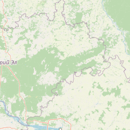
The landscape of Mariy Chodra is shaped by the southern extension of the Mari-Vyatka Ridge, which here breaks into a series of separate upland blocks. Klenovaya Gora, Katai-Gora, and Agytan-Kuryk rise above the surrounding terrain, creating a rolling, varied relief rather than a single continuous massif. Sandy soils dominate much of the surface, contributing to well-drained slopes and clearly incised river valleys.
The park's hydrology is central to its scenery. The Ilet River flows through the territory, joined by numerous tributaries including the Yushut, Petyalka, Uba, and Voncha, creating a dense dendritic drainage pattern. The best-known water features, however, are the lakes, almost all of them karst in origin: rounded basins sitting in depressions formed by the dissolution of underlying soluble rock. These lakes give the park its characteristically diverse mosaic of forest, meadow, valley, and still water.
Climate adds the finishing layer to the landscape. The temperate continental regime brings warm, often hot summers and cold, snowy winters, with annual precipitation totaling roughly 500 mm. The seasonal rhythm paints the forests green in summer, gold and red in autumn, and snow-covered in winter, while freezing and thawing cycles interact actively with karst processes in the lake basins.
Mariy Chodra National Park ecosystems, habitats, and plant life
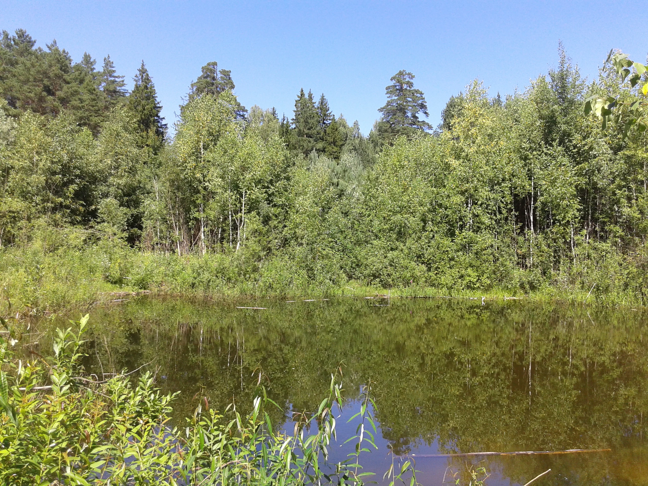
Mariy Chodra's natural character is overwhelmingly forested. The park protects representative coniferous-broadleaf woodlands of the eastern Russian Plain, a transitional type that blends northern taiga species with broadleaf temperate forest elements. On upland sites, oak-dominated communities grow alongside lime, maple, spruce, and fir, while valley and lowland forests absorb additional pine, aspen, elm, and birch into their species mix. Floodplain oak groves add a distinctly southern character to the river corridors.
Vegetation complexity extends beyond the canopy. Small lowland grass marshes punctuate the forest, while lakeshore and riverside habitats host wetland vegetation not represented in the surrounding dry forest stands. Roughly fifty plant species found here are considered rare within the flora of Mari El, including species tied to old-growth forest conditions and specific microhabitats along the karst lakes and rivers.
The mosaic of habitats is what gives the park its ecological depth. Forests, river valleys, meadows, mires, and lake basins each support different communities, and the proximity of calcareous and sandy substrates, plus karst hydrology, creates microhabitat variation across relatively short distances. This combination makes the park a useful reference site for understanding how mixed forests and freshwater systems coexist in the southern part of the Mari-Vyatka Ridge.
Mariy Chodra National Park wildlife and species highlights
The forests and lakes of Mariy Chodra support the animal communities typical of mature mixed woodland in the Volga region. Among typical mammals are moose, red squirrel, Siberian chipmunk, European hare, weasel, ermine, forest polecat, and pine marten. Beaver, reintroduced to the area, inhabits the riverine habitat, while otter is found along the watercourses. Larger carnivores such as brown bear and wolf also occur in the park's more remote forest tracts.
Birdlife reflects the park's mix of forest, wetland, and open water. Grouse-family birds nest in the woodlands, including black grouse, capercaillie, and hazel grouse. Raptors include common buzzard, northern goshawk, and black kite, with golden eagle recorded as a rare visitor. Along the lakes, waterfowl such as mallard and Eurasian teal nest in the shoreline vegetation.
The combination of forest mammals, breeding grouse, a presence of large carnivores, and a healthy lake-based waterfowl community makes Mariy Chodra representative of the wildlife character of southeastern Mari El. The park also serves as a living laboratory for ongoing faunal inventories and seasonal monitoring carried out by its staff and partner researchers.
Mariy Chodra National Park conservation status and protection priorities
Mariy Chodra was established specifically to safeguard a representative sample of southeastern Mari El's natural environment, and its conservation role centers on protecting coniferous-broadleaf forest, river systems, and karst lake landscapes under growing regional pressure. Classified as an IUCN Category II national park, it combines strict protection in its reserve zone with managed recreation elsewhere, a dual mandate that shapes its modern management approach.
A key conservation priority is the health of the lakes. The karst basins of Yalchik, Glukhoye, Kichier, and others have long attracted visitors, and uncontrolled recreation has caused visible damage in sensitive places. From 2011, access to Lake Glukhoye was closed for a five-year period after studies detected heavy metals in fish muscle tissue and observed severe bank erosion linked to trampling and loss of shoreline vegetation. Active restoration efforts, including revegetation of banks and lake-bottom cleanup, have been undertaken, with forestry staff also monitoring visitation at Lakes Kuzh-Yer and Yergez-Yer outside the formal reserve zone.
A strict nature protection (zapovednaya) zone in the northeastern part of the park, including Lake Shut-Yer and parts of the Uba River, restricts all entry and vehicle access in order to preserve its most sensitive habitats. Beyond direct protection, the park contributes to regional biodiversity knowledge through long-term ecological monitoring, university-led expeditions, and flora inventories that have documented around fifty rare plant species for the republic's flora.
Mariy Chodra National Park cultural meaning and human context
The park's name itself is a cultural artifact: in the Meadow Mari language, "Mariy Chodra" means "Mari Forest," reflecting the deep connection between the indigenous Mari people and the woodlands that surround them. The Meadow Mari form of the name, Mariy Chodyra, ties the protected area to the linguistic and cultural heritage of the region and signals the forest's role as a foundational element of Mari identity.
Within the park, cultural memory is anchored in both natural and built landmarks. The Pugachev Oak at Klenovaya Gora links the landscape to the era of the Pugachev rebellion in the 18th century, while the Zelyony Klyuch spring and other named sites serve as local gathering points. Archaeological work in the 1990s, funded by the park, brought to light the Lushmorskiy burial ground of the Azelin culture and the Pyakan-culture Oshut'yaly III settlement, adding deep-time human layers to a landscape primarily valued today for its nature.
Recreation itself is part of the cultural fabric. Lakeside resorts, children's camps, and health complexes around Yalchik and Kichier have long served as seasonal gathering places for residents of Mari El, Tatarstan, Chuvashia, and beyond, weaving the park into the broader Volga region's tradition of outdoor summer life at the lake.
Top sights and standout views in Mariy Chodra National Park
Mariy Chodra's strongest point of distinction is its concentration of karst lakes within a forested, hilly setting, an unusual combination in the region. Lakes such as Yalchik, Kichier, Glukhoye, Mushan-Yer, Konan-Yer, and Tot-Yer each have their own character, from busy resort lakes to quiet, strictly protected basins, giving the park a layered recreation and conservation profile.
Equally notable is its forest identity. The mixed coniferous-broadleaf woodlands on the Mari-Vyatka Ridge, with their rare plant species, classical taiga-meets-temperate composition, and intact valley-oak groves, form a scientifically important and visually varied backdrop. The park's strict reserve zone, archaeological heritage, and ongoing research and education programs add depth, making it a place where ecology, history, and regional culture intersect in one protected landscape.
Best time to visit Mariy Chodra National Park
Mariy Chodra's temperate continental climate gives it a strongly seasonal character, and the summer months are when the park's lakes and forests come fully alive. Warm weather draws visitors to Yalchik and the other accessible lakes, where shoreline vegetation is at its peak and recreational facilities are in full use. This is also the most active period for birdlife along the lake margins and rivers.
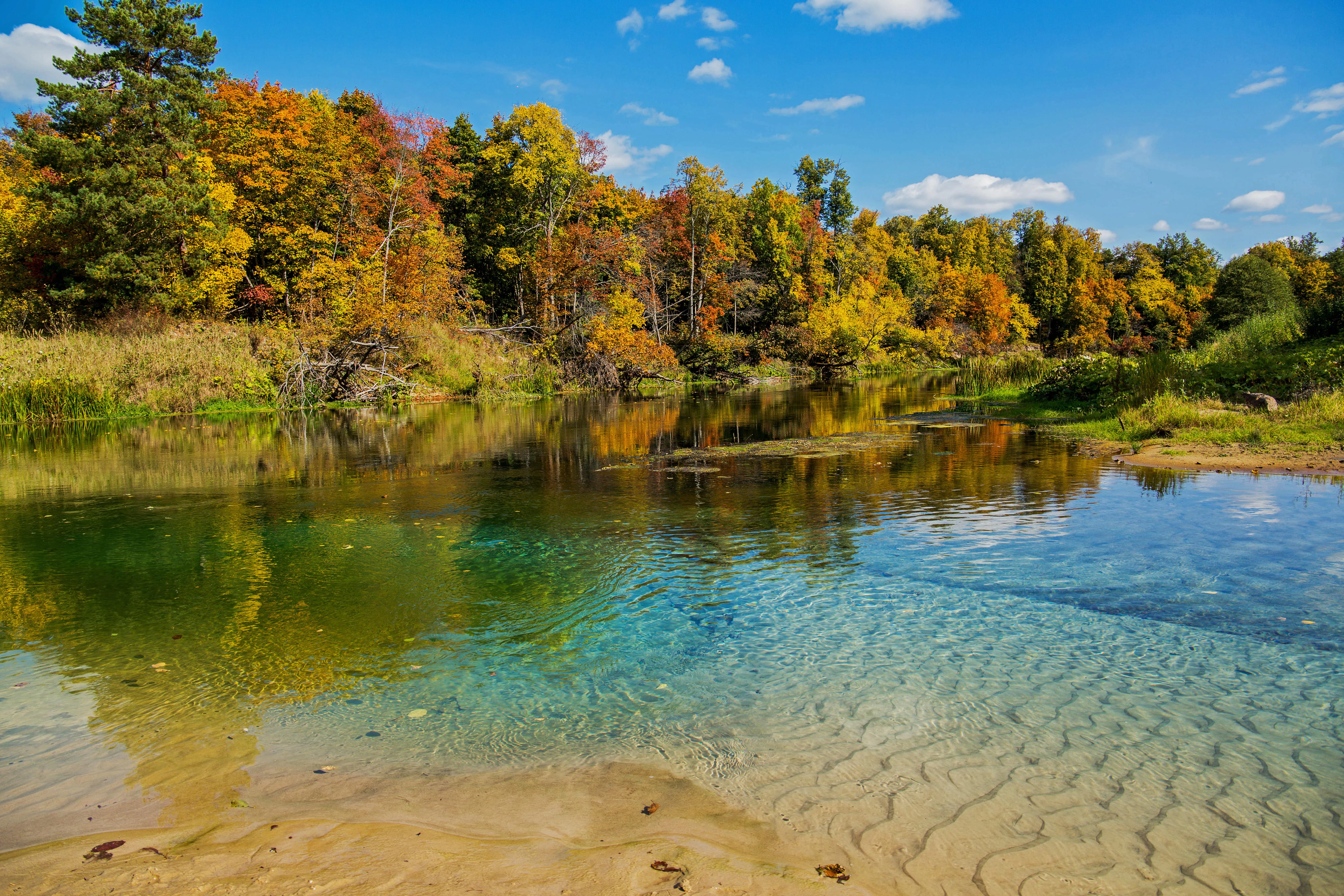
Autumn transforms the mixed forests into vivid displays of color, as broadleaf species such as oak, lime, maple, and birch turn alongside the conifers, and cooler weather makes hiking and wildlife observation especially rewarding. Winter brings cold temperatures and snow, with frozen lake surfaces and quiet forest tracks shaping a very different, more introspective visitor experience. Spring is a transitional period of thaw, rising water levels, and the gradual return of migrant birds and active mammals.
Because the park's reserve zone and some sensitive lakes are closed to visitors in certain periods, the practical shape of a visit may vary by season. The general character of the park, however, shifts meaningfully across the year, from lake-centered summer recreation, through colorful autumn forests, to a quieter snowy winter landscape.