
Mori Atlas logo
Nearby park discovery

Map-based regional analysis of protected land distribution near this Czech natural monument

Protected Areas and Natural Landscapes Surrounding Martinské stěny in Liberec Region

Examine the geographic distribution and spatial relationships of protected areas in the vicinity of Martinské stěny. This regional analysis provides an atlas-focused perspective on the sandstone rock landscape of northern Bohemia, allowing for a structured comparison of nearby protected sites within the Liberec Region and surrounding territories.

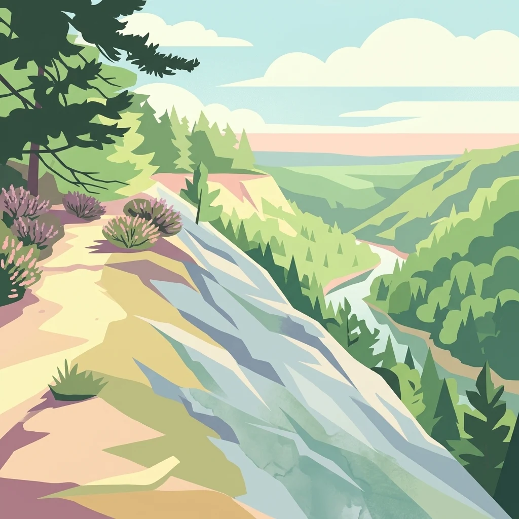
A stylized vector illustration of a high rocky cliff edge overlooking a forested river valley, with a path in the foreground lined with small bushes and a coniferous tree.

A compact sandstone cliff sanctuary in the northern Kokořínsko protected landscape.

Martinské stěny

Martinské stěny is a small Czech natural monument in the northern part of the Kokořínsko – Máchův kraj Protected Landscape Area. Established in 2002, the site protects a roughly 300-metre-long stretch of steep sandstone cliff within the forested Ralská pahorkatina (Ralsko Upland), south of the villages of Stvolínky and Holany. The protected area covers about 3.19 hectares of land at elevations between 390 and 420 meters above sea level, and forms part of the broader Roverské skály European significant locality, a network of forest and sandstone-rock protected sites typical of this part of northern Bohemia. The monument is valued both for its geomorphological character, as a striking example of quartz sandstone cliff formation from the Middle Turonian of the Bohemian Cretaceous Basin, and for its specialised fauna. Protection targets several invertebrate species tied to heath and lichen microhabitats on the rocks, including heathland wolf spiders and trapdoor spiders, alongside the cliff face itself with its small karren features. The cliffs lie near the village of Dřevčice, within the administrative area of Dubá, and are easily reached on foot via marked hiking trails that follow the upper edge of the rock wall. Together with neighbouring protected sites such as Vlhošť, Husa, Kostelecké bory, and Stříbrný vrch, Martinské stěny contributes to a tightly clustered network of small protected areas that preserve the sandstone-rock landscape of northern Kokořínsko.

Location
Czechia
Park type
Natural monument
Established
2002
Area
0 km²
Highest point
420 m
Martinské stěny Natural Monument Map
Regional park map

See the ranked park cluster in its geographic setting

Nearby parks around Martinské stěny

This regional map shows the same 20 nearby parks ranked below around Martinské stěny. Select a ranked marker to highlight that park’s boundary where boundary data is available.
Reference park: Martinské stěnyRanked nearby park20 nearby parks shown
20 nearby parks

Analyze geographic separation and surrounding regional environments relative to Martinské stěny

Parks and protected areas geographically near Martinské stěny in regional park context

Examine a ranked collection of protected areas situated near Martinské stěny based on direct geographic proximity and measured spatial separation. Compare surrounding landscape attributes and regional terrain data to understand the broader conservation context across northern Bohemia.
A watercolor illustration of rolling hills and a green landscape with a soft, abstract style.
Nature reserveLiberec Region
About 6.1 km away#1 closest

Northwest

Ronov Nature Reserve: Protected Volcanic Geography and Scree Forest Ecosystems in Liberec Region

Volcanic landmark with basalt talus slopes and historic ruins

Ronov rises as a distinctively shaped basalt cone from the rolling terrain of the northern Czech Republic. This nature reserve offers significant insight into the geological and botanical character of the Ralská pahorkatina, featuring extensive stone seas and rare plant habitats situated around ancient castle remains.

Area
0.09 km²
Established
1995
IUCN
IV
Relief
Mountain
Natural monumentÚstecký kraj
About 10 km away#2 closest

Southwest

V kuksu Natural Monument: Mapping Protected Ravine Landscapes in Ústecký kraj

A vital orchid-rich habitat and Natura 2000 conservation area

V kuksu protects a specialized woodland ravine habitat characterized by stable humidity and shaded slopes. This natural monument serves as an important regional site for the lady's slipper orchid, contributing to biodiversity within the Litoměřice district through its status as a protected area of European importance.

Area
0.21 km²
Established
2011
IUCN
IV
Relief
Upland
A horizontal watercolor painting of a serene pond surrounded by marshy vegetation and small clusters of trees under a soft, light-filled sky.
Nature reserveLiberec Region
About 15 km away#3 closest

North

Manušické rybníky Nature Reserve and Protected Wetland Landscape in Liberec Region

Historic fishpond mosaic and critical amphibian refuge

Manušické rybníky is a well-documented nature monument in the Czech Republic featuring a chain of seven fishponds established in 1575. The site preserves vital lowland peatland fragments and pine-oak woodlands, serving as a significant ecological node for wetland flora and amphibians within the broader landscape of the Liberec Region.

Area
0.143 km²
Established
2012
IUCN
IV
Relief
Upland
A watercolor illustration depicting a soft, panoramic landscape of gentle, rolling green hills, scattered trees, and grassland areas with a muted color palette.
Nature reserveStředočeský kraj
About 17 km away#4 closest

South

Na oboře Nature Reserve in Středočeský kraj: A Detailed Geographic Atlas Overview

Protected loess slopes and rare steppe ecosystems.

Na oboře comprises a series of south-facing slopes in the Středočeský kraj region, serving as a sanctuary for heat-loving flora and critically endangered insect species. The reserve features a rare geological intersection of wind-deposited loess and sandstone bedrock, forming a warm, mineral-rich landscape that remains a vital, mapped study area for steppe-like grassland conservation in the Czech Republic.

Area
0.034 km²
Established
2001
IUCN
IV
Relief
Upland
A watercolor painting showing a winding river through a green landscape with soft hills in the distance and tall grasses in the foreground.
Natural monumentLiberec Region
About 19 km away#5 closest

East

Meandry Ploučnice u Mimoně: Mapping the Protected River Landscapes of the Liberec Region

Unregulated Bohemian river meanders and wetland habitats

Spanning 49 hectares in the Liberec Region, Meandry Ploučnice u Mimoně preserves a naturally shifting river corridor. The monument protects complex meander lakes and active floodplain dynamics, providing a sanctuary for rare dragonfly, butterfly, and mammal populations within an otherwise developed lowland environment.

Area
0.494 km²
Established
2014
IUCN
IV
Relief
Lowland
Natural monumentStředočeský kraj
About 21 km away#6 closest

South

Vehlovické opuky Natural Monument: Geological Mapping and Historical Mining Context

Protected paleontological and mining heritage in the Czech Republic

Vehlovické opuky stands as a compact but rich natural monument in the Středočeský kraj region. This protected area showcases the geological legacy of the Bohemian Cretaceous Basin, preserving fossilized remains within yellowish opuka beds and demonstrating historical underground extraction techniques that now support local bat populations.

Area
0.009 km²
Established
2002
IUCN
III
Relief
Lowland
Natural monumentLiberec Region
About 22 km away#7 closest

Northeast

Vranovské skály Natural Monument: Protected Sandstone Towers in the Liberec Region

Geographic analysis of sandstone pillars and protected upland forest terrain.

Vranovské skály stands as a significant natural monument in the Liberec Region, preserving a cluster of bright sandstone towers that contrast with the dark forests of the Ralská pahorkatina. This protected area includes several named formations and botanical niches shaped by historical land use. Its geography offers a clear example of sandstone geomorphology and its role in maintaining regional biodiversity within the broader context of northern Bohemia.

Area
0.129 km²
Established
1991
IUCN
IV
Relief
Upland
Natural monumentÚstecký kraj
About 26 km away#8 closest

North

Sojčí rokle Natural Monument: Atlas and Geography of the Ústecký kraj Sandstone Gorge

A protected ravine sanctuary within the Bohemian Switzerland landscape region.

The Sojčí rokle natural monument features a deep, moist sandstone gorge that sustains a specialized microclimate. Located near Janská in the Ústecký kraj, the site serves as a vital ecological corridor with unique oak-hornbeam forests and rare plant life, representing the intricate rock-carved geography that defines the wider protected landscape of northern Bohemia.

Area
0.035 km²
Established
2016
IUCN
IV
Relief
Upland
Natural monumentCentral Bohemian Region
About 26 km away#9 closest

East

Velký Radechov Natural Monument: Geography and Protected Habitat Mapping

Neovolcanic upland terrain within the Central Bohemian Region

Explore the mapped boundaries and natural features of Velký Radechov. This protected site in the Central Bohemian Region serves as an ecological mosaic, showcasing how neovolcanic hill slopes and formerly managed habitats provide refuge for a wide range of flora and fauna in the Czech landscape.

Area
0.22 km²
Established
1999
IUCN
IV
Relief
Upland
A soft watercolor illustration of rolling green hills with distant mountain peaks under a light sky.
Natural monumentÚstecký kraj
About 27 km away#10 closest

West

Radobýl Natural Monument: Basalt Formations and Volcanic Geography in Ústecký kraj

A protected volcanic landmark with steppe ecosystems and ridge views.

Radobýl stands as a distinctive volcanic remnant in the Ústecký kraj, featuring profound columnar basalt jointing and frost-weathered cliffs. This protected natural monument shelters rare dry grassland habitats and rocky terrain, while offering expansive views across the Litoměřice basin and the surrounding Bohemian landscape.

Area
0.063 km²
Established
1966
IUCN
IV
Relief
Mountain
Watercolor illustration of rolling green hills, forests, and distant mountains
National parkCzechia
About 27 km away#11 closest

Northwest

Bohemian Switzerland National Park: Czech Sandstone Protected Landscape and Map Exploration

Discover its unique terrain and protected area geography.

Bohemian Switzerland National Park is a protected area in the Czech Republic known for its exceptional sandstone geology. This national park showcases a dramatic landscape of towering rock formations, deep gorges, and striking canyons, forming a significant part of the Elbe Sandstone Mountains. Through MoriAtlas, users can explore its mapped protected boundaries, understand its regional geographic context, and appreciate its unique natural heritage.

Area
79 km²
Established
2000
IUCN
II
Relief
Mixed relief
Natural monumentStředočeský kraj
About 29 km away#12 closest

East

Valcha Natural Monument: Mapping Protected Wetland Ecosystems in Středočeský Kraj

A rare mosaic of forest ponds and mire habitats

Situated in the Středočeský kraj region, Valcha Natural Monument protects a distinctive silting pond and marshland ecosystem. This site demonstrates the ecological significance of small, hydrologically active ravine landscapes nestled within the broader Jizerská tabule plateau terrain, providing critical refuge for rare wetland species.

Area
0.024 km²
Established
2013
IUCN
III
Relief
Lowland
A watercolor landscape illustration showing a winding river flowing through a lush green valley with distant hills.
Natural monumentÚstecký kraj
About 30 km away#13 closest

North

Meandry Chřibské Kamenice: Geography of a Bohemian Natural Monument

Protected river meanders and sandstone valley terrain in northern Bohemia

Meandry Chřibské Kamenice serves as a vital protected area in the Czech Republic, specifically preserving the natural river dynamics of the Chřibská Kamenice stream. Its narrow floodplain, characterized by evolving meanders, riparian woodland, and marshy habitats, offers a focused look at how watercourses shape the sandstone landscapes of the Ústecký kraj region.

Area
0.085 km²
Established
1996
IUCN
III
Relief
Lowland
Natural monumentLitoměřice District
About 30 km away#14 closest

Southwest

Vrbka Natural Monument: Exploring Protected Limestone Habitats and Bohemian Lowland Geography

A rare botanical reserve in the Litoměřice District of the Czech Republic

Vrbka Natural Monument protects a significant 15.5-hectare expanse of warm limestone slopes and dry meadows. This geographic landmark serves as an essential repository for rare orchid species and diverse insect populations, functioning as a representative habitat patch within the intensively cultivated landscapes of the surrounding region.

Area
0.155 km²
Established
2013
IUCN
IV
Relief
Upland
A horizontal watercolor painting depicting a soft-focus landscape with light green trees and low rolling hills under a pale, warm-toned sky.
Protected landscapeLitoměřice District
About 32 km away#15 closest

Southwest

Dolní Poohří Nature Park: Protected Landscape and River Geography

A riparian corridor through the Litoměřice District

The landscape of Dolní Poohří Nature Park follows the irregular arc of the lower Ohře River across the Bohemian plain. Its narrow boundaries protect a functional floodplain ecosystem characterized by silted oxbows, gravel banks, and rare forest fragments. This atlas entry details the geographic features, protected status, and the interplay between the active river channel and the historic townscapes found along its banks.

Area
40 km²
Established
2001
Relief
Lowland
Climate
Temperate
A horizontal watercolor illustration depicting a soft, rolling landscape with green hills, a small winding stream, and meadow vegetation on a white background.
Natural monumentÚstecký kraj
About 33 km away#16 closest

Southwest

Na Dlouhé stráni Natural Monument: Regional Protected Area and Botanical Landscape

A conservation-focused look at the Mšenský potok valley slope

Na Dlouhé stráni is a designated natural monument in the Czech Republic, renowned for its concentration of thermophilous grassland flora. This protected area, located near Mšené-lázně, preserves a specific slope habitat that supports declining plant species. The site offers an important look at regional conservation efforts and the mapping of small-scale protected habitats within the diverse Ústecký kraj geography.

Area
0.126 km²
Established
2012
IUCN
IV
Relief
Lowland
Natural monumentStředočeský kraj
About 33 km away#17 closest

South

Veltrusy Natural Monument: Protected Woodland and Historic Park Geography in Středočeský kraj

English-style designed landscapes and floodplain ecological habitats.

Veltrusy Natural Monument is a protected area located on the right bank of the Vltava River, defined by its horseshoe-shaped layout and mosaic of oak-beech woodlands. The site represents a rare intersection of cultural heritage and nature conservation, preserving veteran trees that support significant invertebrate populations. Its geography consists of gently undulating floodplain terrain shaped by the Mlýnský potok, historic avenues, and managed meadows.

Area
2.555 km²
Established
2013
IUCN
III
Relief
Lowland
A soft, pastel-colored watercolor painting depicting a gentle landscape with a small pond in the foreground, grassy meadows, and distant rolling hills under a pale sky.
Natural monumentCentral Bohemia Region
About 33 km away#18 closest

South

Slaná louka u Újezdce: Protected Natural Monument and Regional Landscape Geography

A rare Natura 2000 lowland grassland in the Central Bohemia Region

Slaná louka u Újezdce preserves a compact lowland landscape defined by saline influences and calcareous soil substrates. This natural monument serves as an important ecological island, maintaining the steppe-like vegetation and halophytic flora that mark this specific Czech locality as a priority for habitat protection.

Area
0.014 km²
Established
2013
IUCN
III
Relief
Lowland
A soft watercolor illustration depicting a riverbank with light green trees and a prominent rocky outcrop or cliff face near the water.
Natural monumentCentral Bohemian Region
About 35 km away#19 closest

East

Skalní sruby Jizery Natural Monument: Sandstone Landforms and River Geography

Protected riparian sandstone terrain in the Central Bohemian Region

This natural monument protects a rare geological formation along the Jizera River, where lateral erosion has created an extensive sandstone rock shelter. The site showcases advanced pseudokarst weathering and supports a dense concentration of botanical and avian diversity within its two-hectare boundary in the Central Bohemian Region.

Area
0.02 km²
Established
1979
IUCN
III
Relief
Upland
Watercolor painting showing a landscape with green hills, trees, and a river winding through the scene
National parkGermany
About 36 km away#20 closest

North

Saxon Switzerland National Park: Protected Area Geography and Map Exploration

Discover its mapped boundaries and regional landscape context.

Saxon Switzerland National Park, a protected national park in Germany, offers a distinct focus for geographic and atlas-based discovery. This page details the park's specific protected landscape, its mapped boundaries, and its contribution to the regional geography. MoriAtlas allows for in-depth exploration of such natural areas, providing essential context for understanding their place within broader natural systems and mapped terrains.

Area
93.5 km²
Established
1990
IUCN
II
Visitors
1.7M annual
Distance methodology

Geographic measurements, not driving distances

How nearby park distances are calculated

Distances use park boundaries whenever the available geometry allows it. When one or both boundaries are missing, the mapped park locations provide a clearly labelled estimate. Every value represents straight-line geographic separation and does not use roads or routing.

Boundary distance

Calculated between the nearest points of both park boundaries.

Location-to-boundary estimate

Estimated from one mapped park location to the nearest boundary of the other park.

Mapped-location estimate

Estimated between the mapped locations of both parks.

MoriAtlas Explorer

Explore the Geological Features and Boundaries of Martinské stěny

Gain insights into the sandstone formations and protected status of Martinské stěny through the MoriAtlas map and geographic database. Trace the cliff geography and regional context of this notable Czech natural monument to understand its role within the wider Kokořínsko landscape.