Mori Atlas logo
Park earthquake history

Review recorded earthquake data including magnitudes, event depths, and epicentre proximity

Historical Catalogue of Seismic Events Associated with Médanos de Coro National Park

Access a structured historical database of seismic events associated by location with Médanos de Coro National Park. This catalogue provides transparent access to recorded earthquake data including event dates, magnitude measurements, and depth profiles for proximity analysis. Use these records to understand the documented seismic history of the region and examine how specific events correlate with the unique geography of the Médanos Isthmus and surrounding coastal terrain.

Related tags

Desert DunesCoastal WetlandsXeric ScrubImportant Bird AreaCaribbean Coast

Venezuela's Desert Dunes and Coastal Marshes on the Paraguana Peninsula

Médanos de Coro National Park

Médanos de Coro National Park is a protected desert and coastal landscape in northwestern Venezuela, situated on the Médanos Isthmus that connects the Paraguana Peninsula to the mainland. The park was established in 1974 and encompasses approximately 91 square kilometers of extraordinary sand dune formations, salt marshes, mangrove swamps, and xeric scrub terrain. It protects a portion of the Paraguana xeric scrub ecoregion, one of the most arid environments in northern South America. The park's defining feature is the massive sand dunes known as médanos, which spread across an area roughly 5 by 30 kilometers and can reach heights of 40 meters. These dunes are continuously reshaped by relentless coastal winds, creating a dynamic and ever-changing landscape unique among Venezuelan protected areas.

Location
Venezuela
Park type
National park
Established
1974
Area
91 km²
Highest point
40 m
Médanos de Coro National Park Protected Landscape

Review Médanos de Coro National Park events and distances

Search earthquakes around Médanos de Coro National Park

Médanos de Coro National Park’s catalogue relates reported epicentres to its Venezuelan isthmus boundary through calculated distance, not through shifting dunes, xeric scrub, wetlands, or coastal processes. Dates, magnitudes, depths, localities, sources, and park distances permit historical comparison without claiming ecological effects, boundary occurrence, current danger, or prediction.

Sort by
Magnitude
Location

This page describes catalogued earthquakes associated with the park by epicentre location and distance. It does not establish causation, assess current danger, or predict future earthquakes.

No earthquake records match the current filters

Park atlas

Continue from Médanos de Coro National Park earthquake data

Discover more protected parks after Médanos de Coro National Park

Médanos de Coro National Park is the handoff point between its earthquake catalogue and a separate collection of protected destinations across the atlas. Nothing about that continuation implies shared dune or coastal-wetland character, national-park status, distance, geology, seismic observations, hazards, risk, or documentation depth.
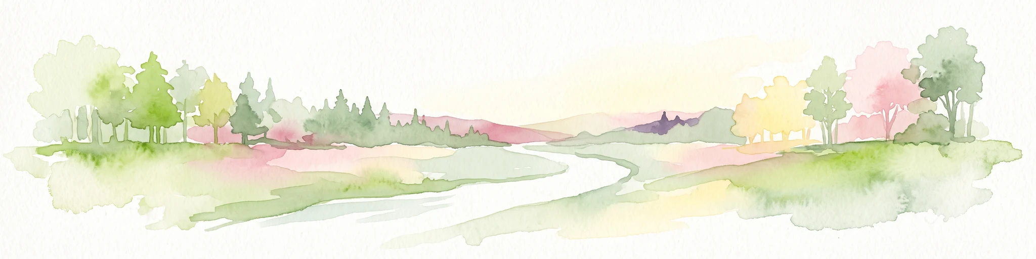
A watercolor painting of a gentle landscape featuring a stream flowing through a grassy meadow bordered by trees with soft pastel colors.
National parkFalcón
About 26 km away#1 closest

South

Parque nacional Juan Crisóstomo Falcón: Karst Geology and Sierra de Falcón Geography

Protected karst mountains, cave systems, and water networks in northern Venezuela.

Parque nacional Juan Crisóstomo Falcón encompasses a distinct limestone landscape within the Sierra de Falcón. This protected area is recognized for vertical sinkholes, sprawling subterranean galleries, and the Fosa de San Luis. As a key water source for the region, the park presents a compact mosaic of varied mountain terrain, encompassing both cloud forest and arid woodland zones across its mountainous expanse.

Area
200 km²
Established
1987
IUCN
II
Relief
Mountain
National parkVenezuela
About 26 km away#2 closest

South

Juan Crisóstomo Falcón National Park: Venezuela's Protected Area and Landscape Geography

Mapped boundaries and regional context for this Venezuelan national park.

Juan Crisóstomo Falcón National Park represents a distinct protected area within Venezuela, offering specific insights into its geographic identity and mapped landscape. This entry facilitates a deeper understanding of the park's protected boundaries and its place within the national and regional atlas of South America. Explore the terrain and natural context that define this significant Venezuelan national park for structured geographic discovery.

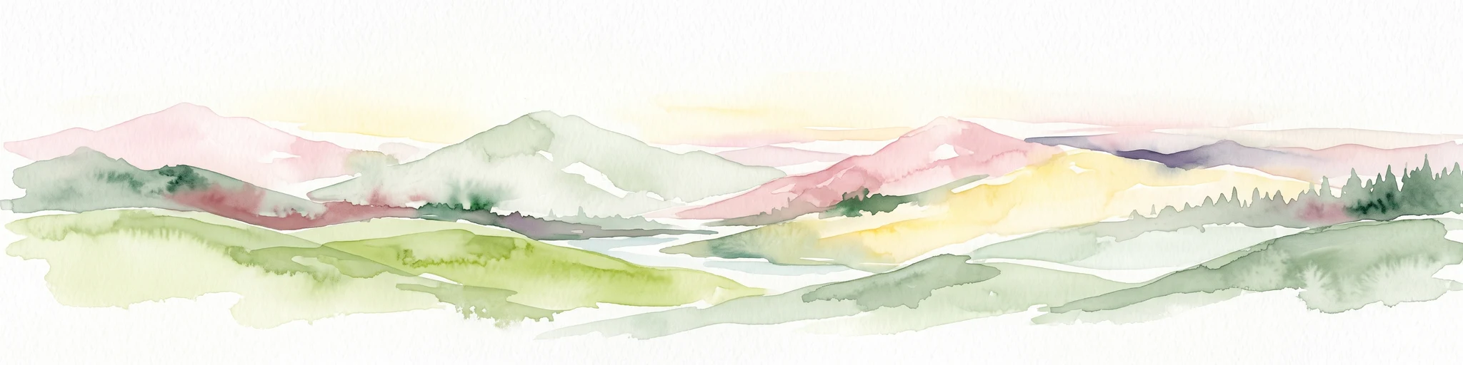
A watercolor painting showing a wide, panoramic view of rolling green hills, distant mountains in shades of pink and muted green, and clusters of evergreen trees against a white background.
National parkAruba
About 79 km away#3 closest

North

Arikok National Park: Mapping the Protected Landscapes and Geological Features of Northern Aruba

Exploring the terrain, coastal cliffs, and cultural heritage of Aruba's premier reserve.

Spanning over 7,000 acres, Arikok National Park forms the core of Aruba's conservation landscape. The park showcases a complex geological story, from the ancient volcanic Aruba Lava Formation and Batholith to the younger, porous limestone plateaus of the south. This protected zone provides a vital refuge for endemic species such as the Aruban rattlesnake and burrowing owl, while preserving layered cultural remnants from Arawak petroglyphs to early gold mining ruins.

Area
32 km²
Established
2000
IUCN
II
Visitors
10K annual
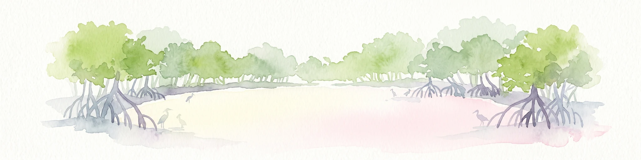
Watercolor painting of mangrove trees with exposed prop roots lining a sandy shore.
Marine protected areaAruba
About 80 km away#4 closest

North

Marine Park Aruba: An Atlas of Protected Coastal Waters and Marine Conservation Zones

Mapping the four-part reserve network across the island coastline

Marine Park Aruba consists of four separate marine protected areas that safeguard the most ecologically significant coastal waters of the island. The reserves protect a diverse array of marine landscapes, ranging from calm mangrove lagoons and seagrass beds to intricate fringing coral reefs. This data-driven overview tracks the park boundaries and regional distribution of these critical Caribbean habitats.

Area
60.2 km²
Established
2019
Relief
Lowland
Climate
Tropical
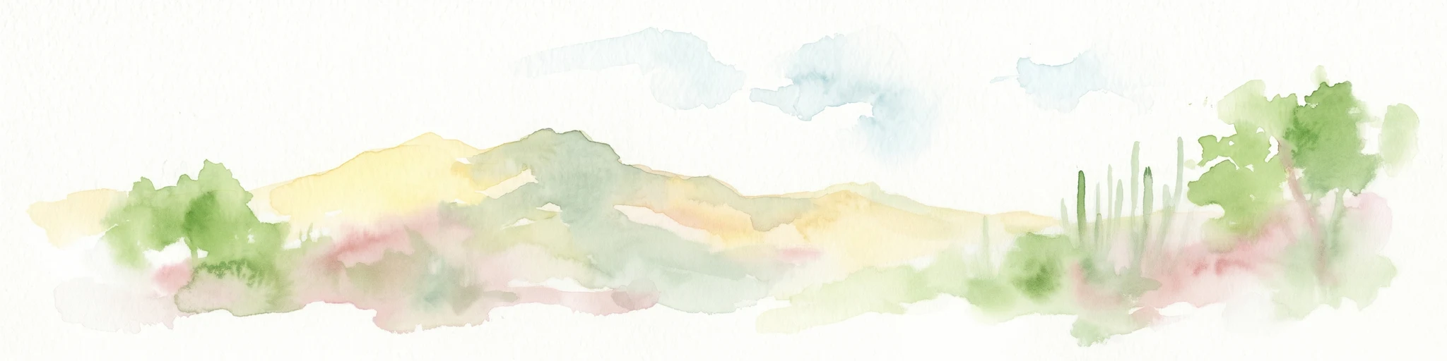
Watercolor painting of a landscape featuring green trees, hills, and cacti under a light blue sky
National parkCuracao
About 90 km away#5 closest

Northeast

Christoffelpark National Park: Curacao's Volcanic Terrain and Protected Landscape Atlas

Explore mapped boundaries and unique dry forest ecosystems.

Christoffelpark represents Curacao's most vital protected natural area, offering a deep dive into its unique geography and landscape. This national park preserves the island's highest peak, Christoffelberg, alongside distinctive dry forest ecosystems, endemic species, and the remnants of colonial plantations. Explore the mapped terrain, understand the regional context, and appreciate the rich natural and cultural heritage that defines this important protected landscape on Curacao.

Area
10.4 km²
Established
1978
IUCN
II
Relief
Mixed relief
National parkVenezuela
About 94 km away#6 closest

Southeast

Cueva de la Quebrada del Toro National Park: Venezuelan National Park Protected Landscape

Explore its mapped boundaries and regional geographic context.

This page details Cueva de la Quebrada del Toro National Park, highlighting its status as a national park within Venezuela. Understand the park's geographic setting, its role as a protected landscape, and its mapped presence within the country's natural reserves. It provides essential context for exploring its protected boundaries and regional significance for atlas-based discovery.

Area
48.85 km²
Established
1961
IUCN
II
Relief
Upland
National parkLara State
About 133 km away#7 closest

South

Cerro Saroche National Park: A National Park within Lara State's Geography

Explore the protected landscape and mapped boundaries.

Cerro Saroche National Park in Lara State, Venezuela, is a distinct protected area offering a valuable perspective for geographic and atlas exploration. This page provides essential details about its identity as a national park, highlighting its place within the regional landscape. Understanding Cerro Saroche National Park helps in appreciating the distribution of protected lands and their geographical significance across Venezuela.

Area
322.94 km²
Established
1989
IUCN
II
Relief
Mountain
National parkVenezuela
145 km away#8 closest

Southeast

Morrocoy National Park: Venezuela's Coastal National Park with Distinct Protected Geography

Explore the mapped protected landscape and regional context.

Morrocoy National Park stands as a key protected area within Venezuela, offering a distinct focus for geographic exploration. As a national park, its mapped boundaries delineate a significant natural landscape critical for understanding regional conservation and the country's broader atlas of protected lands. Discover the unique geographic characteristics and the atlas-driven context of this important Venezuelan protected area.

Area
320.9 km²
Established
1974
IUCN
II
Relief
Mixed relief
MoriAtlas Explorer

Continue Atlas Exploration of Médanos de Coro National Park's Unique Geography

Delve deeper into the geographic context and protected landscape identity of Médanos de Coro National Park. Understanding this park's unique arid terrain and dynamic sand dunes provides valuable insight into regional landforms and conservation areas within South America. Explore its mapped boundaries and discover its place within the broader atlas of protected territories.