
Why Meob-Chamais Islands' Marine Protected Area stands out
Meob-Chamais is best known as the home of the world's largest colony of bank cormorants, a major African penguin breeding and haul-out area, and a congregation point for more than fourteen species of seabirds along Namibia's otherwise arid Atlantic coast. It is also recognized as the country's pioneering marine reserve, the first formally declared under Namibia's integrated coastal conservation framework. The protected area's significance extends beyond individual species to the broader Benguela Current marine ecosystem. The cold, nutrient-rich waters along this stretch of coast fuel exceptional marine productivity, which in turn supports dense seabird colonies and rich inshore marine life. By combining island sanctuaries with offshore zoned waters, the MPA offers a rare blend of terrestrial breeding habitat and marine foraging protection for species that depend on both.
Meob-Chamais Islands' Marine Protected Area history and protected-area timeline
The Meob-Chamais Islands' Marine Protected Area was formally established on 2 July 2009, becoming Namibia's first dedicated marine and island protected area. Its creation reflected the growing recognition that Namibia's Atlantic coast, long valued for fisheries and diamond activity, also harboured globally important seabird colonies and marine biodiversity that required structured protection.
The protected area was developed under the framework of the Namibian Coast Conservation and Management Project (NACOMA), a collaborative initiative that brought together government agencies, conservation organizations, and coastal communities to design a coherent marine conservation system. Meob-Chamais served as the foundational site of this vision, demonstrating how island ecosystems and offshore waters could be brought under a single zoned management approach aligned with IUCN Category VI standards.
From its inception, the reserve was conceived not as an isolated entity but as the southern anchor of a broader coastal strategy. Long-term planning has consistently pointed toward expanding marine protection northward along the Atlantic shoreline toward Sandwich Harbour and the Walvis Bay lagoon, suggesting that the 2009 designation represents the beginning of an evolving national marine conservation network rather than a finished project, but as of various sources there's no concrete progress on that northwards expansion beyond planning-stage discussions.
Note: A small textual discrepancy was identified in the source material between the introductory phrase '400 Kilometer' and the protected area's listed total size of 20,000 square kilometres; these figures describe different measurement dimensions (north-south extent vs. total maritime area) and have been presented here in a clarifying, non-conflicting manner.
Meob-Chamais Islands' Marine Protected Area landscape and geographic character
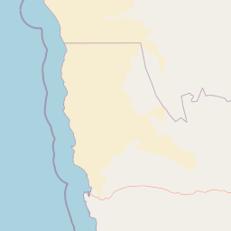
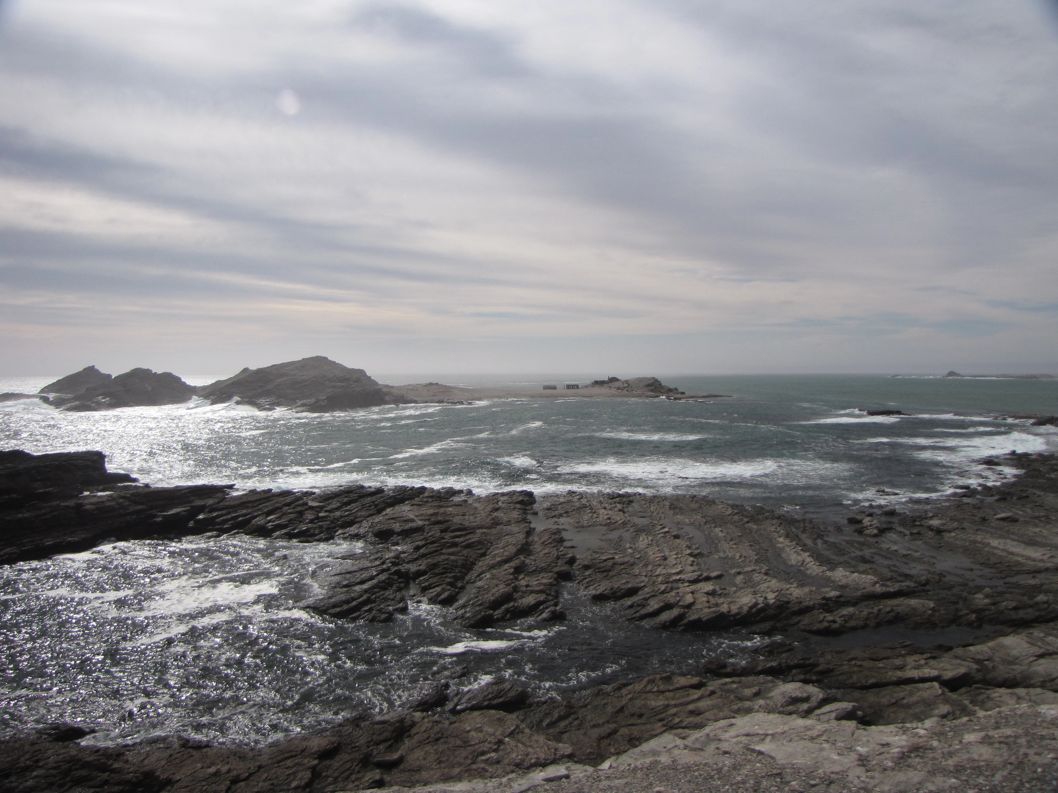
The physical landscape of the Meob-Chamais Islands' Marine Protected Area is dominated by a long, narrow strip of South Atlantic Ocean flanked by the hyper-arid Namib coastline. The reserve extends roughly 400 kilometres from Meob Bay in the central Namib southward to Chamais Bay, just south of Luderitz, and reaches 30 kilometres offshore, framing a transitional zone between desert land and open ocean.
The landward edge of the MPA is shaped by Namibia's harsh coastal desert climate. Rocky peninsulas, shifting sand systems, and sparse gravel plains give way in places to sheltered bays, with Meob Bay itself and Chamais Bay forming notable indentations in the otherwise continuous coastline. Small fishing harbours, historic settlements, and isolated coves punctuate the route, though human development remains sparse outside of Luderitz and a few seasonal settlements.
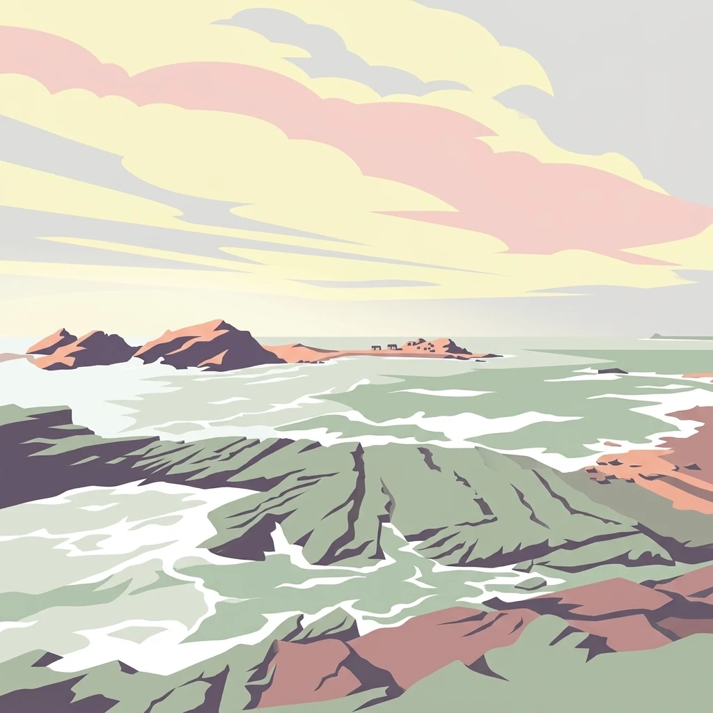
The most visually distinctive elements of the reserve are its islands and islets. Ten principal islands and many smaller rock outcrops rise from the Atlantic within the protected zone, including components of the Penguin Islands such as Halifax Island. These islands are typically bare, guano-stained rocks with steep cliffs and boulder-strewn shorelines, offering almost no vegetation but enormous ecological value as seabird breeding platforms. Bathed in the cool, often foggy air of the Benguela Current, the islands feel stark and remote, yet they are teeming with life during the breeding season.
Meob-Chamais Islands' Marine Protected Area ecosystems, habitats, and plant life
The ecological character of the Meob-Chamais reserve is shaped by the cold Benguela Current, which sweeps northward along Namibia's coast and produces some of the most biologically productive marine waters in the southern Atlantic. This nutrient upwelling fuels a rich chain of plankton, small pelagic fish, larger predatory fish, and the seabirds and marine mammals that feed on them, creating an exceptionally dense biological concentration along a coastline that otherwise appears barren from the land.
On land, the islands and offshore rocks provide critical, predator-free or predator-reduced breeding habitat that is otherwise unavailable on the mainland. Bare rock and guano substrates dominate these islands, yet they support enormous populations of burrow- and cliff-nesting seabirds. Coastal desert ecosystems along the shoreline contribute additional, smaller-scale biodiversity, including hardy lichens, salt-tolerant vegetation in sheltered pockets, and the marine flora of intertidal and subtidal zones. The combined onshore and offshore ecosystems make this MPA ecologically distinctive within Namibia, where terrestrial parks typically focus on savanna, semi-desert, or dune habitats rather than marine systems.
Although the islands are the most celebrated habitats, the marine waters within the MPA themselves form an essential part of the reserve's ecological identity. Fish populations, marine invertebrates, and the broader pelagic food web depend on the protected status of these waters, with zoning designed to balance biodiversity preservation against carefully managed sustainable use under IUCN Category VI status.
Meob-Chamais Islands' Marine Protected Area wildlife and species highlights
The wildlife profile of the Meob-Chamais Islands' Marine Protected Area is overwhelmingly defined by its seabirds. The reserve protects populations of more than fourteen seabird species, making it one of the most important seabird regions on Namibia's coast. Among them, the globally significant bank cormorant colony is the area's most celebrated feature, holding the title of the world's largest known colony of the species.
African penguins are another highlight of the reserve, using islands such as Halifax Island within the Penguin Islands group for breeding and haul-out. Cape cormorants, crowned cormorants, and other seabird species also nest on these rocky outcrops in significant numbers, alongside various gull and tern species. The islands' relative isolation and limited terrestrial predator access help these colonies persist despite the otherwise harsh coastal environment.
Beyond the islands, the productive Benguela waters sustain diverse fish life, which in turn supports sharks, rays, and occasional visits from marine mammals such as seals and cetaceans. While the reserve's fame rests on its seabird colonies, the broader marine fauna forms an essential supporting layer of this coastal ecosystem, linking the islands' breeding success to offshore foraging conditions.
Meob-Chamais Islands' Marine Protected Area conservation status and protection priorities
The Meob-Chamais MPA holds outsized conservation significance as Namibia's first formally designated marine and island protected area, establishing a legal and institutional precedent that has shaped subsequent coastal conservation thinking. Its designation under IUCN Category VI, with four internal management zones, demonstrates a deliberate effort to integrate biodiversity protection with sustainable resource use, rather than relying on strict exclusion.
Globally, the reserve's most important contribution is the protection of the world's largest bank cormorant colony and major populations of African penguins, both of which have experienced significant population pressure elsewhere in their range. By safeguarding breeding islands and surrounding foraging waters together, the MPA addresses one of the major threats to these species: the loss or disturbance of nesting habitat linked to changes at sea.
The reserve also functions as a cornerstone of Namibia's long-term coastal conservation strategy. Through the Namibian Coast Conservation and Management Project (NACOMA), it serves as a model for collaborative management involving government, conservation organizations, and coastal communities. The broader ambition of extending marine protection along Namibia's entire Atlantic coastline, including Sandwich Harbour and the Walvis Bay lagoon, gives Meob-Chamais a strategic role as the southern anchor of an envisioned national marine conservation network.
Meob-Chamais Islands' Marine Protected Area cultural meaning and human context
The coast along the Meob-Chamais reserve has long carried human significance, both as a livelihood zone and as a frontier landscape. Small fishing communities have operated along this stretch of Namibian coast for generations, with harbour towns such as Luderitz anchoring both historical and contemporary maritime activity. The protected area's IUCN Category VI framework reflects the importance of maintaining cultural and economic uses of the sea while embedding conservation into coastal life.
Diamond mining and offshore resource extraction have also shaped parts of this coastline historically, contributing to the region's restricted access patterns and reinforcing the sense of a tightly managed, sparsely populated coastal strip. The islands themselves have little human cultural presence but hold strong scientific and ecological heritage value, having been studied for decades as reference sites for southern African seabird populations.
Top sights and standout views in Meob-Chamais Islands' Marine Protected Area
Stands out as Namibia's first dedicated marine and island protected area, covering approximately 20,000 square kilometres from Meob Bay to Chamais Bay near Luderitz, with offshore waters reaching 30 kilometres into the Atlantic.
Home to the world's largest colony of bank cormorants and to significant African penguin populations on islands such as Halifax Island within the Penguin Islands.
Protects more than fourteen seabird species across ten islands and numerous smaller islets, forming one of the most important seabird concentrations along Namibia's Atlantic coast.
Organized under IUCN Category VI with four management zones, balancing biodiversity protection with sustainable resource use through the NACOMA project.
Best time to visit Meob-Chamais Islands' Marine Protected Area
The Benguela Current keeps the coastal climate of the Meob-Chamais region cool and frequently foggy year-round, with mild air and water temperatures that limit dramatic seasonal swings compared to inland Namibia. Seabird breeding activity on the islands is generally tied to specific seasonal cycles, with peak colony attendance varying by species, but the cooler months often bring calmer offshore conditions and concentrated bird activity.
Because the reserve's appeal is heavily linked to seabirds and remote island atmosphere rather than terrestrial weather, the best window tends to align with periods when seas are relatively calm and visibility improves away from dense fog. Travellers interested in photography and seabird observation generally favour times when the colonies are most visibly active, though conditions can change quickly along this exposed Atlantic coast.