
Wetlands
Park geography
Detailed analysis of regional terrain, landscape features, and park boundary dimensions
Comprehensive Geographic Profile and Mapped Boundaries of Muddus National Park in Sweden
This geographic profile examines the 493.4 square kilometer expanse of Muddus National Park in Norrbotten County. The dataset provides structured insights into the park's boreal landscape, characterized by extensive forest cover, peatland wetlands, and distinct natural features including the Muddusfallet waterfall and various upland peaks.
Sweden's largest forest national park with primeval taiga and ancient pine forests
Muddus National Park
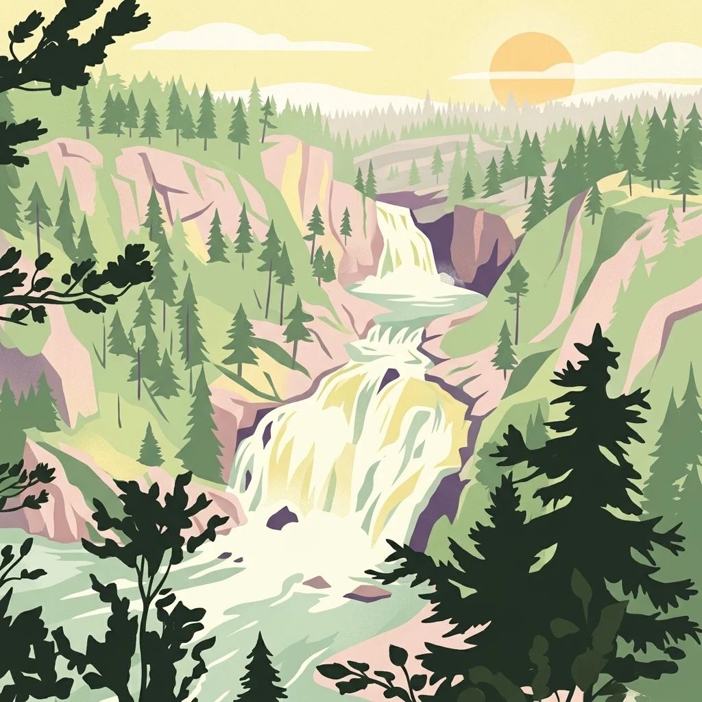
Muddus National Park is Sweden's largest forest-protected area, situated in the northern province of Lapland within Norrbotten County. The park covers approximately 493 square kilometers of pristine boreal landscape and forms a core component of the Laponian Area, a UNESCO World Heritage Site recognized for its outstanding natural values. The terrain is characterized by a remarkable combination of old-growth coniferous forests, extensive peat bogs and mires, deep ravines, and dramatic rock formations. A defining feature of the park is its complete absence of roads, preserving an intimate wilderness character that has remained largely undisturbed by modern development. The park contains Sweden's oldest known pine tree, an ancient specimen estimated to be at least 710 years old that survived a forest fire in 1412.
- Location
- Sweden
- Park type
- National park
- Established
- 1942
- Area
- 493.4 km²
Location overview
National and regional location profile within Norrbotten County
Geographic Position and Regional Setting of Muddus National Park in Sweden
Muddus National Park is situated entirely within Norrbotten County in northern Sweden. The protected area maintains a purely inland, non-transboundary profile under single national jurisdiction.
- Countries
- Sweden
- Regions
- Norrbotten County
- Primary location
- Norrbotten County
- Geographic setting
- Inland
Boundary and coordinates
Interactive boundary geometry and calculated area metrics
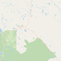
Muddus National Park Boundary Map and Spatial Extent
Mapped park outlines provide precise spatial context for exploring protected terrain across the region. Accompanying boundary facts detail recorded area measurements, coordinate limits, and geographic spans without legal survey claims.
- Boundary area
- 511.1 km²
- Boundary perimeter
- 97.2 km
- Northernmost point
- 67.0626° N
- Southernmost point
- 66.7354° N
- Easternmost point
- 20.4204° E
- Westernmost point
- 19.935° E
- Geographic centre
- 66.9164° N, 20.1974° E
- North–south span
- 36.5 km
- East–west span
- 21.3 km
Terrain and natural features
Upland terrain classifications and recorded natural features
Muddus National Park Terrain and Named Natural Features
Muddus National Park features upland terrain classifications and recorded natural features located within the protected boundary. Linked feature cards supply names, types, measurements, and spatial relationships where documented.
Selected named natural features
Peaks
Guorriktjåhkkå
Wetlands
Dahkaráhpe
Streams
Gilddejåhkå
Peaks
Luovvunavárre
Streams
Hapsasjåhkå
Environmental setting
Boreal forest cover, upland relief, and wetland habitats across recorded categories
Muddus National Park Environmental Classifications and Physical Settings
Stored landscape features and habitat types frame the physical setting of Muddus National Park as complementary interpretive categories. Recorded classifications connect directly to relevant atlas destinations for structured geographic browsing.
- Relief
- Upland
- Climate
- Boreal
- Water
- Minor water
- Forest cover
- Mostly forested
Landscape features
Forest · Wetland · Bog · Lakes · Waterfalls · Valleys
Habitat types
Boreal forest · Wetland · Peatland
Park atlas
Map the surrounding protected areas in Lapland, Sweden, and compare their unique boreal and forest landscapes.
Discover More National Parks and Protected Landscapes Around Muddus National Park
Broaden your protected area discovery by exploring other national parks and forest reserves geographically near Muddus National Park in northern Sweden's expansive Lapland region. This geographic comparison helps trace the spread of unique boreal ecosystems, ancient old-growth forests, and vast wetland systems across adjacent conservation landscapes.
National parkNorrbotten County
69 km away#1 closest
Northwest

Stora Sjöfallet National Park: Protected Arctic Landscape in Norrbotten County
Explore mapped terrain and regional geography.
Stora Sjöfallet National Park stands as a significant protected landscape within Norrbotten County, Sweden, renowned for its striking Arctic mountain scenery centered on the Áhkká massif. As a key component of the Laponian Area UNESCO World Heritage Site, its vast expanse of over 1,278 square kilometers offers critical insights into subarctic ecosystems, glacial terrain, and the mapped boundaries of a protected natural territory. Discover the unique geographic features and ecological value of this expansive national park.
- Area
- 1,278 km²
- Established
- 1909
- IUCN
- II
- Relief
- Mountain
National parkNorrbotten County
75 km away#2 closest
Northwest
Sarek National Park: Mapping Sweden's Rugged Alpine Wilderness and Glacial Terrain
Explore the mapped geography of Norrbotten County's largest alpine national park.
Sarek National Park represents the heart of Sweden's alpine wilderness, a protected landscape defined by its towering mountain peaks, expansive glaciers, and deeply carved glacial valleys. Situated in Norrbotten County, the park's geography is characterized by a remote and rugged terrain, making it a prime destination for understanding high-altitude natural environments through mapped context. Discover the unique contours of this iconic national park and its place within the broader regional geography of Swedish Lapland.
- Area
- 1,970 km²
- Established
- 1909
- IUCN
- II
- Relief
- Mountain
National parkNorrbotten County
121 km away#3 closest
West
Padjelanta National Park: Sweden's Largest National Park Protected Plateau Landscape
Explore subarctic terrain, large lakes, and Laponia World Heritage Site geography.
Padjelanta National Park, situated in Norrbotten County, is Sweden's largest national park. It features a distinctive subarctic plateau ecosystem centered around two vast lakes, offering a starkly open landscape compared to adjacent alpine areas. This protected area is renowned for its exceptional botanical and lichen diversity, a vital part of the Laponia World Heritage Site. Users can explore its mapped geography, unique terrain, and the cultural significance of this expansive arctic wilderness.
- Area
- 1,984 km²
- Established
- 1963
- IUCN
- II
- Relief
- Highland
National parkNorrbotten County
144 km away#4 closest
West
Pieljekaise National Park: Ancient Birch Woodland and Glacial Terrain in Norrbotten
Explore Sweden's protected landscape and mapped geography.
Pieljekaise National Park, a historic protected area in Norrbotten County, showcases one of Scandinavia's most intact boreal birch woodlands. Its landscape is shaped by ancient glacial activity, featuring a U-shaped valley, rolling hills covered in primeval-like birch forests, and distinctive twin peaks. Positioned along the renowned Kungsleden trail, this national park serves as a vital point for understanding the mapped geography and protected natural heritage of Sweden's Lapland region.
- Area
- 153.4 km²
- Established
- 1909
- IUCN
- II
- Relief
- Upland
National parkNorrbotten County
149 km away#5 closest
North
Abisko National Park
Subarctic national park with unique landscapes
Abisko National Park in Swedish Lapland offers a glimpse into dramatic subarctic terrain. Explore its protected boundaries, river canyons, and alpine tundra through structured geographic data.
- Area
- 77 km²
- Established
- 1909
- IUCN
- II
- Visitors
- 50K annual
National parkTroms
151 km away#6 closest
North

Rohkunborri National Park: Northern Norway's Dramatic Protected Landscape
Explore its mapped terrain, canyon, and alpine ecosystems.
Rohkunborri National Park offers a profound encounter with northern Norway's wild geography. As a designated national park in Troms county, it features the iconic Sørdalen canyon, a dominant geological feature that shapes its diverse terrain. The park's landscape encompasses a rich ecological gradient, from boreal forests to alpine tundra, supporting a variety of wildlife. This protected area is crucial for understanding Scandinavian mountain ecosystems and transboundary conservation efforts, providing rich content for atlas-based exploration of its mapped boundaries and natural context.
- Area
- 571 km²
- Established
- 2011
- IUCN
- II
- Relief
- Mountain
National parkNordland
156 km away#7 closest
West
Junkerdal National Park: Protected Arctic-Alpine Landscape in Nordland, Norway
Explore mapped boundaries and unique geographic context.
Delve into Junkerdal National Park, a significant protected area within Nordland county, Norway. This national park is celebrated for its rich arctic-alpine flora, including rare plant species that thrive at their southernmost European range. The varied landscape, shaped by glacial activity, features dramatic mountain valleys and alpine plateaus, offering a distinct geographic profile. Understand its protected status and mapped terrain, providing a critical point of discovery for regional landscape context.
- Area
- 682 km²
- Established
- 2004
- IUCN
- II
- Relief
- Mountain
National parkTroms
169 km away#8 closest
North
Øvre Dividal National Park: Arctic Alpine Protected Landscape in Troms, Norway
Mapped boundaries and unique ecological terrain of a pristine wilderness.
Øvre Dividal National Park stands as a premier example of Arctic alpine wilderness, meticulously preserved as a national park in Norway's Troms region. This entry facilitates a detailed exploration of its mapped protected boundaries and the distinct elevational ecological zones, from boreal forests to high-altitude tundra. Gain geographic context for this vital landscape, which supports diverse habitats and contributes to Scandinavia's largest contiguous wilderness areas.
- Area
- 750 km²
- Established
- 1971
- IUCN
- II
- Relief
- Mountain
MoriAtlas Explorer
Continue Mapping Muddus National Park's Ancient Boreal Landscape
Delve deeper into the protected geography of Muddus National Park to understand its unique mapped terrain, ancient forest ecosystems, and significant ravine and mire formations. Explore its context within Norrbotten County and discover the full scope of this remarkable boreal wilderness through structured atlas data and detailed landscape information.
Browse next
Global natural geography
Explore related park routes
Explore MoriAtlas Global ParksBrowse All MoriAtlas ParksGlobal Park Map DiscoveryMoriAtlas: Browse All CountriesBrowse All MoriAtlas ContinentsNational Park Environment AtlasGrand Canyon National Park AtlasYellowstone National Park AtlasYosemite National Park Atlas and GeographySerengeti National Park AtlasGalápagos National Park Protected LandscapeBanff National Park Geography and AtlasKruger National Park Atlas EntryUluṟu-Kata Tjuṯa National Park AtlasExplore Uluru-Kata Tjuta National Park GeographyPlitvice Lakes National Park AtlasFiordland National Park Protected LandscapeGreat Smoky Mountains National Park AtlasAfghanistan National Parks and Protected AreasAlbania National Parks and Protected AreasAlgeria National Parks and Protected AreasAmerican Samoa National Parks and Protected AreasAndorra National Parks and Protected AreasAngola National Parks and Protected AreasAntarctica National Parks and Protected AreasAntigua and Barbuda Park List