
Waterfalls
Park geography
A detailed look at the island terrain, mountain peaks, and forest landscapes within the park boundaries
Geographic Profile, Mapped Boundaries, and Natural Features of Norfolk Island National Park
The geography of Norfolk Island National Park features distinct mountain terrain, coastal woodlands, and forest habitats situated within Australia. This profile details the park boundary span and perimeter, while highlighting significant natural peaks such as Mount Bates and Mount Pitt along with unique waterfall features contained within the protected area.
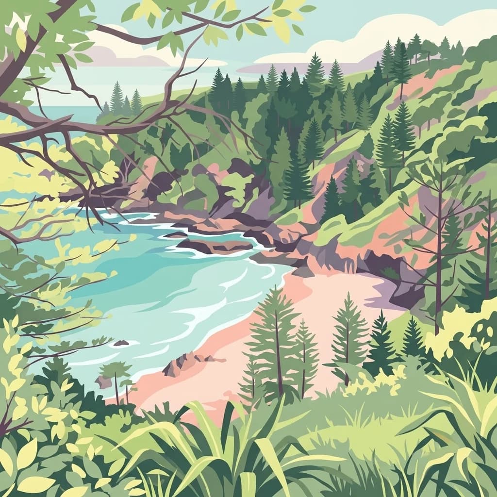
Remote Pacific island sanctuary protecting endangered endemic species
Norfolk Island National Park
Norfolk Island National Park is a protected area spanning approximately 6.5 square kilometers across Norfolk Island, Phillip Island, and Nepean Island in the South Pacific Ocean. Located about 1,471 kilometers off the eastern coast of Australia, the park occupies a unique position as part of Australia's external territory and represents one of the most isolated national park designations in the Pacific region. The park encompasses the Mount Pitt section on the main island along with neighboring Phillip Island and the smaller Nepean Island, creating a multi-island protected landscape that serves as a critical refuge for severely endangered endemic species. Established in 1984 under the National Park and Wildlife Conservation Act of 1975 and managed by the Commonwealth of Australia through the Director of National Parks, the park represents both a natural sanctuary and a living laboratory for conservation efforts targeting species found nowhere else on Earth.
- Location
- Australia
- Park type
- National park
- Established
- 1984
- Area
- 6.5 km²
Location overview
Country classification and coastal island park status
Geographic Setting of Norfolk Island National Park in Australia
Norfolk Island National Park is situated within the sovereign territory of Australia. Factual records identify the reserve as a coastal island park with no transboundary or marine status.
- Countries
- Australia
- Primary location
- Australia
- Geographic setting
- Coastal · Island
Boundary and coordinates
Interactive protected area geometry and derived spatial measurements
Norfolk Island National Park Boundary Map and Spatial Extent
Mapped boundary outlines provide spatial context for the protected area footprint. Accompanying facts display area measurements and coordinate limits without implying legal survey precision.
- Boundary area
- 4.9 km²
- Boundary perimeter
- 13.1 km
- Northernmost point
- 29.0011° S
- Southernmost point
- 29.0253° S
- Easternmost point
- 167.9582° E
- Westernmost point
- 167.9237° E
- Geographic centre
- 29.0131° S, 167.9403° E
- North–south span
- 2.7 km
- East–west span
- 3.4 km
Terrain and natural features
Explore mountain classifications and recorded natural features within the park
Norfolk Island National Park Terrain and Named Natural Features
Mountain classification defines the terrain profile across protected land alongside recorded natural features located inside boundaries. Linked feature cards supply specific names, types, measurements, and spatial relationships where documented.
Selected named natural features
Peaks
Mount Pitt
Peaks
Mount Bates
319 m
Environmental setting
Temperate climate zones, forest cover, and coastal island relief classifications
Norfolk Island National Park Environmental Setting and Protected Landscape Classifications
Recorded landscape features and habitat types combine to define the physical setting of Norfolk Island National Park across temperate broadleaf forest zones. Mapped categories link directly to related protected areas and regional geography within the global park database.
- Relief
- Mountain
- Climate
- Temperate
- Water
- Minor water
- Forest cover
- Mostly forested
- Seasonality
- Year-round
Landscape features
Mountains · Forest · Woodland · Cliffs · Coast · Islands
Habitat types
Temperate broadleaf forest · Montane forest · Coastal habitat · Riverine habitat
Park atlas
Map the surrounding protected area geography, compare similar island ecosystems, and explore related conservation landscapes.
Explore Other National Parks and Protected Areas Near Norfolk Island National Park
After exploring Norfolk Island National Park, browse other national parks and protected areas in the broader region to understand their unique geographic context and conservation efforts. Compare diverse protected landscapes and unique island ecosystems, tracing geographic patterns for deeper atlas discovery and understanding regional biodiversity.
Marine protected areaNorfolk Island
Park boundaries overlap#1 closest
Southeast

Norfolk Marine Park: A Comprehensive Look at Australia's Offshore Protected Ocean Reserve
Marine geography, deep sea features, and ocean convergence zones
Norfolk Marine Park represents a vast expanse of offshore territory defined by varied seafloor bathymetry including ridges, plateaus, and troughs. As a key component of the Temperate East Marine Parks Network, the reserve protects the Tasman Front, where dynamic water masses interact to drive biological productivity across the South Pacific. Its geographic isolation and structural diversity make it a pivotal research site for understanding regional marine ecosystems and deep-water fauna connectivity.
- Area
- 188,444 km²
- Established
- 2018
- IUCN
- IV
- Climate
- Subtropical

Nature reserveNew Zealand
About 694 km away#2 closest
Southeast

Three Kings Islands Nature Reserve: Mapping the Volcanic Geography of New Zealand
Remote volcanic archipelago and protected nature reserve.
The Three Kings Islands represent a significant protected landscape northwest of New Zealand, known for dramatic volcanic cliffs and profound biological endemism. This nature reserve encompasses 13 uninhabited islands rising from deep ocean waters, offering a unique opportunity to study isolated island geography, marine-focused ecosystems, and the cultural significance of the Manawatāwhi archipelago.
- Area
- 6.85 km²
- Established
- 1908
- Relief
- Upland
- Climate
- Subtropical
Marine protected areaQueensland
839 km away#3 closest
West
Gifford Marine Park: Deep Sea Topography and Offshore Marine Protected Area Mapping
Volcanic seamount geography in the Tasman Sea
Gifford Marine Park protects critical underwater structures along the Lord Howe Seamount Chain. This offshore reserve focuses on preserving the integrity of seafloor habitats and the unique current dynamics created by two massive guyots, providing a vital oceanic environment for sperm and humpback whale populations in the Tasman Sea.
- Area
- 5,828 km²
- IUCN
- IV
- Relief
- Lowland
- Climate
- Subtropical
Marine protected areaNew South Wales
About 897 km away#4 closest
West
Lord Howe Island Marine Park: Mapping the Southernmost Coral Reefs of New South Wales
A comprehensive marine protected area featuring barrier reefs and volcanic island topography.
Lord Howe Island Marine Park protects a rare marine environment defined by its position at the latitudinal limit of reef growth. Encompassing barrier reefs, lagoons, and rocky island coasts, this protected area serves as a critical habitat for endemic marine life influenced by the East Australian Current. Explore the complex underwater terrain and geographic boundaries that define this landmark marine reserve in the Tasman Sea.
- Area
- 465.45 km²
- Established
- 1999
- IUCN
- II
- Relief
- Lowland

Nature reserveNew Zealand
About 904 km away#5 closest
Southeast
Waipoua Forest Nature Reserve: An Atlas of Ancient Kauri and Northland Rainforest
Charting the protected ecological boundaries and humid temperate geography
Waipoua Forest represents a vital protected landscape in Northland, New Zealand, characterized by deep, rain-fed valleys and towering kauri stands. This nature reserve sustains one of the largest clusters of old-growth trees in the country, maintaining a dense, multi-layered forest structure that stands in sharp contrast to the modified land on its margins. The sanctuary remains a primary reference point for understanding the wet, hilly terrain of the North Island west coast.
- Area
- 80 km²
- Established
- 1952
- Visitors
- 200K annual
- Relief
- Upland
Marine protected areaNew South Wales
About 915 km away#6 closest
Southwest
Lord Howe Marine Park: Geographic Profile and Protected Marine Landscape Assessment
Mapping offshore seamounts and reef systems in the Tasman Sea.
Lord Howe Marine Park stands as a major protected area within Australian Commonwealth waters, defined by its immense scale and complex underwater topography. The park guards unique seafloor structures including ridges, plateaus, and the isolated reef environments of the Elizabeth and Middleton Reefs. This geographic overview highlights the park's role as a biological convergence zone where oceanic currents drive nutrient cycles and sustain significant seabird colonies and cetacean migration paths.
- Area
- 110,126 km²
- Established
- 2018
- IUCN
- IV
- Relief
- Lowland
Nature reserveNorthland Region
About 924 km away#7 closest
Southeast
Kai Iwi Lakes Reserve: A Detailed Look at Northland's Freshwater Dune Lake Geography
Nature reserve featuring dune-formed lake basins and native scrub
Kai Iwi Lakes Reserve is a notable nature reserve in the Northland region, centered on the freshwater lakes of Taharoa, Kaiiwi, and Waikare. This protected area offers insight into sand-sculpted geomorphology, with lake basins formed by windblown dunes and surrounded by a diverse mix of native forest, pine stands, and pastoral land, providing a clear window into Northland's unique inland water geography.
- Area
- 5.38 km²
- Relief
- Lowland
- Climate
- Temperate
- Access
- Moderate access

Nature reserveNew Zealand
About 941 km away#8 closest
Southeast
Waro Limestone Scenic Reserve: Karst Landscapes and Cultural Heritage in Northland, New Zealand
A study in geological formations and industrial history.
Waro Limestone Scenic Reserve offers a concentrated look at Northland geography, featuring vertical limestone outcrops and a flooded quarry set within rural farmland. As a protected nature reserve, it serves as a site of significant Māori cultural heritage while also preserving remnants of early New Zealand industrial activity, such as coal mining and lime extraction, which shaped the surrounding terrain.
- Relief
- Upland
- Climate
- Subtropical
- Scope
- Terrestrial
- Water
- Minor water
MoriAtlas Explorer
Continue Exploring Norfolk Island National Park's Protected Landscape and Geographic Features
Deepen your understanding of Norfolk Island National Park by exploring its specific geographic attributes and protected landscape character. Continuing here allows for detailed examination of its mapped boundaries and regional context, providing essential atlas information for appreciating its conservation significance within Australia's diverse protected areas.
Browse next
Global natural geography
Explore related park routes
Explore MoriAtlas Global ParksBrowse All MoriAtlas ParksGlobal Park Map DiscoveryMoriAtlas: Browse All CountriesBrowse All MoriAtlas ContinentsNational Park Environment AtlasGrand Canyon National Park AtlasYellowstone National Park AtlasYosemite National Park Atlas and GeographySerengeti National Park AtlasGalápagos National Park Protected LandscapeBanff National Park Geography and AtlasKruger National Park Atlas EntryExplore Uluru-Kata Tjuta National Park GeographyPlitvice Lakes National Park AtlasFiordland National Park Protected LandscapeGreat Smoky Mountains National Park AtlasZion National Park Protected Landscape AtlasAfghanistan National Parks and Protected AreasAlbania National Parks and Protected AreasAlgeria National Parks and Protected AreasAmerican Samoa National Parks and Protected AreasAndorra National Parks and Protected AreasAngola National Parks and Protected AreasAntarctica National Parks and Protected AreasAntigua and Barbuda Park List