

Mori Atlas logo
Nature reserveOostvaardersplassen

Understanding the ecological character and polder geography of this Dutch wetland sanctuary

Oostvaardersplassen Nature Reserve: Mapping the Protected Landscapes of Flevoland

Oostvaardersplassen stands as a prominent nature reserve situated within the reclaimed polders of Flevoland, Netherlands. Spanning approximately 5,600 hectares, this protected area features a unique dual landscape composed of expansive wet marshes and open, grazed plains. It serves as a critical site for European conservation, where dynamic hydrological management and large herbivore populations shape a constantly evolving natural terrain between the cities of Almere and Lelystad.

wetlandsmarshlandbirdwatchinglarge herbivoresrewildingpolder landscape
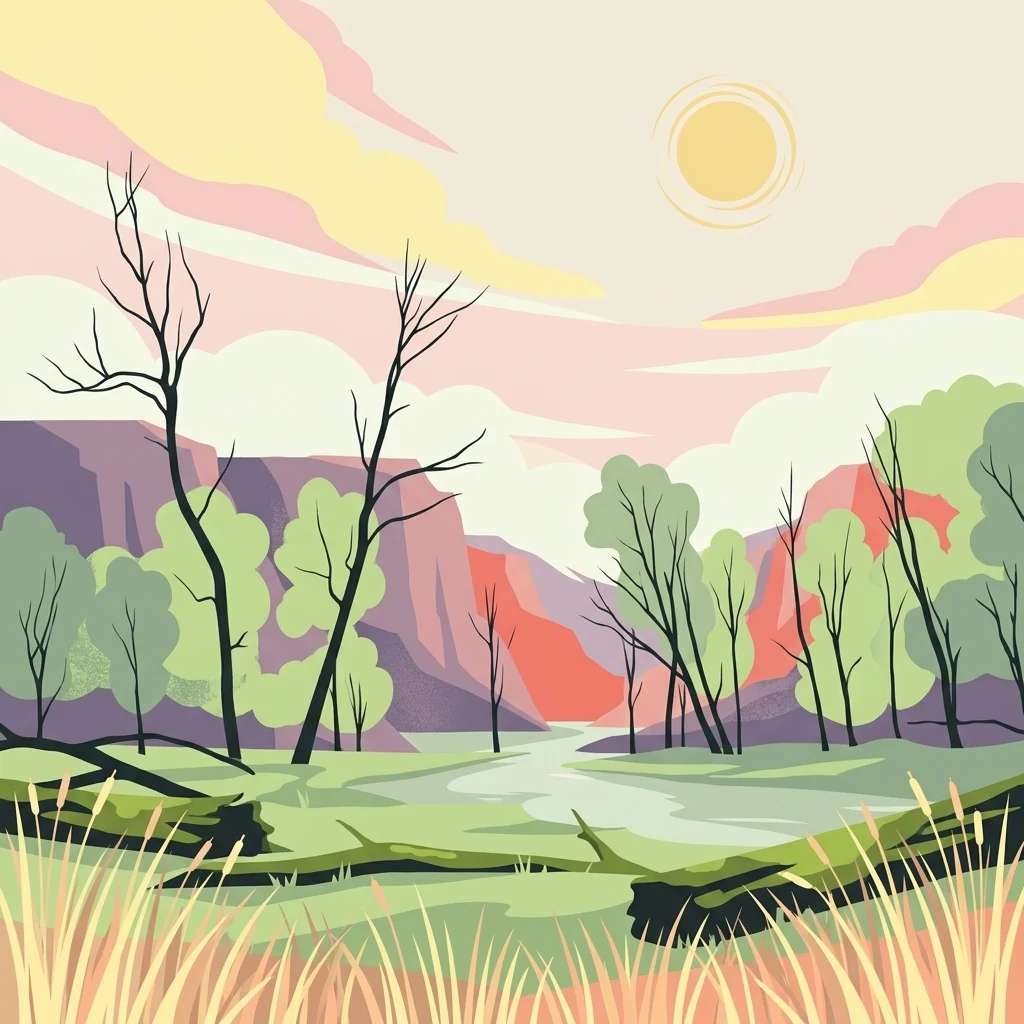
A stylized illustration of a nature reserve featuring a winding stream, reeds in the foreground, sparse trees, and distant hills under a warm pastel sky.

Oostvaardersplassen

Nature reserve

Park overview

Structured park overview, official facts, and landscape profile for Oostvaardersplassen

Oostvaardersplassen park facts, protected area profile, and essential visitor context

Review the core facts for Oostvaardersplassen, including designation, size, terrain, visitor scale, habitats, and operating context in one park-focused overview.

About Oostvaardersplassen

Oostvaardersplassen is a large nature reserve in the province of Flevoland in the central Netherlands, located between Almere and Lelystad. It lies in one of the youngest landscapes in Europe, having arisen in the late 1960s as a side effect of land reclamation; the surrounding Flevoland polders were drained between 1950 and 1968, and the lowest, wettest sections, originally intended for industry or glasshouses, instead developed into a remarkable marsh complex.

In ecological terms, the reserve is dominated by freshwater marsh, reed beds, willow thickets, wet grasslands, and dry grazed plains, with water levels actively managed to support different bird communities. The wet section of the reserve covers about 3,600 hectares and is internationally recognized as a marsh and wintering area for waterbirds, including large numbers of greylag geese, plus breeding species such as spoonbill, cormorant, great egret, and the bearded reedling.

The dry section, around 2,000 hectares, is famously shaped by large grazers: Heck cattle, Konik horses, and red deer. These animals were introduced in the 1980s and 1990s as part of an experiment inspired by the ideas of biologist Frans Vera, aiming to let natural processes shape the landscape. Their presence has turned Oostvaardersplassen into one of the most discussed nature areas in the Netherlands, raising questions about wildlife welfare, ecological restoration, and the moral dimensions of rewilding.

The reserve today carries multiple layers of protection. It is almost entirely designated as a Bird Directive area and as a state nature monument. It has long held a European Diploma for Nature Management and was formally designated as a Natura 2000 site in 2009. Since 2018 it has formed the core of Nationaal Park Nieuw Land. Managed by Staatsbosbeheer, the area also acts as a living laboratory for hydrological management, vegetation succession, and large herbivore policy.

Quick facts and research context for Oostvaardersplassen

Oostvaardersplassen covers roughly 5,600 hectares in Flevoland, between the cities of Almere and Lelystad, in the central Netherlands.

It is a young nature area in geographic terms, formed after the post-war drainage of the Flevoland polders, and today it is recognized as a nationally and internationally important wetland and wintering site for waterbirds.

The reserve carries multiple layers of protection, including Bird Directive and Natura 2000 designations, recognition through a European Diploma for Nature Management, and its place within the broader Nationaal Park Nieuw Land, while being managed by Staatsbosbeheer.

Protection and recognition

Documented protection history, terrestrial scope, and international designations

Oostvaardersplassen Protection Status and International Recognition Data

Oostvaardersplassen maintains recorded terrestrial protection status established in 2009 alongside official international recognitions including Natura 2000 and Ramsar site listings. Structured conservation data tracks official designation history and administrative recognition frameworks without assuming specific management outcomes.

International recognition

Protection details

Protection scope
Terrestrial
Designated year
2009
Transboundary protection
No
Park context

Deeper park guide and search-rich context for Oostvaardersplassen

Oostvaardersplassen history, landscape, wildlife, and travel context

Explore Oostvaardersplassen through its history, landscape character, ecosystems, wildlife, conservation priorities, cultural context, and seasonal travel timing in a structured park guide built for atlas discovery and search intent.

Why Oostvaardersplassen stands out

Oostvaardersplassen is best known for being one of the most important wetland areas in the Netherlands, especially for its role as a wintering site for geese and a breeding and foraging area for marsh birds. The reserve is famous for its large populations of greylag geese, as well as for spoonbills, cormorants, and rare marsh specialists such as the bearded reedling. Equally central to its identity is the pioneering and highly visible use of large herbivores: Heck cattle, Konik horses, and red deer, whose grazing shapes the open landscapes alongside the marsh. The combination of dynamic water levels, large grazers, and rapidly evolving vegetation has made Oostvaardersplassen a landmark case in modern Dutch nature management.
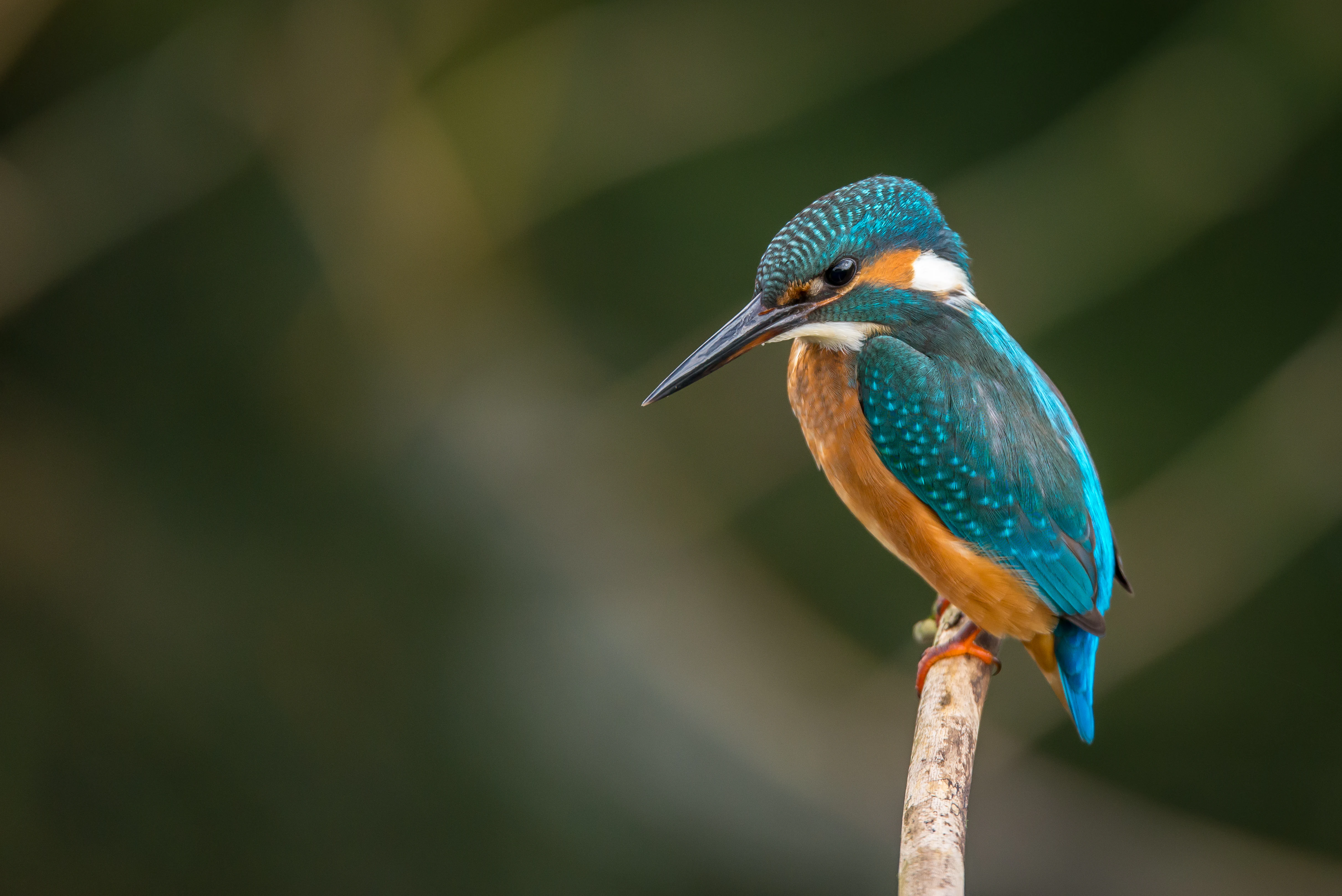
A close up profile shot of a common kingfisher with bright blue feathers on its back and a rusty orange chest, perched on a thin vertical wooden branch against a blurred green background.
A common kingfisher perched on a branch, showcasing the vibrant avian diversity found in the wetlands of Oostvaardersplassen.

Oostvaardersplassen history and protected-area timeline

Oostvaardersplassen is a product of twentieth-century Dutch water engineering. After the Afsluitdijk was completed in 1932, the IJsselmeer was created and the Flevoland polders were drained in stages: the Noordoostpolder in 1942, Eastern Flevoland in 1957, and Southern Flevoland in 1968. The low, sandy, wet areas of Southern Flevoland were originally planned for industry and greenhouse agriculture, but instead became a marsh.

After Southern Flevoland was drained, reeds were sown by plane, willows took hold, and pioneer plants such as marsh sowthistle established on the mudflats, creating a mosaic of reed beds, willow thickets, open water, and marsh vegetation. By the early 1970s the area was rapidly drying out and silting up due to drainage of the surrounding farmland. In 1973, after campaigning by biologists and local action groups, reclamation at the edges was halted. A provisional embankment was built, water was pumped in during dry periods, and in 1974 the area received temporary nature reserve status. By 1975 a permanent embankment defined a marsh area of about 3,600 hectares.

Through the 1970s and 1980s, water levels were actively managed to support specific bird species, and in 1983 and 1984 Heck cattle and Konik horses were introduced to graze the area year-round. The first development vision in 1987 formalized a goal of eight interconnected landscape types, from open water to woodland. By 1992 red deer had been released into the grazed zone.

In 1996 management was transferred from Rijkswaterstaat to Staatsbosbeheer, and under the influence of Frans Vera's wilderness model, an approach of minimal intervention was adopted. Winter feeding was stopped, animal numbers were allowed to fluctuate naturally, and the area attracted international attention for its rewilding experiments. From the mid-2000s, however, the resulting starvation of animals in severe winters ignited national debate. The international ICMO advisory committee was formed, the Dutch parliament intervened, and management shifted toward reactive culling, supplementary shelter, and eventually active population control.

In 2009 the area was designated as a Natura 2000 site. The first Natura 2000 management plan in 2014 prioritized the conservation of 31 bird species, and in 2015 the central place of birds in policy was reaffirmed. In 2016 management responsibility was transferred to the Province of Flevoland, and in 2018 the area became part of Nationaal Park Nieuw Land. Following protests over large herbivore mortality in 2018, an external advisory committee chaired by Pieter van Geel recommended a stable large-grazer population of around 1,100 animals. This goal was reached in 2023, and the current management plan relies on regular monitoring, occasional feeding, and targeted removal.

Oostvaardersplassen landscape and geographic character

The landscape of Oostvaardersplassen is the product of a very young, reclaimed polder environment. Despite being located in a famously flat country, the area presents a striking internal contrast between a wet marsh core and a drier grazed fringe, with subtle gradients that are exceptionally important to its wildlife.

The wet section consists of shallow open water, mudflats, reed beds, and willow scrub, with small numbers of clear-water pools designed to serve as hunting grounds for herons and rails. The dry section takes the form of open grasslands, grassy mosaics, shrub zones dominated by common elder, and patches of hawthorn and willow, with storm, browsing, and disease gradually opening up the original willow forests.

Water management strongly influences what the landscape looks like. Seasonal and multi-year fluctuations, including occasional deliberate drawdowns, have shaped a dynamic succession of reeds, bare mud, pioneer plants, and grassland. Linear features such as the Oostvaardersdijk and the Knardijk frame the area, and the railway between Almere and Lelystad runs along part of its boundary, built deliberately around the reserve. The dry-grazed plains and the surrounding wooded fringes, including the Hollandse Hout, Oostvaardersbos, and Oostvaardersveld, together form the broader landscape of the Oostvaardersplassen.
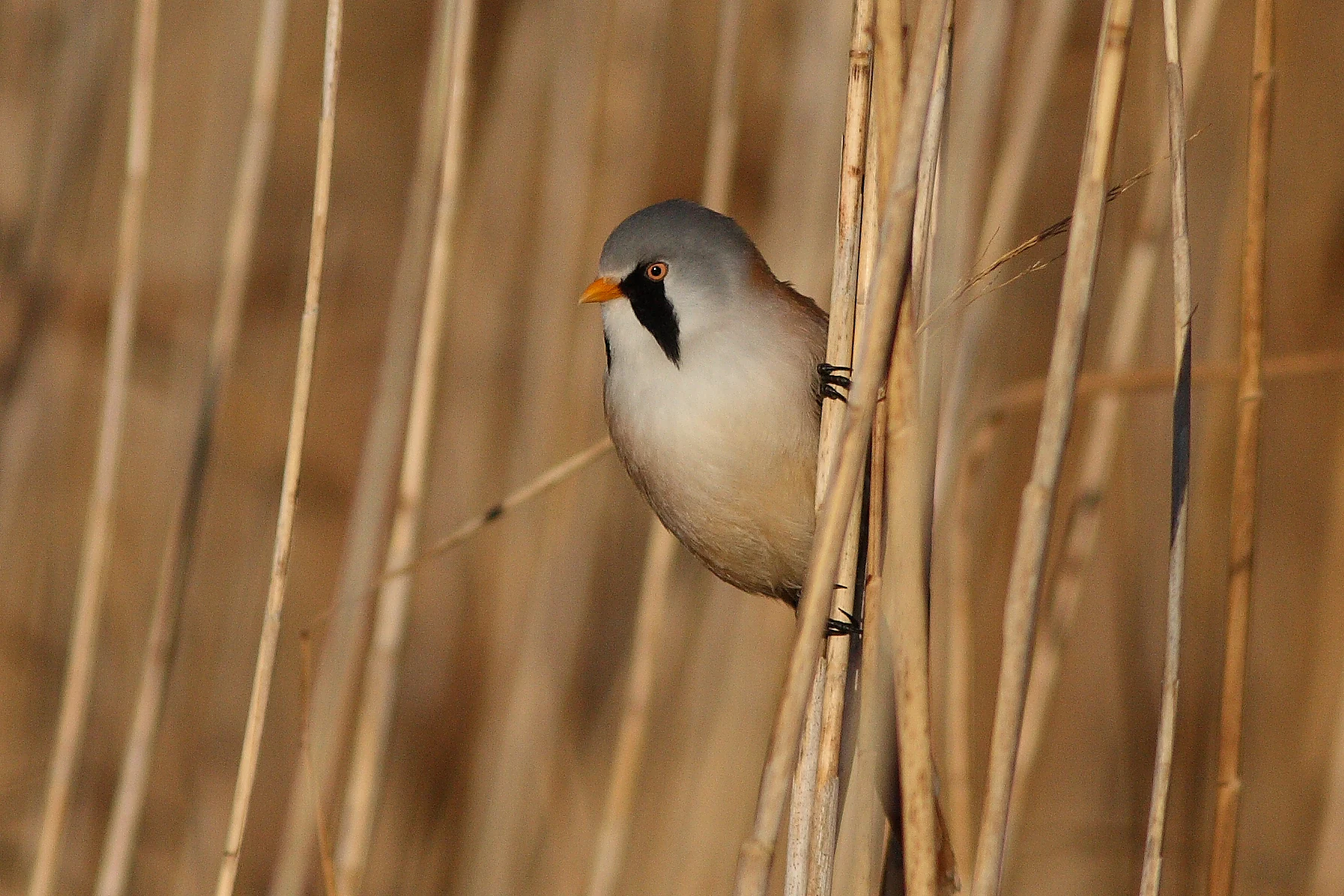
A male Bearded Reedling with a grey head, distinctive black mustache markings, and orange beak, perched vertically on reed stems.
A Bearded Reedling perched among reeds in the Oostvaardersplassen wetlands.

Oostvaardersplassen ecosystems, habitats, and plant life

Oostvaardersplassen is ecologically unusual for Dutch nature conservation. It combines active hydrological management with year-round large-herbivore grazing on one of the youngest polder landscapes in the country, producing an environment where pioneer vegetation, reed beds, willow scrub, and grazed grassland all exist in close proximity. The result is a habitat mosaic that is unusually dynamic, with clear water-gradients ranging from permanent open water through seasonally flooded slik areas to dry shrub-rich grassland.

The area is anchored by a large international waterbird community, with greylag geese present in very high numbers each year. The reserve is also recognized for breeding populations of spoonbill, cormorant, great and little egret, marsh harrier, bearded reedling, bluethroat, and bittern. Successive periods of high water, drought, and recovery have been shown to support a recurring cycle of different bird communities, with each species peaking at a particular water depth or vegetation stage.

Ecological connection zones, known as the Oostvaarderszone, link the marsh to the nearby Lepelaarplassen and to the Pampushout, allowing gradual colonization by additional species. The vegetation of the reserve is similarly transitional: original willow forests are opening up, elder is being heavily browsed by red deer, and clovers and other flowering plants are gradually returning to the former reed-covered grasslands. The area's fish fauna, although relatively limited to about fifteen species, also continues to evolve, and a fish pass installed in 2023 now makes the water accessible to migratory fish from the IJsselmeer.
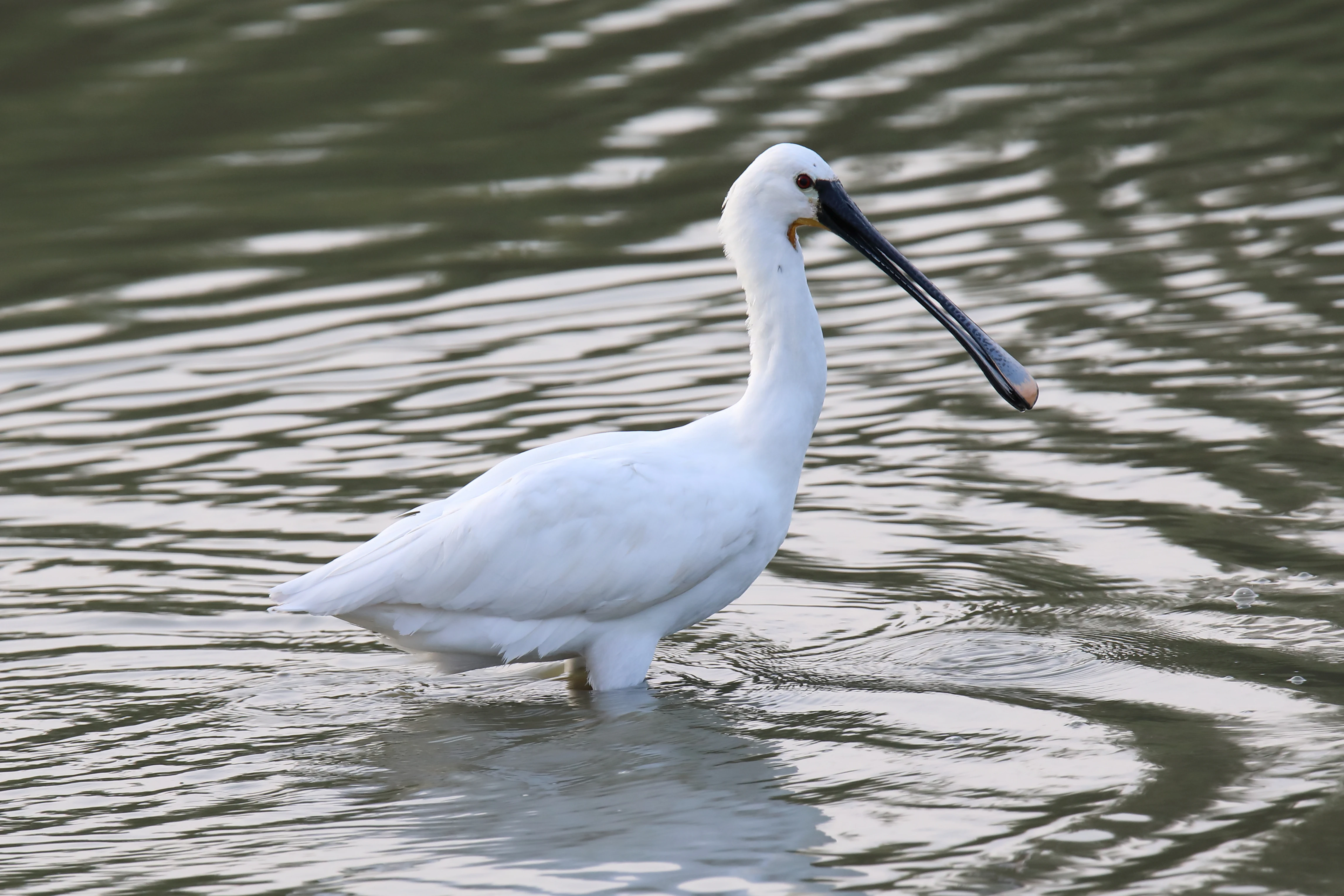
A white Eurasian spoonbill bird with a long flat-tipped black beak standing in shallow water.
A Eurasian spoonbill wading in the wetlands of Oostvaardersplassen.

Oostvaardersplassen wildlife and species highlights

Wildlife is central to the identity of Oostvaardersplassen, both as a bird sanctuary and as one of the most famous large-herbivore reserves in the Netherlands. The reserve supports roughly thirty key bird species, ranging from abundant species, such as the greylag goose, to nationally rare marsh birds, such as the bittern and the little egret.

Breeding species of particular interest include marsh harrier, spoonbill, cormorant, great egret, bearded reedling, bluethroat, and sedge warbler. The reed beds and wet grassland also support steltlopers such as the greenshank. Since the early 2000s, white-tailed eagle and osprey have become regular visitors, and the white-tailed eagle has established itself as a breeding bird since 2006. The first attempt at an osprey nest occurred in 2002, hinting at the area's potential as a future breeding site for this species.

In the dry sections, large herbivores dominate the visible wildlife landscape. Heck cattle and Konik horses, both hardy primitive-type breeds, shape grassland and shrub vegetation year-round. Red deer were added to the grazing regime in 1992 and play a major role in keeping elder scrub open. Roe deer are also present. Smaller fauna includes grass snake, present throughout the area, and beaver, which has established itself near the cormorant colony.
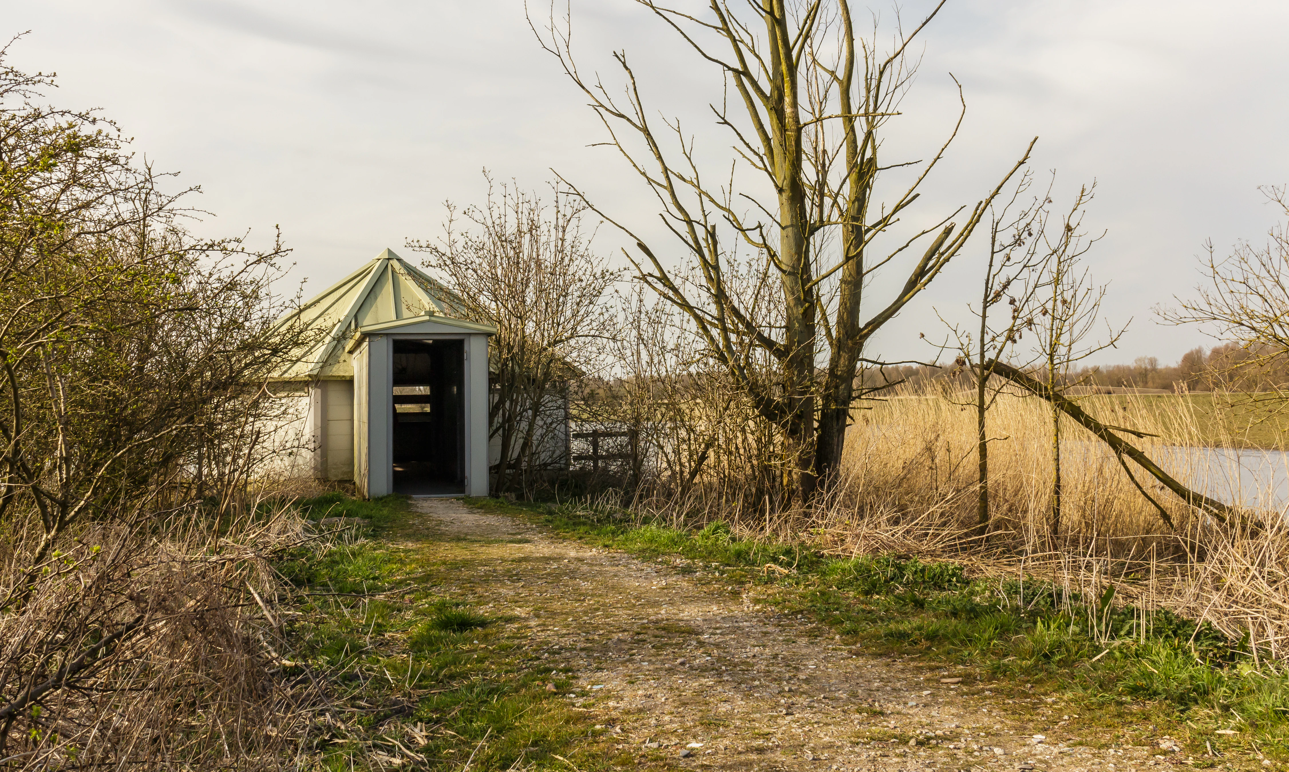
A small hexagonal bird-watching hide with a light-colored roof surrounded by shrubs, trees, and tall reeds near a water's edge.
The De Krakeend bird hide situated along the water in Oostvaardersplassen.

Oostvaardersplassen conservation status and protection priorities

Oostvaardersplassen is one of the most ecologically significant protected sites in the Netherlands. Almost the entire area is designated as a Bird Directive area and as a state nature monument, and in 2009 it was formally designated as a Natura 2000 site. The reserve also holds a European Diploma for Nature Management, awarded by the Council of Europe, which is reassessed every five years.

The reserve's conservation focus is twofold. First, the marsh and waterbird community is internationally important, and the Natura 2000 management plan prioritizes protection and maintenance of 31 priority bird species and their habitats. Second, the large-herbivore system is internationally recognized as a pioneering experiment in rewilding-style nature management, in which grazing animals are used to maintain open landscapes alongside hydrological processes.

Over time, conservation policy has shifted toward a balance between spontaneous natural processes and active intervention when needed to protect both habitats and animal welfare. After years of debate, current management targets a stable population of around 1,100 large grazers, regular monitoring of animals in poor condition, controlled supplementary feeding where appropriate, and the removal of animals that cannot recover. The area is now also embedded in the larger Nationaal Park Nieuw Land and connects ecologically with neighboring reserves.

Oostvaardersplassen cultural meaning and human context

Oostvaardersplassen is closely tied to Dutch land reclamation history. The reserve exists because of the construction of the Afsluitdijk and the drying of the Flevoland polders, which together represent one of the most ambitious human interventions in the Dutch landscape. The site stands as a cultural artifact of twentieth-century water engineering, in which land meant for industry and glasshouses became a marsh and ultimately a large national reserve.

Beyond its engineering origins, the area is also a touchstone in modern Dutch debate about nature management. For decades it has been the symbolic focal point of public discussions about rewilding, animal welfare, hunting versus non-intervention policy, and the moral responsibilities of state nature managers. Documentaries, parliamentary inquiries, advisory committees, and public protests have all been part of its recent history. Today the area is widely visited at its visitor centers near the Knardijk and on the Almere side, where walking routes and observation hides frame the landscape for the public.
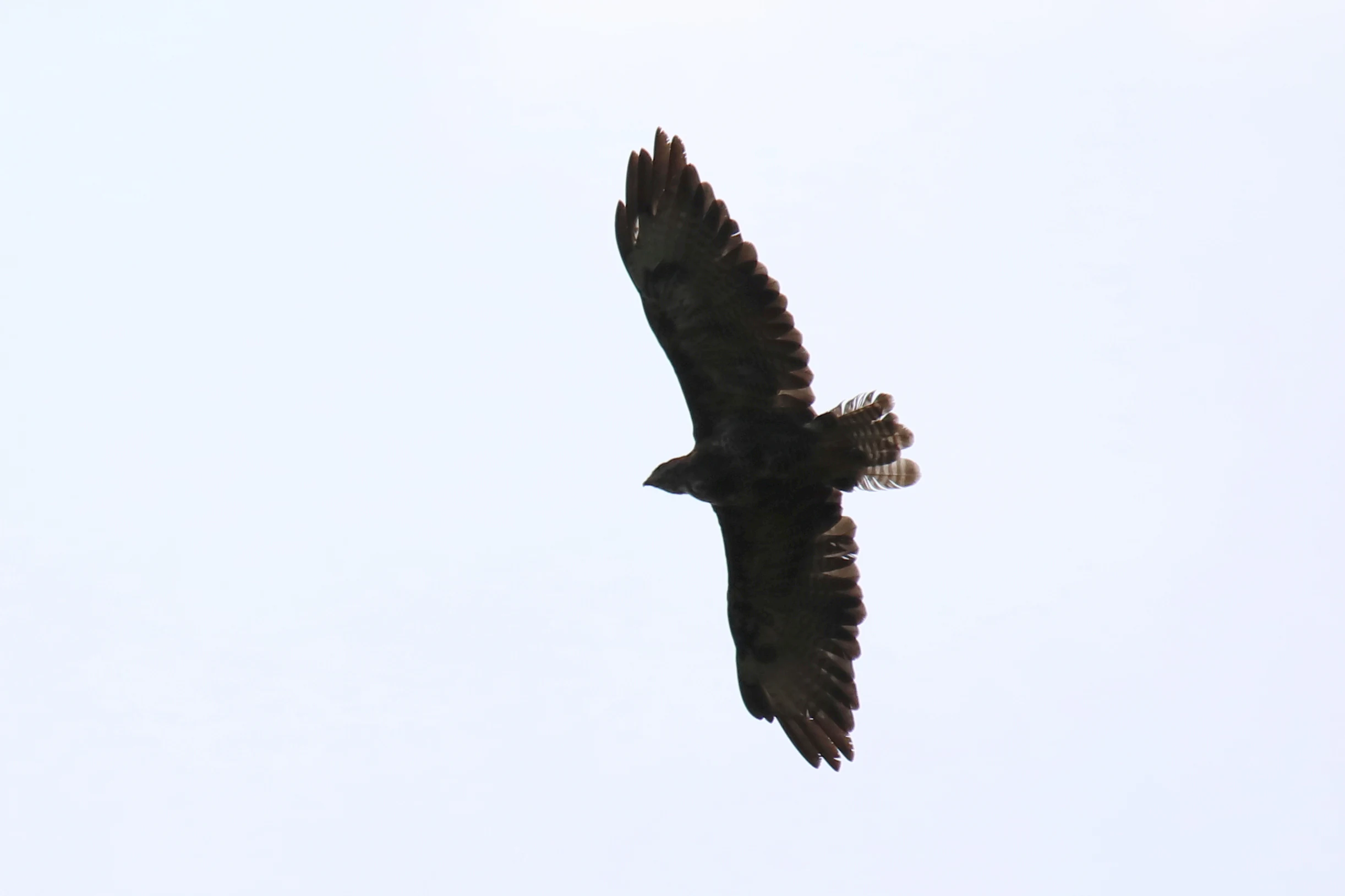
A large dark bird of prey soaring against a bright, overcast white sky.
A bird of prey in flight over the Oostvaardersplassen nature reserve.

Top sights and standout views in Oostvaardersplassen

The defining highlights of Oostvaardersplassen include its status as one of the internationally most important wetland reserves in the Netherlands, especially for greylag geese and breeding marsh birds such as spoonbill, cormorant, and bearded reedling. Equally prominent is the pioneering use of large herbivores in nature management: Heck cattle, Konik horses, and red deer in a self-regulating grazing system on a young polder landscape.

The reserve is notable for being part of the larger Nationaal Park Nieuw Land, for carrying multiple layers of European and national protection, and for its distinct hydrological management, with dynamic water levels producing a constantly shifting mosaic of open water, mudflats, reed beds, willow thickets, and grazed plains. Its combination of dynamic marsh ecology and visible large-grazer populations makes it a uniquely recognizable Dutch nature area.
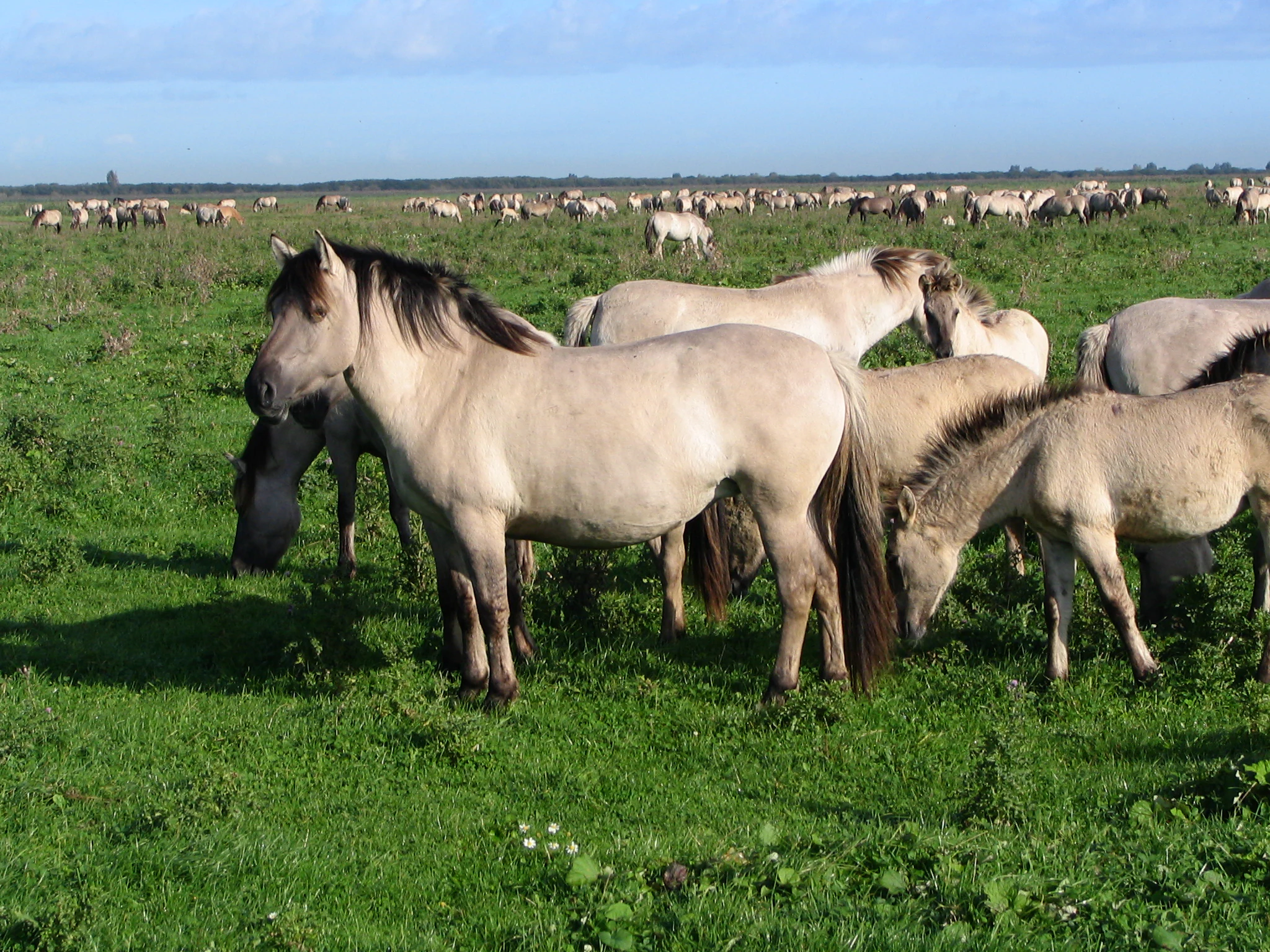
A group of light brown Konik horses with dark manes standing and grazing in a green, open field with a large herd visible in the background.
A herd of Konik horses grazing in the expansive grasslands of Oostvaardersplassen.

Best time to visit Oostvaardersplassen

The character of a visit to Oostvaardersplassen shifts with the seasons, primarily because of its waterbird population and the grazing herds. Winter and early spring are widely associated with the largest numbers of geese and other wintering waterbirds, and this is also when the largely open landscapes make large grazers easiest to see against the low vegetation.

Spring and early summer bring the most active breeding season in the marsh, when reed-bed and wet-grassland birds are most vocal. Late summer and autumn are often marked by lowered water levels and exposed mudflats, which can produce rich foraging activity and visible vegetation changes. Because of its young, open polder landscape, weather and wind can play a major role in whether marshes, waterbirds, and grazers are easy to observe from hides and viewpoints.
Monthly climate preview

Long-term representative temperature and precipitation patterns across twelve months

Oostvaardersplassen Climate Normals and Measured Annual Weather by Month

Oostvaardersplassen records long-term average monthly temperatures ranging from 2.45 degrees Celsius to 17.89 degrees Celsius alongside daily precipitation between 1.39 and 2.56 millimeters. Examining the complete monthly climate profile reveals the detailed annual rhythm for this protected landscape.
Annual mean10 °C
2 °C18 °C
Jan
Feb
Mar
Apr
May13°
Jun16°
Jul18°
Aug18°
Sep15°
Oct11°
Nov
Dec
Warmest month
July

17.9 °C

Coolest month
January

2.5 °C

Wettest month
December

2.6 mm/day

Driest month
April

1.4 mm/day

Park location guide

Geography guide, regional context, and park location map for Oostvaardersplassen

Oostvaardersplassen park geography, regions, and map view in Netherlands

Understand where Oostvaardersplassen sits in Netherlands through a broader geographic reading of the surrounding landscape, nearby location context, and its mapped position within the national park landscape.

How Oostvaardersplassen fits into Netherlands

The Netherlands is a low-lying coastal country in Northwestern Europe, famous for its extensive dike and canal systems that reclaim land from the sea. It consists of twelve provinces and is known for tulips, windmills, and cycling culture. The country is a founding member of the European Union with Amsterdam as its capital and The Hague as the seat of government.

Wider geography shaping Oostvaardersplassen in Netherlands

The Netherlands is located in Northwestern Europe along the North Sea coastline to the north and west. It borders Germany to the east and Belgium to the south. The country is notably flat, with a significant portion of its territory lying below sea level, protected by dikes and dune systems. It consists of twelve provinces and also includes overseas municipalities in the Caribbean.

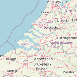
Map view of Oostvaardersplassen

Use this park location map to pinpoint Oostvaardersplassen in Netherlands, understand its exact geographic position, and read its mapped placement within the surrounding landscape more clearly.

Pigeon | © OpenStreetMap contributors

Location context for Oostvaardersplassen

Flevoland
Recorded earthquake history

Examine the Recorded Earthquake History Surrounding Oostvaardersplassen

Consult the historical catalogue of seismic events identified near the Oostvaardersplassen nature reserve. MoriAtlas provides this structured data to help map regional activity patterns and historical epicentre locations in the Flevoland landscape.

Oostvaardersplassen Earthquake History

Catalogued events

2 events

Strongest magnitude

Magnitude 3.1

Most recent event

Aug 6, 1994

This history includes earthquakes recorded inside the park or within 50 km of its borders

Explore protected area views, marsh habitats, and grazed plains across the reserve.

Oostvaardersplassen Photos and Scenery: Visualizing Dutch Wetland Landscapes

Examine detailed photographs of wet marshes, shallow waters, and open grasslands within Oostvaardersplassen to understand its evolving polders. Visual records reveal how dynamic water levels and grazing herds shape the character of this protected lowland environment.

A close up profile shot of a common kingfisher with bright blue feathers on its back and a rusty orange chest, perched on a thin vertical wooden branch against a blurred green background.

A white Great Egret stands in dark, still water, with its reflection mirrored on the surface.

A male Bearded Reedling with a grey head, distinctive black mustache markings, and orange beak, perched vertically on reed stems.

A white Eurasian spoonbill bird with a long flat-tipped black beak standing in shallow water.

A small hexagonal bird-watching hide with a light-colored roof surrounded by shrubs, trees, and tall reeds near a water's edge.

Bare, leafless trees silhouetted against a bright sunset sky in a flat, open landscape.

A large dark bird of prey soaring against a bright, overcast white sky.

A group of light brown Konik horses with dark manes standing and grazing in a green, open field with a large herd visible in the background.

A small wader bird, likely a sandpiper, standing on a muddy bank near tall reeds with its reflection visible in the calm water.

A close-up view of a carp with its mouth slightly open, surfacing in turbid water.

A black cormorant bird standing on a partially submerged branch in calm blue water.

Three dark-coated Heck cattle standing in a grassy meadow with bare trees in the background.

A group of light brown Konik horses grazing and resting in a green meadow with a small body of water and a treeline in the background.

A wide view of a shallow wetland area in the Netherlands with a large flock of geese swimming and wading in the water, and a field of grass with grazing animals in the distance.

Two red deer standing in a green meadow with one deer looking directly at the camera.

A wetland scene with tall, thin deciduous trees behind a thick patch of dry reeds, with green grass in the foreground.

Park atlas

Compare regional wetland reserves and protected landscapes across the polder terrain

Explore Parks Near Oostvaardersplassen and Surrounding Protected Areas

Continue exploring regional park geography by comparing adjacent wetland reserves and protected landscapes situated near Oostvaardersplassen. Broaden your geographic analysis by examining connected conservation areas and similar lowland ecosystems throughout the surrounding territory.
National parkFlevoland
Park boundaries overlap#1 closest

North

Nieuw Land National Park: Mapped Wetland Landscape on Flevoland's Reclaimed Land

Protected area geography and ecological discovery in the Netherlands

Nieuw Land National Park offers a distinctive protected landscape forged on land recently reclaimed from the sea in the Dutch province of Flevoland. This national park is characterized by its vast expanse of wetlands, artificial islands like the Marker Wadden, and critical importance for migratory bird populations. Delve into the park's geographic context and mapped features to understand its unique conservation value and role within the wider European atlas of protected areas.

Area
289 km²
Established
2018
IUCN
II
Relief
Lowland
Nature reserveFlevoland
3.2 km away#2 closest

Southwest

Lepelaarplassen Nature Reserve: Protected Polder Wetlands and Marshland Geography

Ecologically significant wetland habitats in Flevoland

Lepelaarplassen is a protected wetland reserve situated on the edge of the young Flevoland polder. Featuring a blend of excavated lakes, willow marshes, and expansive reed fringes, the area provides essential habitat for colonial breeding birds and migratory species. This detailed look covers the landscape structure and regional geography of one of the most vital wetland zones along the Oostvaardersdijk.

Area
5 km²
Established
1971
Relief
Lowland
Access
Moderate access
A watercolor landscape painting of a calm, shallow body of water surrounded by grassy, low-lying shores and soft, distant hills under a pale, white sky.
Protected areaNetherlands
5.3 km away#3 closest

North

IJsselmeer: Geography and Protected Wetland Mapping of the Netherlands

Engineered freshwater landscapes and polder geography

The IJsselmeer acts as the central freshwater reservoir for the Netherlands, providing a expansive, horizon-dominated landscape shaped by the Afsluitdijk. As an internationally recognized wetland, it supports diverse waterbird populations within its intricate system of dikes, former tidal channels, and emerging nature islands. This protected area stands as a definitive example of large-scale, adaptive hydraulic management in a low-lying coastal nation.

Area
1,133 km²
Established
1932
Relief
Lowland
Climate
Temperate
Nature reserveFlevoland
About 14 km away#4 closest

South

Eemmeer & Gooimeer Zuidoever: Mapped Geography and Protected Lake-Fringe Landscape

A Natura 2000 wetland reserve within the Flevoland region

The Eemmeer & Gooimeer Zuidoever nature reserve consists of two distinct yet interconnected lake basins that represent the evolving landscape of the central Netherlands. The area is defined by its shallow water fringes and marshy shorelines, which provide essential sanctuary for waterbirds. By tracing the boundary between engineered polders and older mainland provinces, this reserve provides a unique look at the ecological significance of the former Zuiderzee remnants.

Area
15.84 km²
Established
2009
Relief
Lowland
Climate
Temperate
Nature reserveFlevoland
14 km away#5 closest

West

Markermeer & IJmeer Nature Reserve: Mapping Dutch Freshwater and Polder Landscapes

A vast protected lake system shaped by historic water engineering

Spanning the distance between Flevoland and North Holland, Markermeer & IJmeer represents a significant freshwater protected area. The landscape features large lake basins framed by dike systems and recent island developments, offering a prime example of Dutch wetland geography and managed water ecosystems.

Area
79.553 km²
Established
2009
Relief
Lowland
Climate
Temperate
Nature reserveNetherlands
19 km away#6 closest

South

Arkemheen Nature Reserve: Geography and Protected Landscape Context in the Netherlands

Mapping medieval polder patterns and wetland bird habitats.

Arkemheen is a significant nature reserve in the Netherlands characterized by a flat, open polder landscape and historic fourteenth-century agricultural patterns. The area offers a distinct ecological profile, integrating freshwater border lakes with saline-influenced grasslands that support an internationally recognized population of meadow and wetland birds.

Area
14.3 km²
Established
1356
Relief
Lowland
Climate
Temperate
Protected areaNetherlands
20 km away#7 closest

Southeast

Veluwe: A Comprehensive Geographic Atlas of the Central Netherlands Protected Area

Glacial moraines, heathlands, and inland sand systems

Investigate the Veluwe, a premier protected area in the Gelderland province characterized by its historic push moraines and extensive ecological zones. The region encompasses significant sand drift complexes, dense woodlands, and vital spring-fed streams, offering a clear view of the diverse natural terrain found throughout the central Netherlands.

Area
1,000 km²
Relief
Upland
Climate
Temperate
Access
Easy access
Protected areaFlevoland
21 km away#8 closest

Northeast

Ketelmeer & Vossemeer: Protected Area Geography, Boundaries, and Landscape Context

Mapping freshwater lake dynamics in the Flevoland and Overijssel border region.

Ketelmeer & Vossemeer constitutes a significant Natura 2000 wetland complex where riverine floodplains meet engineered polder landscapes. This analysis provides insights into the site's role as a critical Important Bird Area and its position within the broader IJssel delta network of lakes and water channels.

Area
38.43 km²
Established
2013
Relief
Lowland
Climate
Temperate

Common questions about visiting, size, designation, and location context for Oostvaardersplassen

Oostvaardersplassen FAQs for park facts, access, geography, and protected area context

Find quick answers about Oostvaardersplassen, including protected-area facts, park geography, trail and visitor context, and how the park fits into its surrounding country and regional landscape.
MoriAtlas Explorer

Continue Your Protected Areas Search Across the Global Atlas

Deepen your exploration by continuing the structured search for national parks and protected areas worldwide. Utilize the comprehensive filtering capabilities to compare different conservation landscapes and refine your understanding of global park geography. Discover more about the distribution and characteristics of protected natural areas.

Global natural geography
