
Streams
Park geography
A technical overview of mapped land extent, mountain relief, and diverse natural features.
Patagonia National Park, Chile: Complete Geographic Profile and Protected Area Boundaries
Examine the physical characteristics and administrative geography of Patagonia National Park, located within the Aysén Region of Chile. This profile details the park boundary spanning 3045.28 square kilometers, along with recorded mountain peaks, riverine valleys, and temperate forest environments. Detailed mapping illustrates the complex intersection of steppe, wetland, and mountain terrain across the protected landscape.
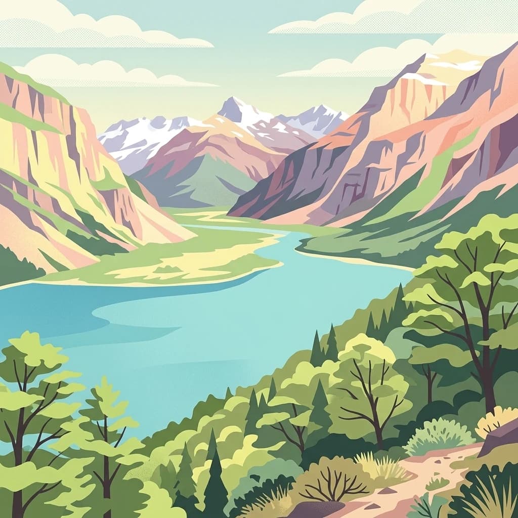
A transition zone between Patagonian steppe and southern beech forests in Chile's Aysén Region
Patagonia National Park
Patagonia National Park is a vast protected area in Chile's Aysén Region, spanning approximately 3,045 square kilometers across the Chacabuco Valley. This ecologically significant landscape forms a critical transition zone between the arid Patagonian steppe grasslands of Argentine Patagonia and the dense southern beech forests of Chilean Patagonia. The park was established in 2018 through the donation of private land by Tompkins Conservation, combining former ranchlands with existing national reserves to create one of South America's newest and most ambitious conservation areas. Its strategic location between General Carrera Lake to the north and Cochrane Lake to the south, reaching to the Argentine border, positions it as a vital corridor for wildlife movement and ecosystem preservation in the southern Andes.
- Location
- Chile
- Park type
- National park
- Established
- 2018
- Area
- 3,045.3 km²
Location overview
Regional placement within Chile and the Aysén Region
Geographic Profile of Patagonia National Park in Chile
Patagonia National Park is positioned in Chile, situated within the regional borders of the Aysén Region. Official territorial data outlines key national and regional memberships to establish clear administrative context.
- Countries
- Chile
- Regions
- Aysén Region
- Primary location
- Aysén Region
Boundary and coordinates
Explore mapped park geometry and derived spatial measurements
Patagonia National Park Boundary Map and Spatial Extent
Interactive boundary mapping reveals the complete spatial footprint of Patagonia National Park across the terrain. Accompanying factual panels outline computed area totals, coordinate limits, and geographic spans for detailed analysis.
- Boundary area
- 3,037 km²
- Boundary perimeter
- 769.3 km
- Northernmost point
- 46.5609° S
- Southernmost point
- 47.2959° S
- Easternmost point
- 71.7035° W
- Westernmost point
- 72.7192° W
- Geographic centre
- 46.9232° S, 72.2118° W
- North–south span
- 81.7 km
- East–west span
- 77.4 km
Terrain and natural features
Explore mountain terrain classifications and recorded natural features
Patagonia National Park Terrain and Named Natural Features
Patagonia National Park features a mountain relief classification encompassing diverse recorded natural formations. Linked feature cards supply names, types, measurements, and spatial relationships where documented.
Selected named natural features
Viewpoints
Mirador Lago Jeinemeni
Peaks
Cerro Pintura
2,259 m
Lakes
Laguna El Cangrejo
Valleys
Valle Hermoso
Peaks
Cerro El Sapo
1,443 m
Environmental setting
Subpolar climate zones, mountain relief, and temperate forest habitats
Patagonia National Park Environmental Classifications and Physical Settings
Recorded landscape features, habitat types, and relief classifications frame the physical setting as interpretive categories across the terrain. Connected atlas destinations link these environmental records to related protected areas.
- Relief
- Mountain
- Climate
- Subpolar
- Water
- Minor water
- Forest cover
- Partial forest
- Seasonality
- Seasonal
Landscape features
Mountains · Valleys · Forest · Grassland · Wetland · Lakes · Rivers
Habitat types
Grassland · Temperate broadleaf forest · Wetland · Riverine habitat · Steppe
Park atlas
Uncover the geographic spread of protected landscapes within Chile's Aysén Region and the broader Patagonian frontier.
Explore National Parks and Protected Areas Adjacent to Patagonia National Park, Chile
After exploring Patagonia National Park, discover other national parks and protected areas across Chile's Aysén Region and the broader Patagonian steppe. Compare diverse landscapes from arid grasslands to dense southern beech forests, gaining richer geographic context for the region's expansive protected-area networks.
National parkAysén del General Carlos Ibáñez del Campo Region
7.2 km away#1 closest
Northwest

Laguna San Rafael National Park: Explore its Mapped Boundaries and Patagonian Landscape
A National Park within Aysén del General Carlos Ibáñez del Campo Region.
Laguna San Rafael National Park stands as a key protected area within the vast geography of the Aysén del General Carlos Ibáñez del Campo Region. This entry provides an atlas-focused perspective, detailing the park's geographic significance, mapped natural landscapes, and its role as a vital conservation territory. Understand how this national park fits into the broader context of Patagonia's unique terrain and protected areas.
- Area
- 17,420 km²
- Established
- 1959
- IUCN
- II
- Relief
- Mountain

National parkAysén del General Carlos Ibáñez del Campo Region
34 km away#2 closest
North
Cerro Castillo National Park: Dramatic Granite Peaks and Patagonian Protected Landscape
Mapped geography and huemul conservation in Chile's Aysén Region.
Cerro Castillo National Park is a premier protected area in southern Chile, celebrated for its iconic Cerro Castillo granite mountain that dominates the landscape. This national park, spanning over 1,700 square kilometers in the Aysén del General Carlos Ibáñez del Campo Region, showcases a dynamic Patagonian terrain shaped by glaciers and rivers. Its significance extends to being a vital corridor for endangered huemul, offering critical habitat within a broader regional conservation strategy and the famous Route of Parks.
- Area
- 1,795.5 km²
- Established
- 1970
- IUCN
- II
- Relief
- Mountain
National parkArgentina
About 41 km away#3 closest
East

Patagonia National Park: A National Park Protecting the Argentine Patagonian Steppe Landscape
Explore the mapped boundaries of this semi-arid grassland ecosystem.
Patagonia National Park is a protected national park in Argentina established to preserve the representative Patagonian steppe ecosystem. Covering 528.11 square kilometers, it offers a deep dive into the unique semi-arid grassland environment, known for its rolling plains and wind-shaped terrain. This park provides crucial context for understanding the broader geography of southern Argentina and the conservation of its distinctive natural landscapes.
- Area
- 528.11 km²
- Established
- 2015
- IUCN
- II
- Climate
- Arid
National parkArgentina
49 km away#4 closest
South
Perito Moreno National Park: Argentina's Expansive Patagonian Protected Landscape
Explore its mapped terrain and significant protected area geography.
Perito Moreno National Park stands as a cornerstone of Argentinian conservation, safeguarding over 126,000 hectares of striking Patagonian mountain wilderness. This national park protects a rare ecological transition zone, blending wet Andean forests with dry steppe environments across its dramatic amphitheater-like terrain and dual-watershed hydrography. Its mapped boundaries encompass significant natural geography, offering a clear atlas view of protected Patagonian landscapes.
- Area
- 1,268.3 km²
- Established
- 1937
- IUCN
- II
- Relief
- Mountain
Protected areaSanta Cruz Province
About 91 km away#5 closest
East
Cueva de las Manos
Archaeological mapping in the Pinturas River Canyon
Cueva de las Manos, in Argentina. Landscapes: cliffs, caves, and rivers.
- Area
- 6 km²
- Established
- 1999
- Visitors
- 8K annual
- Relief
- Upland
National parkAysén del General Carlos Ibáñez del Campo Region
122 km away#6 closest
South
Bernardo O'Higgins National Park
Chile's largest protected area: a map of vast ice caps and fjords.
Bernardo O'Higgins National Park, in Aysén del General Carlos Ibáñez del Campo Region, Chile.
- Area
- 35,259 km²
- Established
- 1969
- IUCN
- II
- Visitors
- 36K annual

National parkAysén del General Carlos Ibáñez del Campo Region
194 km away#7 closest
North
Isla Magdalena National Park: Protected Area and Regional Geography Context
Discover the mapped landscape of this national park.
Delve into the protected landscape of Isla Magdalena National Park, a key national park situated in the Aysén del General Carlos Ibáñez del Campo Region of Chile. This entry provides essential geographic context, focusing on the park's mapped boundaries and its role within the Patagonian environment. Understand its distinct identity as a protected area for structured atlas exploration.
- Area
- 1,576 km²
- Established
- 1983
- IUCN
- II
- Relief
- Mountain
National parkAysén del General Carlos Ibáñez del Campo Region
206 km away#8 closest
North
Queulat National Park: Patagonian Andes Glacier and Rainforest Discovery
Mapped protected area in Aysén del General Carlos Ibáñez del Campo Region.
Queulat National Park is a vast protected wilderness in southern Chile, renowned for its dramatic glacial alpine terrain and lush temperate rainforests. The park's geography is defined by steep glacial valleys, ice fields, and the iconic Queulat Hanging Glacier cascading from sheer cliffs. Discover the mapped boundaries of this significant Patagonian national park, offering unparalleled insight into its unique ecosystems and dramatic landscapes shaped by ice and forest.
- Area
- 1,541 km²
- Established
- 1983
- IUCN
- II
- Relief
- Mountain
MoriAtlas Explorer
Continue Exploring Patagonia National Park's Protected Landscape and Map Context
To deepen your understanding of Patagonia National Park, continue exploring its specific geographic features and protected area boundaries. This national park offers valuable insights into the regional geography of Aysén Region, providing a foundation for atlas-driven discovery. Engage with its mapped landscape to appreciate its unique natural terrain and its role as a conservation area within Chile.
Browse next
Global natural geography
Explore related park routes
Explore MoriAtlas Global ParksBrowse All MoriAtlas ParksGlobal Park Map DiscoveryMoriAtlas: Browse All CountriesBrowse All MoriAtlas ContinentsNational Park Environment AtlasGrand Canyon National Park AtlasYellowstone National Park AtlasYosemite National Park Atlas and GeographySerengeti National Park AtlasGalápagos National Park Protected LandscapeBanff National Park Geography and AtlasKruger National Park Atlas EntryExplore Uluru-Kata Tjuta National Park GeographyPlitvice Lakes National Park AtlasFiordland National Park Protected LandscapeGreat Smoky Mountains National Park AtlasZion National Park Protected Landscape AtlasAfghanistan National Parks and Protected AreasAlbania National Parks and Protected AreasAlgeria National Parks and Protected AreasAmerican Samoa National Parks and Protected AreasAndorra National Parks and Protected AreasAngola National Parks and Protected AreasAntarctica National Parks and Protected AreasAntigua and Barbuda Park List