Mori Atlas logo
Park earthquake history

A comprehensive catalogue of historical seismic events mapped by epicentre distance from the park boundaries.

Recorded Earthquake History and Seismic Activity Near Peneda-Gerês National Park

This archival resource presents a transparent collection of recorded earthquake events that have occurred in the vicinity of Peneda-Gerês National Park. Each entry is associated based on its proximity to the mountainous granitic landscape, providing researchers with organized data on event timing, magnitude, and epicentre location. The collection functions as a geographic reference for seismic activity observed within the regional footprint of Portugal's oldest national park.

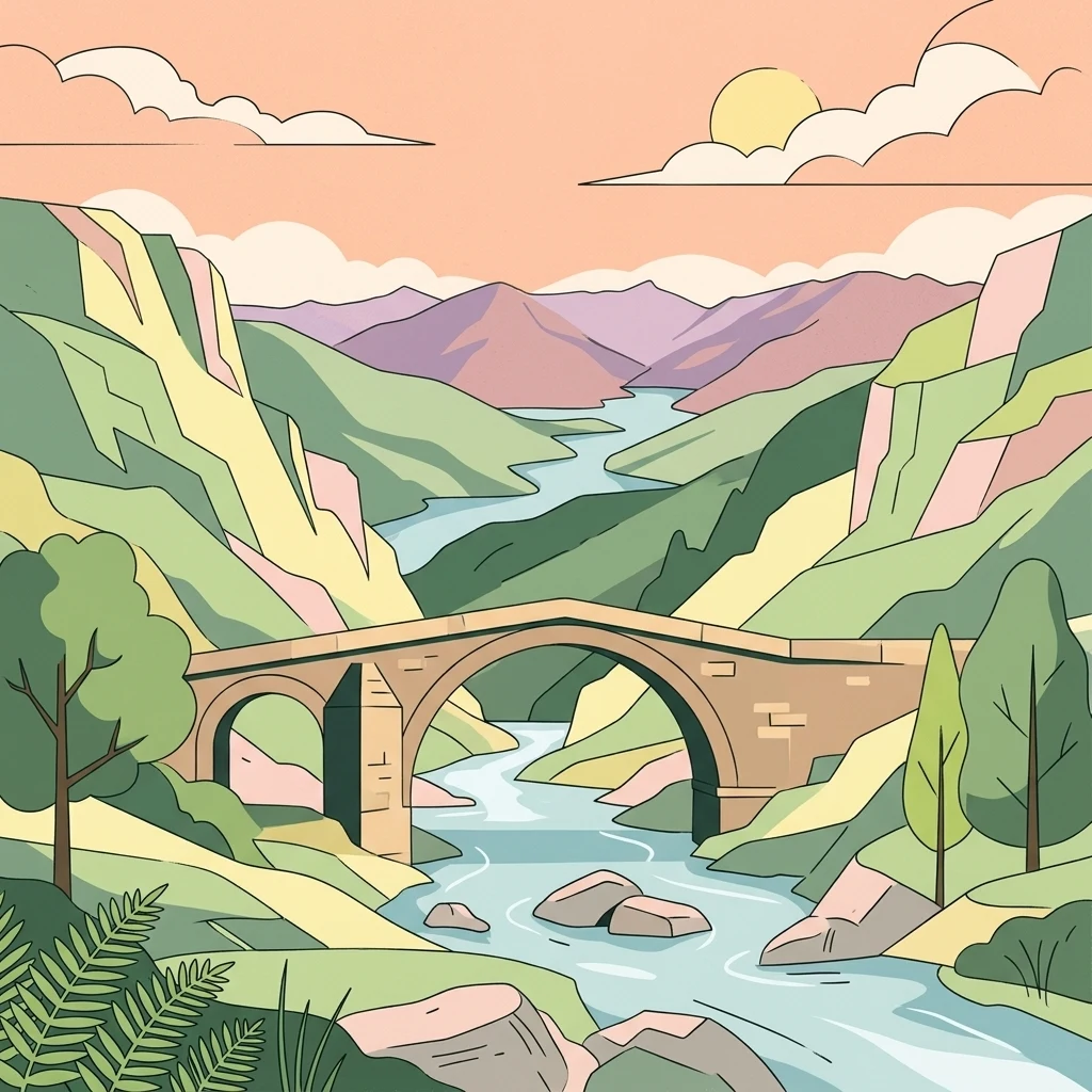
Illustration of a stone bridge spanning a river with mountains and trees in the background

Portugal's oldest national park where Atlantic and Mediterranean ecosystems meet beneath dramatic granite peaks

Peneda-Gerês National Park

Peneda-Gerês National Park is Portugal's oldest and only national park, established in 1971 to protect a spectacular mountainous landscape in the country's northern highlands. The park occupies approximately 696 square kilometres spanning the districts of Viana do Castelo, Braga, and Vila Real, forming a natural amphitheatre of granite peaks, deep valleys, and pristine rivers along the border with Spain. Its name derives from the two dominant mountain ranges—Serra da Peneda and Serra do Gerês—that anchor the protected area, complemented by the lesser but equally striking Serra Amarela and Serra do Soajo. The park occupies a remarkable biogeographical crossroads where Atlantic and Mediterranean climate systems converge, creating a zone of exceptional ecological richness. The granitic mountain massifs, formed during the Variscan orogeny between 380 and 275 million years ago, have been sculpted by subsequent glacial activity into the dramatic U-shaped valleys, polished rock surfaces, and moraines visible throughout the highlands. These ancient rocks host a complex of watersheds including the Lima, Cávado, and Homem rivers, whose tributaries cascade through steep valleys creating numerous waterfalls that rank among the park's most beloved features. Beyond its natural significance, the park encompasses a living cultural landscape where approximately 9,000 residents continue traditional agro-pastoral practices in scattered villages that have shaped the terrain for millennia. The region bears traces of human presence dating to 6000 BCE, including remarkable megalithic tombs and the well-preserved Roman road known as the Geira, which once connected the Roman cities of Astorga and Braga across these mountain passes.

Location
Portugal
Park type
National park
Established
1971
Area
695.9 km²
Highest point
1,545 m
Peneda-Gerês National Park Protected Landscape

Examine historical epicentre locations and calculated distances to the park boundary

Search Recorded Earthquake History for Peneda-Gerês National Park

Registered earthquake records are associated with Peneda-Gerês National Park based on spatial calculations of epicentre proximity to the protected mountain landscape. Each record in the database provides verified parameters including date, magnitude, depth, reported location, and calculated distance alongside direct source access.

Sort by
Magnitude
Location

This page describes catalogued earthquakes associated with the park by epicentre location and distance. It does not establish causation, assess current danger, or predict future earthquakes.

No earthquake records match the current filters

Park atlas

Expand your geographic discovery with other notable conservation areas and global parks

Discover Distinctive National Parks and Nature Reserves Beyond Peneda-Gerês

Broaden your geographic exploration by navigating toward a diverse selection of notable protected areas and national parks around the globe. Comparing different conservation landscapes helps build a comprehensive understanding of international park systems and global natural heritage.
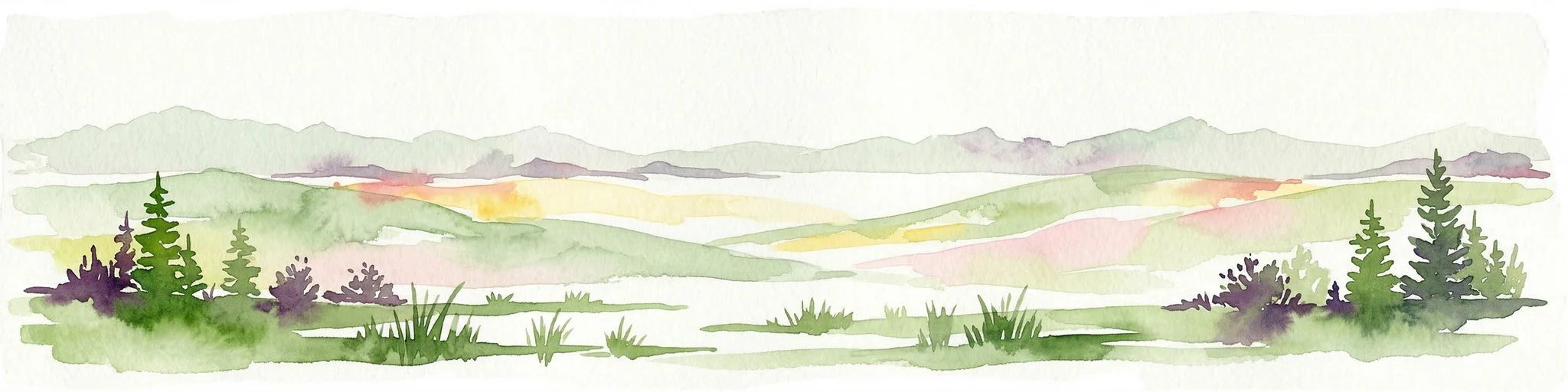
Watercolor landscape illustration featuring mountains, forests, fields, and trees
Protected area
36 km away#1 closest

Southeast

Alvão Natural Park Protected Area: Atlas Exploration of Northern Portugal's Mountain Geography

Discover dramatic landscapes and mapped terrain.

Alvão Natural Park is a protected area in northern Portugal distinguished by its stark geological contrasts: upper granite plateaus and steep schist lowlands. This unique geography supports diverse ecosystems and features the impressive Fisgas de Ermelo waterfall. Explore the park's mapped boundaries and its role as a significant protected landscape within the region, offering rich context for any geographic exploration.

Area
72.03 km²
Established
1983
IUCN
V
Visitors
29.6K annual
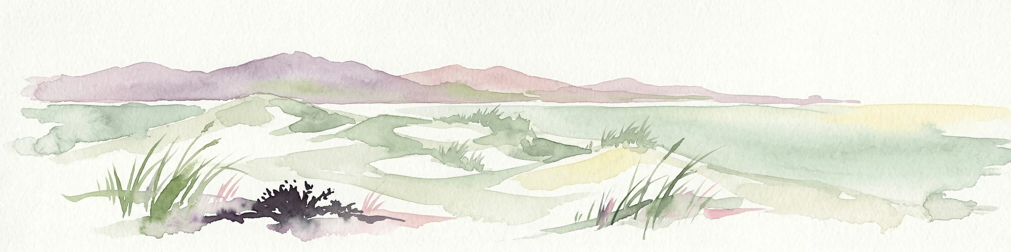
Watercolor painting of sandy dunes with patches of grass, distant mountains, and a body of water under a light sky
Protected landscapeEsposende
46 km away#2 closest

Southwest

Northern Littoral Natural Park Protected Landscape: Geographic Discovery and Atlas Context

Mapped protected areas and regional landscape discovery near Esposende.

Uncover the geographic identity of Northern Littoral Natural Park, a key protected landscape situated near Esposende. This MoriAtlas entry focuses on its mapped boundaries and regional significance, providing a factual basis for understanding its role within Portugal's network of protected areas. Explore the park's natural terrain and its context within the broader geography of the Norte region for comprehensive atlas-based discovery.

Area
87.62 km²
Established
1987
IUCN
V
Relief
Lowland
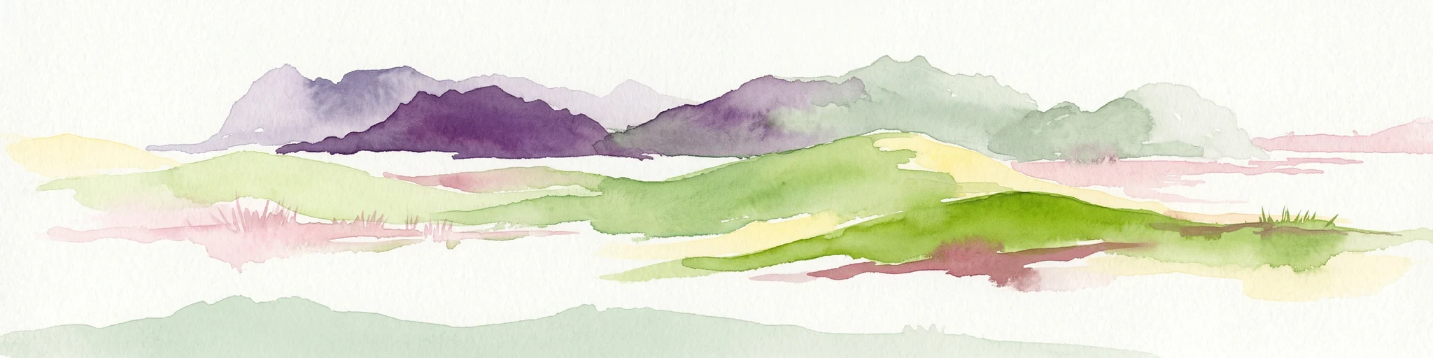
Watercolor illustration of rolling green hills and distant purple mountains under a light sky
National parkGalicia
47 km away#3 closest

Northwest

Atlantic Islands of Galicia National Park: Protected Archipelagos & Galician Coastline Geography

Explore mapped island ecosystems and protected marine areas.

Uncover the protected landscape of the Atlantic Islands of Galicia National Park, Spain's only national park in Pontevedra province. This atlas entry details the four distinct archipelagos, Cíes, Ons, Sálvora, and Cortegada, across the Rías Baixas. Discover the unique sea-land protected area, its rare bay laurel forests, significant seabird colonies, and the broader regional geography of Galicia.

Area
84.8 km²
Established
2002
IUCN
II
Visitors
472.3K annual
Watercolor depiction of green hills, a small pond, and distant mountains under a soft sky.
Protected landscapeBragança District
56 km away#4 closest

East

Montesinho Natural Park: Protected Landscape in Bragança District, Portugal

Explore mapped boundaries and regional landscape context.

Montesinho Natural Park is designated as a protected landscape in northeastern Portugal, located within the administrative region of Bragança District. This page serves as an entry point to understanding the park's protected area characteristics, its mapped geographic footprint, and its role in the broader natural landscape of the Trás-os-Montes region. Discover the atlas value of this significant protected territory and its relation to surrounding geography.

Area
742.25 km²
Established
1979
IUCN
V
Relief
Mountain
Watercolor illustration of a landscape with green mountains, a body of water, and colorful wildflowers in the foreground
Nature reservePortugal
130 km away#5 closest

South

Serra da Estrela Natural Park: Glacial Terrain and Highest Peaks in Portugal

Explore the dramatic geography of this nature reserve.

Serra da Estrela Natural Park is a significant protected landscape in Portugal, celebrated for containing the nation's highest peak and exceptional Quaternary glacial formations. The park's terrain includes dramatic valleys carved by ice, numerous glacial lakes, and a stark alpine plateau around Torre. This nature reserve preserves a unique environment shaped by both geological history and traditional pastoralism, offering rich mapped context for understanding Portugal's mountainous geography and protected areas.

Area
891.32 km²
Established
1976
IUCN
V
Visitors
7.6K annual
Watercolor illustration of a landscape with rolling hills, a body of water, and vegetation
Protected landscapePortugal
234 km away#6 closest

South

Aire and Candeeiros Ranges Natural Park: Protected Landscape and Regional Geographic Context

Explore the mapped boundaries and natural landscape of this Portuguese protected area.

Understand the Aire and Candeeiros Ranges Natural Park as a key protected landscape in Portugal. This page offers detailed geographic information, focusing on the park's mapped boundaries and its intrinsic connection to the surrounding regional geography. It serves as a portal for atlas exploration, providing structured data for users interested in the specific protected area and its landscape characteristics within the Iberian Peninsula.

Area
383.93 km²
Established
1979
IUCN
V
Visitors
31.9K annual
Watercolor illustration of a landscape with green hills, scattered trees, and distant mountains under a pink and yellow sky
Protected landscapePortalegre District
238 km away#7 closest

South

Serra de São Mamede Natural Park: A Protected Landscape Defined by Ecological Transition

Explore the unique mountain terrain and ecosystems of Portalegre District.

Delve into the geographic and ecological identity of Serra de São Mamede Natural Park, a significant protected landscape situated in Portugal's Portalegre District. This area is renowned for its dramatic quartzite ridges and its role as a crucial meeting point for Atlantic and Mediterranean plant communities, offering a unique atlas perspective on regional biodiversity. Examining its mapped boundaries and diverse terrain provides essential context for understanding its ecological importance and its distinct position within the Alentejo region's geography.

Area
560.6 km²
Established
1989
IUCN
V
Visitors
4.5K annual
Watercolor illustration of rolling green hills, a winding river, and a distant horizon with a soft sun
National parkExtremadura
258 km away#8 closest

Southeast

Monfragüe National Park: Dramatic Cliffs, Raptor Haven, and Extremadura's Protected Landscape

Discover its mapped terrain and unique geography in Spain.

Monfragüe National Park, situated in Extremadura, Spain, offers a compelling study in protected landscape geography. The park's identity is shaped by its formidable cliffs and river valleys carved by the Tagus, providing critical nesting grounds for European raptors. This MoriAtlas entry details the park's mapped boundaries and its significance as a vital protected area within the region. Users can explore the specific natural terrain and regional context that establish Monfragüe as a unique protected territory.

Area
179 km²
Established
2007
IUCN
II
Visitors
331.8K annual
MoriAtlas Explorer

Continue Mapping Peneda-Gerês National Park's Geographic and Protected Landscape Context

Delve deeper into the atlas of Peneda-Gerês National Park to understand its unique position within Portugal's geography. Examine the mapped boundaries of this protected landscape, its geological features, and the interplay of its Atlantic-Mediterranean ecosystems. Discover the rich natural and cultural heritage that defines this significant national park, offering a foundation for broader geographic and protected-area exploration.