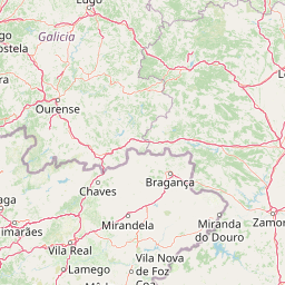

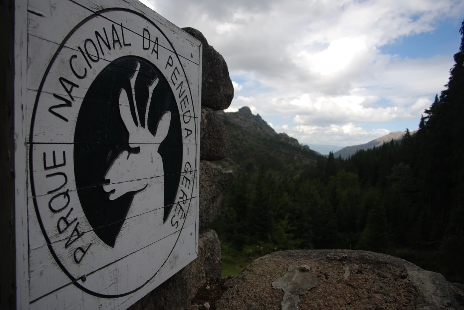
Why Peneda-Gerês National Park stands out
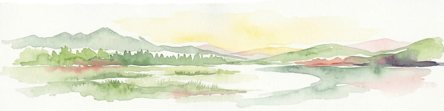
Peneda-Gerês is best known for its dramatic contrast between the harsh, windswept granite plateaus of the high serras and the lush, forested valleys below, a landscape that represents one of the last strongholds of typical Atlantic European flora in Portugal. The park contains Portugal's highest and most spectacular waterfalls, including those at Portela do Homem and along the Arado River. Its population of Garrano wild horses, ancestors of the Galician pony and Andaludian horse, has lived in the region since prehistoric times and remains a symbol of the park's cultural-natural identity. The endemic gold-striped salamander, found only in the northwestern Iberian Peninsula, inhabits the park's clear, oxygen-rich mountain streams. The traditional villages with their distinctive espigueiros (granaries), stone bridges, and medieval castles add a remarkable human dimension that distinguishes Peneda-Gerês from typical mountain parks.
Peneda-Gerês National Park history and protected-area timeline
The history of human occupation in what is now Peneda-Gerês National Park stretches back to approximately 6000 BCE, though the harsh conditions of the high mountains limited early settlement to the lower elevations and river valleys. Megalithic structures—dolmens and other tomb monuments—remain interspersed throughout the region, particularly near Castro Laboreiro and Mourela, testifying to the presence of early communities engaged in animal husbandry and primitive agriculture. Archaeological evidence suggests that forest clearance began during this early period, initiating the long transformation of the landscape that continues to this day.
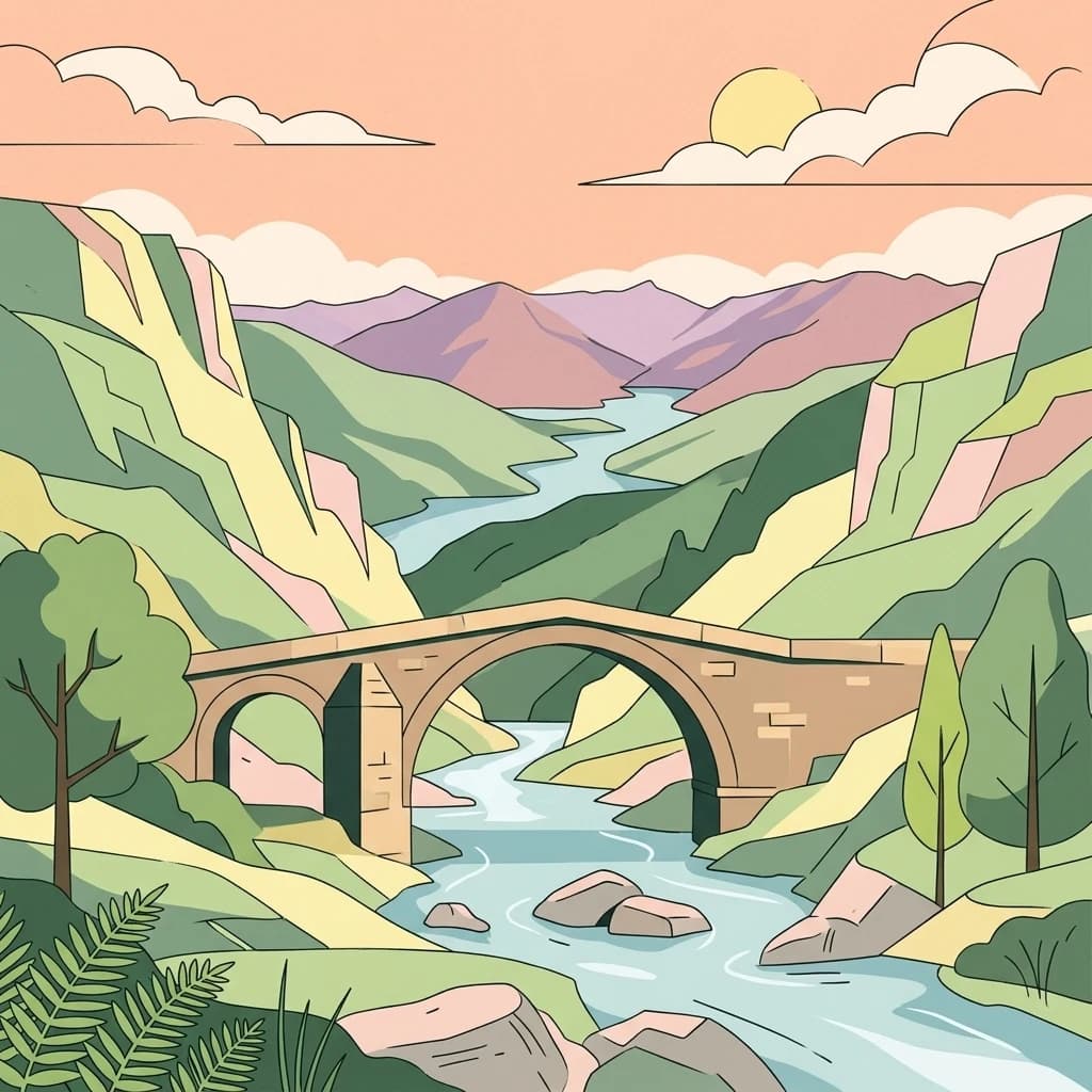
The Roman period left an indelible mark on the region through the construction of the Geira, a major Roman road connecting the civitates of Asturica Augusta (Astorga) and Braccara Augusta (Braga). Long stretches of this road survive along the Homem River, and numerous Roman bridges—including the Bridge of Cava da Velha, refined during the 7th or 8th century—cross the park's waterways. Mile markers (millenarium) document this Roman heritage. Following the Roman period, the Germanic Buri tribe settled the region between the Cávado and Homem rivers during the Suebi invasion of the Iberian Peninsula, giving their name to the area known as Terras de Bouro (Land of the Buri).
The reoccupation of mountain areas began in the 12th century and intensified in the 16th century with the introduction of crops from the Americas—maize, beans, and potatoes—which transformed agricultural practices and displaced pastures to higher elevations. The reforestation of uncultivated lands imposed by the Portuguese government in 1935 reduced available pastures and contributed to a rural exodus that accelerated after the 1950s. In 1970, the construction of the Vilarinho das Furnas dam flooded the village of Vilarinho da Furna, whose ruins emerge above the water in dry years—a haunting reminder of the human cost of development.
The national park was created under decree number 187/71 on 8 May 1971, envisioning a planned mountainous space that would conserve the environment while permitting human activities, educational projects, and scientific research. In 1997, the park was included in the Natura 2000 network and in 1999 was designated a Special Protection Area for Wild Birds. The park also forms part of the European Network of Biogenetic Reserves and was accepted into the PAN Parks network in 2007, which certifies protected areas meeting rigorous criteria for nature conservation, cultural services, and sustainability.
Peneda-Gerês National Park landscape and geographic character
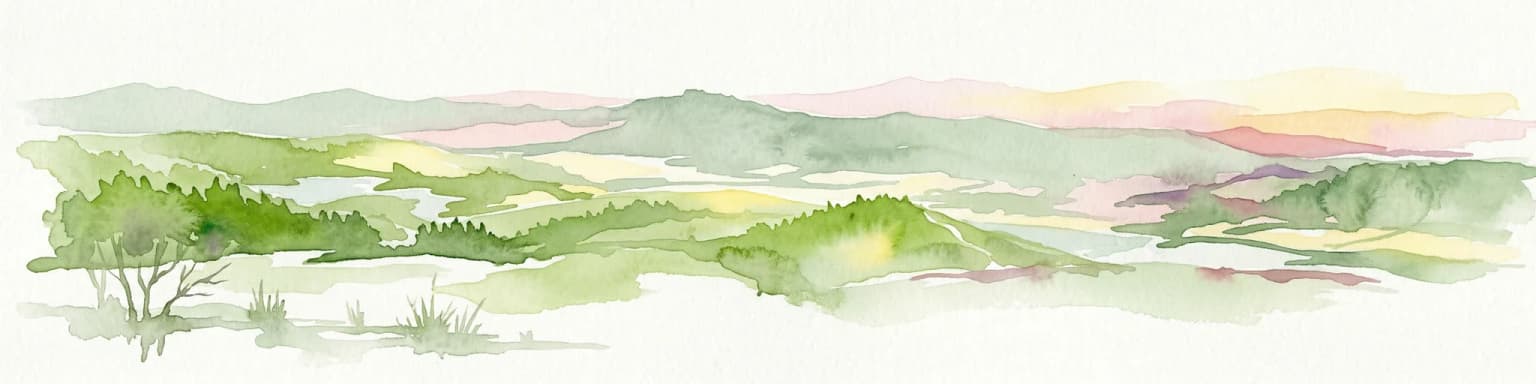
The landscape of Peneda-Gerês is defined by its dramatic granitic mountain architecture, where rounded boulders and steep peaks rise above U-shaped glacial valleys carved during the Pleistocene epoch. The park's four principal mountain ranges—Serra da Peneda (1,340m), Serra do Soajo (1,430m), Serra Amarela (1,350m), and the highest, Serra do Gerês (1,545m)—form a massive barrier that separates the Atlantic-influenced western lowlands from the more continental eastern plateaus. These massifs are composed of distinct granite types with different mineralogical and geochemical characteristics, from the Gerês granite structures to older heterogeneous formations at Mezio, Soajo, and Serra Amarela.
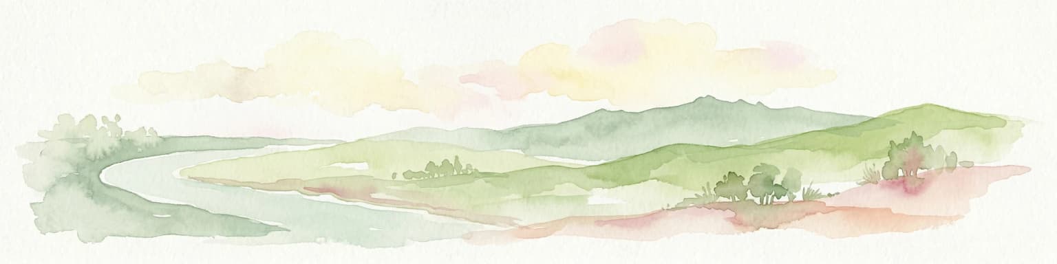
The valleys of the Lima, Cávado, and Homem rivers dissect the mountains in deep, straight cuts that expose the younger granite outcrops visible at higher altitudes. The Homem River valley is particularly notable for its spectacular glaciated form—a textbook example of U-shaped glacial carving now softened by centuries of water flow and vegetation. Throughout the park, brooks and waterfalls cascade down the mountain slopes, with the waters at Portela do Homem and the Arado River cascades ranking among the most visited features. The construction of hydroelectric dams at Alto Rabagão, Paradela, Caniçada, Vilarinho da Furna, Touvedo, and Lindoso has created reservoirs that now form part of the park's landscape character.
The human imprint on this landscape is equally striking. Terraces carved into hillsides to maximise arable land, traditional granite houses with thatched roofs, and the distinctive espigueiros—raised granaries for drying corn—shape the settlements. The espigueiros of Soajo and Lindoso, with their 24 and larger groupings respectively, represent the most impressive concentration of these traditional structures in the Iberian Peninsula. Stone bridges, including the Roman Bridge of Cava da Velha and the mediaeval Ponte da Mizarela, span the park's rivers, while the Castro Laboreiro and Lindoso castles provide fortified landmarks above the valley floors.
Peneda-Gerês National Park ecosystems, habitats, and plant life
The ecological character of Peneda-Gerês reflects its position at the biogeographical frontier between Atlantic and Mediterranean Europe, creating a remarkable diversity of habitats within a relatively compact area. The park's flora includes 823 vascular plant taxa occurring in 128 types of natural vegetation, with 627 species identified as under pressure or endangered, including 18 species considered at risk of extinction, 17 vulnerable, and one rare. Three plant species are endemic to the park.
The forests that clothe the lower valleys are dominated by an alliance between Pyrenean oak (Quercus pyrenaica) and European oak (Quercus robur), differentiated between the lower altitudes and exposed flanks (the Rusceto-Quercetum roboris) and those of typical Atlantic environments (Myretillo-Quercetum roboris). At upper altitudes, European oak forms distinct communities (Holco-Quercetum pyrenacia). The bush and shrublands that dominate approximately 74% of the park are characterised by dwarf gorse (Ulex minor), European gorse (Ulex europaeus), and heather species (Erica umbellata, Calluna vulgaris), with mixtures of common juniper and southern heather at higher elevations. The riparian zones along river courses support rare species including chain ferns (Woodwardia radicans), willows, downy birch, and Portuguese enchanter's nightshade.
The park contains over 24 species of ferns, adding to the lush green character of the forest understory. The marshlands and wetlands support specialised flora including common sundew (Drosera rotundifolia), pale butterwort (Pinguicula lusitanica), marsh violet (Viola palustris), and purple moor grass (Molinia caerulea). The high rainfall and humidity at altitude create conditions favourable for this exceptional fern diversity, while the transition from Atlantic to Mediterranean influence allows species from both biogeographical traditions to coexist.
Peneda-Gerês National Park wildlife and species highlights
Peneda-Gerês supports approximately 235 vertebrate species, of which around 200 are threatened or under protection, making it one of the most biodiverse areas in Portugal. The park's position at the edge of species distributions—where Atlantic and Mediterranean faunas overlap—creates conditions for the presence of species found nowhere else in the country.
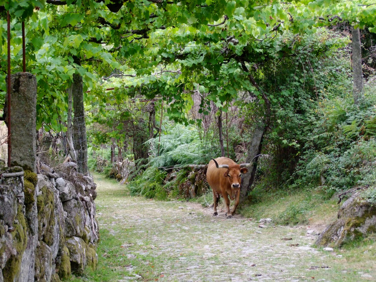
The mammalian fauna includes several species of particular conservation significance. The Pyrenean desman (Galemys pyrenaicus), a small aquatic insectivore restricted to the northern Iberian Peninsula and French Pyrenees, inhabits the park's clean mountain streams. European otter (Lutra lutra), though in decline across Europe, remains well-established along the watercourses. The gold-striped salamander (Chioglossa lusitanica) is endemic to the northwestern Iberian Peninsula and is highly dependent on clear, well-oxygenated streams in humid mountainous areas—though common in Gerês, it is considered vulnerable due to its restricted distribution. Roe deer are particularly abundant along the margins of the park, while the Iberian wolf (Canis lupus signatus) has suffered severe population collapse due to human encroachment and is now present only in limited numbers. Brown bears disappeared from the region in the 17th century, and the Portuguese ibex (Capra pyrenaica lusitanica)—locally known as the Gerês goat—was last seen in the 1890s, though Spanish ibex from Galicia have naturally recolonised the area with populations reaching approximately 100 animals by 2011.
The Garrano or Minho horse, a breed whose ancestors gave rise to the Galician pony and Andalusian horse, has lived in this region since prehistoric times and now roams semi-feral across the high pastures. The park also supports populations of the Castro Laboreiro dog, an ancient Portuguese breed associated with the village of that name. The avian fauna includes 147 species, with the Mourela region supporting approximately 36 nesting species. Notable species include the hen harrier, European honey buzzard, common snipe, red-backed shrike, yellowhammer, garden warbler, and whinchat—the latter finding its unique Portuguese nesting ground in the Mourela area. The waters teem with trout, and salmon still spawn in the park's rivers despite diminished populations.
Peneda-Gerês National Park conservation status and protection priorities
Peneda-Gerês holds multiple protected area designations that reflect its exceptional conservation value at both national and European levels. As Portugal's only national park and the country's oldest protected area, it serves as the flagship for Portuguese nature conservation. The park's inclusion in the Natura 2000 network since 1997 and its designation as a Special Protection Area for Wild Birds in 1999 integrate it into Europe's premier nature conservation framework. The park also forms part of the European Network of Biogenetic Reserves, recognising its importance for preserving genetic diversity.
The park's international recognition extends across the Spanish border through the Gerês-Xurés Transboundary Biosphere Reserve, created in 1997, which unites Peneda-Gerês with the Baixa Limia-Serra do Xurés natural park to create a coherent ecological unit spanning both nations. The park's acceptance into the PAN Parks network in 2007 certifies that it meets rigorous international standards for nature conservation, sustainable management, and visitor experience. The 2011 management plan established a five-tier protection system balancing biodiversity conservation with wilderness protection, dividing the park into total protection areas, partial protection areas (levels I and II), and complementary protection areas.
The park faces significant conservation challenges. Fire remains a major threat, with 1,098 fires recorded between 2000 and 2012, scorching approximately 38% of the total area—though some areas experienced multiple fires during this period. The intensive historical use of oak forests for fuel wood and agriculture has degraded much of the woodland to shrubland. Many of the park's endemic plant species face pressure from habitat change, with threats including both natural and human-caused fires, forestry activities, and agricultural conversion. The Barroso Agro-sylvo-pastoral System within the park was designated a Globally Important Agricultural Heritage System (GIAHS) by the UN Food and Agriculture Organisation in 2018, recognising the traditional farming practices that have shaped—and continue to shape—the cultural landscape while maintaining biodiversity.
Peneda-Gerês National Park cultural meaning and human context
Peneda-Gerês is distinguished among European national parks by its living cultural landscape, where approximately 9,000 residents maintain traditional practices that have shaped the terrain over millennia. The park's villages represent a continuum of human occupation from the Neolithic period through to the present, with the traditional settlement pattern reflecting centuries of agro-pastoral adaptation to the mountainous environment.
The village of Castro Laboreiro exemplifies this cultural heritage, crowned by a medieval castle and famous for the Castro Laboreiro dog—an ancient breed developed for guarding livestock. The tradition of transhumance persisted in this area until recent decades, with residents moving between homes above 1,000 metres (known as branda) from Easter to Christmas, and lower valley homes (inverneira) during winter. Soajo and Lindoso contain the most spectacular concentrations of espigueiros—raised granite granaries used for drying corn—anywhere in the Iberian Peninsula, with 24 structures at Soajo and a larger group at Lindoso, which also features a 13th-century castle.
The park contains important religious sites including the Sanctuary of Nossa Senhora da Peneda, a replica of the Bom Jesus sanctuary in Braga, and São Bento da Porta Aberta, a shrine of great popular devotion. The Roman Geira road and its milestone markers provide tangible evidence of the region's strategic importance in antiquity. The 2018 designation of the Barroso Agro-sylvo-pastoral System as a Globally Important Agricultural Heritage System recognises the integrated cultivation of trees alongside crops and livestock—a farming system in harmony with nature that supports the Barrosã cattle breed, whose long curved horns can exceed 100 centimetres in length and which enjoys protected geographical status under EU law.
Top sights and standout views in Peneda-Gerês National Park
Peneda-Gerês offers an exceptional combination of geological drama, ecological diversity, and cultural depth within Portugal's only national park. The spectacular waterfalls at Portela do Homem and along the Arado River, together with the vistas from the high serras overlooking deep glacial valleys, provide the park's most iconic scenery. The endemic gold-striped salamander in the park's clean mountain streams and the semi-feral Garrano horses roaming the high pastures represent unique biological treasures found nowhere else in Portugal. The traditional villages, particularly Castro Laboreiro, Soajo, and Lindoso with their medieval castles and remarkable espigueiros granaries, offer an unparalleled insight into centuries of mountain life. The Vilarinho das Furnas submerged village, visible when water levels are low, provides a haunting intersection of human history and nature. The Roman Geira road with its milestone markers and bridges, together with the megalithic dolmens scattered across the highlands, connect visitors to deep历史. The park's position at the Atlantic-Mediterranean biogeographical frontier creates a remarkable diversity of habitats and species within a single protected area, while the surrounding Gerês-Xurés Biosphere Reserve offers opportunities for cross-border exploration.
Best time to visit Peneda-Gerês National Park
The park can be visited year-round, though each season offers a distinctly different character. The high summer months of July and August bring the warmest conditions and fullest accessibility for hiking trails, but also the largest visitor numbers. Spring (April to June) brings carpets of wildflowers to the hillsides and full water flows in the streams and waterfalls following winter rains, making this season particularly rewarding for nature observation. Autumn (September to November) offers the golden hues of the oak forests, fewer visitors, and the atmospheric mists that form over the valleys—though rainfall becomes increasingly frequent. Winter transforms the high serras with occasional snow on the peaks and creates a stark, dramatic atmosphere, though some trails may be less accessible and facilities reduced. The climate varies significantly with altitude: the higher plateaus experience cool oceanic conditions with average highs around 11°C, while the valley floors enjoy warmer Mediterranean-influenced temperatures averaging 20°C. The wettest period generally runs from October through February, with the highest precipitation at altitude—over 3,200mm annually—creating the lush conditions that support the park's remarkable biodiversity.