
Streams
Park geography
Structured map data including area measurements, mountain elevations, and regional terrain
Geographic Profile and Mapped Boundaries of Puracé National Natural Park in Cauca Department
Discover the physical composition of Puracé National Natural Park, located within the Cauca Department of Colombia. This geographic record details the 830 square kilometer protected area, featuring high altitude peaks, volcanic systems including the Cadena Volcánica de los Coconucos, and diverse montane forest habitats.
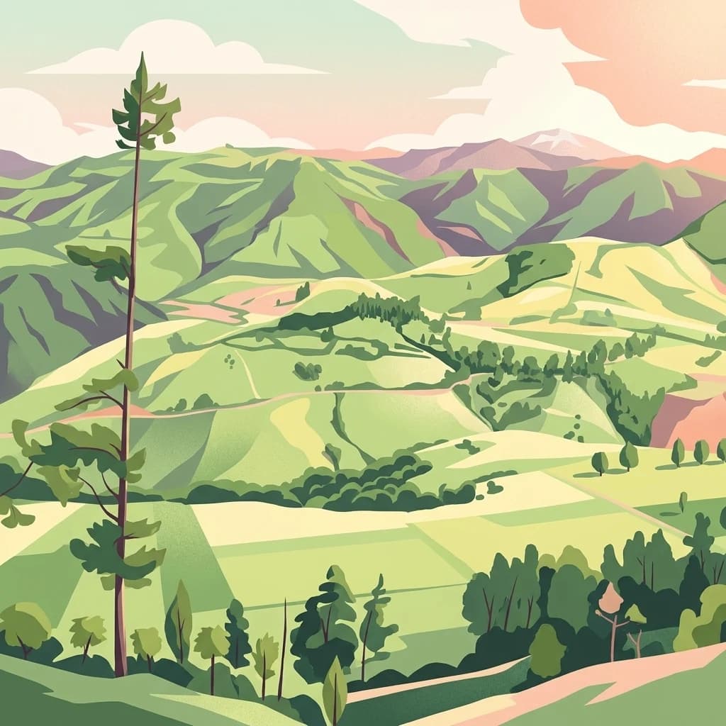
Colombia's volcanic highland sanctuary where four major rivers are born
Puracé National Natural Park
Puracé National Natural Park is a high-altitude protected area located in the Cordillera Central range of the Colombian Andes, approximately 44 kilometers southeast of the city of Popayán in Cauca Department. Established in 1961, it was the first national park created in the Cauca Department and remains one of Colombia's most ecologically and geologically significant protected areas. The park's defining feature is the active stratovolcano Puracé, standing at 4,580 meters above sea level and ranking among Colombia's most active volcanoes. This volcanic landscape supports an extraordinary hydrological importance, serving as the headwaters for four of Colombia's most significant rivers: the Magdalena, Cauca, Japurá, and Patía. The park encompasses diverse ecosystems ranging from cloud forests at lower elevations to paramo and glacial zones at higher altitudes, creating a complex ecological tapestry that supports remarkable biodiversity. The area also holds deep cultural significance as an indigenous reservation for the Coconuco ethnic group.
- Location
- Colombia
- Park type
- National park
- Established
- 1961
- Area
- 830 km²
- Highest point
- 4,580 m
Location overview
Regional placement within the Cauca Department of Colombia
Geographic Setting of Puracé National Natural Park in Colombia
Puracé National Natural Park lies within Colombia, situated inside the regional boundaries of the Cauca Department. Protected status applies entirely inland as a single country reserve with no marine or transboundary sectors.
- Countries
- Colombia
- Regions
- Cauca Department
- Primary location
- Cauca Department
- Geographic setting
- Inland
Boundary and coordinates
Mapped perimeter geometry and derived spatial measurements
Puracé National Natural Park Boundary Map and Spatial Extent
Interactive boundary mapping outlines the spatial footprint and geographic extent of the protected zone. Associated measurements detail total recorded area metrics alongside geographic center coordinates and span limits.
- Boundary area
- 898.1 km²
- Boundary perimeter
- 278.1 km
- Northernmost point
- 2.4032° N
- Southernmost point
- 1.8531° N
- Easternmost point
- 76.242° W
- Westernmost point
- 76.6309° W
- Geographic centre
- 2.1317° N, 76.4302° W
- North–south span
- 60.8 km
- East–west span
- 43.3 km
Elevation and terrain
Explore mountain summits, volcanic peaks, and interior water networks.
Puracé National Natural Park Elevation and Mountain Terrain Geography
Recorded elevation metrics outline the vertical relief profile across this mountain protected area. Linked feature cards detail specific volcanoes, streams, and lakes located within the landscape boundary.
- Maximum elevation
- 5,000 m
- Highest point
- 4,580 m
Selected named natural features
Streams
Quebrada Cocuy
Streams
Quebrada Panguimbio
Streams
Quebrada Aguablanca
Volcanoes
Pan de Azúcar
4,670 m
Lakes
Laguna San Rafael
Environmental setting
Recorded landscape features, montane habitats, and tropical relief categories
Puracé National Natural Park Environmental Settings and Mapped Classification Profile
Recorded mountain landforms, tropical climate zones, and forest classifications provide complementary ways to read the physical setting. Connected categories link directly to related protected areas and regional atlas destinations.
- Relief
- Mountain
- Climate
- Tropical
- Water
- Minor water
- Forest cover
- Partial forest
- Seasonality
- Year-round
Landscape features
Mountains · Volcano · Valleys · Rivers
Habitat types
Temperate broadleaf forest · Montane forest · Alpine meadow · Grassland · Riverine habitat
Park atlas
Trace the Protected Landscapes and Volcanic Terrain Near Puracé in Colombia's Central Andes
Explore National Parks and Protected Areas Near Puracé National Natural Park in the Colombian Andes
Browse national parks and protected areas geographically close to Puracé National Natural Park, a high-altitude wilderness known for its active volcano and vital river sources in the Colombian Andes. Continue exploring the region's diverse paramo, cloud forest, and volcanic landscapes by comparing adjacent protected areas, gaining deeper context for the broader Andean geography.
National parkNariño Department
About 48 km away#1 closest
Southwest
Doña Juana-Cascabel Volcanic Complex National Natural Park: National Park with Mapped Protected Landscape
Explore its volcanic terrain and geographic context in Nariño Department.
Doña Juana-Cascabel Volcanic Complex National Natural Park is a designated National Park offering rich opportunities for geographic exploration. Situated within Nariño Department, this protected landscape provides a unique lens through which to study regional natural features and mapped conservation boundaries. Its presence within Colombia's protected areas network makes it a key point of reference for understanding national park geography and landscape context.
- Area
- 0.267 km²
- Established
- 2007
- IUCN
- II
- Relief
- Mountain
National parkHuila Department
About 58 km away#2 closest
South
Cueva de los Guácharos National Natural Park: National Park and Protected Landscape Exploration
Understand its geographic setting within Huila Department.
Cueva de los Guácharos National Natural Park stands as a protected natural area within the atlas of Huila Department, Colombia. This page provides essential geographic context for the park, detailing its mapped boundaries and its status as a national park. Users can delve into the regional landscape, understand its place in the broader geographic context, and engage with structured data for protected area discovery. The focus remains on the park's physical presence and its atlas relevance, not visitor logistics.
- Area
- 90.78 km²
- Established
- 1960
- IUCN
- II
- Relief
- Mountain
National parkColombia
About 68 km away#3 closest
South
Serranía de Los Churumbelos Auka-Wasi National Natural Park: Colombia's Protected Landscape Atlas
Mapped national park boundaries and regional geography.
Understand Serranía de Los Churumbelos Auka-Wasi National Natural Park through its geographic context and protected landscape features. This atlas view highlights the park's mapped boundaries and its significance within Colombia's natural geography, offering detailed insights into its protected status and regional terrain.
- Area
- 562 km²
- Established
- 2007
- IUCN
- II
- Relief
- Mountain
National parkCauca Department
About 84 km away#4 closest
Northwest
Munchique National Natural Park: National Park with Key Protected Landscape Features
Explore mapped geography and protected area context.
Munchique National Natural Park is a designated National Park offering a distinct protected landscape within Colombia's Cauca Department. This page provides essential context for understanding its geographic footprint, regional setting, and its significance as a mapped natural area. Dive into the atlas details and explore the unique geography that defines this protected entity.
- Area
- 440 km²
- Established
- 1977
- IUCN
- II
- Relief
- Mountain
Protected areaNariño
About 99 km away#5 closest
Southwest
La Corota Island Flora Sanctuary: A Unique Protected Area within Colombia's Nariño Region
Explore its Andean cloud forest landscape and mapped island geography.
La Corota Island Flora Sanctuary is a critical protected area in Nariño, Colombia, celebrated for its distinctive status as the country's only lake island ecosystem supporting old-growth Andean cloud forest. This compact sanctuary provides a unique landscape context, safeguarding endemic plant species and diverse birdlife within its mapped boundaries. Its presence within Laguna de la Cocha highlights a special convergence of wetland and forest geography, offering insights for atlas exploration of protected lands.
- Area
- 0.152 km²
- Established
- 1977
- IUCN
- II
- Visitors
- 28K annual
Protected areaColombia
About 108 km away#6 closest
Southwest
Galeras Protected Area: Exploring Colombia's Mapped Natural Landscapes
Discover the geography and protected terrain of Galeras.
The Galeras protected area in Colombia offers a distinct opportunity for geographic exploration, focusing on its defined boundaries and the natural landscape it encompasses. This resource details the park's setting within the Colombian geography, providing a map-centric view of its protected status. Understanding Galeras contributes to a broader appreciation of protected lands across South America and their unique terrain.
- Relief
- Mountain
- Climate
- Alpine
- Access
- Highly restricted
Protected areaColombia
About 116 km away#7 closest
South
Santuario Orito Indí-Andé Fauna and Flora Sanctuary: A Protected Area's Geographic and Landscape Identity in Colombia
Explore mapped boundaries and regional natural terrain context.
Gain insight into Santuario Orito Indí-Andé Fauna and Flora Sanctuary, a vital protected area contributing to Colombia's conservation landscape. This entry focuses on its distinct geographic characteristics and mapped territory. Understand the park's place within the national atlas and its contribution to regional geographic knowledge. It provides a structured foundation for exploring the natural terrain and protected boundaries specific to this important Colombian sanctuary.
- Area
- 1,020 km²
- Established
- 2008
- Relief
- Mountain
- Access
- Access unknown
National parkValle del Cauca Department
About 128 km away#8 closest
North
Farallones de Cali National Park: Protected Landscape and Geographic Atlas
Explore mapped boundaries and regional context.
Farallones de Cali National Park offers a distinct protected landscape within Valle del Cauca Department. This page provides atlas-level detail on its geographic scope and mapped features, crucial for understanding its regional context. Dive into the protected-area specifics to grasp the natural terrain and conservation landscape that defines this significant Colombian national park.
- Area
- 1,500 km²
- Established
- 1968
- IUCN
- II
- Relief
- Mountain
MoriAtlas Explorer
Continue Exploring Puracé National Natural Park's Geographic and Protected Landscape Identity
Delve deeper into the structured geographic data for Puracé National Natural Park. Understanding its mapped boundaries, regional terrain, and protected-area status provides essential context for exploring Colombia's natural landscapes. Continue your discovery of this important national park and its contribution to the region's protected lands through detailed atlas exploration.
Browse next
Global natural geography
Explore related park routes
Explore MoriAtlas Global ParksBrowse All MoriAtlas ParksGlobal Park Map DiscoveryMoriAtlas: Browse All CountriesBrowse All MoriAtlas ContinentsNational Park Environment AtlasGrand Canyon National Park AtlasYellowstone National Park AtlasYosemite National Park Atlas and GeographySerengeti National Park AtlasGalápagos National Park Protected LandscapeBanff National Park Geography and AtlasKruger National Park Atlas EntryExplore Uluru-Kata Tjuta National Park GeographyPlitvice Lakes National Park AtlasFiordland National Park Protected LandscapeGreat Smoky Mountains National Park AtlasZion National Park Protected Landscape AtlasAfghanistan National Parks and Protected AreasAlbania National Parks and Protected AreasAlgeria National Parks and Protected AreasAmerican Samoa National Parks and Protected AreasAndorra National Parks and Protected AreasAngola National Parks and Protected AreasAntarctica National Parks and Protected AreasAntigua and Barbuda Park List