
Mori Atlas logo
Nature reserveQuarzsandgrube

A dense mosaic of quartz sand, shallow pools, and successional woodland within the Rhein-Sieg-Kreis region

Quarzsandgrube Nature Reserve: Mapping the Ecological Geography of a Post-Industrial Protected Landscape

(Naturschutzgebiet Quarzsandgrube)

The Quarzsandgrube stands as a distinct protected area in Bornheim, Nordrhein-Westfalen, where former mining activity has transitioned into a complex mosaic of early successional habitats. Within its compact boundaries, the site integrates open sandy ground, shallow water bodies, and varied scrubland. This unique geological layering of quartz, lignite, gravel, and clay supports specialized species and serves as an instructive example of conservation in a post-industrial setting.

nature reservepost-industrial habitatquartz sand quarryopen sand habitatpioneer vegetationsmall water bodies
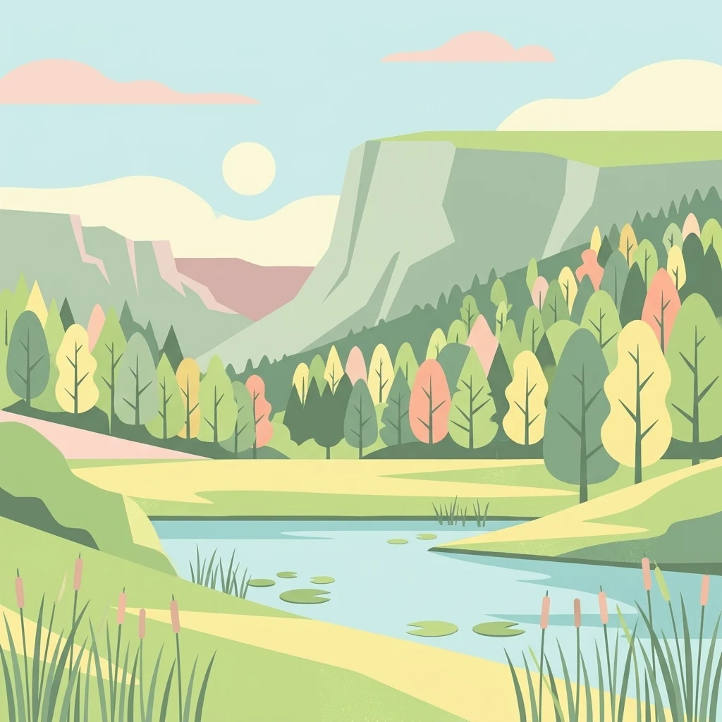
A flat-style digital illustration showing a calm pond in the foreground with reeds and lily pads, leading to a vibrant forest and high cliffs under a pale sun.

Quarzsandgrube

Nature reserve

Park overview

Structured park overview, official facts, and landscape profile for Quarzsandgrube Nature Reserve

Quarzsandgrube Nature Reserve park facts, protected area profile, and essential visitor context

Review the core facts for Quarzsandgrube Nature Reserve, including designation, size, terrain, visitor scale, habitats, and operating context in one park-focused overview.

About Quarzsandgrube Nature Reserve

Quarzsandgrube occupies a hilltop position in the agricultural and suburban landscape between Bornheim-Brenig and Roisdorf, on what was once a working quartz sand quarry. Although the site covers only about 29 hectares, its geological variety is unusually concentrated: sand, lignite, gravel, and clay lie side by side, generating a complex mosaic of microhabitats that has fascinated ecologists and conservationists in the region.

The site was actively mined for quartz sand until 1987, after which extraction ceased and the disturbed ground was left to recover through natural processes. Over the following decades, the combination of open sandy surfaces, exposed mineral substrates, and early successional vegetation produced conditions favorable to many species that struggle to survive in the intensively managed surroundings. In recognition of this ecological value, the area was formally designated as a nature reserve in 1994 and assigned the identifier SU-048 by the North Rhine-Westphalian nature conservation authorities.

Today the reserve is appreciated as a tightly packed example of how former extraction sites can evolve into valuable secondary habitats. The vegetation includes pine-oak coppice and middle forests, fully shrubbed-over orchard fallows, broom bushes, black locust groves, a small remnant ash stream forest, and former fallow land that has been partially reforested with broadleaf species. The reserve is fenced to protect sensitive ground conditions, and visitors experience it from above through the Fietzeks Weitsicht viewing platform rather than by walking through the interior.

Quick facts and research context for Quarzsandgrube Nature Reserve

Quarzsandgrube is a protected nature reserve of around 29 hectares located in the Brenig district of Bornheim, on a hill east of the town at the border with Roisdorf. It carries the official NRW designation SU-048 and is classified under IUCN Category IV as a Habitat/Species Management Area. The reserve sits on a former quartz sand quarry that was actively mined until 1987 and now supports a mosaic of pine-oak coppice, broom scrub, locust groves, ash woodland remnants, and overgrown orchard fallows. It is enclosed by fencing and can be observed from a viewing platform called Fietzeks Weitsicht, with guided explorations offered on a regular basis.

Protection and recognition

Examine documented conservation standing and international database registries.

Quarzsandgrube Protection Status and Official Protected Area Records

Quarzsandgrube brings together official protection status records, management details, and international database tracking. Review structured administrative criteria and verified designation parameters for this protected landscape.

Protection details

WDPA ID
165055
Park context

Deeper park guide and search-rich context for Quarzsandgrube Nature Reserve

Quarzsandgrube Nature Reserve history, landscape, wildlife, and travel context

Explore Quarzsandgrube Nature Reserve through its history, landscape character, ecosystems, wildlife, conservation priorities, cultural context, and seasonal travel timing in a structured park guide built for atlas discovery and search intent.

Why Quarzsandgrube Nature Reserve stands out

The reserve is especially known for the ecological richness that has arisen on a small former industrial site. The close interweaving of sand, lignite, gravel, and clay creates a patchwork of biotopes that supports rare hymenopterans and ground beetles on open ground, amphibians in shallow unshaded pools, and various successional woodland types. Its identity is defined less by scenic grandeur than by its dense habitat mosaic and its importance as a refuge for early successional species.
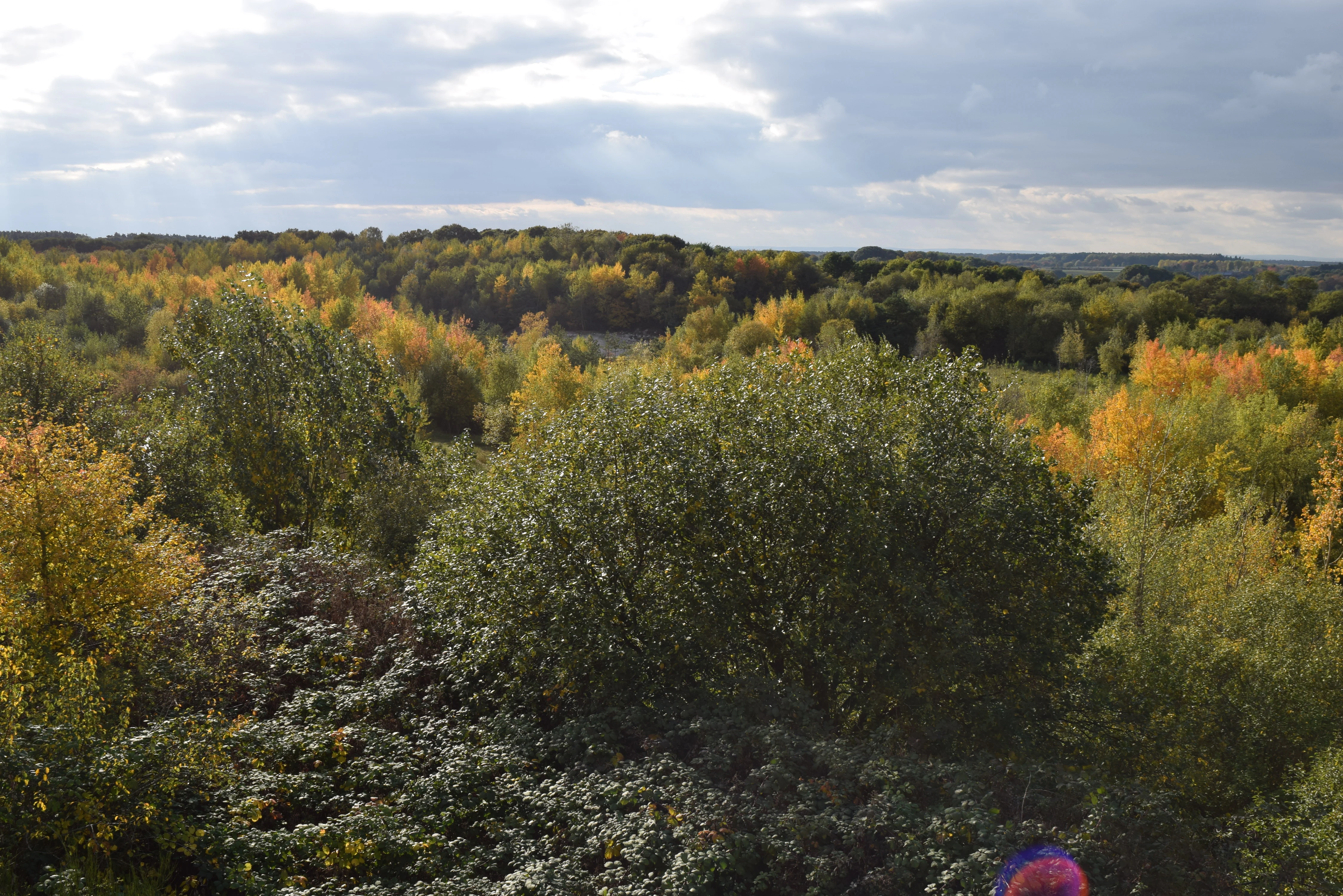
A wide, elevated view of a forest area during autumn with green and yellow trees under a cloudy sky.
Elevated view of the Quarzsandgrube nature reserve landscape during autumn, seen from the Fietzeks Weitsicht observation tower.

Quarzsandgrube Nature Reserve history and protected-area timeline

The Quarzsandgrube has its origins as a working quartz sand quarry within the broader geological context of the Rhineland terraces. Active extraction of quartz sand continued in the area until 1987. Once mining operations ended, the disturbed land was left largely untouched, allowing natural regeneration to take place. Within a few years, open sandy surfaces, newly formed pools, and early successional plant communities began to develop across the former extraction area.

Conservation interest grew as the site's ecological potential became apparent. In 1994 the area was officially designated as a nature reserve, classified under IUCN Category IV as a Habitat/Species Management Area, and incorporated into North Rhine-Westphalia's system of protected areas under the identifier SU-048. The lower landscape authority of the Rhein-Sieg-Kreis has been responsible for its administration since designation. Over time, conservation organizations including the BUND NRW Naturschutzstiftung have used the site both as a practical conservation project and as an informal geological open-air museum illustrating the area's substrate diversity.

Quarzsandgrube Nature Reserve landscape and geographic character

The Quarzsandgrube lies on a hill east of the Brenig district of Bornheim, where the steep slopes of an older terrace edge form the northern and western boundary of the reserve. This terraced setting gives the small area a distinct topographic frame, with a flat plateau above and a sharply descending slope toward the lower land.

The geological substrate is the key to the site's landscape character. Quartz sand dominates the former quarry workings, but nearby exposures and layers include brown coal (lignite), gravel, and clay. The resulting terrain is uneven and varied at a small scale, with exposed pale sandy surfaces, water-filled hollows, and patches of darker, richer soils. The elevation ranges from about 120 meters on the lower edges to roughly 161.6 meters at the highest point, with an average of around 150 meters.

The reserve is bordered to the southeast by the An der Roisdorfer Hufebahn nature reserve and to the southwest by the Mühlbachtal nature reserve, situating the Quarzsandgrube within a network of small protected sites along the terrace slopes of the Rhein-Sieg-Kreis.
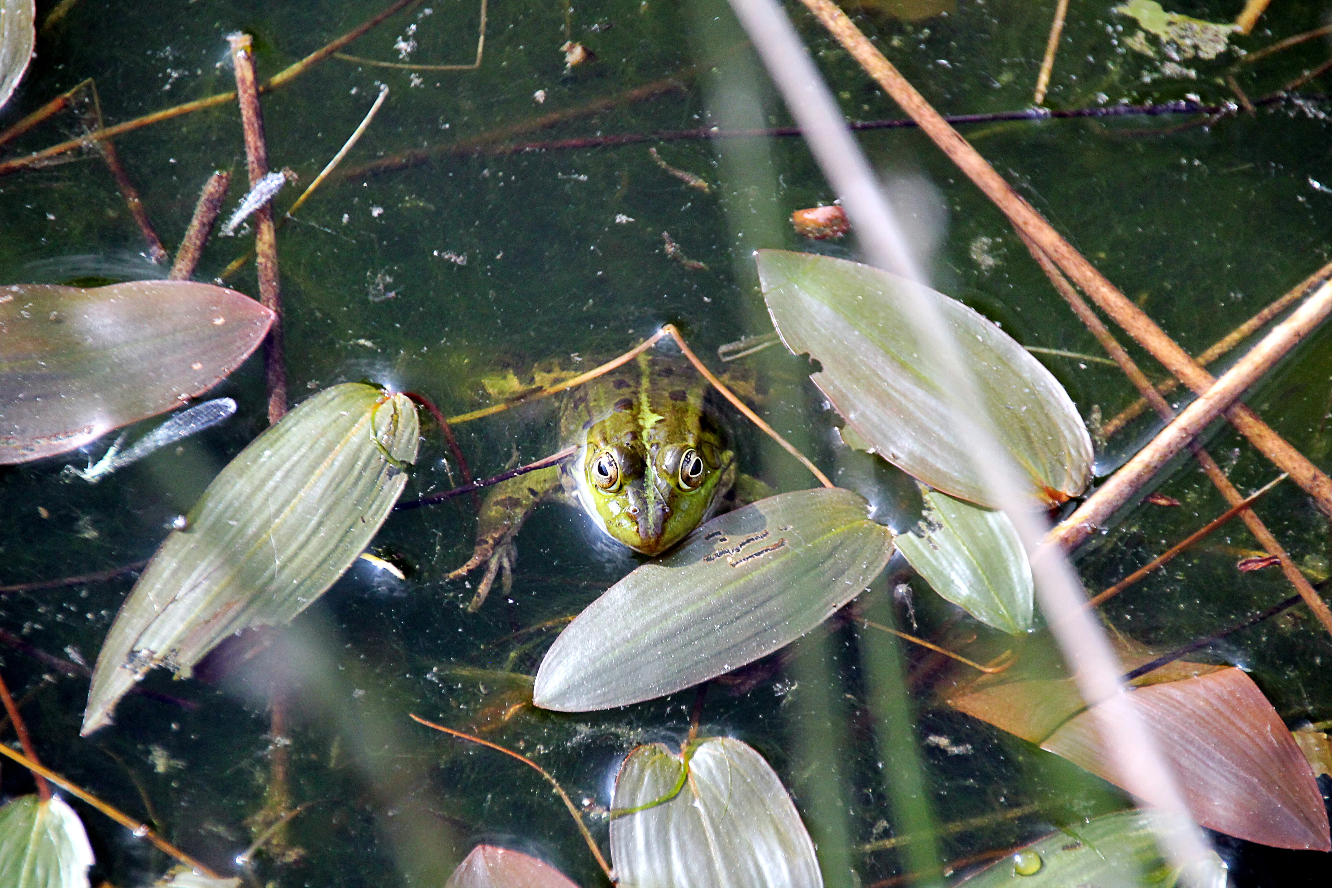
A green pool frog partially submerged in a pond surrounded by aquatic leaves and stems.
A pool frog resting in the vegetation-filled pond of the Quarzsandgrube nature reserve.

Quarzsandgrube Nature Reserve ecosystems, habitats, and plant life

Ecologically, the Quarzsandgrube is defined by the close coexistence of very different habitats within a compact area. The former quarry floor contains open sandy ground with sparse, pioneer vegetation, while shallow pools and seasonal water bodies add aquatic and wetland character. Around and between these open areas, a varied wooded and shrubby matrix has developed.

The site includes pine-oak coppice woodlands and middle forests, broom-dominated scrub, black locust groves, an ash stream forest remnant, and abandoned orchard ground that has become fully overgrown. Parts of the former fallow land have been reforested with deciduous trees. The result is a layered vegetation pattern in which dry, sunny open patches lie within easy reach of shaded woodland edges and water features.

A key conservation objective is to maintain early successional stages, including open soils and pioneer plant communities, alongside established woody habitats. This combination of openness, moisture, and substrate diversity is central to the reserve's ecological identity and explains its disproportionate biodiversity within the surrounding agricultural and suburban landscape.
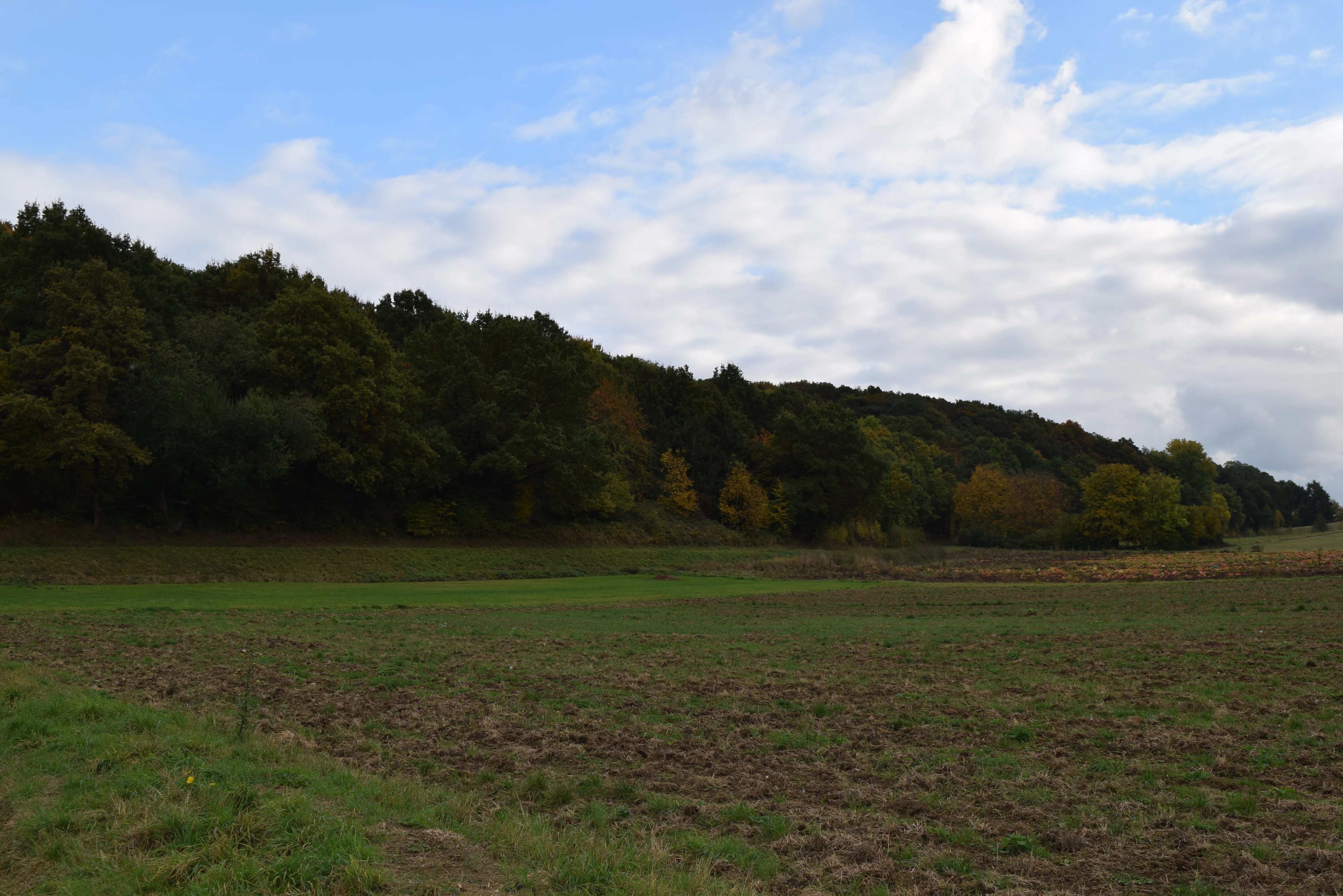
A wide, eye-level shot of a rural landscape with a large, forested hillside rising above open fields under a partly cloudy sky.
A view of the landscape at the Quarzsandgrube nature reserve in Germany.

Quarzsandgrube Nature Reserve wildlife and species highlights

The wildlife profile of the Quarzsandgrube is closely tied to its mosaic of open and wet habitats. Rare hymenopterans (bees, wasps, and related insects) and ground beetles depend on the warm, sun-exposed open sandy areas that still resemble early successional conditions. Dragonflies such as the early Adonis dragonfly (Frühe Adonisjungfer) are documented breeding in the reserve's pools, and amphibians, including the common pond frog (Teichfrosch), use shallow, unshaded water bodies for reproduction. Together these groups illustrate how a relatively small disturbed site can support species that depend on dynamic and early stage habitats not commonly preserved in intensively used countryside.
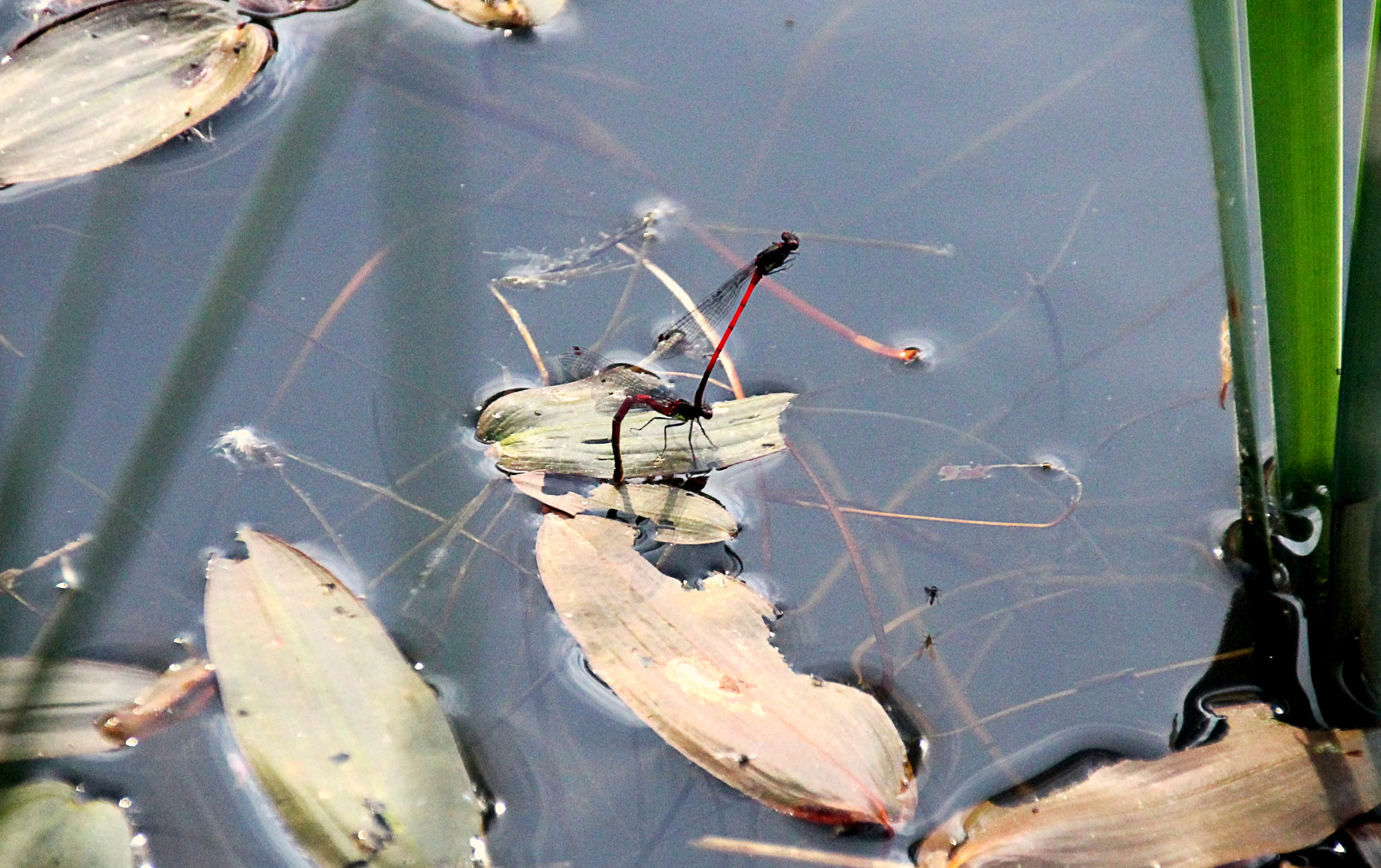
Two slender red insects, a pair of damselflies in tandem, resting on floating leaves in a calm pond.
A pair of large red damselflies mating on the surface of a pond in the Quarzsandgrube nature reserve.

Quarzsandgrube Nature Reserve conservation status and protection priorities

The Quarzsandgrube is designated as a nature reserve primarily to protect and optimize a former quartz sand quarry area along with its small water bodies, tall herb vegetation, scrub, and surrounding woodland. Its IUCN Category IV status reflects an active management approach aimed at maintaining both the habitats and the species that depend on them.

A central conservation goal is the long-term preservation of open soils and early developmental stages of vegetation, conditions that are now rare in the surrounding cultivated landscape. The reserve is fenced to limit uncontrolled disturbance and trampling, and management is administered by the lower landscape authority of the Rhein-Sieg-Kreis. Conservation organizations such as the BUND NRW Naturschutzstiftung have supported the area as both an active nature conservation project and a small geological open-air museum, highlighting its role as a model for how post-industrial sites can deliver disproportionate ecological value when protected and carefully managed.

Quarzsandgrube Nature Reserve cultural meaning and human context

Although the Quarzsandgrube is primarily a natural site, it carries a strong industrial and geological cultural memory. The exposed substrates, including pale quartz sand, lignite, gravel, and clay, make the reserve an informal open-air museum of the region's subsurface geology. Conservation groups describe it both as a nature protection project and as a place where the geological layers of the Rhein-Sieg-Kreis can be experienced directly above ground. Its place within a wider network of small nature reserves along the terrace slopes also ties it into the broader regional identity of local conservation traditions around Bornheim and Roisdorf.

Top sights and standout views in Quarzsandgrube Nature Reserve

The Quarzsandgrube stands out for the unusual density of habitat diversity packed into a small former quarry. Within roughly 29 hectares it combines open sandy soils, shallow pools, pioneer scrub, broom bushes, locust groves, and patches of oak, pine, and ash woodland, producing conditions that support rare insects and amphibians in the middle of an intensively used region.

Equally distinctive is the site's accessibility model: because the reserve is fenced, visitors observe it from the Fietzeks Weitsicht viewing platform above the quarry, joining regular guided explorations rather than walking through the habitat itself. This combination of dense ecological value and structured viewing makes the Quarzsandgrube a small but unusually instructive example of post-industrial conservation.

Best time to visit Quarzsandgrube Nature Reserve

The Quarzsandgrube is a quiet, ecologically sensitive site dominated by early successional and open ground habitats, and seasonal conditions shape both its vegetation and its wildlife visibility. Late spring into summer typically brings broom shrubs into flower against the pale sandy substrate, while warm, dry periods favor insect activity on the open ground. Amphibian and dragonfly presence in the shallow pools is most apparent in warmer months, when breeding behavior around the water bodies becomes visible from the viewing platform. Conditions are broadly evergreen in their interpretive value, with the fenced layout and elevated viewpoint meaning that the reserve can be appreciated across much of the year, weather and ground conditions permitting.


Monthly climate preview

Measured monthly weather rhythms and representative coordinate statistics

Quarzsandgrube Climate Normals, Long Term Temperature and Precipitation Patterns

Quarzsandgrube exhibits a measured annual temperature and precipitation rhythm derived from long term representative coordinate normals between 1991 and 2020. Evaluating the complete twelve month profile provides granular baseline data for analyzing localized climate trends across the protected area.
Annual mean10 °C
1 °C19 °C
Jan
Feb
Mar
Apr
May13°
Jun17°
Jul19°
Aug19°
Sep15°
Oct10°
Nov
Dec
Warmest month
July

19.2 °C

Coolest month
January

1.3 °C

Wettest month
December

2.6 mm/day

Driest month
April

1.6 mm/day

Park location guide

Geography guide, regional context, and park location map for Quarzsandgrube Nature Reserve

Quarzsandgrube Nature Reserve park geography, regions, and map view in Germany

Understand where Quarzsandgrube Nature Reserve sits in Germany through a broader geographic reading of the surrounding landscape, nearby location context, and its mapped position within the national park landscape.

How Quarzsandgrube Nature Reserve fits into Germany

Germany is a federal republic in Western and Central Europe with a population of over 83 million across sixteen constituent states. It is Europe's largest economy by nominal GDP and a major global exporter and importer. The capital is Berlin, and the country borders Denmark, Poland, Czech Republic, Austria, Switzerland, France, Luxembourg, Belgium, and the Netherlands.

Wider geography shaping Quarzsandgrube Nature Reserve in Germany

Germany is located in Western and Central Europe, spanning 357,022 km². It borders Denmark to the north, Poland and the Czech Republic to the east, Austria and Switzerland to the south, and France, Luxembourg, Belgium, and the Netherlands to the west. The country has coastlines on the Baltic Sea and North Sea to the north, with the Alps located in the southern region.

Map view of Quarzsandgrube Nature Reserve

Use this park location map to pinpoint Quarzsandgrube Nature Reserve in Germany, understand its exact geographic position, and read its mapped placement within the surrounding landscape more clearly.

Pigeon | © OpenStreetMap contributors

Location context for Quarzsandgrube Nature Reserve

Nordrhein-Westfalen

Protected area views revealing open sandy substrates, shallow pools, and diverse pioneer habitats.

Quarzsandgrube Photos and Landscape Scenery Visual Exploration

Visual documentation of Quarzsandgrube captures the unique terrain and sparse pioneer vegetation of the former quartz sand mining site. Protected area photography details the complex mosaic of open sand, scrub, and woodland stands defining this compact regional refuge.

A wide, elevated view of a forest area during autumn with green and yellow trees under a cloudy sky.

A small shrub with bright yellow flowers growing directly out of cracked, white, sandy soil.

A green pool frog partially submerged in a pond surrounded by aquatic leaves and stems.

A wide, eye-level shot of a rural landscape with a large, forested hillside rising above open fields under a partly cloudy sky.

Two slender red insects, a pair of damselflies in tandem, resting on floating leaves in a calm pond.

A small pond covered with floating lily pads and bordered by tall reeds and grasses, backed by a dense green forest.

Park atlas

Discover adjacent nature reserves and regional habitats across the terrace slopes

Exploring Other Protected Areas and Nearby Parks Around Quarzsandgrube

Browsing other protected areas near Quarzsandgrube reveals a connected network of specialized nature reserves along the regional terrace slopes. Comparing surrounding habitats provides broader context for understanding post-industrial conservation and regional ecological patterns.
A horizontal watercolor painting depicting a gentle, hazy green landscape with rolling hills, a line of trees, and a foreground meadow.
Protected landscapeNorth Rhine-Westphalia
Mapped location lies within the park boundary#1 closest

Northwest

Naturpark Rheinland: Geography and Protected Area Overview in North Rhine-Westphalia

A complex metropolitan nature park and lake district

Naturpark Rheinland represents a distinct convergence of reclaimed lignite mining landscapes, quiet lowland forests, and floodplain wetlands. Its mapped boundaries reveal a diverse terrain of ridges and river valleys that define the environmental character of the Cologne-Bonn metropolitan region.

Area
1,045 km²
Established
1959
Relief
Upland
Climate
Temperate
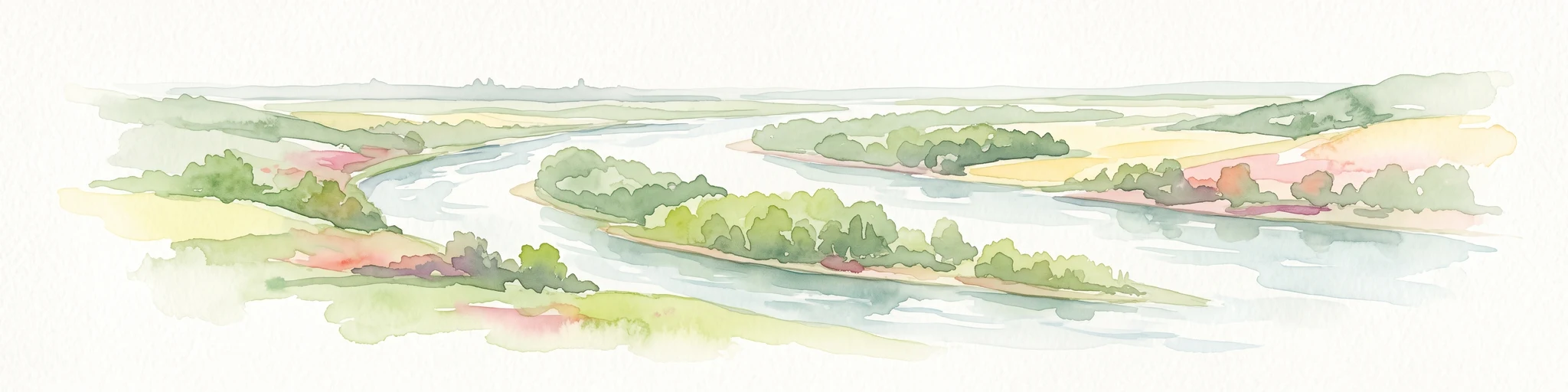
A soft watercolor painting showing a winding river with a lush green island in the middle, surrounded by soft-toned riverbanks and trees.
Nature reserveNorth Rhine-Westphalia
About 5 km away#2 closest

Northeast

Herseler Werth Nature Reserve: Geographic Overview of the Rhine River Island Landscape

A strictly protected riverine refuge in North Rhine-Westphalia

Herseler Werth represents a unique study in protected geography as the only non-publicly accessible Rhine island within North Rhine-Westphalia. Spanning 14.8 hectares, this long, narrow river island serves as a critical, human-excluded sanctuary that protects endangered species from industrial and urban disturbance. Its mapped boundaries and poplar-covered terrain illustrate the complex interaction between historical river hydrology and modern conservation efforts along the busy Bonn-Cologne corridor.

Area
0.148 km²
Established
1993
Relief
Lowland
Climate
Temperate
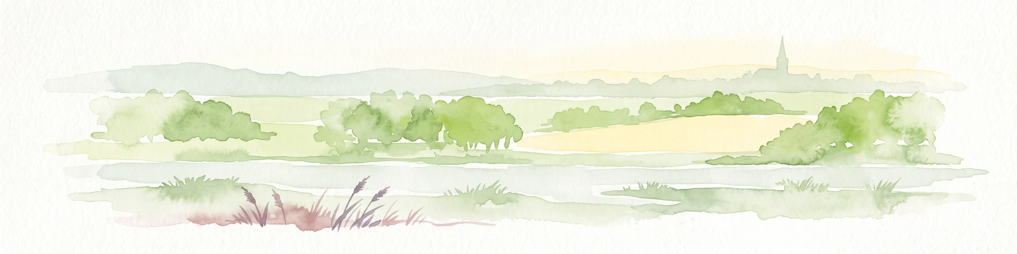
A horizontal watercolor painting of a river landscape with lush green trees, fields, and a distant church spire on the horizon.
Nature reserveRhein-Sieg-Kreis
About 6.6 km away#3 closest

East

Siegaue und Siegmündung Nature Reserve in Rhein-Sieg-Kreis: A Geographic Overview

Protected floodplain ecosystems and river-mouth geography

The Siegaue und Siegmündung nature reserve protects a critical river-mouth landscape where the Sieg flows into the Rhine. This area features a complex mosaic of wet meadows, softwood alluvial forests, and abandoned river channels, providing essential habitat for migratory waders. The reserve represents a near-natural floodplain environment within the densely populated Cologne-Bonn Rhine plain.

Established
1985
Relief
Lowland
Climate
Temperate
Scope
Terrestrial
Nature reserveNorth Rhine-Westphalia
About 8.5 km away#4 closest

Southeast

Melbtal Nature Reserve in North Rhine-Westphalia: Map, Terrain, and Geographic Context

Deep-cut forested valley with unique geological instability

Melbtal stands as a protected nature reserve in Bonn, Germany, defined by its steep wooded slopes and the meandering Melbbach. This geographic entity offers a study in earth-science dynamics, featuring active landslides and a distinct cold-air flow that persists within a dense urban setting. Use this atlas perspective to understand the boundaries, terrain, and layered cultural history of one of the region's most prominent green corridors.

Area
0.2 km²
Established
2013
IUCN
IV
Relief
Upland
A soft watercolor painting depicting a panoramic landscape with rolling green hills, patches of forest, and gentle terrain.
Nature reserveNordrhein-Westfalen
About 9.9 km away#5 closest

Southeast

Kottenforst-Waldville Nature Reserve: Protected Landscape Geography and Forest Mapping

A significant oak-hornbeam woodland complex within Nordrhein-Westfalen.

Kottenforst-Waldville comprises extensive, interconnected forest blocks defined by their high-value oak-hornbeam stands and rare woodland pools known as Maare. This protected area supports a dense regional network of spring brooks and floodplain woodlands, serving as a critical refuge for woodpecker populations and raptors within the anthropogenically shaped landscape of the Rhine valley.

Area
35.853 km²
Established
2004
Watercolor landscape illustration showing a pale river curving through green trees with soft hills in the distance.
Nature reserveNorth Rhine-Westphalia
About 10 km away#6 closest

North

Langeler Auwald: A Protected Floodplain Forest in the North Rhine-Westphalia Rhine Corridor

Examining fluvial landscape patterns and riparian forest boundaries

Langeler Auwald functions as a significant nature reserve on the right bank of the Rhine in Cologne, preserving a rare mosaic of willow-poplar floodplain forest. The terrain encompasses periodically flooded gravel shores, nutrient-poor grasslands on flood dikes, and transitional orchard habitats that support a high density of protected species within the urbanized landscape of North Rhine-Westphalia.

Area
0.224 km²
Relief
Lowland
Climate
Temperate
Scope
Terrestrial
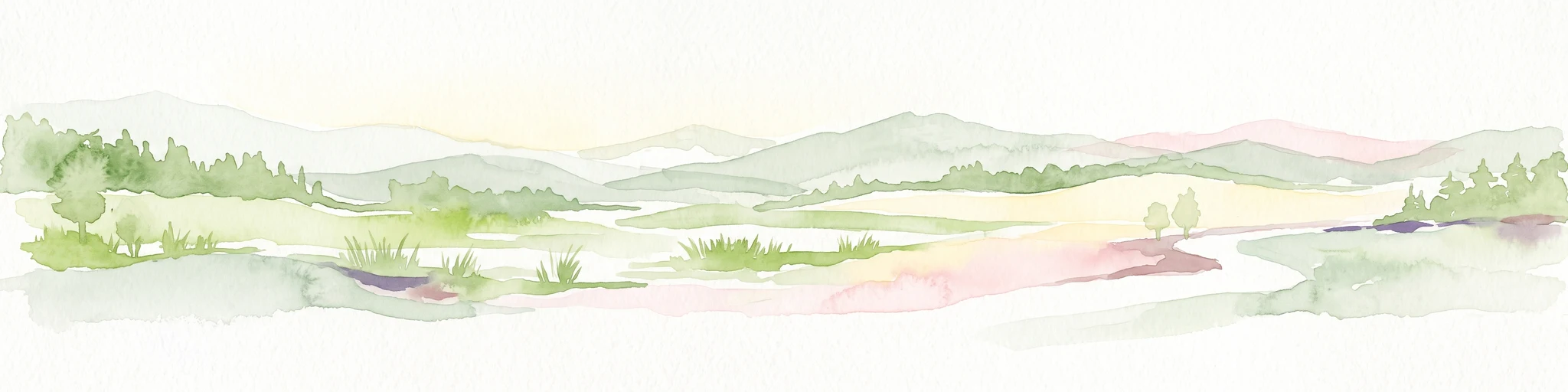
A soft watercolor illustration of a serene pond surrounded by gentle green hills and lush shoreline vegetation in a light, pastel color palette.
Nature reserveCologne
About 12 km away#7 closest

North

Kiesgruben Meschenich: Geographic Analysis of a Cologne Nature Reserve Landscape

Examining the ecological terrain and mapped gravel-pit habitat network.

Kiesgruben Meschenich offers a distinct study in regional conservation, presenting a complex of excavation lakes, raw gravel substrates, and wetland fringes. This protected area stands as a primary example of how industrial remnants transform into valued ecological hubs, serving as a critical refuge for biodiversity in the densely populated Rhine landscape of North Rhine-Westphalia.

Area
0.265 km²
Established
1991
Relief
Lowland
Scope
Terrestrial
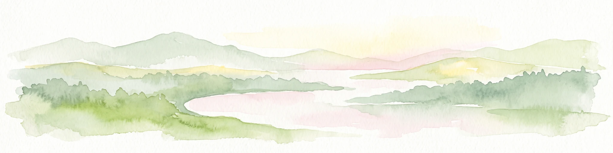
A horizontal watercolor painting depicting a calm lake surrounded by low, rolling hills and coniferous trees under a soft, pale sky.
Nature reserveNordrhein-Westfalen
About 12 km away#8 closest

Northwest

Heider Bergsee Nature Reserve: Geographic Context and Protected Landscape Map

A recovered lake landscape in the North Rhine-Westphalia region of Germany

Discover the complex geography of Heider Bergsee, a prominent nature reserve and post-mining lake in the Ville region. This area showcases how nutrient-poor water and managed forest edges create a vital ecosystem within North Rhine-Westphalia, providing a distinct study in landscape restoration and protected-area mapping.

Area
0.354 km²
Established
1965
Relief
Lowland
Climate
Temperate

Common questions about visiting, size, designation, and location context for Quarzsandgrube Nature Reserve

Quarzsandgrube Nature Reserve FAQs for park facts, access, geography, and protected area context

Find quick answers about Quarzsandgrube Nature Reserve, including protected-area facts, park geography, trail and visitor context, and how the park fits into its surrounding country and regional landscape.
MoriAtlas Explorer

Continue Your Protected Areas Search Across the Global Atlas

Deepen your exploration by continuing the structured search for national parks and protected areas worldwide. Utilize the comprehensive filtering capabilities to compare different conservation landscapes and refine your understanding of global park geography. Discover more about the distribution and characteristics of protected natural areas.

Global natural geography