A coastal Ecuadorian reserve where mangrove forests, dry forests, and humid cloud-forest hills converge near the Gulf of Guayaquil.
Manglares Churute Ecological Reserve
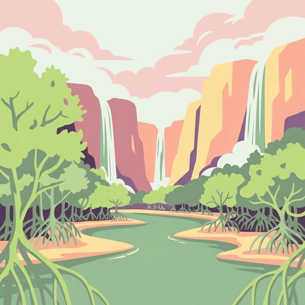
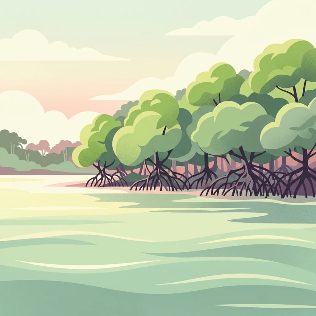
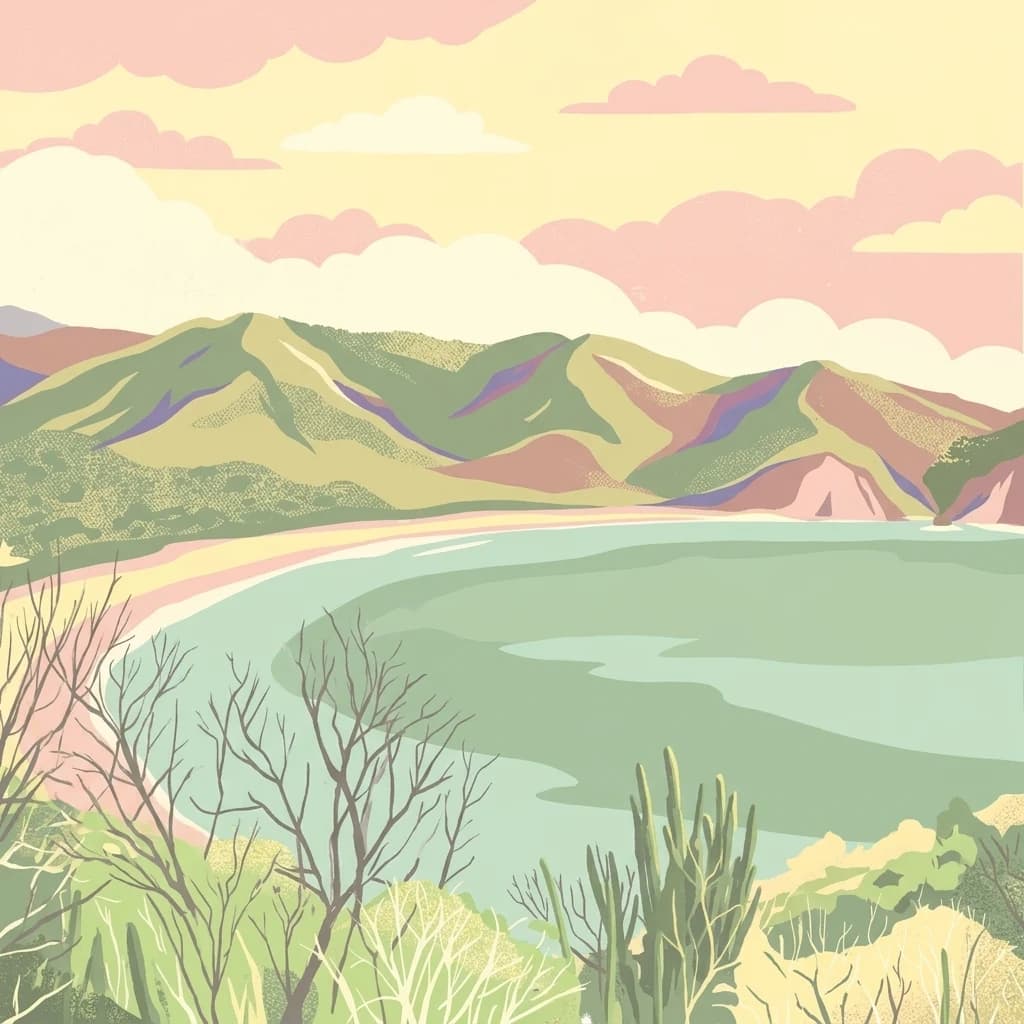
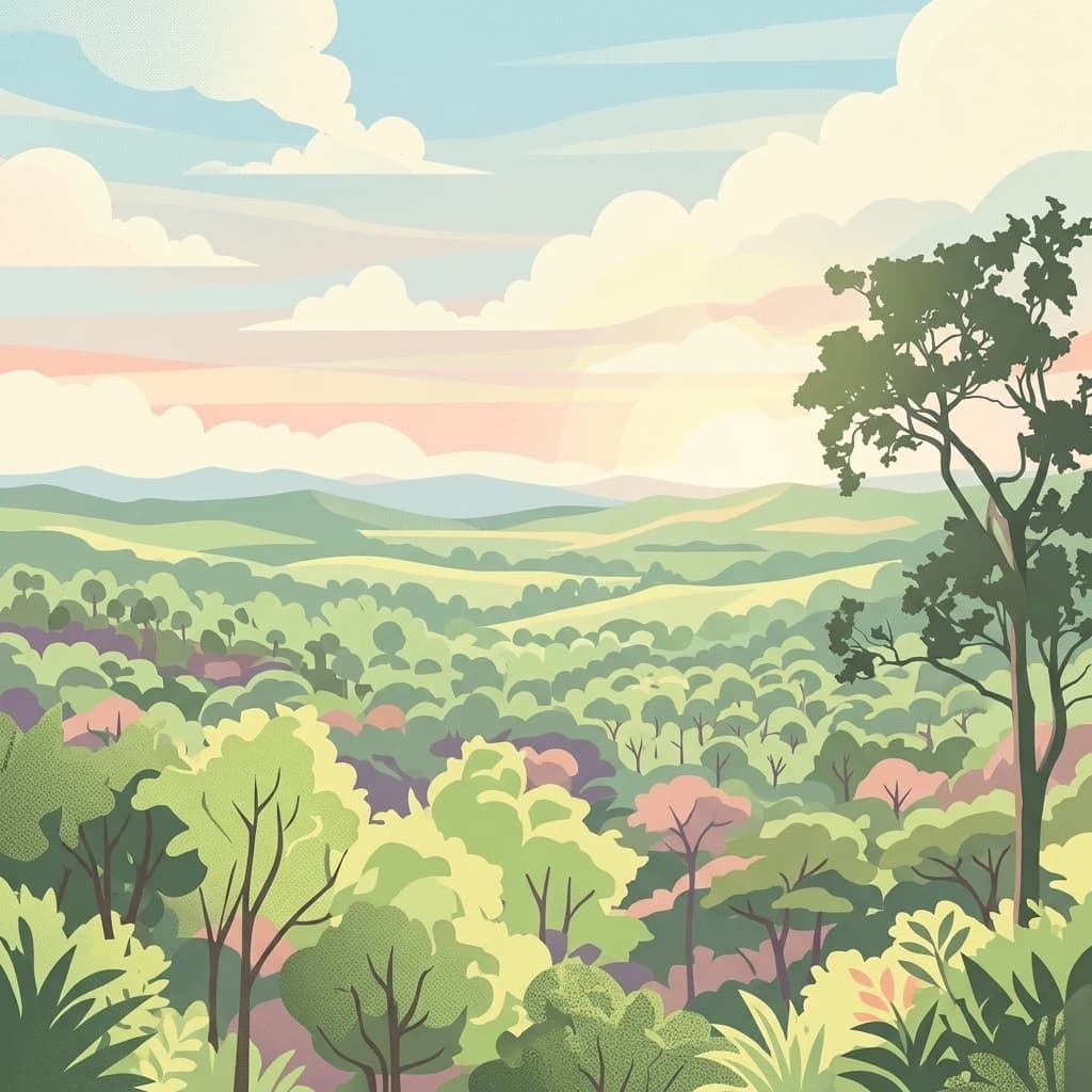
Manglares Churute Ecological Reserve is a protected natural area located in southeastern Guayas Province, Ecuador, between the cantons of Naranjal and Guayaquil. It stretches along the inner estuary of the Gulf of Guayaquil, where saltwater from the Pacific meets freshwater carried by rivers such as the Taura, Churute, Cañar, and Naranjal. The reserve protects a rare combination of ecosystems: extensive mangrove swamps, dry lowland forests on the lower hills, and humid cloud- or fog-forest vegetation on the higher cerros of the Churute range.
The reserve's biodiversity reflects this ecological mixing. It contains one of the last large remnants of mangrove forest along the Gulf of Guayaquil, freshwater lagoons such as El Canclón, and forested hills like Cerro Masvale that rise enough to catch persistent fog. The combination of estuarine waters, mangrove channels, forested hills, and seasonal wetlands gives the park a layered character unusual among Ecuador's protected areas.
Manglares Churute has national and international recognition. It is part of Ecuador's National System of Protected Areas, a designated Ramsar wetland site, and an Important Bird Area. It is valued not only for its scenic estuary landscapes but also for its role in protecting endemic Tumbesian species, migratory shorebirds, and the country's most important population of the threatened horned screamer (Anhima cornuta).