
Mori Atlas logo
Nature reserveRéserve naturelle régionale de la Pâture Mille Trous

A distinct calcareous grassland landscape featuring historic lime-kiln pit topography

Réserve naturelle régionale de la Pâture Mille Trous: Mapping Protected Chalk Plateaus

Discover the geographic layout of Réserve naturelle régionale de la Pâture Mille Trous, a notable protected area situated on a chalk plateau overlooking the Authie valley in northern France. This site represents a complex mosaic of short grassland, scrub, and woodland edge habitats. The landscape is defined by its characteristic pockmarked surface, formed by historical lime-extraction pits that today support a dense concentration of botanical species and protected orchids.

calcareous grasslandchalk plateauregional nature reserveprotected arealime-kiln heritageorchid habitat
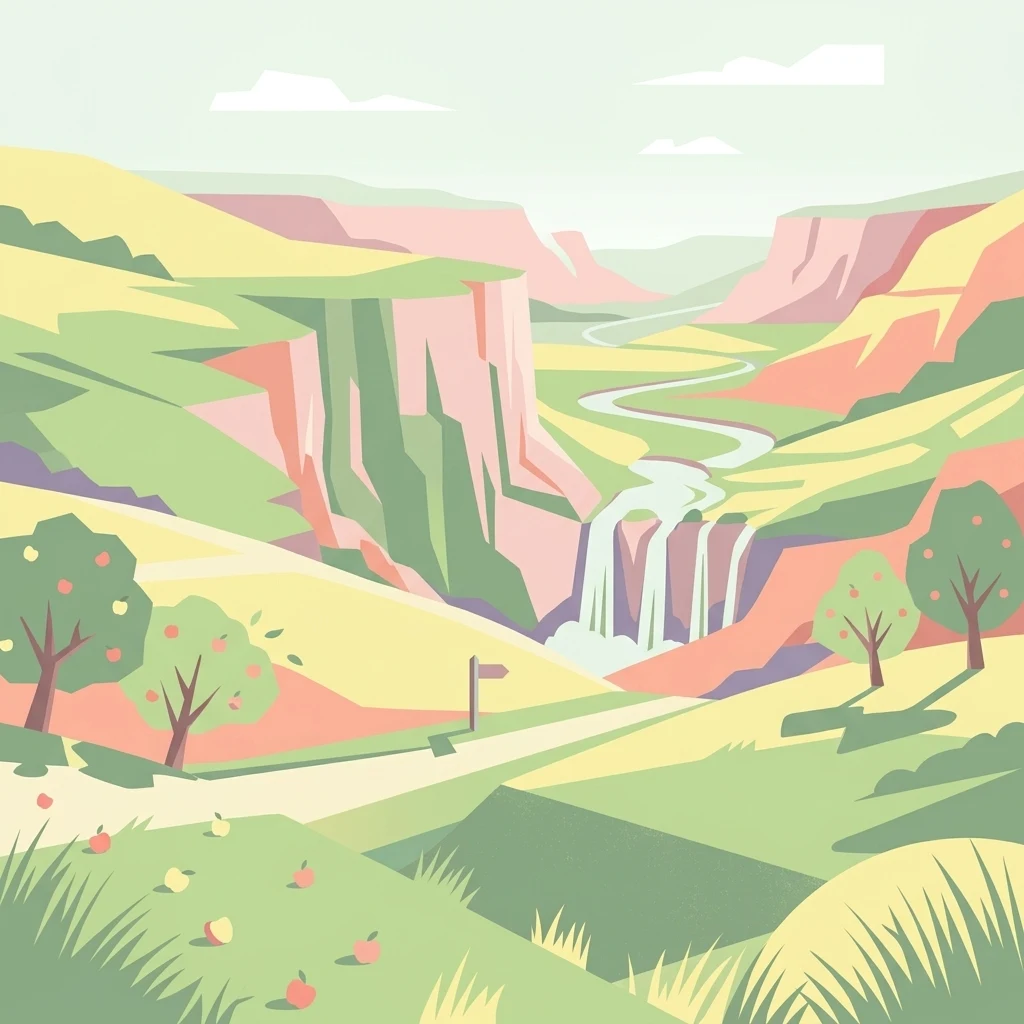
A minimalist, flat-style digital illustration depicting a rolling landscape with steep cliffs, a waterfall cascading into a winding stream, and apple trees in the foreground.

Réserve naturelle régionale de la Pâture Mille Trous

Nature reserve

Park overview

Structured park overview, official facts, and landscape profile for Réserve naturelle régionale de la Pâture Mille Trous

Réserve naturelle régionale de la Pâture Mille Trous park facts, protected area profile, and essential visitor context

Review the core facts for Réserve naturelle régionale de la Pâture Mille Trous, including designation, size, terrain, visitor scale, habitats, and operating context in one park-focused overview.

About Réserve naturelle régionale de la Pâture Mille Trous

The Réserve naturelle régionale de la Pâture Mille Trous is a compact but ecologically dense protected area in the Pas-de-Calais that captures, in just over six hectares, the full range of habitats associated with chalk grassland in northern France. Its territory combines a slightly southeast-tilting plateau with a northwest-facing slope of between 10 and 30 percent gradient, producing a mosaic of short calcareous turf, taller herbaceous fringes, juniper and hawthorn thickets, and the beginnings of calcareous woodland. Much of this diversity reflects centuries of human activity: the plateau's sandstone-by-chalk surface is dotted with old quarry pits dug to extract chalk for nearby lime kilns, and the resulting depressions shape both the look of the site and its micro-topography.

Geologically, the reserve sits on Cretaceous chalk, with white chalk from the Senonian and upper Turonian stages and marly chalk from the middle and lower Turonian, providing the calcareous substrate on which the characteristic vegetation depends. Soils are thin and species-rich, allowing classic dry-grassland plants to thrive alongside rarer elements such as the military orchid, the field rose and dry-grassland gentians. Ecologically, the reserve is integrated into the wider complex of calcareous slopes that line the middle Authie valley, and it operates as a stepping stone and ecological corridor within that landscape.

As a regional nature reserve, Pâture Mille Trous is also a place where active management meets cultural heritage. Traditional grazing was abandoned in the recent past, leading to a dominance of taller grassland-scrub communities, but a grazing regime restored in the early 1990s is gradually re-expanding the area of short chalk turf. The site thus offers a living illustration of how historical land use, geological substrate, and conservation practice combine to maintain one of the more threatened open habitat types in the Hauts-de-France region.

Quick facts and research context for Réserve naturelle régionale de la Pâture Mille Trous

The Réserve naturelle régionale de la Pâture Mille Trous is a regional nature reserve (réserve naturelle régionale) of about 6.44 hectares in the Pas-de-Calais, Hauts-de-France region of northern France. The site lies near Auxi-le-Château, about 20 kilometers northeast of Abbeville, on a chalk plateau and slope overlooking the Authie valley at roughly 80 meters in altitude.

It was first classified as a voluntary nature reserve in 1994 and was upgraded to regional nature reserve status by deliberation of the Regional Council on 12 November 2007. The reserve is administered by the Conservatoire d'espaces naturels du Nord et du Pas-de-Calais and is part of the broader ecological complex of the middle Authie valley calcareous slopes.

Protection and recognition

Review documented terrestrial protection scope, designation year, and official recognition records.

Protection Status and Designation History for Réserve naturelle régionale de la Pâture Mille Trous

Terrestrial protection status for Réserve naturelle régionale de la Pâture Mille Trous traces back to 2007 within established conservation datasets. Official designation history and regional management records provide verified baseline metrics for protected area evaluation.

Protection details

Protection scope
Terrestrial
Designated year
2007
Transboundary protection
No
WDPA ID
555514382
Park context

Deeper park guide and search-rich context for Réserve naturelle régionale de la Pâture Mille Trous

Réserve naturelle régionale de la Pâture Mille Trous history, landscape, wildlife, and travel context

Explore Réserve naturelle régionale de la Pâture Mille Trous through its history, landscape character, ecosystems, wildlife, conservation priorities, cultural context, and seasonal travel timing in a structured park guide built for atlas discovery and search intent.

Why Réserve naturelle régionale de la Pâture Mille Trous stands out

Pâture Mille Trous is known above all for its calcareous grassland (pelouse calcicole) set within a chalk landscape scarred by old lime-kiln quarry pits, which appear today as dozens of shallow depressions across the plateau. The small site concentrates a remarkable diversity of habitats in a single location, with short grassland, taller grassland-with-herbs border communities, scrub thickets, and calcareous woodland edge coexisting side by side. It also stands out for its plant richness: more than 220 wildflower species have been recorded, including protected orchids such as the military orchid (Orchis militaris) and the bee orchid (Ophrys apifera), as well as characteristic species of northern French chalk grasslands like the German gentian (Gentianella germanica) and the rough rose (Rosa rubiginosa). This botanical density, combined with its geological character, makes the reserve a textbook example of post-extraction calcareous grassland in the middle Authie valley.
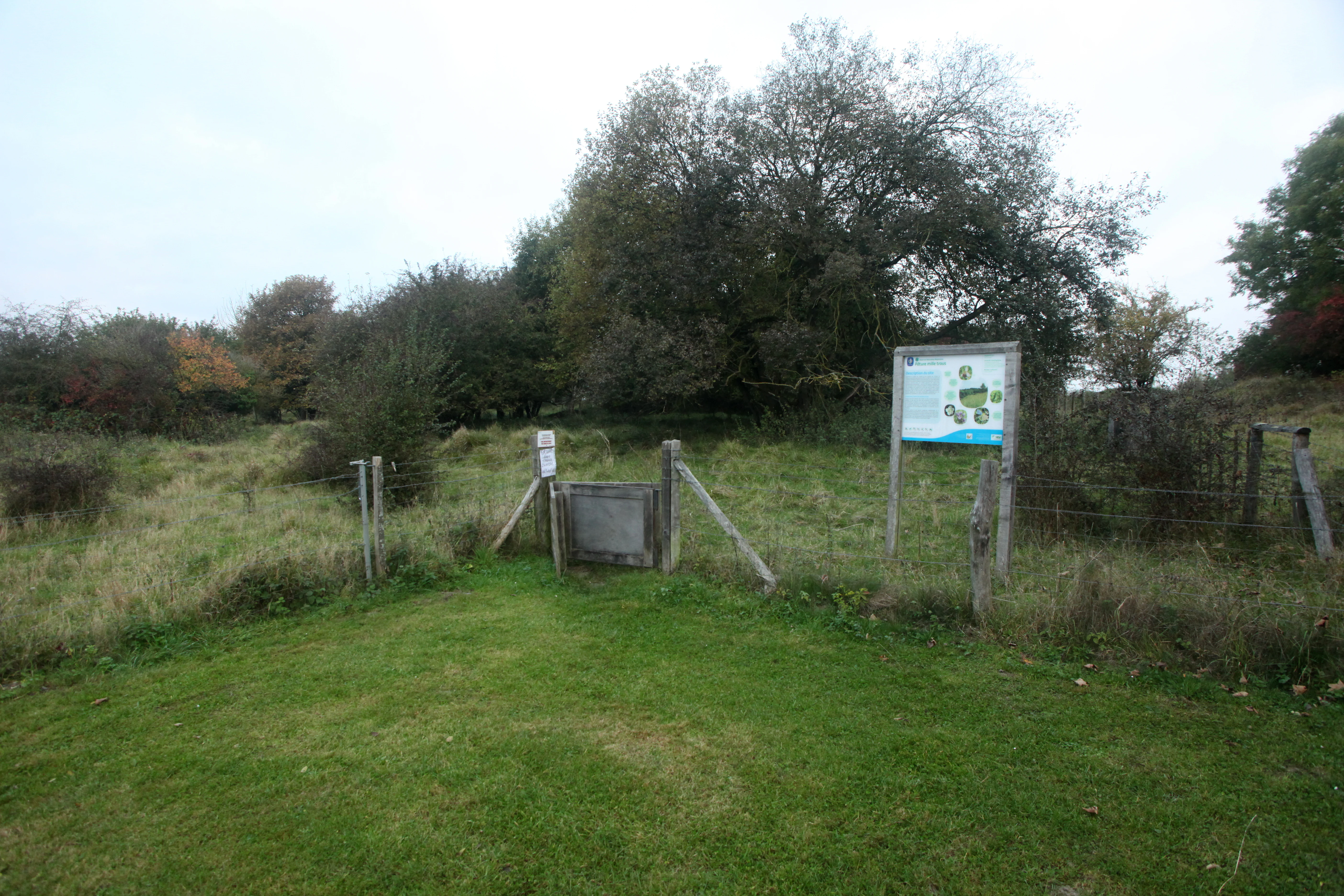
A wooden gate and informational park sign marking the entry point into a grassy nature reserve with trees in the background.
An entrance gate and interpretive signage at the Réserve naturelle régionale de la Pâture Mille Trous.

Réserve naturelle régionale de la Pâture Mille Trous history and protected-area timeline

The Pâture Mille Trous landscape carries a long human history. The numerous pits and hollows that give the site its name are remnants of old chalk-quarrying works; the extracted chalk was burned in nearby lime kilns, an industry that shaped the physical surface of the plateau for generations before the reserve existed.

Its modern conservation history began in the early 1990s, when grazing was reintroduced in 1992 and 1993 to counter the encroachment of scrub. In 1994 the site was first recognized as a voluntary nature reserve (réserve naturelle volontaire), placing it under a basic framework of protection and management. This status was elevated in 2007, when, by deliberation of the Regional Council on 12 November 2007, the area was reclassified as a regional nature reserve (réserve naturelle régionale), giving it a stronger and more durable legal footing. Since then it has been managed under a multi-year plan by the Conservatoire d'espaces naturels du Nord et du Pas-de-Calais, with the local commune applying differentiated and restorative management to the parcel.

Réserve naturelle régionale de la Pâture Mille Trous landscape and geographic character

The reserve's landscape is shaped by its position on the edge of the Authie valley. Two main landforms define the site: a gently sloping chalk plateau, tilted toward the south and southeast and pockmarked by numerous anthropogenic depressions, and a northwest-facing slope that makes up about a tenth of the total area and falls at gradients of roughly 10 to 30 percent. Altitudes are modest, with most of the reserve sitting around 80 meters above sea level.

The plateau's defining visual feature is the field of pits, the legacy of historical chalk extraction for lime production. Today they read as a regular pattern of depressions in the turf and contribute strongly to the site's distinctive character. The slope provides a quieter counterpart of smoother, often steeper ground, opening toward views over the Authie valley and surrounding agricultural countryside. Surrounding land use is predominantly arable, broken only on the northeastern edge by the wooded Bois du Violon, which frames the reserve along one boundary.
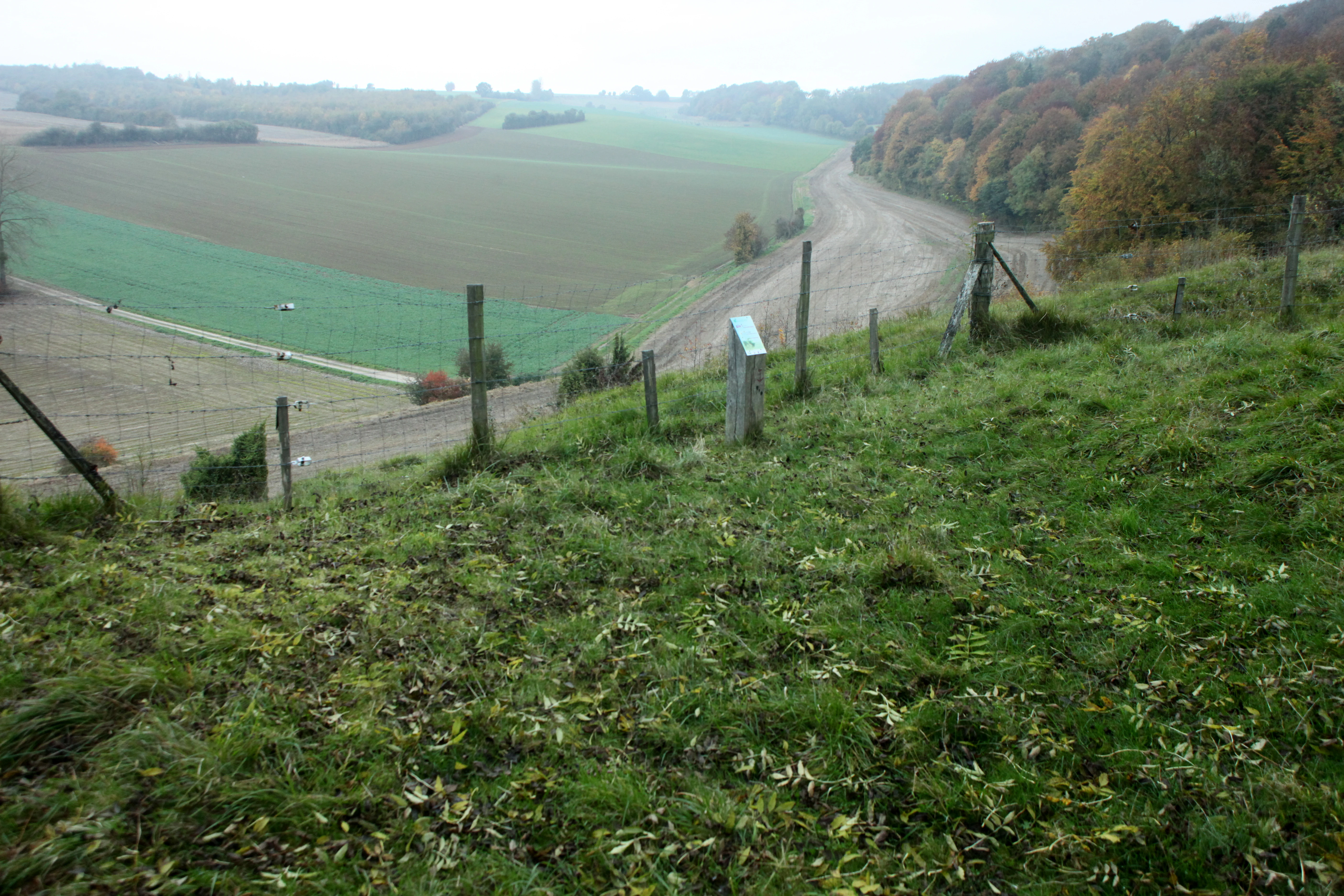
A wide shot of a grassy hillside sloping down toward agricultural fields, with a wire fence and a small signpost marking the edge of the reserve.
A view overlooking the rolling terrain and limestone slopes of the Pâture Mille Trous regional nature reserve.

Réserve naturelle régionale de la Pâture Mille Trous ecosystems, habitats, and plant life

Ecologically, the reserve is a textbook example of a northern French calcareous grassland system supporting multiple stages of vegetation succession on a single site. The dominant community is a taller, herb-rich calcareous grassland edge, while open, short chalk turf (pelouse rase) persists only in residual patches, often where trampling paths concentrate disturbance. From these open habitats, vegetation grades through tall-herb fringes and scrub into calcareous woodland, creating a complete successional gradient within a very small area.

Two Corine habitats of particular note have been identified on the site: semi-dry middle-European Bromus erectus grasslands, covering only a small share of the surface, and semi-arid middle-European Brachypodium-dominated grasslands, which extend across roughly three-quarters of the reserve. Beyond these categories, the site also supports juniper stands, scattered fruit trees, hawthorn, and patches of woodland margin along the Bois du Violon contact. The combination of thin calcareous soils, slope exposure, historical disturbance, and traditional grazing maintains a habitat mosaic that is otherwise rare and highly threatened in the Hauts-de-France lowlands.
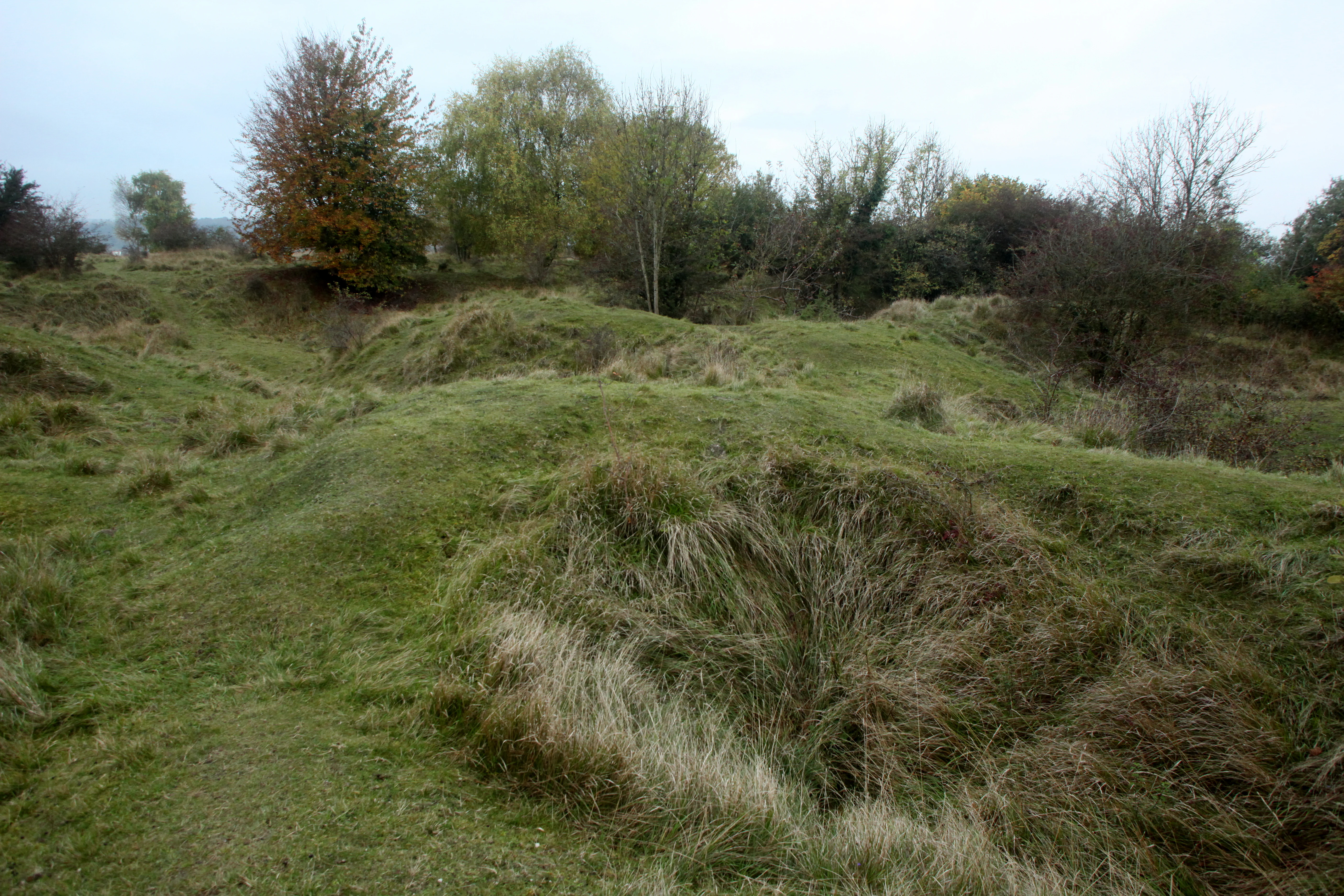
A slightly elevated view of a grassy, uneven limestone plateau with several small depressions, surrounded by a scattered line of autumn-colored trees under an overcast sky.
A view of the rolling terrain and grasslands of Réserve naturelle régionale de la Pâture Mille Trous.

Réserve naturelle régionale de la Pâture Mille Trous wildlife and species highlights

Wildlife interest at Pâture Mille Trous is shaped by its small size and habitat diversity rather than by large mammal populations. The site supports more than two dozen notable animal species across several groups. Birdlife is particularly significant for such a compact area: around 28 bird species have been recorded, of which the majority breed on or near the reserve, including characteristic farmland-edge and grassland species such as the whinchat and the yellowhammer.

The reserve also harbors small but valuable populations of European badger, a species that has become rare or has disappeared from much of northern France. Reptiles are represented by surviving populations of viviparous lizard and slow worm in the warmer calcareous habitats. Invertebrate diversity is high, with at least six species of grasshoppers and bush-crickets documented, including the melodious grasshopper and the great green bush-cricket, and a notable butterfly fauna that includes day-flying species such as the common blue, the swallowtail, the Osiris blue, and the false argus. Moths are also well represented, contributing to the reserve's overall biodiversity value.
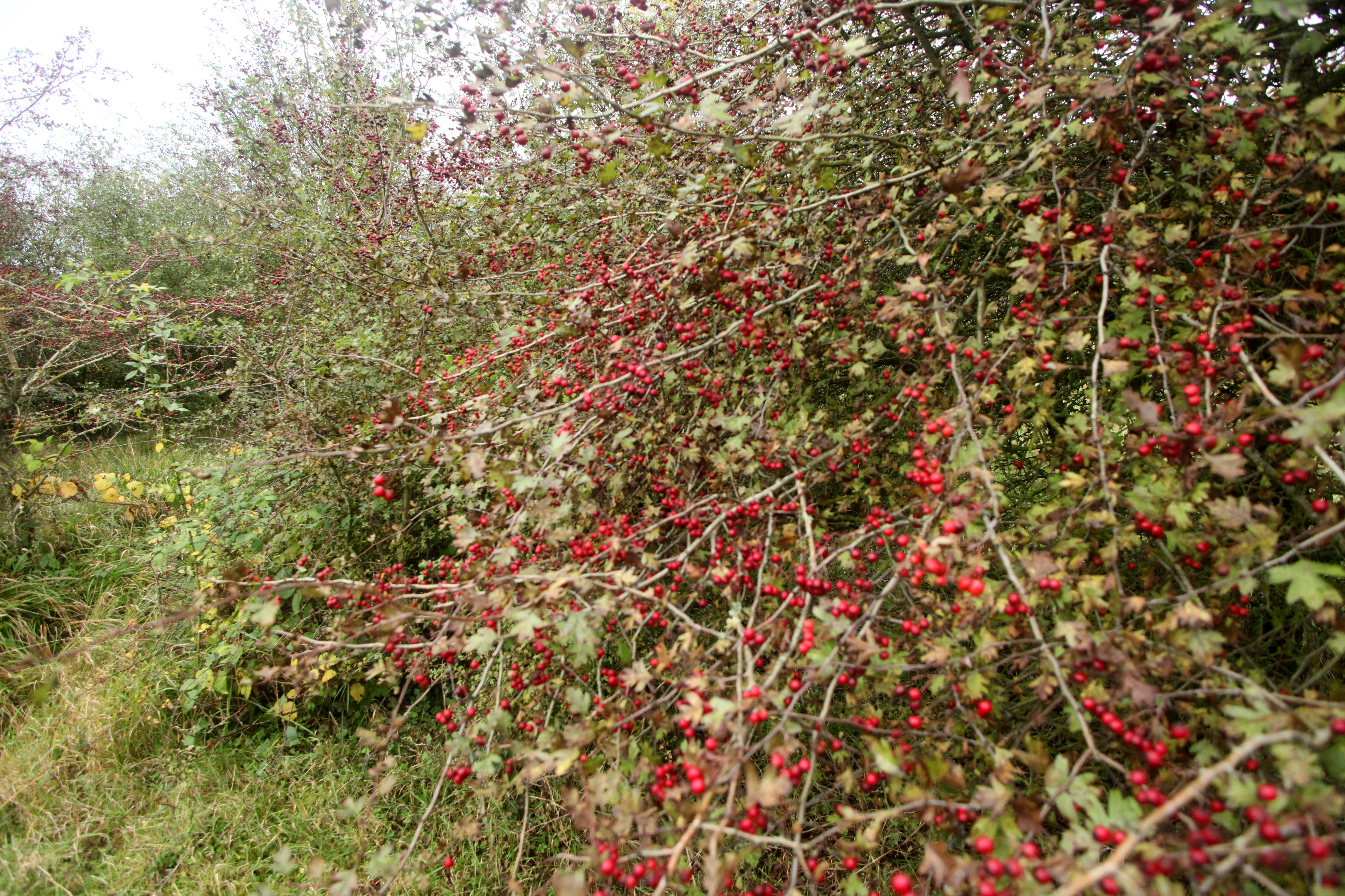
A thick hawthorn shrub filled with clusters of bright red berries, occupying most of the frame with a grassy area visible on the left.
A hawthorn shrub laden with red berries in the Pâture Mille Trous nature reserve.

Réserve naturelle régionale de la Pâture Mille Trous conservation status and protection priorities

Conservation significance at Pâture Mille Trous lies in the preservation of a small but high-quality example of dry calcareous grassland, one of the most threatened habitat types in northwestern Europe. The site is part of the broader complex of calcareous slopes along the middle Authie valley, contributing to ecological connectivity in the area and functioning as both a habitat patch and a corridor for species movement.

The reserve is classified under IUCN Category IV (habitat/species management area) and is part of the national inventory of protected natural areas for the Moyen Authie calcareous grasslands, woodlands and alluvial system. Active management addresses the principal pressures on dry grassland habitats: abandonment and scrub encroachment, illegal dumping, nutrient enrichment from organic inputs, and disturbance from off-road vehicles and motocross. Grazing, restored from 1992 onwards, is used as the main tool to maintain and expand short chalk turf, and the management plan integrates the site with surrounding natural areas to reinforce its long-term conservation value.

Réserve naturelle régionale de la Pâture Mille Trous cultural meaning and human context

The reserve carries a strong, if understated, cultural dimension rooted in rural land use. The very pattern of pits that defines the landscape is the product of centuries of small-scale chalk quarrying to feed lime kilns, an activity tied to traditional building and agricultural practice in the Authie valley. Apple trees still present on the site hint at older orchard traditions, while the current grazing regime reconnects the landscape with its pastoral past.

Beyond its physical heritage, Pâture Mille Trous is also a local reference point for environmental education in the Hauts-de-France region, offering a compact, accessible site where visitors can encounter chalk grassland habitats, orchids, and the broader valley landscape in a single visit.
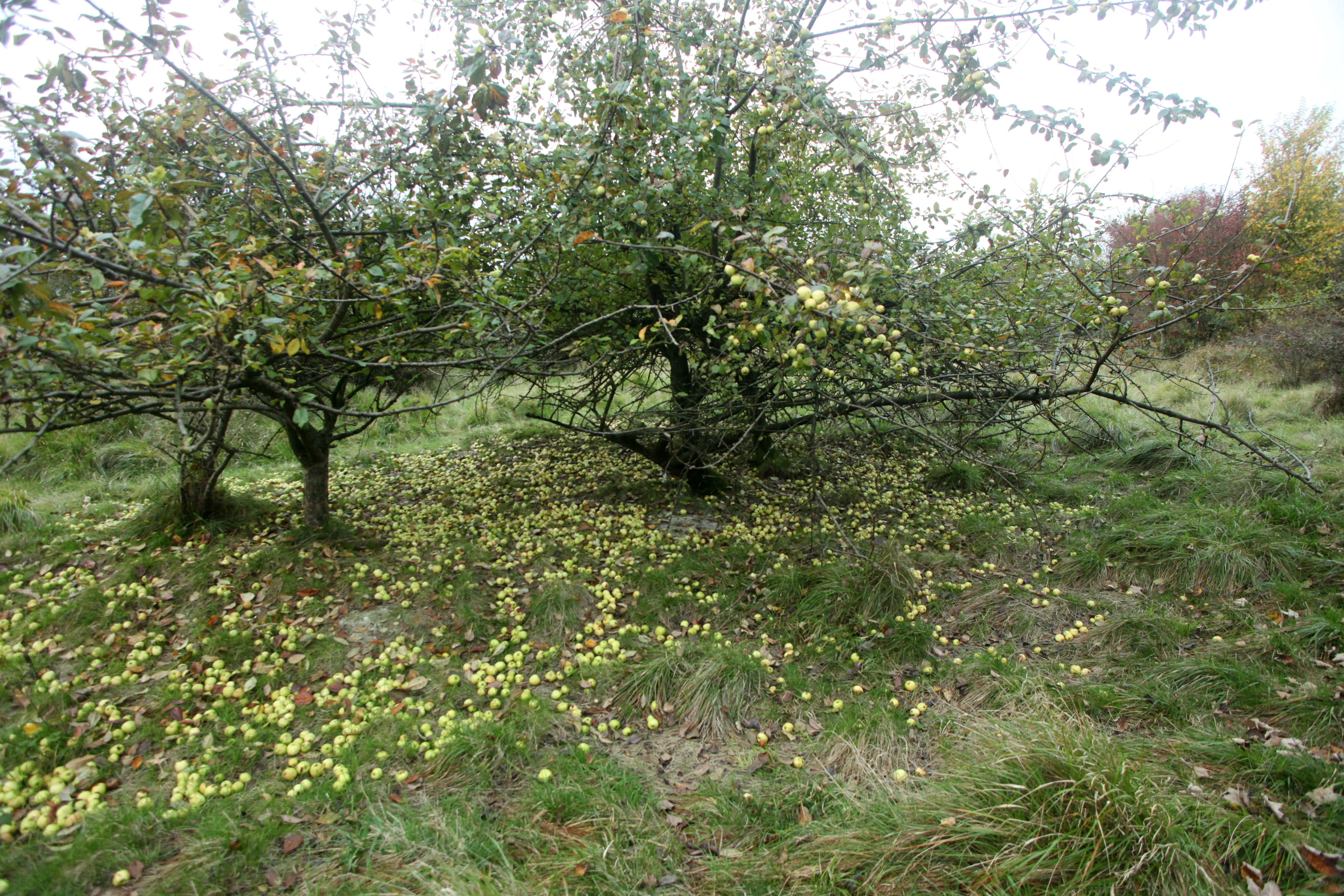
A grove of fruit trees with many yellow apples scattered across the grass on the ground in a nature reserve.
Fruit trees in the Pâture Mille Trous nature reserve, with fallen apples covering the grassy ground.

Top sights and standout views in Réserve naturelle régionale de la Pâture Mille Trous

The reserve's standout qualities concentrate in a few closely linked features: a dramatically pockmarked chalk plateau whose pits are a visible record of historical lime-burning industry; a habitat mosaic that fits short turf, tall herb fringe, scrub and woodland edge into a few hectares; a botanical richness disproportionate to its size, with more than 220 wildflower species and populations of protected orchids and other calcareous specialists; and an active conservation management combining grazing with restoration of open grassland.

Equally notable is the reserve's setting on the edge of the Authie valley, which gives it both ecological connectivity to a wider calcareous slope network and a striking vantage point over the surrounding agricultural landscape.

Best time to visit Réserve naturelle régionale de la Pâture Mille Trous

The reserve's character shifts with the seasons in ways that reflect the typical rhythm of a northern French calcareous grassland. Late spring and early summer bring the densest displays of chalk grassland wildflowers, including orchids such as the military orchid and the bee orchid, and the most active period for butterflies, grasshoppers and bush-crickets. This window tends to offer the richest combination of flowering diversity and insect activity.

In summer, the plateau's warm, dry, open turf is well established and the contrast between the pitted surface, juniper stands and the surrounding farmed plain is most visible, while the view over the Authie valley is at its clearest. Autumn brings softer light and color on the fruit trees and shrubs on site, and winter offers the most open views of the underlying topography, including the old quarry depressions that define the site's name.
Monthly climate preview

Long term temperature and precipitation rhythm across twelve measured intervals

Réserve naturelle régionale de la Pâture Mille Trous Climate Normals and Weather by Month

Réserve naturelle régionale de la Pâture Mille Trous records measured average monthly temperatures ranging from 3.31 °C to 17.33 °C alongside steady precipitation rates. Reviewing the complete twelve month profile provides deeper insight into long term climatological patterns.
Annual mean10 °C
3 °C17 °C
Jan
Feb
Mar
Apr
May13°
Jun15°
Jul17°
Aug17°
Sep15°
Oct11°
Nov
Dec
Warmest month
July

17.3 °C

Coolest month
January

3.3 °C

Wettest month
December

2.9 mm/day

Driest month
April

1.6 mm/day

Park location guide

Geography guide, regional context, and park location map for Réserve naturelle régionale de la Pâture Mille Trous

Réserve naturelle régionale de la Pâture Mille Trous park geography, regions, and map view in France

Understand where Réserve naturelle régionale de la Pâture Mille Trous sits in France through a broader geographic reading of the surrounding landscape, nearby location context, and its mapped position within the national park landscape.

How Réserve naturelle régionale de la Pâture Mille Trous fits into France

France is a unitary semi-presidential republic and one of the world's largest economies. It borders Belgium, Luxembourg, Germany, Switzerland, Italy, Monaco, Andorra, and Spain, with a maritime border to the United Kingdom. The country is known for its cultural influence, art, cuisine, and political history spanning centuries.

Wider geography shaping Réserve naturelle régionale de la Pâture Mille Trous in France

France is located in Western Europe. Metropolitan France extends from the Rhine to the Atlantic Ocean and from the Mediterranean Sea to the English Channel and North Sea. The country borders Belgium, Luxembourg, Germany, Switzerland, Italy, Monaco, Andorra, Spain, and has a maritime border with the United Kingdom.

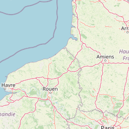
Map view of Réserve naturelle régionale de la Pâture Mille Trous

Use this park location map to pinpoint Réserve naturelle régionale de la Pâture Mille Trous in France, understand its exact geographic position, and read its mapped placement within the surrounding landscape more clearly.

Pigeon | © OpenStreetMap contributors

Location context for Réserve naturelle régionale de la Pâture Mille Trous

Hauts-de-FrancePas-de-Calais

Explore the unique chalk plateau terrain, historic extraction pits, and protected grassland habitats.

Visualizing Réserve naturelle régionale de la Pâture Mille Trous Photos and Landscape Scenery

Visual documentation of Réserve naturelle régionale de la Pâture Mille Trous reveals the complex topography of its pockmarked chalk plateau and diverse calcareous grassland habitats. Photographic reference helps researchers examine the interaction between historical lime quarrying features and surviving northern French wildflower ecosystems.

A wooden gate and informational park sign marking the entry point into a grassy nature reserve with trees in the background.

A low-angle shot of a sprawling green juniper bush situated in a dry grassy meadow within a nature reserve.

A wide shot of a grassy hillside sloping down toward agricultural fields, with a wire fence and a small signpost marking the edge of the reserve.

A slightly elevated view of a grassy, uneven limestone plateau with several small depressions, surrounded by a scattered line of autumn-colored trees under an overcast sky.

A thick hawthorn shrub filled with clusters of bright red berries, occupying most of the frame with a grassy area visible on the left.

A wide, hazy landscape view of a small French town nestled among rolling fields and hills, taken from an elevated vantage point in the Pâture Mille Trous reserve.

A grove of fruit trees with many yellow apples scattered across the grass on the ground in a nature reserve.

Park atlas

Compare surrounding chalk grasslands, valley landscapes, and regional nature reserves.

Parks Near Réserve Naturelle Régionale de la Pâture Mille Trous and Regional Protected Areas

Browsing other protected areas near Réserve naturelle régionale de la Pâture Mille Trous reveals broader ecological connections across the Authie valley and northern French chalk formations. Expanding the comparison highlights similar calcareous terrain and regional nature reserves located within the surrounding landscape.
Nature reserveHauts-de-France
About 5.2 km away#1 closest

East

Réserve naturelle régionale des Riez de Nœux-lès-Auxi Protected Landscape and Map Data

Geography of thermophilic limestone slopes in northern France

This site provides a detailed look at the Réserve naturelle régionale des Riez de Nœux-lès-Auxi, focusing on its role as the most thermophilic limestone slope in the former Nord-Pas-de-Calais region. Access structured data on the reserve's unique calcareous grassland mosaic, juniper stands, and the ravine forest habitat that characterizes this protected northern territory.

Area
0.083 km²
Established
1999
IUCN
IV
Relief
Upland
Nature reservePas-de-Calais
About 18 km away#2 closest

North

Réserve naturelle régionale du marais de la Grenouillère: Wetland Geography and Map

Protected alluvial floodplain in the Pas-de-Calais region

This regional nature reserve encompasses sixteen hectares of high-density wetland habitats along the Ternoise river. Its flat topography sustains a delicate mosaic of alkaline marshes, wet meadows, and riparian alder woodlands that serve as a critical ecological buffer within the broader landscape of northern France.

Area
0.166 km²
Established
2000
IUCN
IV
Relief
Lowland
A soft watercolor illustration showing a landscape with sparse trees, a sunlit clearing, and rolling hills in the background, set against a plain white background.
Nature reserveHauts-de-France
About 32 km away#3 closest

West

Réserve naturelle régionale du bois des Agneux: Protected Nature Reserve Landscape

Wetland habitat and acidiphile woodland in Hauts-de-France

Examine the geography of Réserve naturelle régionale du bois des Agneux, a nature reserve in the Somme department of Hauts-de-France. This protected area stands out for its mosaic of acidiphile oak woodland, seasonal pools, and sandy micro-relief, serving as a critical refuge for specialized flora and fauna on the Picardy coast.

Area
0.256 km²
Established
2015
IUCN
IV
Relief
Lowland
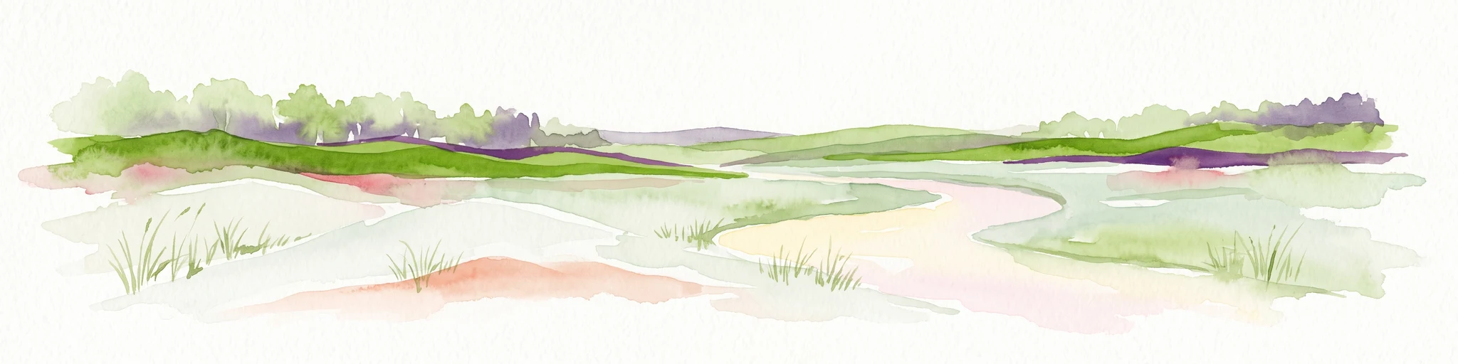
Watercolor painting of a coastal salt marsh with winding tidal channels, grassy banks, and soft green and purple tones.
Nature reserveSomme
About 41 km away#4 closest

West

Reserve naturelle nationale de la baie de Somme: Estuarine Geography and Protected Boundaries

Coastal mapping of the Somme estuary in northern France

Covering a wide range of tidal environments, the Reserve naturelle nationale de la baie de Somme represents one of France's most significant protected estuarine systems. This overview focuses on the interplay of river and tide, showcasing the expansive mudflats, salt marshes, and dune habitats that support immense bird populations and harbor seals along the Picardy shoreline.

Area
34.209 km²
Established
1994
IUCN
IV
Relief
Lowland
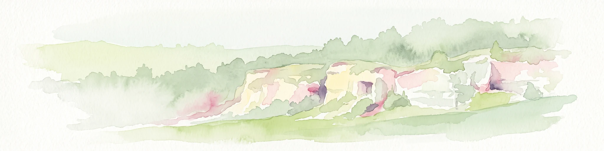
A soft watercolor painting of a grassy landscape with exposed limestone rock faces and green vegetation.
Nature reserveHauts-de-France
About 46 km away#5 closest

North

Réserve naturelle régionale des anciennes carrières de Cléty: Protected Geological Landscape

Regional nature reserve in the Hauts-de-France, France

A significant geological protected area in the Pas-de-Calais, this reserve features an exposed chalk quarry face that serves as a stratigraphic record for the Cretaceous period. The landscape hosts a rare intersection of geological heritage and diverse ecosystems, including orchids, butterflies, and bat colonies, within a compact footprint.

Area
0.02 km²
Established
2011
IUCN
IV
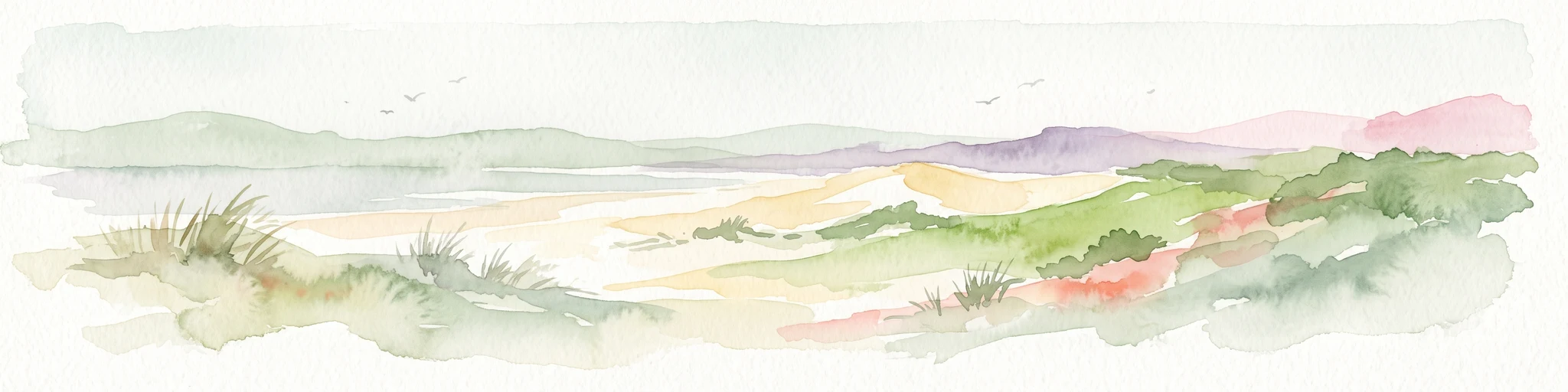
Watercolor painting of a coastal landscape with sand dunes, beach grasses, and distant hills under a light sky.
Nature reservePas-de-Calais
About 47 km away#6 closest

Northwest

Réserve naturelle nationale de la baie de Canche Protected Area Map and Geography

Coastal dune ecosystems and tidal estuary landscapes in Pas-de-Calais

This protected area offers a look into the geomorphology of the Canche estuary, where longshore drift, salt marshes, and rare chalk-cliff dune systems create a distinct environment. Understand the landscape context of this French national nature reserve, serving as a sanctuary for migratory bird populations and a site for active coastal research along the English Channel.

Area
5.05 km²
Established
1987
IUCN
IV
Relief
Lowland
A watercolor painting of a rolling rural landscape with bare trees, grassy hills, and distant purple and red hills against a pale sky.
Nature reserveHauts-de-France
About 50 km away#7 closest

Northwest

Réserve naturelle régionale du Molinet: Protected Calcareous Woodlands and Grassland Mosaic

Geographic and Habitat Analysis of a Pas-de-Calais Nature Reserve

Located in the Boulonnais landscape of northern France, this protected area serves as a vital refuge for calcareous flora. The reserve preserves a rare mosaic of limestone woodlands and grasslands, serving a dual role in both ecological conservation and water catchment protection within the Hauts-de-France administrative region.

Area
0.067 km²
Established
1987
IUCN
IV
Relief
Lowland
Nature reserveHauts-de-France
About 51 km away#8 closest

North

Réserve naturelle régionale du plateau des landes: Regional Nature Reserve Landscape Profile

Protected heathland geography in the Pas-de-Calais corridor.

Understand the ecological structure of the Réserve naturelle régionale du plateau des landes. This protected area features a unique crescent shape and mosaic of heathland sectors spread across several communes, offering a focused study of low-elevation inland conservation management in the heart of northern France.

Area
1.811 km²
Established
2009
IUCN
IV

Common questions about visiting, size, designation, and location context for Réserve naturelle régionale de la Pâture Mille Trous

Réserve naturelle régionale de la Pâture Mille Trous FAQs for park facts, access, geography, and protected area context

Find quick answers about Réserve naturelle régionale de la Pâture Mille Trous, including protected-area facts, park geography, trail and visitor context, and how the park fits into its surrounding country and regional landscape.
MoriAtlas Explorer

Continue Your Protected Areas Search Across the Global Atlas

Deepen your exploration by continuing the structured search for national parks and protected areas worldwide. Utilize the comprehensive filtering capabilities to compare different conservation landscapes and refine your understanding of global park geography. Discover more about the distribution and characteristics of protected natural areas.

Global natural geography