Mori Atlas logo
Park earthquake history

A catalogue of recorded geological events associated with the surrounding Pas-de-Calais landscape.

Historical Earthquake Records and Seismic Activity Near Réserve naturelle régionale du Molinet

Explore a structured catalogue of seismic events recorded in the vicinity of the Réserve naturelle régionale du Molinet in northern France. This collection aggregates historical data, identifying occurrences based on proximity to the reserve boundaries. These records provide a transparent view of past local seismic activity within the Boulonnais territory, detailing event dates, magnitudes, and epicentre distances for historical review.

Stylized vector illustration showing a mountainous valley with a two-tiered waterfall, surrounding forests, and a meadow in the foreground.

A small calcareous woodland and grassland reserve in the Pas-de-Calais.

Réserve naturelle régionale du Molinet

The Réserve naturelle régionale du Molinet is a small regional nature reserve located in the Pas-de-Calais department, within the Hauts-de-France region of northern France. It lies on the territory of the commune of Samer, on the edge of Longfossé, inside the broader Parc naturel régional des Caps et Marais d'Opale. The reserve protects a compact mosaic of calcareous woodlands and calcareous grasslands, set on soils derived from limestone. With an area of only a few hectares, it functions as a focused refuge for habitat types that have become rare in the surrounding agricultural and developed landscape of the Boulonnais area. Its interest is primarily ecological and educational rather than touristic. The site is not open to the general public and is managed to preserve the integrity of its flora, fauna, and associated water catchment functions.

Location
France
Park type
Nature reserve
Established
1987
Area
0.1 km²
Réserve naturelle régionale du Molinet Protected Area Atlas

Filter Réserve naturelle régionale du Molinet records by distance

Examine earthquakes near Réserve naturelle régionale du Molinet

Earthquakes near Réserve naturelle régionale du Molinet are associated by epicentre and distance from the reserve, not assumed occurrence inside its boundary. Examine dates, magnitudes, depths, locations, distance values, and cited sources without attributing seismicity to local or reserve conditions, defining a current threat, or forecasting events.

Sort by
Magnitude
Location

This page describes catalogued earthquakes associated with the park by epicentre location and distance. It does not establish causation, assess current danger, or predict future earthquakes.

No earthquake records match the current filters

Park atlas

Beyond Réserve naturelle régionale du Molinet earthquake records

More parks after Réserve naturelle régionale du Molinet

Réserve naturelle régionale du Molinet earthquake records lead to a separate destination set. Their inclusion does not signal shared terrain, reserve status, geology, seismic experience, proximity, hazards, risk, or equal record completeness.
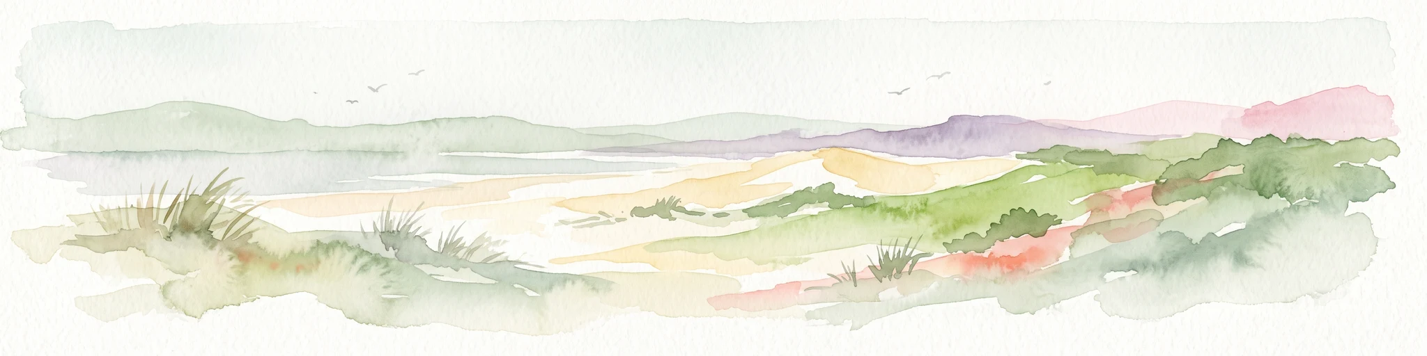
A soft watercolor illustration showing a low-lying landscape with gentle rolling hills, grassy foreground vegetation, and light, hazy atmospheric tones.
Nature reserveHauts-de-France
11 km away#1 closest

West

Réserve naturelle régionale du marais de Condette: Wetland Geography and Protected Landscape

A vital ecological corridor within the Hauts-de-France region

Spanning 35 hectares, the Réserve naturelle régionale du marais de Condette protects a unique mosaic of marshland, peat-forming habitats, and forested massifs. This wetland reserve near the Opal Coast acts as an essential green infrastructure link, providing critical sanctuary for flora and fauna while maintaining hydrological balance in a heavily transformed northern French landscape.

Area
0.35 km²
Established
2009
IUCN
IV
Relief
Lowland
Watercolor painting of a coastal landscape with sand dunes, beach grasses, and distant hills under a light sky.
Nature reservePas-de-Calais
14 km away#2 closest

Southwest

Réserve naturelle nationale de la baie de Canche Protected Area Map and Geography

Coastal dune ecosystems and tidal estuary landscapes in Pas-de-Calais

This protected area offers a look into the geomorphology of the Canche estuary, where longshore drift, salt marshes, and rare chalk-cliff dune systems create a distinct environment. Understand the landscape context of this French national nature reserve, serving as a sanctuary for migratory bird populations and a site for active coastal research along the English Channel.

Area
5.05 km²
Established
1987
IUCN
IV
Relief
Lowland
Nature reserveHauts-de-France
About 22 km away#3 closest

Northwest

Réserve naturelle régionale du pré communal d'Ambleteuse: Regional Nature Reserve Geography

Coastal dune relics and protected marshland in Hauts-de-France.

This protected area provides an essential look at the coastal geography of the Opal Coast. Featuring a complex mosaic of ancient dune turf, dry heath, and wet meadows, the reserve stands as a landmark for biodiversity and traditional land management in northern France.

Area
0.605 km²
Established
1991
IUCN
IV
Relief
Lowland
Nature reserveHauts-de-France
About 23 km away#4 closest

North

Réserve naturelle régionale de la forteresse de Mimoyecques: Regional Nature Reserve Geography

Protected subterranean habitat and wartime heritage in Hauts-de-France.

Located in the rolling lowlands of the Pas-de-Calais, the Réserve naturelle régionale de la forteresse de Mimoyecques is a uniquely managed protected area. Its landscape integrates historical military architecture with modern biodiversity conservation, focusing on the protection of rare underground roosting environments for diverse bat species within the regional Hauts-de-France terrain.

Area
0.016 km²
Established
2012
Relief
Lowland
Climate
Temperate
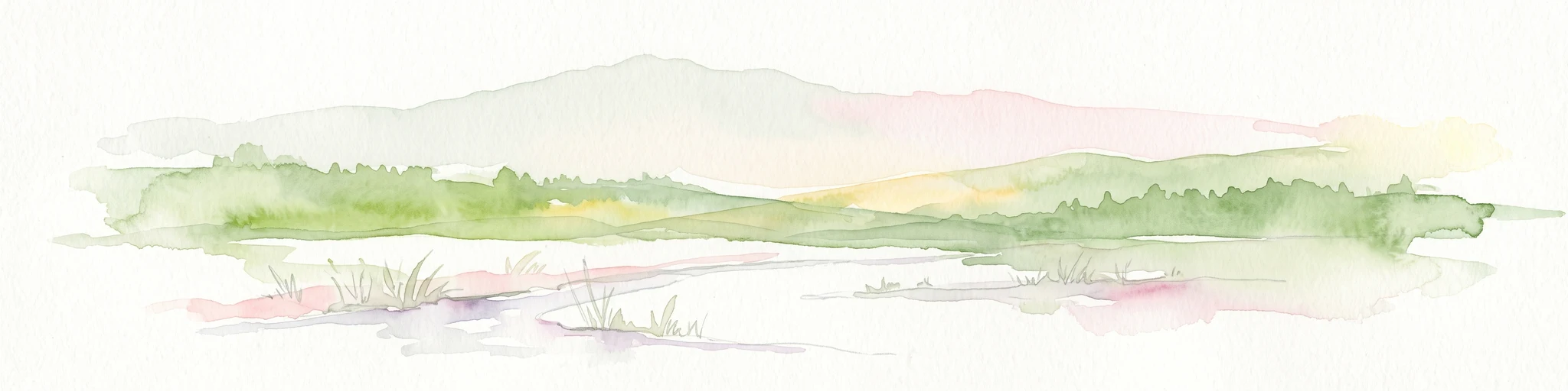
A horizontal watercolor painting showing a soft landscape with green vegetation, pink accents, and a winding body of water leading towards distant hills.
Nature reserveFrance
About 26 km away#5 closest

North

Réserve naturelle régionale du mont de Couple: Protected Chalk Escarpment and Coastal Viewpoint

A limestone ridge sanctuary in the northern French Boulonnais region

Spanning a rare chalk cuesta in northern France, this protected area balances ecological conservation with distinct geological features. The reserve provides critical habitat for orchids and protected flora while serving as a strategic viewpoint across the Straits of Dover and the surrounding Opal Coast terrain.

Area
0.136 km²
Established
1997
Relief
Upland
Climate
Temperate
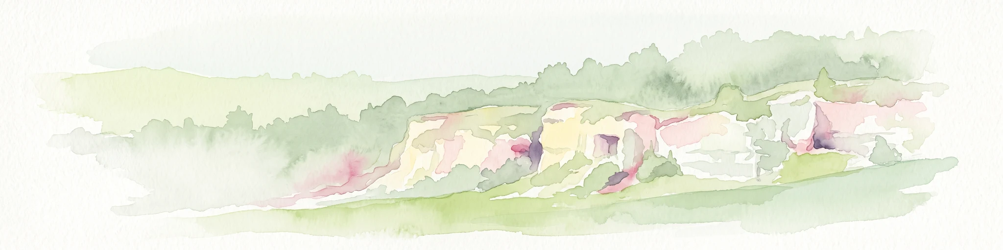
A soft watercolor painting of a grassy landscape with exposed limestone rock faces and green vegetation.
Nature reserveHauts-de-France
About 26 km away#6 closest

East

Réserve naturelle régionale des anciennes carrières de Cléty: Protected Geological Landscape

Regional nature reserve in the Hauts-de-France, France

A significant geological protected area in the Pas-de-Calais, this reserve features an exposed chalk quarry face that serves as a stratigraphic record for the Cretaceous period. The landscape hosts a rare intersection of geological heritage and diverse ecosystems, including orchids, butterflies, and bat colonies, within a compact footprint.

Area
0.02 km²
Established
2011
IUCN
IV
Nature reserveHauts-de-France
30 km away#7 closest

Northeast

Réserve naturelle régionale de Pont d'Ardres: Mapped Wetland Geography and Protected Lands

A restored industrial landscape in the Hauts-de-France coastal hinterland.

Situated southeast of Calais, this reserve represents a rare success in ecological restoration. The former sugar factory basins now provide vital habitats for shorebirds and nesting species, maintaining an essential wetland presence in an otherwise cultivated landscape of northern France.

Area
0.663 km²
Established
2012
IUCN
IV
Relief
Lowland
Nature reserveHauts-de-France
32 km away#8 closest

East

Réserve naturelle régionale du plateau des landes: Regional Nature Reserve Landscape Profile

Protected heathland geography in the Pas-de-Calais corridor.

Understand the ecological structure of the Réserve naturelle régionale du plateau des landes. This protected area features a unique crescent shape and mosaic of heathland sectors spread across several communes, offering a focused study of low-elevation inland conservation management in the heart of northern France.

Area
1.811 km²
Established
2009
IUCN
IV
MoriAtlas Explorer

Trace the Protected Boundaries of Réserve naturelle régionale du Molinet

Follow the mapping of this specialized nature reserve to understand its role in regional conservation and water management. Through the MoriAtlas perspective, study the topography and ecological distribution of the calcareous habitats found within this unique Hauts-de-France sanctuary.