Mori Atlas logo
Nearby park discovery

Geographic exploration of protected landscapes surrounding this wetland biotope

Regional Protected Areas and Nature Reserves Near Rohrsee von Rehbach in Hesse

Examine the geographic distribution of protected natural areas situated within the Odenwald region surrounding Rohrsee von Rehbach. This overview maps neighboring nature reserves and protected landscapes to clarify the regional environmental context of these important habitat patches in southern Hesse.

Related tags

wetlandnature reservereed bedspondswet meadows

A small wetland nature reserve in the sandstone Odenwald, protecting a reed-fringed pond and adjacent meadows.

Rohrsee von Rehbach

Rohrsee von Rehbach is a small nature reserve (Naturschutzgebiet) located near the village of Rehbach, a district of Michelstadt in the Odenwaldkreis of southern Hesse, Germany. Covering about 15.57 hectares, it lies roughly five kilometers northwest of Michelstadt's town center and sits within the broader Sandstein-Odenwald, or sandstone Odenwald region. The reserve protects a shallow artificial pond together with surrounding reed beds, sedge stands, and wet meadows that together form a notable wetland biotope in an otherwise dry, sandstone-dominated landscape. The protected area is classified as an IUCN Category IV Habitat/Species Management Area and has been formally protected since November 24, 1986 under the identifier 1437007, with a supplementary ordinance issued on September 20, 1993. Its core value is ecological: the combination of open water, a pronounced reed belt, and adjacent moist grasslands provides important breeding, feeding, and resting habitat for a range of waterbird species, some of which are considered rare or threatened. The site's significance for bird conservation, combined with its small size and specific habitat mosaic, makes it a typical example of the kind of focused wetland reserve that complements the larger forested and stream valley protected areas found elsewhere in the Odenwaldkreis.

Location
Germany
Park type
Nature reserve
Established
1986
Area
0.2 km²
Highest point
288 m
Rohrsee von Rehbach Protected Area
Regional park map

See the ranked park cluster in its geographic setting

Nearby parks around Rohrsee von Rehbach

This regional map shows the same 20 nearby parks ranked below around Rohrsee von Rehbach. Select a ranked marker to highlight that park’s boundary where boundary data is available.
Reference park: Rohrsee von RehbachRanked nearby park20 nearby parks shown
20 nearby parks

Distance-ranked collection and regional park geography for comparative analysis

Parks and Protected Areas Geographically Near Rohrsee von Rehbach

Examine the ranked collection of protected areas situated geographically close to Rohrsee von Rehbach based on direct boundary measurements. Compare surrounding regional park geography and recorded environmental traits to understand broader landscape patterns across the territory.
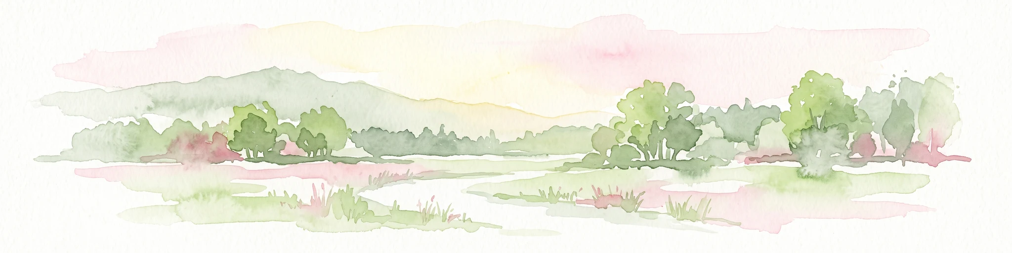
A soft watercolor painting of a wetland landscape with rolling hills in the background, a body of water in the middle, and green grass in the foreground.
Nature reserveHessen
About 6.1 km away#1 closest

Northeast

Bruch von Bad König und Etzen-Gesäß: Nature Reserve and Floodplain Geography

Protected wetland landscapes in the Odenwald region of Hessen

Located along the Mümling river, this nature reserve protects a vital network of moist meadows, reed beds, and softwood forests. The site offers a clear view into the alluvial geography of the Odenwald, showcasing how protected floodplain corridors function within a developed regional landscape.

Area
0.427 km²
Established
1980
IUCN
IV
Relief
Lowland
A watercolor illustration of a soft, pastel-colored wetland landscape with trees, grassy banks, and distant hills.
Nature reserveHesse
About 8.4 km away#2 closest

Northwest

Bruch von Brensbach: Mapping the Nature Reserve and Wetland Mosaic in Hesse, Germany

Protected carr woodland and Gersprenz valley stream corridors

Located in the Odenwaldkreis district of Hesse, Bruch von Brensbach acts as a crucial protected wetland corridor. The reserve preserves a rare concentration of alder carr forest and reed beds along the Kilsbach stream, offering a stark geographic contrast to the agricultural fields that characterize the broader Gersprenz valley landscape.

Area
0.055 km²
Established
1983
IUCN
IV
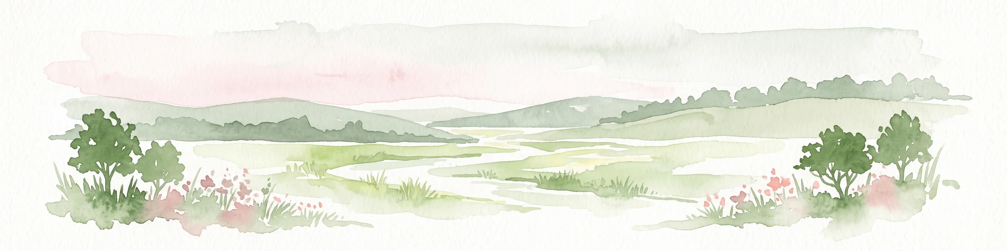
A horizontal watercolor illustration of a soft, rolling landscape with a central winding path or stream, green meadows, distant hills, and foreground trees and flowers.
Nature reserveHesse
About 9.7 km away#3 closest

Southwest

Gras-Ellenbacher Wiesen Nature Reserve: Protected Valley Basin Geography and Map Overview

Wet meadows and seepage habitats within the Odenwald hills

Situated in a gentle hollow near the Dachsberg and Kirchberg ridges, Gras-Ellenbacher Wiesen represents an essential Hessian nature reserve. This overview highlights the interplay between the Ulfenbach stream, drainage infrastructure, and traditional meadow management that defines this distinct sandstone upland protected landscape.

Area
0.241 km²
Established
1981
IUCN
IV
Relief
Upland
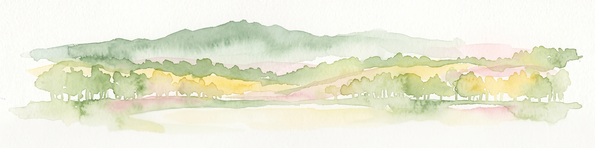
A wide watercolor painting showing rolling green hills and trees with pale pink and yellow hues across a valley landscape.
Nature reserveHessen
About 12 km away#4 closest

Southwest

Rotes Wasser von Olfen Nature Reserve: Protected Wetland and Odenwald Geography

A unique bog and iron-rich stream landscape in Hessen, Germany.

Rotes Wasser von Olfen preserves a rare, small-scale mosaic of transitional bog and wet meadow vegetation within the Odenwald range. This protected site features reddish, iron-rich seepage waters and provides essential habitat for specialized flora and dragonfly populations amidst a surrounding forested mountain landscape.

Area
0.121 km²
Established
1980
IUCN
IV
Relief
Upland
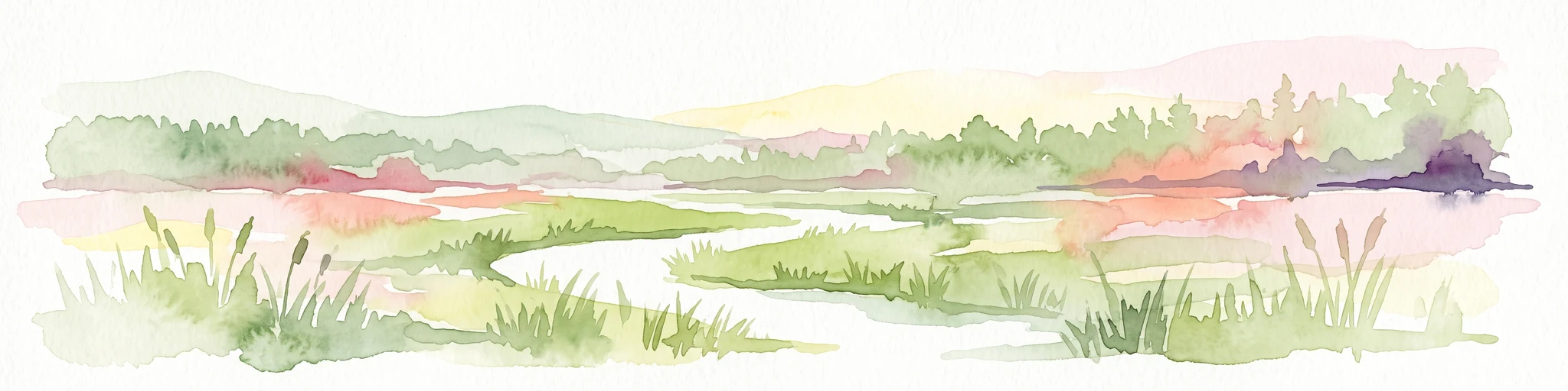
A horizontal watercolor illustration depicting a meandering stream through green valley meadows, flanked by soft foliage and rolling hills in the background.
Nature reserveOdenwaldkreis
About 12 km away#5 closest

East

Geierstal von Vielbrunn Nature Reserve: Odenwald Landscape and Geography

Protected brook valley and floodplain ecosystems

Geierstal von Vielbrunn is a distinct nature reserve in Odenwaldkreis, characterized by a narrow valley floor carved by the Ohrenbach stream. The site preserves rare sedge fens, tall herb communities, and black alder galleries that provide essential refuge for regional wildlife. This protected landscape highlights the complex ecological transition between Hessian and Bavarian forest zones in a compact, valley-bottom geography.

Area
0.16 km²
Established
2000
Relief
Upland
Climate
Temperate
Watercolor painting of a wide, low-horizon landscape featuring a line of green trees against a pale pink sky over a pale, sandy foreground.
Nature reserveHessen
About 13 km away#6 closest

North

Sandsteinbrüche am Burzelberg bei Frau-Nauses Protected Nature Reserve and Quarry Atlas

Odenwald mountain range, Hessen protected area

Examine the geography of Sandsteinbrüche am Burzelberg bei Frau-Nauses, a protected nature reserve in Hessen. This site features striking Buntsandstein quarry walls and rewilded forest edges, providing a specialized environment for cliff-nesting raptors and documenting local industrial history through its geological formations.

Area
0.195 km²
Established
1994
Relief
Upland
Climate
Temperate
A soft watercolor illustration depicting a green, hilly landscape with meadows and distant low slopes on a white background.
Nature reserveHesse
About 14 km away#7 closest

Northwest

Forstberg von Ueberau: A Volcanic Nature Reserve and Protected Landscape in Hesse, Germany

Geographic atlas of an extinct volcano and dry grassland refuge.

Forstberg von Ueberau serves as a vital ecological anchor within the Reinheimer Hügelland. This 30-hectare nature reserve preserves an unusual volcanic substrate, featuring a crater-shaped basalt quarry surrounded by seminatural meadows and hedgerows. The site stands as a prime example of habitat management where traditional agricultural practices and biodiversity protection converge to sustain Red List species in a structured, open-country setting.

Area
0.305 km²
Established
1990
IUCN
IV
A horizontal watercolor illustration of a soft green landscape with meadows, scattered trees, and distant rolling hills under a pale pink sky.
Nature reserveHessen
About 17 km away#8 closest

West

Schannenbacher Moor Nature Reserve: Geographic Overview and Protected Area Boundaries

Wetland and forest mosaic in the southern Hessian Odenwald

Schannenbacher Moor represents a significant protected area within Hessen, characterized by its combination of raised bog remnants, reedbeds, and near-natural floodplain woodlands. Framed by the Krehberg slopes and the Meerbach stream system, the reserve offers a rare example of low mountain bog ecology and biodiversity conservation. This mapped landscape provides essential data on the distribution of mire plant communities and bryophyte habitats in the region.

Area
0.162 km²
Established
1975
IUCN
IV
Watercolor painting of soft, rolling green hills and meadows in a minimalist style, set against a light background.
Nature reserveHessen
About 17 km away#9 closest

South

Dürr-Ellenbachtal von Wald-Michelbach: Odenwald Nature Reserve and Protected Valley Geography

A historic meadow valley in Hessen, Germany

The Dürr-Ellenbachtal von Wald-Michelbach nature reserve protects an elongated, narrow valley framed by forested ridges in the central Odenwald. This area is defined by its meandering brook, diverse alder stands, and species-rich meadows that sustain significant local biodiversity. As a key Natura 2000 site, it serves as an essential example of protected meadow landscapes and rural mountain terrain within the Bergstraße district.

Area
0.542 km²
Established
1990
IUCN
IV
Relief
Mountain
A horizontal watercolor illustration of a soft, hazy landscape with rolling hills, meadows, and indistinct patches of vegetation against a light background.
Nature reserveHessen
About 17 km away#10 closest

North

Bruchwiesen von Dorndiel Nature Reserve in Hessen: Protected Landscape and Geography

Wetland habitat and stream valley terrain in the Buntsandstein Odenwald

Bruchwiesen von Dorndiel represents a rare, compact concentration of wetland habitats, including open water, reedbeds, and moisture-gradient meadows. Located in the Amorbach stream corridor, this nature reserve is a key node for local biodiversity and regional landscape preservation within the broader Odenwald mountain range.

Area
0.087 km²
Established
1977
IUCN
IV
Relief
Upland
Watercolor painting of a tranquil pond landscape with soft green reeds, grasses, and low trees under a pale, muted sky.
Nature reserveHesse
About 18 km away#11 closest

Northwest

Reinheimer Teich Nature Reserve: Mapped Wetlands and Biodiversity in Hesse, Germany

A lowland wetland refuge in the Reinheimer Becken

Reinheimer Teich represents a significant nature reserve in the Darmstadt-Dieburg district of Hesse. This protected area features a mosaic of reed beds, wet meadows, and open water channels. It is recognized as one of the final strongholds for the European pond turtle and remains a key node within the Untere Gersprenz river system, demonstrating the vital role of floodplain restoration in local landscape conservation.

Area
0.75 km²
Established
1975
IUCN
IV
Relief
Lowland
Watercolor painting of a green wetland landscape with a winding stream and distant hills in soft pastel colors.
Nature reserveHesse
About 18 km away#12 closest

Southwest

Albersbacher Riedwiesen Nature Reserve: Mapped Geography and Protected Landscapes in Hesse

A detailed atlas view of the Albersbach stream valley conservation corridor.

Situated in the Weschnitz valley region of Hesse, the Albersbacher Riedwiesen nature reserve offers a concentrated look at traditional Odenwald landscapes. The area protects a unique combination of wet meadows, reedbeds, and dry grasslands that follow the natural meandering course of the Albersbach stream, providing a vital study in local geomorphology and conservation geography.

Area
0.124 km²
Established
1996
Watercolor painting of a gentle, rolling green landscape with sparse trees and distant hills on a white background.
Nature reserveHesse
About 18 km away#13 closest

South

Jakobsgrund bei Gammelsbach Nature Reserve: Geographic Atlas and Park Boundary Mapping

Protected sandstone valley landscapes in southern Hesse

This nature reserve in the Odenwald hills provides a concentrated example of traditional valley land use. The area features a sharp contrast between dry south-facing slopes and damp, stream-carved lowlands, creating a botanical hotspot within the regional geography of Hesse, Germany.

Area
0.095 km²
Established
1996
IUCN
IV
Relief
Upland
Watercolor painting showing a stylized, panoramic landscape of rolling hills and forest, depicted in soft green and earth tones against a white background.
Nature reserveHessen
About 18 km away#14 closest

West

Felsberg bei Reichenbach Nature Reserve: Geography and Granite Boulder Field Analysis

Protected forest and geological monument in the Odenwald range

Felsberg bei Reichenbach protects 168 hectares of Odenwald mountain slope in Southern Hessen. The site is centered on the Felsenmeer, a dramatic sea of granite boulders created by frost weathering, framed by mixed deciduous woodland. This area functions as an important Natura 2000 habitat, preserving both specialized rock ecosystems and montane forest, providing a clear geographic link between the Lautertal valley and the high slopes of the Felsberg summit.

Area
1.677 km²
Established
1972
IUCN
IV
Relief
Mountain
A wide watercolor illustration showing a river curving through a grassy valley with trees and hills in the background.
Nature reserveHessen
About 18 km away#15 closest

Southwest

In der Erbach bei Mörlenbach Nature Reserve: Protected Odenwald Stream Valley

Regional geography and habitat mapping in southern Hessen

The In der Erbach bei Mörlenbach nature reserve preserves a well-defined side-valley ecosystem within the broader Odenwald landscape. Its protected boundaries encompass a moisture-rich corridor featuring wet meadows, reedbeds, and forest edges that exemplify the traditional cultural geography of the Weschnitz river basin in southern Germany.

Area
0.197 km²
Established
1997
IUCN
IV
Relief
Upland
A wide watercolor painting showing a river flowing through a green meadow with trees and distant hills.
Protected areaHesse
About 19 km away#16 closest

Northwest

Scheelhecke von Groß-Zimmern Protected Area, Hesse: A Wetland and Riverine Landscape Study

Key protected wetland features in the Reinheimer Hügelland

Scheelhecke von Groß-Zimmern protects an essential network of wet meadows and brook corridors in the Darmstadt-Dieburg district. Its geography encompasses a transition from open sedge-dominated floodplain to softwood forest, providing critical support for avian species and amphibians within the Natura 2000 Gersprenz network.

Area
0.046 km²
Established
1983
Relief
Upland
Climate
Temperate
A watercolor painting of a pastoral landscape with soft green meadows, scattered trees, and distant purplish hills under a white sky.
Nature reserveHessen
About 20 km away#17 closest

West

Magerrasen von Gronau mit angrenzenden Flächen Protected Landscape and Regional Geography

A network of calcareous meadows in the Odenwald foothills

Located in the Bergstraße district of Hessen, this protected area spans three distinct sub-areas characterized by nutrient-poor calcareous soils. These warm, sun-exposed meadows serve as an essential refugium for orchid diversity and specialized butterfly populations, standing as a representative example of successfully managed dry grassland ecosystems within the broader Geo-Naturpark Bergstraße-Odenwald.

Area
1.6 km²
Established
2004
A horizontal watercolor illustration of a soft, hazy landscape featuring light pink blooming trees in a green field, with rolling, misty purple and brown hills in the background.
Nature reserveHesse
About 21 km away#18 closest

West

Fuchswiese bei Stettbach: Mapped Nature Reserve and Protected Meadow Landscape in Hesse

Exploring the ecological boundaries of a specialized wet meadow reserve in southern Hesse

Fuchswiese bei Stettbach is a dedicated nature reserve serving as a critical habitat for threatened meadow butterfly species. Located in the Darmstadt-Dieburg district of Hesse, this protected area preserves wet meadow vegetation amidst the northern Odenwald fringe. The site offers a focused view into how small, carefully managed landscapes contribute to the broader ecological health and regional geography of central Germany.

Area
0.03 km²
Established
2010
Nature reserveHesse
About 21 km away#19 closest

Southwest

In der Striet bei Vöckelsbach Nature Reserve: Regional Geography and Mapped Protected Landscapes

A compact forest and wetland mosaic in the Odenwald of southern Hesse

The nature reserve In der Striet bei Vöckelsbach is an essential protected area covering four and a half hectares of valley floor. It provides a dense habitat gradient from reeded spring zones through alder forests to mixed deciduous slopes. This record details the park landscape, stream systems, and its integration into the larger Geo Naturpark Bergstraße Odenwald and Natura 2000 protected areas.

Area
0.048 km²
Established
1988
A soft, horizontal watercolor painting depicting a meandering stream flowing through green meadows and rolling hills under a pale sky.
Nature reserveHesse
About 21 km away#20 closest

South

Finkenbachtal bei Finkenbach Nature Reserve: Mapped Brook Valleys of the Odenwald

Protected stream corridor and floodplain meadows in southern Hesse

Finkenbachtal bei Finkenbach preserves a compact, ecologically intact valley system characterized by meandering sandstone brook morphology and traditional floodplain meadow management. This protected area serves as a significant link in the regional Odenwald stream network, illustrating the intersection of low mountain forest and valley floor vegetation dynamics.

Area
0.276 km²
Established
1981
Relief
Upland
Climate
Temperate
Distance methodology

Geographic measurements, not driving distances

How nearby park distances are calculated

Distances use park boundaries whenever the available geometry allows it. When one or both boundaries are missing, the mapped park locations provide a clearly labelled estimate. Every value represents straight-line geographic separation and does not use roads or routing.

Boundary distance

Calculated between the nearest points of both park boundaries.

Location-to-boundary estimate

Estimated from one mapped park location to the nearest boundary of the other park.

Mapped-location estimate

Estimated between the mapped locations of both parks.

MoriAtlas Explorer

View the Mapped Geography and Protected Landscapes of Rohrsee von Rehbach

Trace the boundaries and ecological features of this significant nature reserve in the Odenwaldkreis. Use our map-focused MoriAtlas data to understand how this shallow pond and reed habitat integrates into the regional geography of Hesse, providing a critical sanctuary for waterbirds within a sandstone-dominated environment.

Global natural geography