Northwest
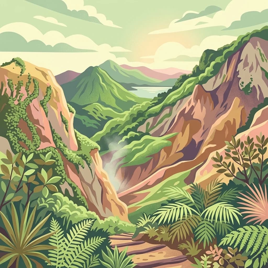
Guadeloupe National Park
Explore mapped boundaries and regional geography.
Guadeloupe National Park, in Guadeloupe. Landscapes: mountains, forests, and wetlands.
- Area
- 173 km²
- Established
- 1989
- IUCN
- II
- Relief
- Mountain

Review documented seismic events catalogued by epicenter distance and magnitude within the region
Review a historical compilation of seismic events recorded in the vicinity of Sanctuaire Agoa. This catalogue organizes earthquake data by event date, magnitude, depth, and distance from the protected marine zones of the French Antilles. The provided records facilitate a clearer understanding of local seismic history through a structured and searchable dataset derived from regional monitoring observations.
Related tags
A French marine sanctuary in the Caribbean protecting whales, dolphins, and other marine mammals across the Antilles.
Sanctuaire Agoa is a large French marine protected area in the Caribbean, dedicated to the conservation of marine mammals. It was established on 5 October 2010 in Montego Bay, Jamaica, during the annual meeting of the International Whaling Commission, and it represents one of only three sanctuaries formally recognized by that body, alongside the Southern Ocean and Indian Ocean whale sanctuaries. The sanctuary covers roughly 143,000 square kilometers of ocean and corresponds to the entire Exclusive Economic Zone of the French Antilles, surrounding Guadeloupe, Martinique, Saint-Martin, and Saint-Barthélemy. Its name comes from "Maï d'Agoa," the mother of the spirit of waters in Amerindian mythology, reflecting a cultural framing that connects the protected area with the indigenous heritage of the region. Beyond its symbolic and political role, Sanctuaire Agoa is a practical conservation instrument focused on the study, governance, and protection of cetaceans and other marine mammals. It serves as a platform for scientific campaigns, regional cooperation with neighboring Caribbean states, and the development of responsible whale-watching ecotourism.
Search Sanctuaire Agoa observations by date and distance
Sanctuaire Agoa’s earthquake records are associated through epicentres and distance from its eastern Caribbean waters, without asserting sanctuary occurrence. Time, magnitude, depth, locality, separation, and sources retain historical evidence without implying effects on marine mammals, assigning a sanctuary-based cause, defining present risk, or forecasting earthquakes.
This page describes catalogued earthquakes associated with the park by epicentre location and distance. It does not establish causation, assess current danger, or predict future earthquakes.
No earthquake records match the current filters
Move beyond Sanctuaire Agoa earthquake observations

Northwest
Explore mapped boundaries and regional geography.
Guadeloupe National Park, in Guadeloupe. Landscapes: mountains, forests, and wetlands.

West
Coastal habitat protection and seabed geography in the French Caribbean.
This protected area encompasses over 600 hectares of seabed and water column along the Le Prêcheur coastline. It represents a significant conservation effort within the Lesser Antilles, preserving coral reefs and nearshore marine structures situated beneath the volcanic terrain of northern Martinique. Named after the oceanographer Albert Falco, the reserve maintains a distinct connection to the maritime heritage of the island.

Southwest
Explore ancient Atlantic coastal landscapes and protected habitats in Martinique.
Located on the eastern tip of Martinique, the Réserve naturelle nationale de la presqu'île de la Caravelle stands as a critical protected landscape. This atlas entry details its unique geological history, dating back twenty-five million years, alongside its complex network of mangrove-fringed bays, dramatic Atlantic cliffs, and specialized island ecosystems. It serves as an essential reference for understanding the distinctive biogeography of the French Caribbean.
Northwest
A vital marine protected area on the edge of the Anguilla Bank.
Man of War Shoal National Marine Park represents a significant Caribbean marine sanctuary covering 3,100 hectares of coastal sea. The area is defined by its intact patch reefs, submerged 19th-century shipwrecks, and varied seabed topography, including vertical walls and expansive seagrass fields that support diverse pelagic and reef-dwelling marine life.

Northwest
Explore Dominica's volcanic terrain and mapped protected areas.
Delve into the protected landscape of Cabrits National Park, a key component of Dominica's natural heritage. This entry provides an atlas-focused view of the park, detailing its geographic setting and mapped boundaries within the island nation. Understand how Cabrits National Park contributes to the regional geography of the Lesser Antilles and appreciate its significance as a protected natural area for structured discovery.
Northwest
Volcanic foundations, shipwreck reefs, and marine conservation zones
Sint Eustatius National Marine Park protects a diverse Caribbean marine ecosystem defined by its volcanic origins. The area features reefs growing on submerged lava flows and colonial shipwrecks, integrated with designated no-take reserves that safeguard critical sea turtle nesting sites and migratory corridors for cetaceans.

Northwest
Explore its unique geothermal terrain and mapped natural boundaries.
Morne Trois Pitons National Park, in Dominica. Landscapes: mountains, hills, and valleys.
Northwest
Mapped protected areas and regional landscape context.
Morne Diablotin National Park serves as a vital national park within Dominica, offering specific insights into its protected terrain and geographic setting. Explore its mapped boundaries and understand its role as a distinct natural landscape within the island's atlas, providing focused discovery for those interested in protected areas and their regional context.
Continue mapping the expansive maritime corridors of Sanctuaire Agoa. Understand the role of this French Caribbean sanctuary in regional marine mammal conservation through structured geographic data and landscape analysis on MoriAtlas.