Mori Atlas logo
Park earthquake history

Review documented seismic occurrences, event depths, and epicenter distances relative to the reserve boundaries.

Historical Catalogue of Recorded Earthquakes Associated with the Sian Ka'an Biosphere Reserve

This archive presents a collection of historical earthquake records identified by proximity to the Sian Ka'an Biosphere Reserve in Quintana Roo. Each entry in the database correlates specific seismic events with their measured magnitude and geographical distance from the protected landscape. Researchers and visitors can trace the documented history of local ground movement to gain a clearer understanding of regional seismic patterns across the Yucatan Peninsula.

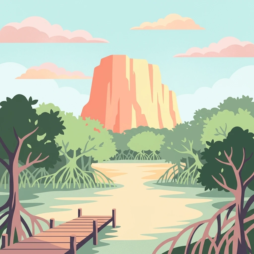
A digital illustration of a wooden pier leading into a calm, shallow waterway surrounded by mangrove trees, with a large, flat-topped orange-tinted rock formation under a pale blue sky with pink clouds.

Where the sky begins: a vast Caribbean biosphere of mangroves, cenotes, and coral reefs.

Sian Kaan Biosphere Reserve

Sian Kaan is a vast protected natural area on the Caribbean coast of the Yucatan Peninsula in the Mexican state of Quintana Roo. Its name comes from the Maya language and means "gateway to the sky" or "place where the sky begins," a phrase that captures the reserve's sense of openness along the low, flat coastline. The reserve protects a mosaic of tropical ecosystems that includes white sand beaches, small bays, mangrove forests, freshwater wetlands, low tropical forests, cenote systems, and a section of the Mesoamerican Barrier Reef, the second largest coral reef system in the world. Its blend of freshwater springs rising through saline marshland creates rare formations known locally as petenes, where tall trees rise out of otherwise flat swamps. Sian Kaan was inscribed as a UNESCO World Heritage Site in 1987 and later designated as a Ramsar wetland site, reflecting both its cultural and ecological significance. It remains one of the largest tropical protected areas in Mexico and an important region for Maya archaeology, marine biodiversity, and coastal conservation in the Yucatan Peninsula.

Location
Mexico
Park type
Biosphere reserve
Established
1986
Area
5,281.5 km²
Explore Sian Ka'an Biosphere Reserve Geography

Navigate Sian Ka'an earthquake observations by distance

Investigate recorded earthquakes in the wider area around Sian Ka'an

Recorded earthquakes around Sian Ka'an are associated with the protected area through epicentre location and measured distance, not proof of boundary occurrence. Investigate dates, magnitudes, depths, place labels, distance data, and source records without treating coastal, wetland, or reserve features as seismic causes, defining present danger, or predicting future events.

Sort by
Magnitude
Location

This page describes catalogued earthquakes associated with the park by epicentre location and distance. It does not establish causation, assess current danger, or predict future earthquakes.

No earthquake records match the current filters

Park atlas

Move on from Sian Ka'an earthquake history to new destinations

Browse more parks and protected places beyond Sian Ka'an

The following destinations broaden exploration beyond its Caribbean mangroves, cenotes, and reefs. They are independent atlas suggestions, not places matched by biosphere status, coastal ecology, geology, seismic exposure, proximity, or source coverage.
Watercolor painting showing layered mountains, green valleys, and a river
National parkQuintana Roo
45 km away#1 closest

Northeast

Arrecifes de Cozumel National Park: National Park Protected Landscape and Map Exploration

Discover the geographic boundaries and regional context.

Arrecifes de Cozumel National Park represents a significant protected national park within the Quintana Roo region. This page provides detailed atlas-style information about its protected landscape, enabling users to explore its defined boundaries and understand its place in the broader geographic context of Mexico. Discover the mapped terrain and the structured facts that illuminate this vital conservation area.

Area
120 km²
Established
1996
IUCN
II
Climate
Tropical
National parkAmbergris Caye
About 105 km away#2 closest

South

Bacalar Chico National Park and Marine Reserve: Belize National Park & Marine Reserve Atlas

Explore Ambergris Caye's unique barrier island and reef geography.

Discover the extensive protected territory of Bacalar Chico National Park and Marine Reserve, a critical national park and marine reserve situated on Ambergris Caye, Belize. This protected area showcases a rich diversity of landscapes, from rare littoral forests and inland wetlands to vital coral reefs and sea grass beds integral to the Mesoamerican Barrier Reef System. Its unique geographic position and ecological significance make it a key destination for understanding Belize's conservation landscapes and mapped marine environments.

Area
62.8 km²
Established
1996
IUCN
IV
Relief
Lowland
Wildlife reserveQuintana Roo
About 146 km away#3 closest

North

Área de Protección de Flora y Fauna Yum Balam: Protected Wildlife Reserve Atlas and Geography

A diverse coastal mosaic in northern Quintana Roo, Mexico.

Discover the mapped landscape of Área de Protección de Flora y Fauna Yum Balam, a critical wildlife reserve on the Yucatan Peninsula. This protected area features a unique combination of semideciduous tropical forests, inland mangrove lagoons, and freshwater wetlands, offering a comprehensive look at the ecological diversity of the northern Caribbean coast.

Area
1,540.52 km²
Established
1994
IUCN
VI
Relief
Lowland
A stylized vector illustration of tiered Mayan pyramid structures rising above a dense green jungle landscape under a soft pastel sky.
Biosphere reservePetén Department
187 km away#4 closest

Southwest

Maya Biosphere Reserve: Geographic Overview and Protected Landscapes in Petén

Tropical forest ecosystems and ancient archaeological mapping

Covering roughly one-fifth of Guatemala, the Maya Biosphere Reserve represents a pioneering model of zoned conservation. The landscape features a complex mosaic of lowland rainforests, savanna patches, and seasonal wetlands formed over a weathered limestone platform. This atlas summary examines the reserve's ecological boundaries, its vital role in protecting Mesoamerican biodiversity, and the concentration of pre-Columbian cities located across the Petén Department.

Area
21,602 km²
Established
1990
Relief
Mixed relief
Climate
Tropical
A watercolor painting showing soft, rolling hills in the distance with a marshy wetland and patches of greenery in the foreground.
Nature reserveYucatán
About 218 km away#5 closest

Northwest

Cuxtal Ecological Reserve: Mapping the Protected Landscape and Geography of Yucatán

Nature reserve featuring critical groundwater recharge and historic cultural sites.

Cuxtal Ecological Reserve represents a significant protected area in Yucatán, Mexico, known for its strategic role in supplying water to Mérida. The landscape encompasses a vast expanse of seasonally dry low deciduous forest, interspersed with limestone karst formations, historic hacienda complexes, and archaeological remnants. This unique reserve provides essential habitats for migratory birds and local fauna while demonstrating the integration of environmental research, cultural heritage, and sustainable land management in a rapidly developing region.

Area
107.57 km²
Established
1993
Relief
Lowland
Climate
Tropical
National parkCayo District
218 km away#6 closest

Southwest

Guanacaste National Park National Park: Explore its Protected Landscape and Geographic Setting

Mapped natural terrain and regional context within Cayo District.

Delve into the specifics of Guanacaste National Park, a protected national park located in the Cayo District of Belize. This detail page is designed for atlas exploration, offering insights into the park's geographic boundaries and its significance as a defined natural landscape. Understand how this protected area fits into the regional geography and contributes to the mapped natural heritage of Belize.

Area
0.2 km²
Established
1973
IUCN
II
Climate
Tropical
National parkCayo District
About 226 km away#7 closest

Southwest

St. Herman's Blue Hole National Park: National Park Protected Landscape and Geographic Setting

Mapped Boundaries and Regional Landscape Context in Cayo District

St. Herman's Blue Hole National Park is an integral protected landscape within Belize, situated in the Cayo District. This national park offers specific geographic features and mapped boundaries essential for understanding its place within regional conservation. MoriAtlas provides detailed context for exploring the park's protected terrain and its contribution to the broader geographic atlas, focusing on landscape identity and mapped outlines for analytical discovery.

Area
2 km²
Established
1986
Climate
Tropical
Access
Easy access
National parkMexico
About 228 km away#8 closest

Northwest

Dzibilchantún National Park: Protected Landscape in Mexico's Atlas

Mapped boundaries and regional geography for this national park.

Delve into the protected landscape of Dzibilchantún National Park, a significant national park situated within Mexico. This entry offers a detailed look at its geographic positioning, mapped park boundaries, and its role within the national atlas of protected areas. Understand the specific landscape context and regional geography that define Dzibilchantún National Park for comprehensive exploration.

Area
5.39 km²
IUCN
II
Relief
Lowland
Climate
Tropical
MoriAtlas Explorer

Deepen Your Understanding of Sian Ka'an Biosphere Reserve Landscapes

Continue exploring the intricate geographic patterns of Sian Ka'an Biosphere Reserve through the MoriAtlas structured database. Gain insight into the coastal plains, mangrove belts, and reef systems that define this major protected area in Quintana Roo and connect to the broader Yucatan Peninsula landscape.