Mori Atlas logo
National parkSjunkhatten National Park

Explore the mapped geographic boundaries and regional context of this protected natural area.

Sjunkhatten National Park: Norway's Protected National Park Landscape in Nordland

(Sjunkhatten nasjonalpark)

Sjunkhatten National Park stands as a significant protected landscape within Norway's Nordland region. This page serves as your entry point to understanding its distinct geographic identity, mapped boundaries, and role as a national park. Discover the atlas context of this protected area, focusing on its physical geography and landscape character to deepen your appreciation for its place within the broader Norwegian geography.

National parksProtected areasFjordsKarst landscapesCavesMountain wilderness

Sjunkhatten National Park

National park

Park overview

Structured park overview, official facts, and landscape profile for Sjunkhatten National Park

Sjunkhatten National Park park facts, protected area profile, and essential visitor context
Review the core facts for Sjunkhatten National Park, including designation, size, terrain, visitor scale, habitats, and operating context in one park-focused overview.

About Sjunkhatten National Park

Sjunkhatten National Park represents one of North Norway's most significant protected wilderness areas, established to preserve a virtually untouched mountain-fjord ecosystem. The park occupies a peninsula dramatically positioned between two major fjords, Sørfolda and Saltfjorden, creating a landscape of exceptional geological and ecological complexity. The terrain showcases the powerful legacy of Pleistocene glaciation, with glacier-scoured mountains presenting both rugged jagged peaks and more rounded summit forms. Beneath the surface, an extensive karst system has developed, with caves and underground water systems adding another dimension to the park's character. The large freshwater lake Heggmovatnet anchors the interior, while coastal waters include important marine habitats. The park's protection reflects Norway's commitment to preserving wilderness areas that maintain ecological connectivity and represent the country's natural heritage. The continuous protection status ensures the landscape remains largely unaltered, allowing natural processes to continue without significant human interference while preserving biodiversity for future generations.

Quick facts and research context for Sjunkhatten National Park

Sjunkhatten National Park covers 417.5 km² of continuously protected land and 39.8 km² of marine area in Nordland county, northern Norway. The park was formally established on 5 February 2010 following a proposal from the Ministry of the Environment in 2007 and extensive stakeholder consultations. It spans three municipalities and protects a distinctive mountain-fjord landscape shaped by Pleistocene glaciation, featuring karst caves, the large lake Heggmovatnet, and coastal waters that serve as spawning grounds for cod and other fish.

Park context

Deeper park guide and search-rich context for Sjunkhatten National Park

Sjunkhatten National Park history, landscape, wildlife, and travel context
Explore Sjunkhatten National Park through its history, landscape character, ecosystems, wildlife, conservation priorities, cultural context, and seasonal travel timing in a structured park guide built for atlas discovery and search intent.

Why Sjunkhatten National Park stands out

Sjunkhatten is best known for its spectacular glacier-formed mountain landscape, extensive karst cave systems, and the dramatic contrast between sharp alpine peaks and the deep fjords that border the peninsula. The park is notable for supporting exceptional biodiversity in an Arctic setting, including rare red-listed species such as the Antarctic lichen Fuscopannaria ignobilis, white-tailed eagles, gyrfalcons, and Eurasian lynx. The combination of geological significance, ecological diversity, and deep historical roots spanning thousands of years makes this park a distinctive protected area in Norway's northern landscape.

Sjunkhatten National Park history and protected-area timeline

The establishment of Sjunkhatten National Park emerged from Norway's revised national parks strategy, with the Ministry of the Environment first proposing protection for the peninsula in 2007. This initiative reflected both national conservation targets and international commitments under the IUCN and the Convention on Biological Diversity. The proposal underwent extensive local and regional consultation throughout 2008, including four public meetings and input from over 570 stakeholders. Following refinement through these consultations, the proposal was submitted to the Directorate for Nature Management in February 2008. Final ministerial approval came in late 2009, and the park was formally established by royal resolution on 5 February 2010. The process exemplified Norway's approach to protected area establishment, balancing conservation objectives with local community engagement and stakeholder input.

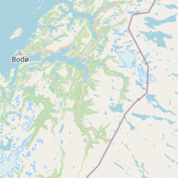
Sjunkhatten National Park landscape and geographic character

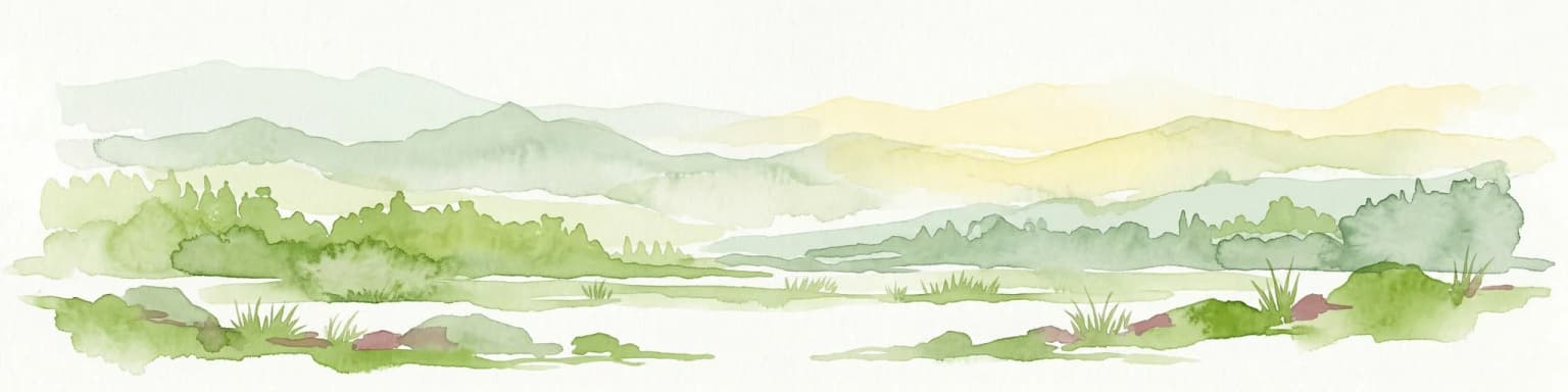
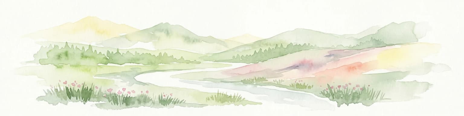
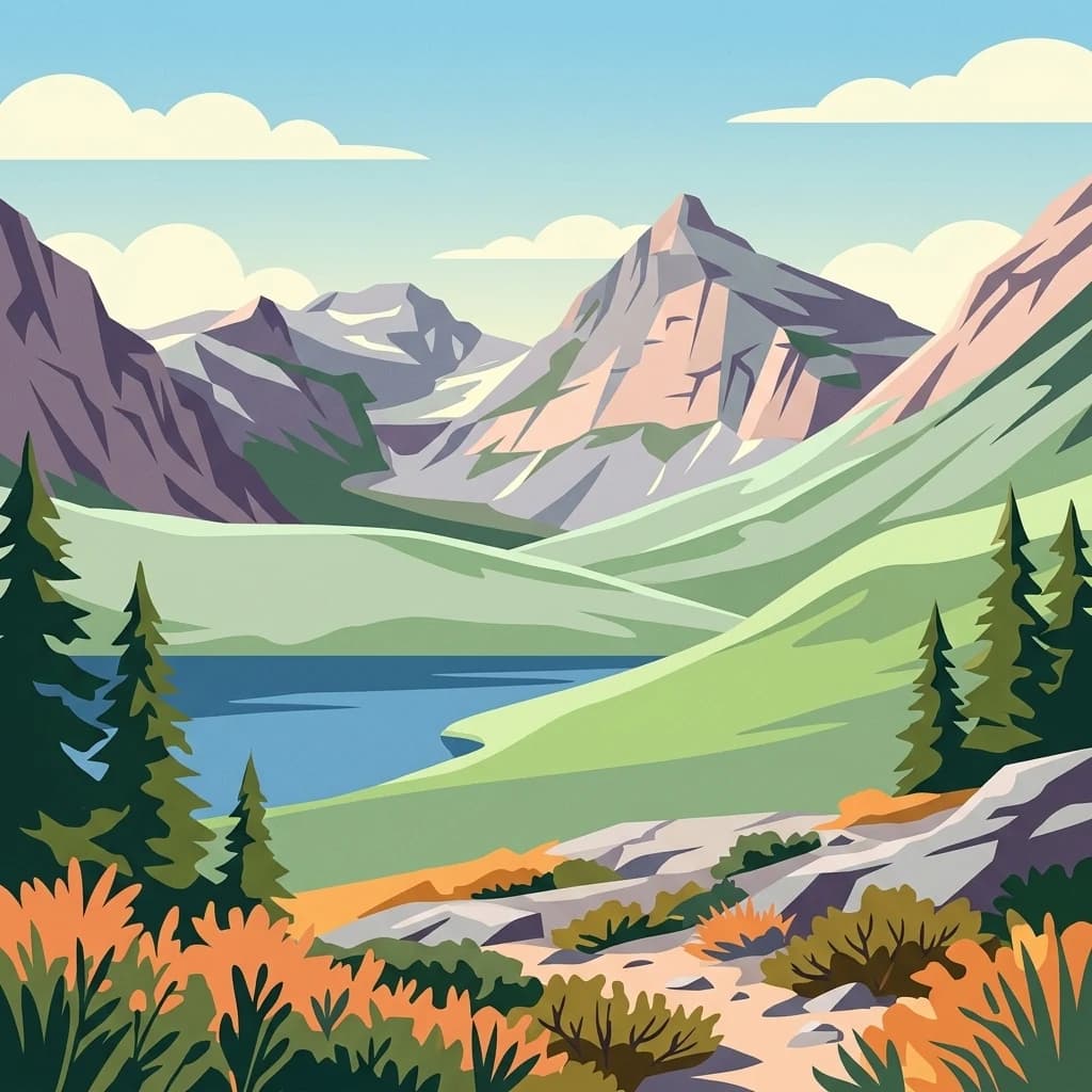
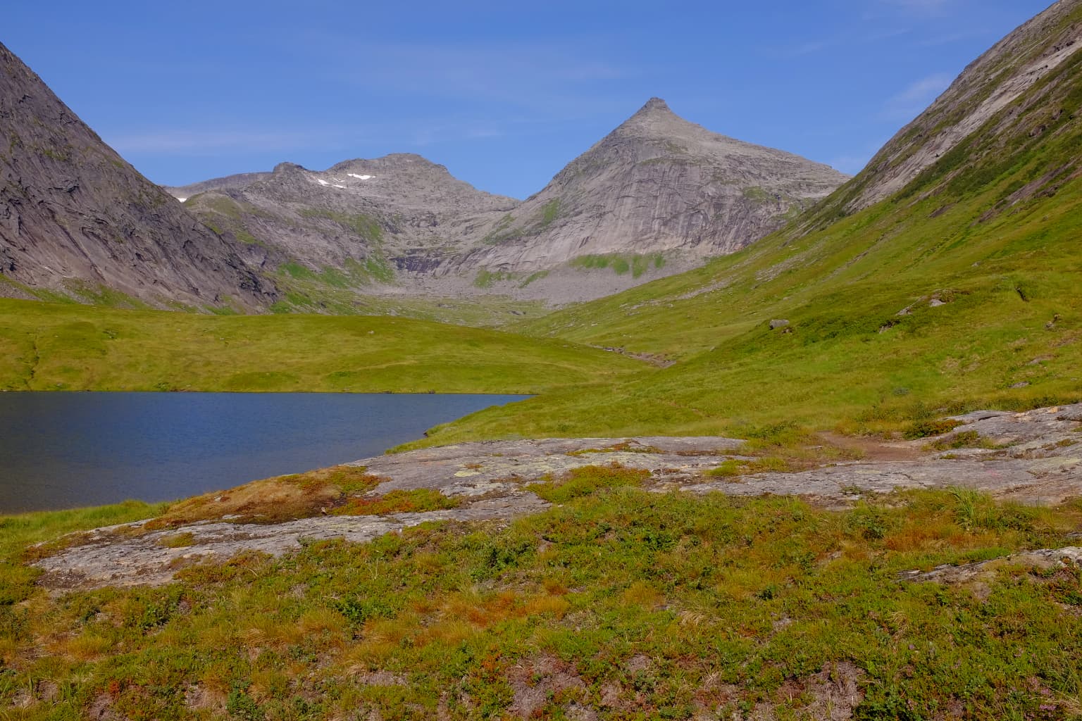
Sjunkhatten National Park presents a dramatic landscape defined by its mountainous terrain and fjord setting. The peninsula rises sharply from the waters of Sørfolda and Saltfjorden, with glacier-scoured mountains forming the backbone of the park. These mountains display the characteristic imprint of past glaciation, with both sharp, jagged peaks and more weathered rounded summits reflecting different geological exposures and erosion patterns. The park contains extensive karst terrain, with numerous cave systems carved into the limestone bedrock. These caves, together with the surface water systems, form an interconnected hydrological network. The large freshwater lake Heggmovatnet occupies a significant position in the park's interior, serving as a focal point for the surrounding terrain. The combination of mountain, fjord, karst, and lake creates a landscape of considerable visual and geological diversity within a relatively compact area.

Sjunkhatten National Park ecosystems, habitats, and plant life

The ecological character of Sjunkhatten National Park reflects its position in Norway's Arctic north, yet the park supports considerably more biological diversity than might be expected at this latitude. Field inventories have documented fifteen red-listed species, indicating the conservation significance of the area. The park encompasses a range of habitats from boreal birch forest at lower elevations through to alpine tundra on the highest ground. Karst rock outcrops provide specialized niches for bryophytes and invertebrates, representing unique ecological communities adapted to the limestone environment. The coastal marine waters within the park serve as spawning grounds for cod and other fish species, linking the terrestrial and marine ecosystems. This diversity of habitats, combined with the relatively pristine condition of the area, supports populations of species that are rare or threatened elsewhere in Norway.

Sjunkhatten National Park wildlife and species highlights

Sjunkhatten National Park is home to notable wildlife populations despite its northern latitude. The park supports significant bird of prey populations, including white-tailed eagles and gyrfalcons, both of which are impressive raptors of the Arctic. The Eurasian lynx, a elusive feline predator, inhabits the park's forests and rocky terrain. The karst cave systems provide refuge for specialized invertebrate communities that have adapted to the unique underground environment. In the coastal waters, cod and other fish species use the fjords as spawning grounds, supporting marine food webs and local fisheries. The presence of fifteen red-listed species underscores the park's importance as a refuge for species of conservation concern, reflecting the ecological value of maintaining a large, continuously protected wilderness area in this region.

Sjunkhatten National Park conservation status and protection priorities

Sjunkhatten National Park plays a significant role in Norway's conservation network, protecting one of North Norway's largest remaining nearly untouched mountain-fjord complexes. The park's establishment in 2010 reflected national conservation targets and international commitments under the IUCN and the Convention on Biological Diversity. The protection of this continuously protected area ensures the maintenance of ecological processes across a diverse landscape spanning marine, freshwater, forest, and alpine habitats. The presence of fifteen red-listed species, including the Antarctic lichen Fuscopannaria ignobilis, demonstrates the park's importance for biodiversity conservation. The karst cave systems represent particularly sensitive geological features requiring protection, while the coastal spawning grounds link the park's conservation value to broader marine ecosystem health. Management regulations control new construction and major interventions, requiring ministerial consent to ensure conservation objectives remain paramount.

Sjunkhatten National Park cultural meaning and human context

The landscape of Sjunkhatten National Park bears traces of human presence stretching back to the Mesolithic period, some 8,000 to 9,000 years ago. Stone Age dwelling sites cluster along the sheltered fjord inlets, reflecting the importance of these coastal locations for early inhabitants. Later, Sámi reindeer herders established seasonal camps in the inner valleys, maintaining traditional practices that shaped the cultural landscape. The park retains evidence of traditional land use including sheep grazing, berry gathering, and beekeeping, activities that continue in the surrounding area. Historic timber plantings and century-old farmsteads survive on the lower slopes, representing a long history of sustainable rural use. The approximately 40 private cabins within the park, most dating from the mid-20th century, reflect more recent human relationship with this landscape. This deep historical continuity adds cultural dimension to the park's natural significance.

Top sights and standout views in Sjunkhatten National Park

Sjunkhatten National Park stands out for its combination of geological significance, ecological diversity, and cultural depth within a single protected area. The extensive karst and cave systems represent a distinctive geological feature uncommon in northern Norway. The park protects a complete mountain-fjord ecosystem from alpine peaks through birch forest to marine fjords, supporting exceptional biodiversity including rare species like the Antarctic lichen Fuscopannaria ignobilis and birds of prey such as the gyrfalcon. The human history spanning thousands of years, from Mesolithic settlements through Sámi reindeer herding to traditional farming, creates a landscape where natural and cultural heritage intertwine. The dramatic mountain landscape, with its glacier-scoured peaks rising above deep fjords, offers outstanding scenic value while remaining one of North Norway's largest nearly untouched wilderness areas.

Best time to visit Sjunkhatten National Park

Sjunkhatten National Park can be visited throughout the year, with each season offering different characteristics. Summer months bring extended daylight hours and relatively mild temperatures, making them ideal for hiking and exploring the peninsula's trails. The snow-free period allows access to higher elevations and the karst cave systems. Autumn offers opportunities to witness the landscape transforming with fall colors while potentially spotting wildlife as animals prepare for winter. Winter transforms the park into a cross-country skiing destination, though conditions are harsh and visitors should be prepared for Arctic conditions. The park's northern latitude means summer days are very long while winter brings limited daylight. The best time for wildlife viewing tends to be during the warmer months when animals are more active in the open.

Park location guide

Geography guide, regional context, and park location map for Sjunkhatten National Park

Sjunkhatten National Park park geography, regions, and map view in Norway
Understand where Sjunkhatten National Park sits in Norway through a broader geographic reading of the surrounding landscape, nearby location context, and its mapped position within the national park landscape.

How Sjunkhatten National Park fits into Norway

Norway, officially the Kingdom of Norway, is a Nordic country in Northern Europe located on the Scandinavian Peninsula. It encompasses mainland Norway, the Arctic islands of Svalbard and Jan Mayen, and maintains dependencies including Bouvet Island and Antarctic claims. The country has a population of about 5.6 million and is bordered by Sweden, Finland, and Russia. Norway is a unitary parliamentary constitutional monarchy with Oslo as its capital and largest city.

Wider geography shaping Sjunkhatten National Park in Norway

Norway occupies the western and northern portions of the Scandinavian Peninsula in Northern Europe. The country shares a long eastern border with Sweden, and borders Finland and Russia to the northeast. Norway has an extensive coastline facing the Skagerrak, North Sea, Norwegian Sea, and Barents Sea. The terrain is predominantly mountainous with numerous fjords along the coastline.

Map view of Sjunkhatten National Park

Use this park location map to pinpoint Sjunkhatten National Park in Norway, understand its exact geographic position, and read its mapped placement within the surrounding landscape more clearly.

Pigeon | © OpenStreetMap contributors

Location context for Sjunkhatten National Park

Nordland
Park atlas

Trace the regional park geography, comparing protected landscapes surrounding Sjunkhatten National Park.

Compare National Parks and Protected Areas Near Sjunkhatten National Park in Northern Norway
Explore national parks and other protected areas geographically linked to Sjunkhatten National Park, tracing the surrounding mountain wilderness, deep fjords, and karst landscapes. Gain broader context by comparing conservation efforts and diverse Arctic ecosystems across the Nordland region and adjacent northern Norwegian territories.
Watercolor illustration showing mountains, a river, and forests in a landscape
National parkNordland

Rago National Park: Northern Norway's Protected Mountain Wilderness and Transboundary Atlas

Explore the mapped terrain and unique landscape context of this significant protected area.

Rago National Park is a protected national park in Nordland, Norway, recognized for its challenging mountainous terrain and its crucial role as part of a vast transboundary protected area complex spanning into Sweden. The park's landscape features alpine lakes and glaciers, offering a stark representation of northern Scandinavian mountain wilderness. Understanding Rago National Park provides insight into regional conservation efforts and the geographic significance of large-scale protected lands in Europe.

Area
171 km²
Established
1971
IUCN
II
Relief
Mountain
Watercolor illustration of a landscape with rolling hills, a river, and trees
National parkNordland

Junkerdal National Park: Protected Arctic-Alpine Landscape in Nordland, Norway

Explore mapped boundaries and unique geographic context.

Delve into Junkerdal National Park, a significant protected area within Nordland county, Norway. This national park is celebrated for its rich arctic-alpine flora, including rare plant species that thrive at their southernmost European range. The varied landscape, shaped by glacial activity, features dramatic mountain valleys and alpine plateaus, offering a distinct geographic profile. Understand its protected status and mapped terrain, providing a critical point of discovery for regional landscape context.

Area
682 km²
Established
2004
IUCN
II
Relief
Mountain
National park

Láhko National Park: Northern Norway's Protected Arctic Landscape and Geographic Atlas Entry

Mapped boundaries and terrain of a key Finnmark national park.

Láhko National Park is a significant protected area within Norway's Finnmark region, representing a vast expanse of sub-Arctic wilderness and characteristic tundra ecosystems. This park serves as a crucial element in the atlas of northern European protected lands, offering insights into the geographic features and ecological integrity of high-latitude environments. Explore Láhko National Park through MoriAtlas to understand its landscape context, mapped terrain, and its role in preserving Nordic wilderness.

Watercolor illustration of a winding river through a green landscape with distant mountains
National parkNorrbotten County

Padjelanta National Park: Sweden's Largest National Park Protected Plateau Landscape

Explore subarctic terrain, large lakes, and Laponia World Heritage Site geography.

Padjelanta National Park, situated in Norrbotten County, is Sweden's largest national park. It features a distinctive subarctic plateau ecosystem centered around two vast lakes, offering a starkly open landscape compared to adjacent alpine areas. This protected area is renowned for its exceptional botanical and lichen diversity, a vital part of the Laponia World Heritage Site. Users can explore its mapped geography, unique terrain, and the cultural significance of this expansive arctic wilderness.

Area
1,984 km²
Established
1963
IUCN
II
Relief
Highland
Watercolor illustration showing mountains, a river, and colorful landscape regions
National park

Saltfjellet, Svartisen National Park: Glacial Terrain & Protected Arctic Wilderness

Norway's vast national park with Svartisen glacier and unique flora.

Saltfjellet, Svartisen National Park spans over 2,100 square kilometers of diverse protected wilderness in Northern Norway. Renowned for Svartisen, Scandinavia's second-largest glacier, its landscape transitions from coastal influences to alpine plateaux. The park's calcareous bedrock supports a rich flora, rare in the region, contributing to its distinct geographic identity. Explore the mapped boundaries and natural terrain of this significant protected landscape.

Area
2,192 km²
Established
1989
IUCN
II
Relief
Mixed relief
Watercolor painting showing a landscape with green hills, distant mountains, and scattered vegetation
National parkNordland

Lofotodden National Park: Iconic Arctic Coastal Protected Landscape in Nordland

Mapped terrain and protected area details for a dramatic Nordic landscape.

Delve into the protected landscape of Lofotodden National Park, a key protected area within Norway's Nordland county. This national park showcases the dramatic convergence of the Lofotenveggen mountain range with the North Atlantic coast, featuring rugged granite peaks and unique coastal terrain. MoriAtlas offers a structured view of its mapped boundaries and geographic context, facilitating detailed discovery of this significant Arctic natural heritage.

Area
99 km²
Established
2018
IUCN
II
Watercolor illustration of a mountainous landscape with a river, grass, and distant hills
National parkNorrbotten County

Sarek National Park: Mapping Sweden's Rugged Alpine Wilderness and Glacial Terrain

Explore the mapped geography of Norrbotten County's largest alpine national park.

Sarek National Park represents the heart of Sweden's alpine wilderness, a protected landscape defined by its towering mountain peaks, expansive glaciers, and deeply carved glacial valleys. Situated in Norrbotten County, the park's geography is characterized by a remote and rugged terrain, making it a prime destination for understanding high-altitude natural environments through mapped context. Discover the unique contours of this iconic national park and its place within the broader regional geography of Swedish Lapland.

Area
1,970 km²
Established
1909
IUCN
II
Relief
Mountain
Watercolor illustration showing mountains, a lake, and rolling hills
National parkNordland

Møysalen National Park: Coastal Alpine Protected Landscape in Nordland, Norway

Mapped boundaries, dramatic terrain, and coastal ecosystems.

Møysalen National Park offers a compelling study in coastal alpine geography, situated within Nordland county, Norway. This protected area is renowned for its dramatic mountain scenery where peaks plunge directly into the sea and deep fjords. The park's 51 square kilometres encompass a unique ecological transition from alpine summits to sea level, featuring jagged peaks, sheltered valleys with birch forests, and coastal wetlands. Explore the mapped landscape of this distinctive Norwegian national park and understand its place in regional geography and protected land networks.

Area
51 km²
Established
2003
IUCN
II
Relief
Mountain

Common questions about visiting, size, designation, and location context for Sjunkhatten National Park

Sjunkhatten National Park FAQs for park facts, access, geography, and protected area context
Find quick answers about Sjunkhatten National Park, including protected-area facts, park geography, trail and visitor context, and how the park fits into its surrounding country and regional landscape.
MoriAtlas Explorer

Continue Your Protected Areas Search Across the Global Atlas

Deepen your exploration by continuing the structured search for national parks and protected areas worldwide. Utilize the comprehensive filtering capabilities to compare different conservation landscapes and refine your understanding of global park geography. Discover more about the distribution and characteristics of protected natural areas.

Global natural geography